







Pyramidenkogelweg Keutschach

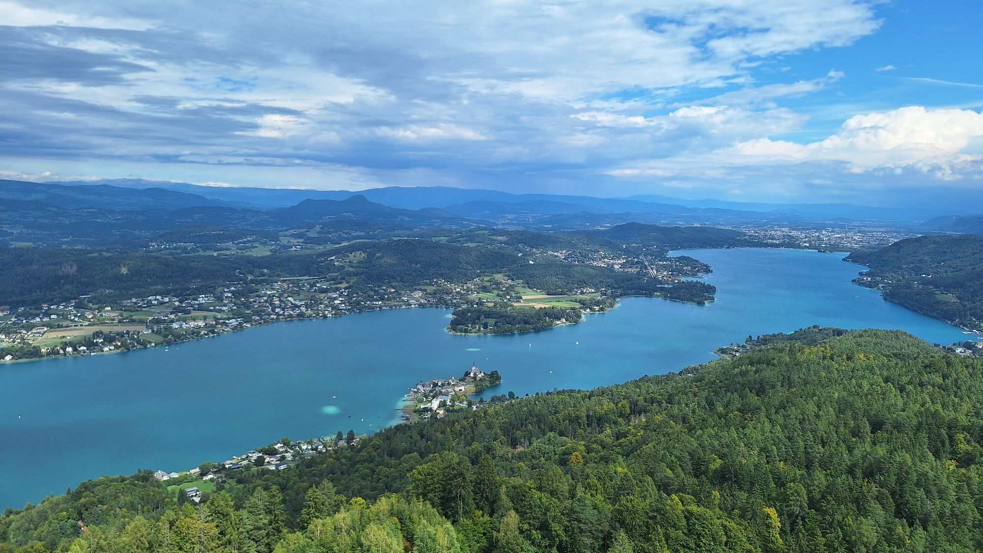
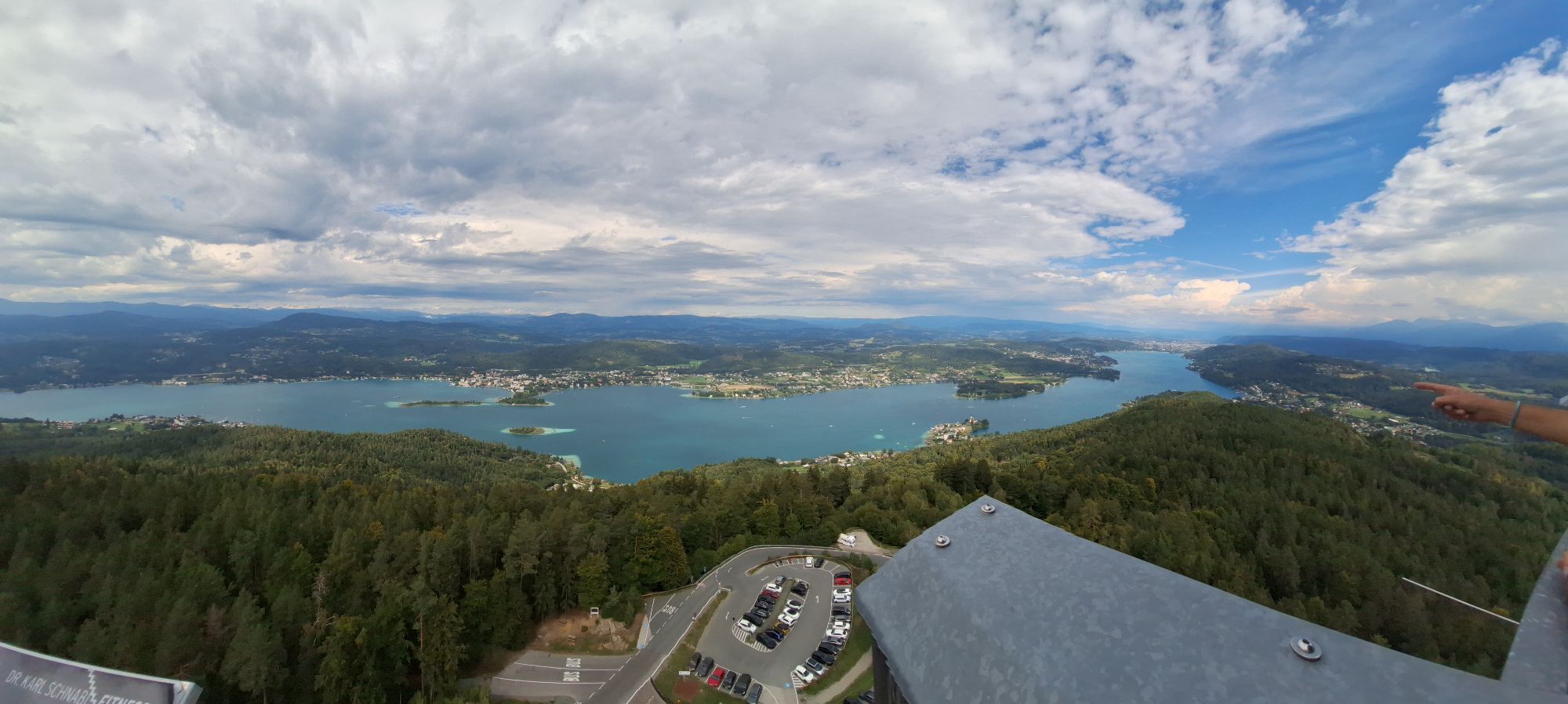
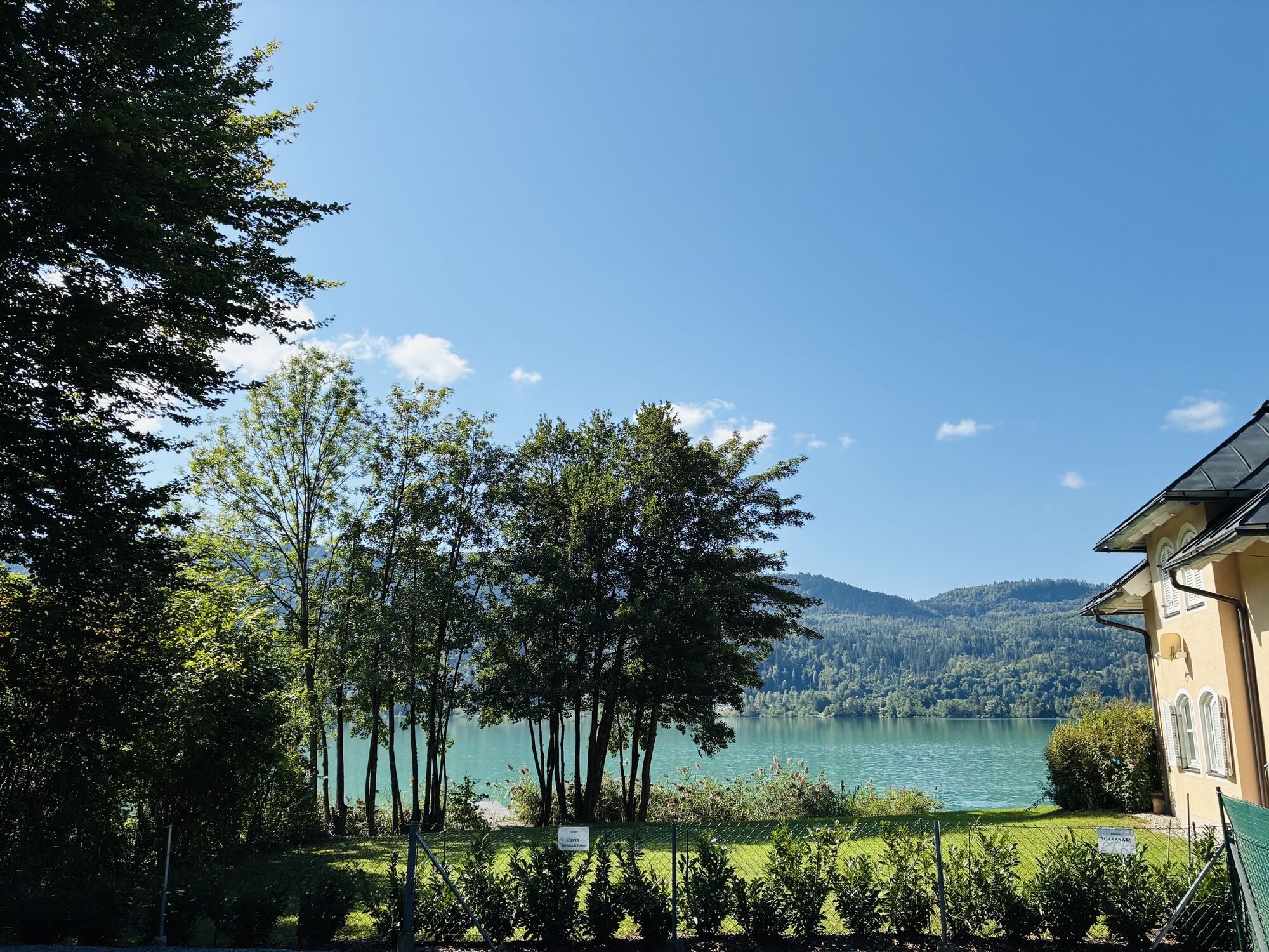
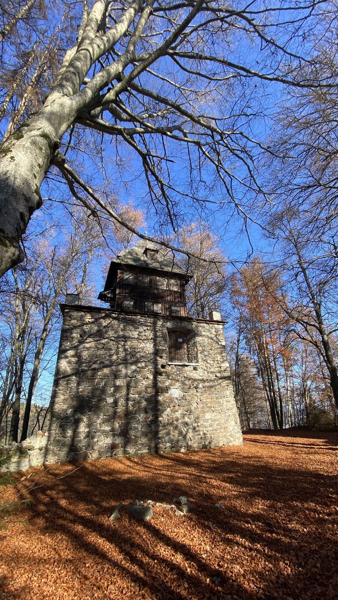
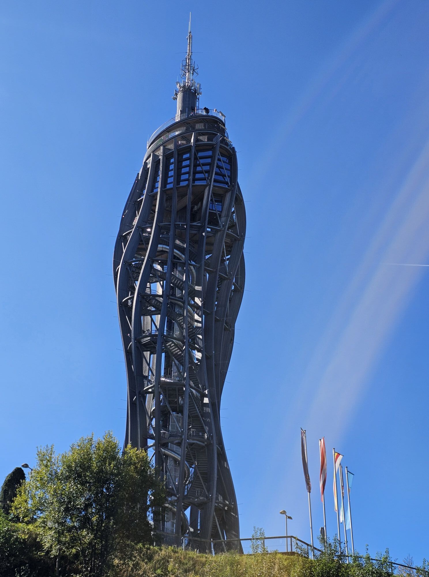
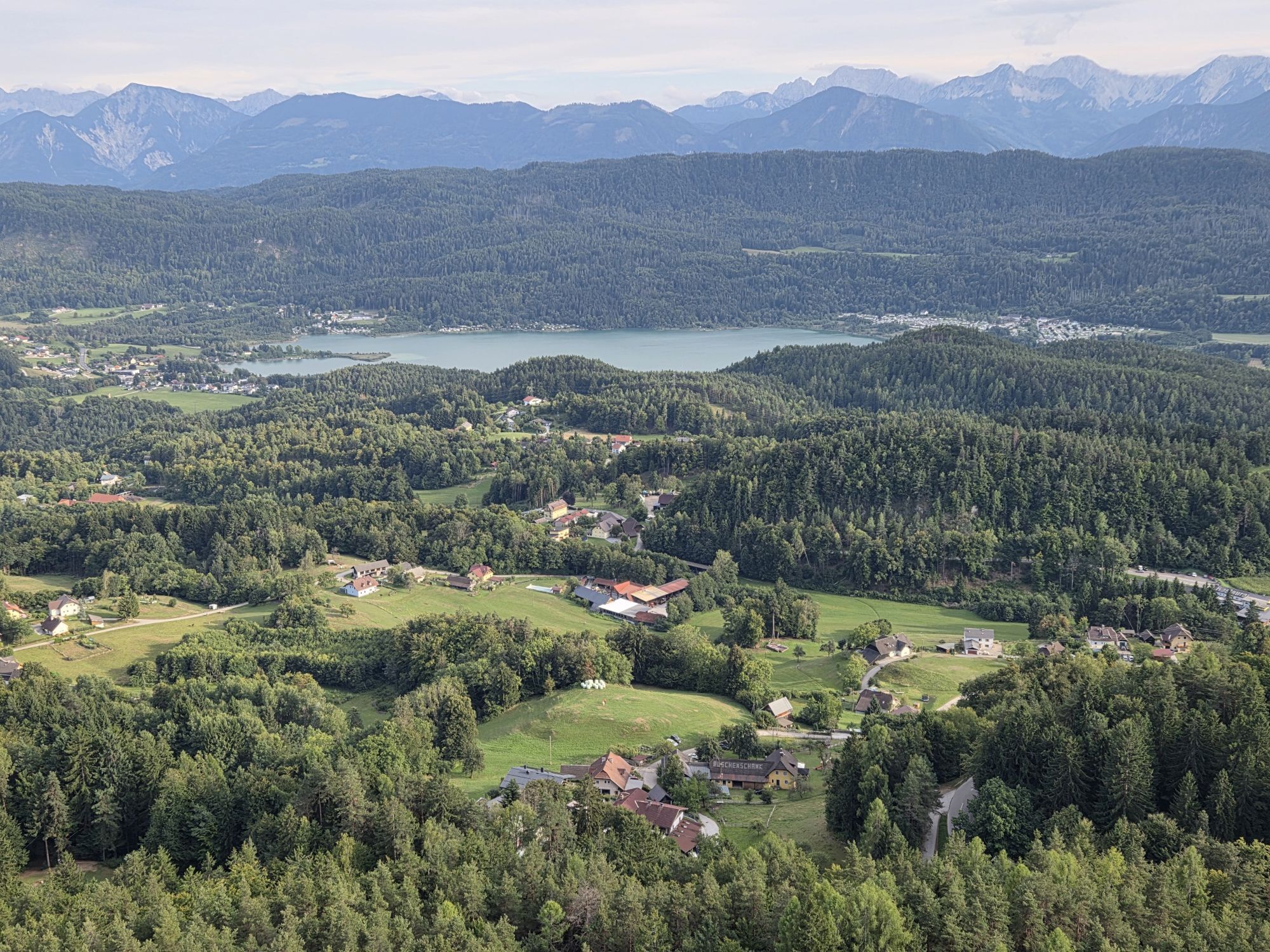
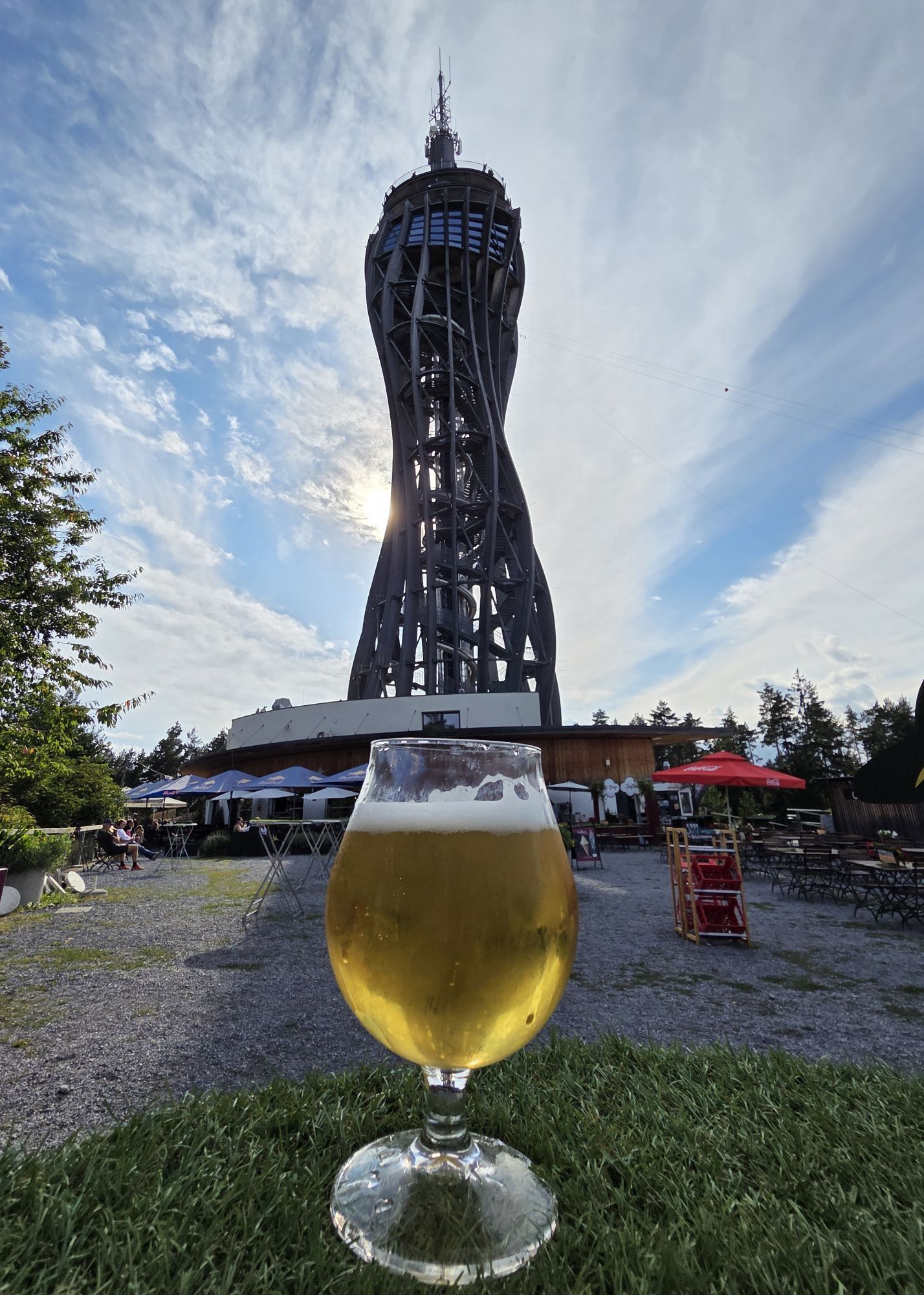
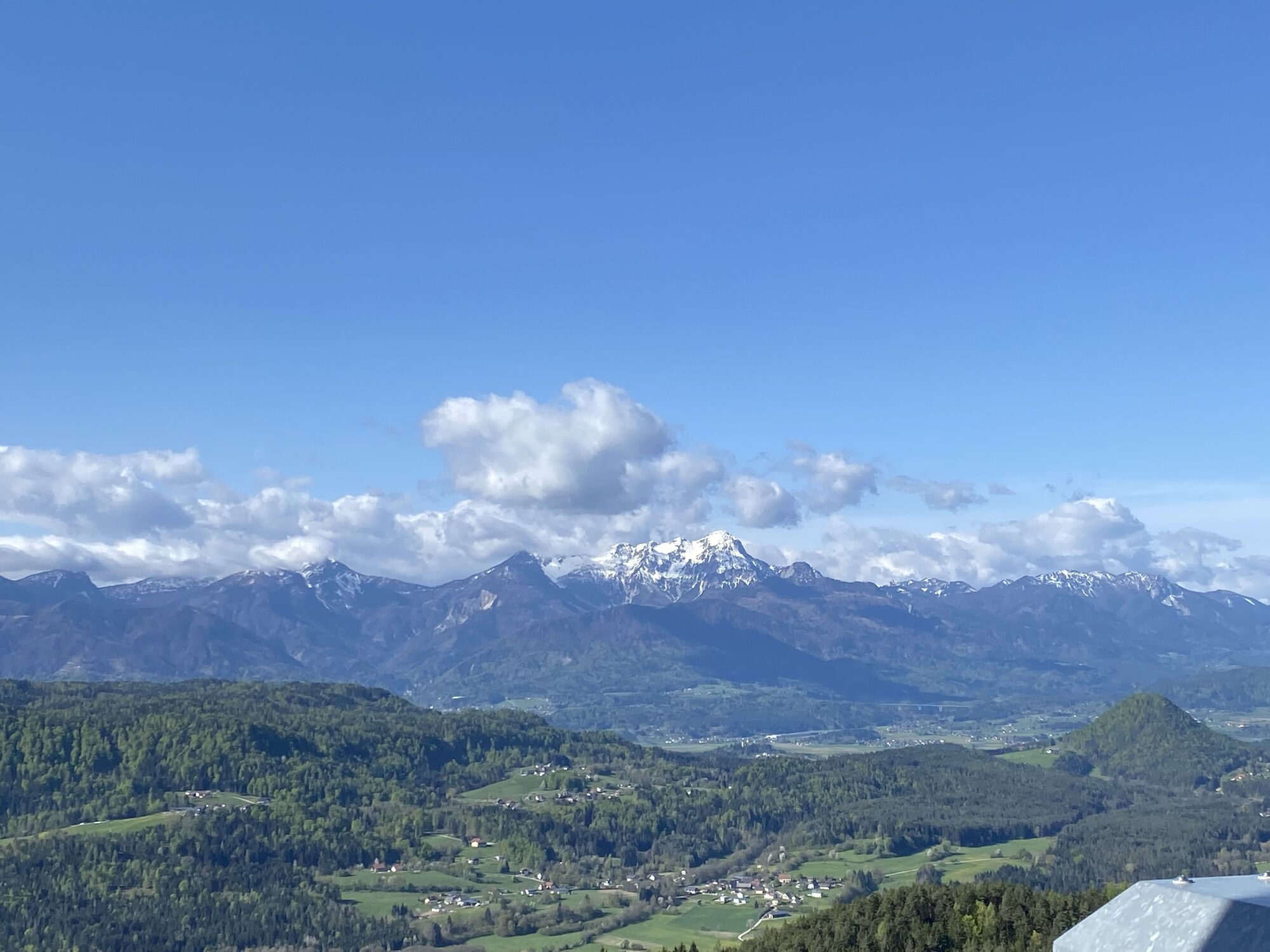
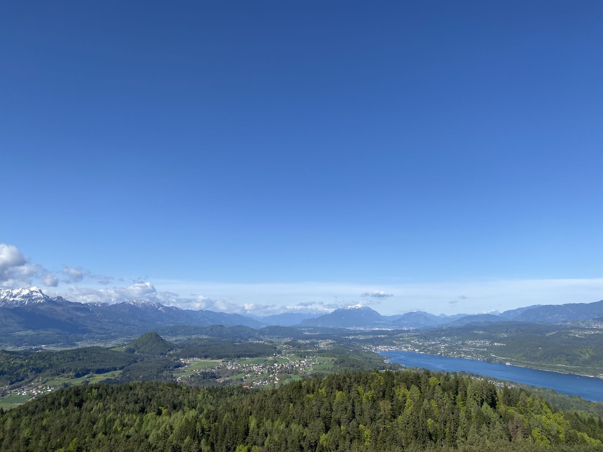
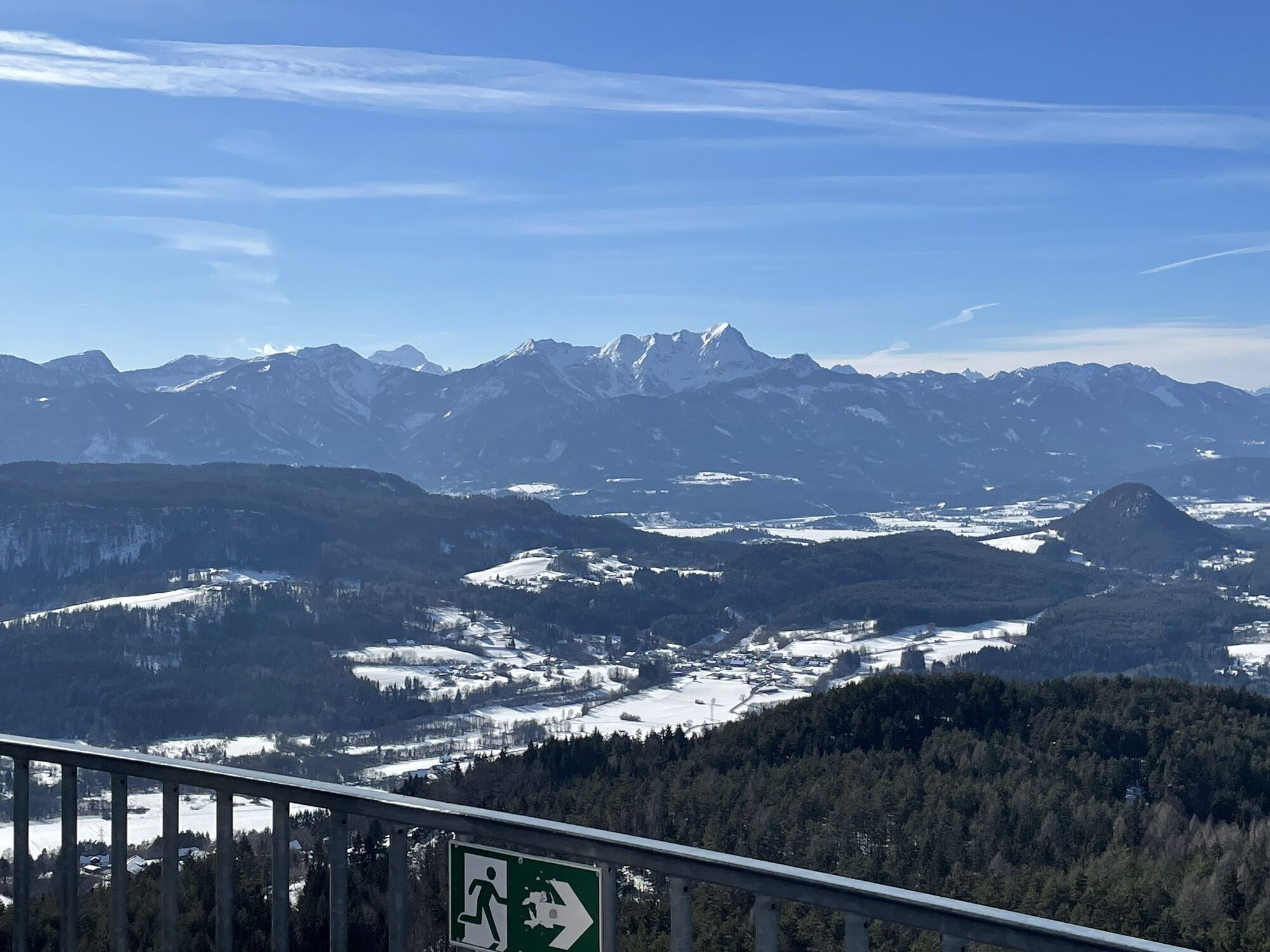
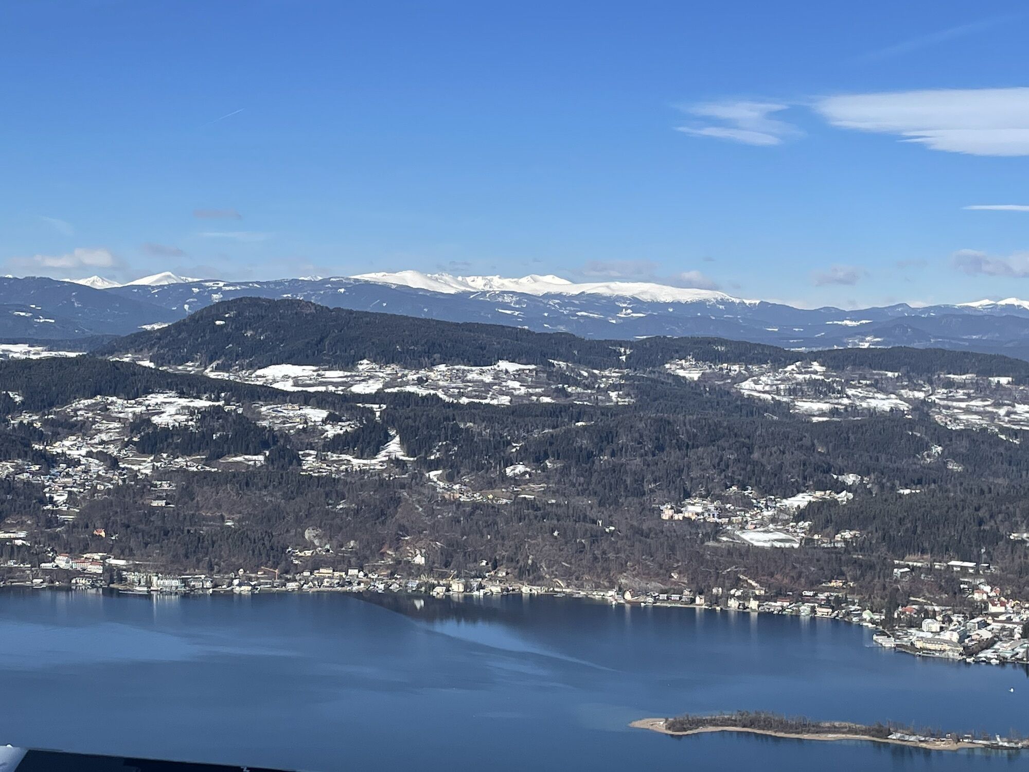
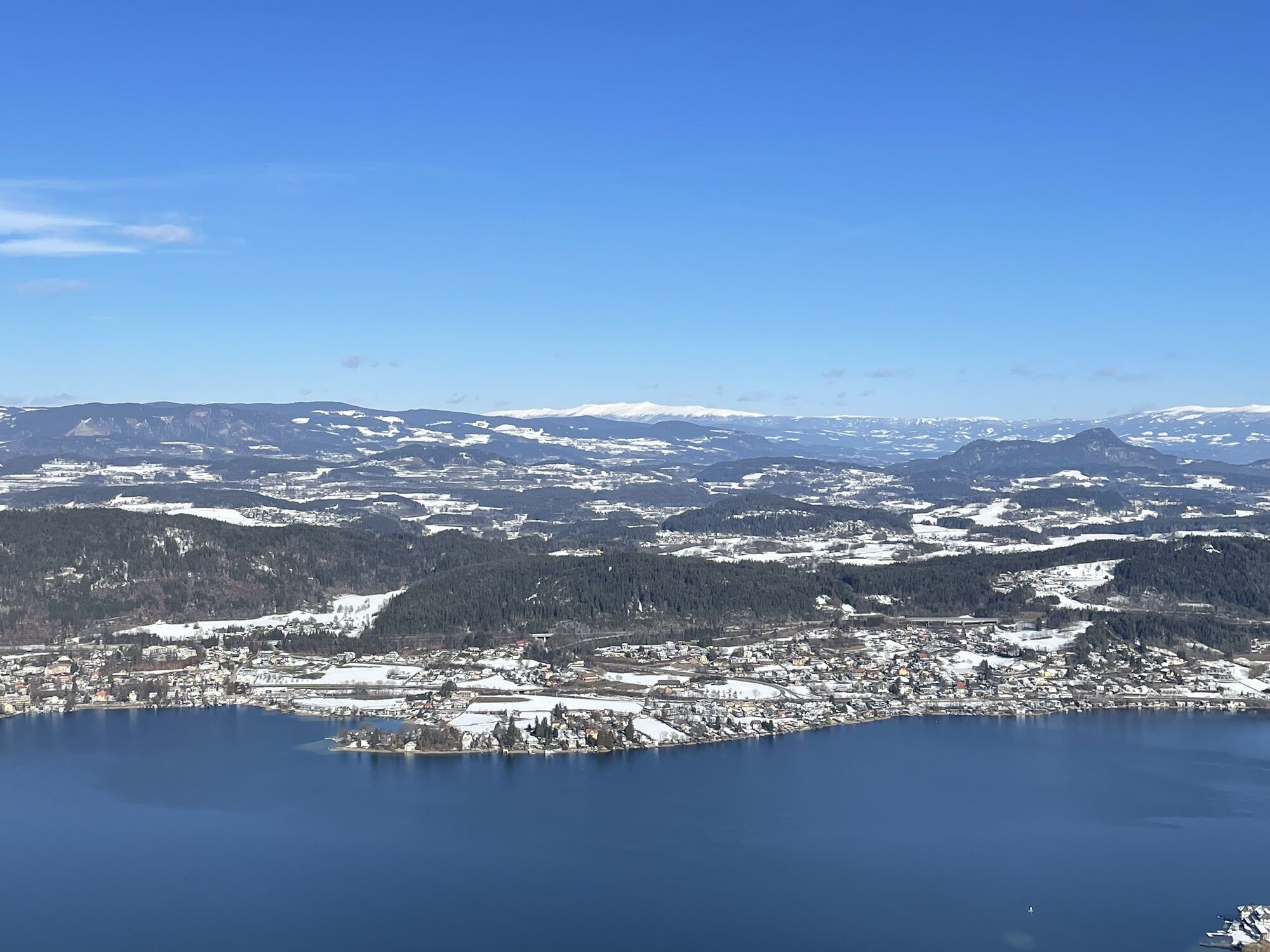
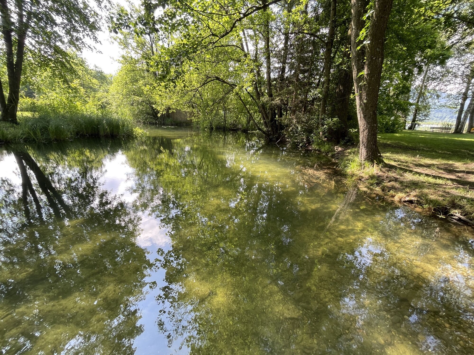
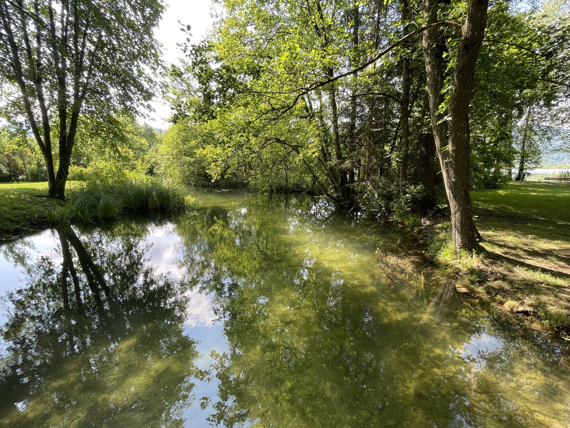
The Pyramidenkogelweg Keutschach offers the best conditions for stress-free movement in a unique natural setting. The loop starts at the panorama board at the municipal office and leads towards Schelesnitz...
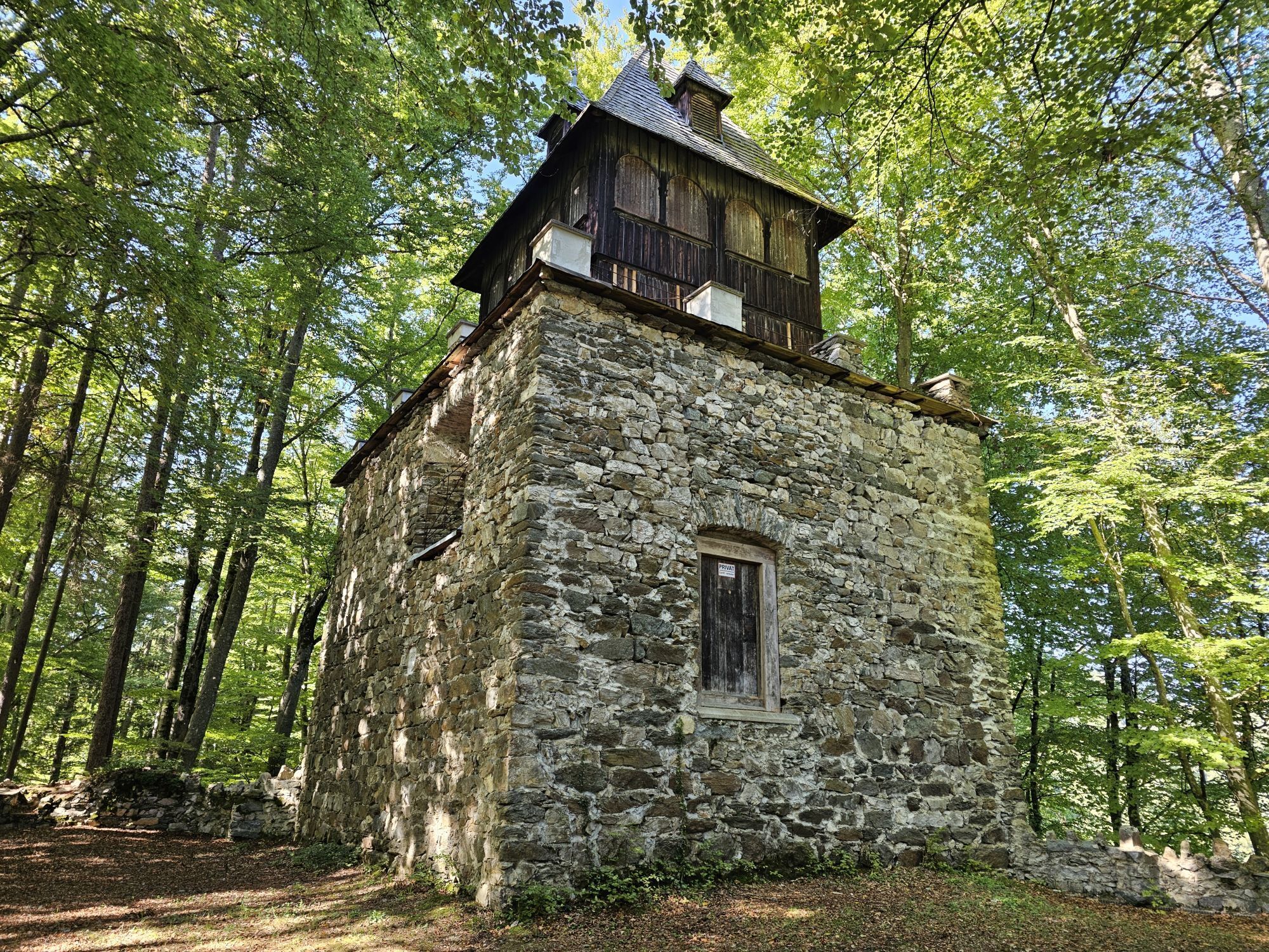
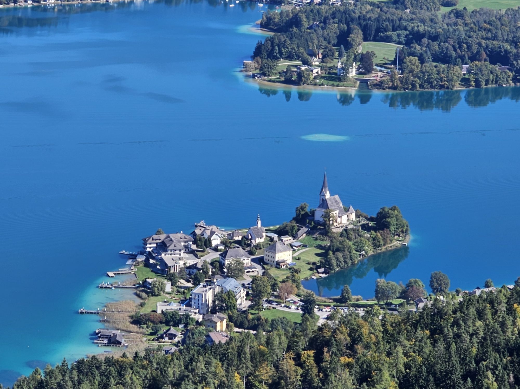
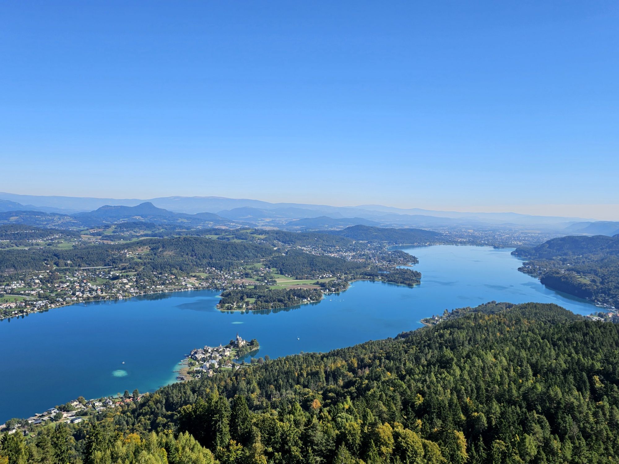
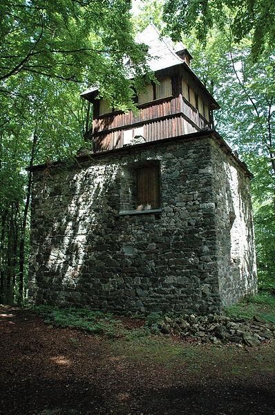
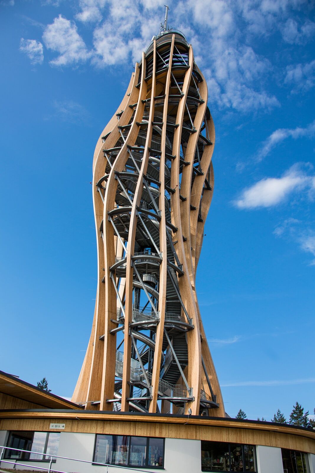
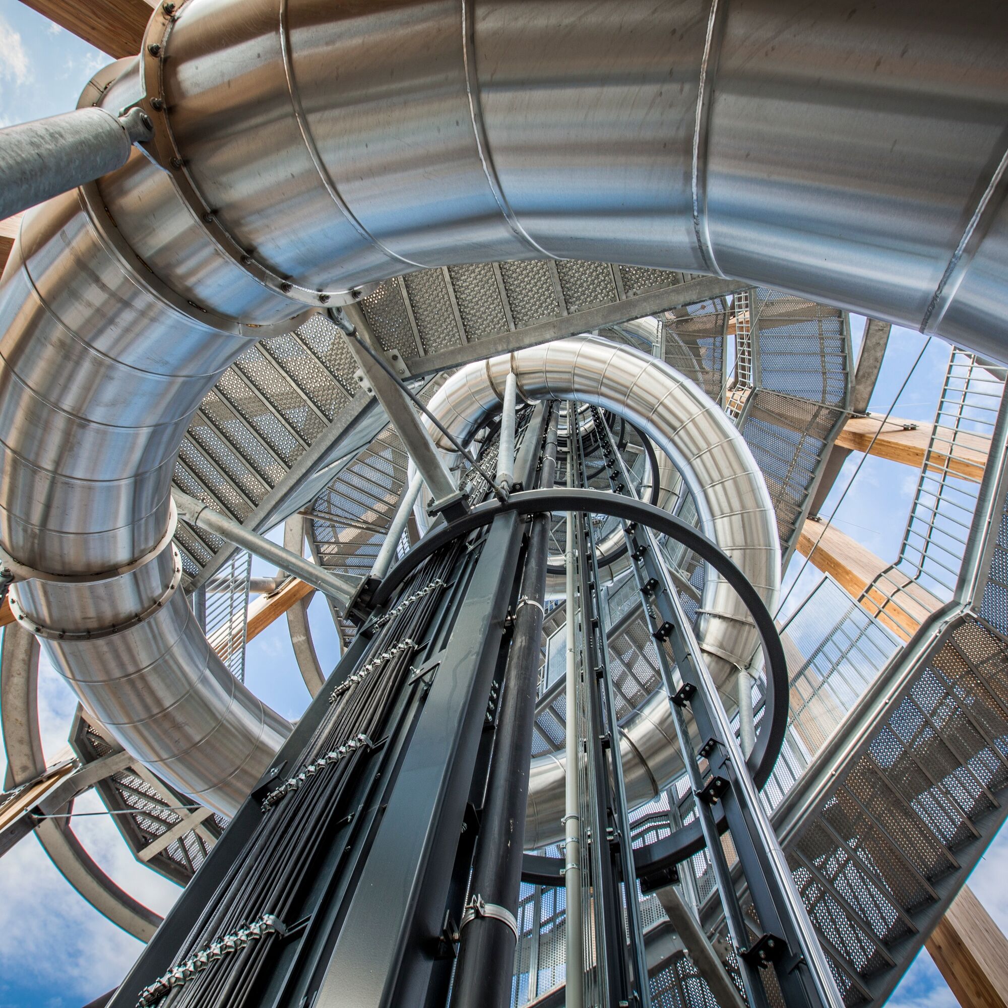
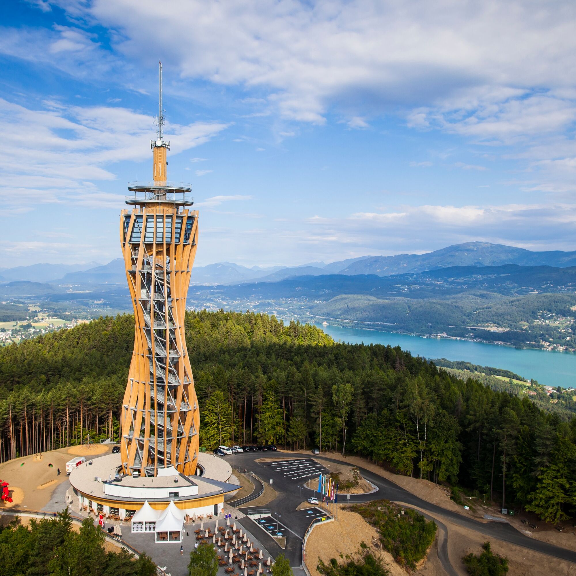
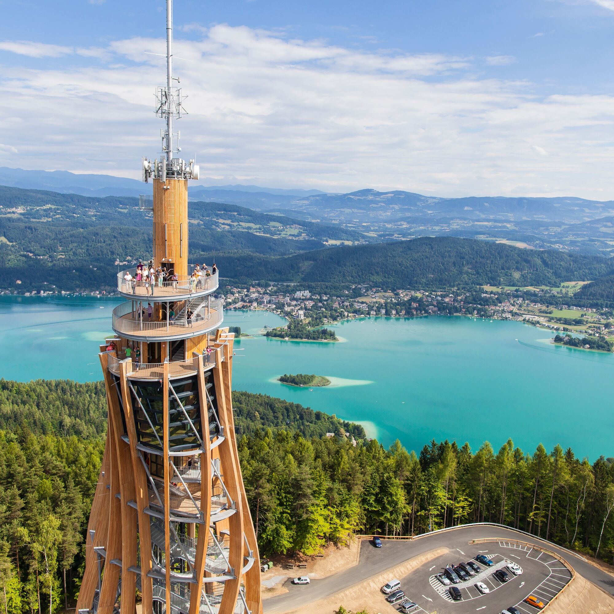
The Pyramidenkogelweg Keutschach offers the best conditions for stress-free movement in a unique natural setting. The loop starts at the panorama board at the municipal office and leads towards Schelesnitz and then to the right, towards St. Margarethen. Through the forest, it goes quite steeply uphill to the Reifnitz castle ruins. The ascent to the observation tower on the Pyramidenkogel is highly recommended and worthwhile. In good weather, you can enjoy a magnificent panoramic view. On mixed terrain, it goes downhill back to Keutschach.
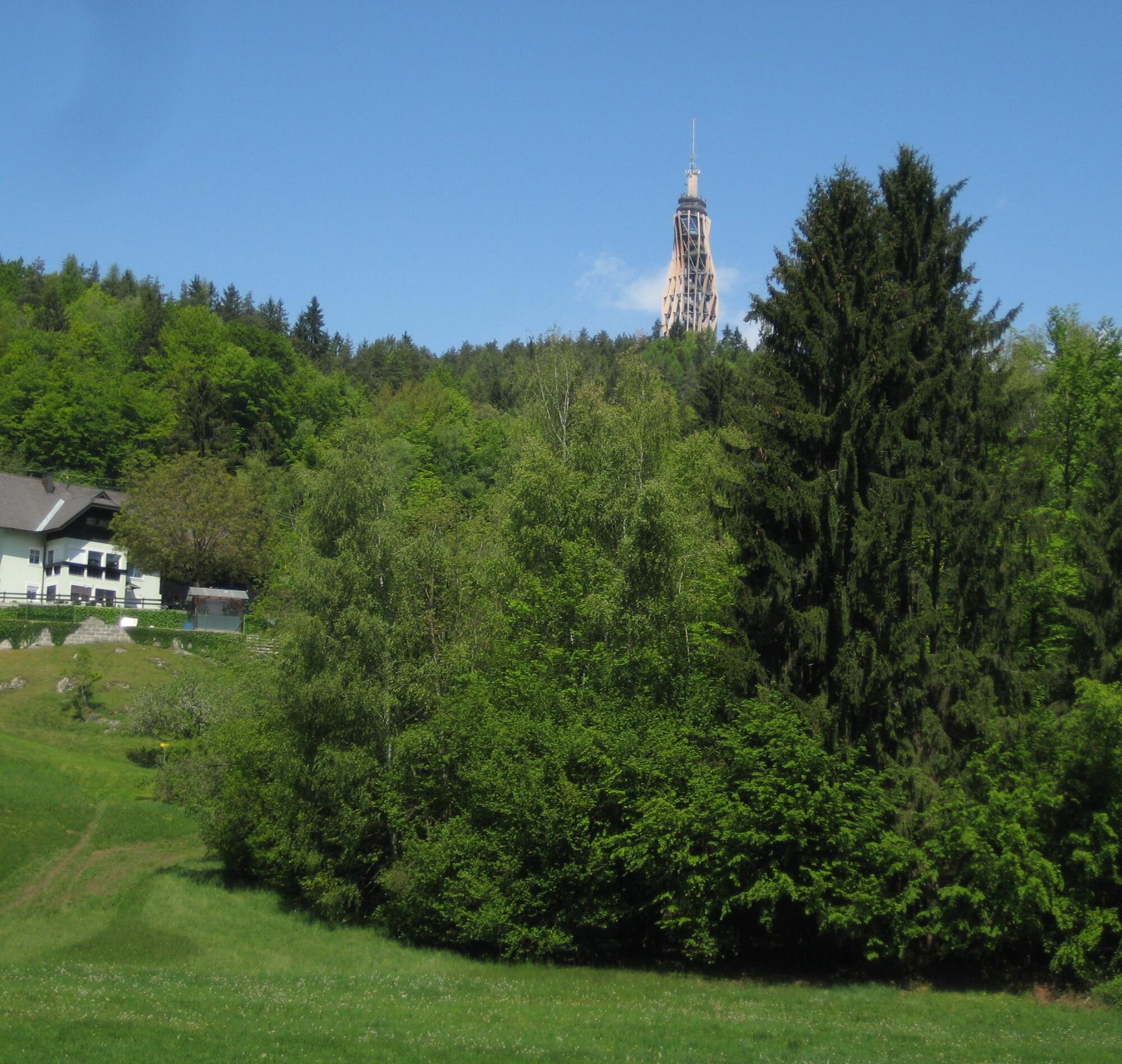


All information about this circular hiking route has been provided by the Austrian Alpine Club Section Long-Distance Walkers.
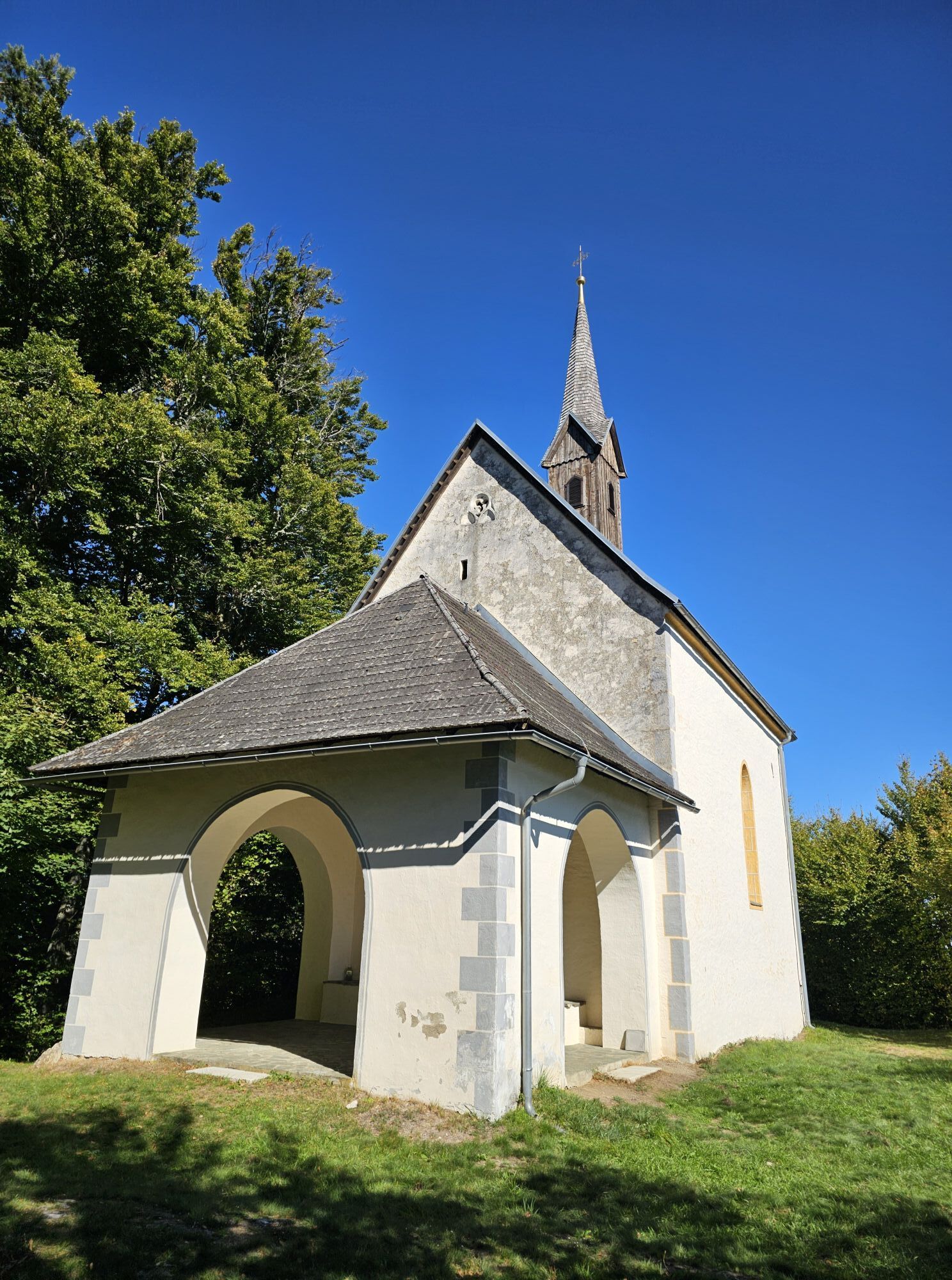
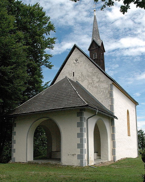
From Plaschischen (accessible from Keutschach via paths 12 and 12A or by road), shortly after the ascent to the Pyramidenkogel, take path 27 to the right towards St Margarethen. In the forest, go left, quite steeply uphill to the first houses of St. Margarethen and further – keeping right – to the namesake church (unfortunately mostly closed). After visiting the church, we must return to our path 27, which leads right downhill to a stream. Immediately after this, turn left uphill through the forest into the village of Linden. Below a wayside shrine (“Petroutz Cross”), the path continues along the edge of the forest and meadow and then turns right uphill in the meadow towards a group of houses. Over wooden and stone steps, a driveway is reached, where you continue briefly left. We then turn immediately right, reach the Buschenschank “Buchsbaum” and left uphill to Pyramidenkogelstraße. On this road, go briefly right and immediately left again into a forest path. A signpost (path 27) then points us uphill to the observation tower on the Pyramidenkogel (ascent very worthwhile – magnificent view in good weather!).
For the continuation, we must return to the point where path 2 branches off to the right, which we now follow. We reach an asphalt driveway, where you go left (path 25) to a hairpin bend of the Pyramidenkogelstraße. Just before this, our path goes downhill right over the meadow. On the following street (Transformer), we turn left.
(To the right is the restaurant Höhenwirt, where path 25 runs down the meadow through the inn's garden. Path 25 meets path 24, turns left – Oberplescherken – and shortly before the junction with path 26 reaches the Keutschach state road. Path 24, however, leads hikers down to the Allesch inn and to Plescherken.)
We continue until shortly after a no-horse-riding sign, where path 26 descends in a curve across the meadow into the forest. At the following houses of the village Höhe, we walk above the Dreschl farm and after the last houses of the village follow the street downhill to the right. (Straight ahead leads to Pyramidenkogelstraße.) Under the high-voltage line, we turn left and descend through the forest on our path (26) to the Pyramidenkogelstraße, where we walk downhill along the forest edge to the Keutschach state road. We turn left onto the accompanying sidewalk and reach Plaschischen in about a quarter of an hour.
Light hiking shoes, rain protection
On L 97 towards Keutschach
Parking lot at the junction to Pyramidenkogel


Webové kamery z prehliadky

Aktivity počas prehliadky
-

Keutschach am See, Kärnten/Österreich
26.09.2026 – Turistika -

Keutschach, Kärnten/Österreich
21.08.2026 – Turistika -

Keutschach, Kärnten/Österreich
21.05.2026 – Turistika -
Keutschach am See, Kärnten/Österreich
01.03.2026 – Turistika -

Keutschach am See, Kärnten/Österreich
30.10.2025 – Turistika -

Keutschach am See, Kärnten/Österreich
24.08.2025 – Turistika -
Keutschach am See, Kärnten/Österreich
12.08.2025 – Turistika -
Keutschach am See, Kärnten/Österreich
12.08.2025 – Turistika
Obľúbené výlety v okolí
-
5,0
Wörthersee EXTREM
ťažkéTuristika 60,1 km -
4,6
Hoher Gallin route
strednáTuristika 7,09 km -
4,5
Pyramidenkogel path Maria Wörth
strednáTuristika 10,8 km -
4,5
Cycling around Lake Wörthersee – leisurely cycling between turquoise blue water and fantastic views
strednáCyklistika 48,2 km -
4,4
Lake Wörthersee Circular Route
strednáCyklistika 41,2 km -
4,7
Zillhöhe
strednáBeh 7,94 km -
4,6
Sinacher Gupf crossing
strednáTuristika 8,32 km -
4,6
Pyramidenkogelweg Schiefling
strednáTuristika 8,41 km -
4,9
Gratschenitzen Kreuz
ťažkéVysoké turné 3 km -
4,1
Slow Trail Bleistätter Moor (Variant A)
svetloTuristika 7,22 km

Turistika a stopovanie


Nenechajte si ujsť ponuky a inšpiráciu na ďalšiu dovolenku
Vaša e-mailová adresa bol pridaný do poštového zoznamu.





