






The Topitza
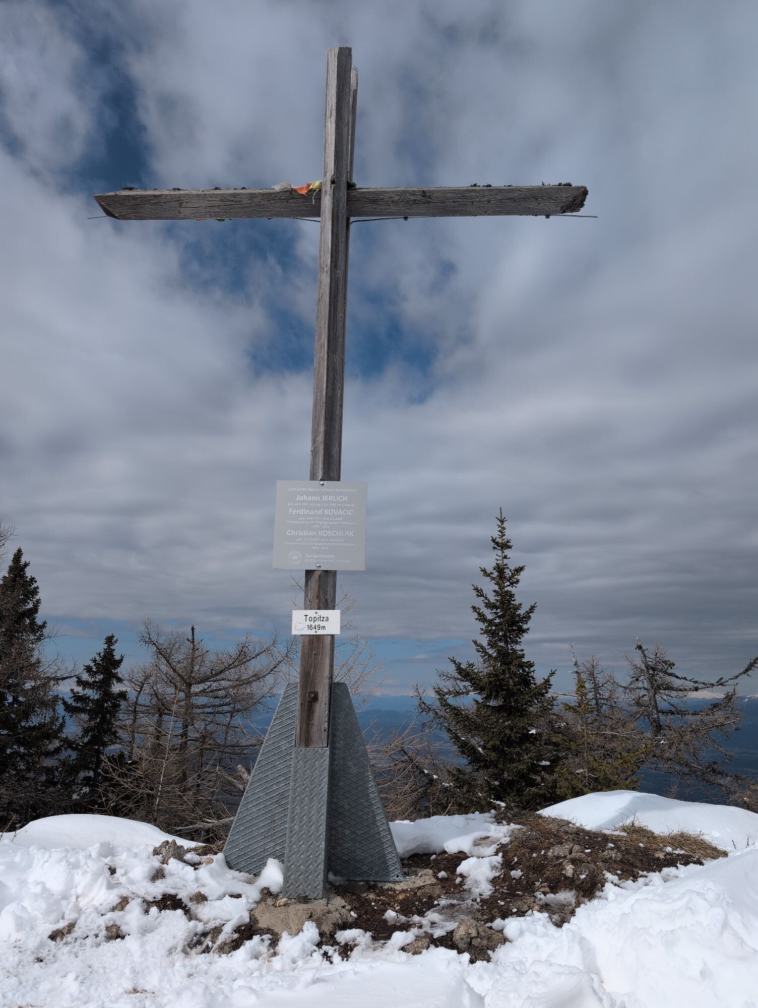
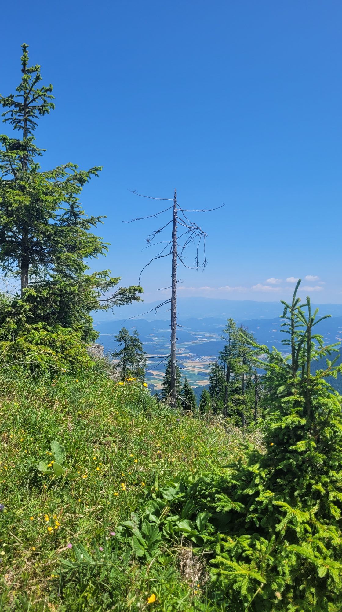
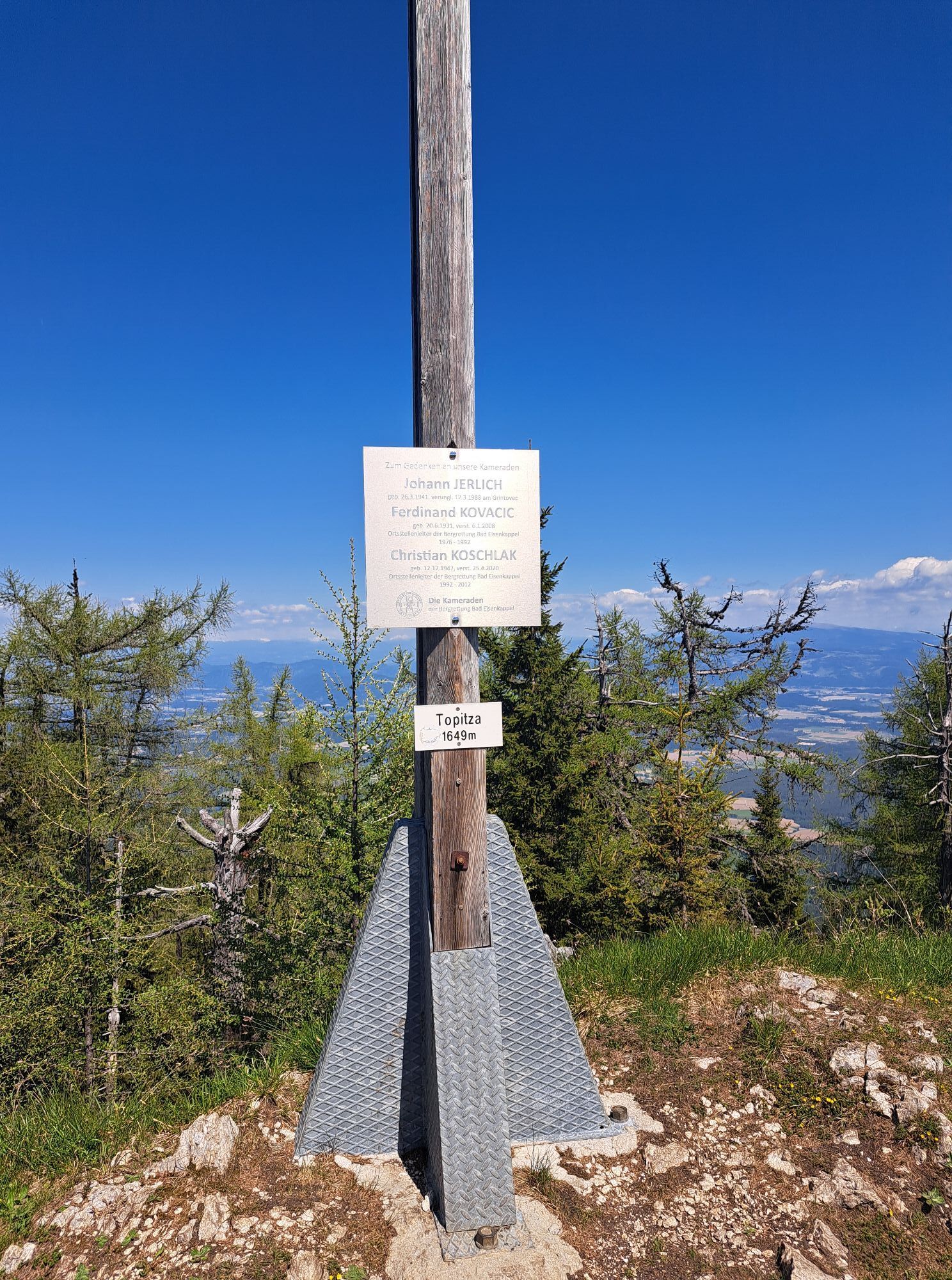
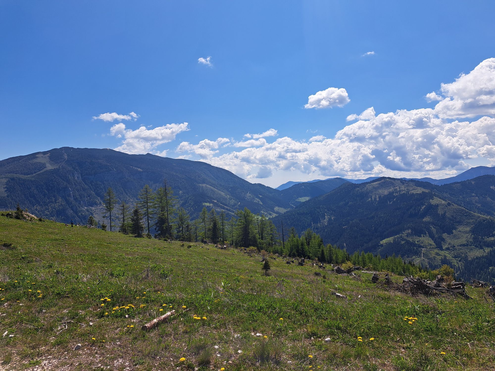
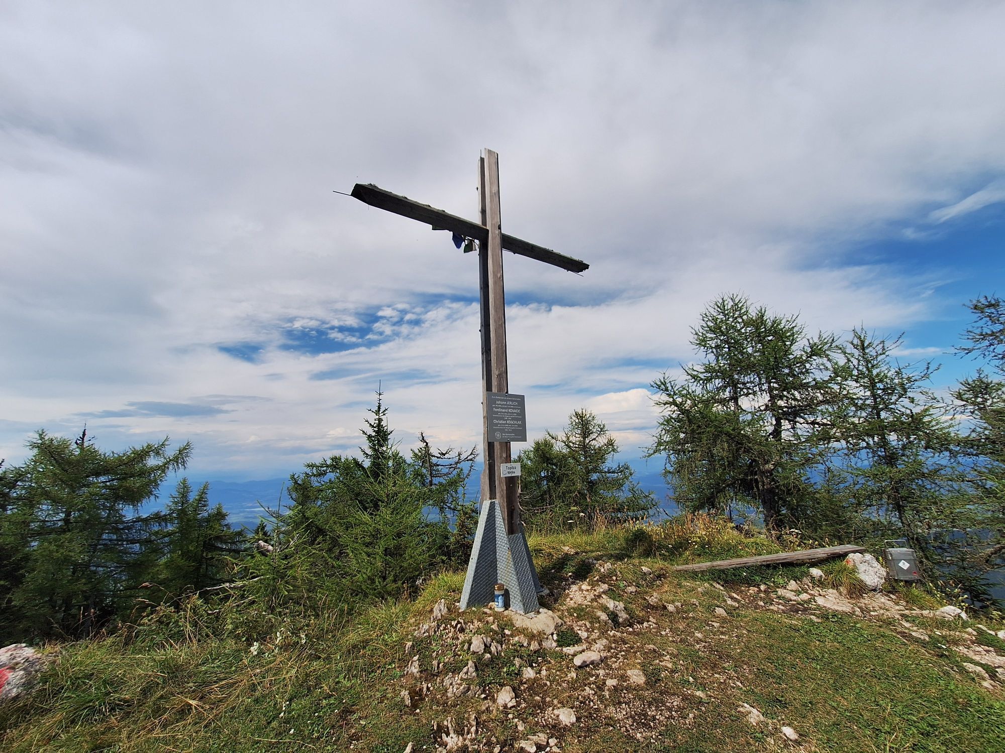
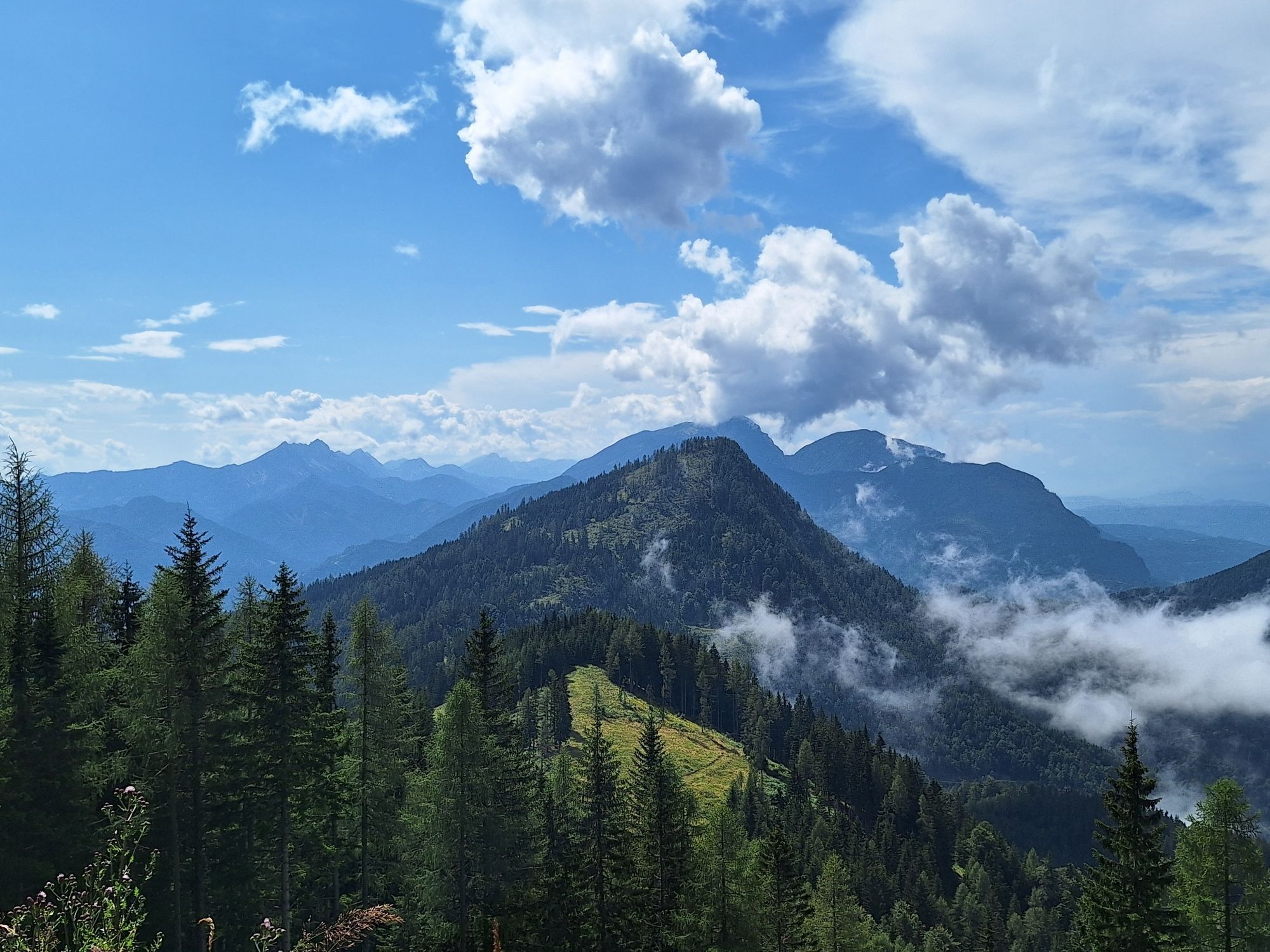
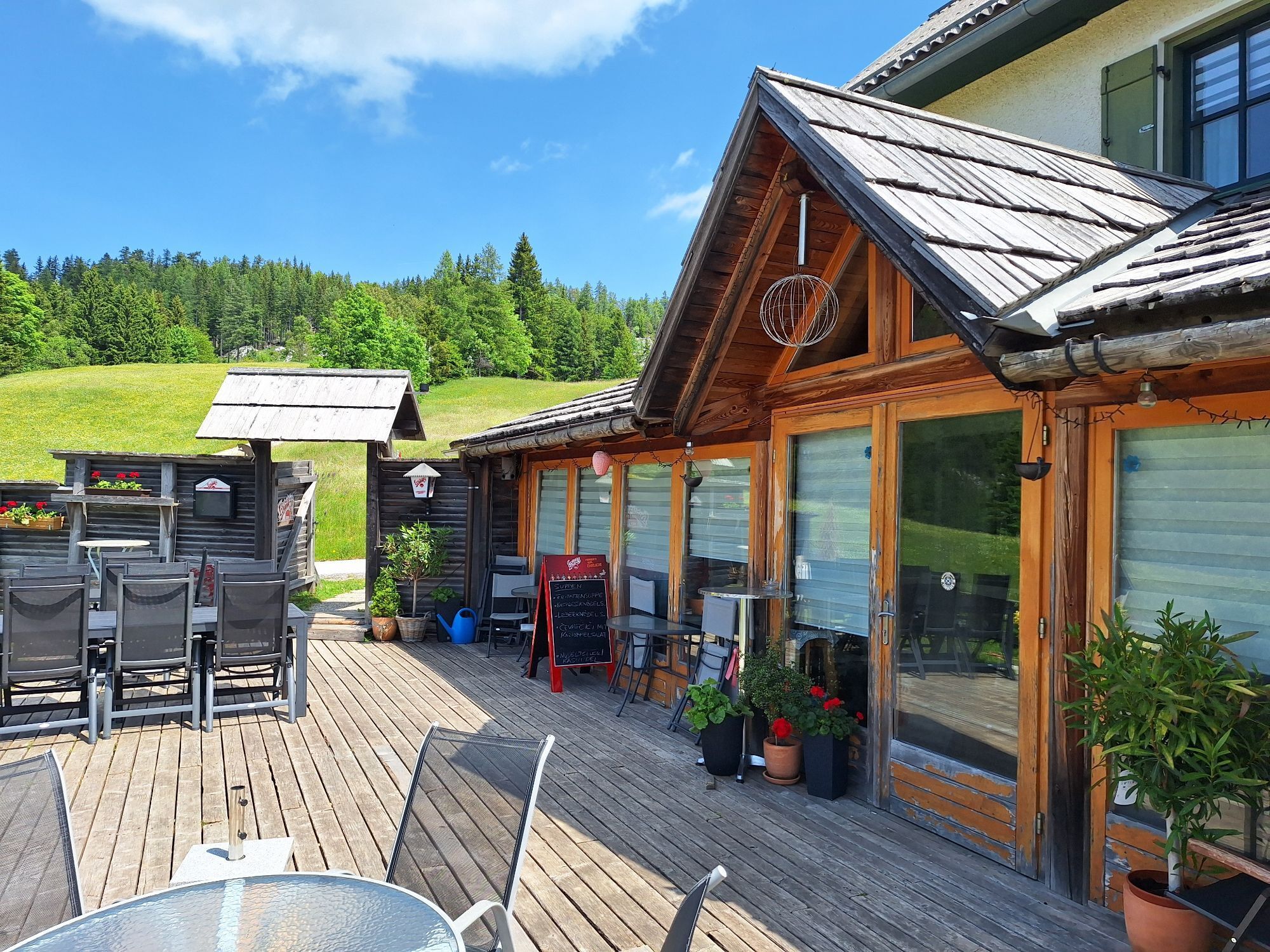
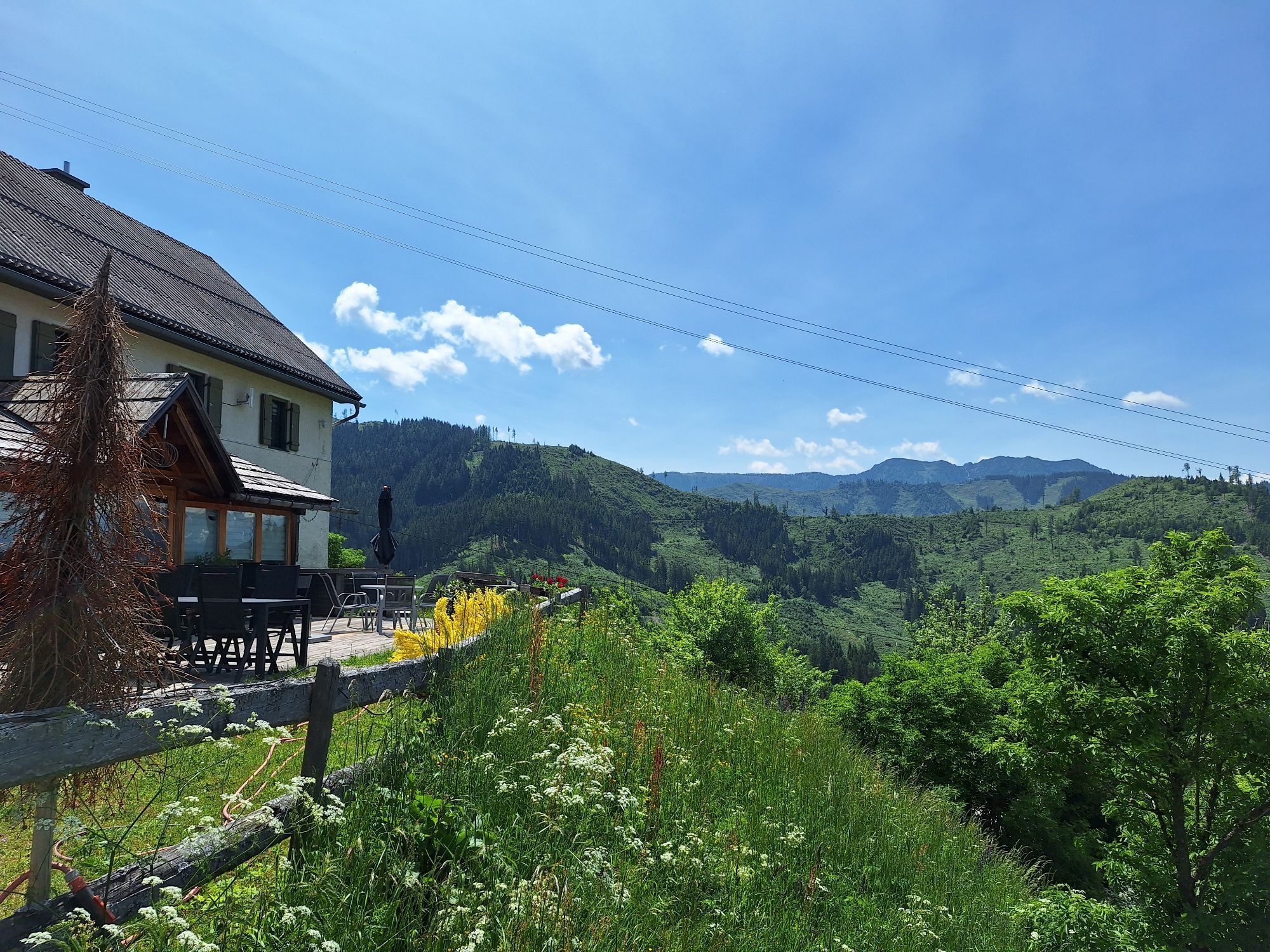
The Topitza at 1649 m is slightly higher than the neighboring mountain, the Oistra.
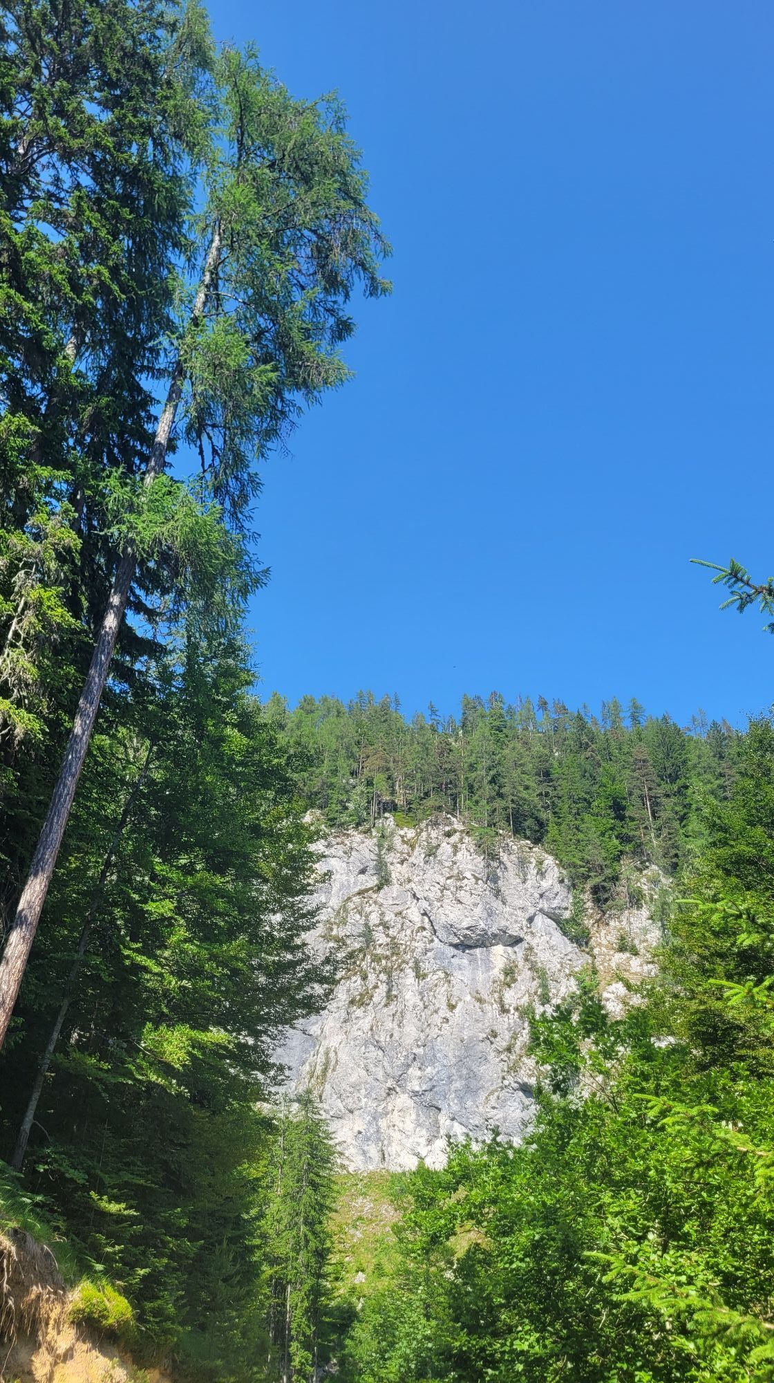
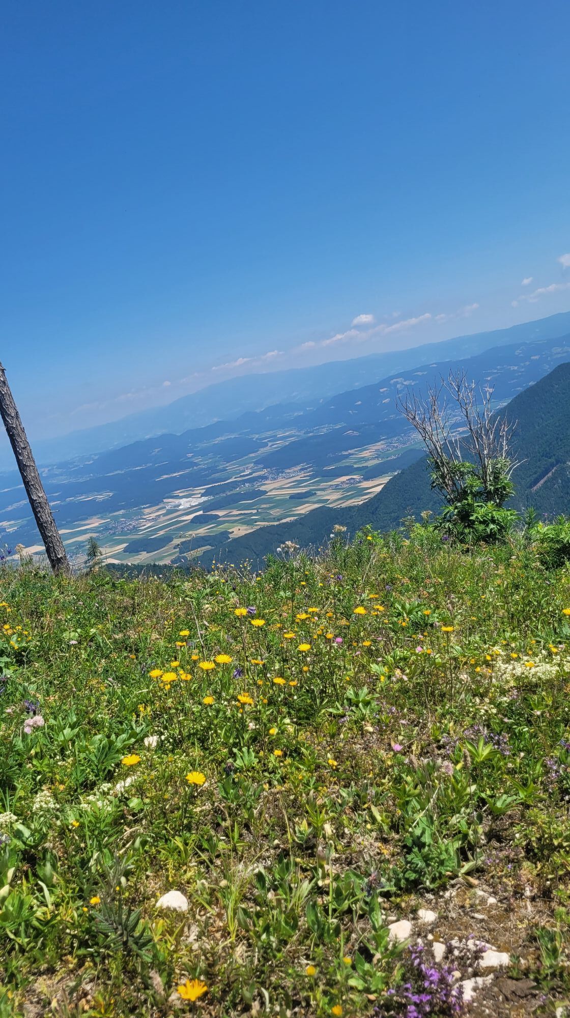
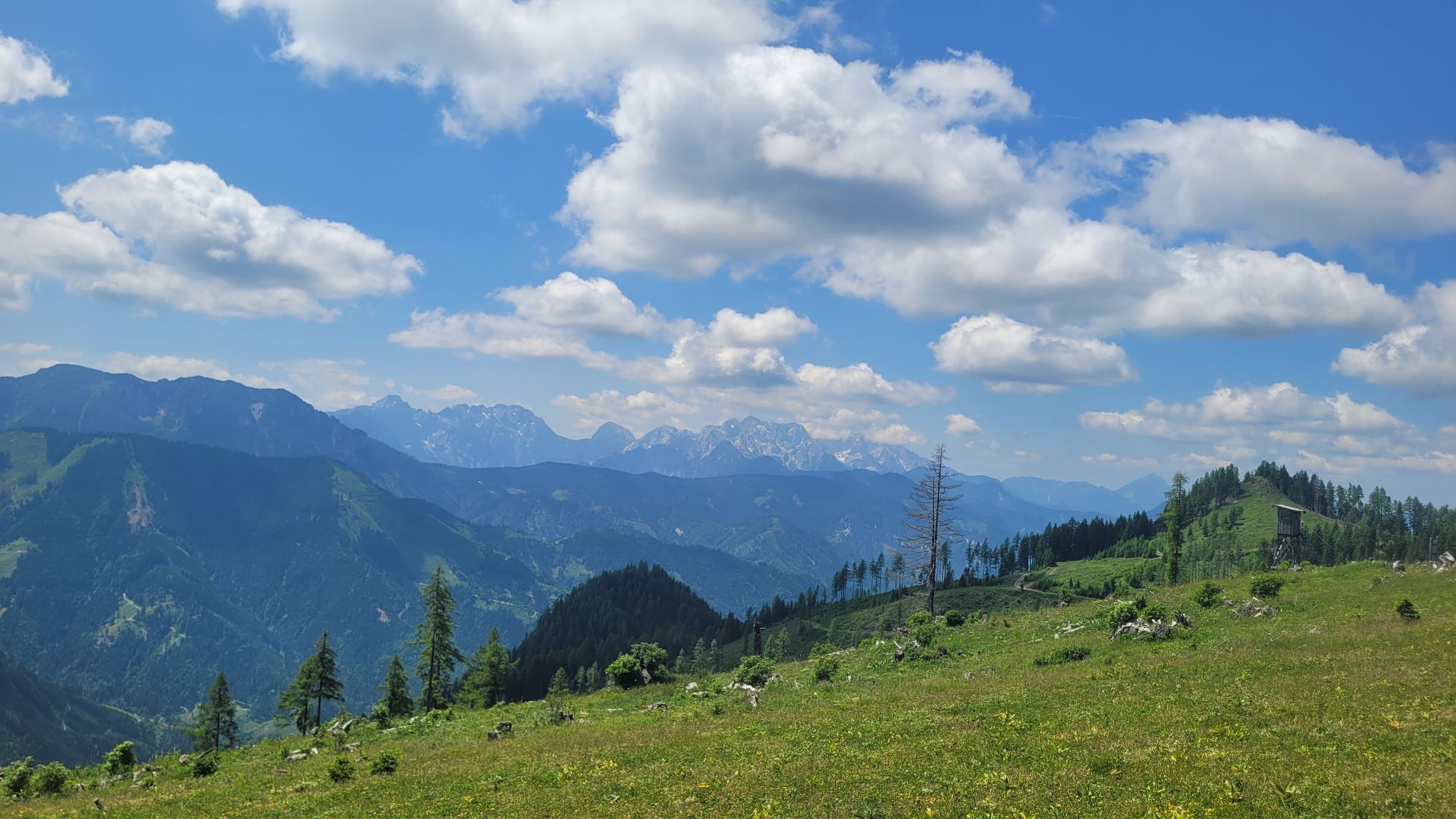
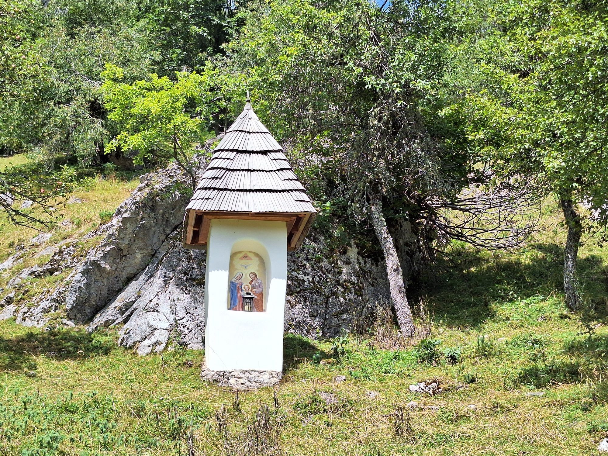
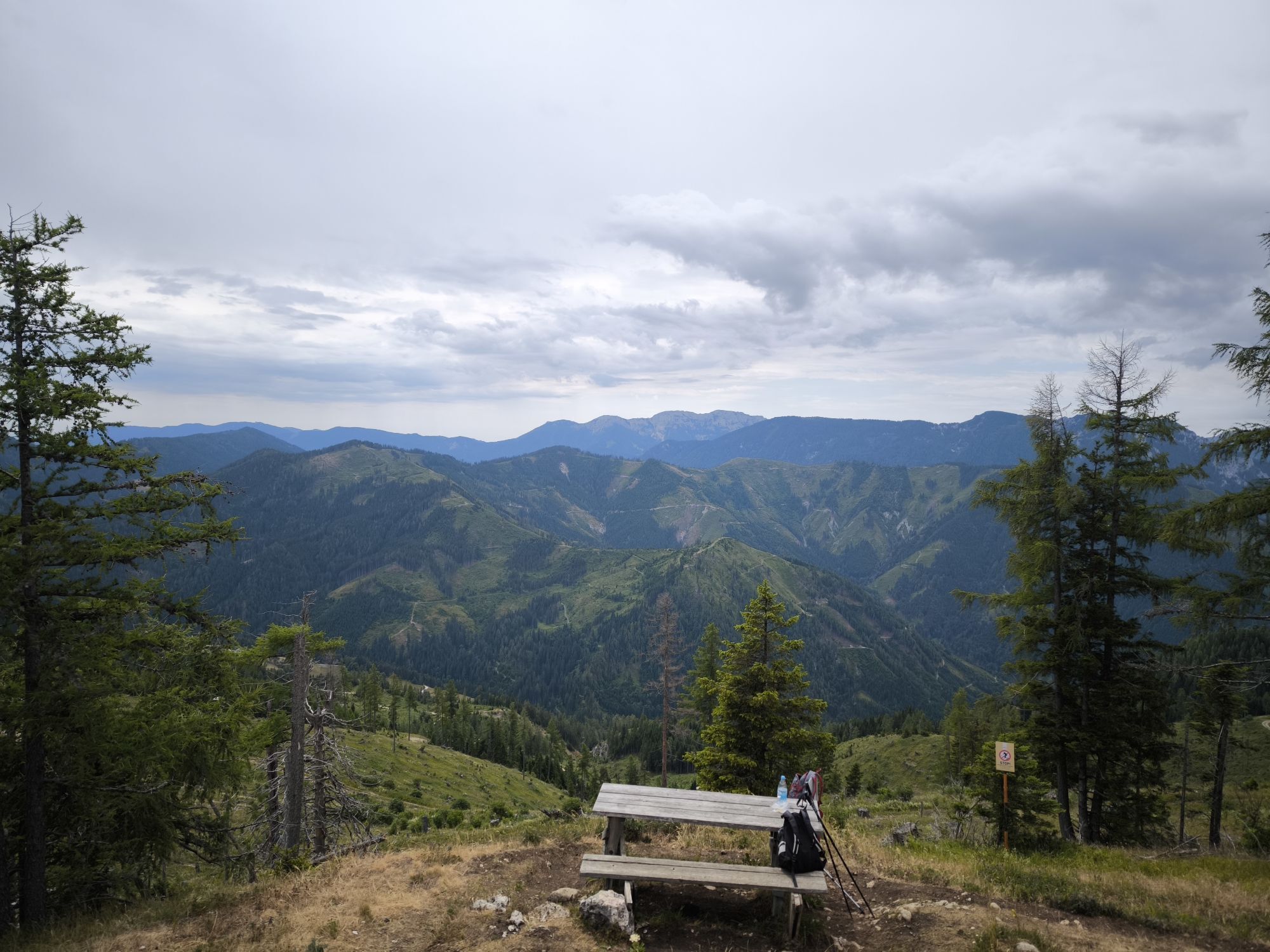
Along the ascent to the summit you repeatedly have beautiful views. Past the rockfall of the “Red Wall” and the beautiful...
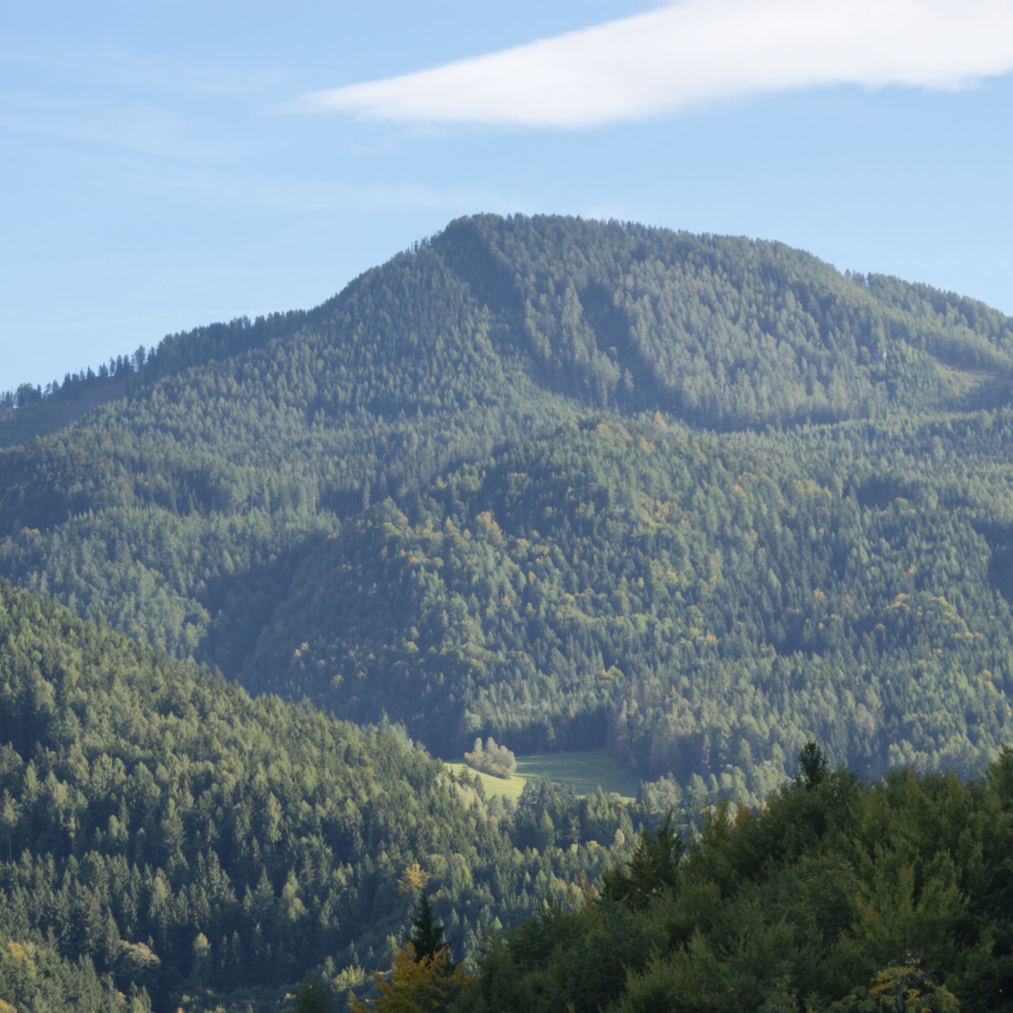
The Topitza at 1649 m is slightly higher than the neighboring mountain, the Oistra.
Along the ascent to the summit you repeatedly have beautiful views. Past the rockfall of the “Red Wall” and the beautiful weather trees. Two hiking routes also lead to this mountain – either from the Luschaalm or from Hochtal-Lobnig from the Wögl farm.


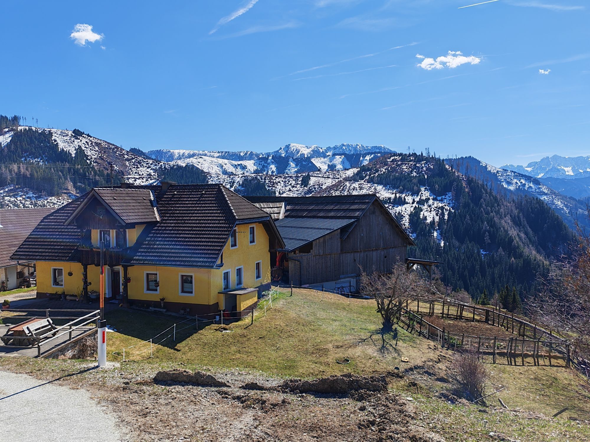
This path is marked from the Riepl farm to the summit of the Topitza and downhill to the Ojstra junction above the Wögl farm. The starting point would therefore be the Riepl farm on the Luscha. From here, the marked hiking path initially leads over the forest road, then through the forest to the summit of the Topitza. Going further downhill, you reach the Wögel farm and meet the Southern Alps long-distance hiking trail no. 603. This path leads uphill again past the Topitshcnik and Peternel farms back to the starting point Riepl on the Luscha.
Hiking equipment
Water bottle
Take sun and rain protection
By car from Bad Eisenkappel on Luschastraße towards Luschaalm.
At the parking lot at the Riepl farm.
A guided hike can be booked at the Bad Eisenkappel tourist information office

 Získajte prehľad
Vždy naživo na mieste s viac ako 9 500 webovými kamerami. bergfex Ako používateľ Pro si teraz môžete pozrieť príslušné webové kamery pre mnohé zájazdy v aplikácii zájazdy z. Môžete si tak priamo prezerať aktuálne podmienky.
Získajte prehľad
Vždy naživo na mieste s viac ako 9 500 webovými kamerami. bergfex Ako používateľ Pro si teraz môžete pozrieť príslušné webové kamery pre mnohé zájazdy v aplikácii zájazdy z. Môžete si tak priamo prezerať aktuálne podmienky.
Obľúbené výlety v okolí
-
4,8
Bad Eisenkappel: Hochobir
Turistika 5,50 km -
4,5
Slow Trail Kitzelberg, Klopeiner See
strednáTuristika 6,82 km -
4,9
Eisenkappler Hütte - Hochobir
strednáTuristika 8,86 km -
4,2
Klopeiner See route: "Promenade round"
svetloTuristika 5,27 km -
4,9
Koschlak Klettersteig BC, D
strednáVia ferrata 2,60 km -
4,5
Vom Seebergsattel auf den Kärntner Storschitz (Rundweg)
ťažkéTuristika 8,30 km -
4,3
Rundweg Schaidasattel - Hochobir
strednáTuristika 16,0 km -
3,6
Upper Petzen circular route
strednáTuristika 7,30 km -
4,2
6-lake cycle tour in southern Carinthia
strednáCyklistika 53,8 km -
4,1
Krainersteig - Carinthian Storschitz
strednáTuristika 2,70 km
Turistika a stopovanie


Nenechajte si ujsť ponuky a inšpiráciu na ďalšiu dovolenku
Vaša e-mailová adresa bol pridaný do poštového zoznamu.





