


Panorama trail Schwarzsee - Palnock


Fotografie našich používateľov
-

 © Patrick FresenbergerVytvorené dňa 16.11.2023
 -
 © Patrick FresenbergerVytvorené dňa 16.11.2023
 -
 © Patrick FresenbergerVytvorené dňa 16.11.2023
 -
 © Hermann OberbergerVytvorené dňa 31.10.2025
 -
 © Hermann OberbergerVytvorené dňa 31.10.2025
 -
 © Hermann OberbergerVytvorené dňa 31.10.2025
 -
 © Christa GrailachVytvorené dňa 11.10.2025
 -
 © Christa GrailachVytvorené dňa 11.10.2025
 -
 © Christa GrailachVytvorené dňa 11.10.2025
 -
 © Christa GrailachVytvorené dňa 11.10.2025
 -
 © Christa GrailachVytvorené dňa 11.10.2025
 -
 © Christa GrailachVytvorené dňa 11.10.2025
 -
 © Christa GrailachVytvorené dňa 11.10.2025
 -
 © Christa GrailachVytvorené dňa 11.10.2025
 -
 © Peter OrascheVytvorené dňa 15.09.2025
 -
 © Peter OrascheVytvorené dňa 15.09.2025
 -
 © Peter OrascheVytvorené dňa 15.09.2025
 -
 © Peter OrascheVytvorené dňa 15.09.2025
 -
 © Peter OrascheVytvorené dňa 15.09.2025
 -
 © Peter OrascheVytvorené dňa 15.09.2025
 -
 © Peter OrascheVytvorené dňa 15.09.2025
 -
 © Peter OrascheVytvorené dňa 15.09.2025
 -
 © Peter OrascheVytvorené dňa 15.09.2025
 -
 © Janko ProehlVytvorené dňa 25.07.2025
 -
 © Janko ProehlVytvorené dňa 25.07.2025
 -
 © Janko ProehlVytvorené dňa 25.07.2025
 -
 © Janko ProehlVytvorené dňa 25.07.2025
 -
 © Janko ProehlVytvorené dňa 25.07.2025
 -

 © Daniela König 1Vytvorené dňa 01.12.2024
 -
 © Daniela König 1Vytvorené dňa 01.12.2024
 -
 © Daniela König 1Vytvorené dňa 01.12.2024
 -
 © Daniela König 1Vytvorené dňa 01.12.2024
 -
 © Daniela König 1Vytvorené dňa 01.12.2024
 -
 © Daniela König 1Vytvorené dňa 01.12.2024
 -
 © Daniela König 1Vytvorené dňa 01.12.2024
 -
 © Daniela König 1Vytvorené dňa 01.12.2024
 -
 © Dagmar HoferVytvorené dňa 03.06.2024
 -
 © Dagmar HoferVytvorené dňa 03.06.2024
 -
 © Dagmar HoferVytvorené dňa 03.06.2024
 -
 © Dagmar HoferVytvorené dňa 03.06.2024
 -
 © Dagmar HoferVytvorené dňa 03.06.2024
 -
 © Dagmar HoferVytvorené dňa 03.06.2024
 -
 © Dagmar HoferVytvorené dňa 03.06.2024
 -
 © Dagmar HoferVytvorené dňa 03.06.2024
 -
 © Dagmar HoferVytvorené dňa 02.04.2024
 -
 © Dagmar HoferVytvorené dňa 02.04.2024
 -
 © Dagmar HoferVytvorené dňa 02.04.2024
 -
 © Klaus schellenbergVytvorené dňa 11.08.2024


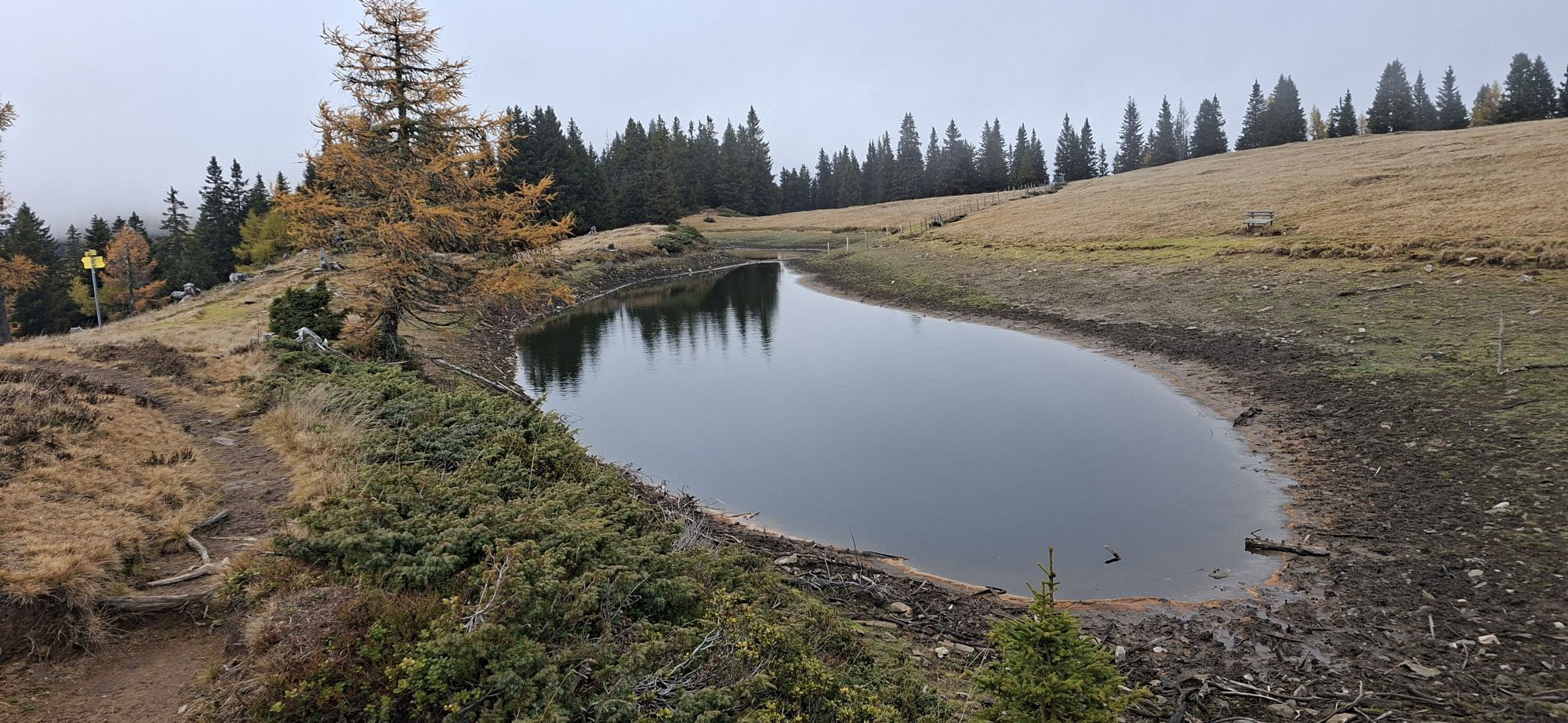

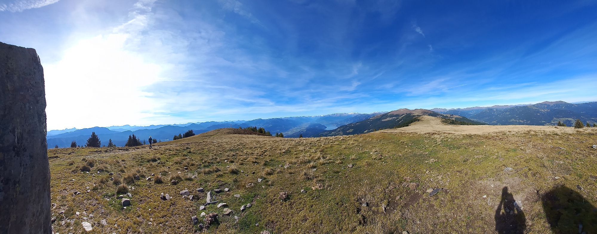
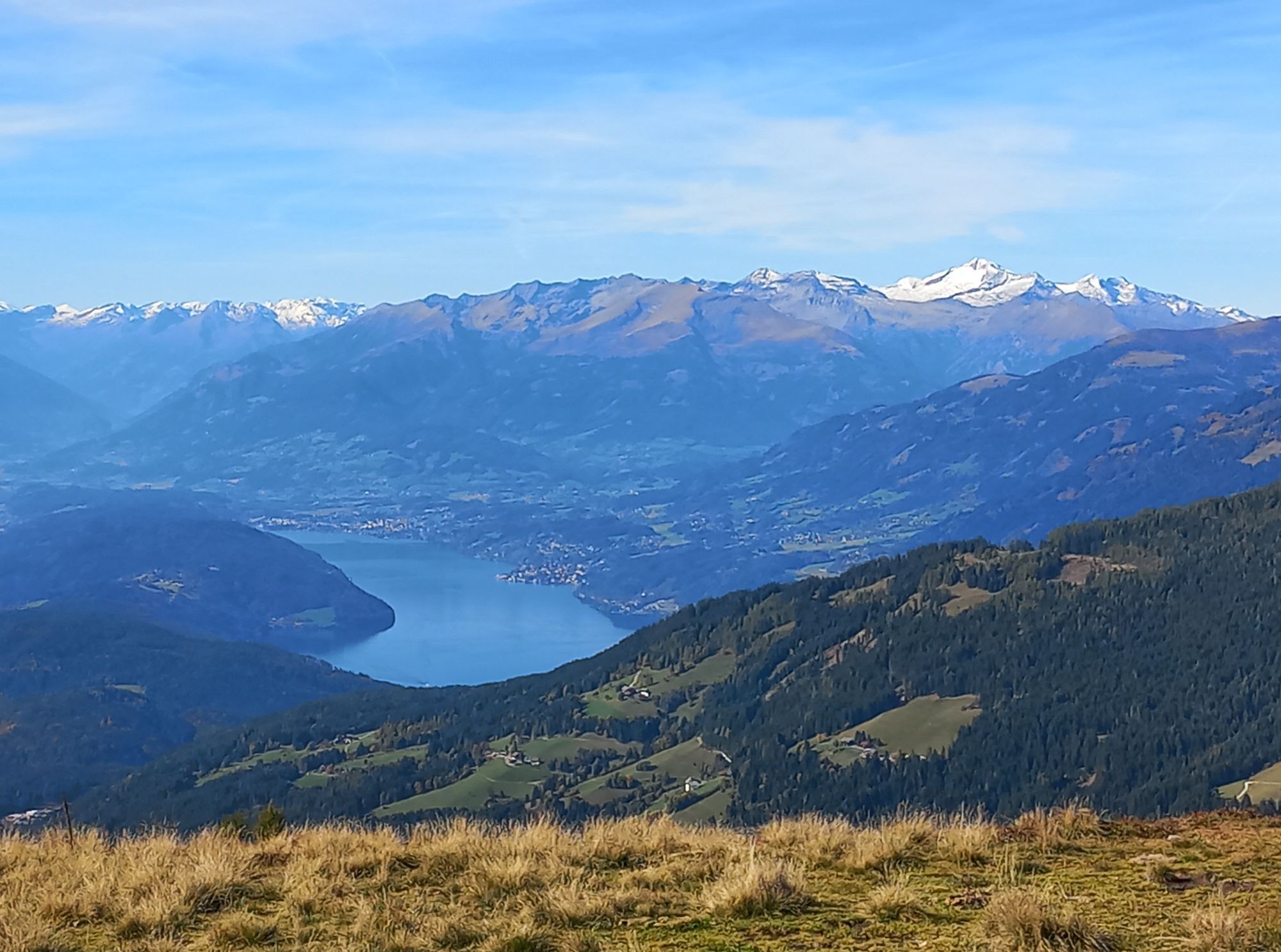
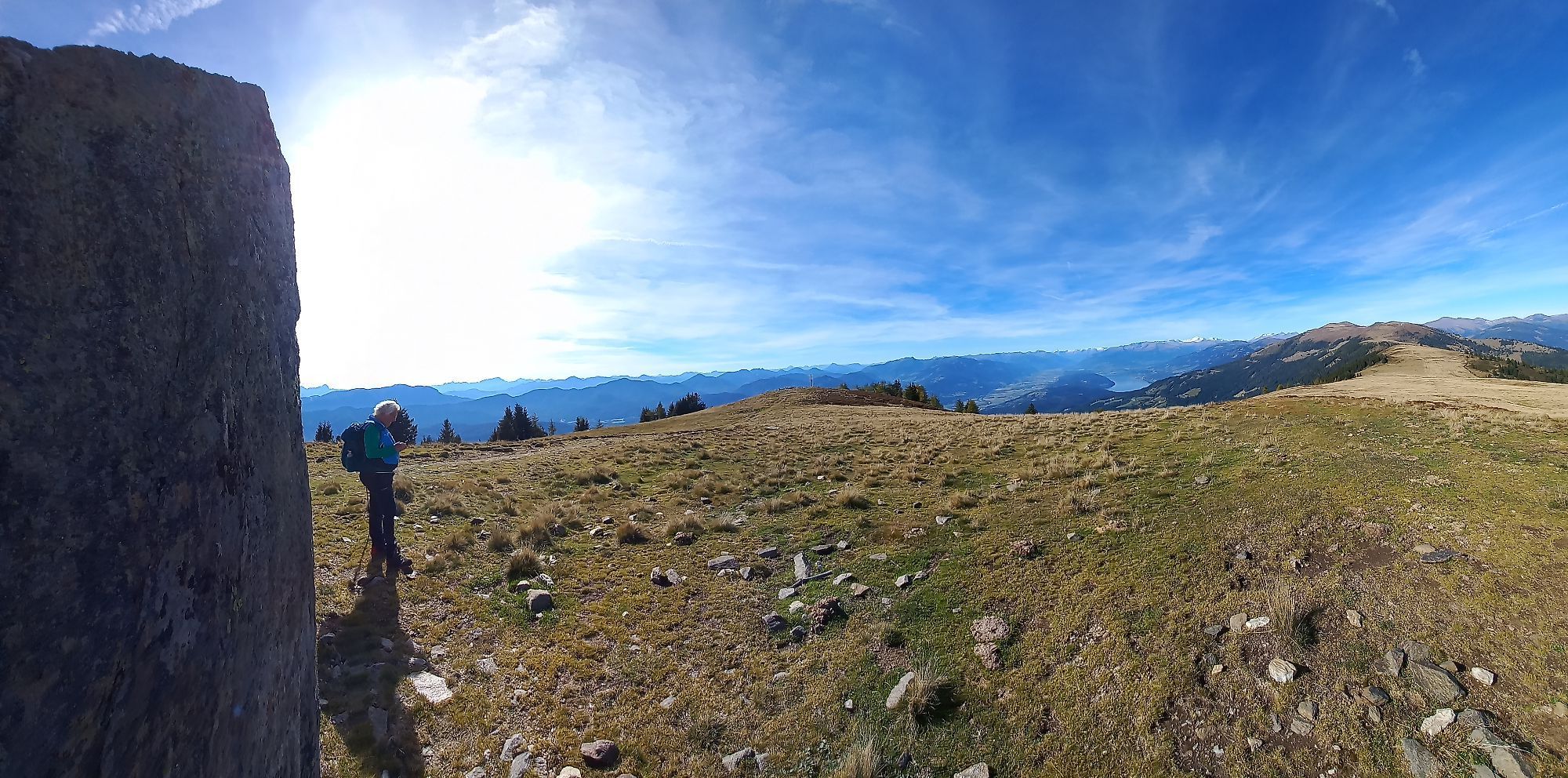
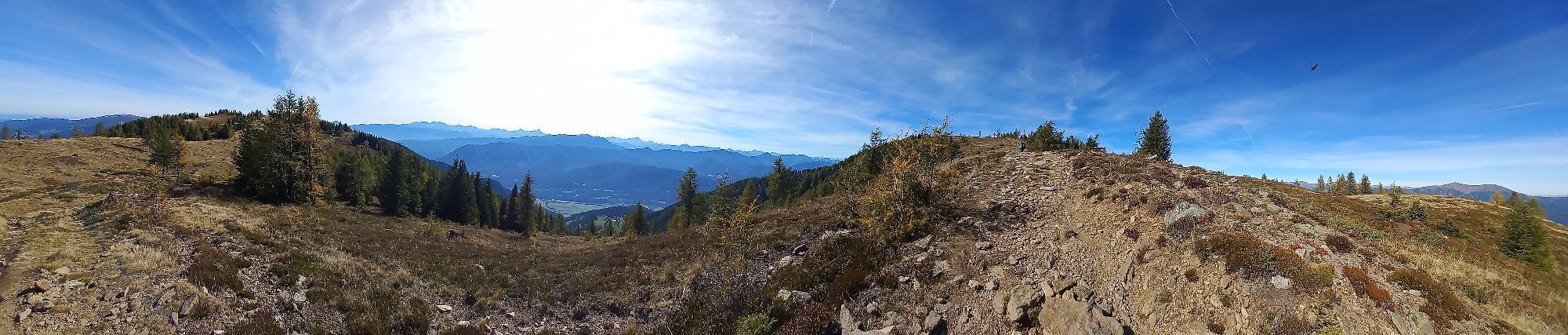

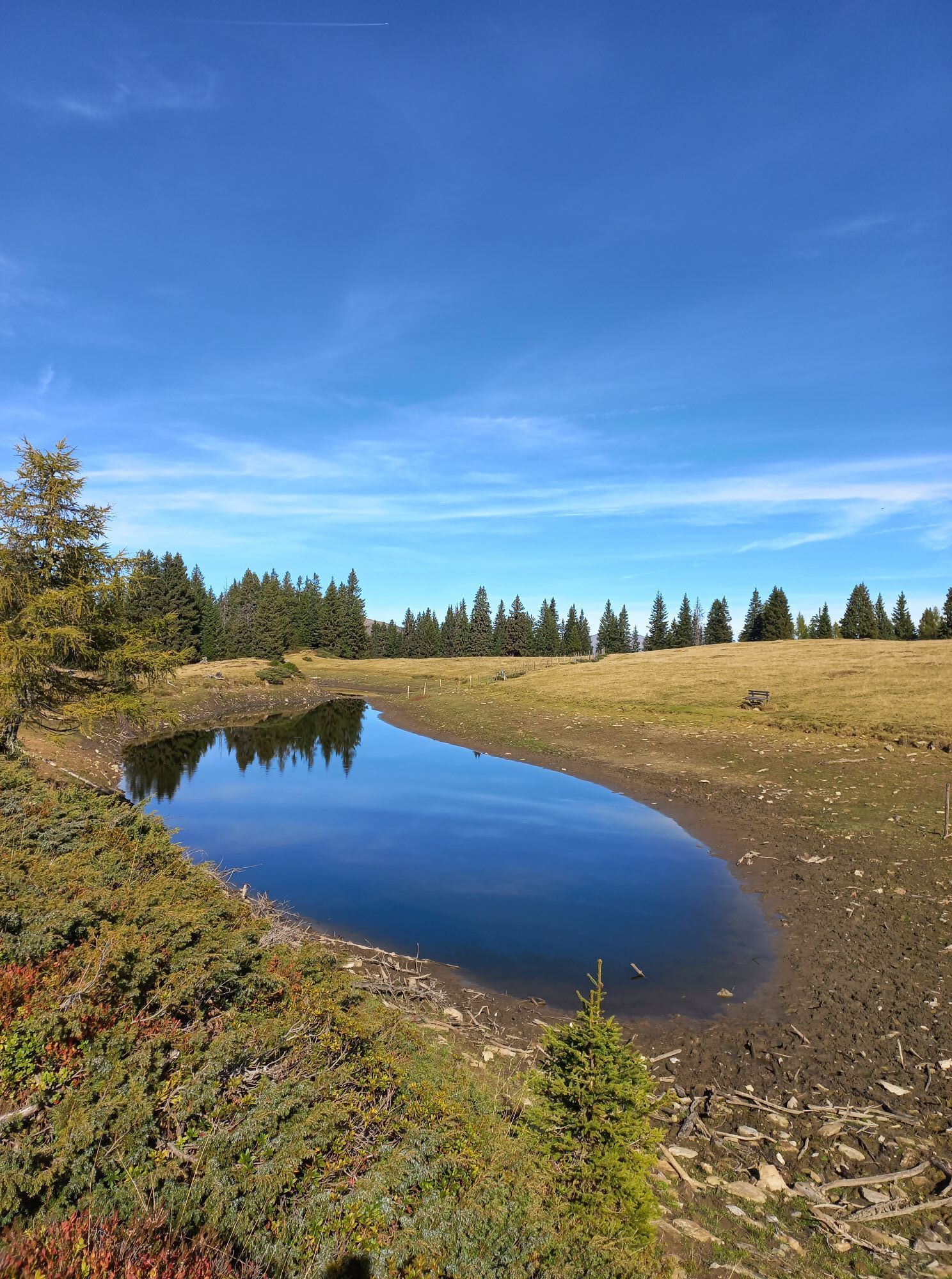
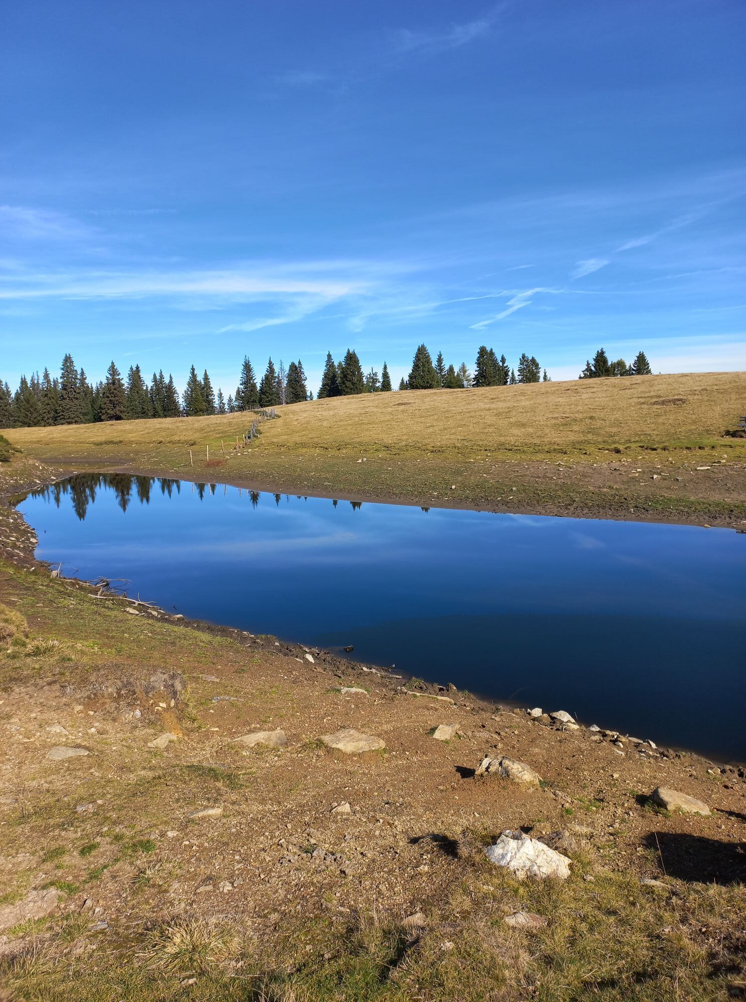


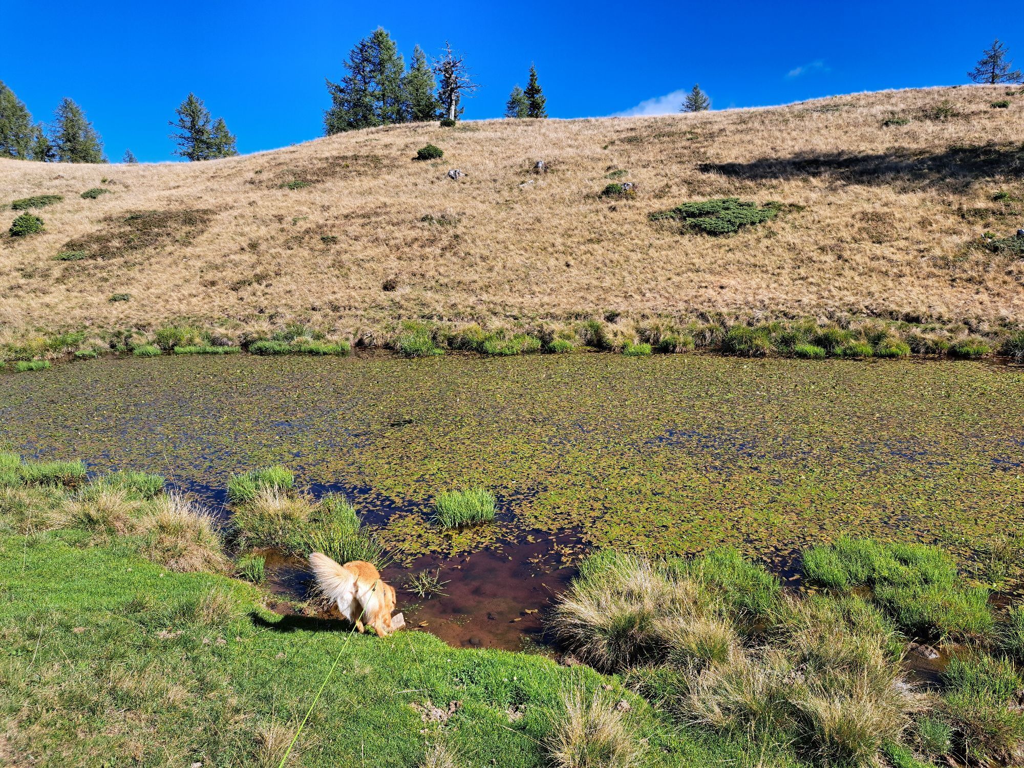


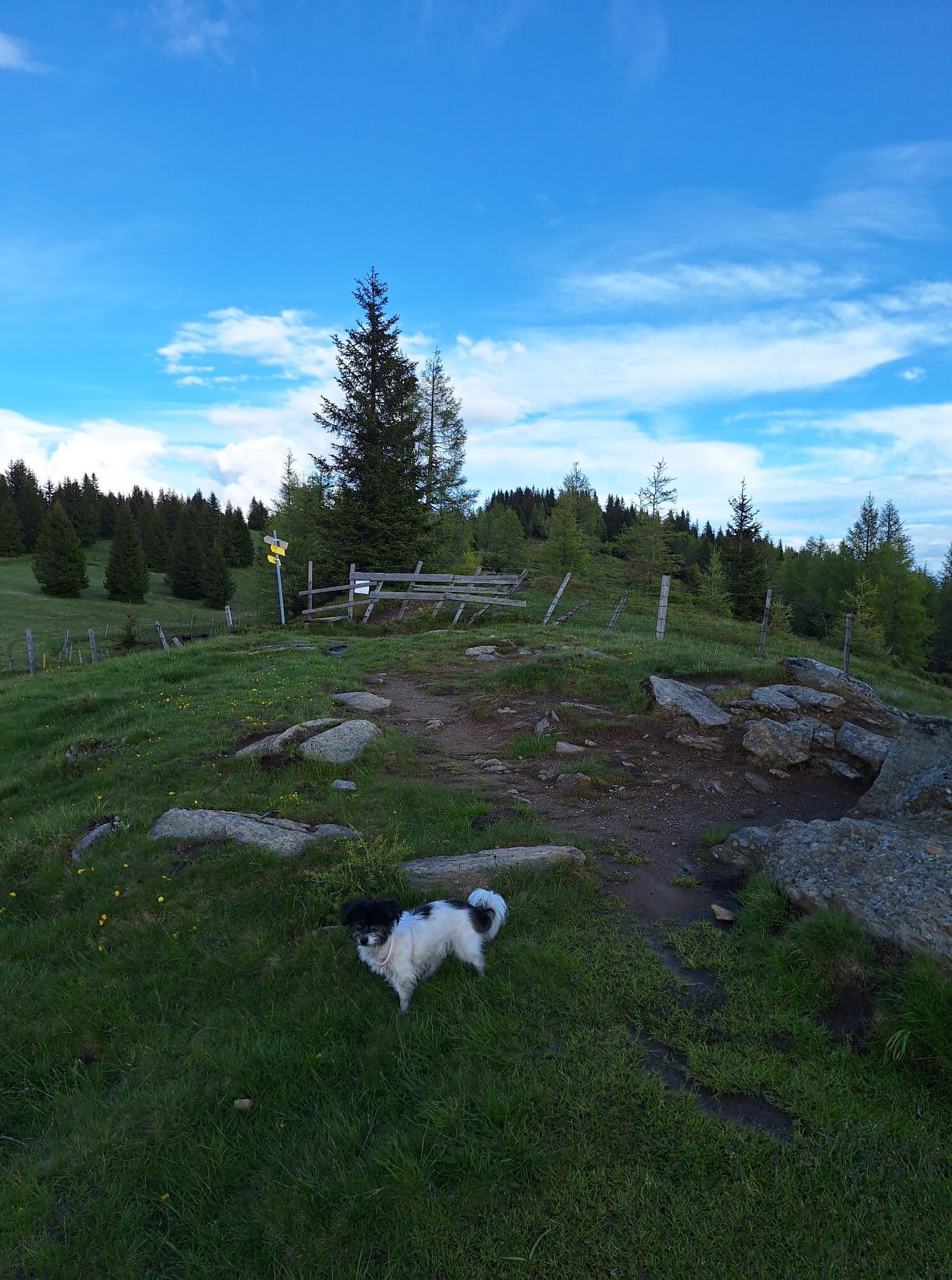
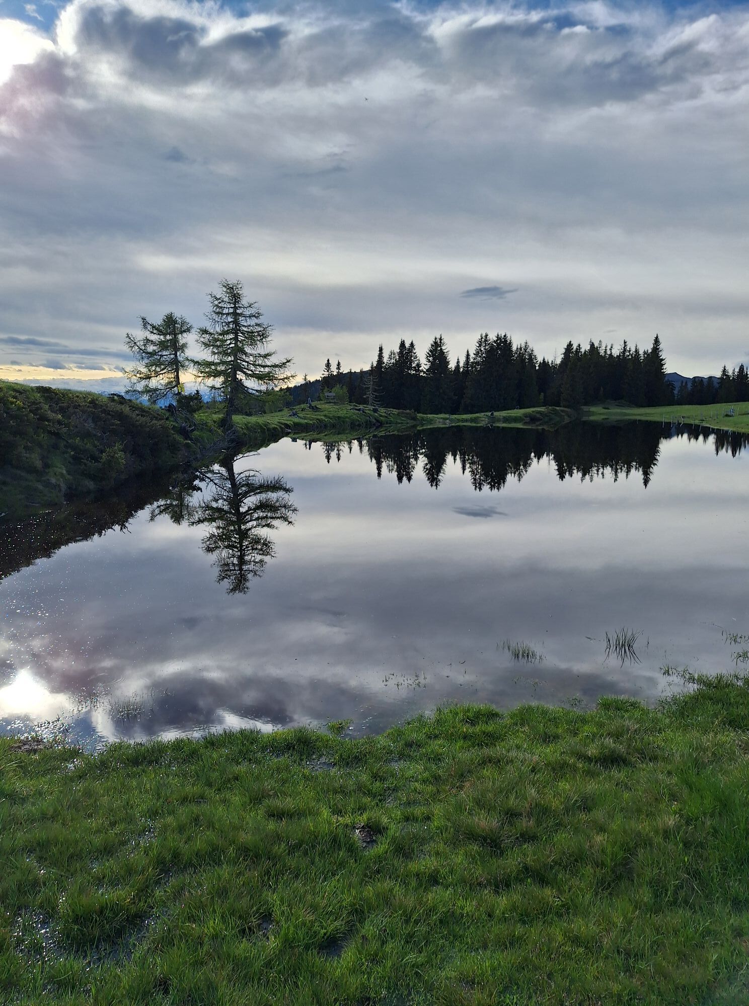
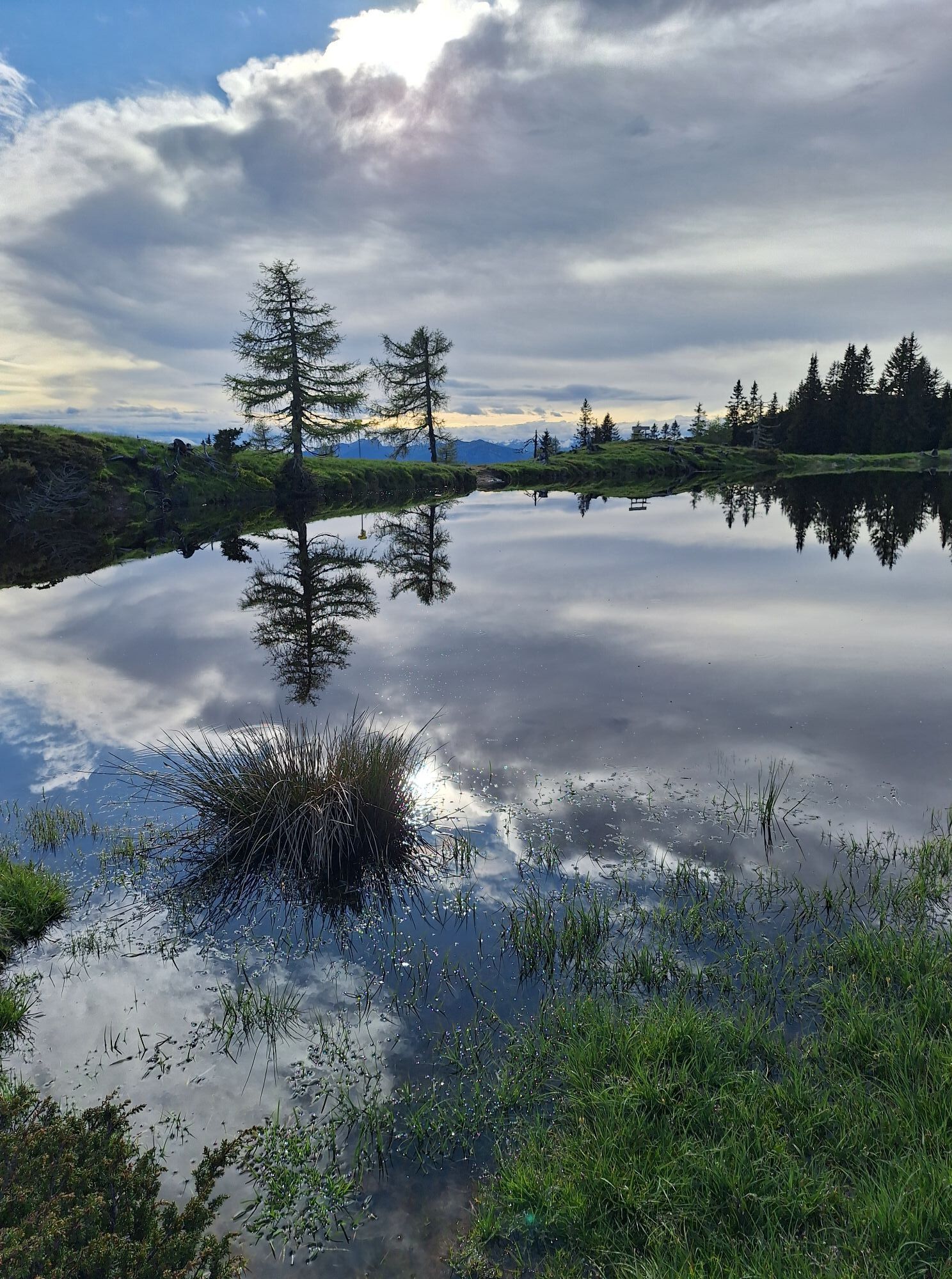
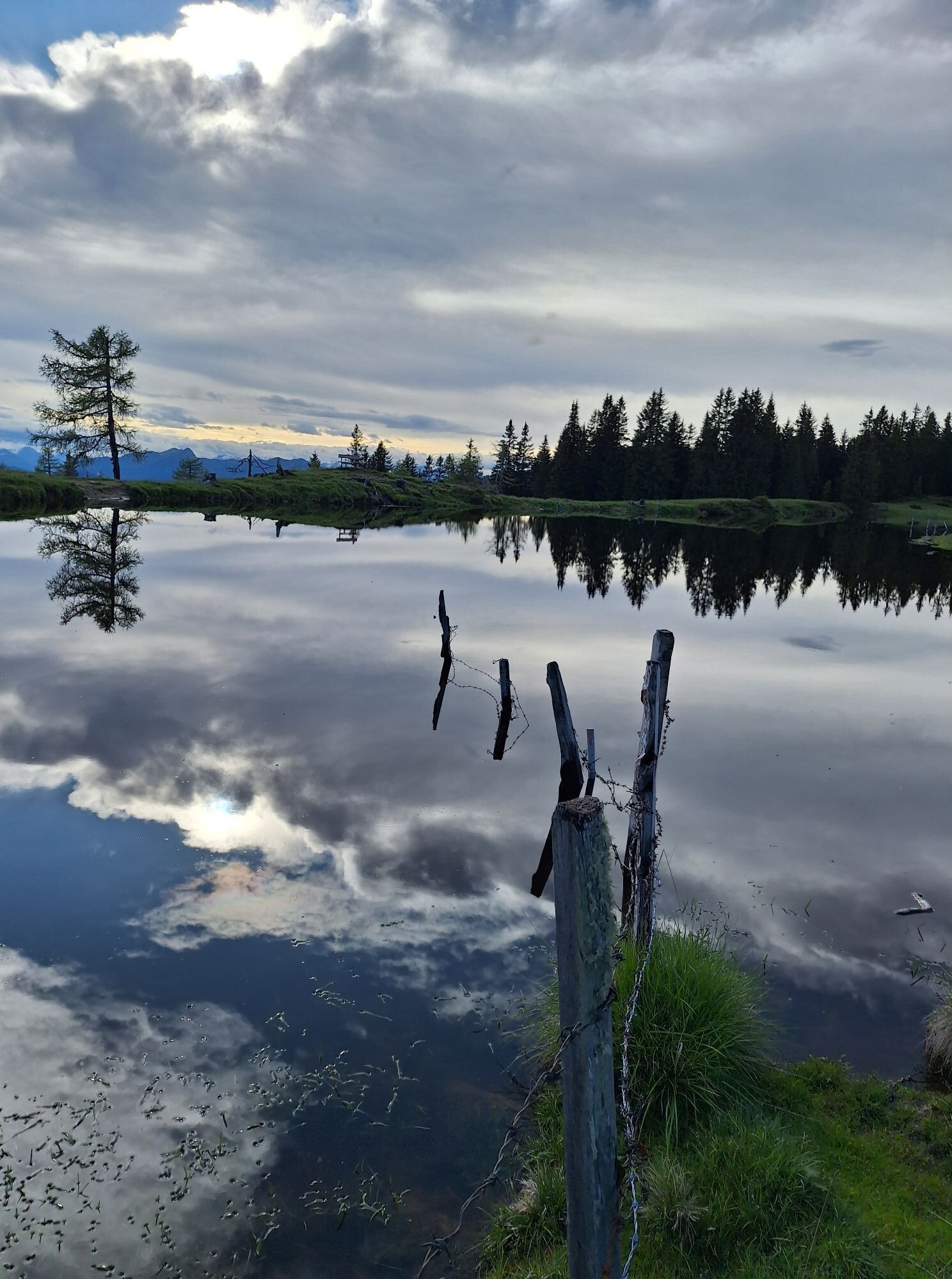
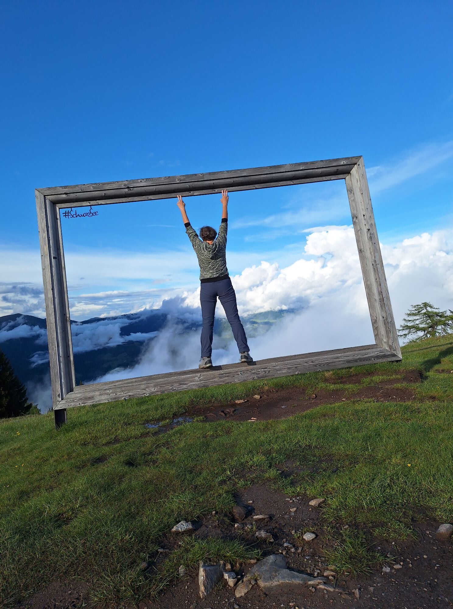

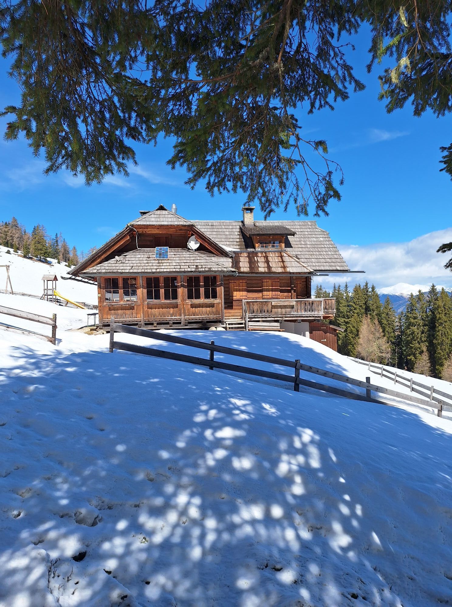
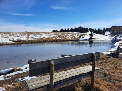
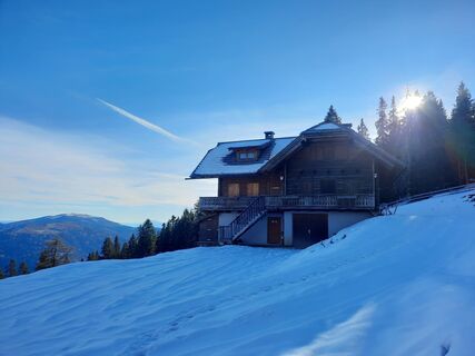
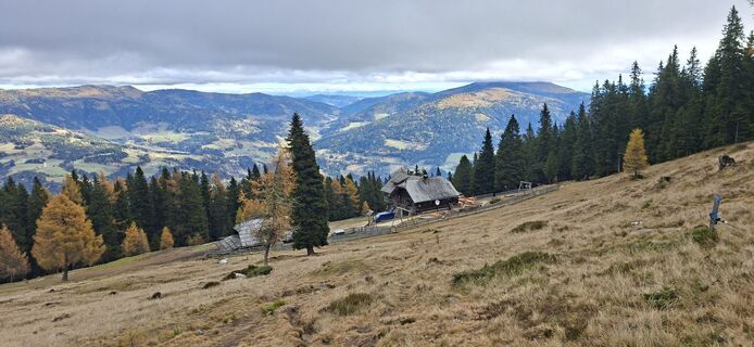
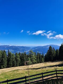
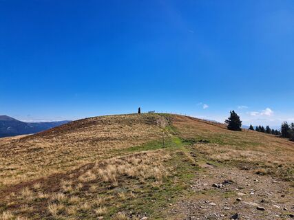
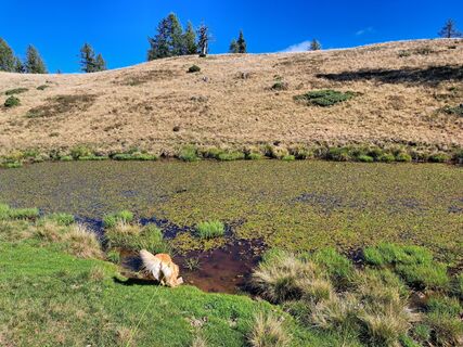
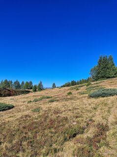
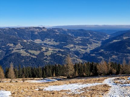
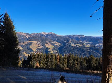
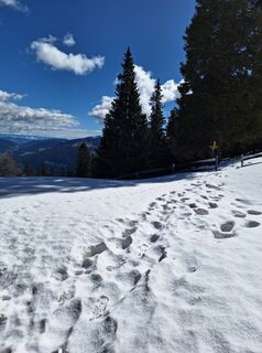
This circular route leads over Schwarzsee to Palnock and back to the starting point.
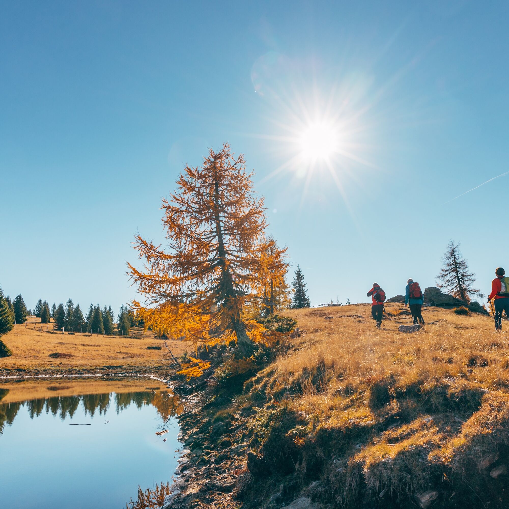
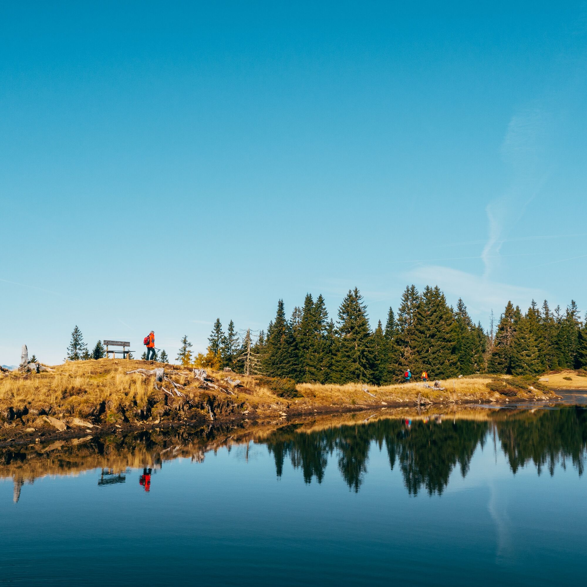
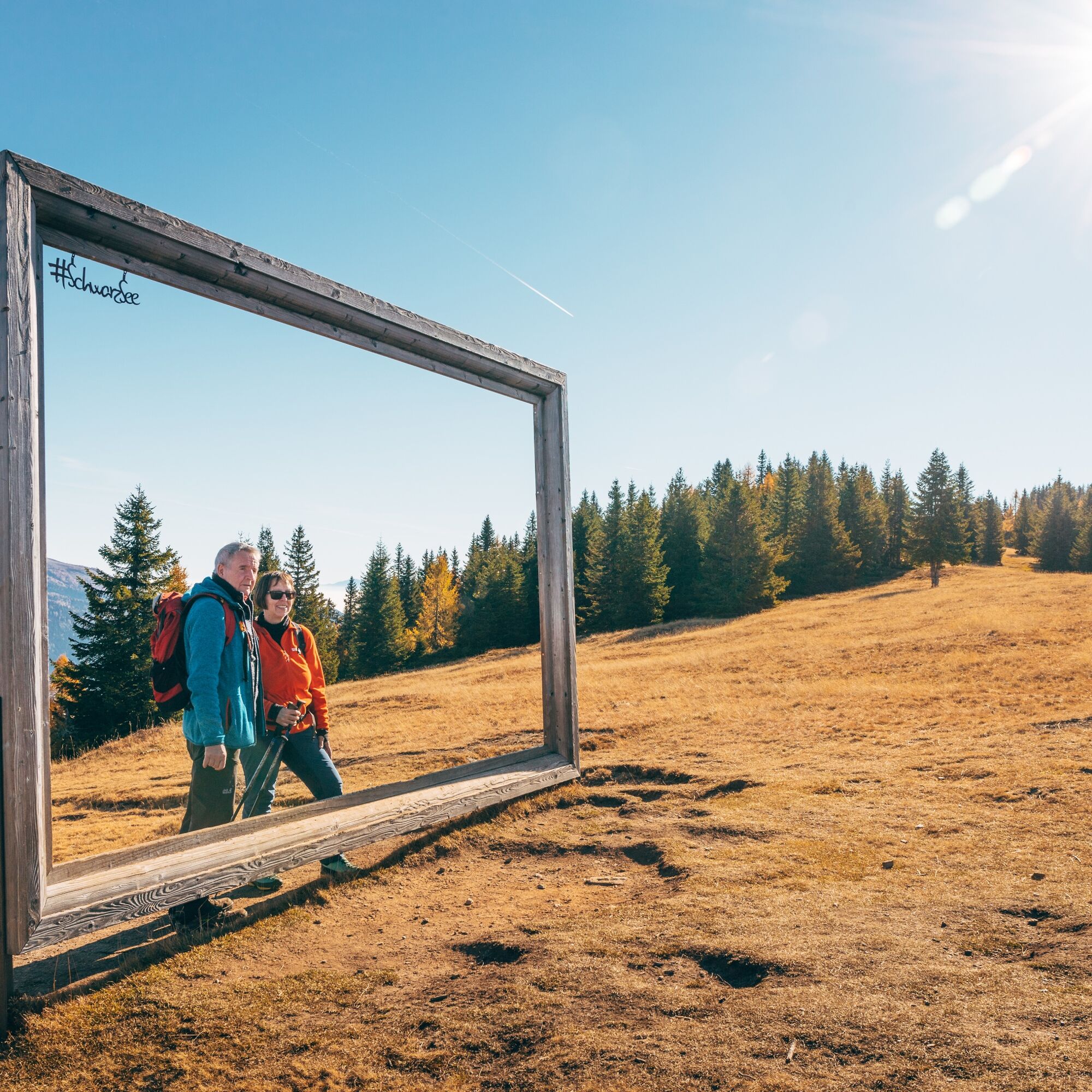
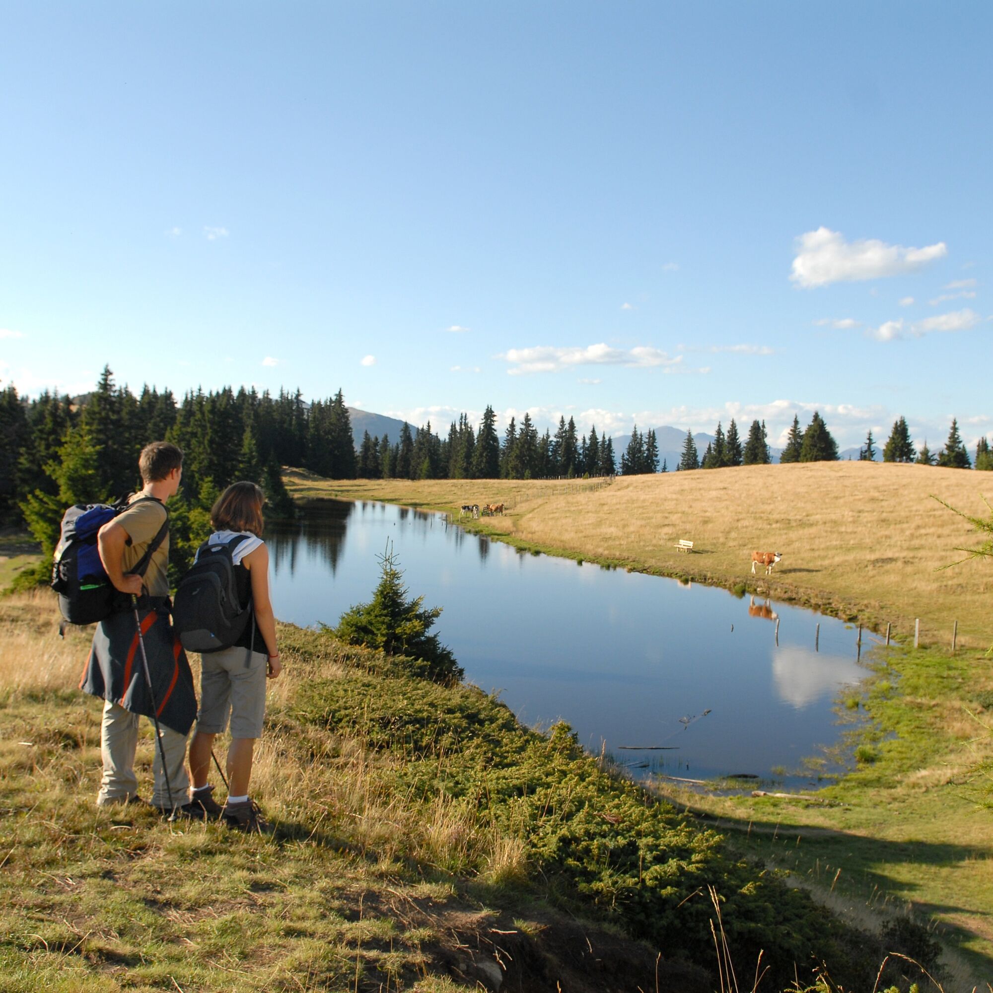
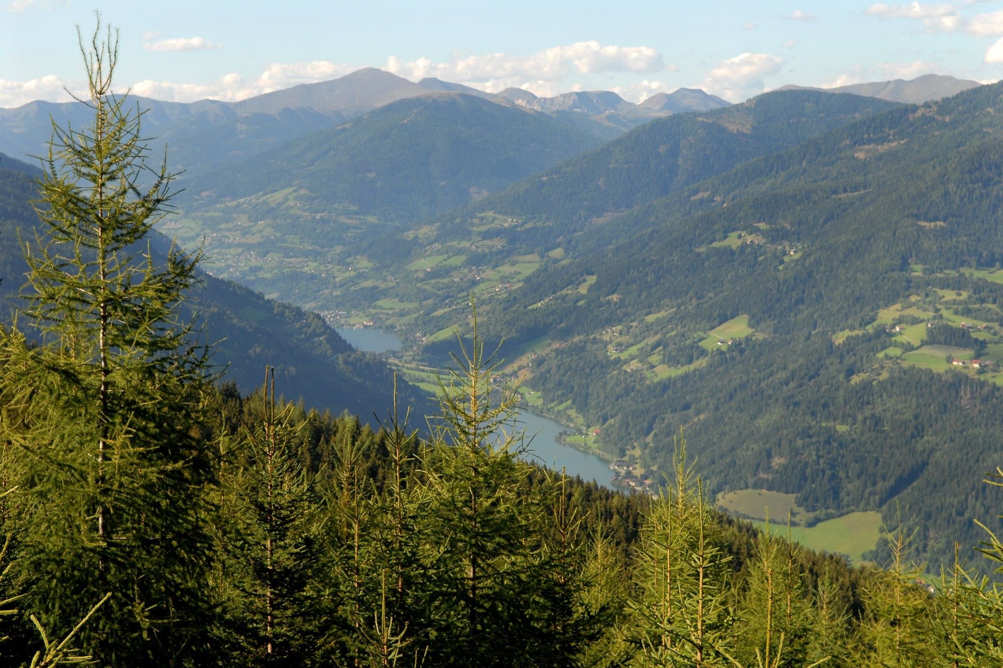
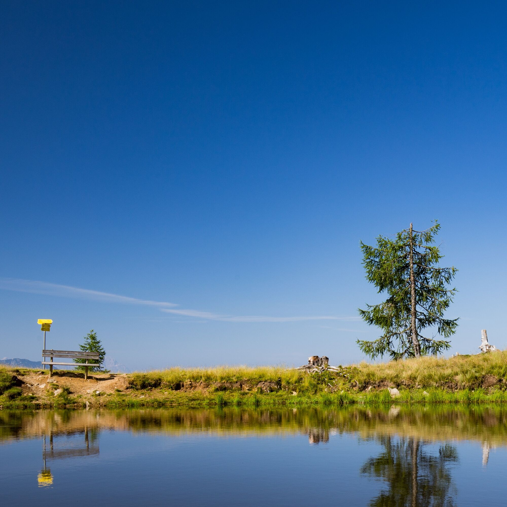
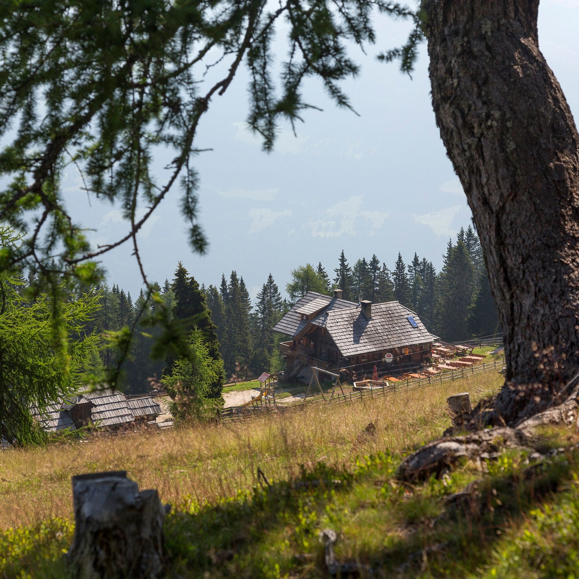
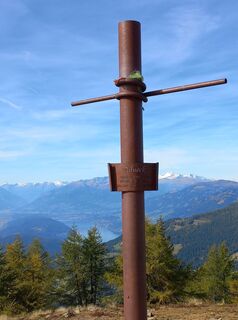
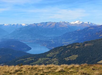
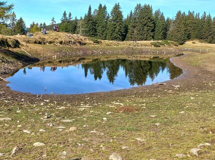
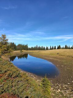
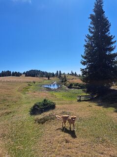
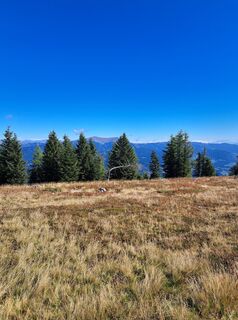
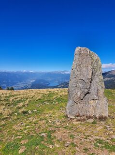
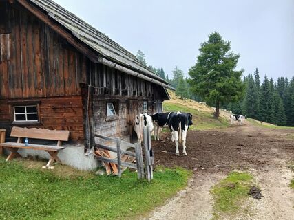
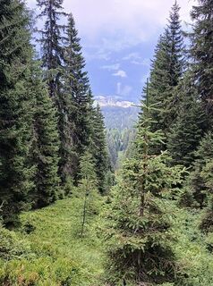
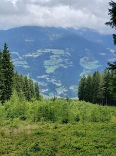
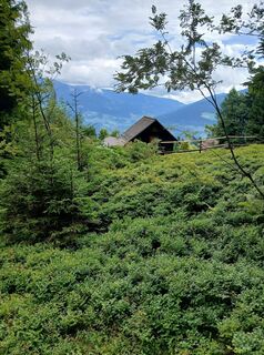
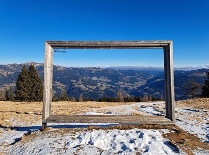
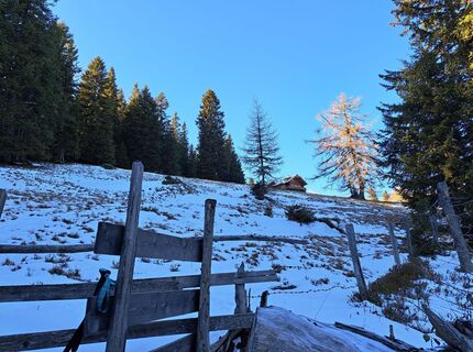
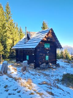
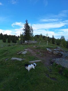
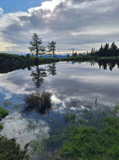
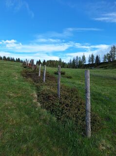
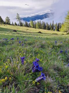
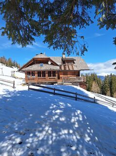
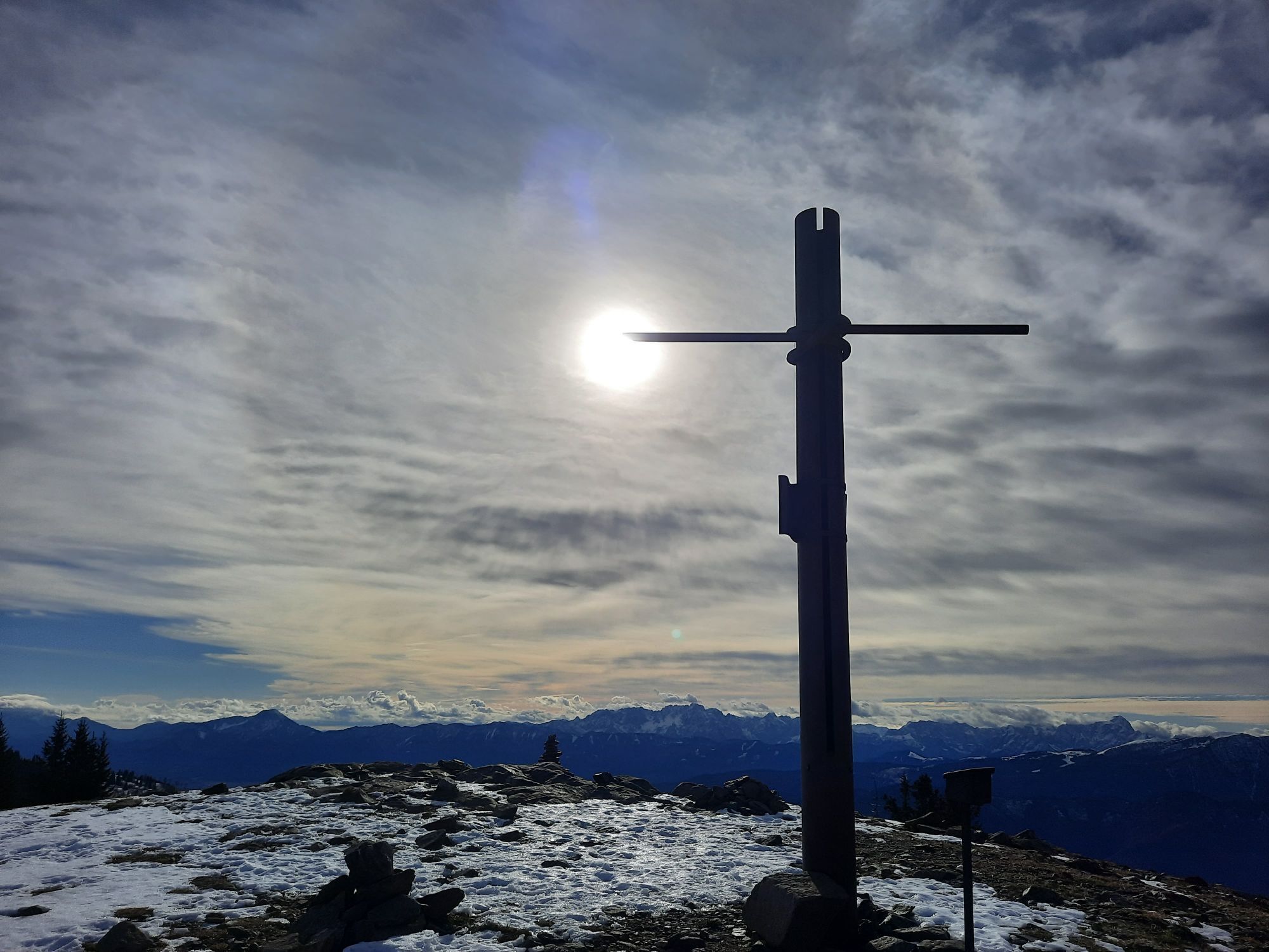
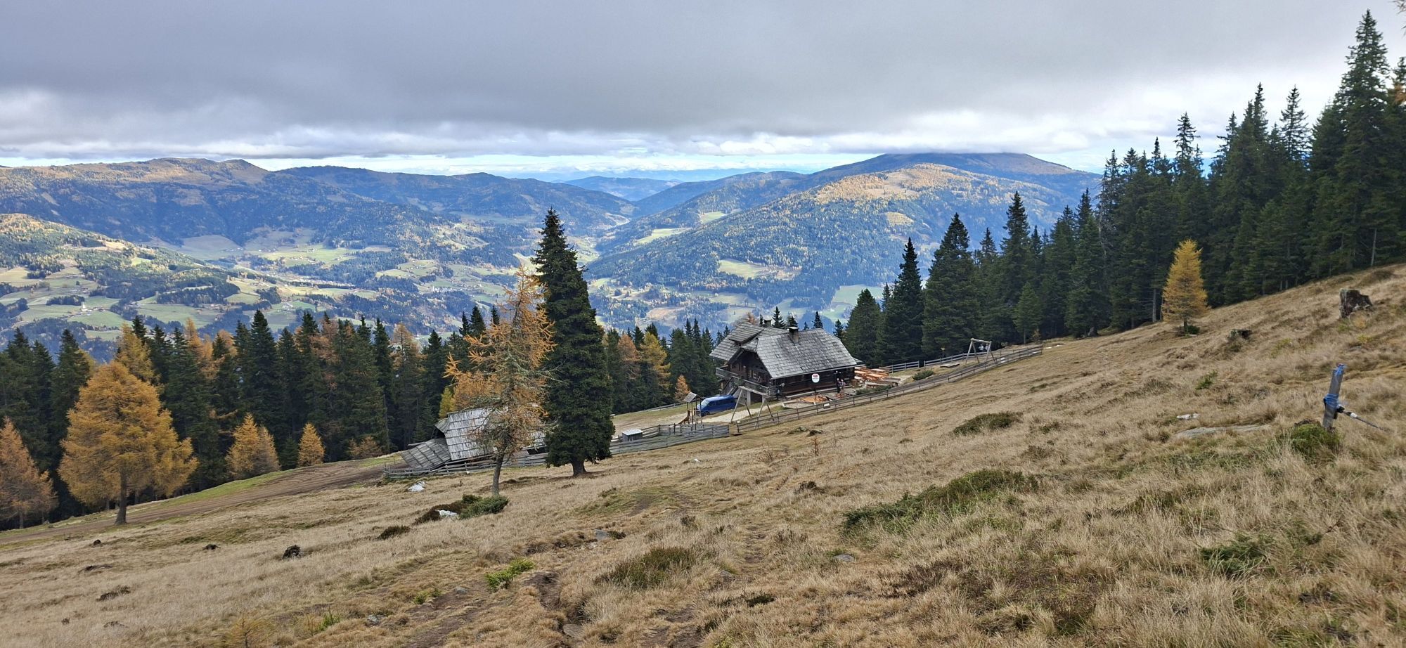
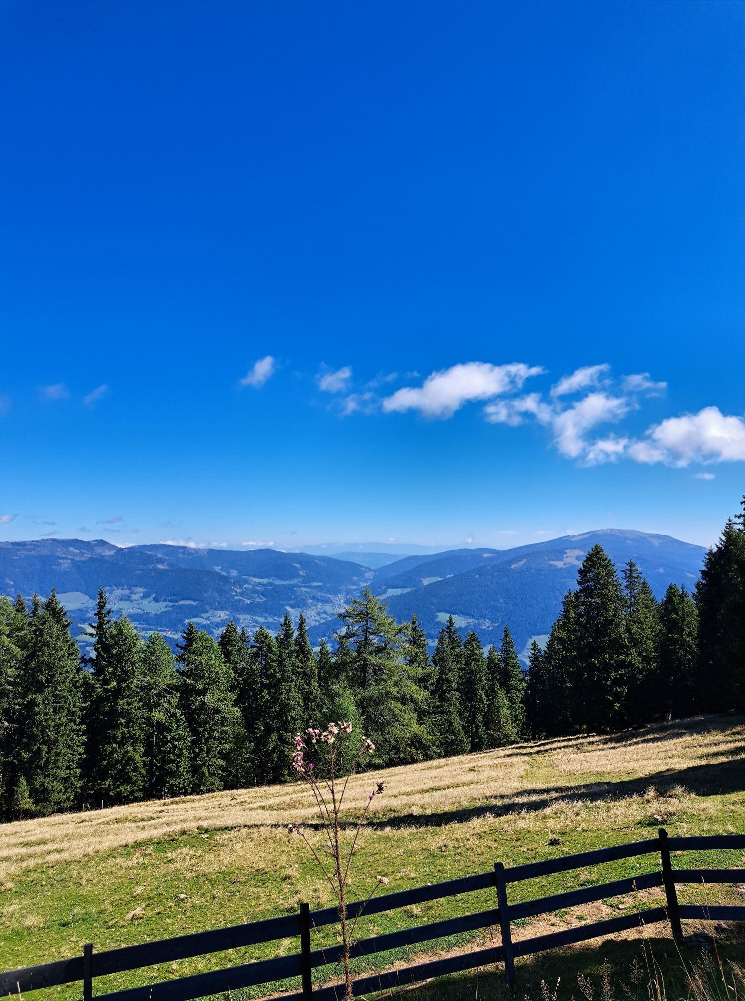
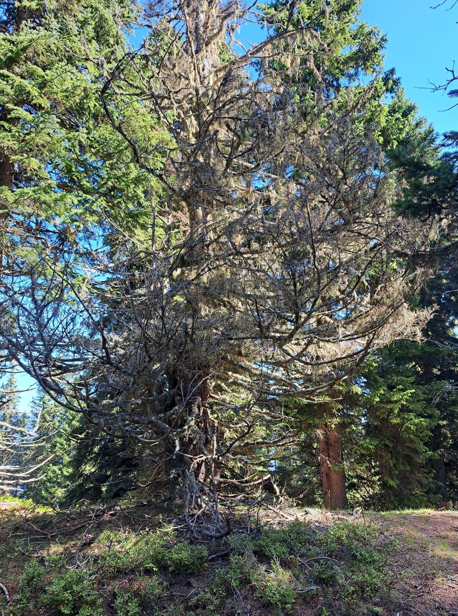
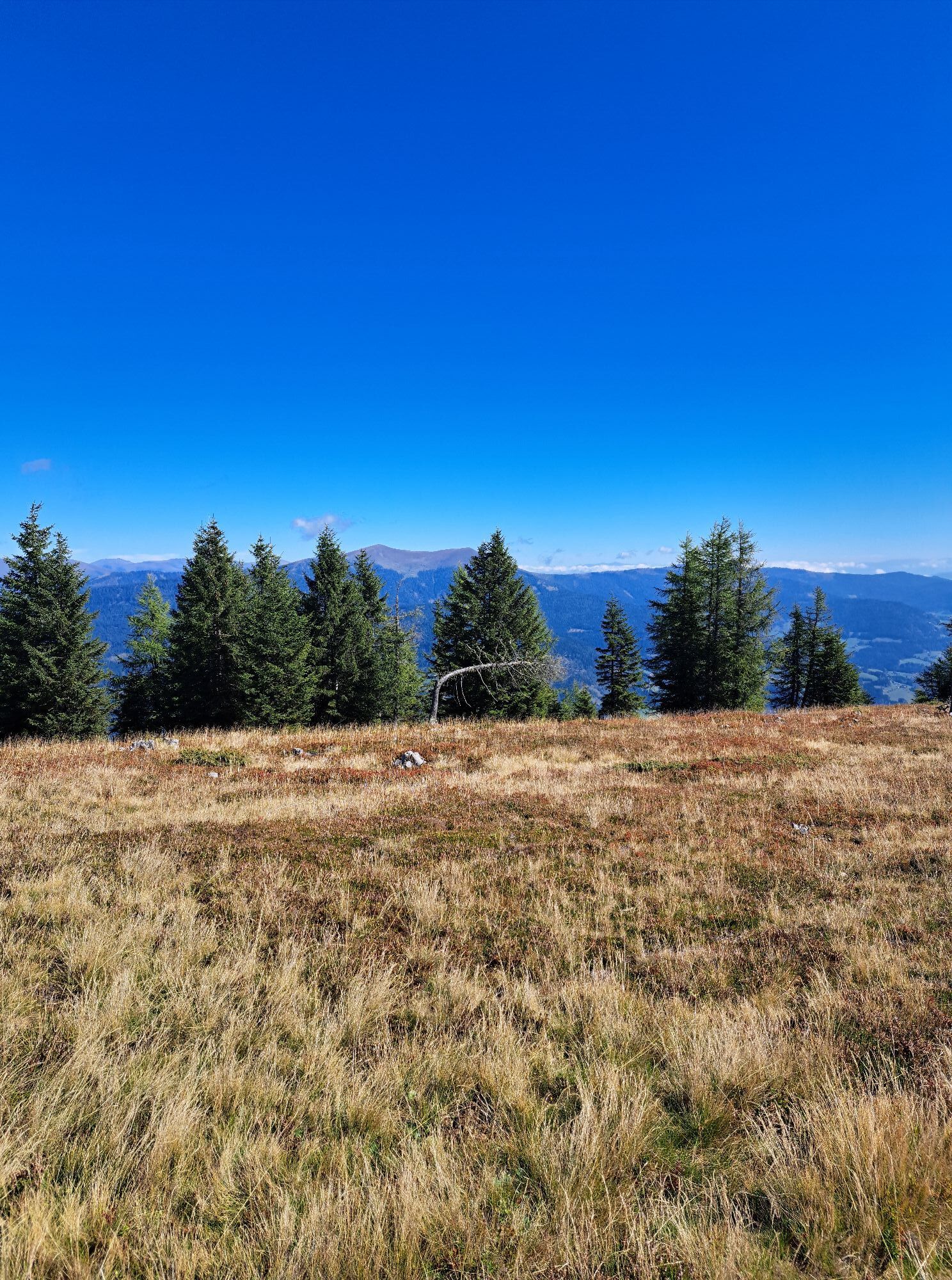
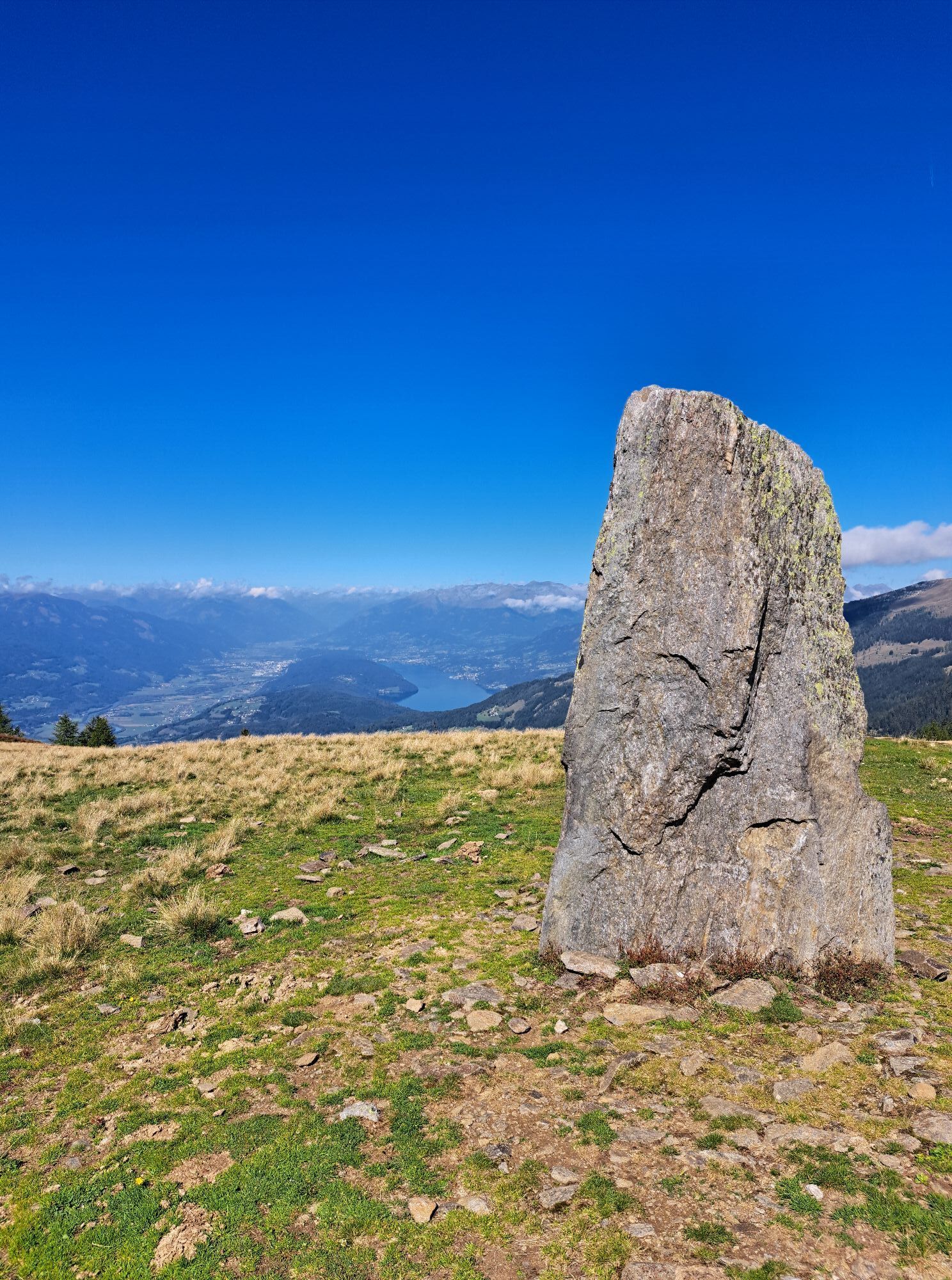
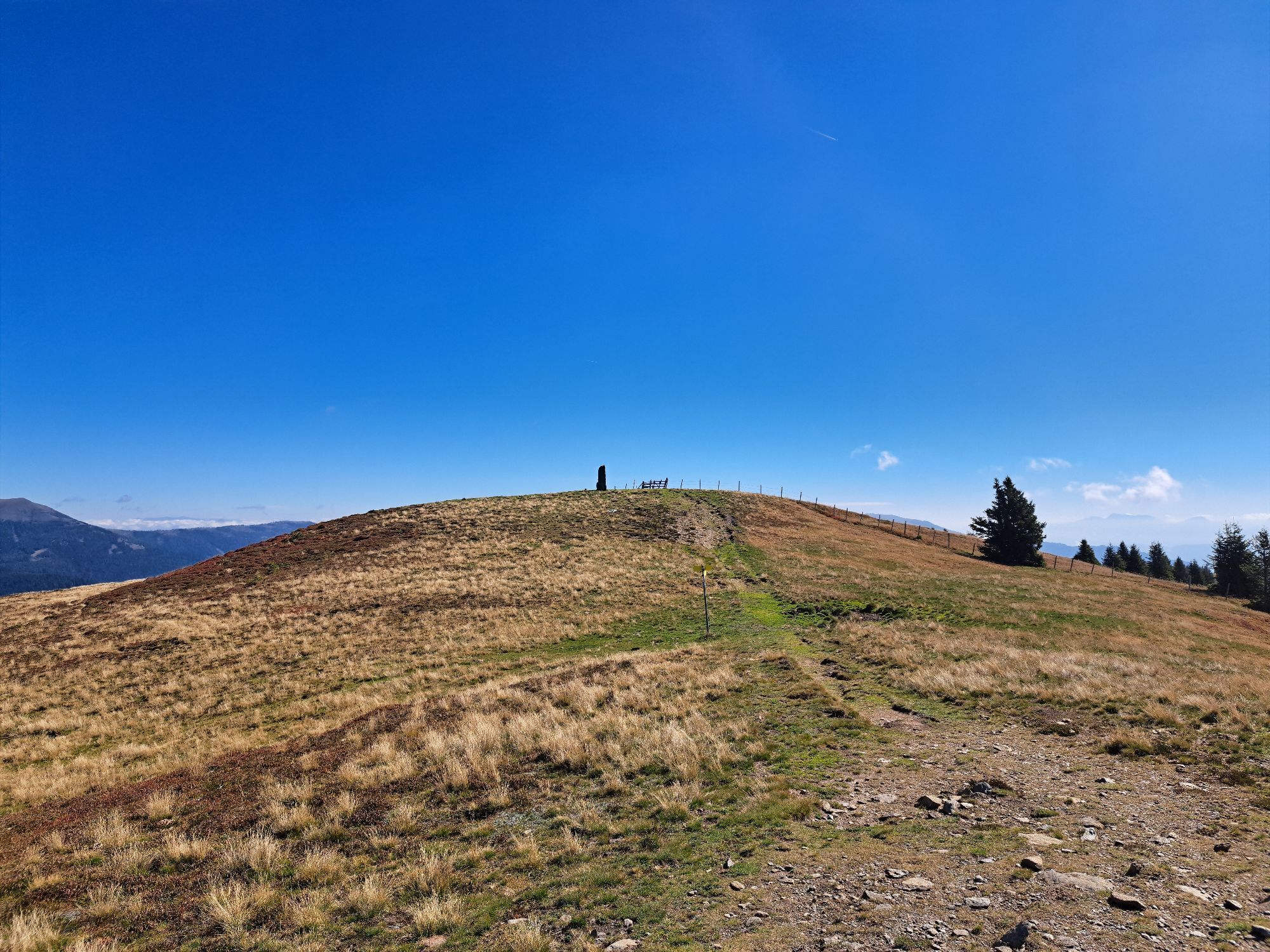
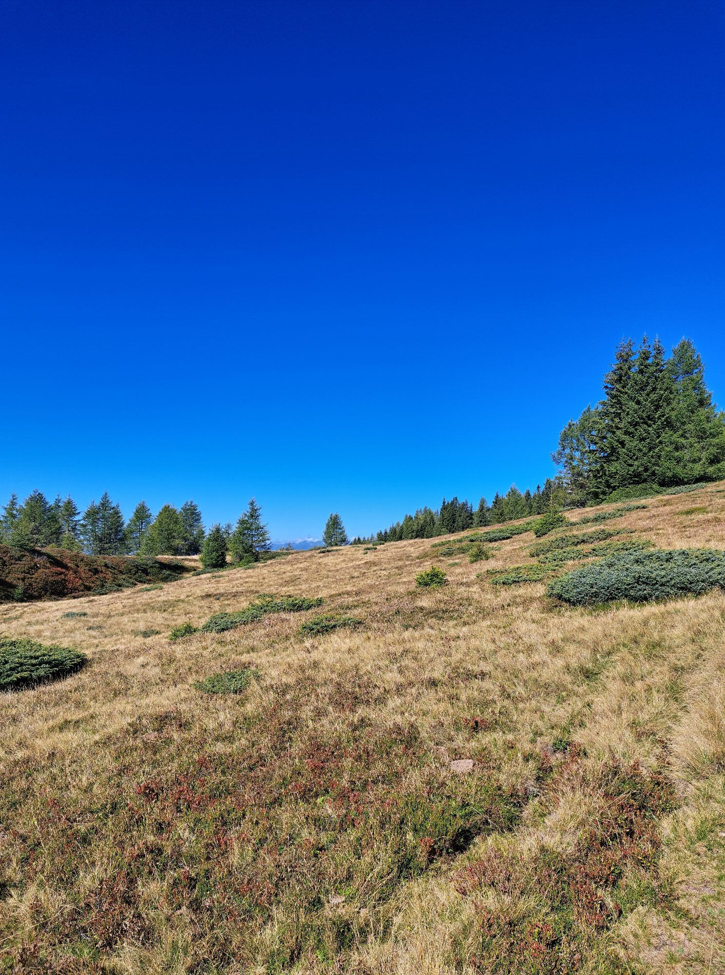
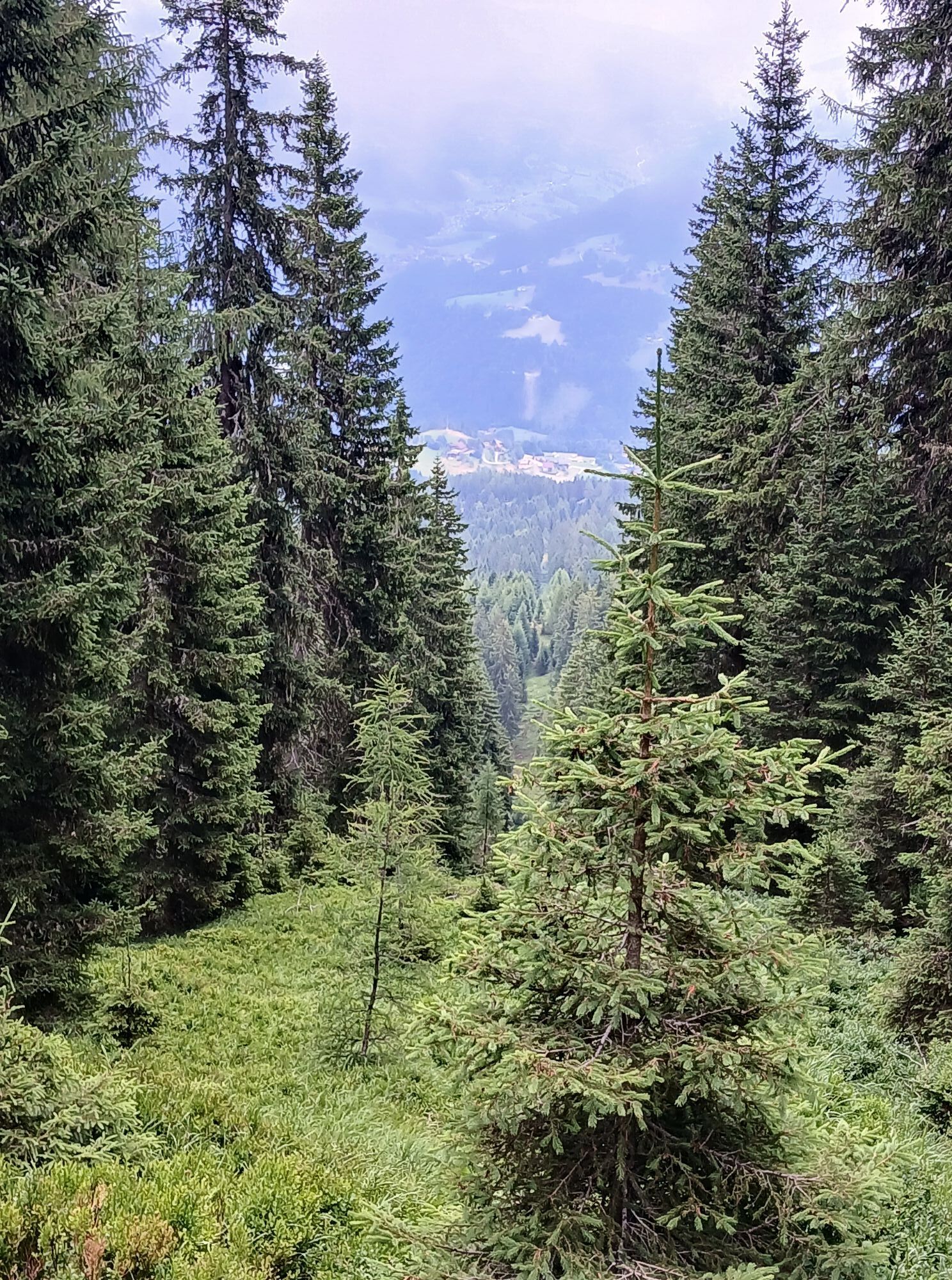
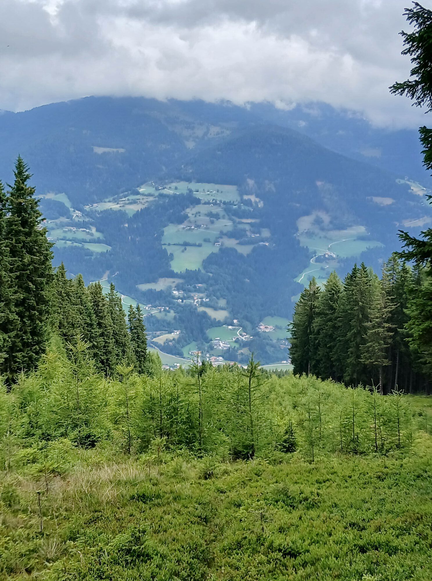
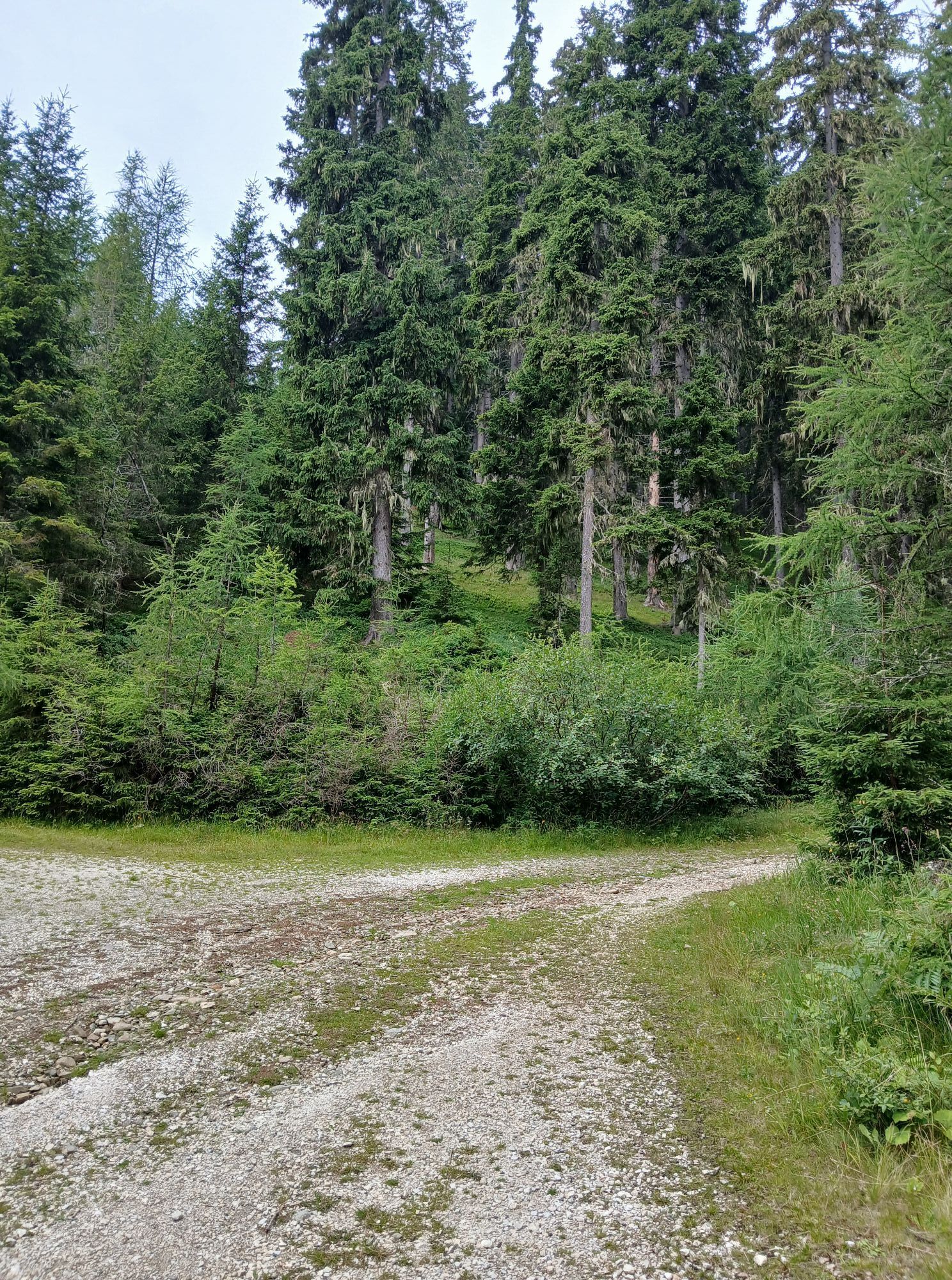
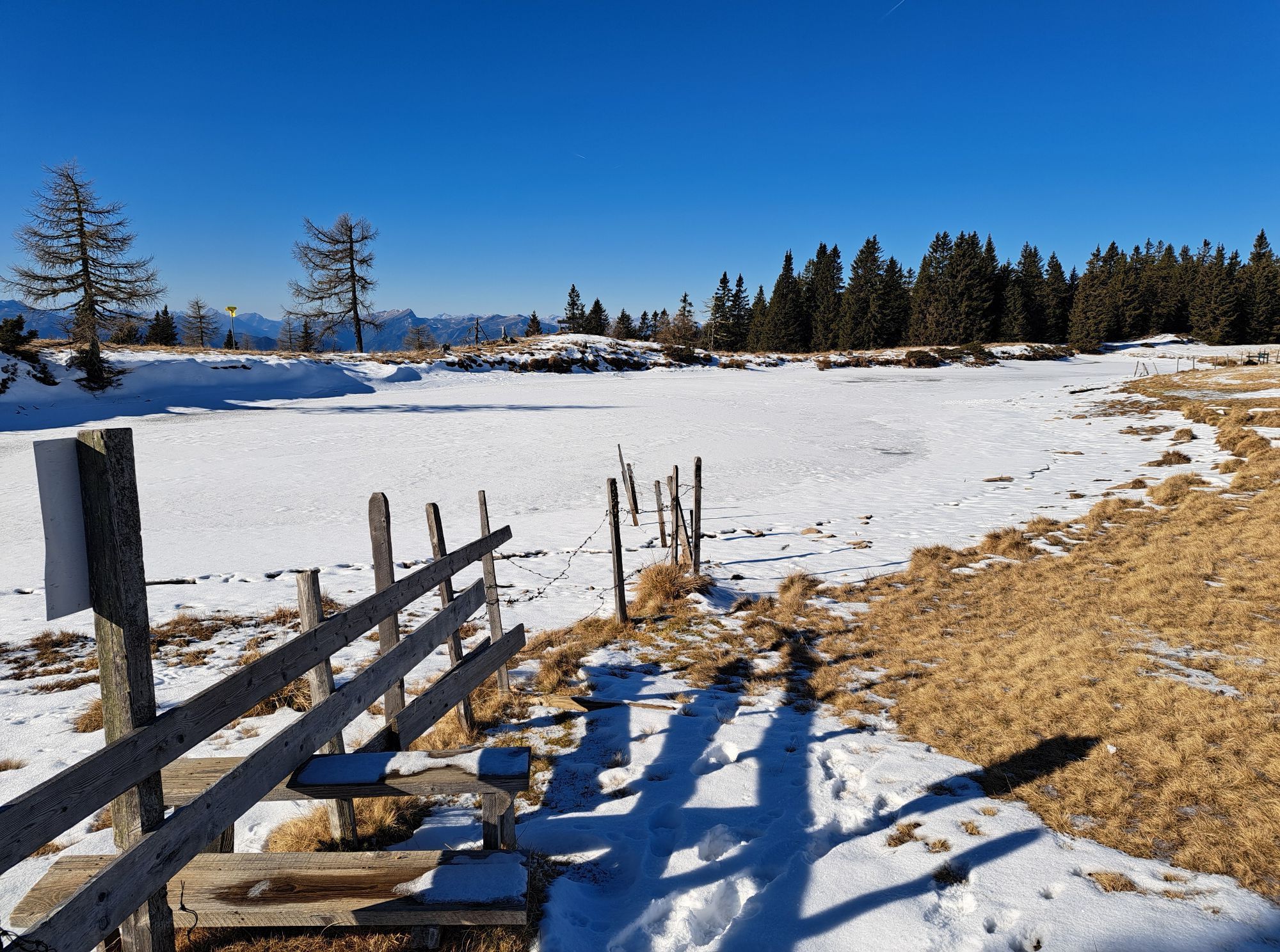
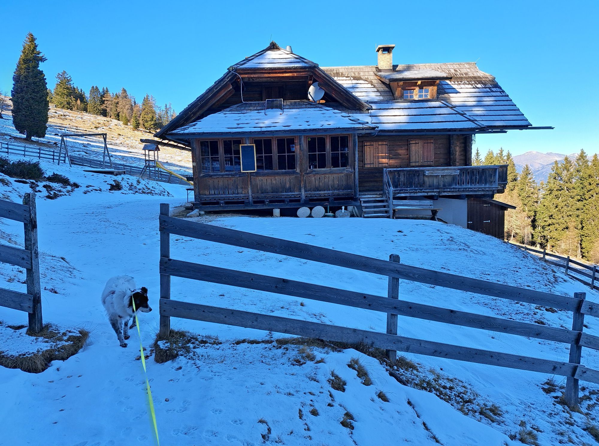
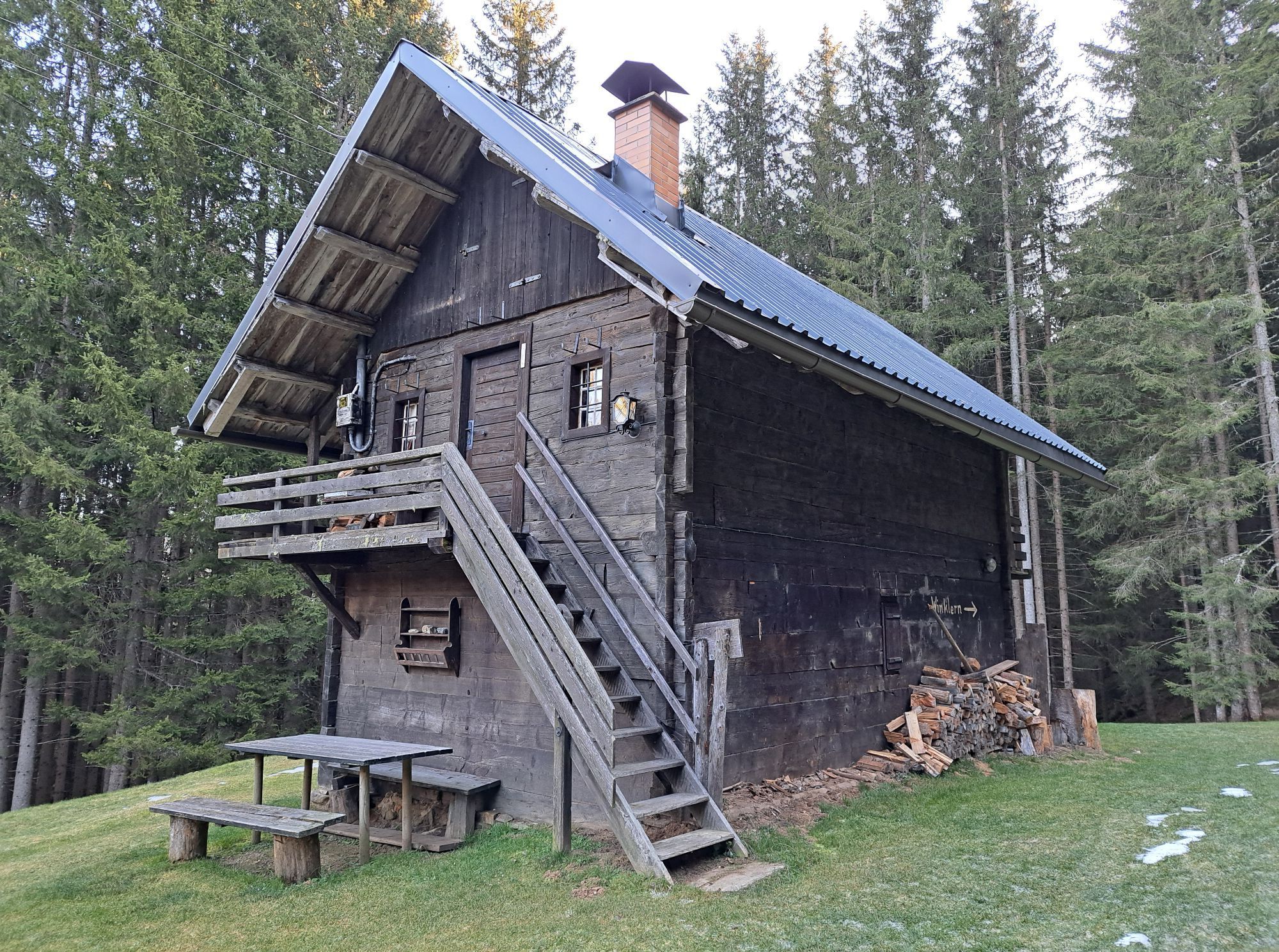
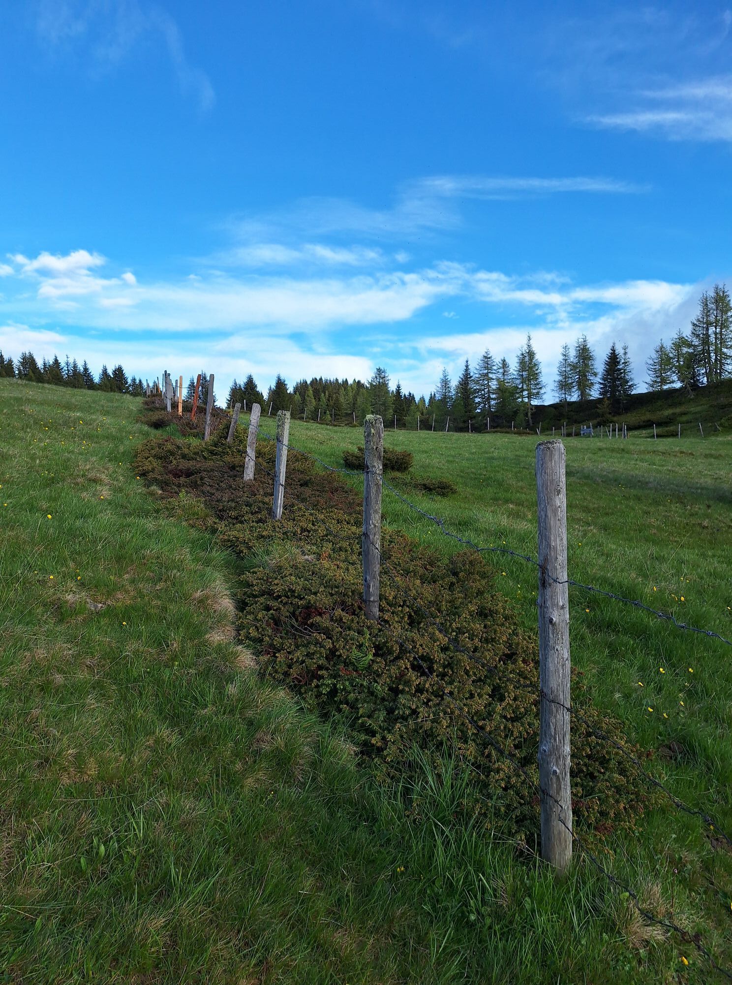
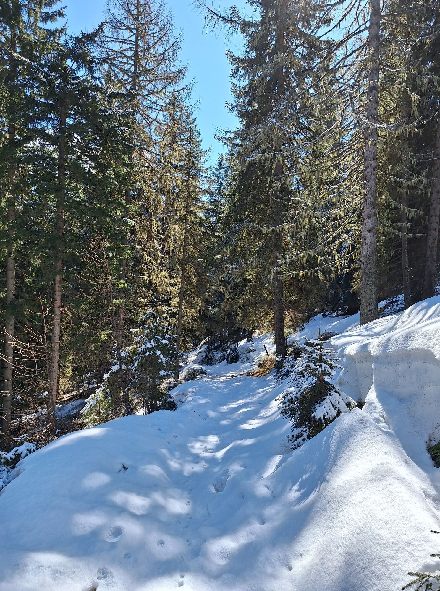
From the village of Afritz via Verditzer Straße you reach Lärchenboden, where there are plenty of parking spaces. From there this moderate hike leads over the idyllic Schwarzsee up to Palnock (1,901 meters). Along beautiful forest paths, hiking trail no. 27 leads up to Schwarzsee. After circling this small lake, you can refresh yourself at the Schwarzsee hut, which is open from mid-May to early October. Then it continues northwest towards Palnock. Past smaller ponds near Frießner Alpe, the path leads up to the summit, which is marked by a stone monument. Here you can enjoy wonderful views (e.g. Millstätter See), before returning to the Schwarzsee hut. Then take hiking trail no. 28, where after about 1 kilometer you turn right towards Steinhauser hut. Shortly after the hut you reach Verditzer Straße again, along which you ascend back to the starting point.
Áno
Good footwear, rain protection, and drinking water.
Always keep an eye on the weather forecast.
The easiest way to reach Afritz is to take the "Villach - Ossiacher See" motorway exit and then follow the federal road towards Treffen and Radenthein. The entrance to Verditzer Straße is on the left side, in the middle of the village.
The starting point is only accessible by car.
Parking lot at Lärchenboden.
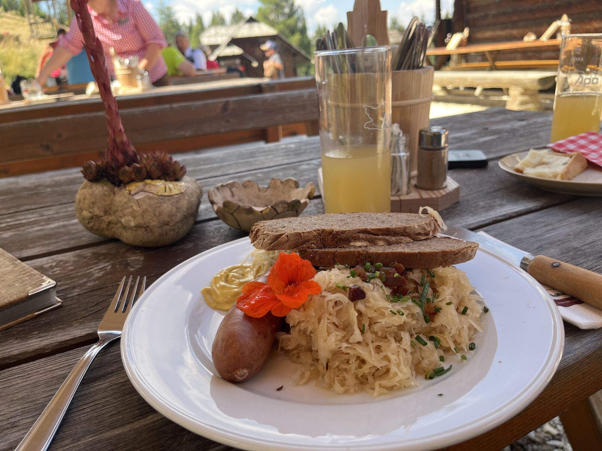
Visit the Schwarzsee hut and enjoy Carinthian delicacies.
Obľúbené výlety v okolí
-
4,7
Gailtaler Alpen: Wanderung auf der Dobratsch
strednáTuristika 8,50 km -
4,4
Dobratsch - Jägersteig
strednáTuristika 9,11 km -
4,3
Einfacher Aufstieg vom Parkplatz Rosstratte auf den Dobratsch
svetloTuristika 9,12 km -
4,1
Mirnock
svetloTuristika 4,54 km -
3,9
Schwarzsee circular hiking trail
strednáTuristika 7,79 km -
4,9
4 Huts Tour
strednáTuristika 8,96 km -
4,5
Traumbogen Circuit
svetloTuristika 4,26 km -
Villach Alpe
ťažkéTuristika 7,26 km -
5,0
Amberg: Palnock 1901m, Schwarzsee, Rundstrecke
strednáTuristika 7,94 km -
3,9
Gerlitzen - Hüttersteig
ťažkéTuristika 6,80 km
Turistika a stopovanie


Nenechajte si ujsť ponuky a inšpiráciu na ďalšiu dovolenku
Vaša e-mailová adresa bol pridaný do poštového zoznamu.