







Mallestiger Mittagskogel


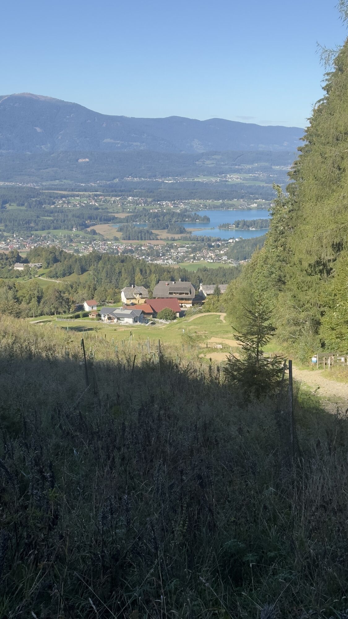
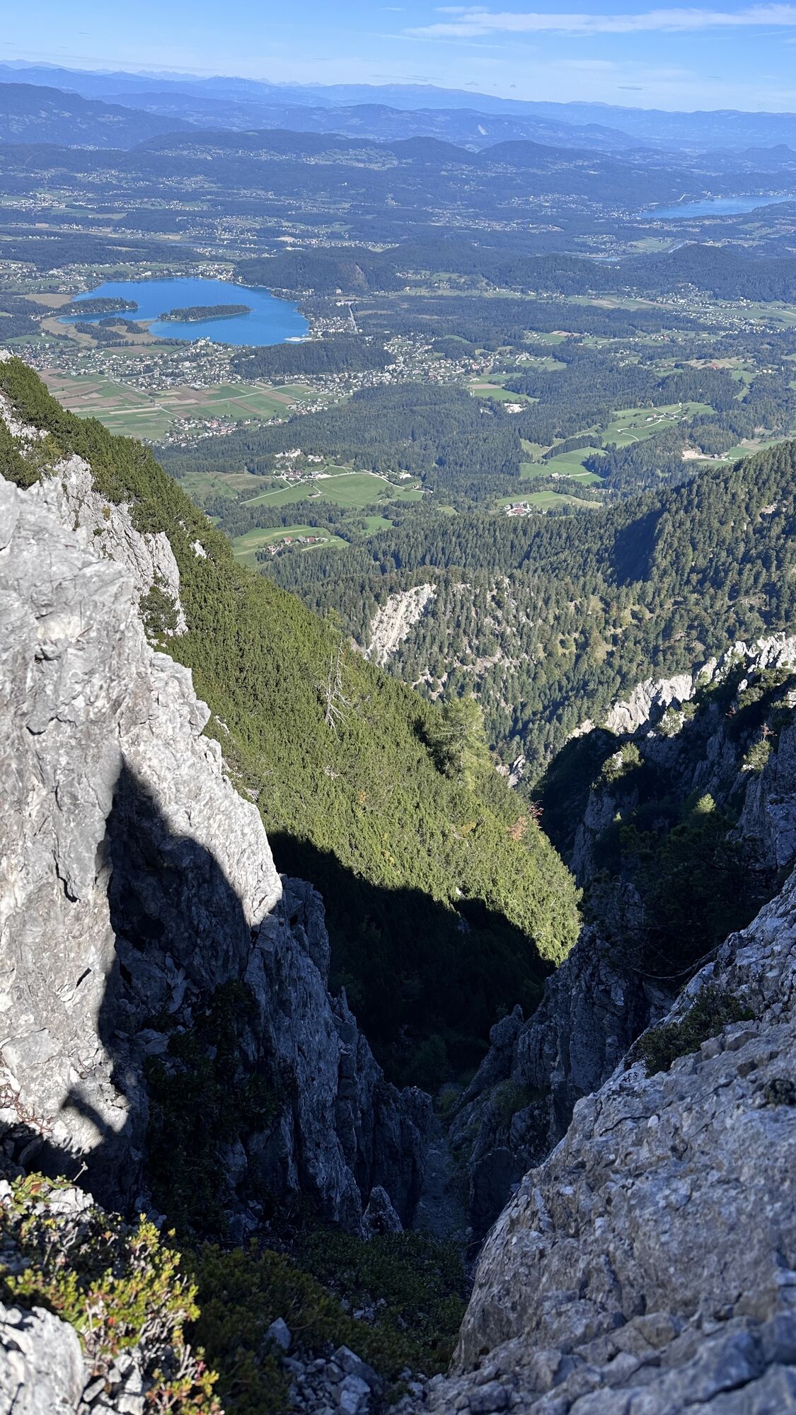
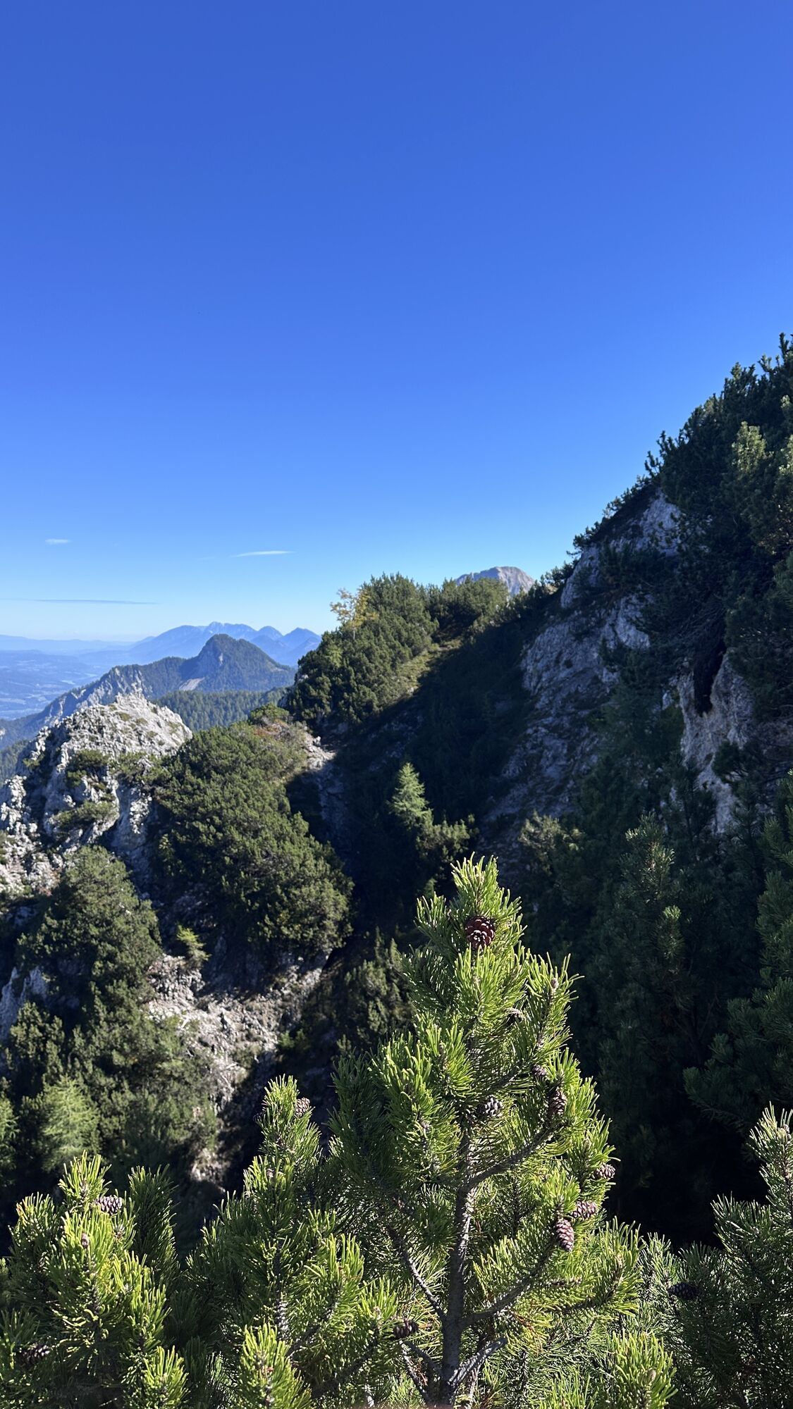
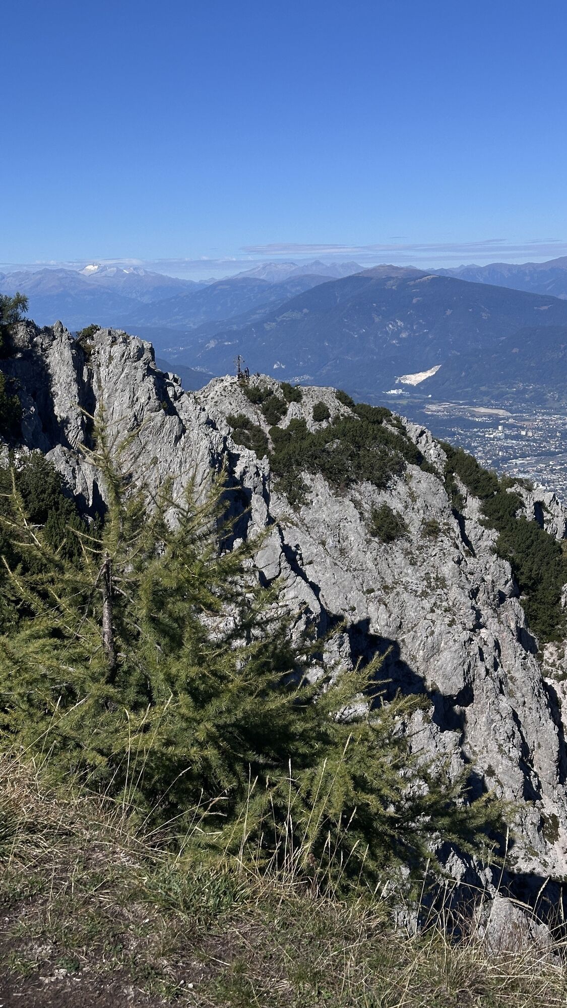
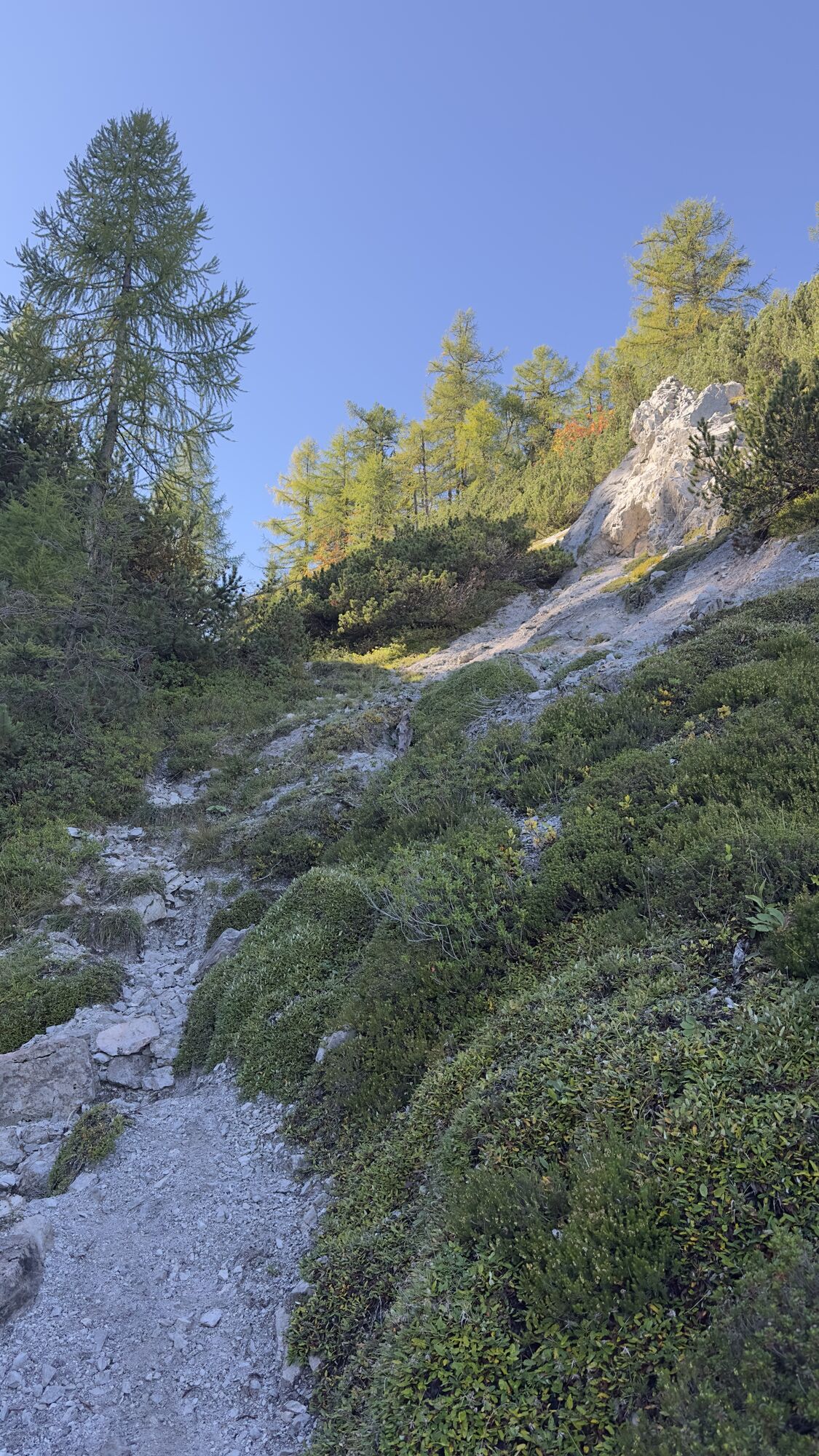
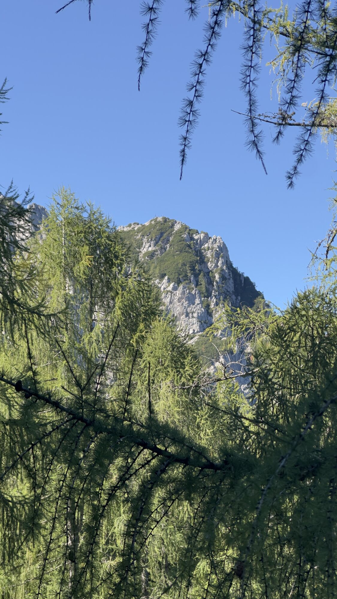
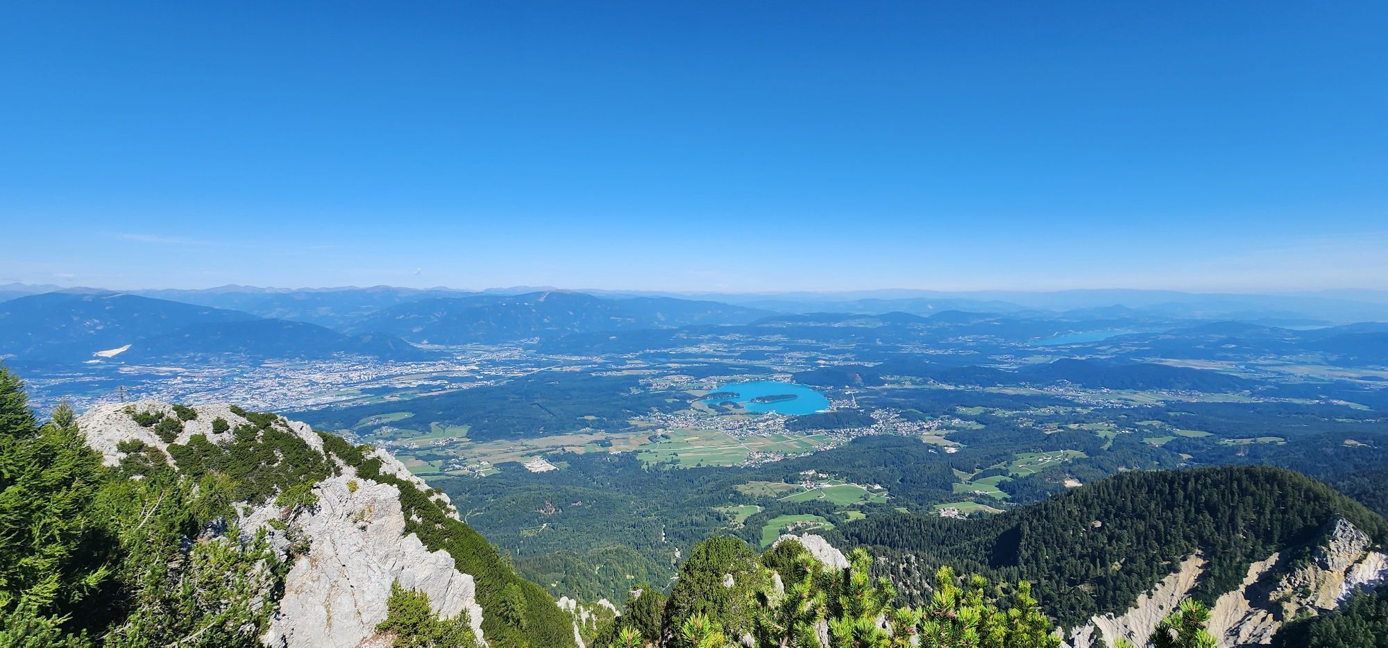
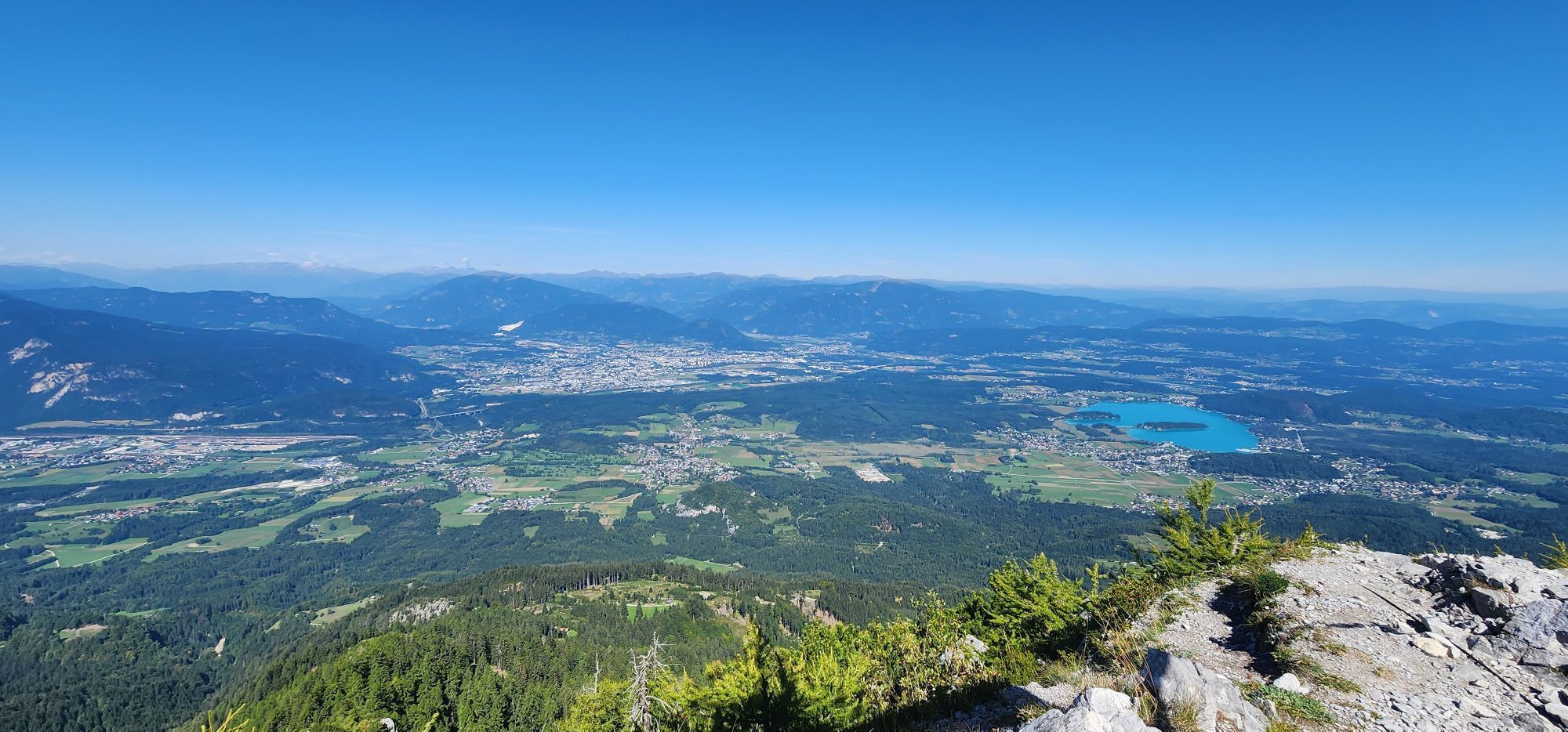
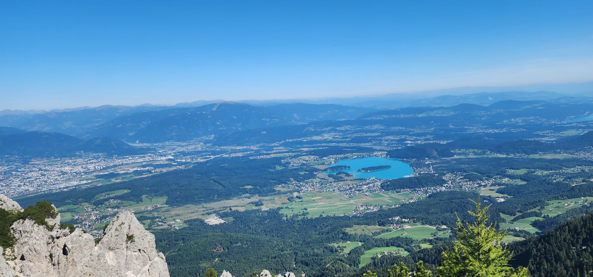
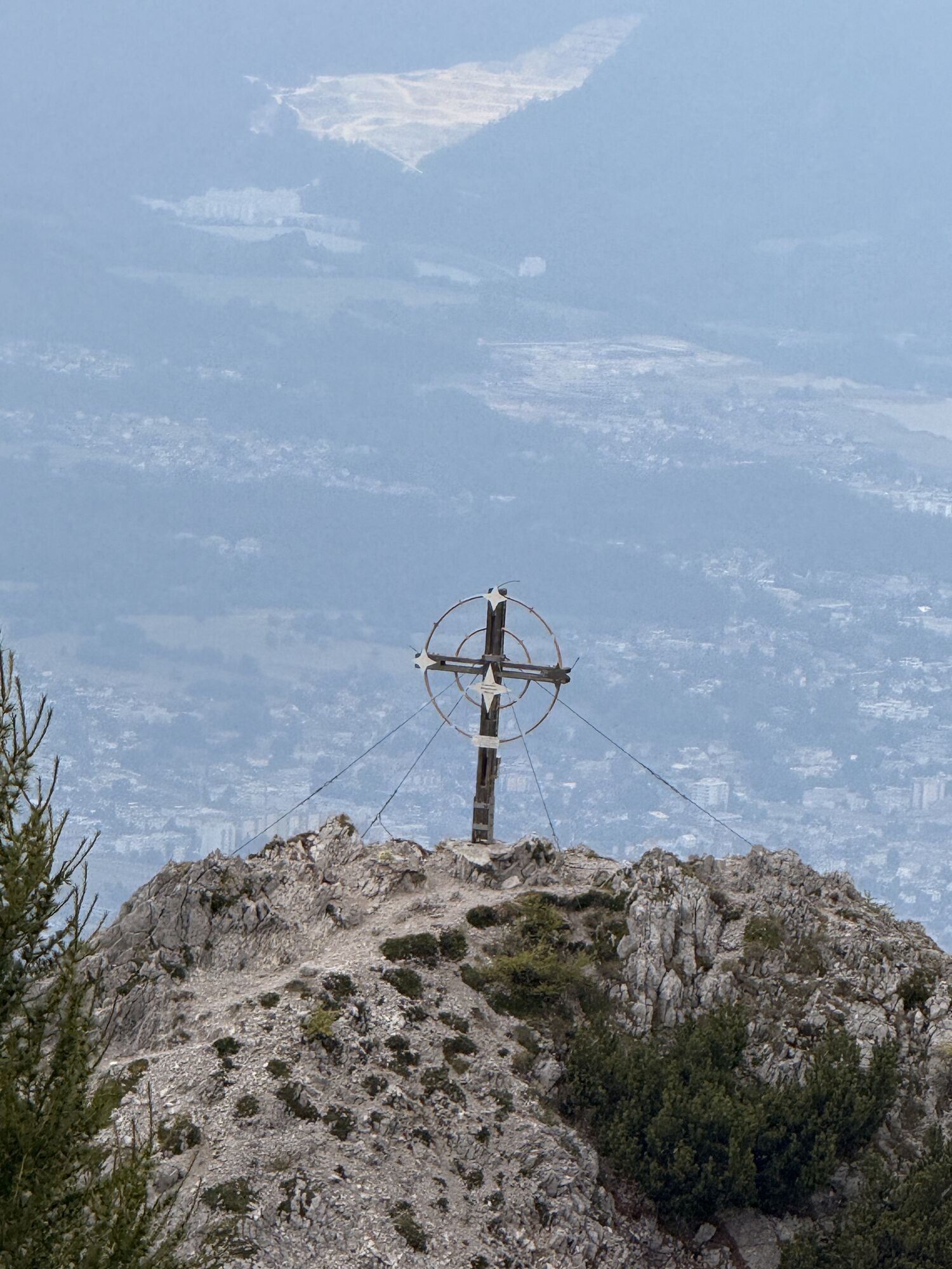
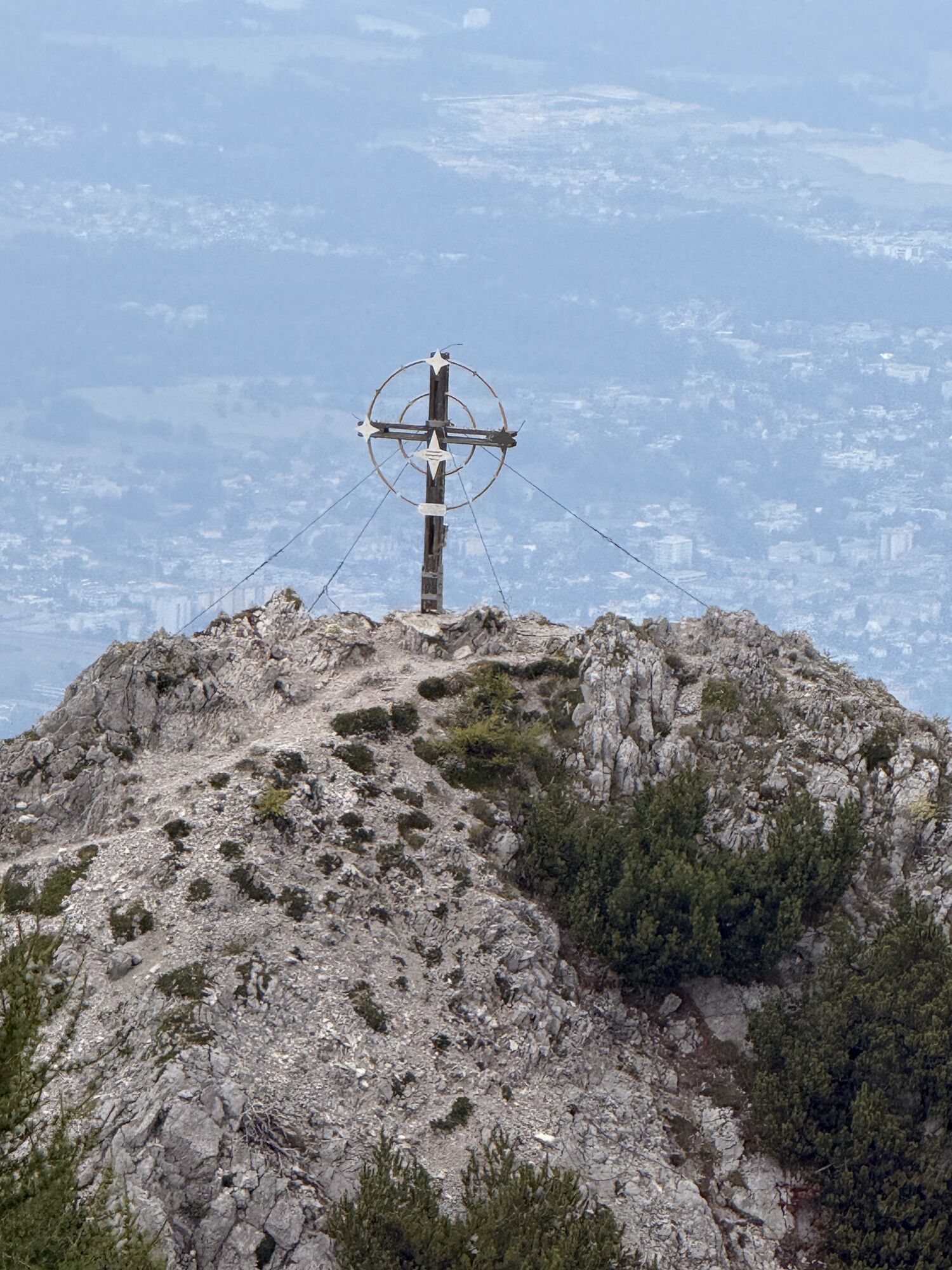
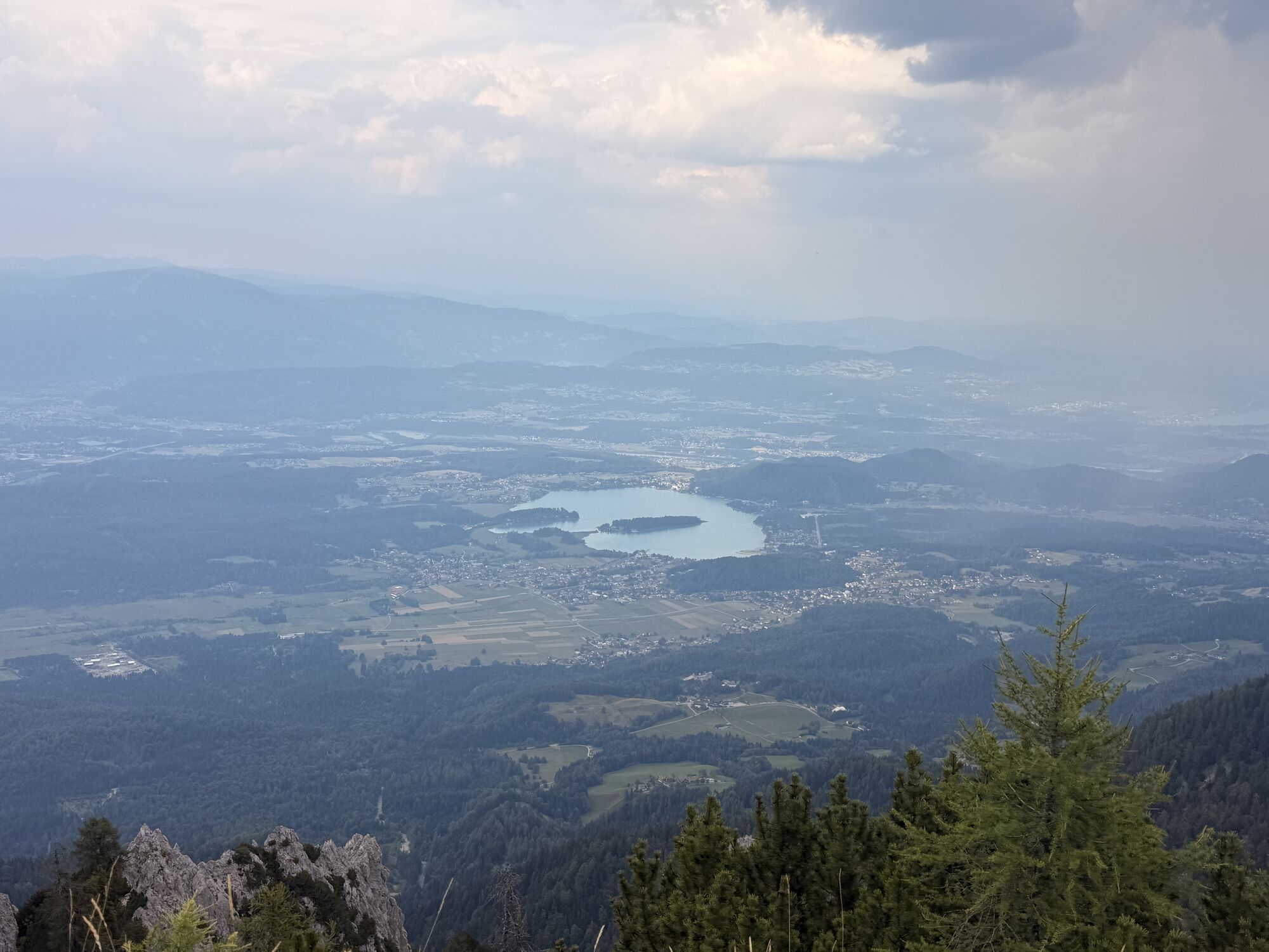
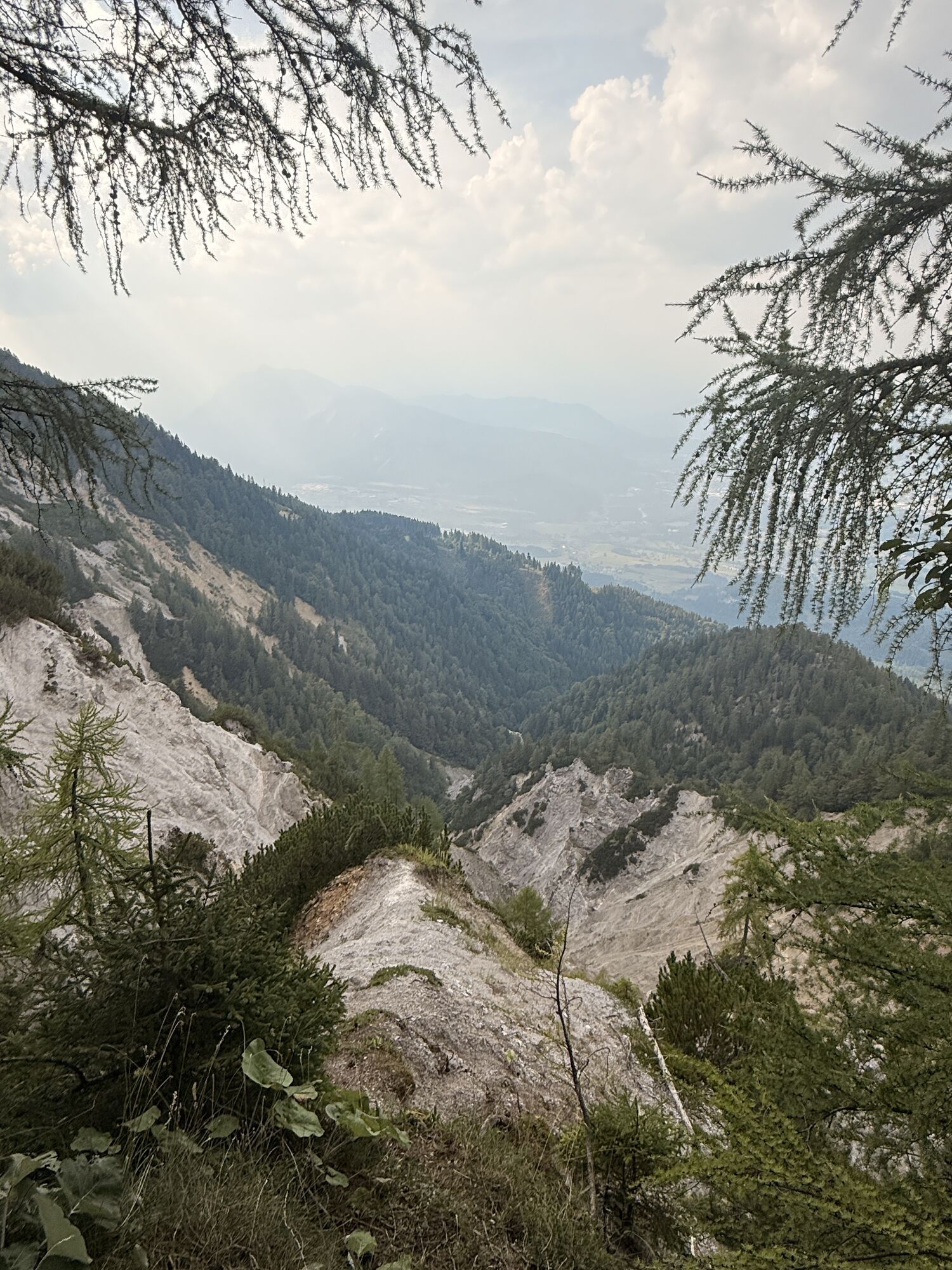
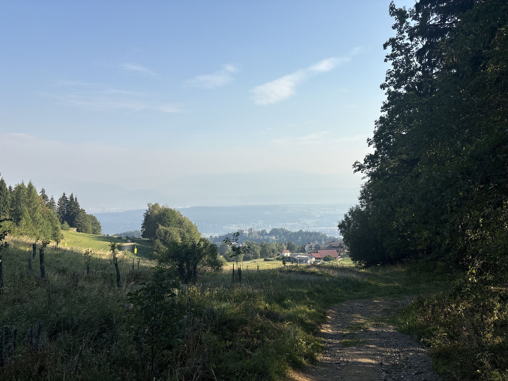
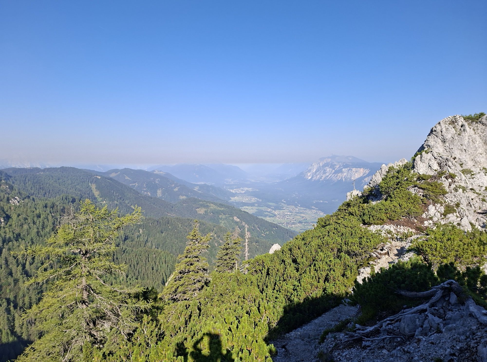
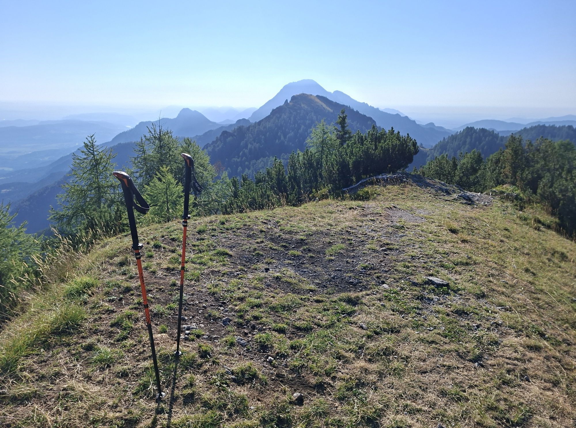
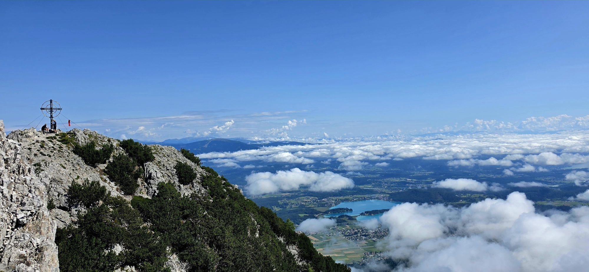
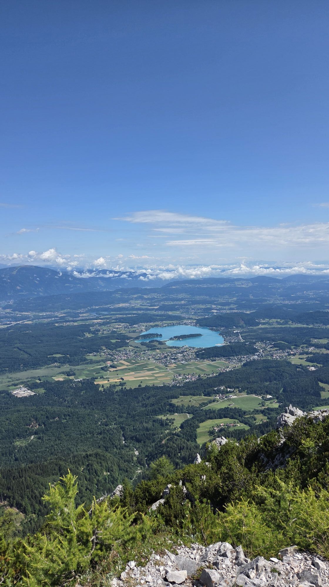
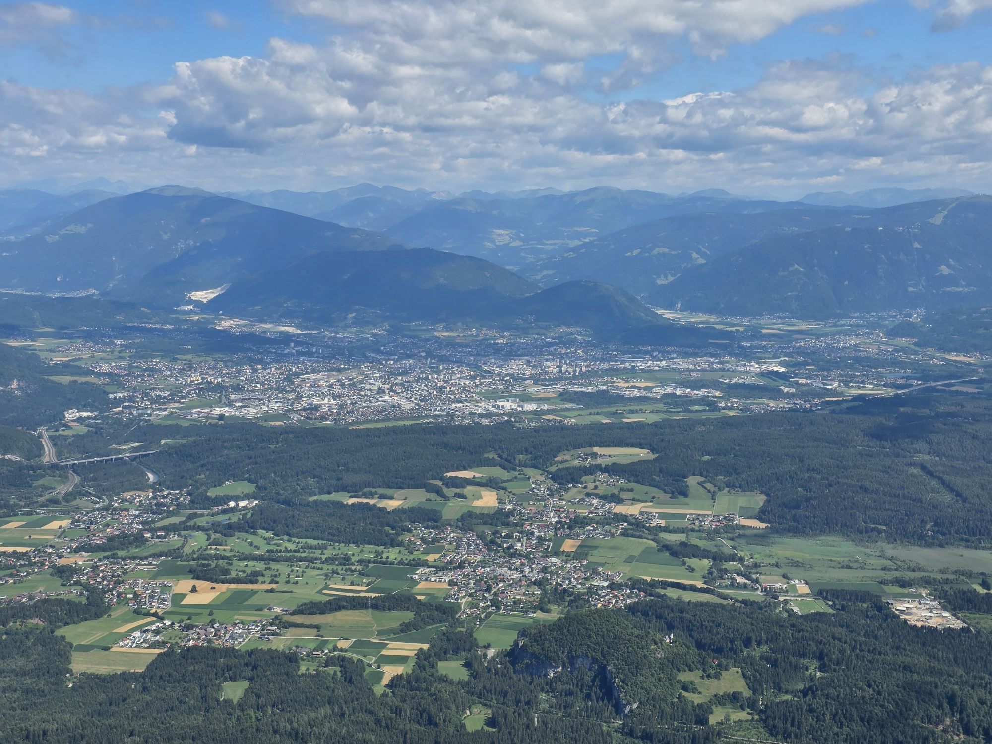
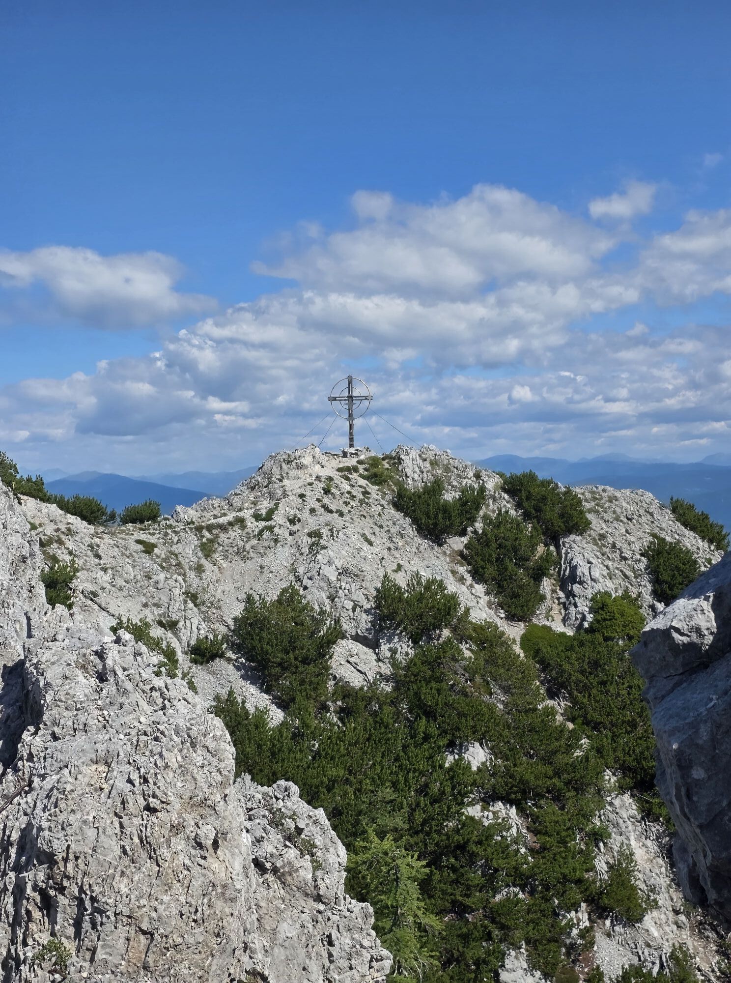
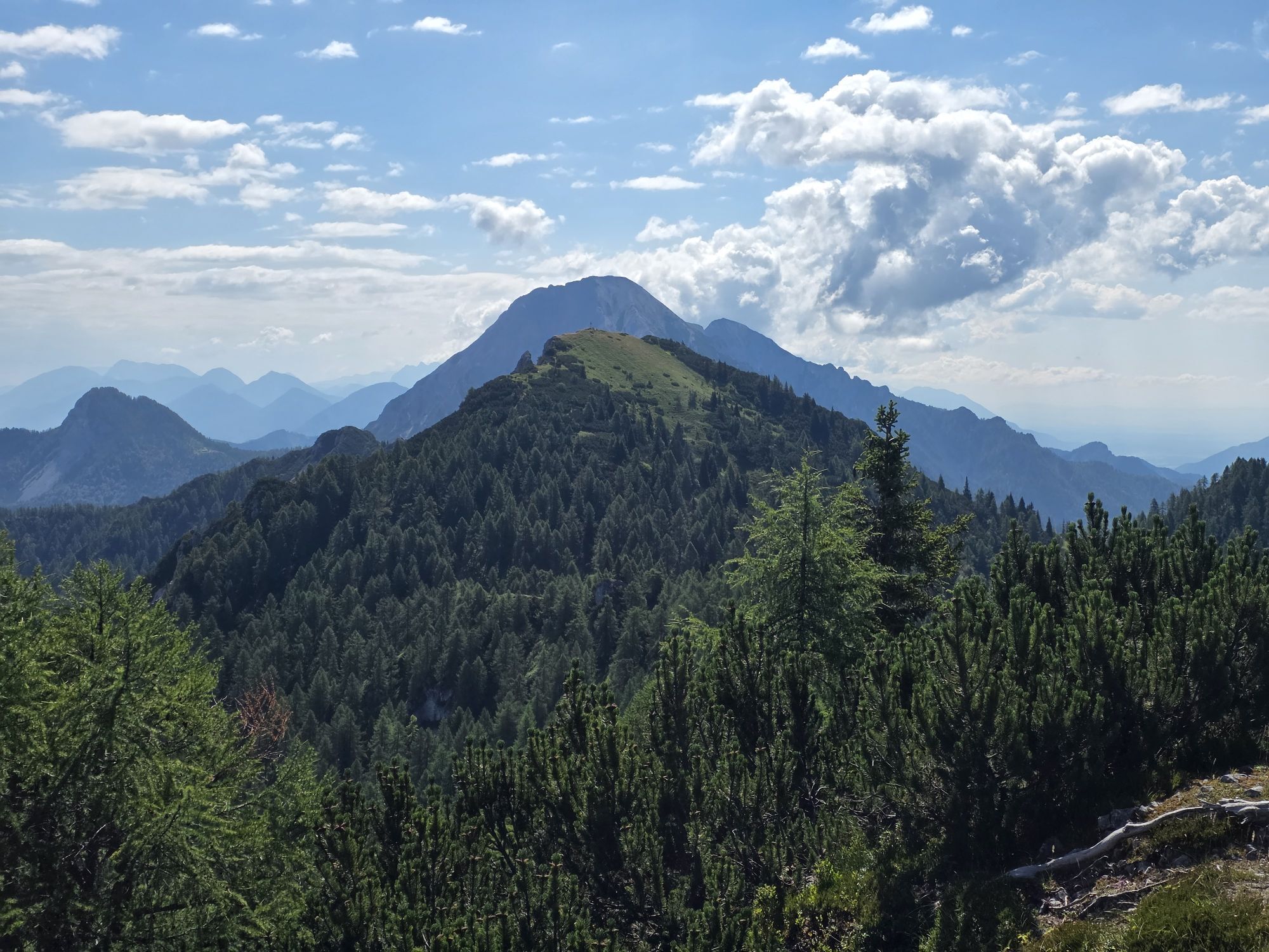
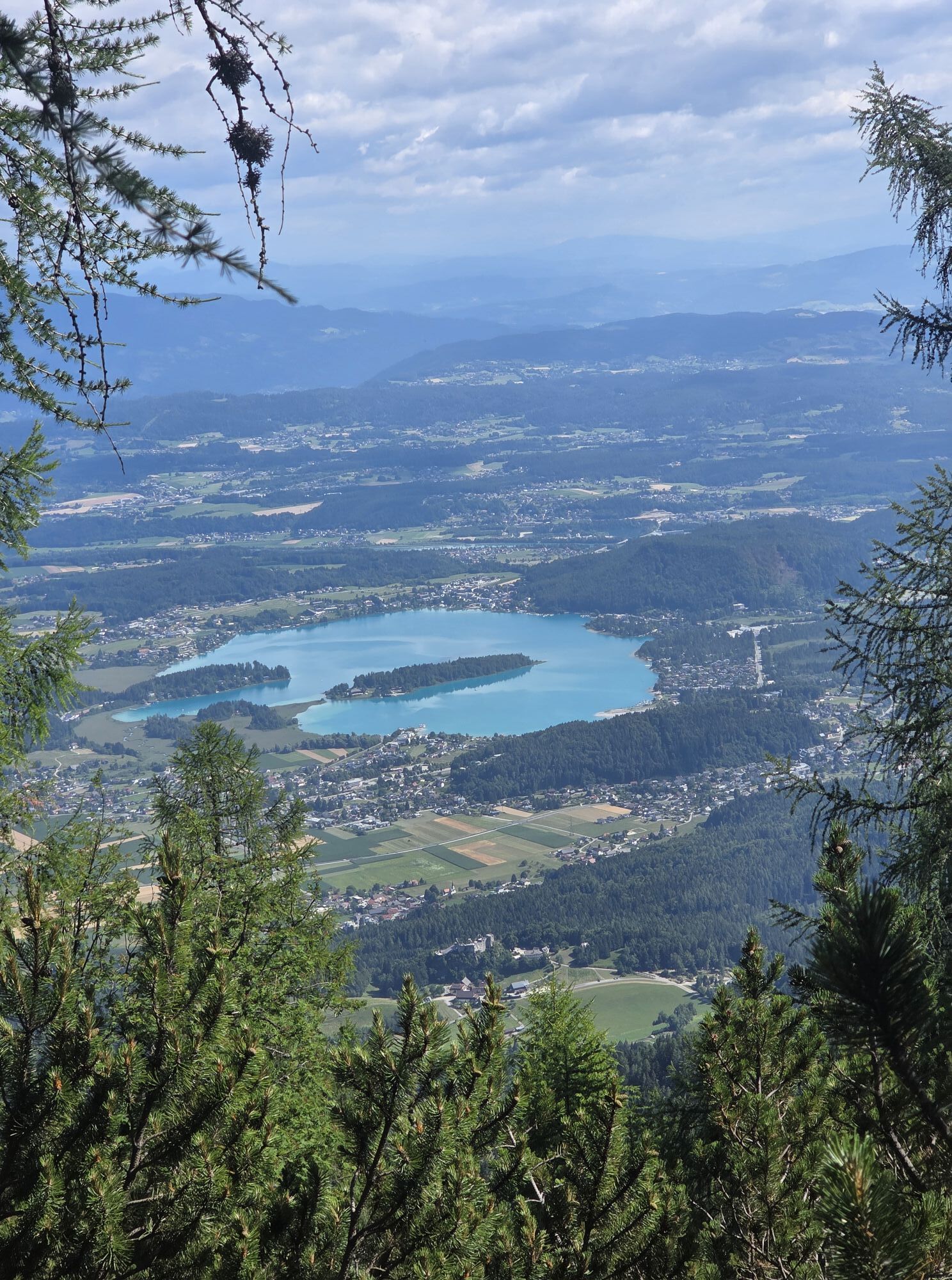
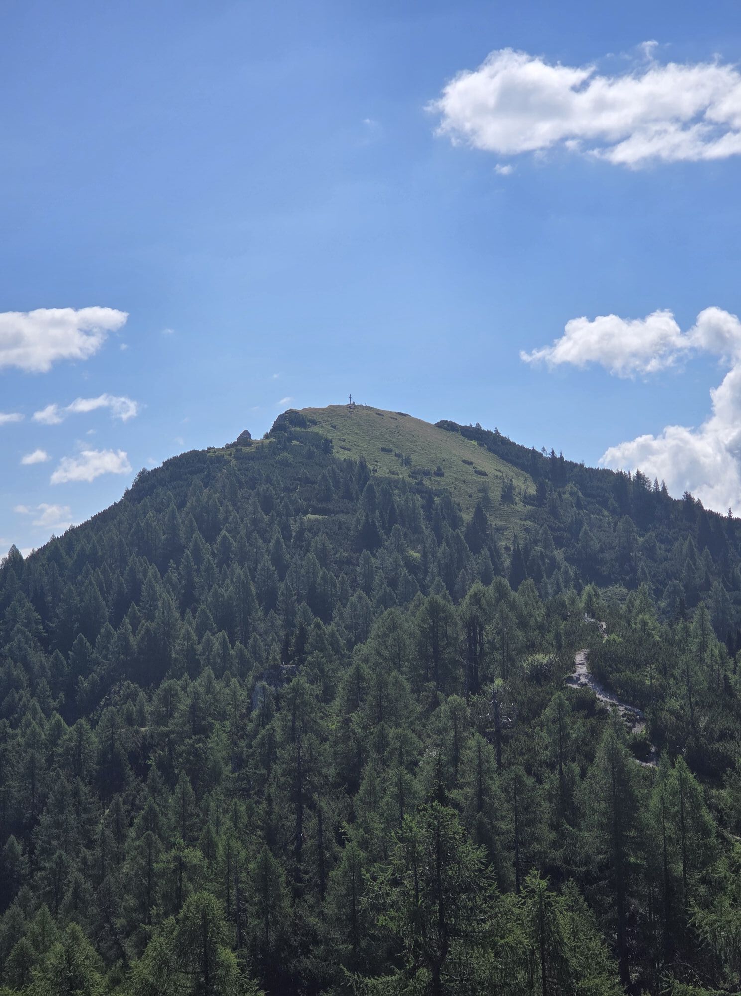
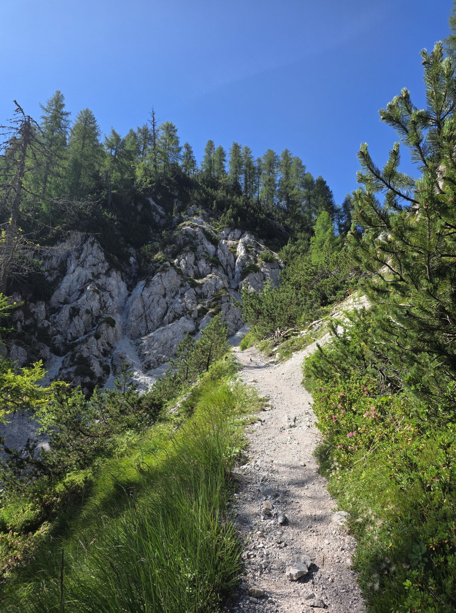
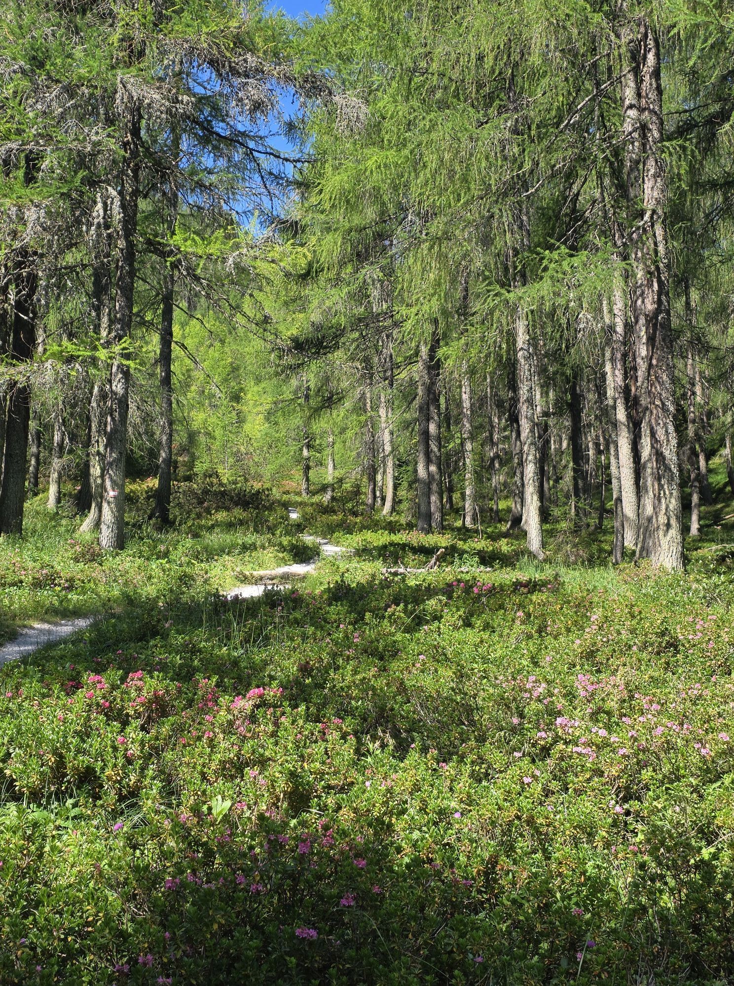
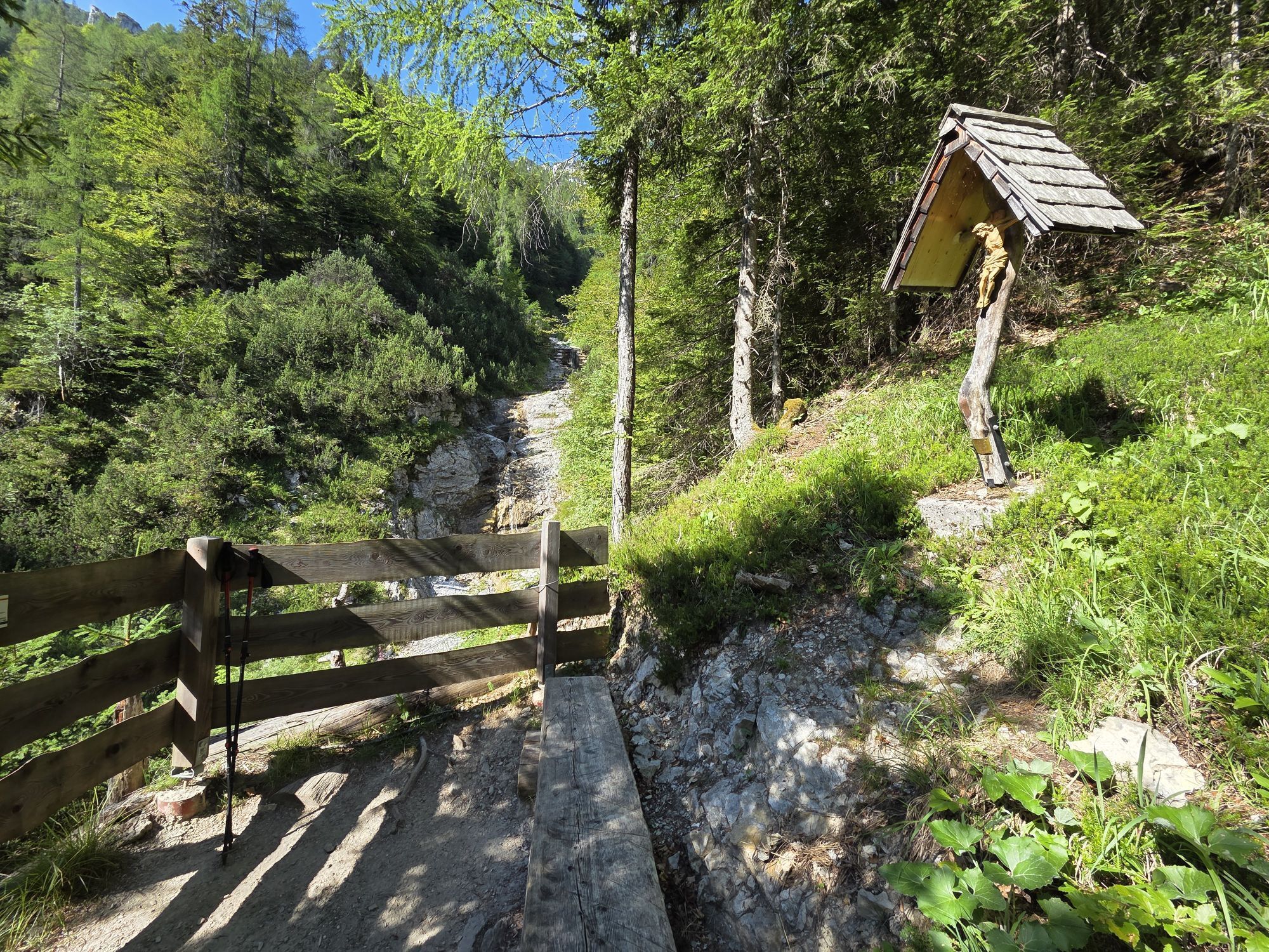
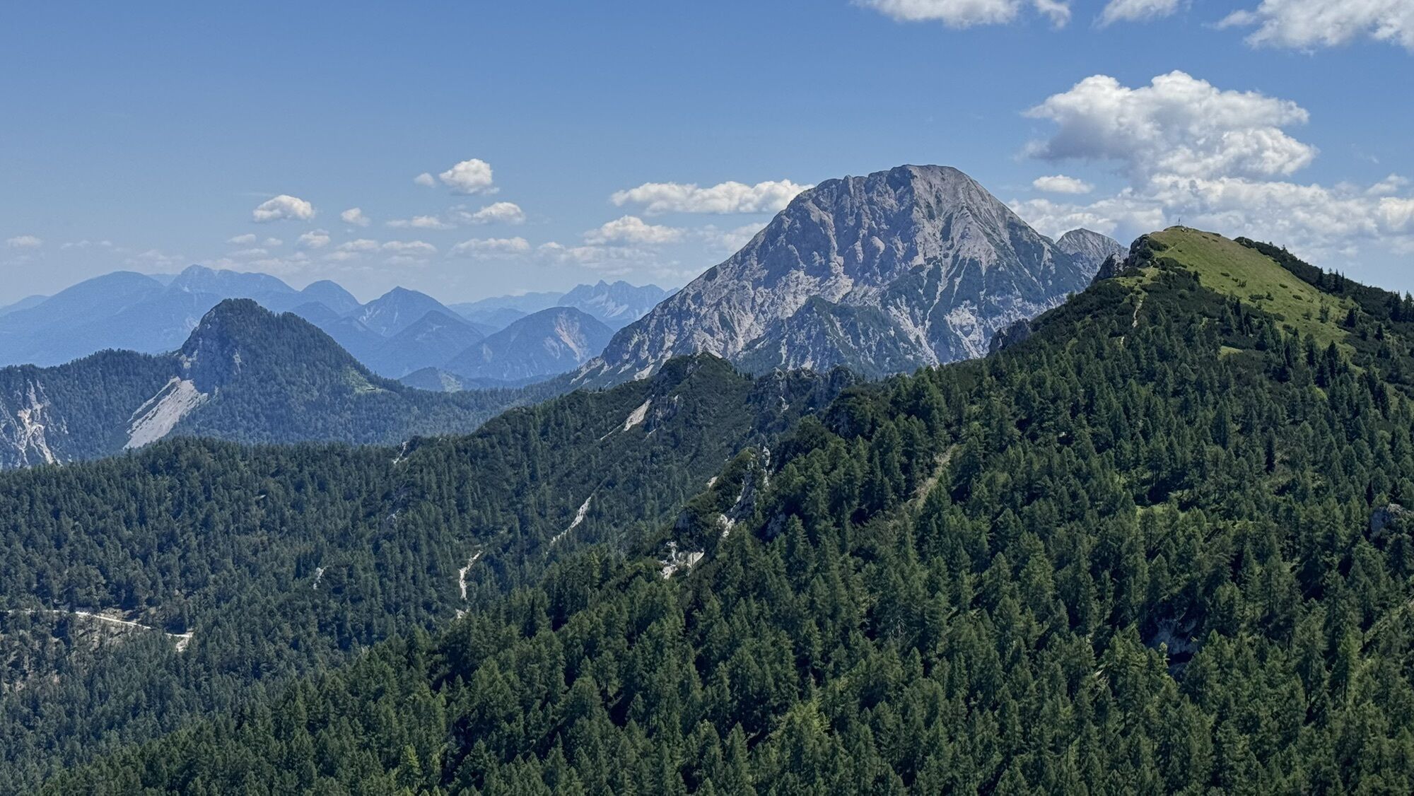
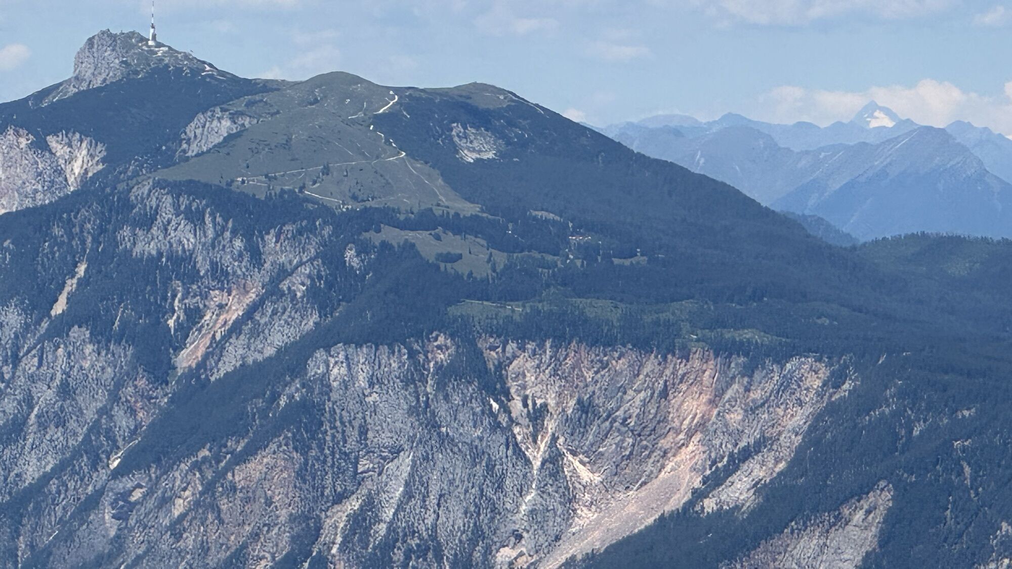
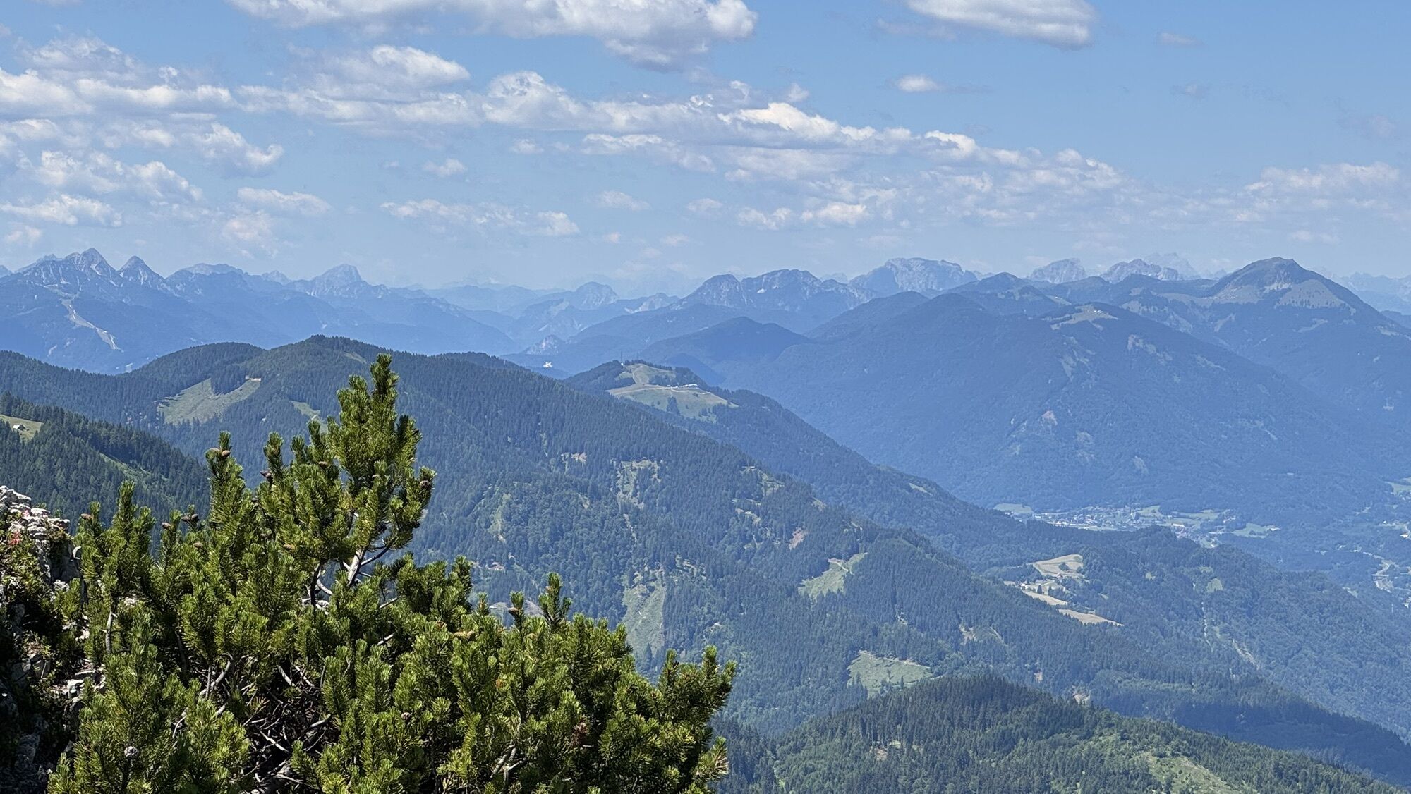
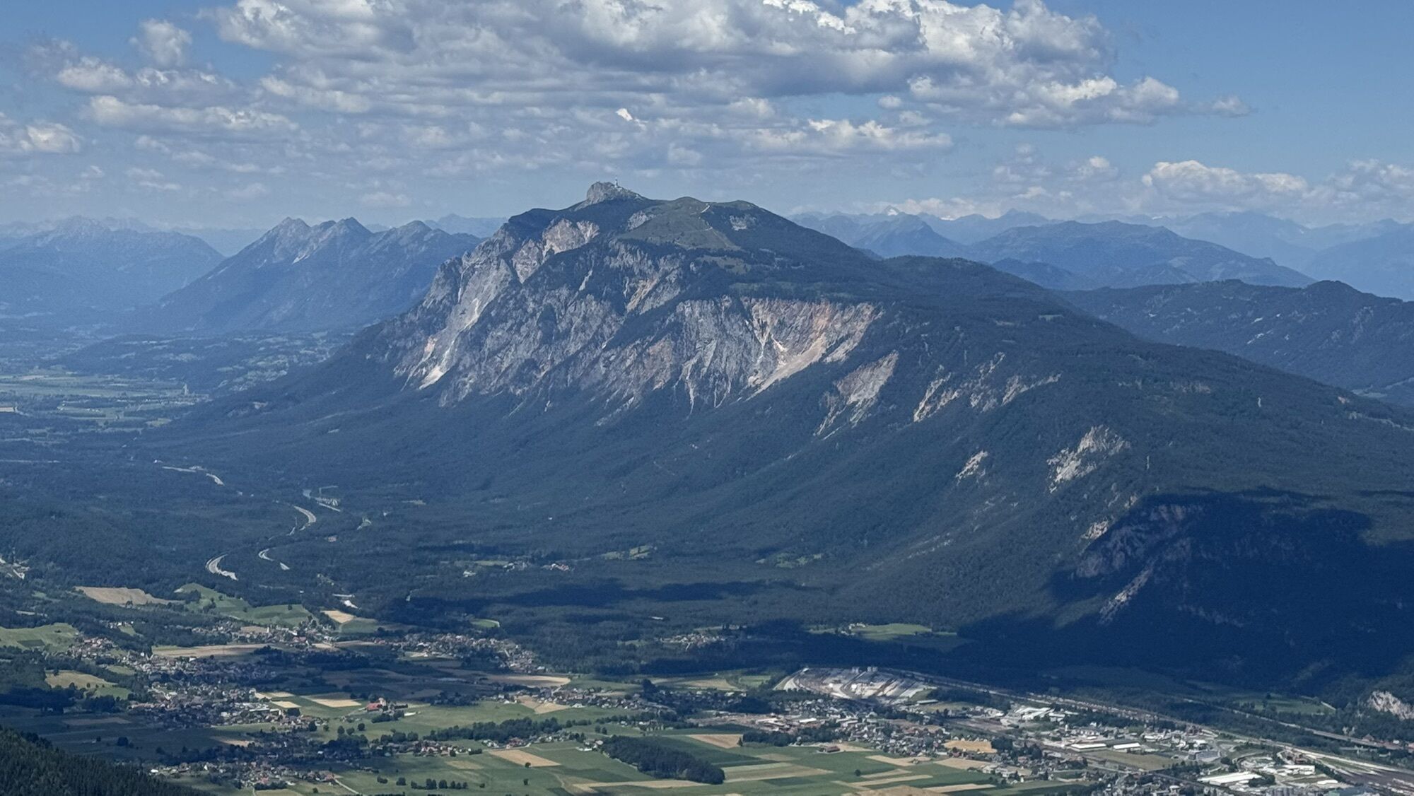
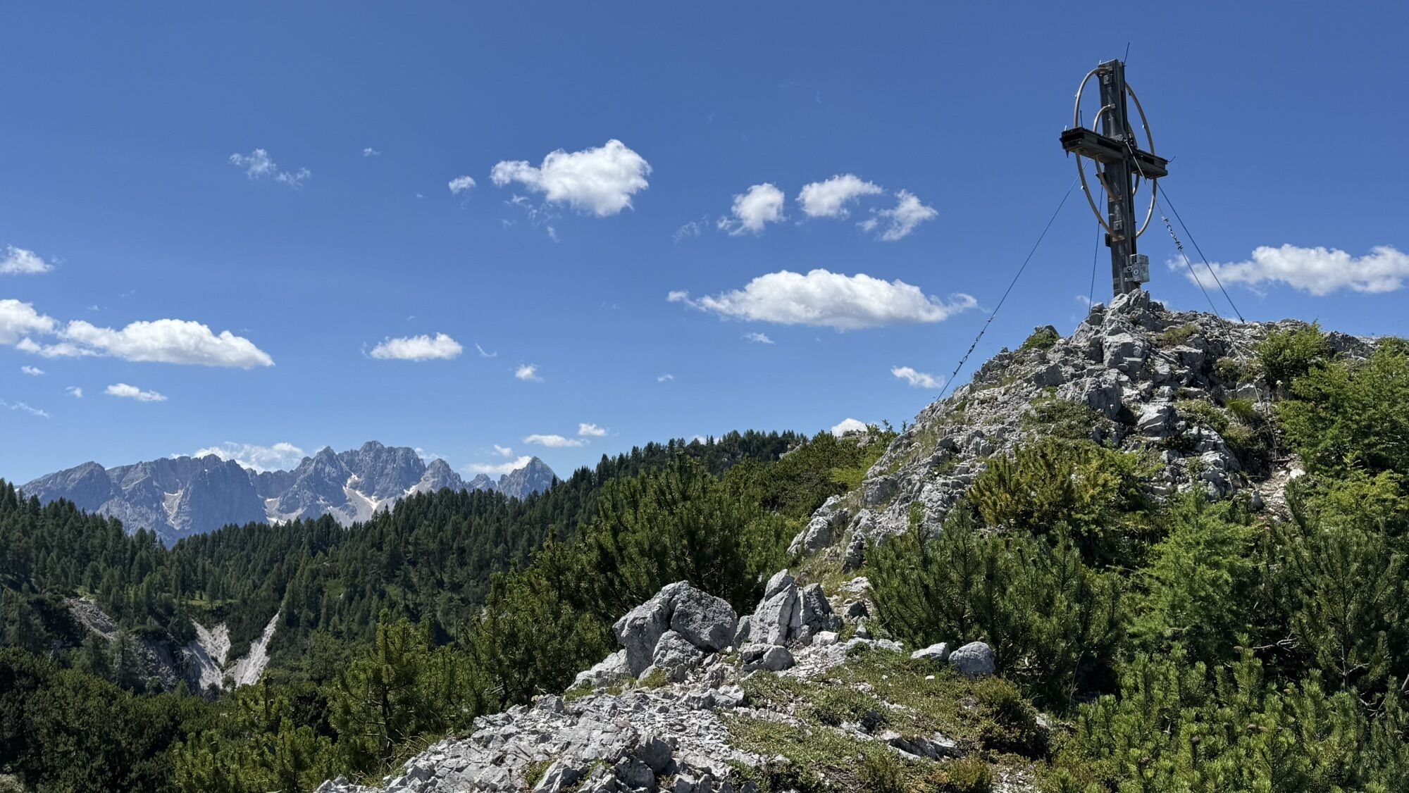
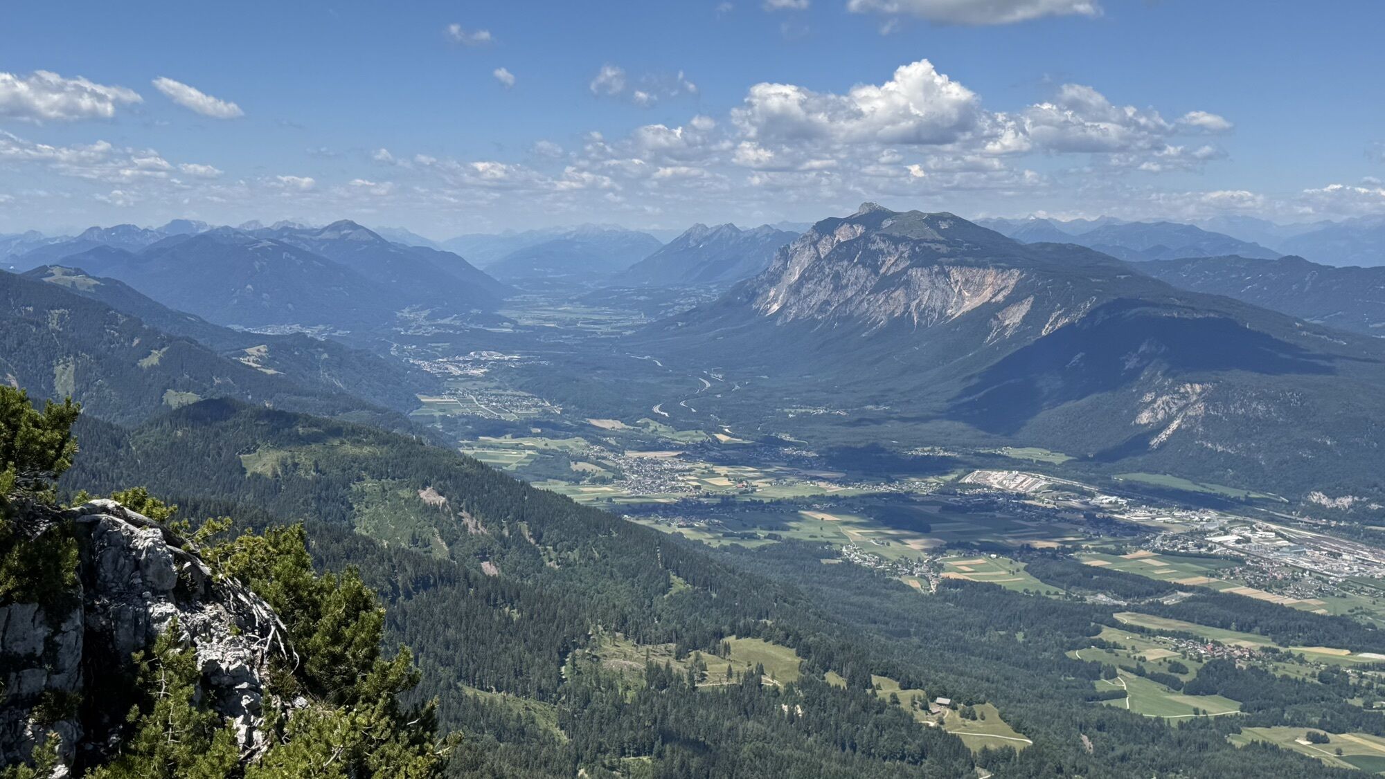
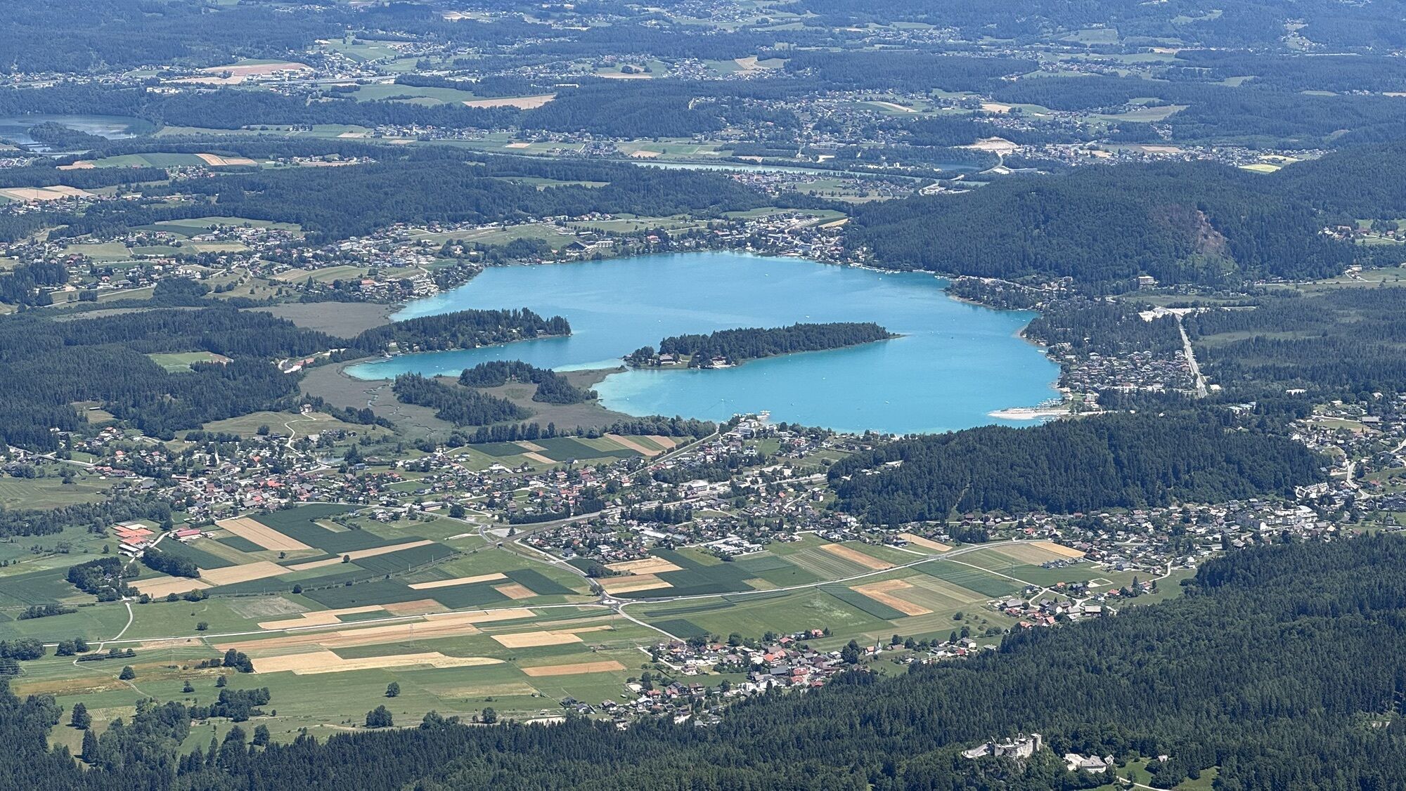
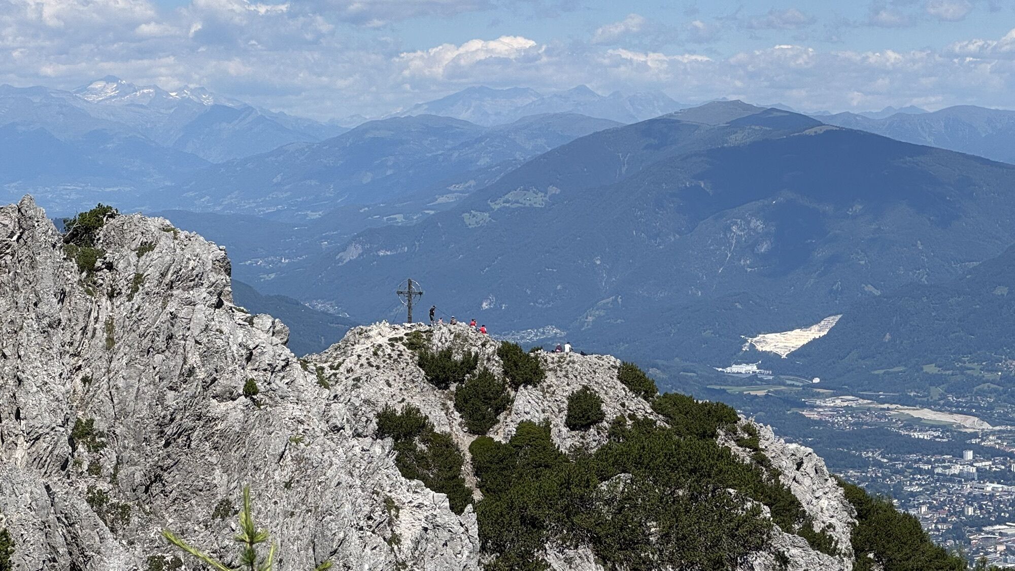
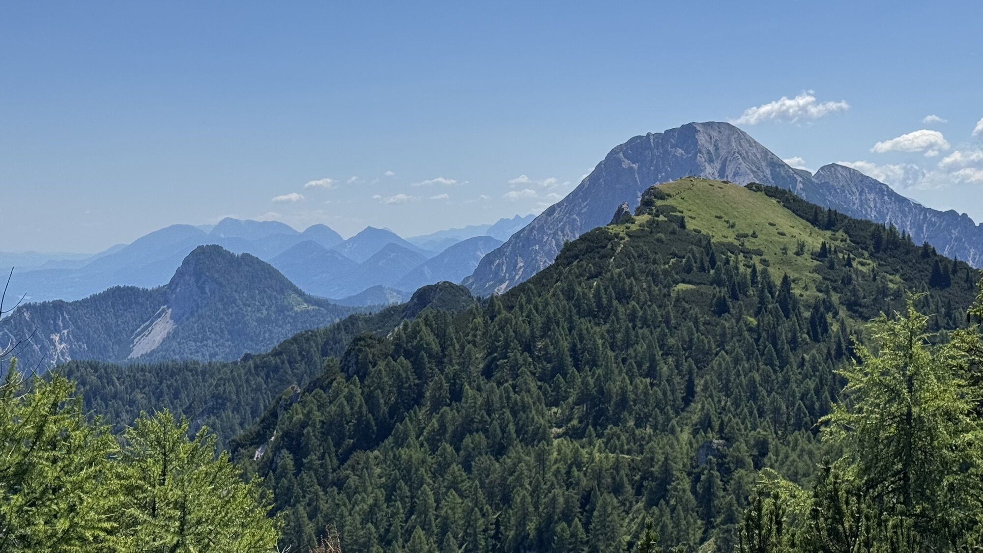
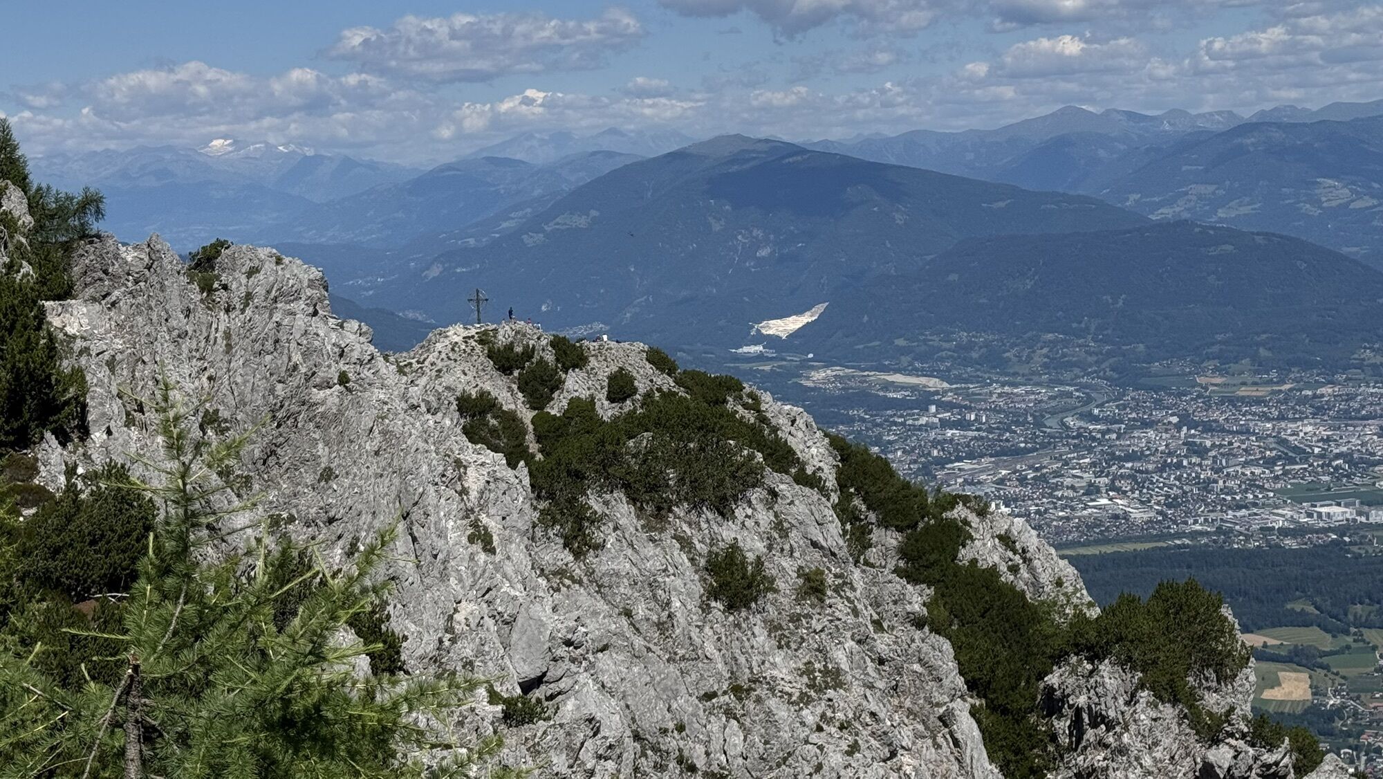
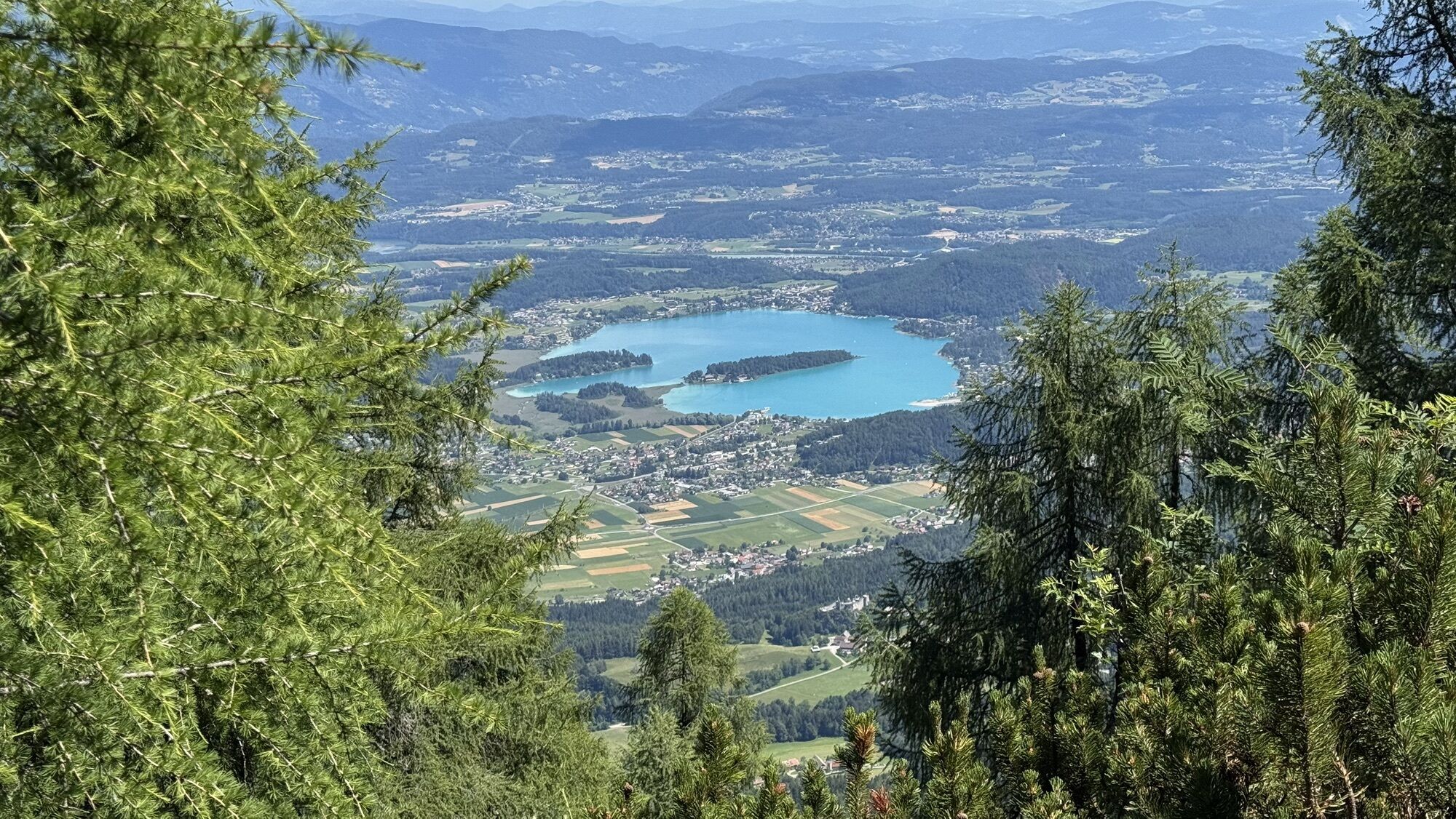
The ascent to Mallestiger Mittagskogel is a very popular half-day route among locals, which leads over the historic customs officer path to the summit in the last section.
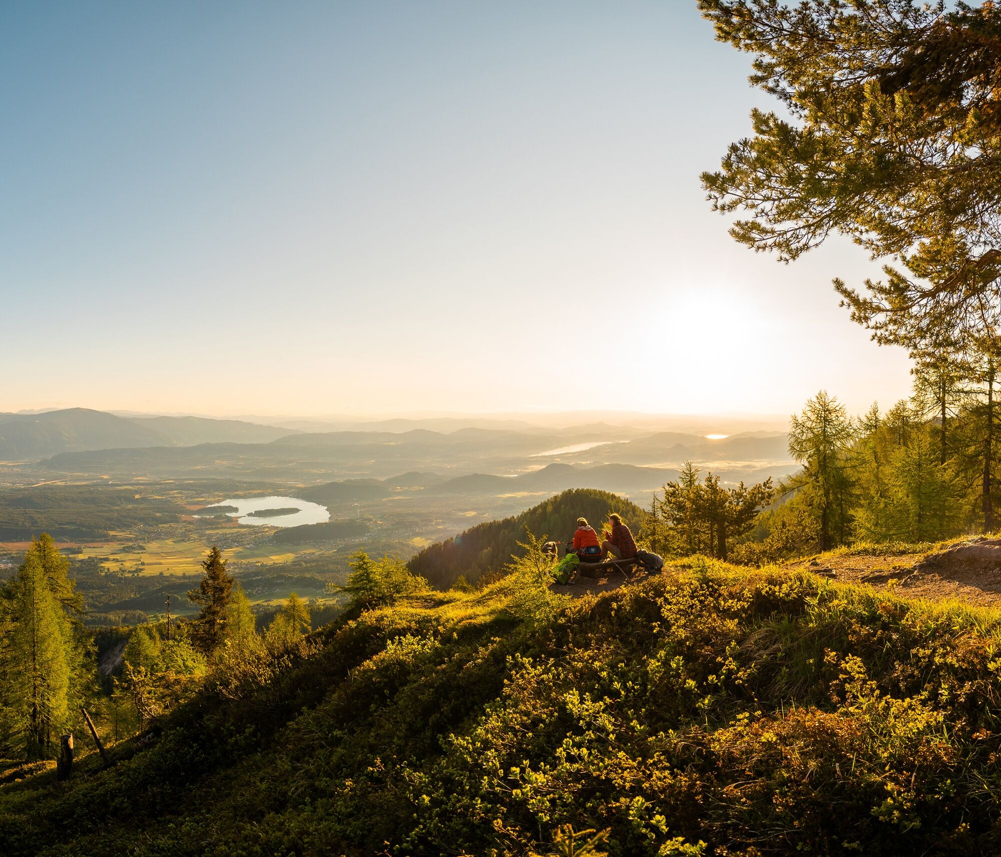
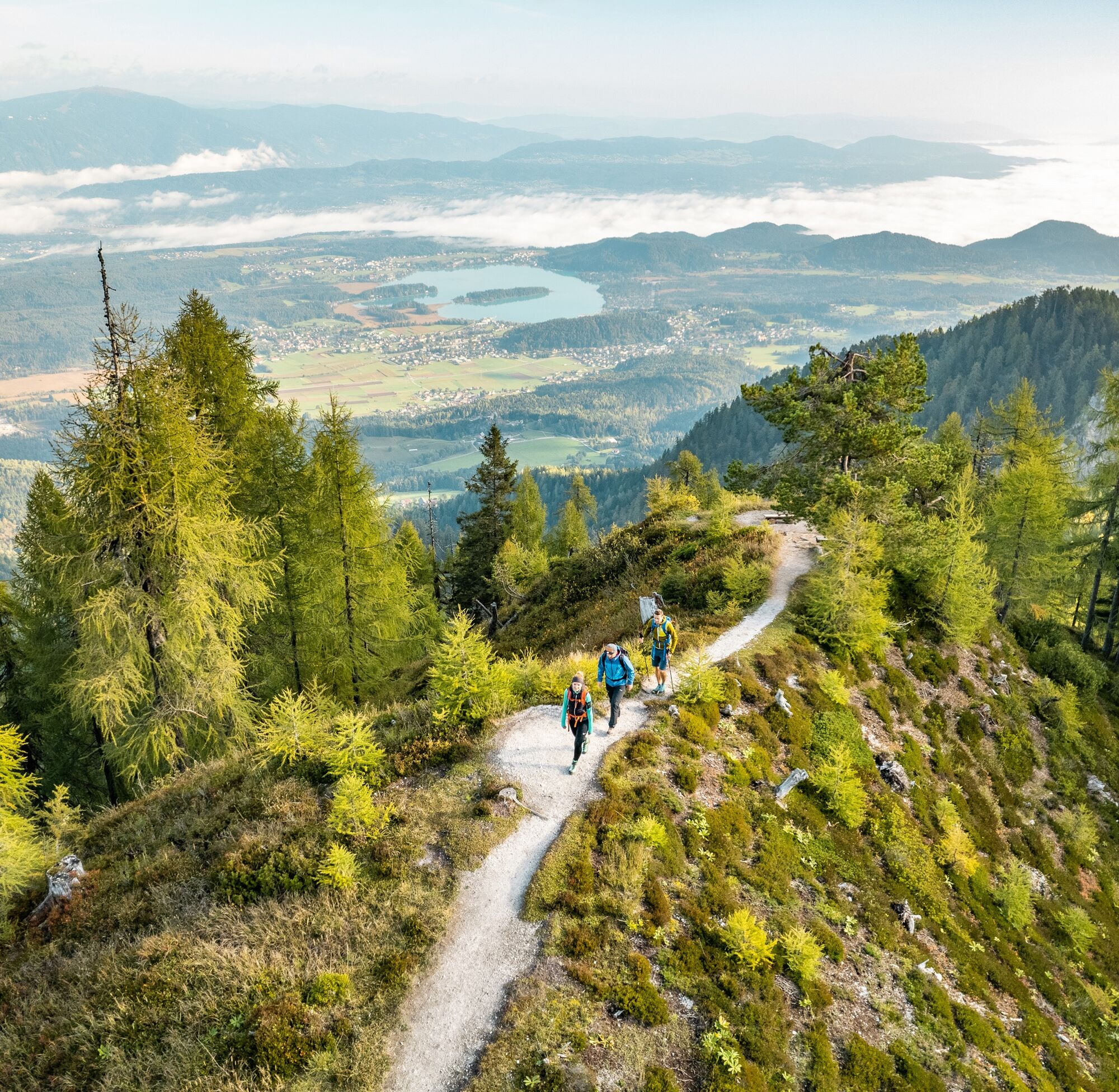

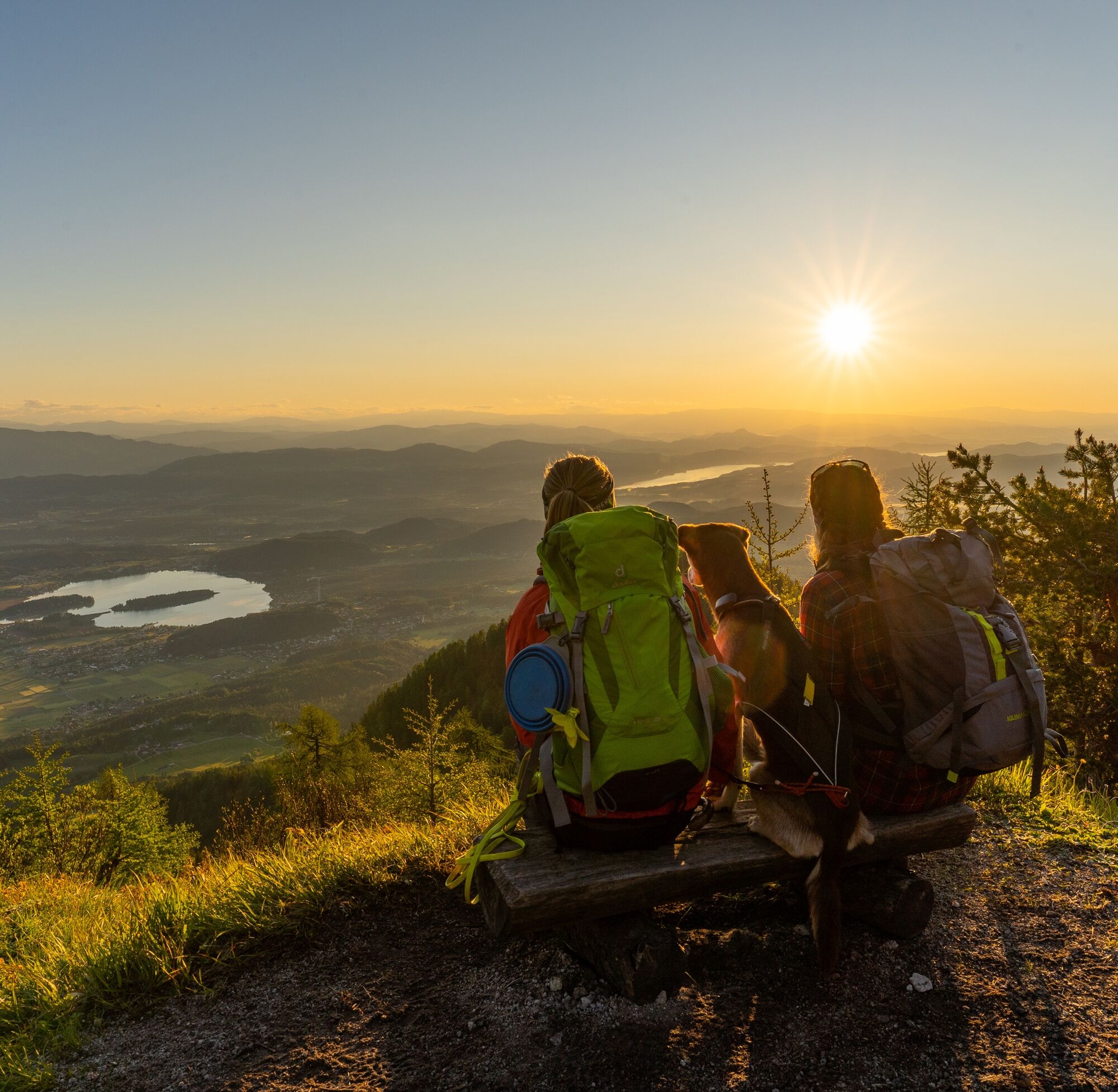

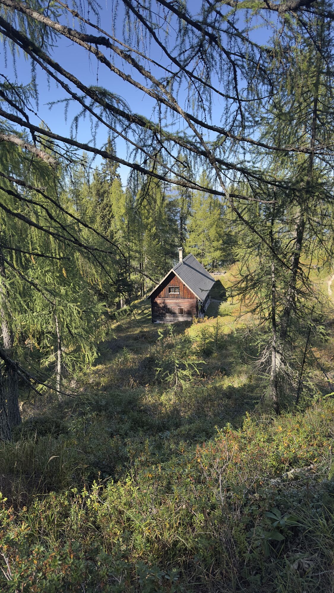
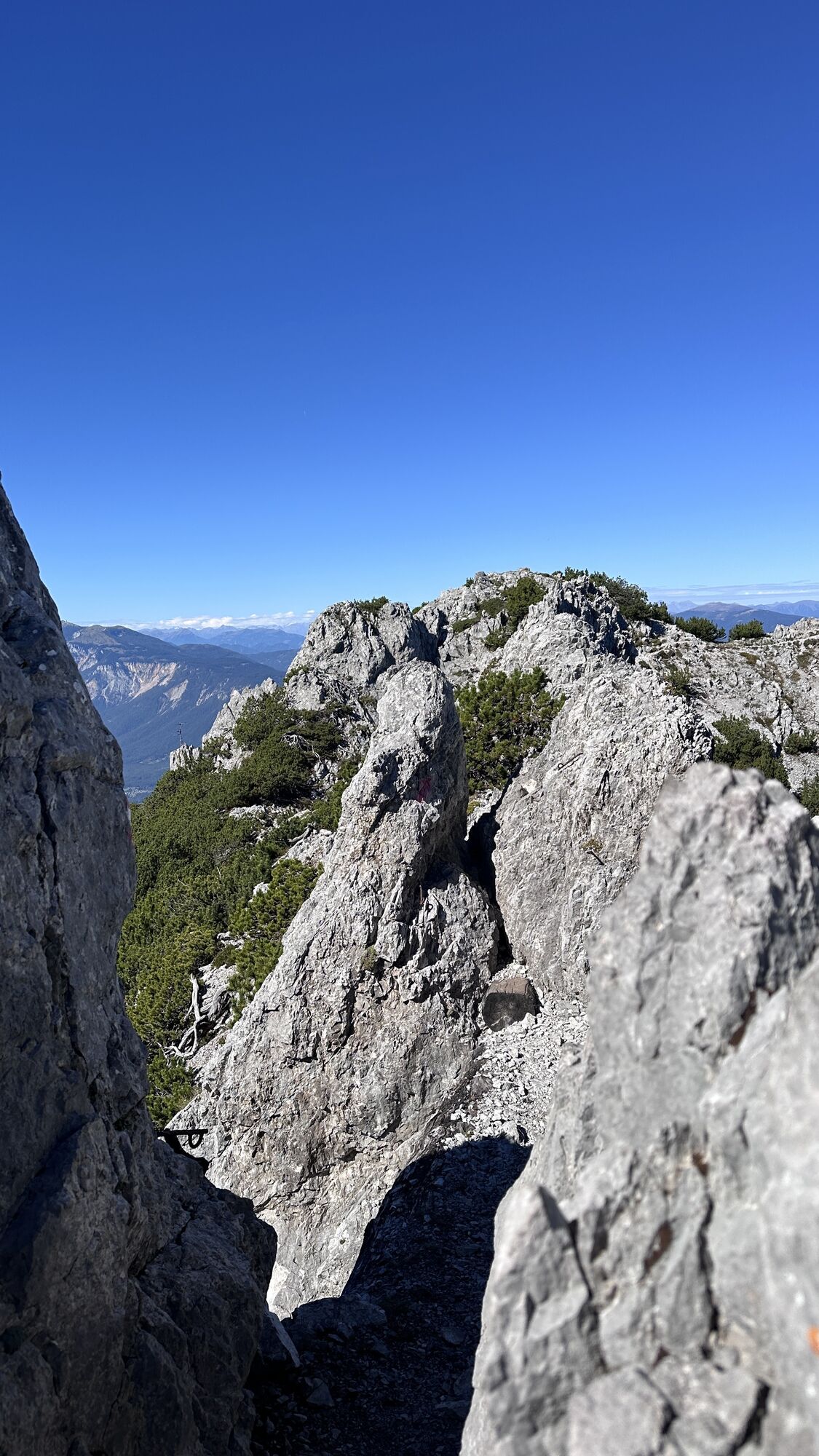
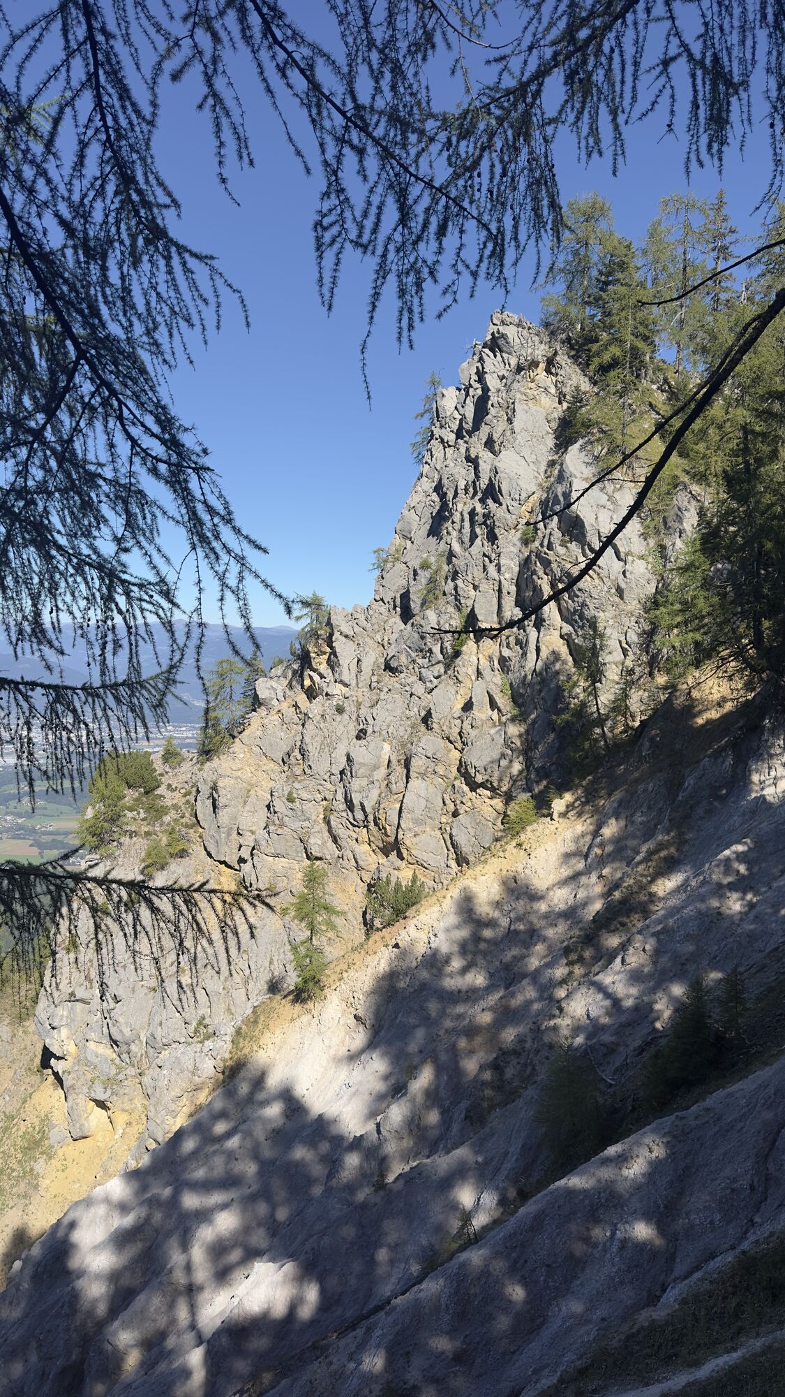
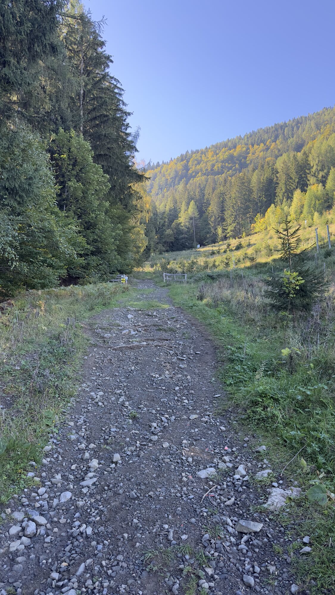
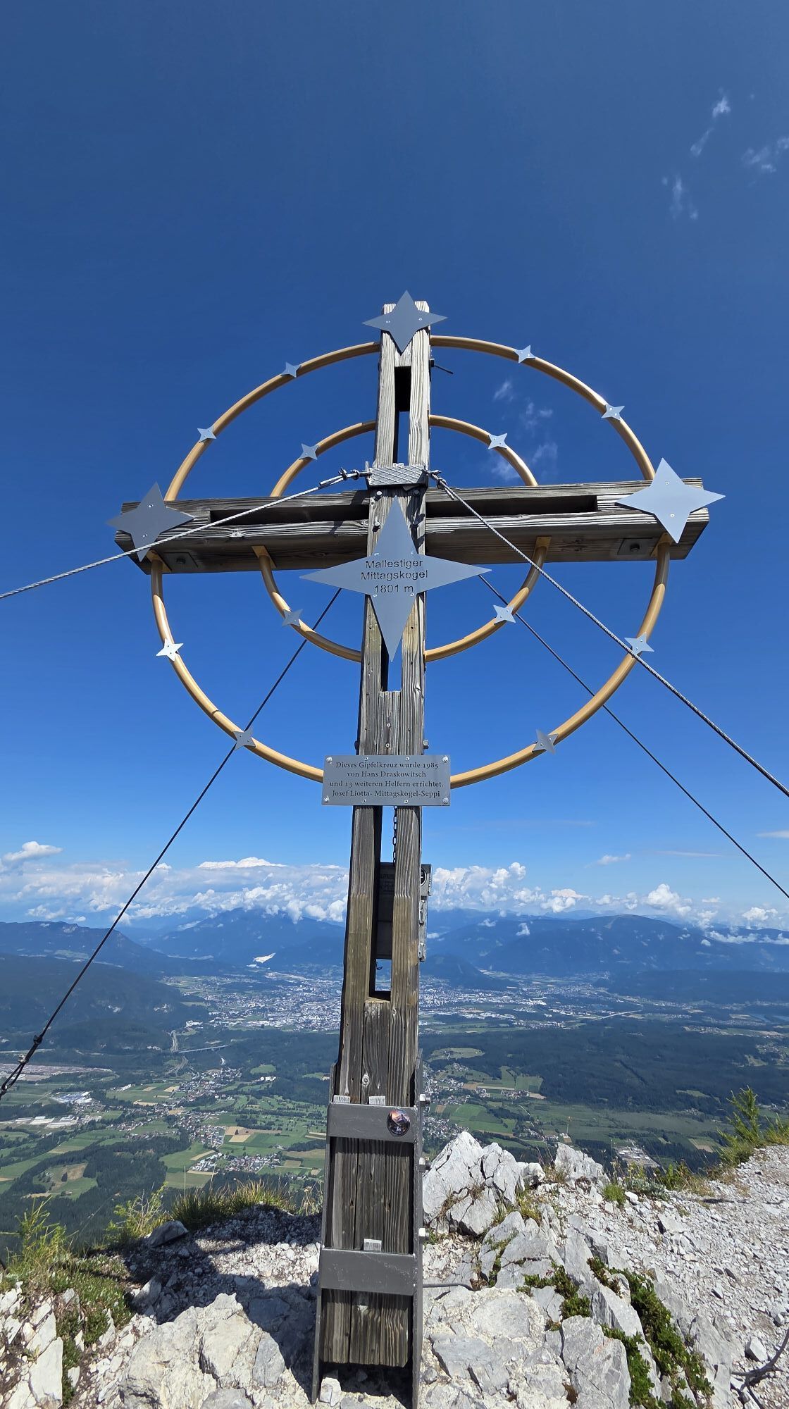
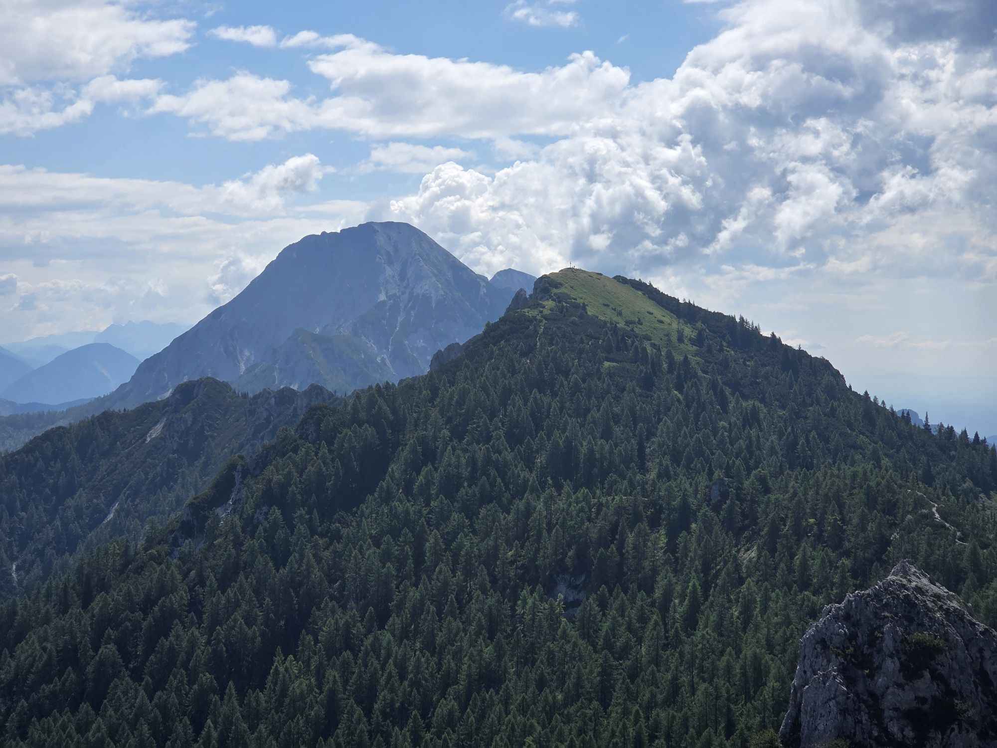
Starting from the Gasthof Baumgartner, follow path 683. You will pass by two springs and reach the first hut - the "Panier Hut". After about another 30 minutes, you reach the unmanaged "Mitzl-Moitzl Hut" at 1,639 m. From the Mitzl-Moitzl Hut, you reach the saddle between Schwarzkogel and Mallestiger Mittagskogel directly on the state border in about 15 minutes. From here, follow the varied path 684 westwards to the summit of the Mallestiger Mittagskogel at 1,801 m. The last 30 meters are very exposed and unsecured - you must be sure-footed and absolutely free from vertigo.
The descent follows the same route.
Áno
Áno
Mountaineering boots with profiled soles, backpack, functional underwear, rainwear, trekking poles, food and drink, maps, first aid kit, and mobile phone.
At the Mitzl-Moitzl Hut, there is an emergency shelter under the roof. This is accessible from the outside.
From the A2 motorway exit Villach - Faaker See, take B84 towards Drobollach am Faaker See. In Drobollach, turn towards Faak am See and follow the road Kohlstattstraße/Seeufer-Landesstraße to Faak am See. After the tourist information Faak am See, turn right towards Finkenstein and at the roundabout (Harley Davidson sculpture), take the third exit to Latschach. In Latschach, shortly after entering the village, turn right into Altfinkensteiner Straße and follow the road to Baumgartnerhof.
After registration the day before (until 6 pm), a more comfortable arrival (Villach main station - Baumgartnerhof) with the Carinthia station shuttle is also possible. By public transport, only Faak am See is reachable at regular intervals.
There are some parking spaces at the Baumgartnerhof parking lot; alternatively, the "Burgarena Finkenstein" parking lot is also possible. Walking time increases by about 30 minutes.
From the saddle, the ascent to Schwarzkogel (Crni vrh) 1,832 m is also possible as an extension of the presented route or as an independent route.


Webové kamery z prehliadky

Aktivity počas prehliadky
-

Finkenstein am Faaker See, Kärnten/Österreich
26.09.2026 – Turistika -

Finkenstein am Faaker See, Kärnten/Österreich
26.09.2026 – Turistika -

Finkenstein am Faaker See, Kärnten/Österreich Malestiger Mittahskogel
25.09.2026 – Horská turistika -

Finkenstein am Faaker See, Kärnten/Österreich
20.09.2026 – Turistika -

Finkenstein am Faaker See, Kärnten/Österreich
15.09.2026 – Turistika -

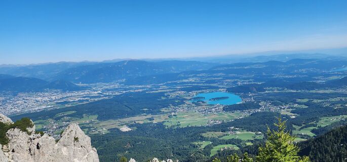
Malestiger Mittagskogel, Heli Ilse Gerhard
07.09.2026 – Turistika -
Finkenstein am Faaker See, Kärnten/Österreich
29.08.2026 – Turistika -

Bezirk Villach-Land, Kärnten/Österreich
22.08.2026 – Turistika -

Finkenstein am Faaker See, Kärnten/Österreich
22.08.2026 – Horská turistika -

Finkenstein am Faaker See Wandern
22.08.2026 – Horská turistika -
Finkenstein am Faaker See, Kärnten/Österreich
22.08.2026 – Turistika -

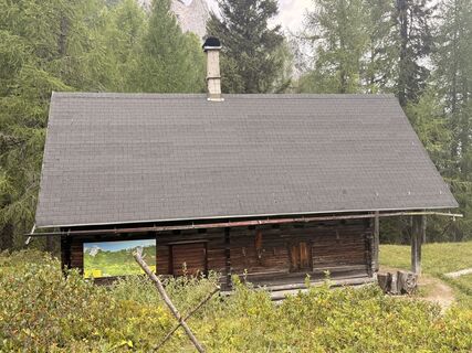
Mallestiger Mittagskogel
16.08.2026 – Horská turistika -

Finkenstein am Faaker See, Kärnten/Österreich
16.08.2026 – Turistika -
Finkenstein am Faaker See, Kärnten/Österreich
08.08.2026 – Turistika -

Finkenstein am Faaker See, Kärnten/Österreich
14.07.2026 – Turistika -
Finkenstein am Faaker See, Carinthia/Austria
05.07.2026 – Turistika -
Mallestiger Mittagskogel, Slowenien
05.07.2026 – Turistika -
Finkenstein am Faaker See
02.07.2026 – Turistika -

Finkenstein am Faaker See Pohodništvo
20.06.2026 – Horská turistika -

Finkenstein am Faaker See, Kärnten/Österreich
20.06.2026 – Turistika
Obľúbené výlety v okolí
-
4,4
Mittagskogel - Rundwanderung
ťažkéTuristika 14,5 km -
4,8
Schwarzkogel-Runde über Jepzasattel Schwarzkogel, Mallestiger Mittagskogel
strednáTuristika 13,4 km -
4,3
Lake circular trail
svetloNordic Walking 9,85 km -
4,7
Rotschitza Klamm Klettersteig B/C
strednáVia ferrata 3,73 km -
4,7
Baumgtn. Höhe, Mallestiger Mittags- und Schwarzkogel
ťažkéZimná turistika 10,7 km -
4,9
Gratschenitzen Kreuz
ťažkéVysoké turné 3 km -
4,4
Krnica Hut
strednáTuristika 14,9 km -
4,4
Kopein, Bertahütte, Ferlacher Spitz (29)
strednáZimná turistika 12,8 km -
4,6
Mallestiger Mittagskogel
strednáTuristika 11,6 km -
4,5
Oswaldiberg St.Ruprecht
strednáTuristika 6,69 km
Turistika a stopovanie


Nenechajte si ujsť ponuky a inšpiráciu na ďalšiu dovolenku
Vaša e-mailová adresa bol pridaný do poštového zoznamu.





