


Dobratsch - west ascent


Fotografie našich používateľov
-
 © derScheifeVytvorené dňa 21.02.2023
 -
 © derScheifeVytvorené dňa 21.02.2023
 -
 © Sabine FritzerVytvorené dňa 01.11.2022
 -
 © Daniel BöhmVytvorené dňa 27.09.2025
 -
 © Jakob MaschindaVytvorené dňa 14.09.2025
 -
 © Jakob MaschindaVytvorené dňa 14.09.2025
 -
 © Thomas Michalek 1Vytvorené dňa 07.09.2025
 -
 © Thomas Michalek 1Vytvorené dňa 07.09.2025
 -
 © Thomas Michalek 1Vytvorené dňa 07.09.2025
 -

 © Florian DürneggerVytvorené dňa 15.08.2025
 -
 © Florian DürneggerVytvorené dňa 15.08.2025
 -
 © Florian DürneggerVytvorené dňa 15.08.2025
 -
 © Florian DürneggerVytvorené dňa 15.08.2025
 -
 © Florian DürneggerVytvorené dňa 15.08.2025
 -
 © Florian DürneggerVytvorené dňa 15.08.2025
 -
 © Florian DürneggerVytvorené dňa 15.08.2025
 -
 © Florian DürneggerVytvorené dňa 15.08.2025
 -
 © Florian DürneggerVytvorené dňa 15.08.2025
 -
 © Florian DürneggerVytvorené dňa 15.08.2025
 -
 © Florian DürneggerVytvorené dňa 15.08.2025
 -
 © Florian DürneggerVytvorené dňa 15.08.2025
 -
 © Florian DürneggerVytvorené dňa 15.08.2025
 -
 © ghbertholdVytvorené dňa 18.07.2025
 -
 © Michael 84Vytvorené dňa 13.07.2025
 -
 © lisale1967Vytvorené dňa 04.05.2025
 -

 © ScubaVytvorené dňa 12.04.2025
 -

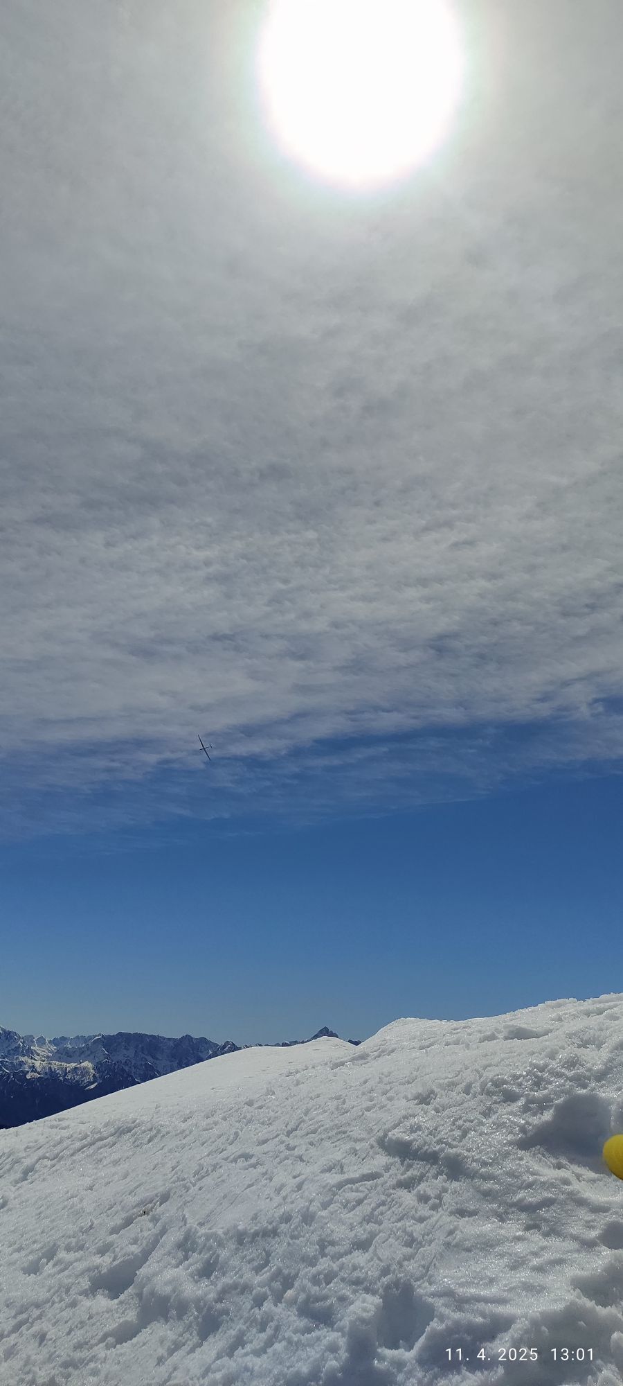
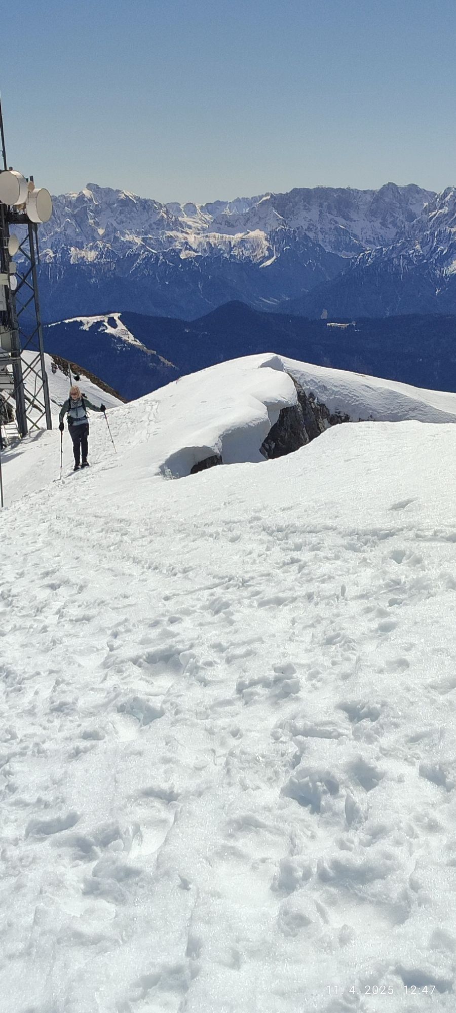
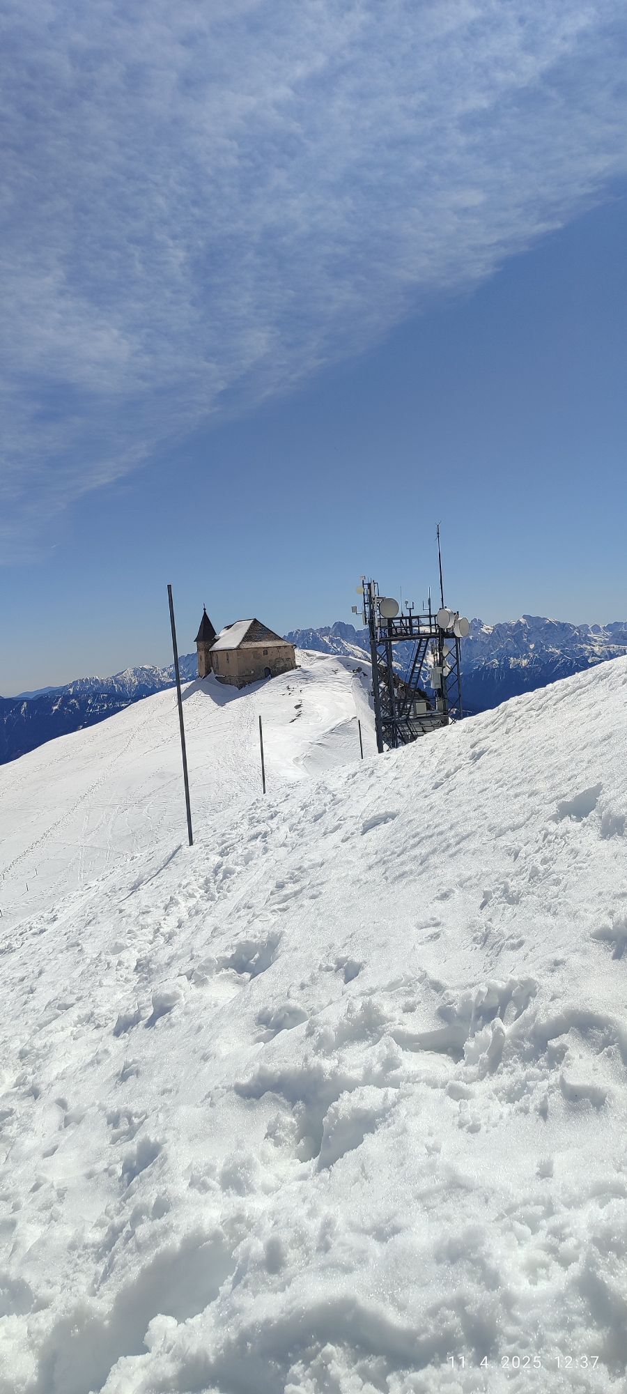
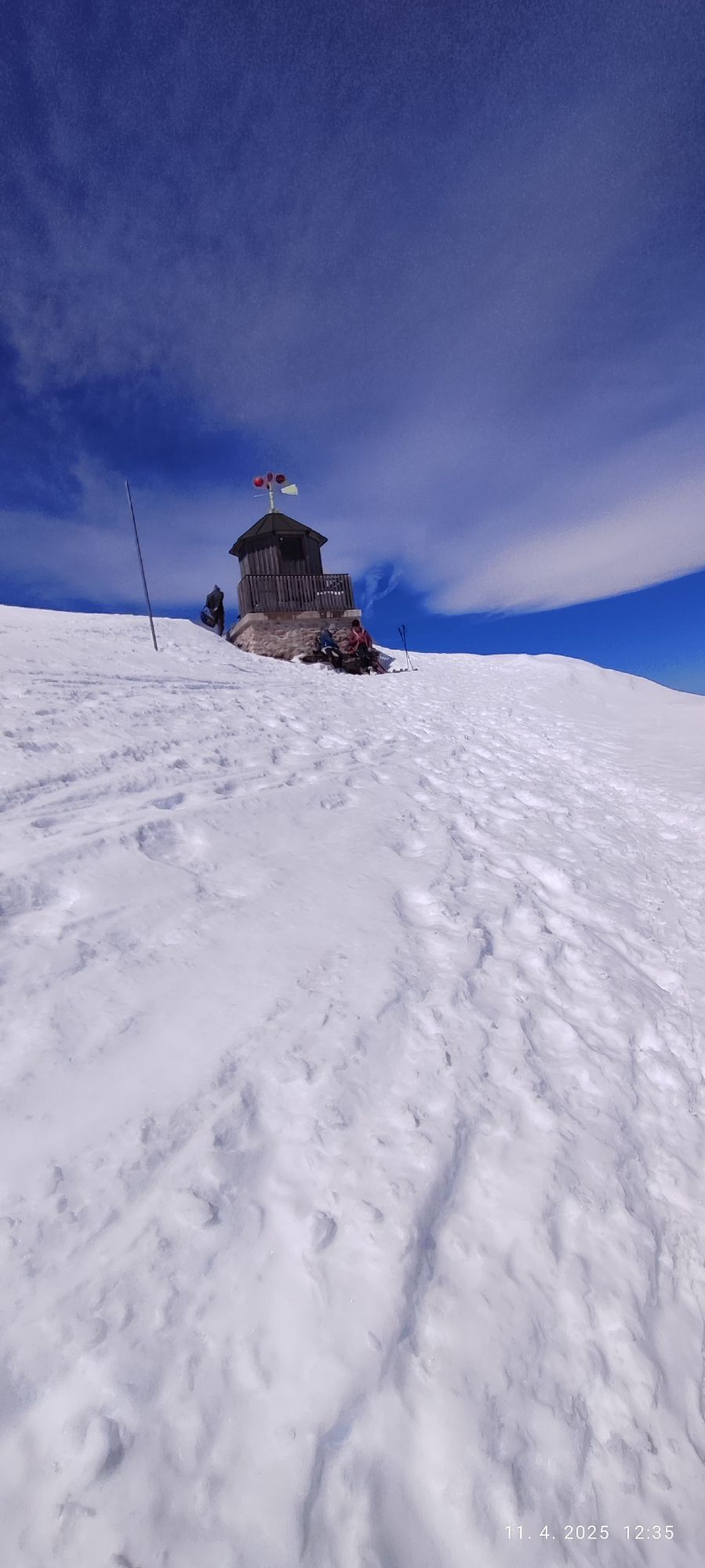
 © Jožica UršičVytvorené dňa 11.04.2025
 -
 © Jožica UršičVytvorené dňa 11.04.2025
 -
 © Jožica UršičVytvorené dňa 11.04.2025
 -
 © Jožica UršičVytvorené dňa 11.04.2025
 -
 © Jožica UršičVytvorené dňa 11.04.2025
 -
 © Jožica UršičVytvorené dňa 11.04.2025
 -
 © Jožica UršičVytvorené dňa 11.04.2025
 -
 © Jožica UršičVytvorené dňa 11.04.2025
 -
 © Jožica UršičVytvorené dňa 11.04.2025
 -

 © Daniela König 1Vytvorené dňa 13.01.2025
 -
 © Daniela König 1Vytvorené dňa 13.01.2025
 -
 © Davor PuklinVytvorené dňa 15.12.2024
 -
 © Davor PuklinVytvorené dňa 15.12.2024
 -
 © Davor PuklinVytvorené dňa 15.12.2024
 -
 © Matthias RathVytvorené dňa 06.12.2024
 -
 © Larsen Rin StröhmVytvorené dňa 07.08.2023
 -
 © Larsen Rin StröhmVytvorené dňa 07.08.2023
 -
 © Stefan RuhringerVytvorené dňa 06.02.2023
 -
 © Stefan RuhringerVytvorené dňa 06.02.2023
 -
 © Matthias RathVytvorené dňa 11.04.2025
 -
 © Matthias RathVytvorené dňa 11.04.2025
 -
 © Matthias RathVytvorené dňa 11.04.2025


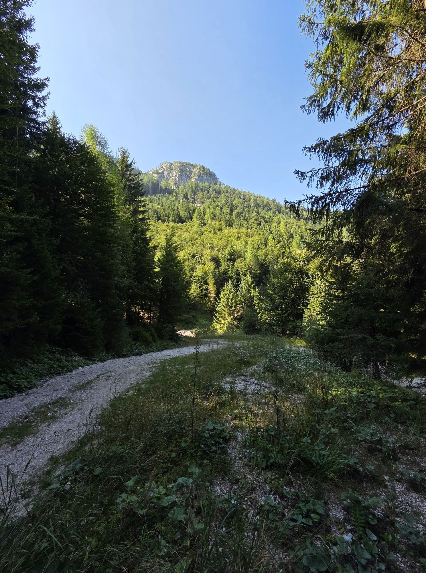


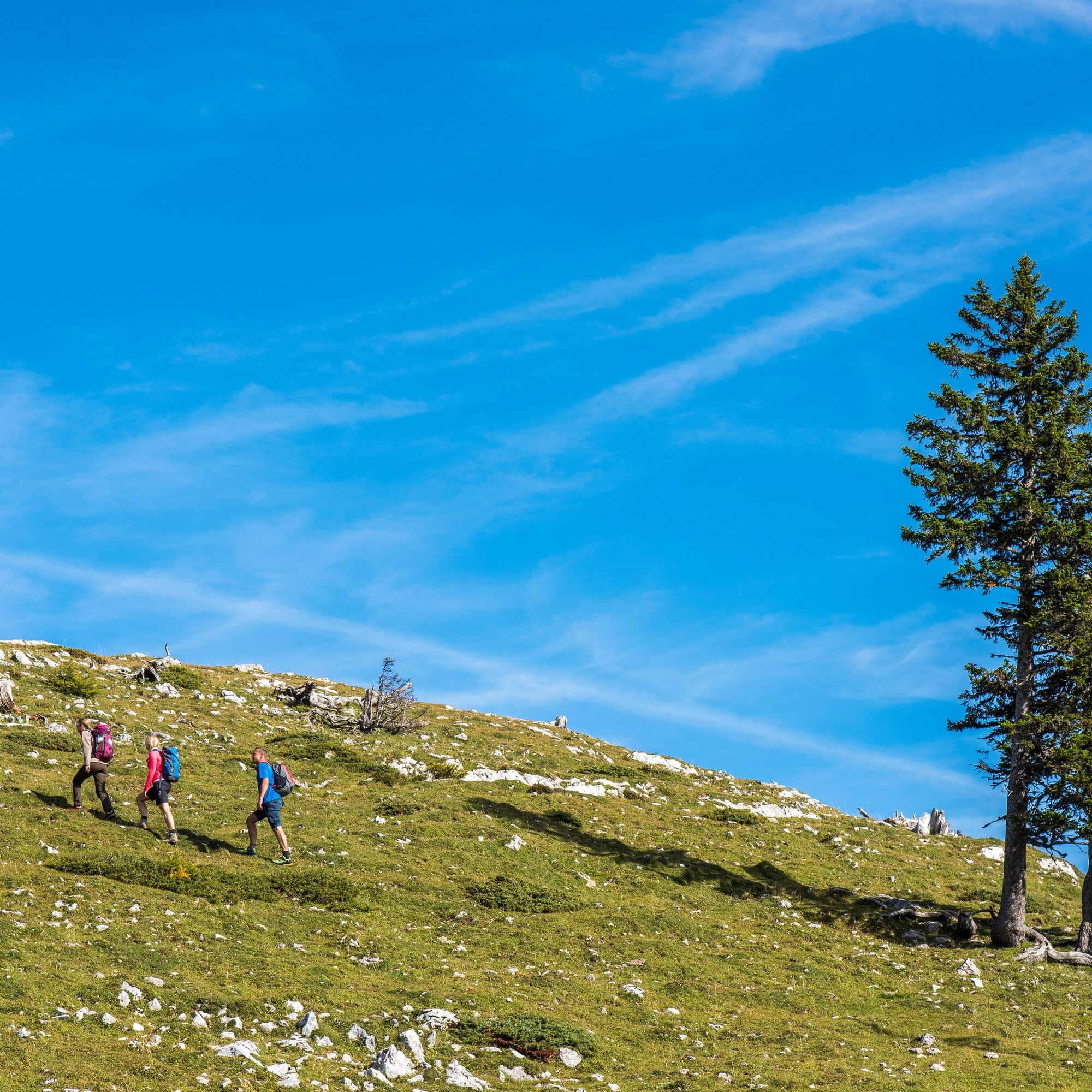
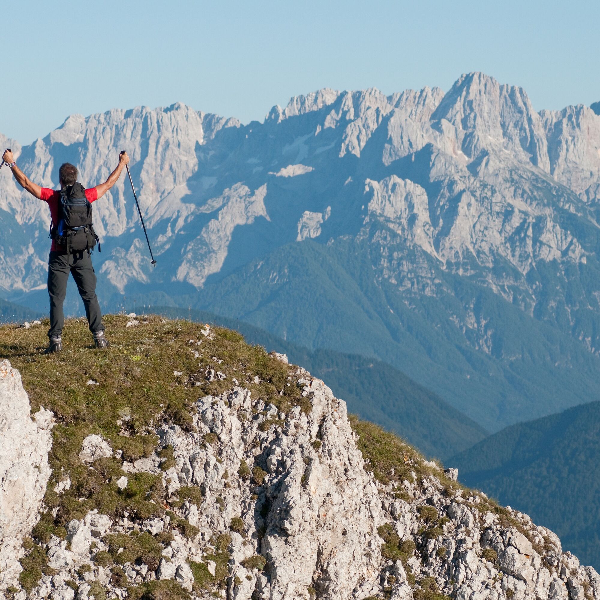
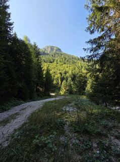
The start of the route is at the parking lot after the last farm in Hermsberg. From the parking lot, which is located in the middle of the forest, we follow the forest road uphill. Soon we find the first signposts "Dobratsch summit", shortly after we leave the forest road following the markings and continue hiking on a beautiful path with only moderate incline.
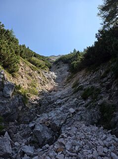
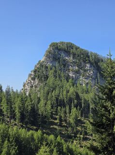
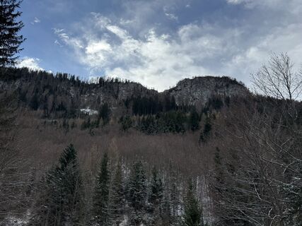
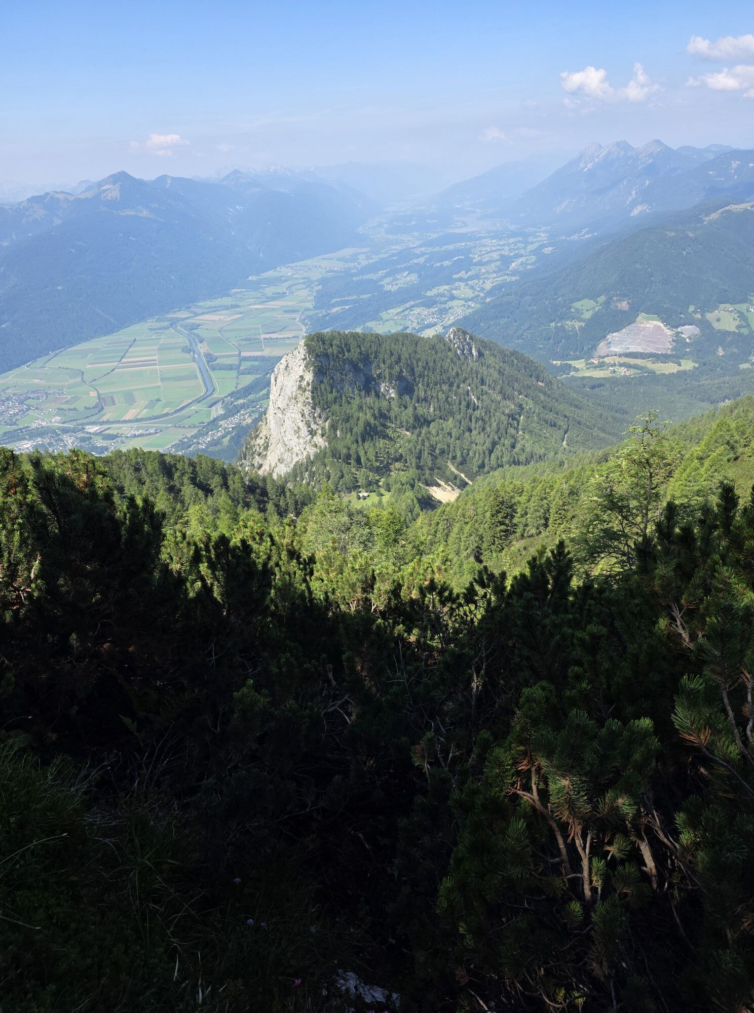
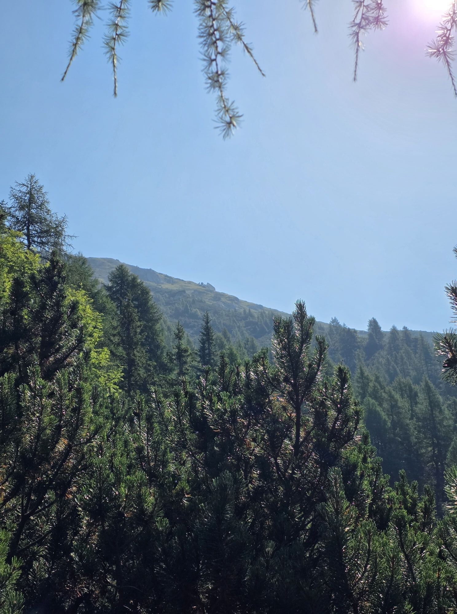
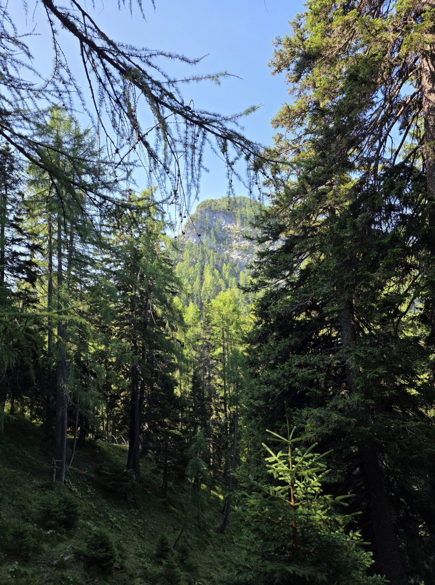
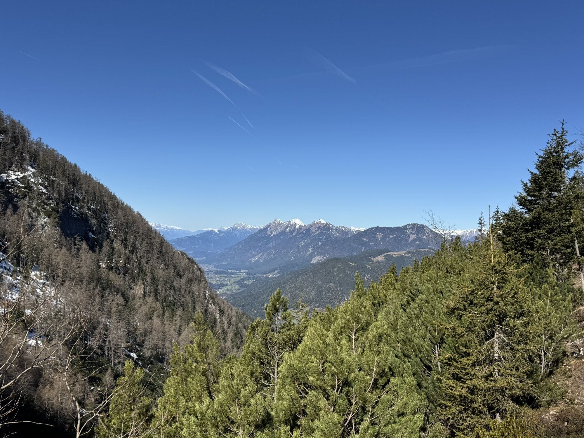
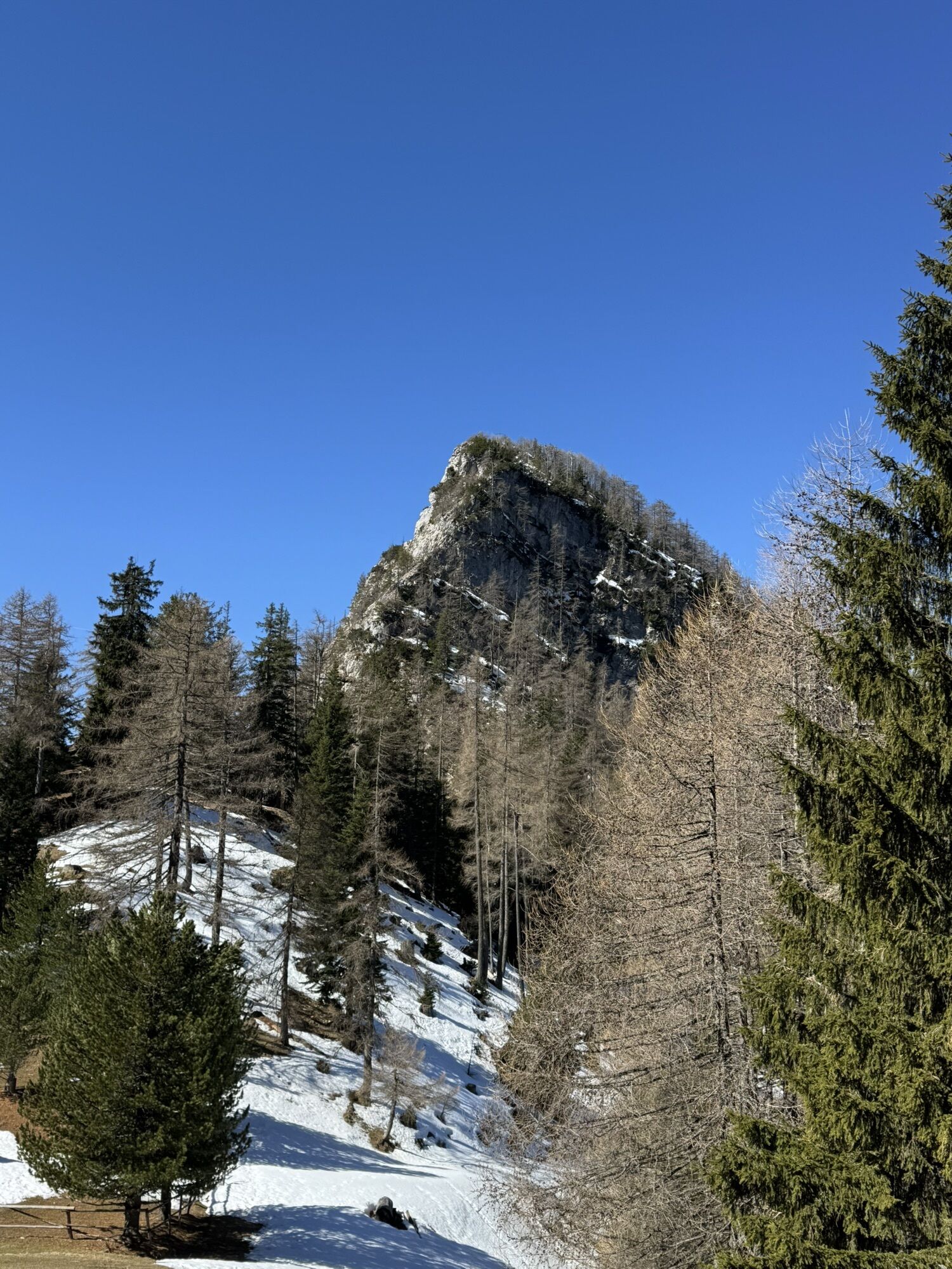
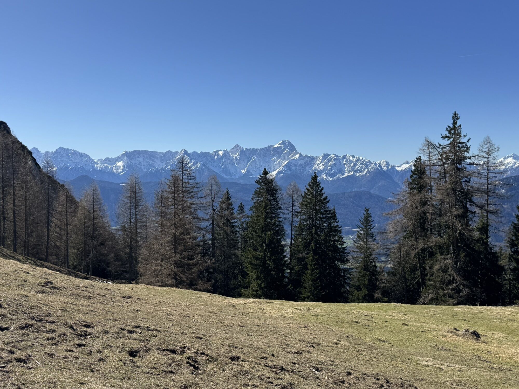
At about 1,200 m we reach a crossroads. From the left, the ascent path from Bleiberg-Kreuth joins our ascent route via the so-called gate. The path then becomes significantly steeper and climbs over a ridge. At about 1,500 m we cross the slope to the right and after climbing over a fence we enter a beautiful, bright larch forest.
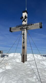
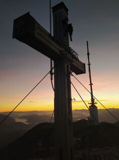
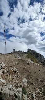
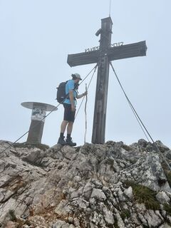
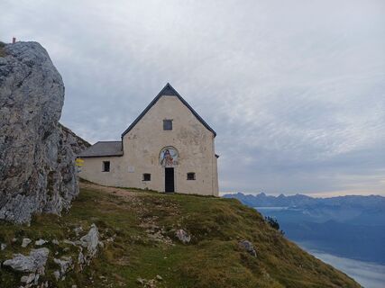
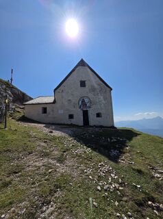
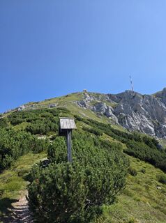
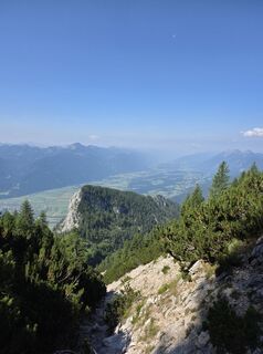
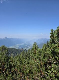
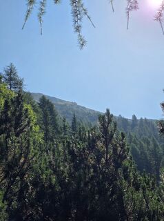
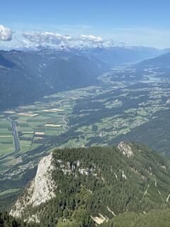
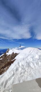
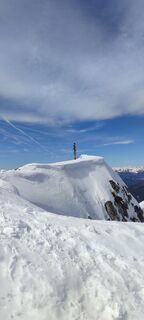
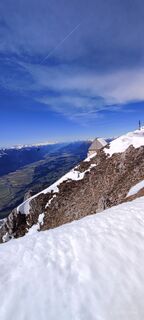
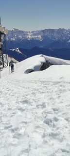
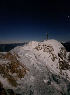
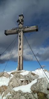
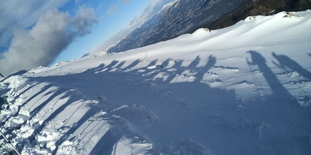
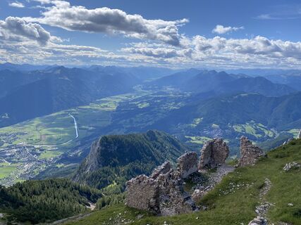
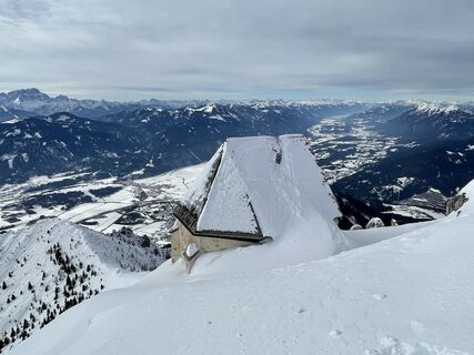
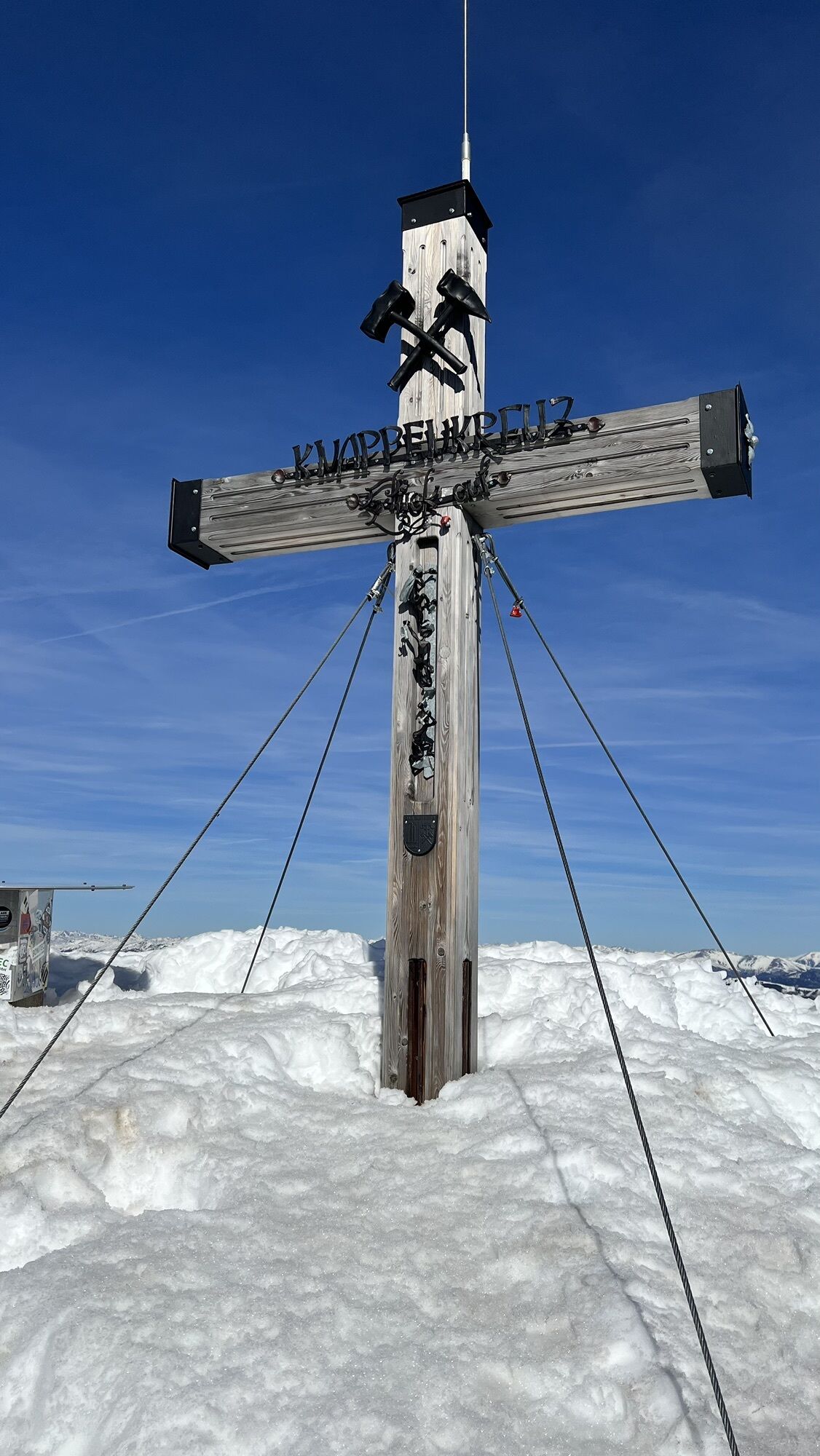
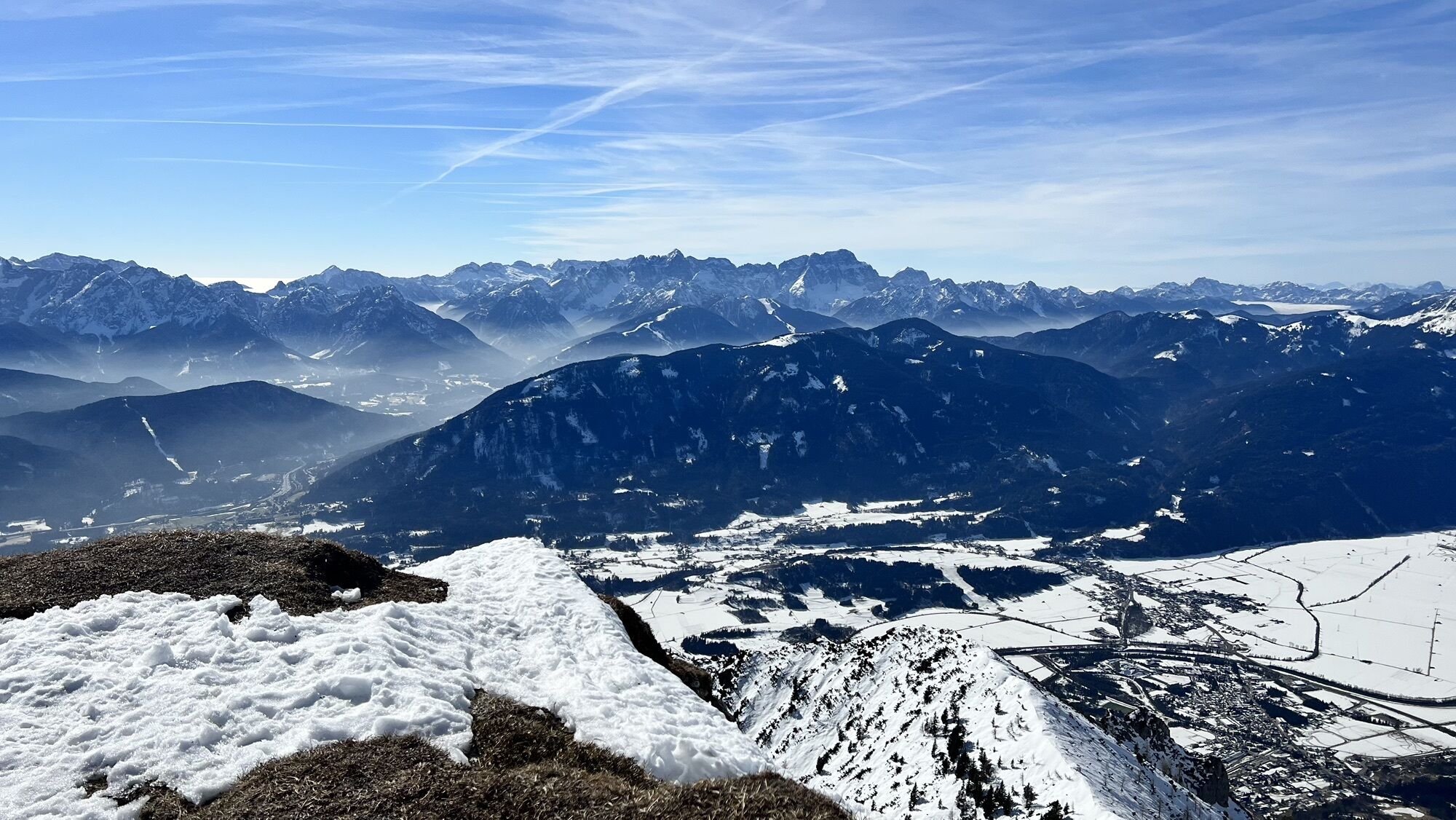
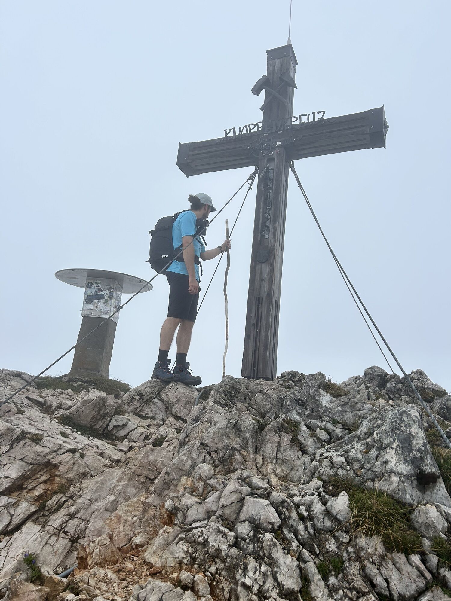
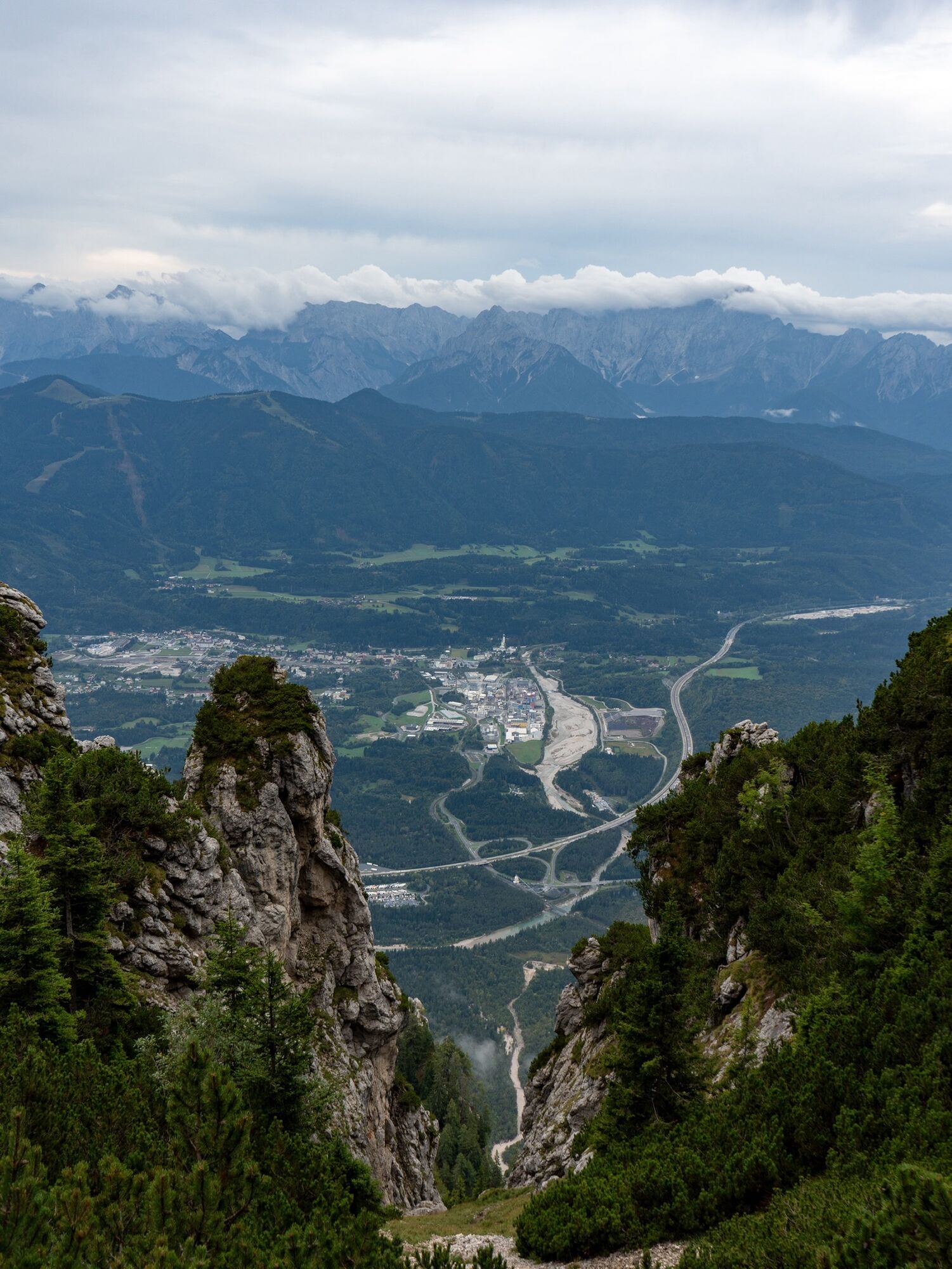
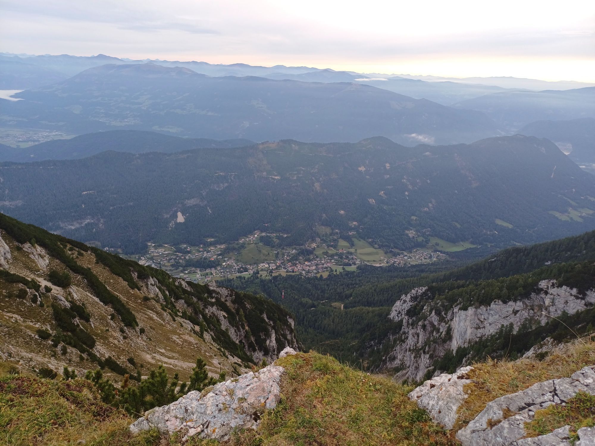
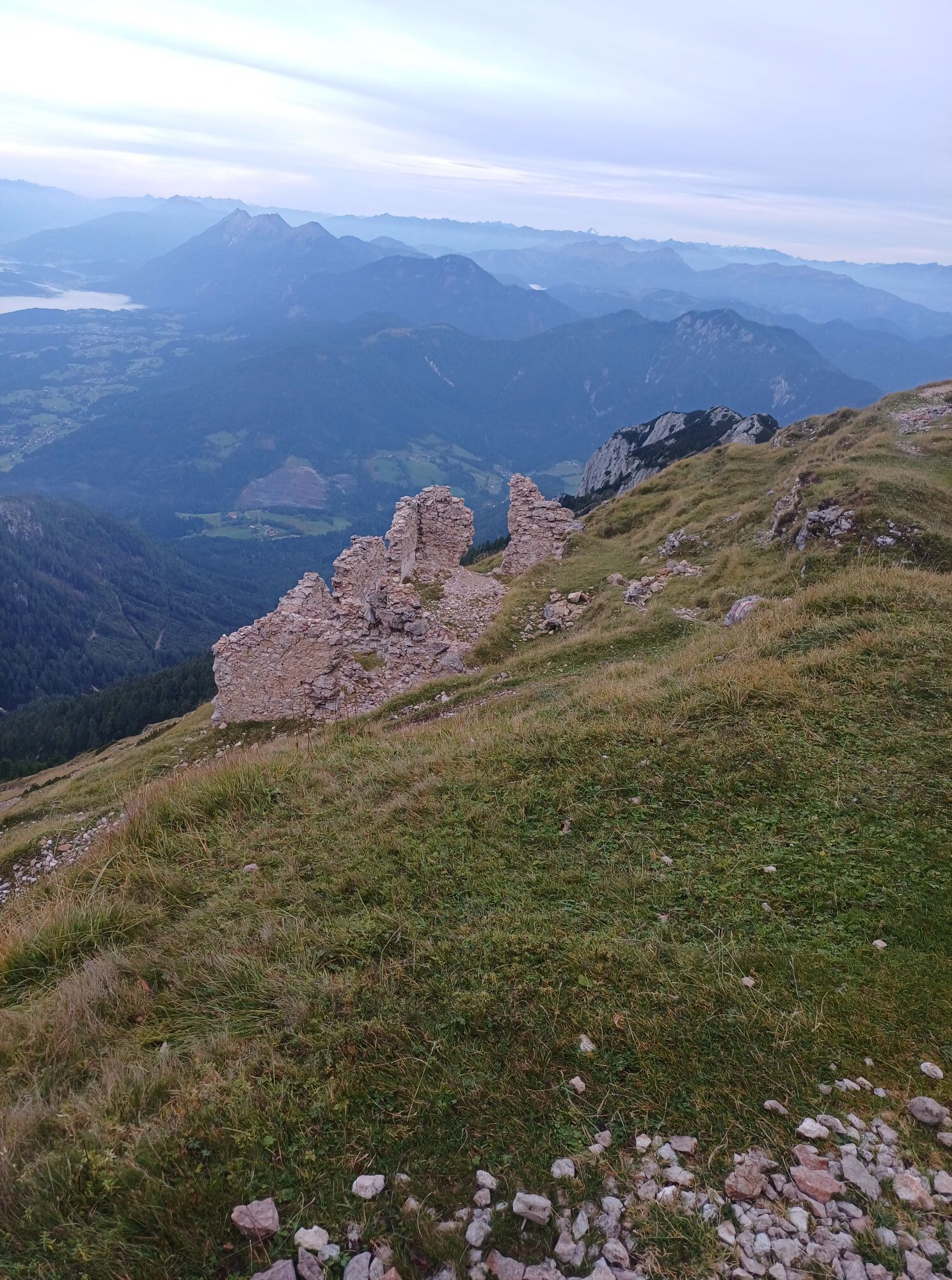
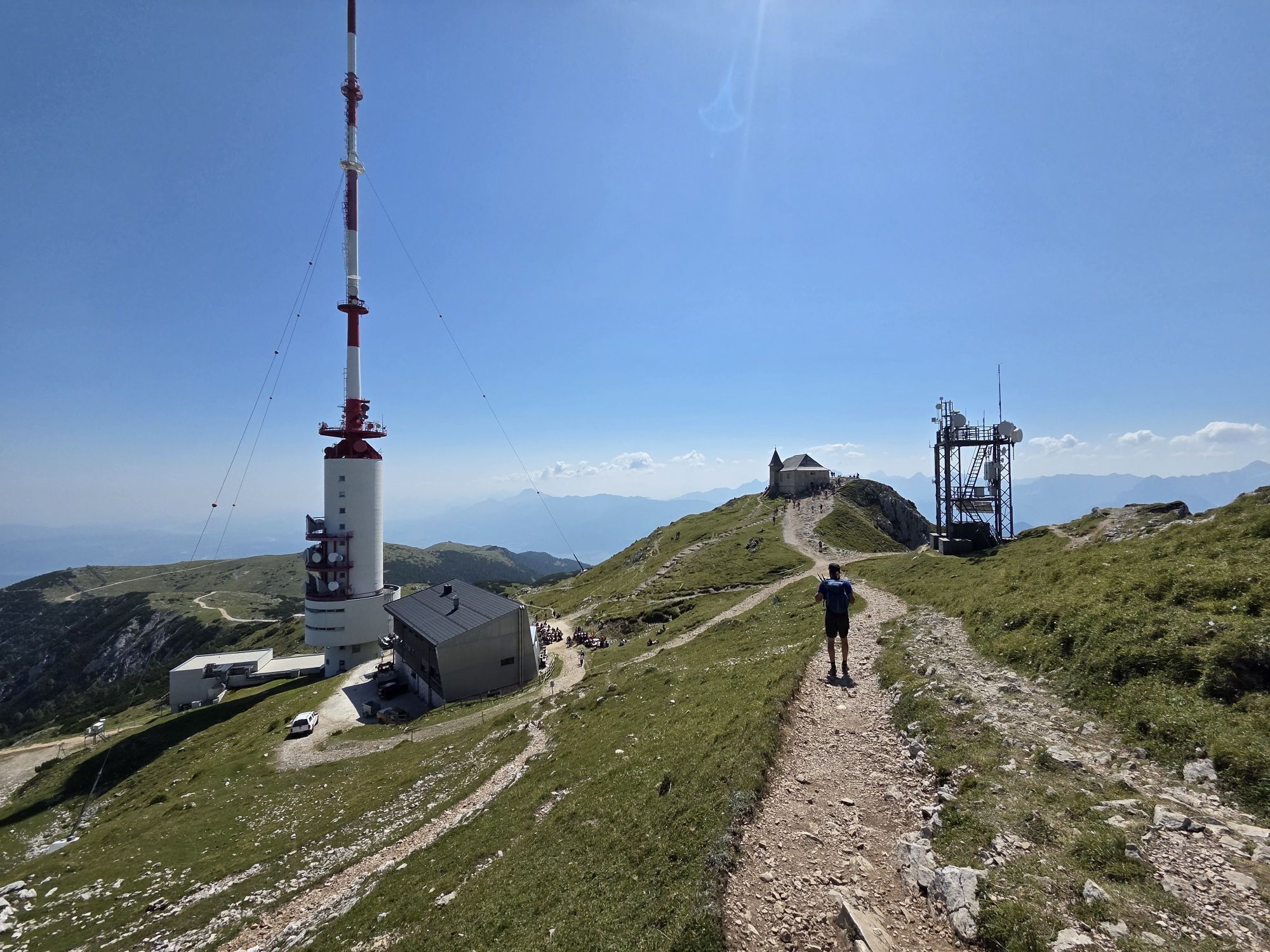
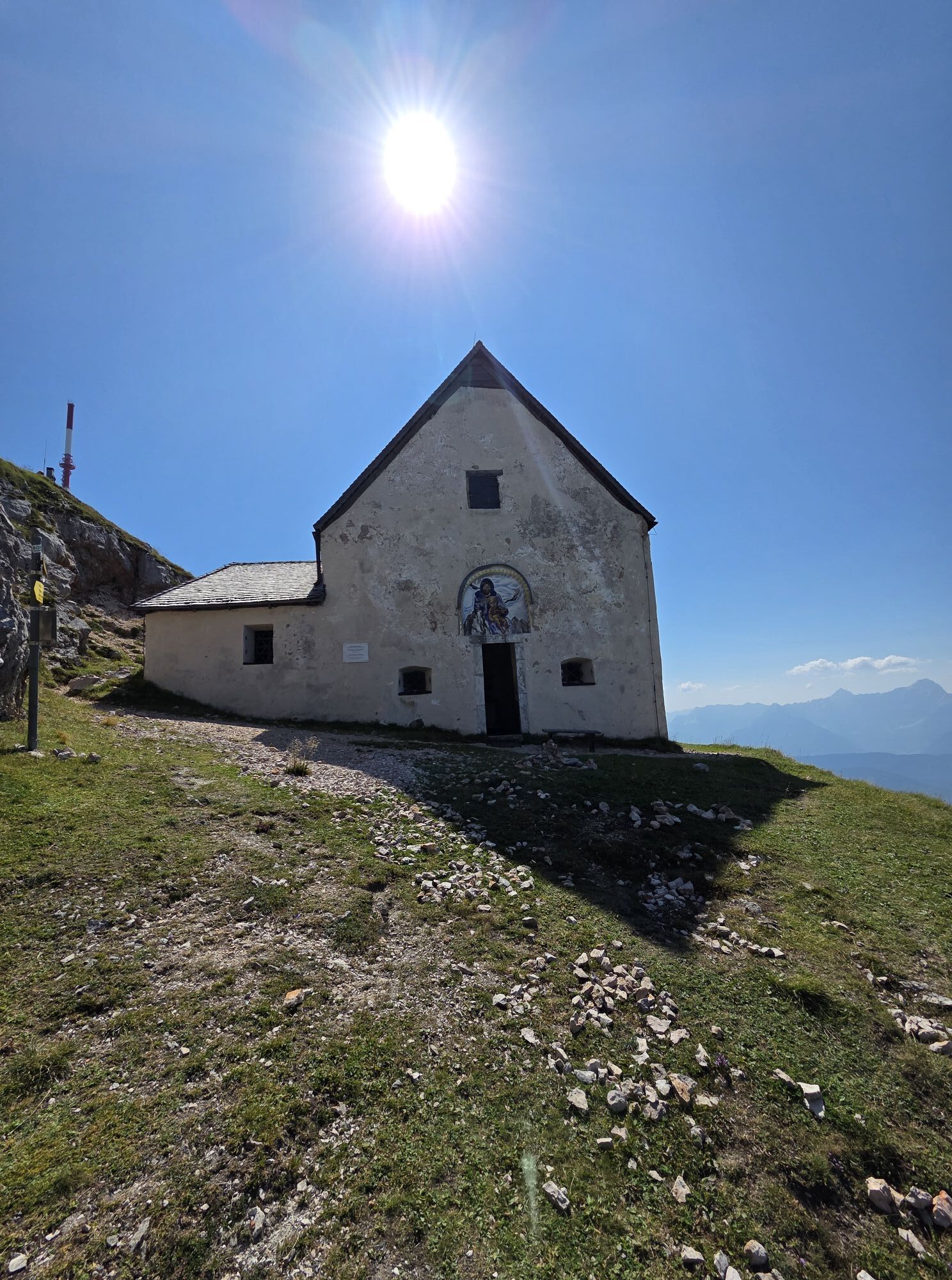
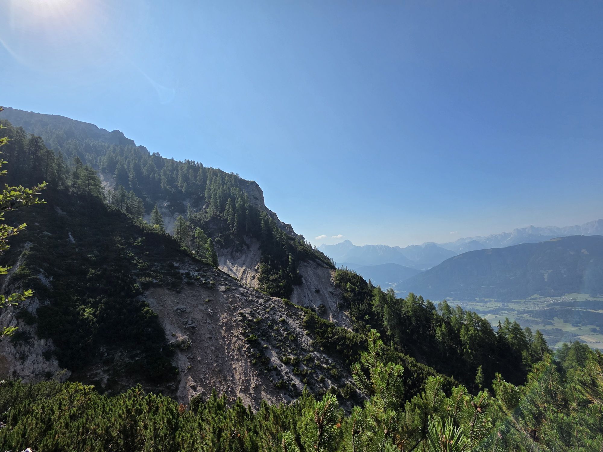
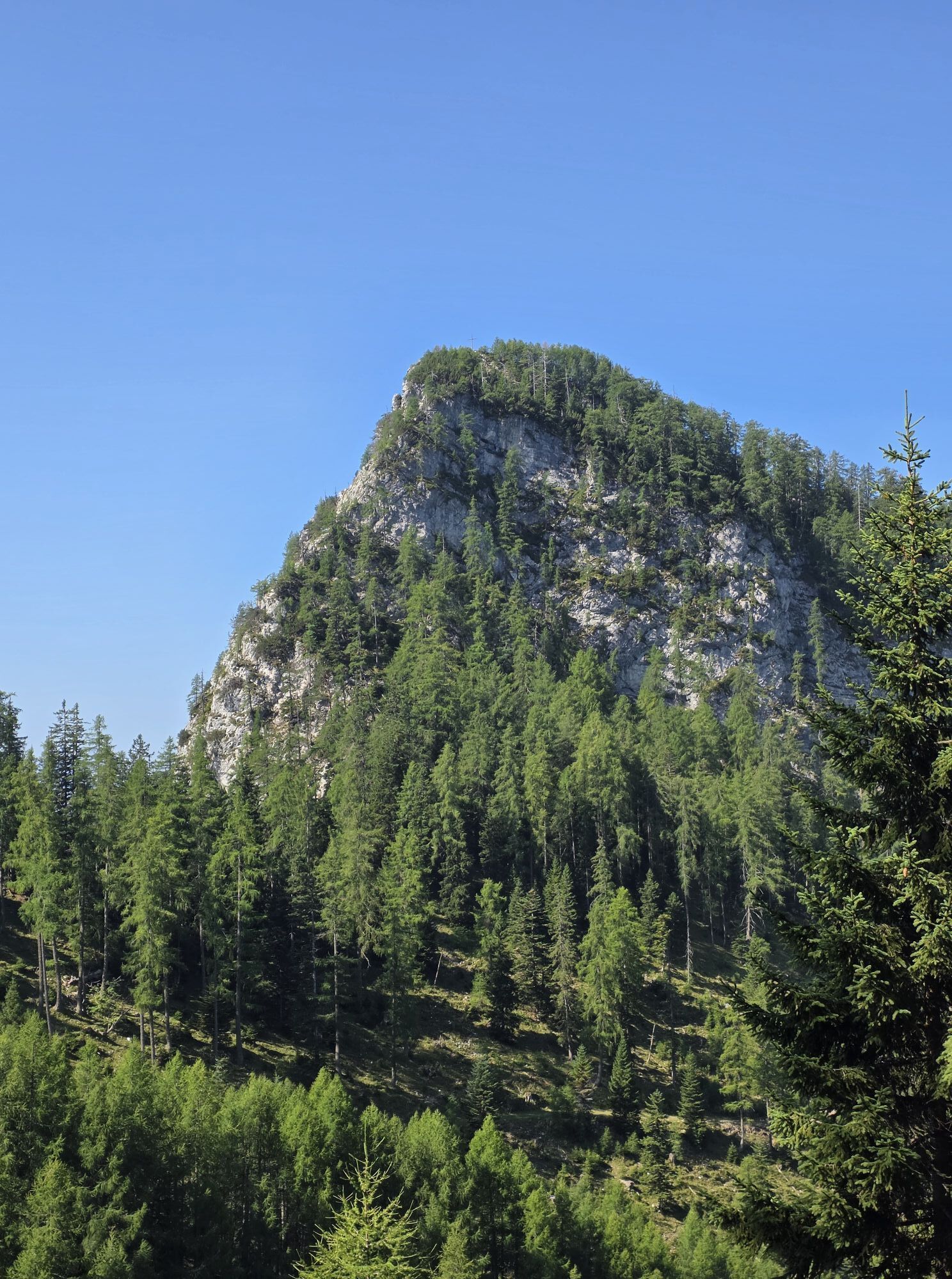
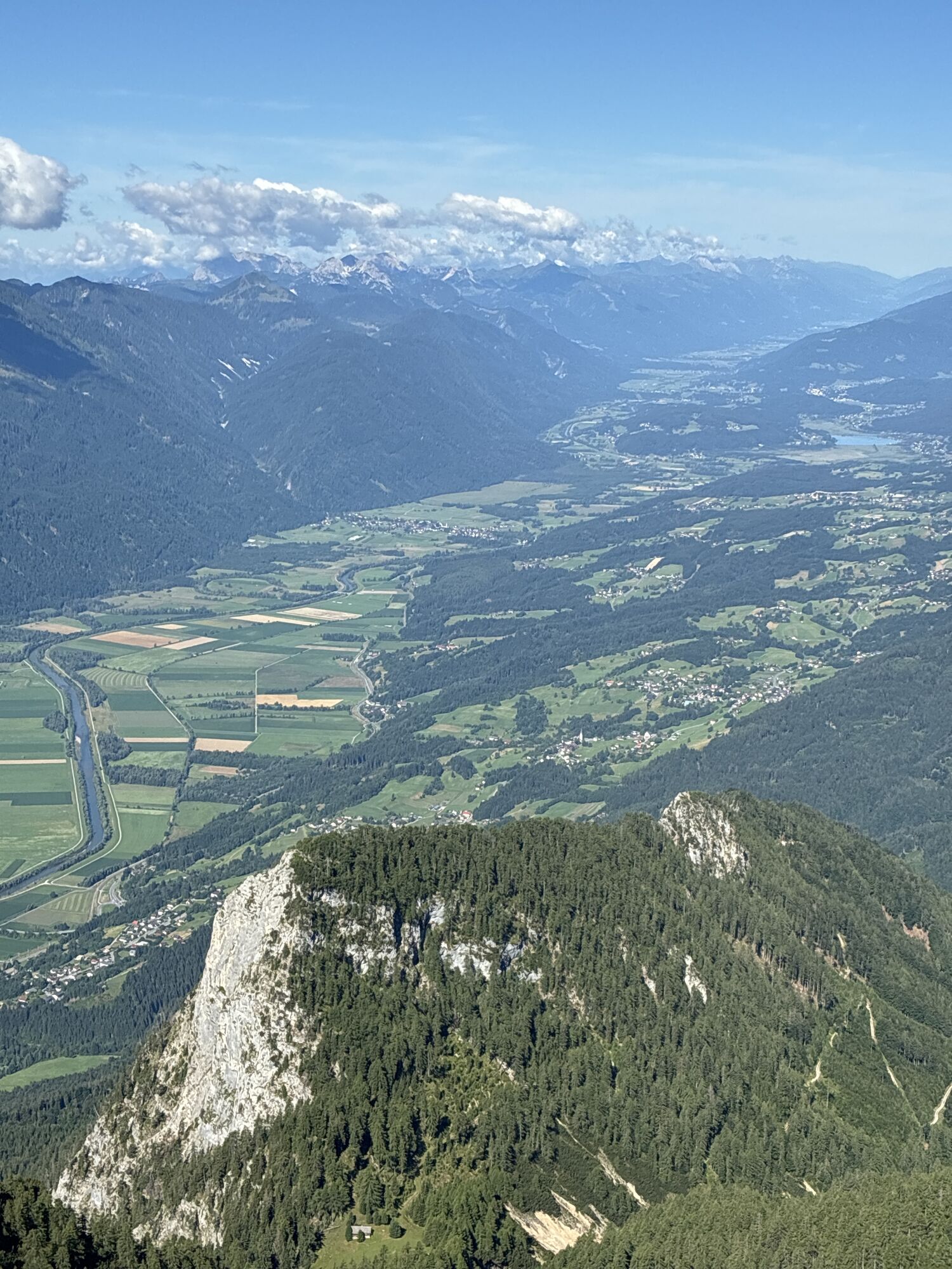
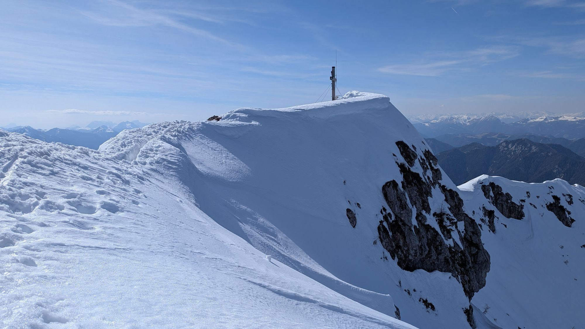
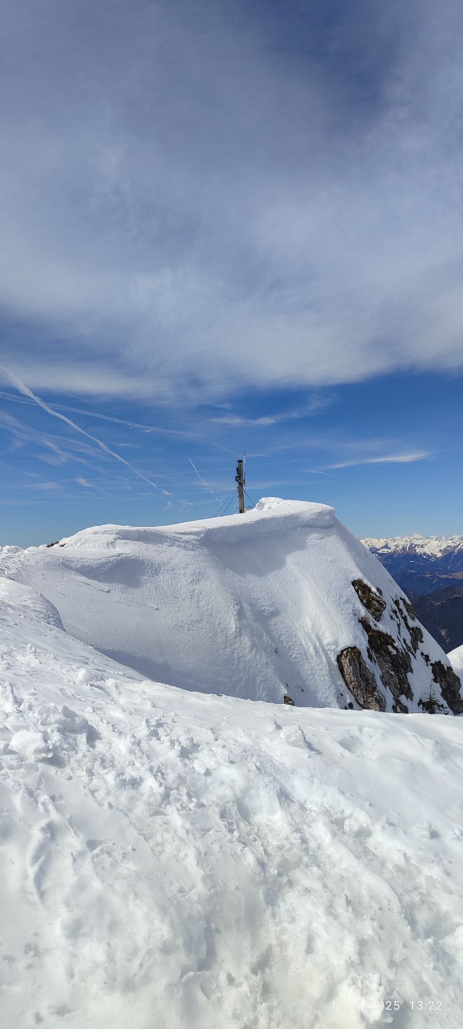
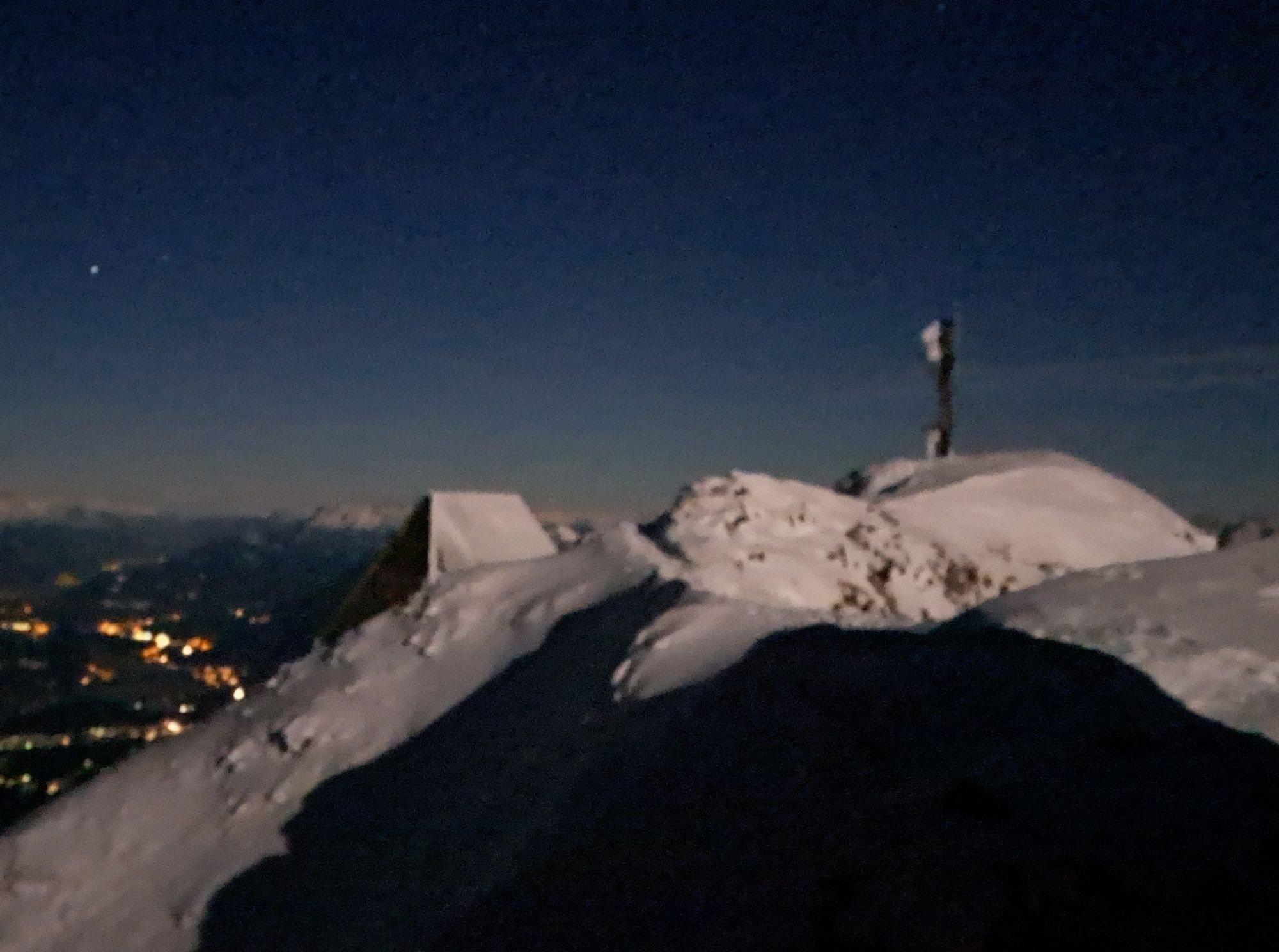
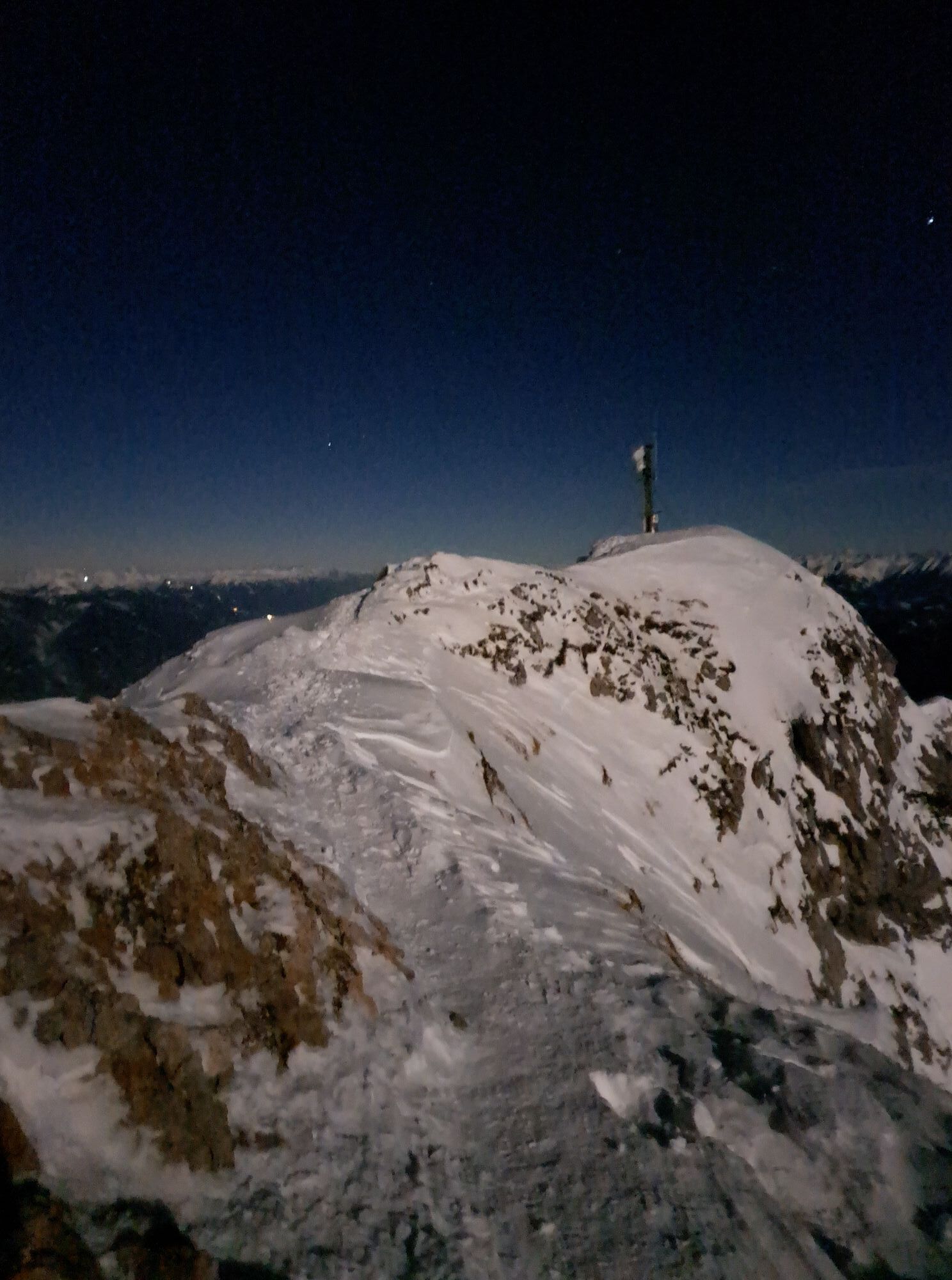
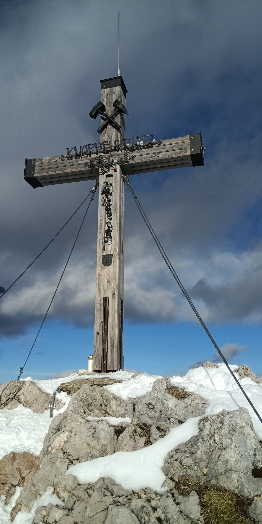
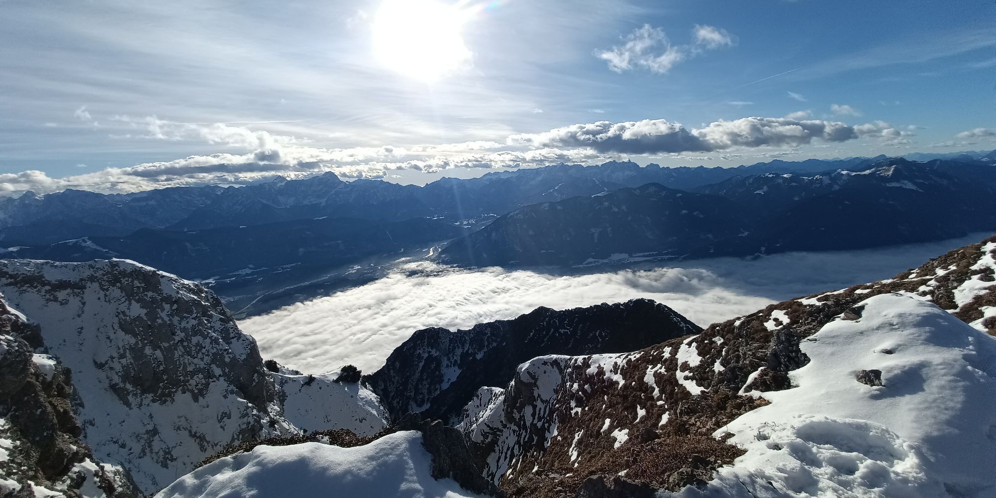
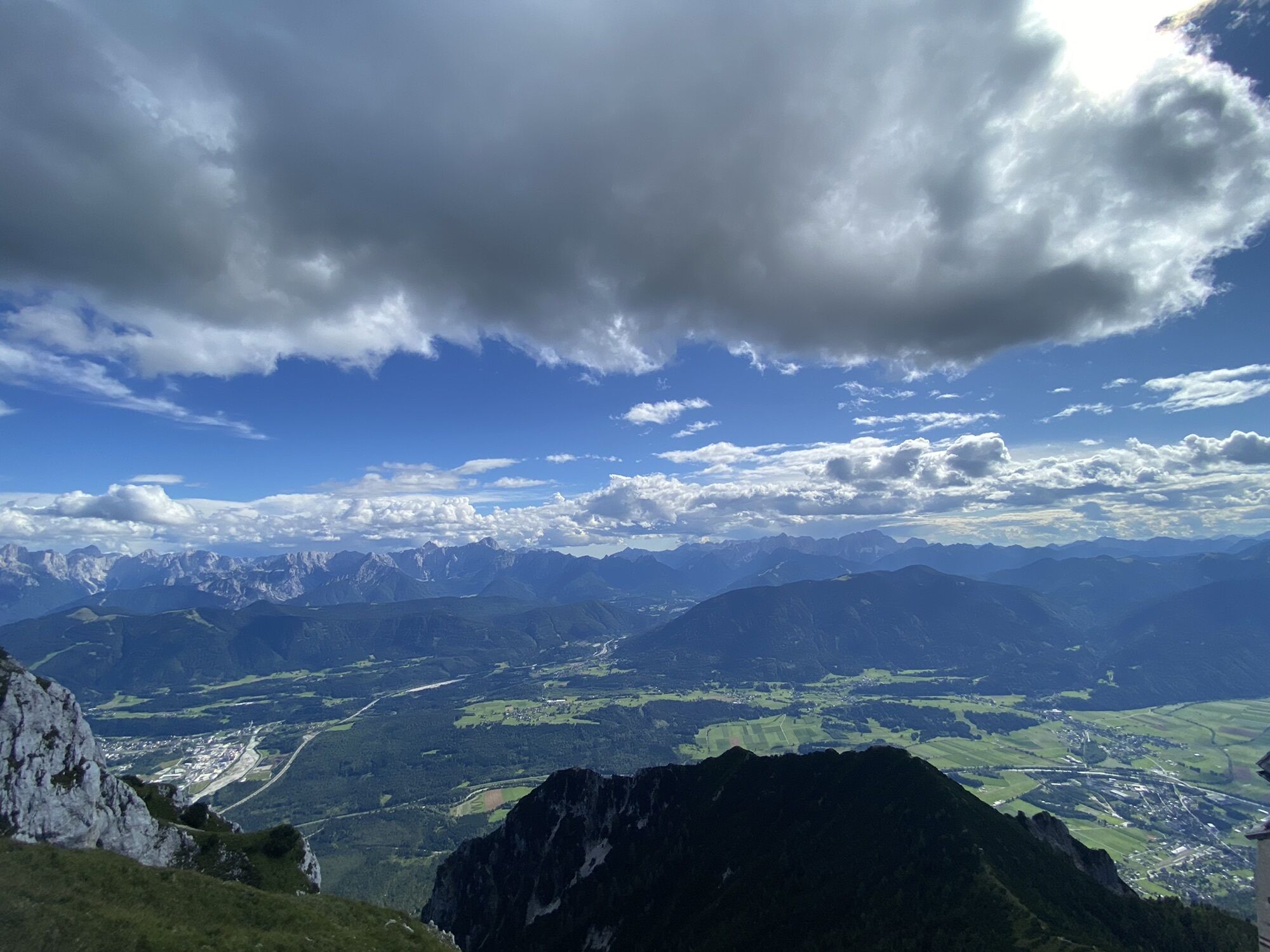
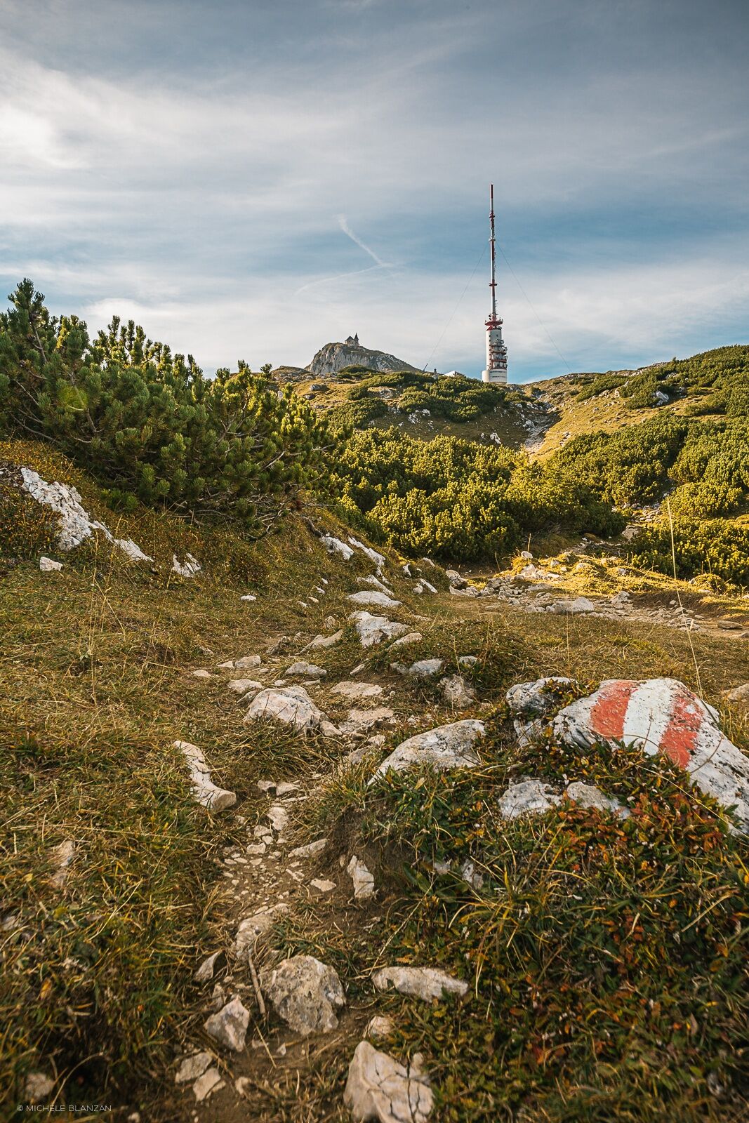
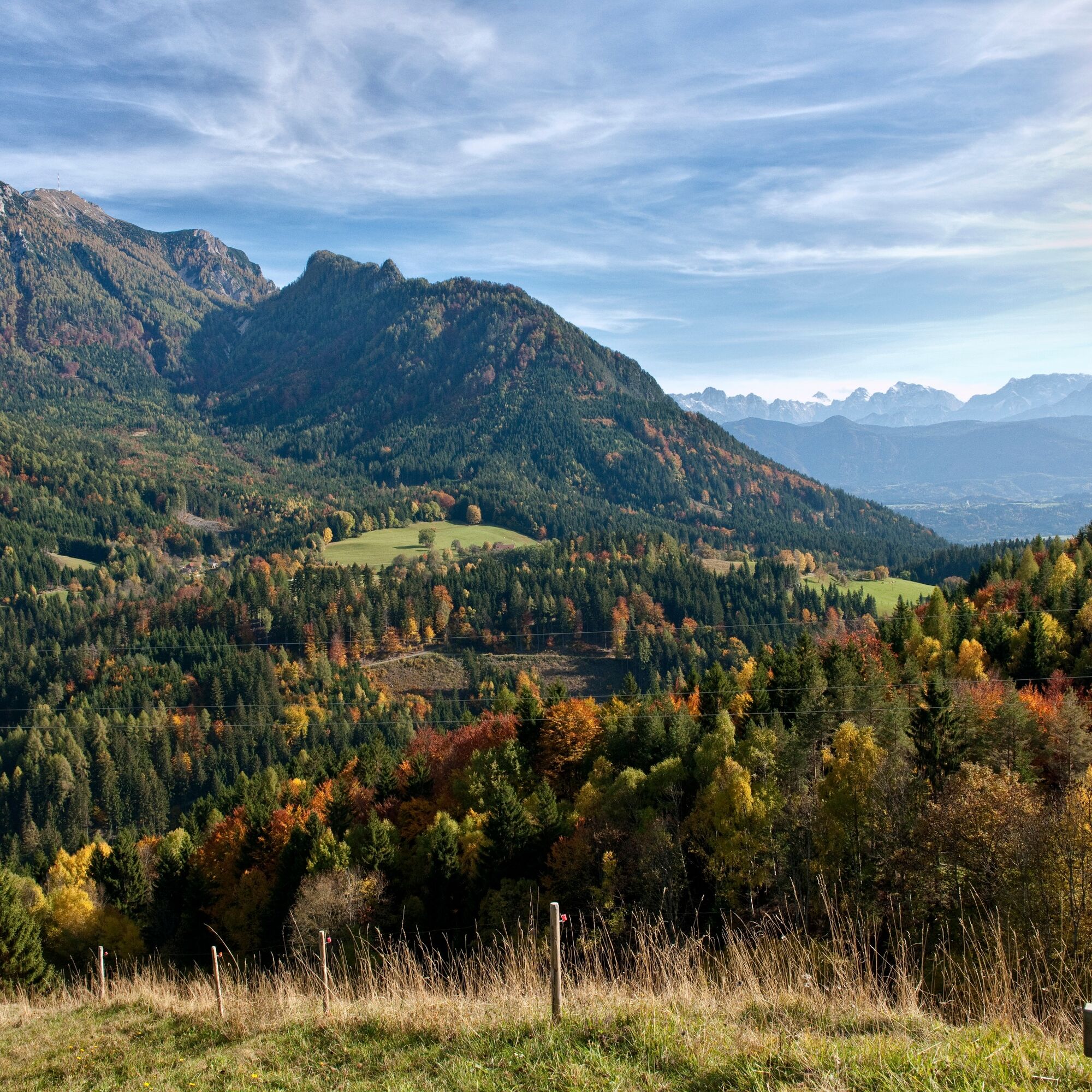
The path leads up through this in switchbacks until reaching a belt of dwarf pines. Shortly afterward, we cross the slope to the right (southeast) to the so-called Kuhriegel, which extends from Dobratsch to the south. Over this, we climb the last approximately 180 vertical meters to the summit. The breathtaking view from the summit then rewards the long climb through the forest.
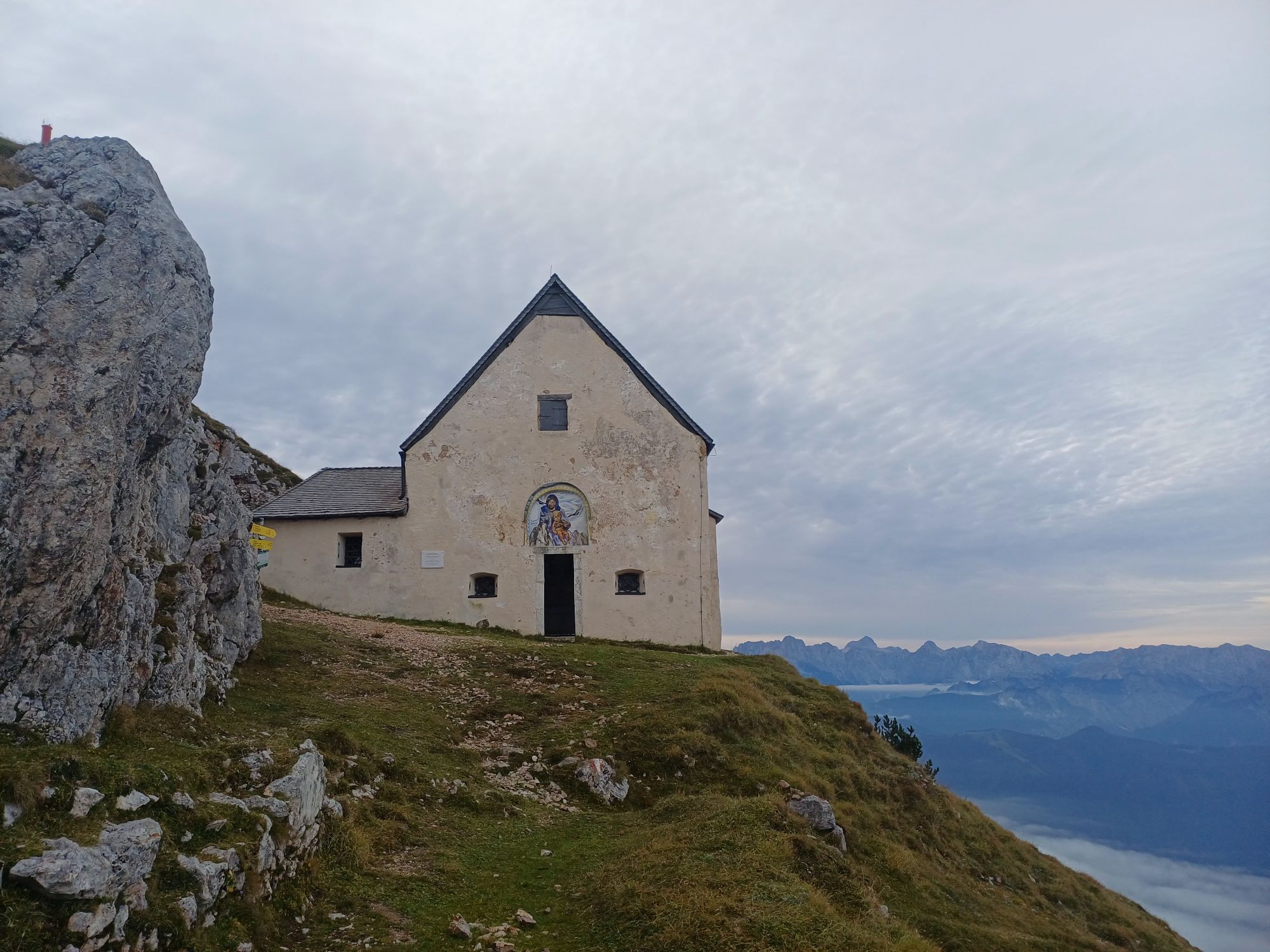
The descent is made via the ascent route. In good weather, a short detour to the unattended Alplhütte at 1,580 m is recommended.
Áno
Áno
Mountain boots with profile sole, backpack, functional underwear, rainwear, trekking poles, food and drink, maps, first aid kit, and mobile phone.
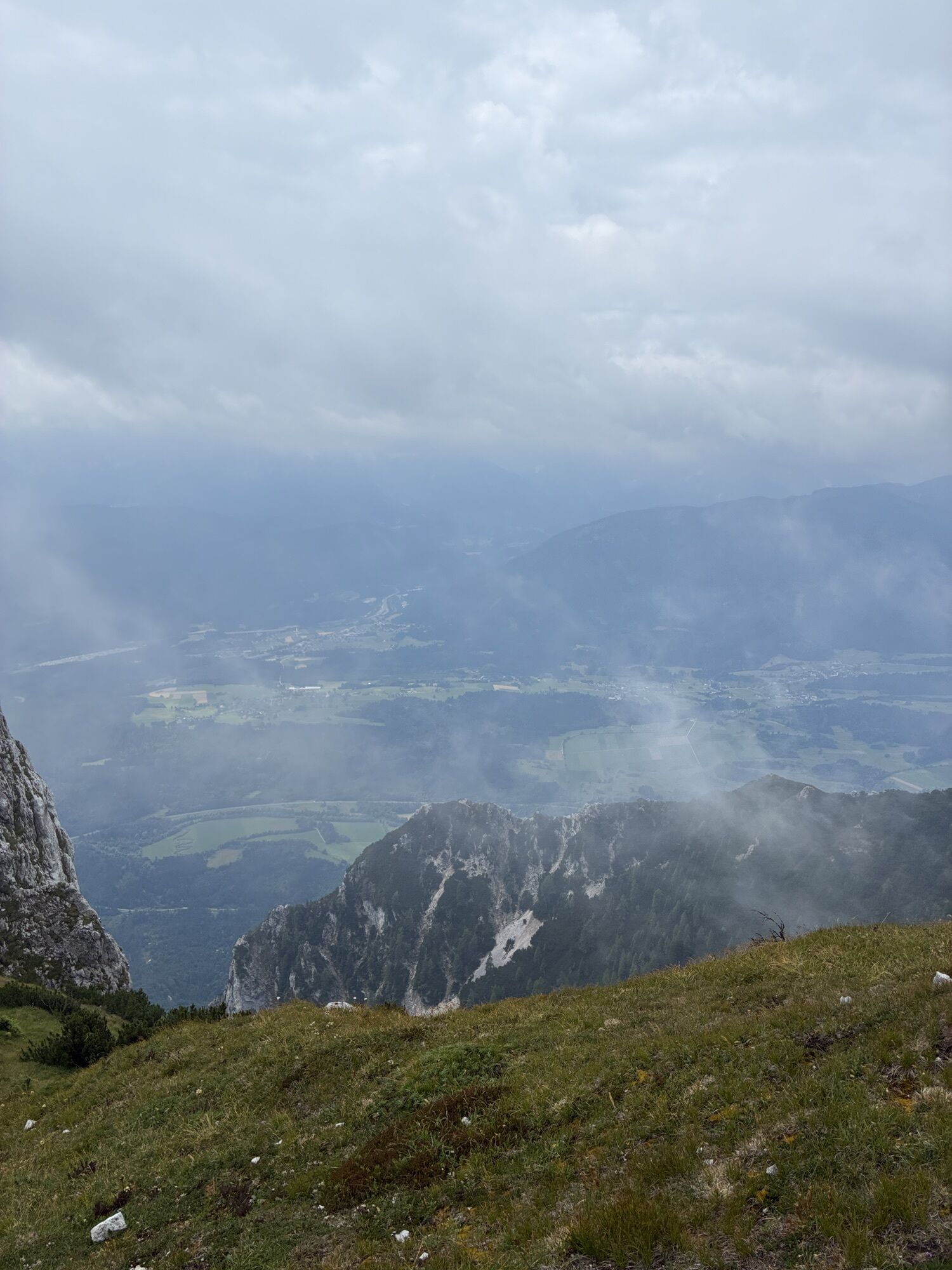
The routes on the Dobratsch are fundamentally alpine hiking routes with associated alpine dangers (sudden weather changes, disorientation due to fog, risk of thunderstorms, cold snap, rockfall, etc.).
From Villach via B111 to Nötsch in the Gail valley. Turn towards Bad Bleiberg and before Graben turn to Hermsberg.
From Villach main train station take the bus to Bad Bleiberg Kreuth or further to the Graben stop.
Parking lot after the last farm in Hermsberg. Shortly before the forest passage to Lärchbach, a forest road branches off to the right, with a signpost to the parking lot.
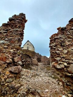
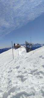
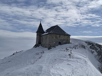
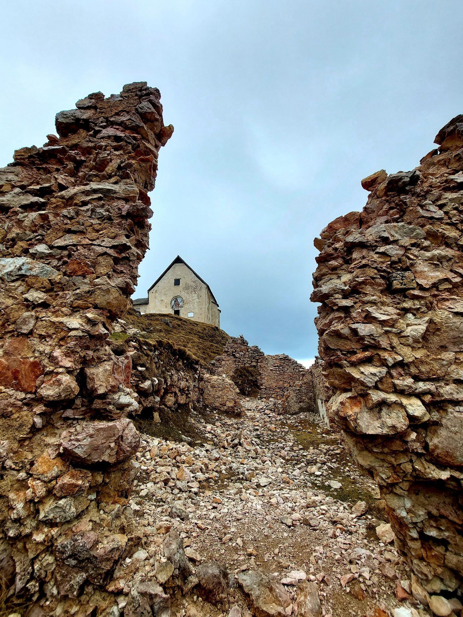
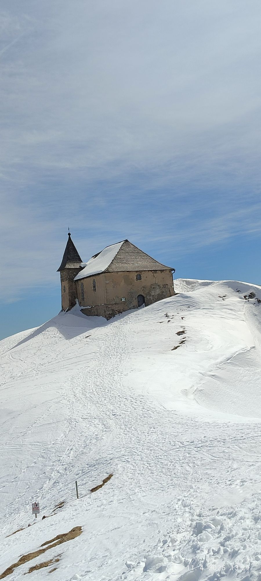
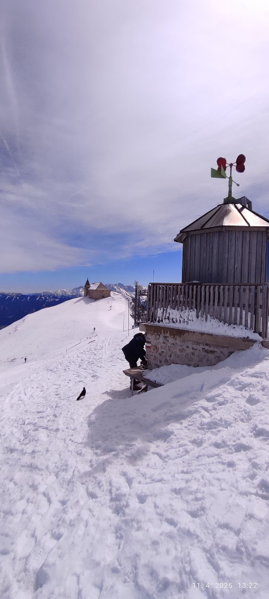
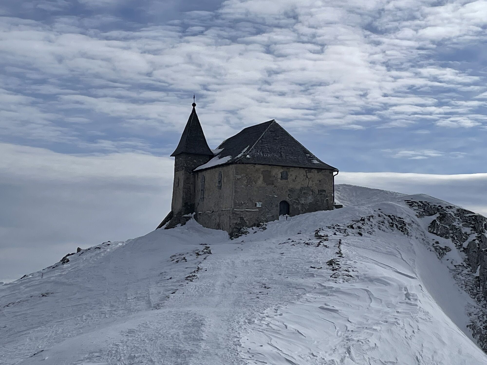
It is a 5-minute walk from the summit to the staffed summit hut. In Nötsch, a visit to the Nötscher Kreis museum or the Wiegele bakery is recommended.
Obľúbené výlety v okolí
-
4,9
Orrido dello Slizza, Tarvisio, Italië
svetloTuristika 2,65 km -
4,7
Gailtaler Alpen: Wanderung auf der Dobratsch
strednáTuristika 8,50 km -
4,8
Jazerá Fusine
svetloTuristika 5,43 km -
4,4
Dobratsch - Jägersteig
strednáTuristika 9,11 km -
4,3
Einfacher Aufstieg vom Parkplatz Rosstratte auf den Dobratsch
svetloTuristika 9,12 km -
4,4
Panorama trail Schwarzsee - Palnock
strednáTuristika 11,9 km -
3,9
Schwarzsee circular hiking trail
strednáTuristika 7,79 km -
4,7
Weißenfelser Seen: Fusine in Valromana - Ai Sette Nani - Seealm
strednáTuristika 10,3 km -
Villach Alpe
ťažkéTuristika 7,26 km -
5,0
Amberg: Palnock 1901m, Schwarzsee, Rundstrecke
strednáTuristika 7,94 km
Turistika a stopovanie


Nenechajte si ujsť ponuky a inšpiráciu na ďalšiu dovolenku
Vaša e-mailová adresa bol pridaný do poštového zoznamu.