







Klippitztörl - Geierkogel loop trail no. G
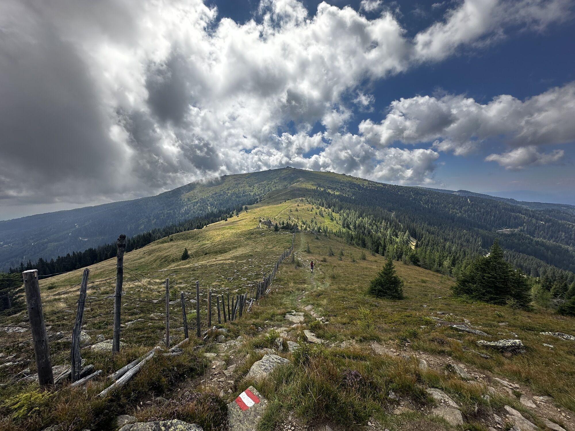
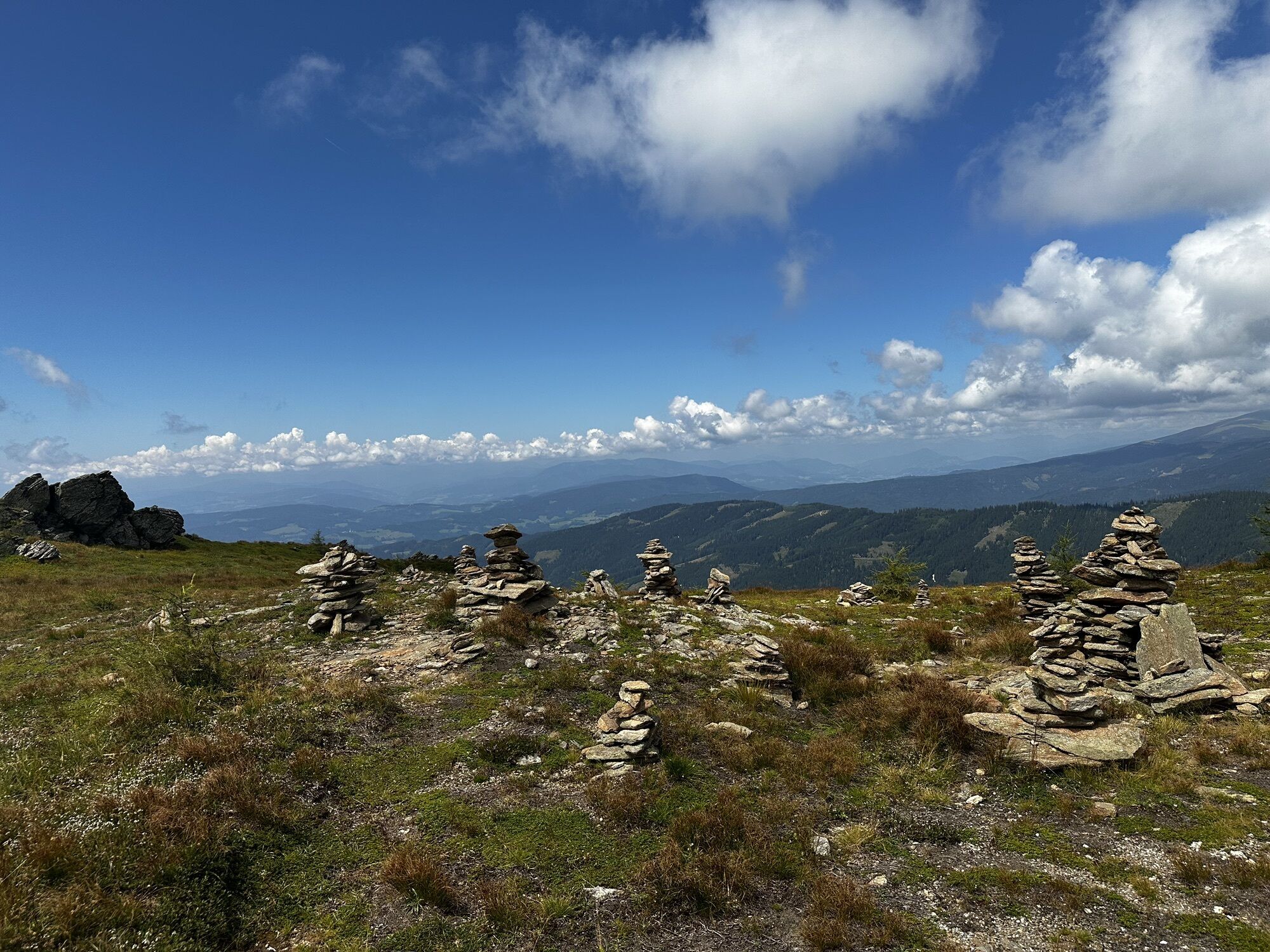
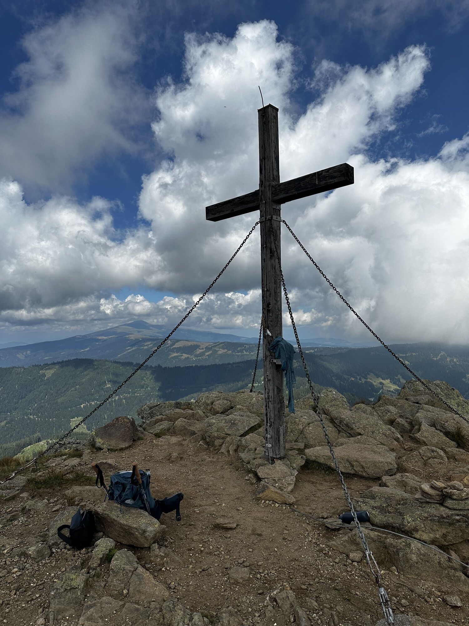
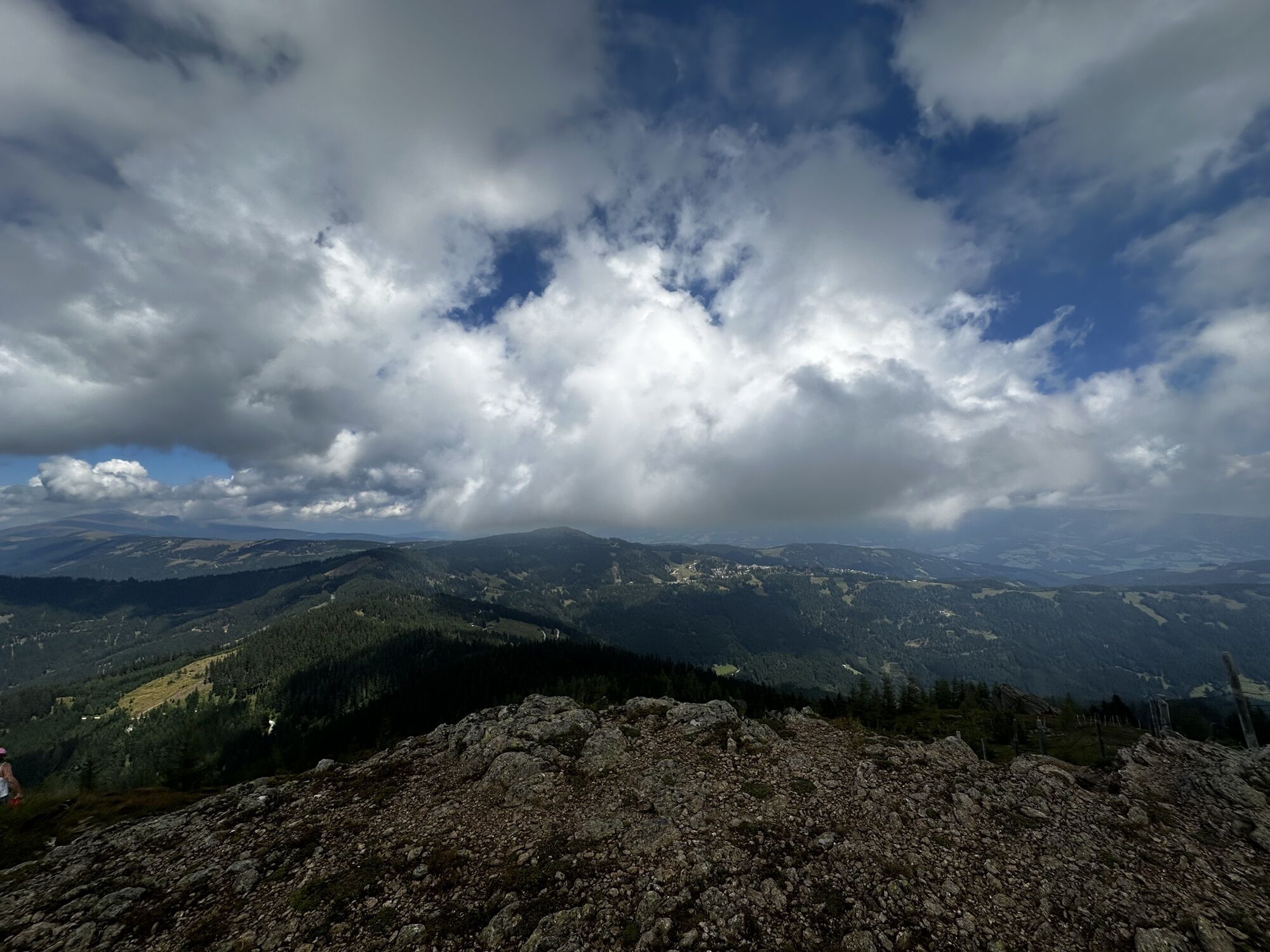
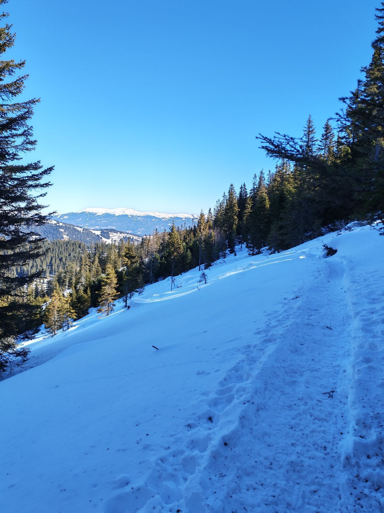
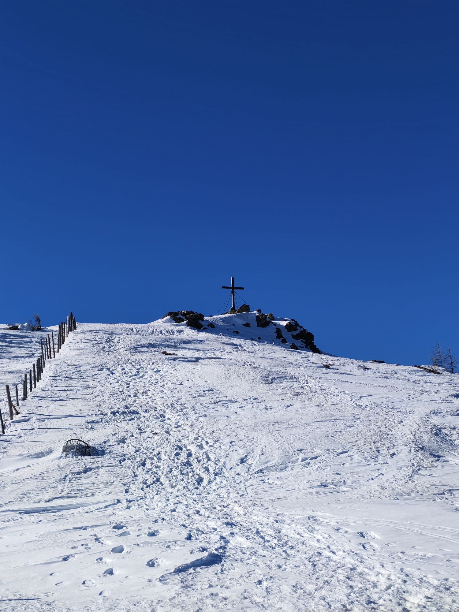
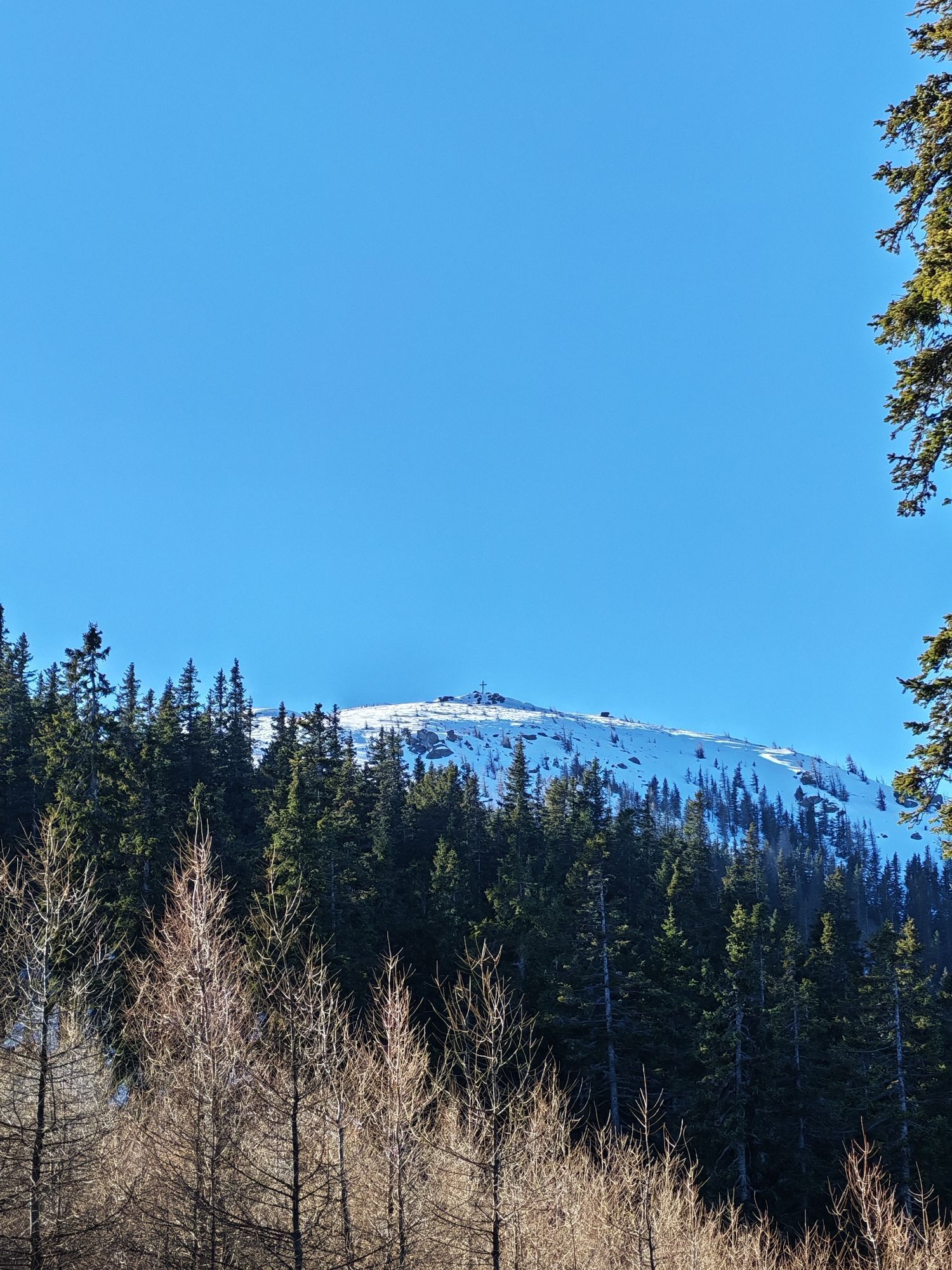
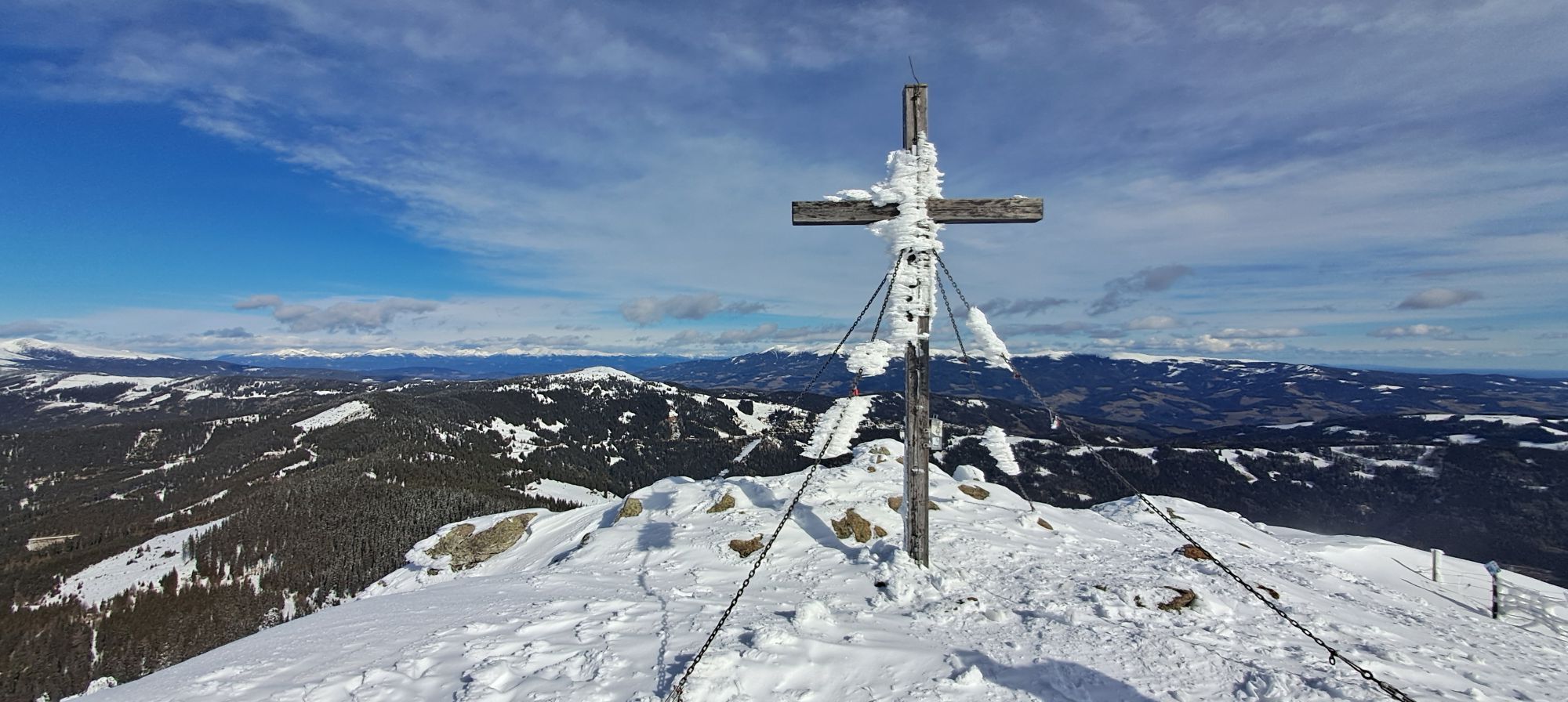
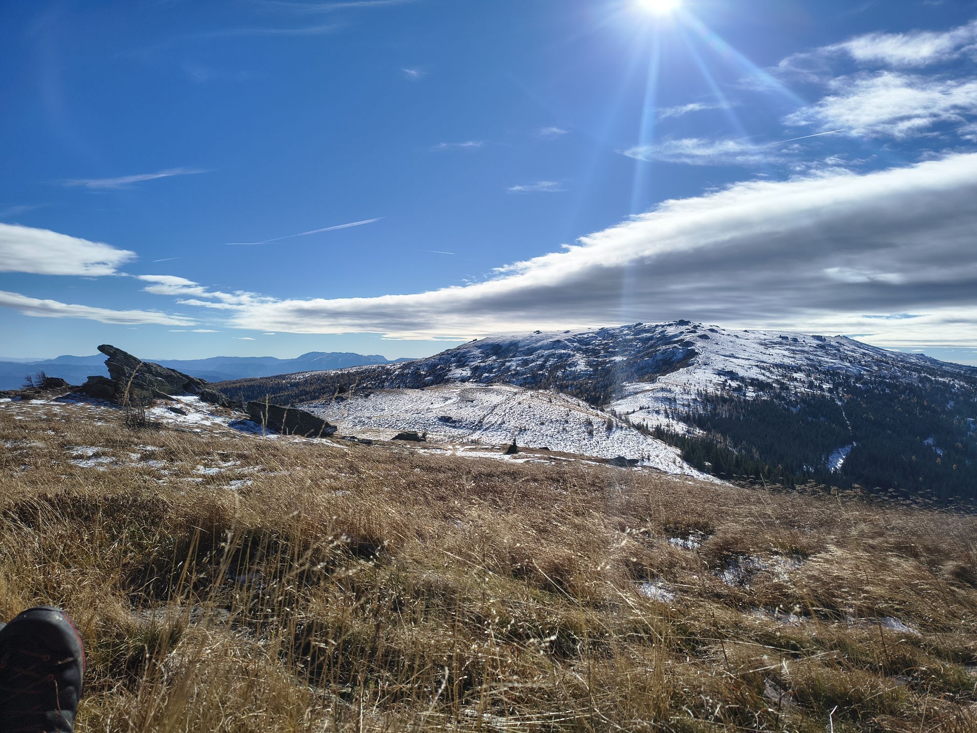
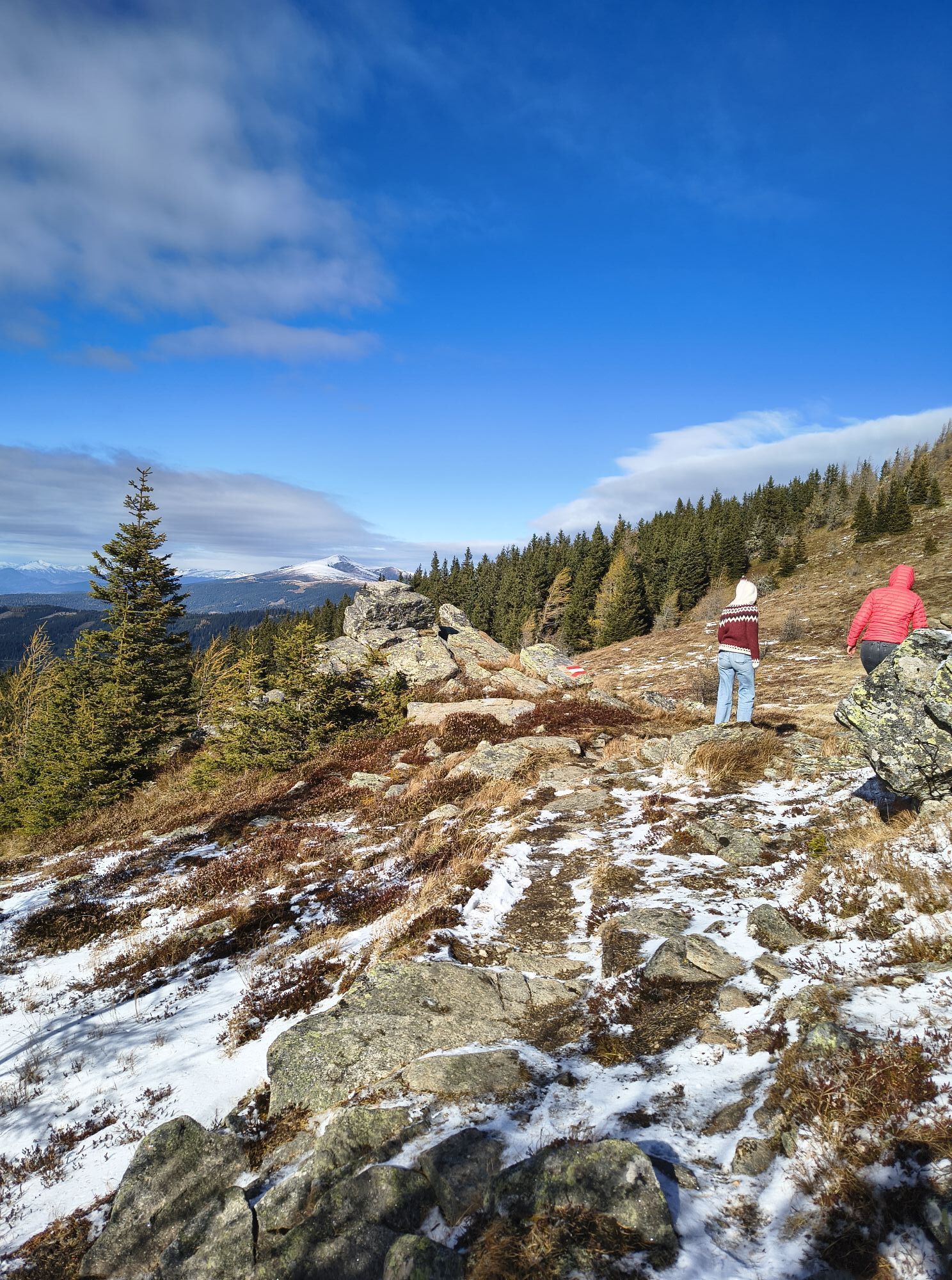
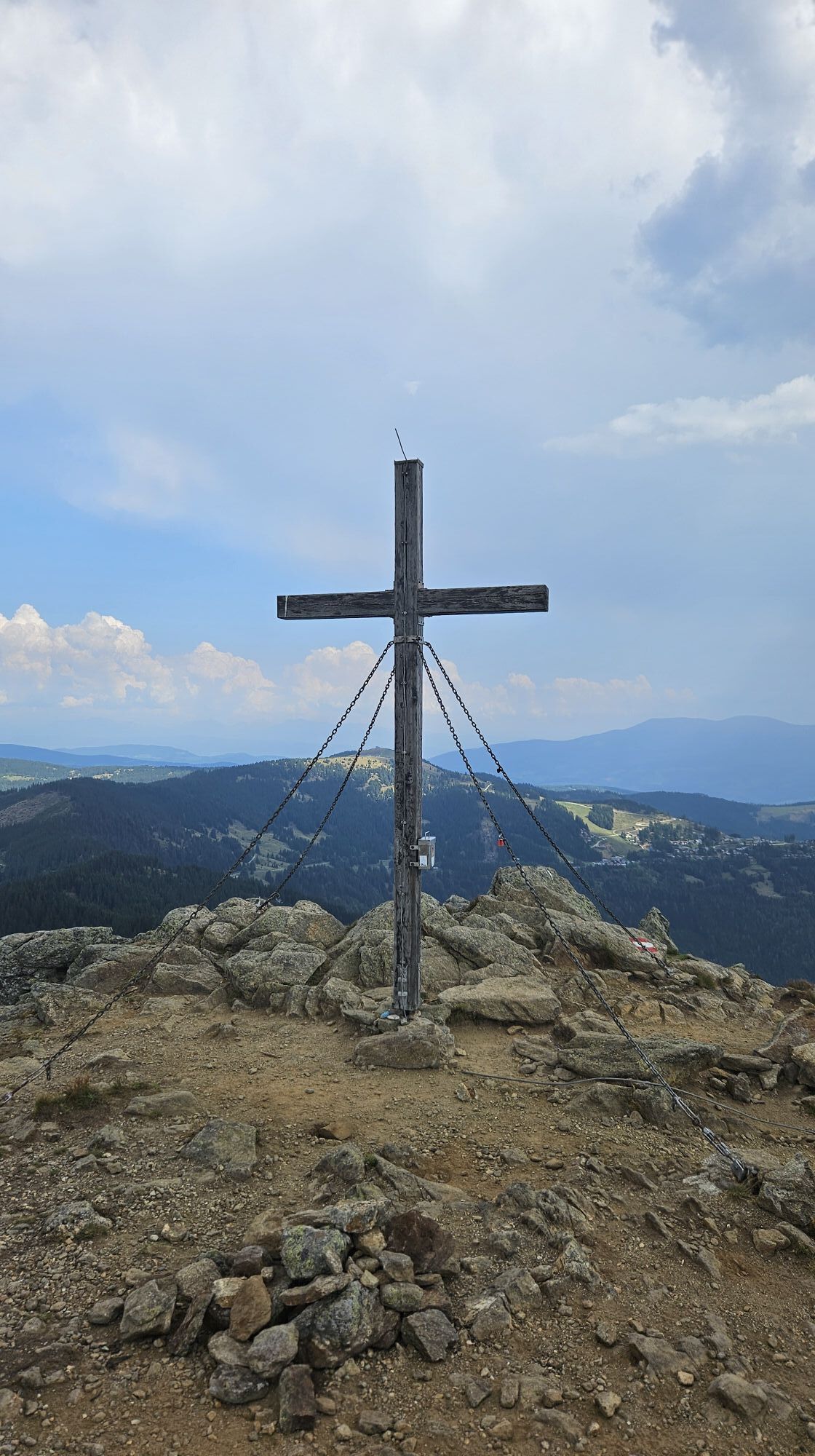
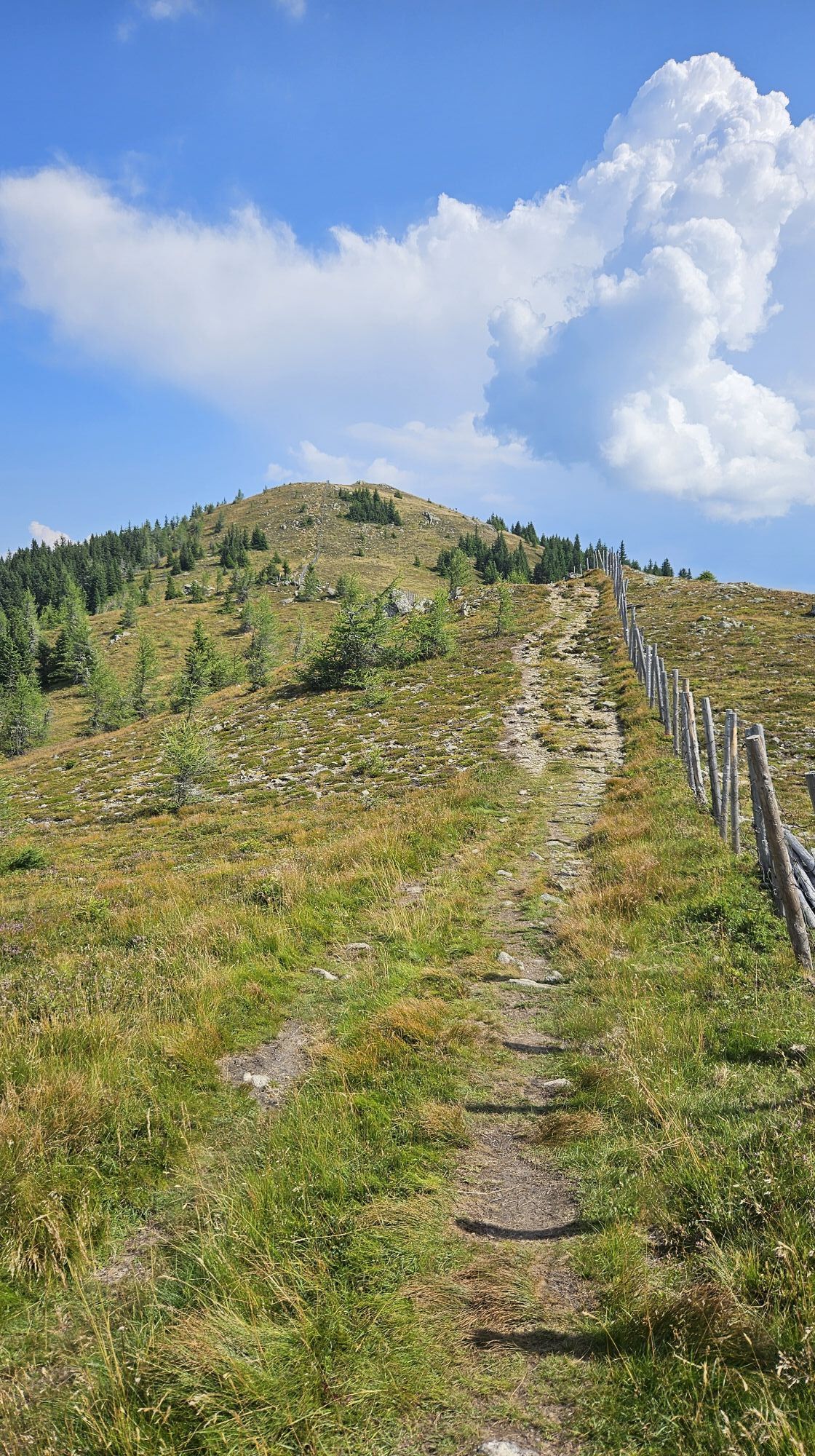
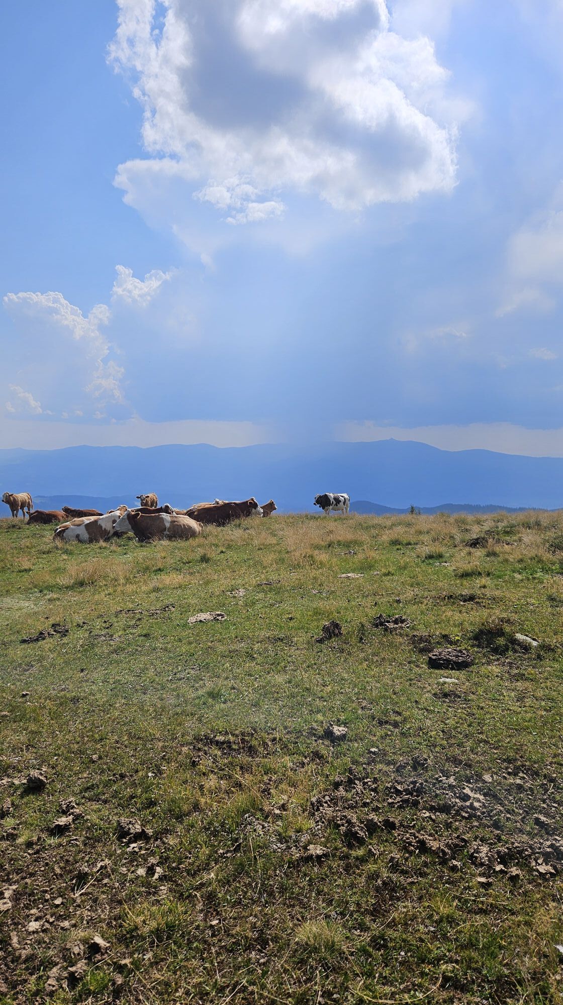
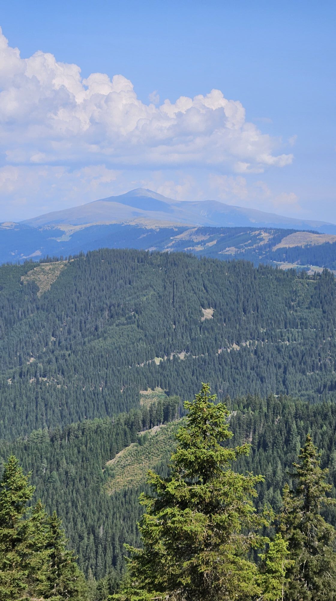
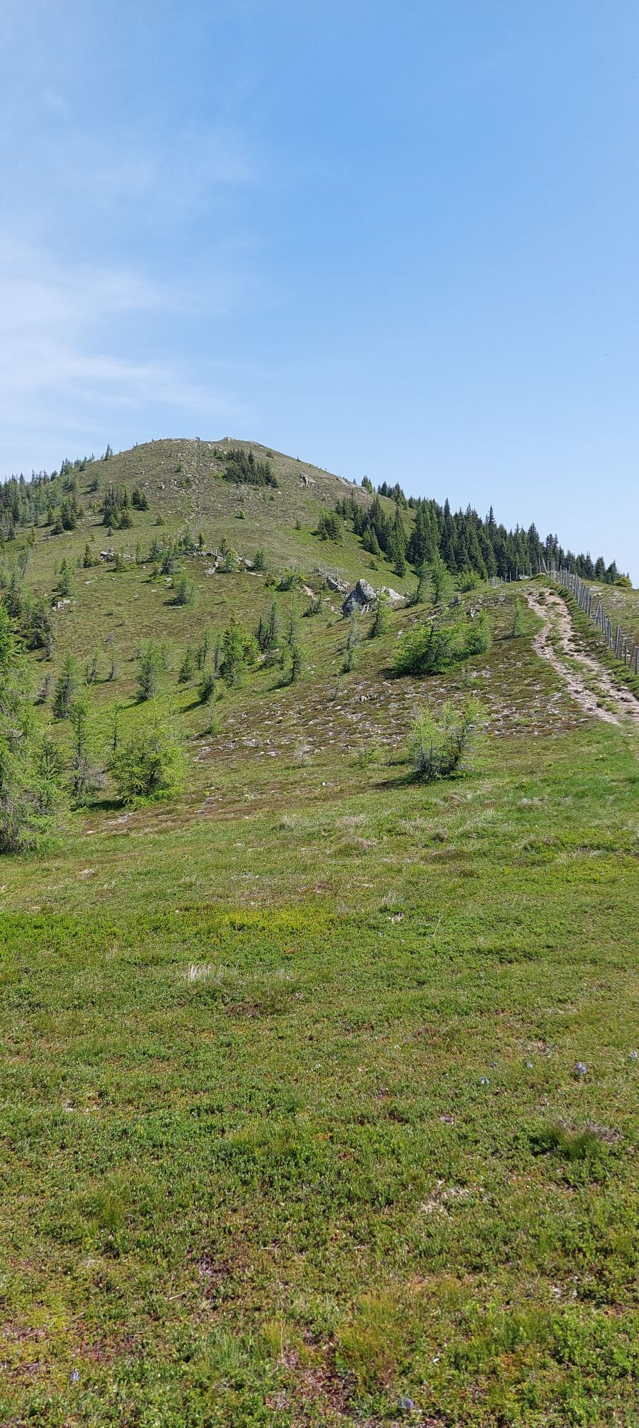
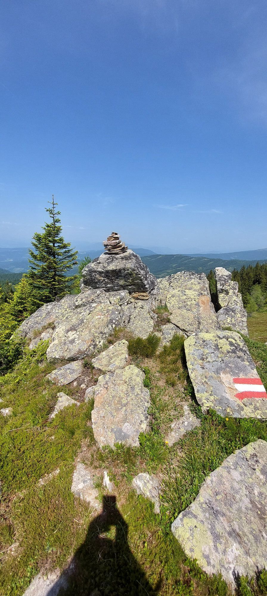
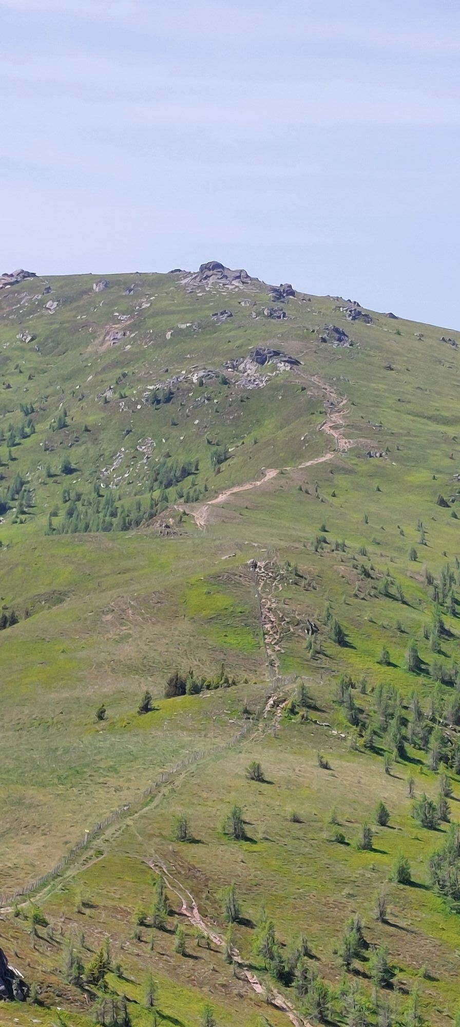
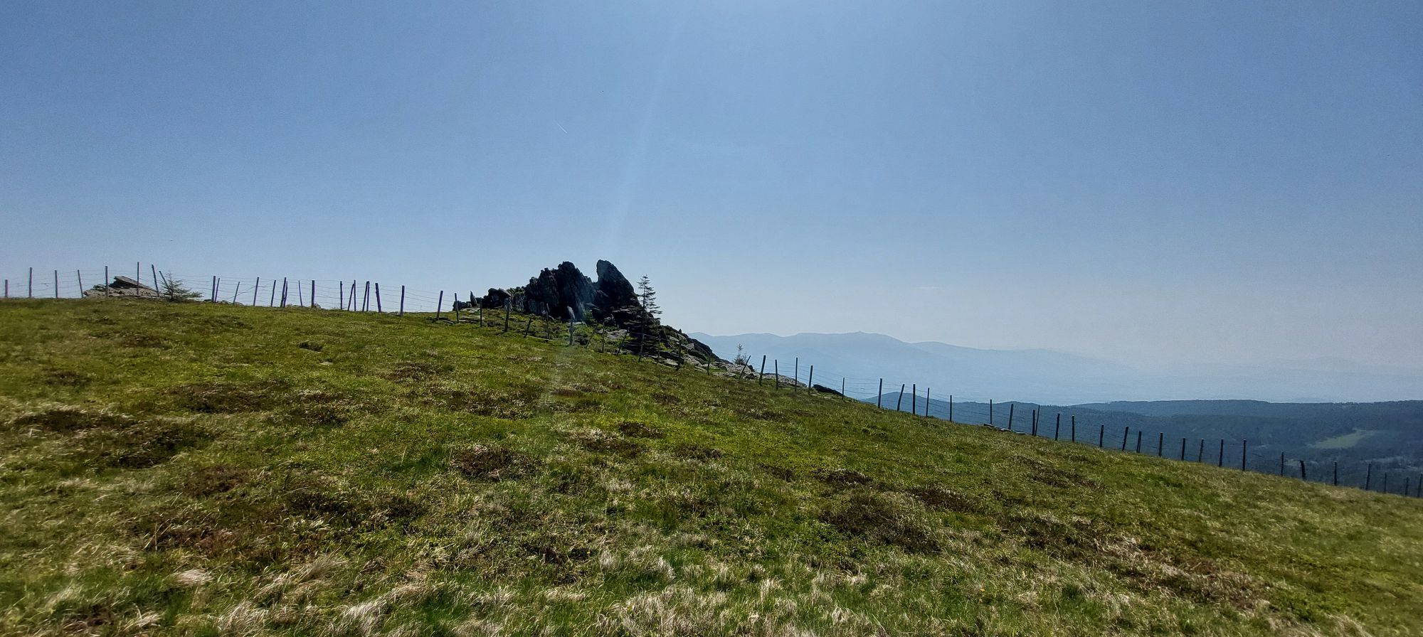
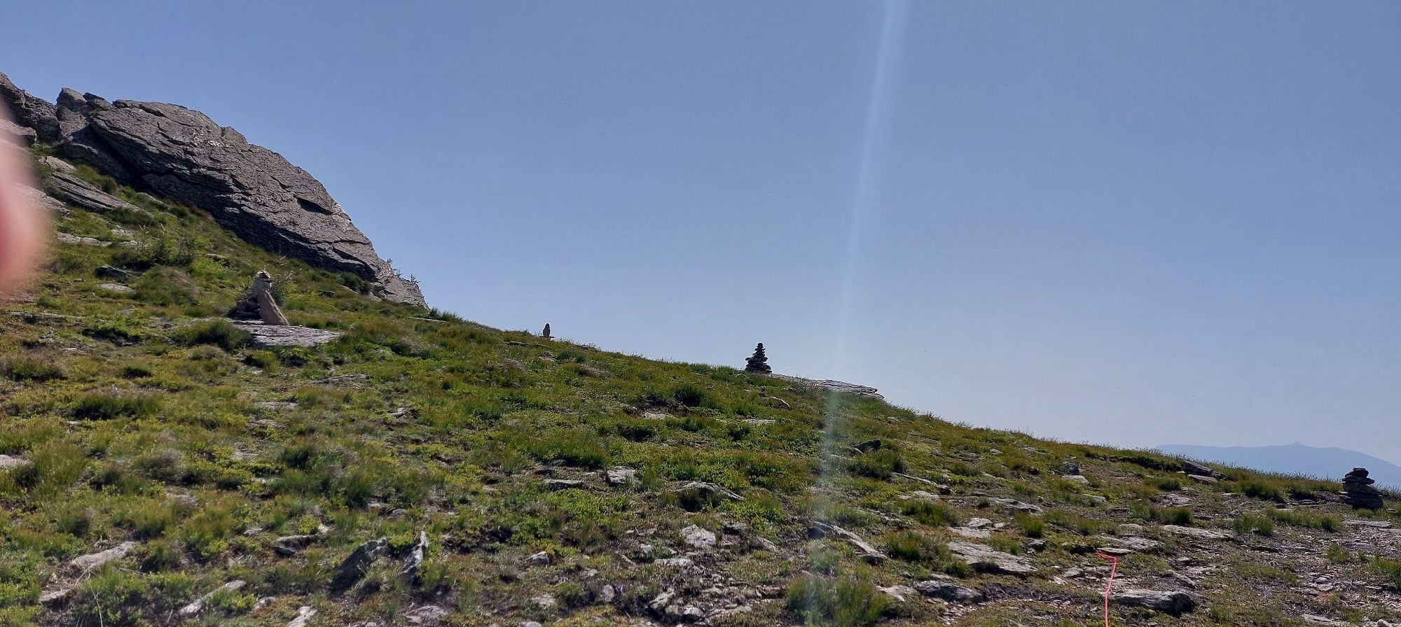
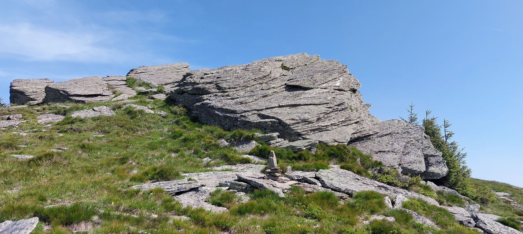
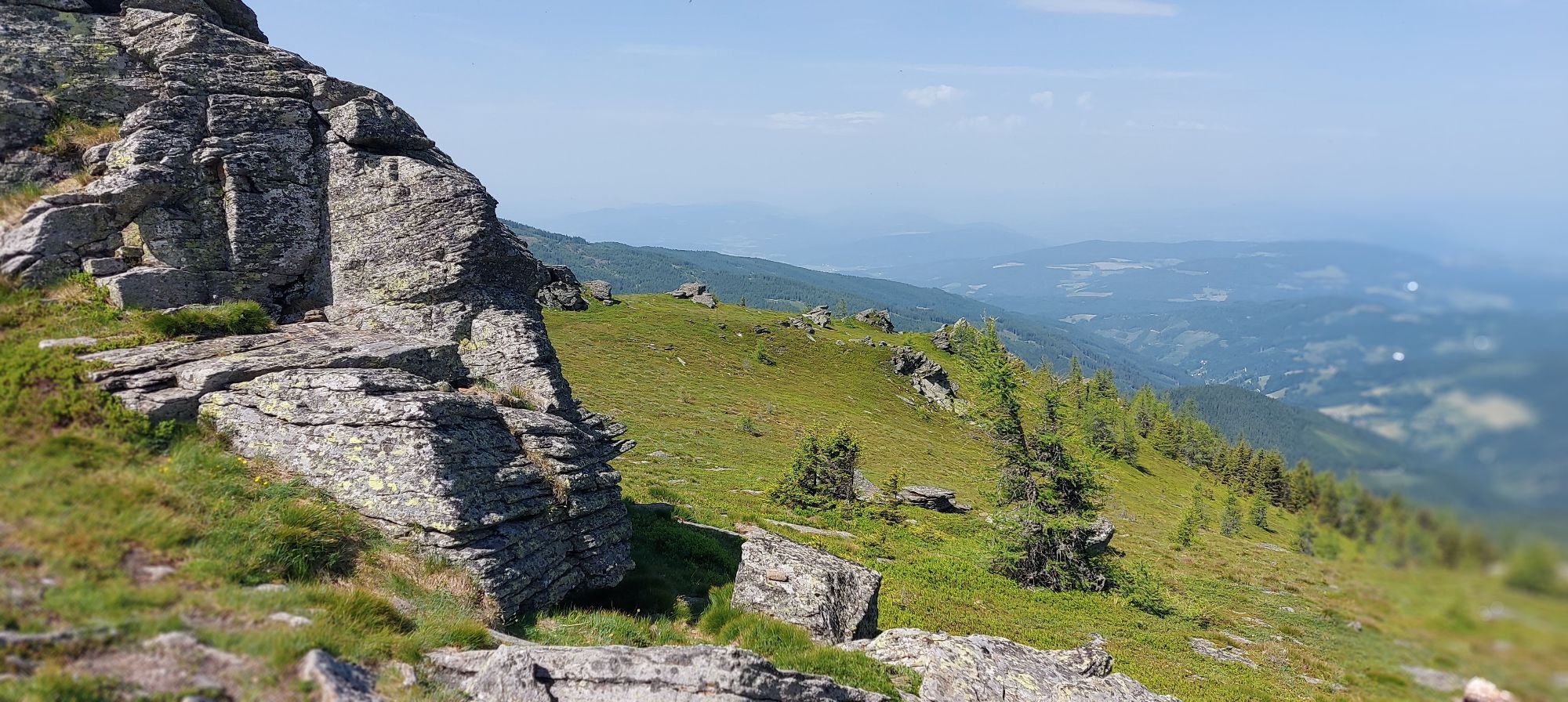
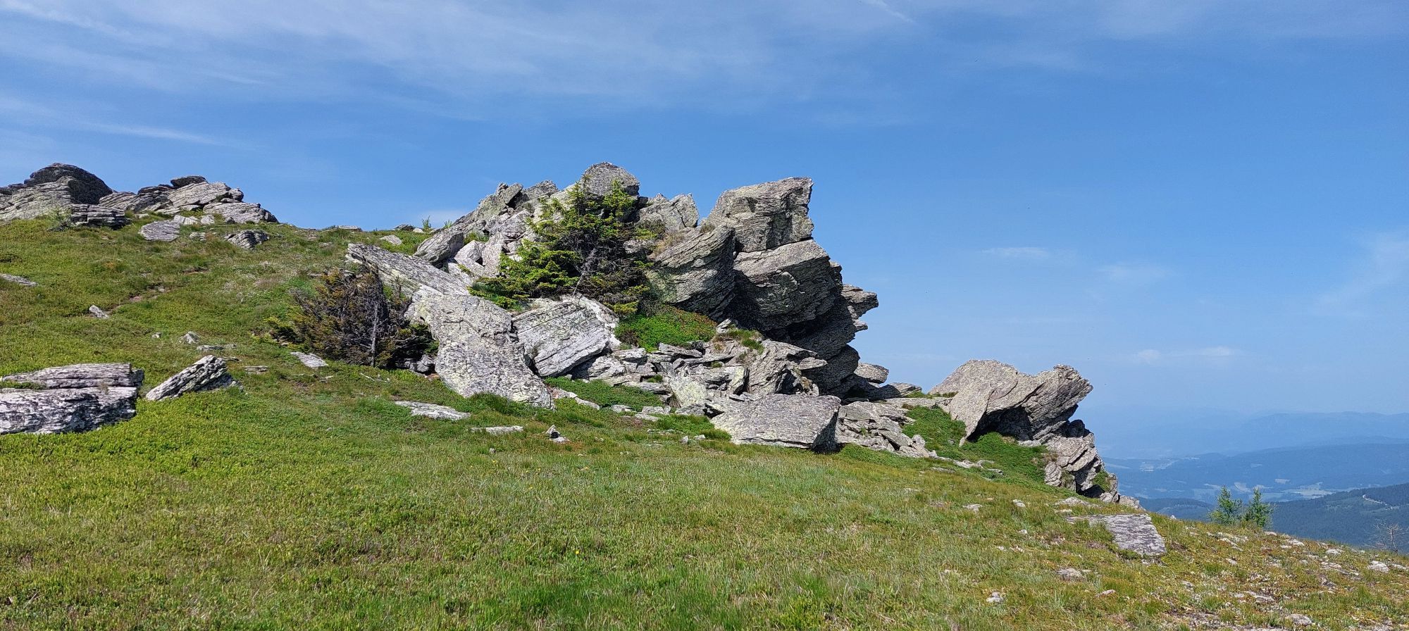
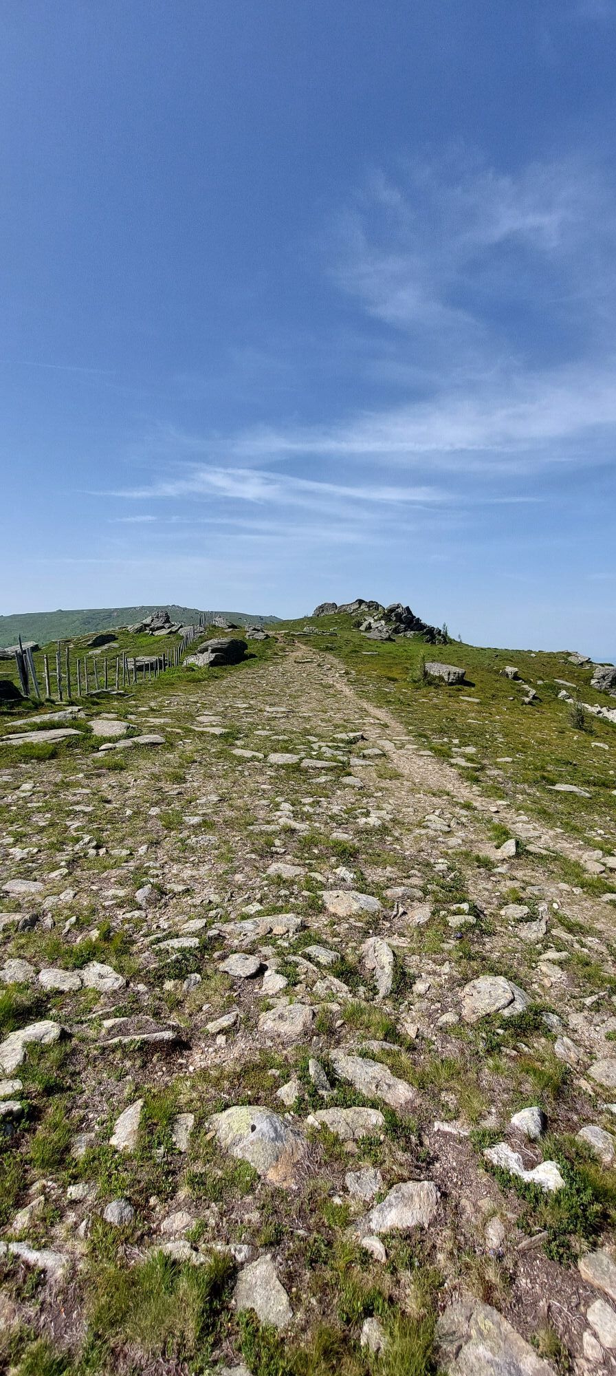
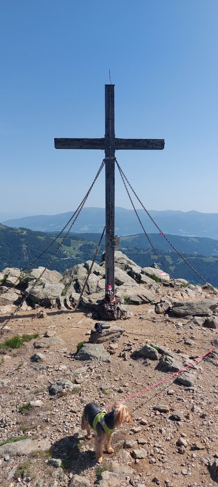
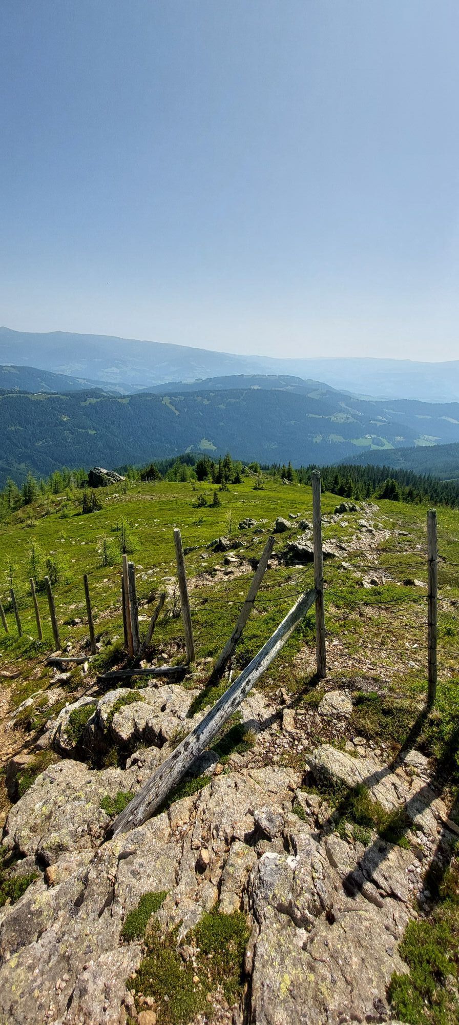
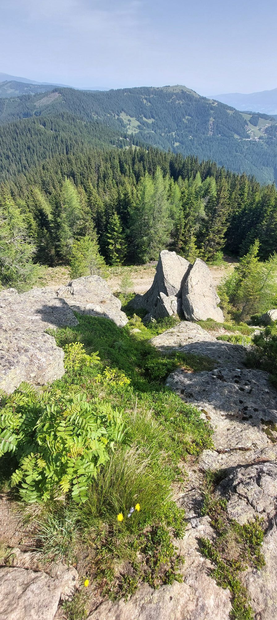
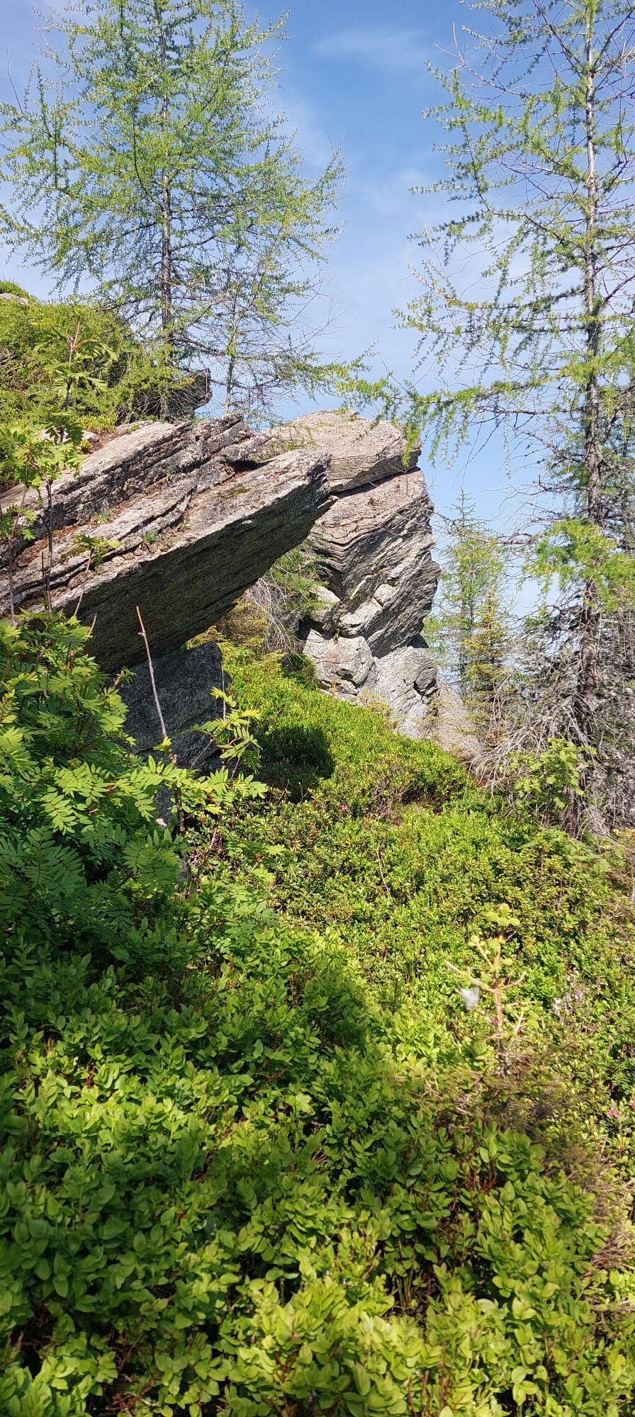
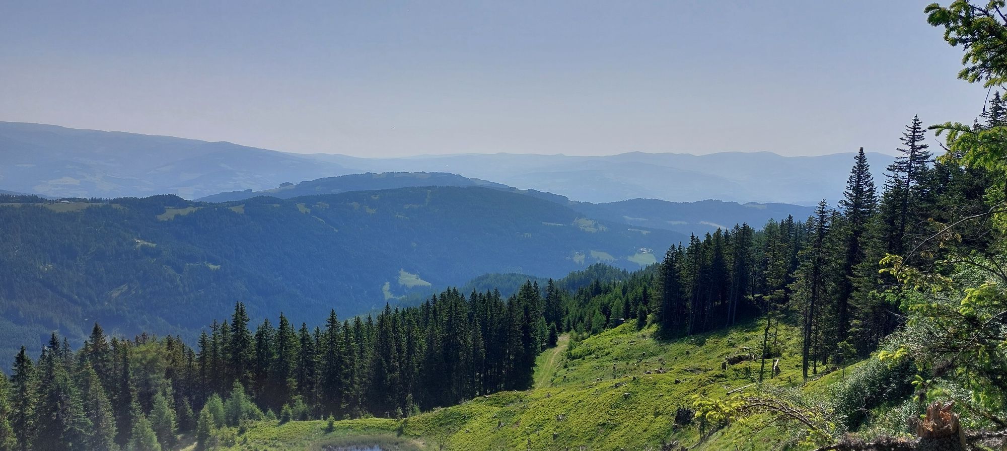
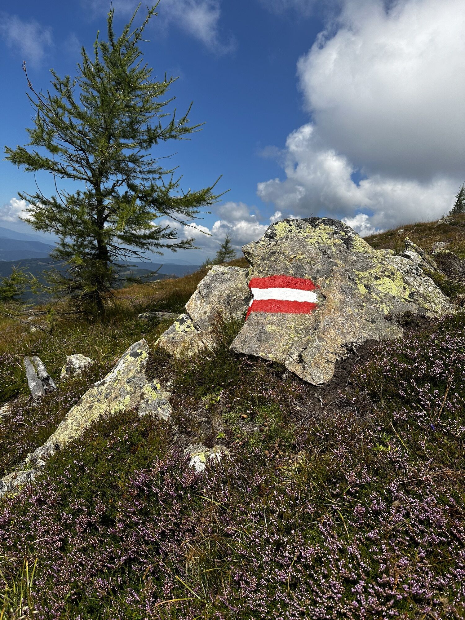
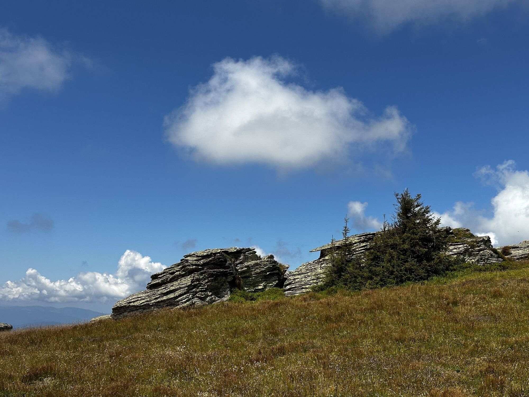
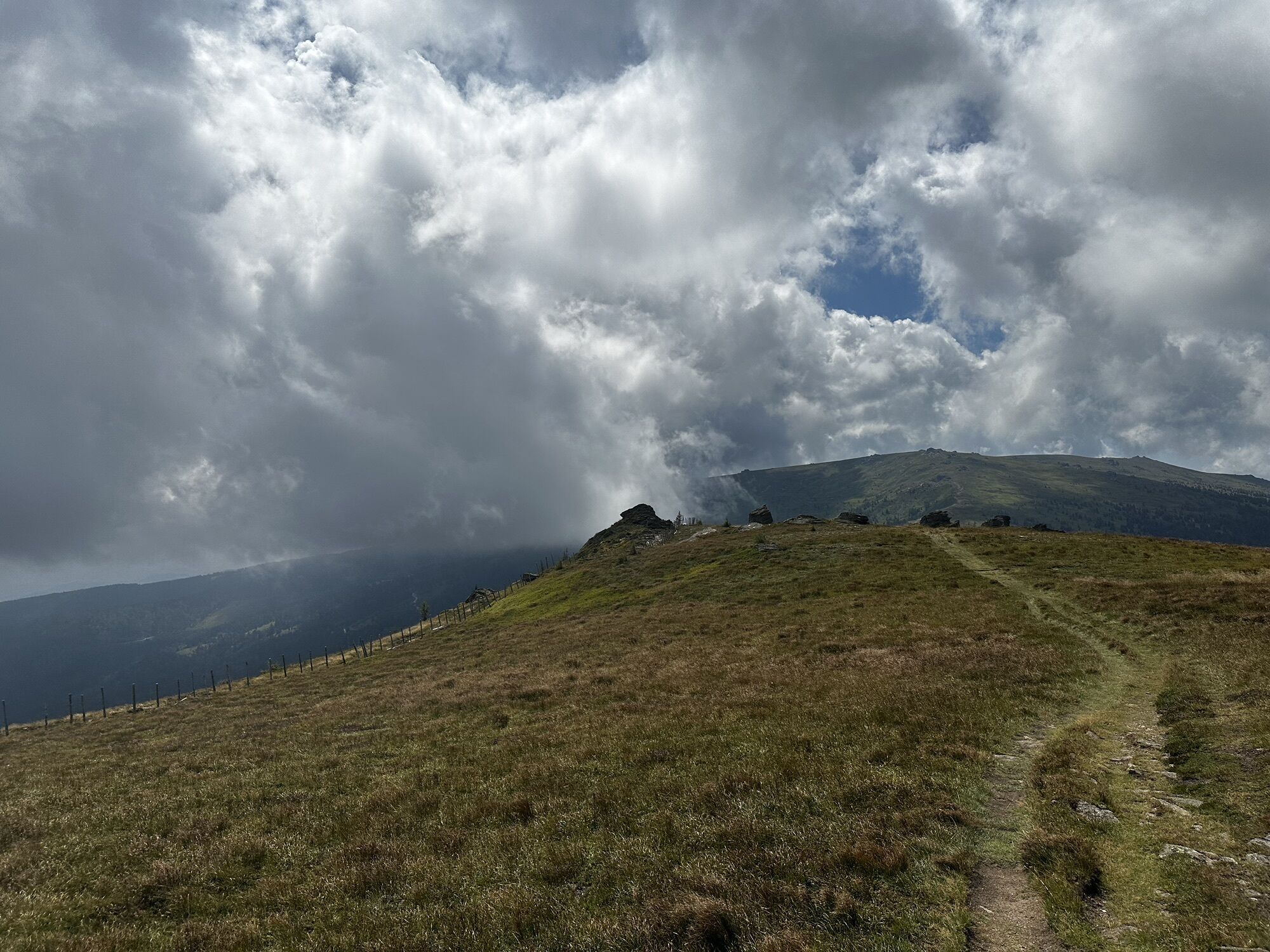
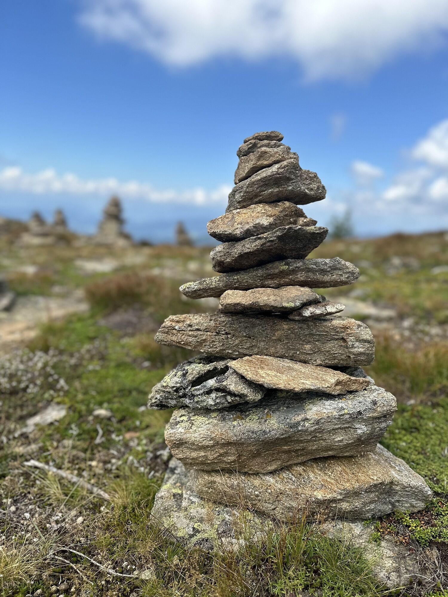
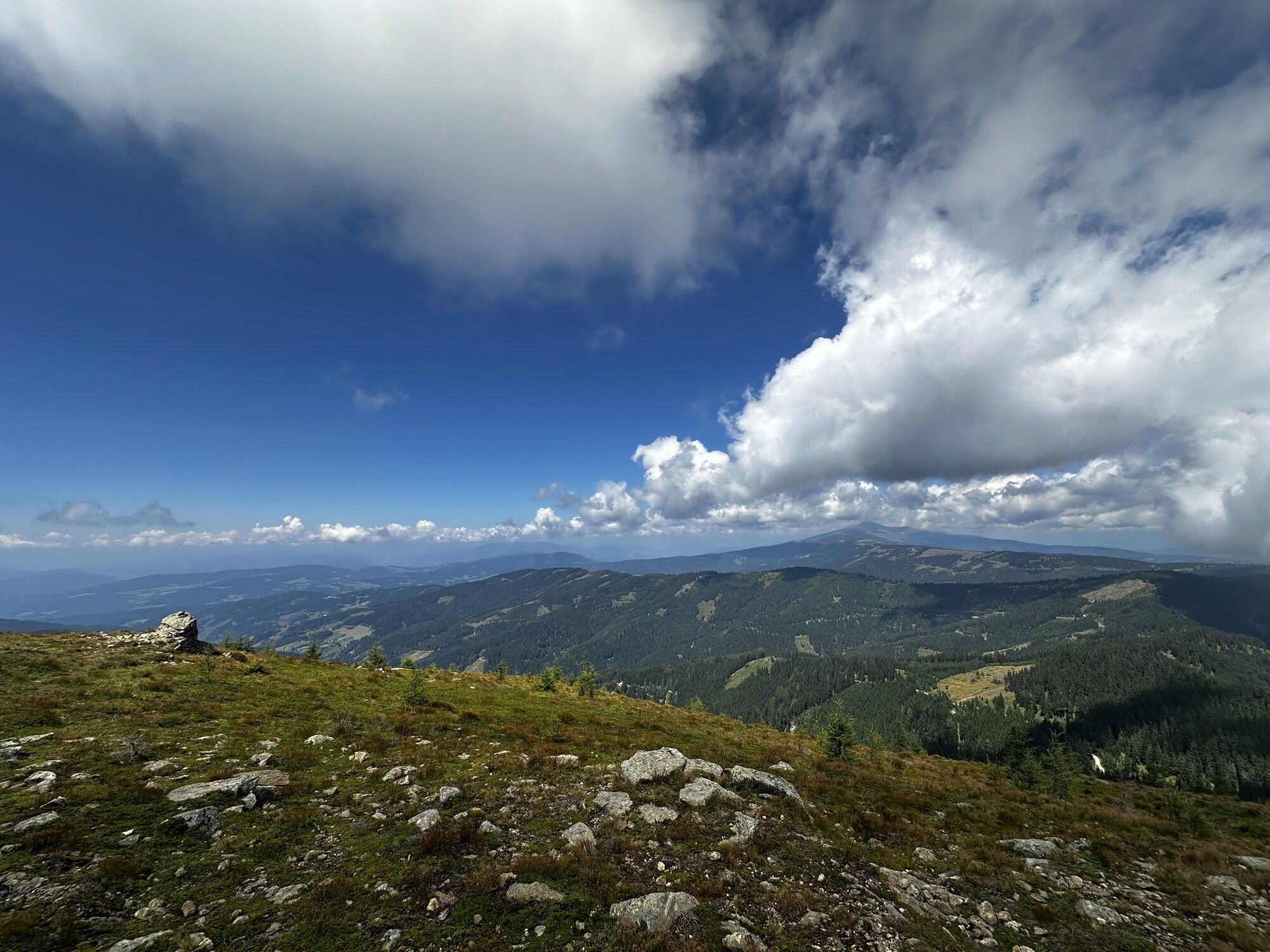
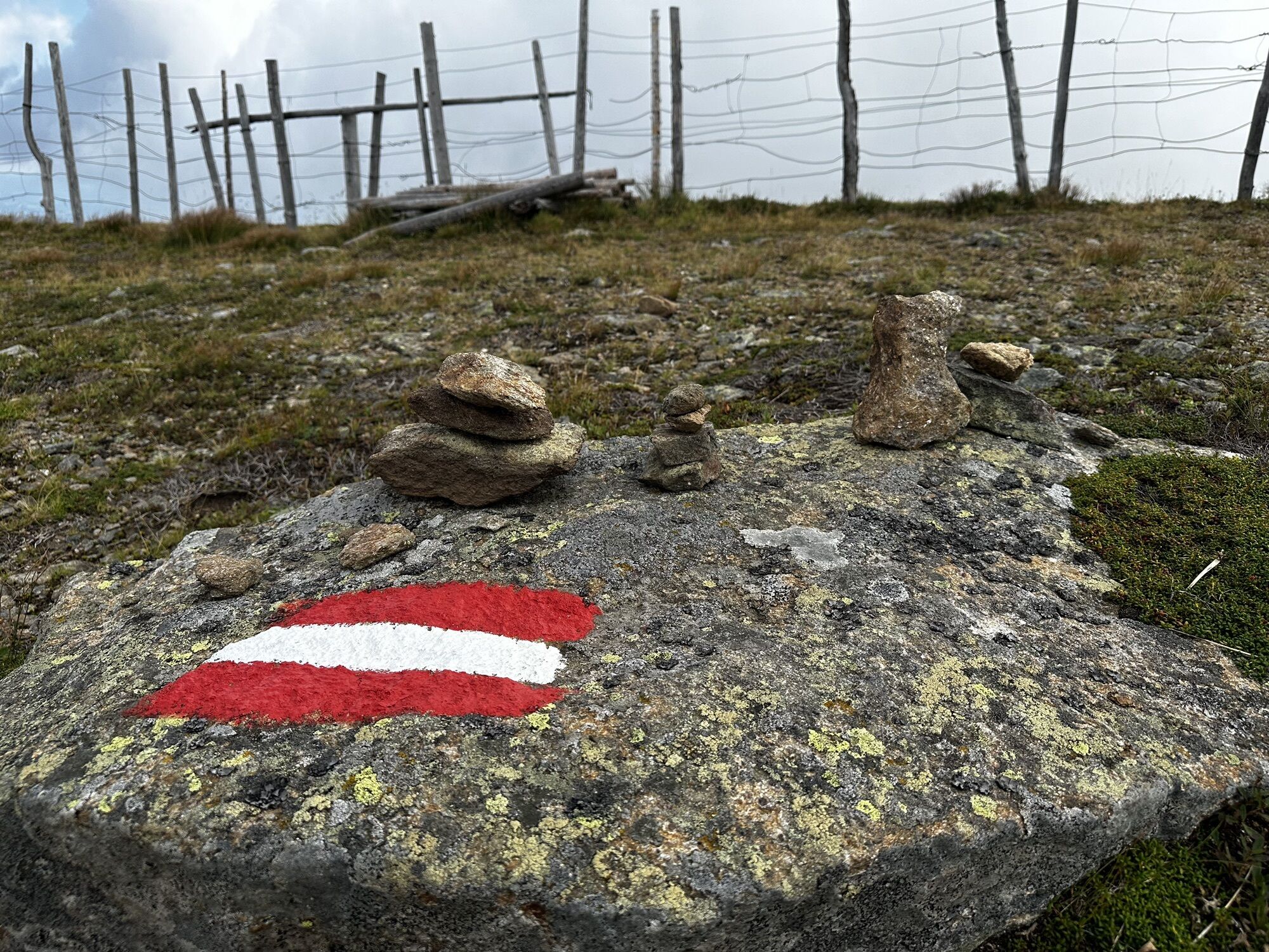
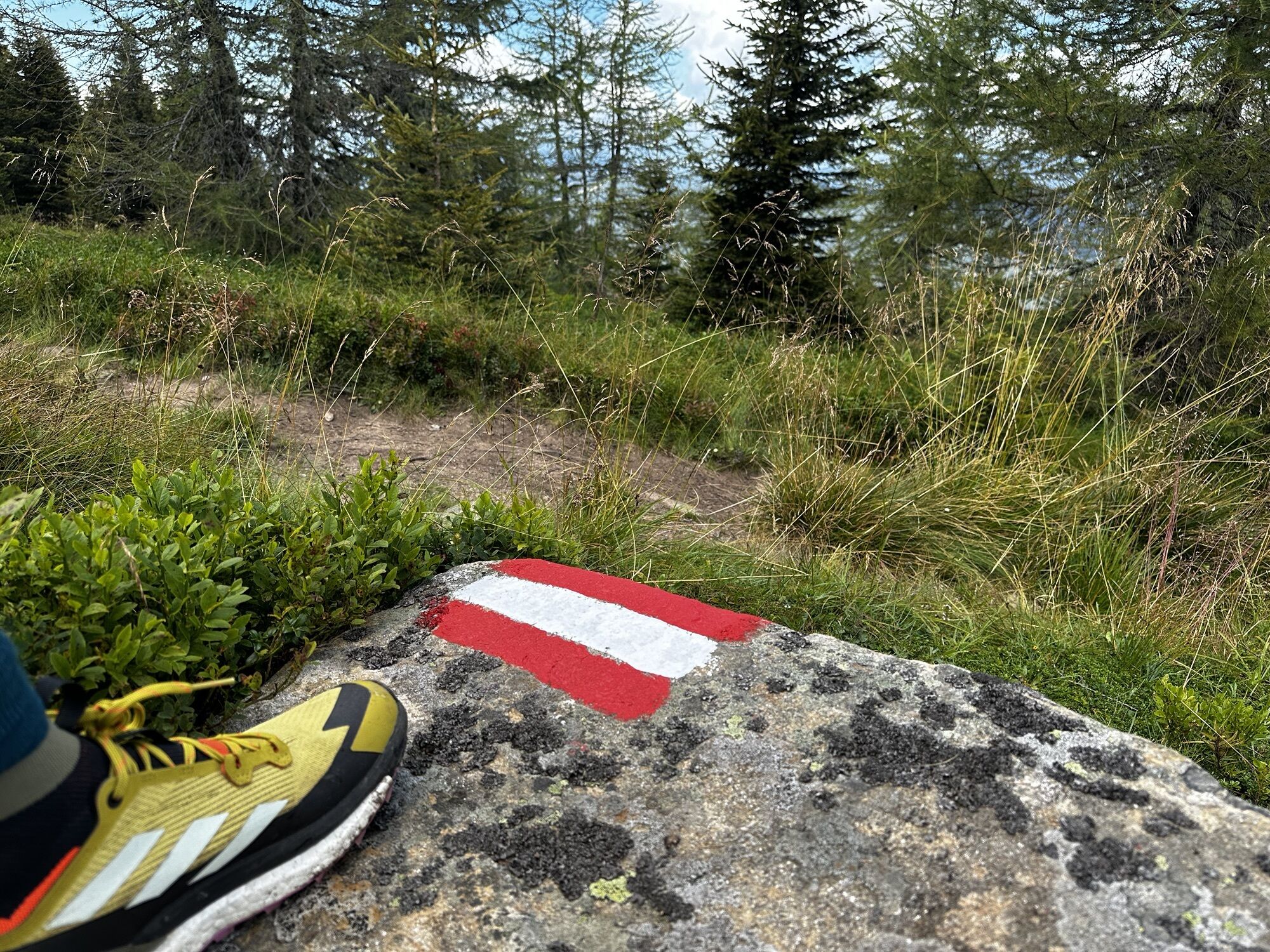
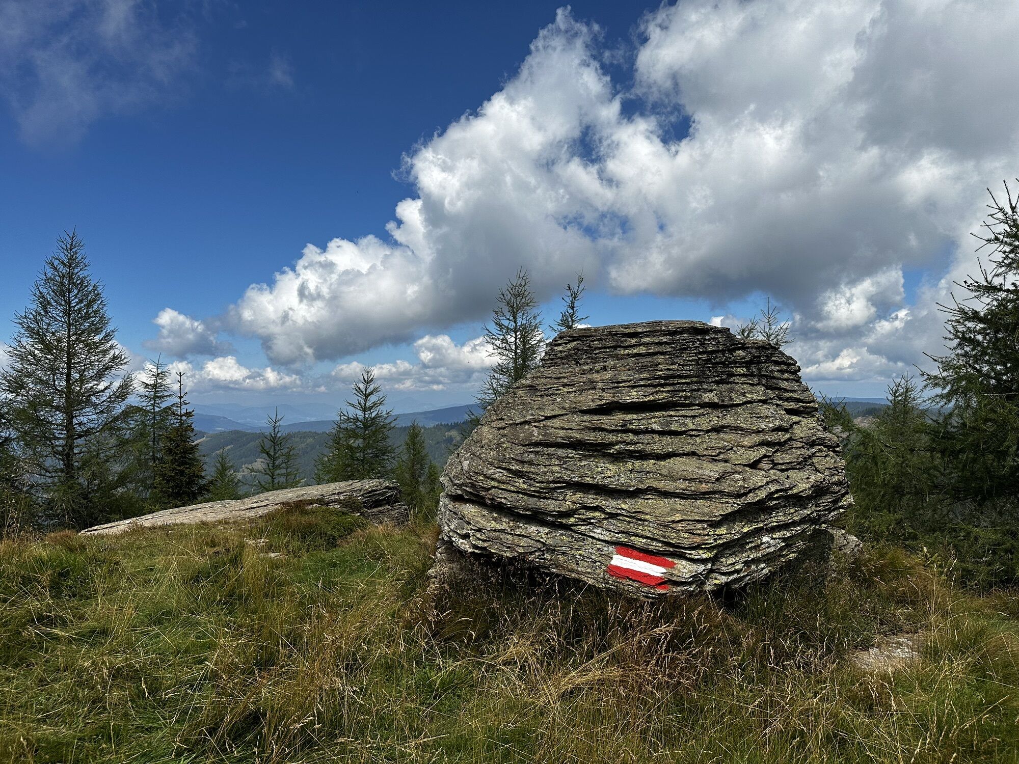
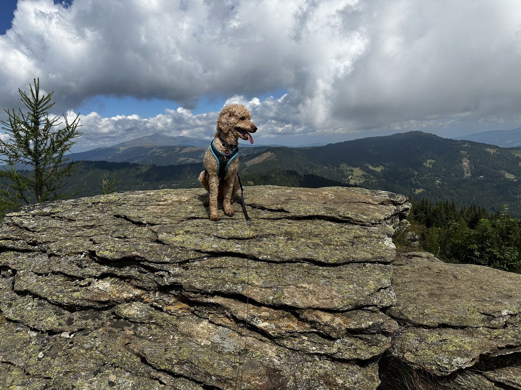
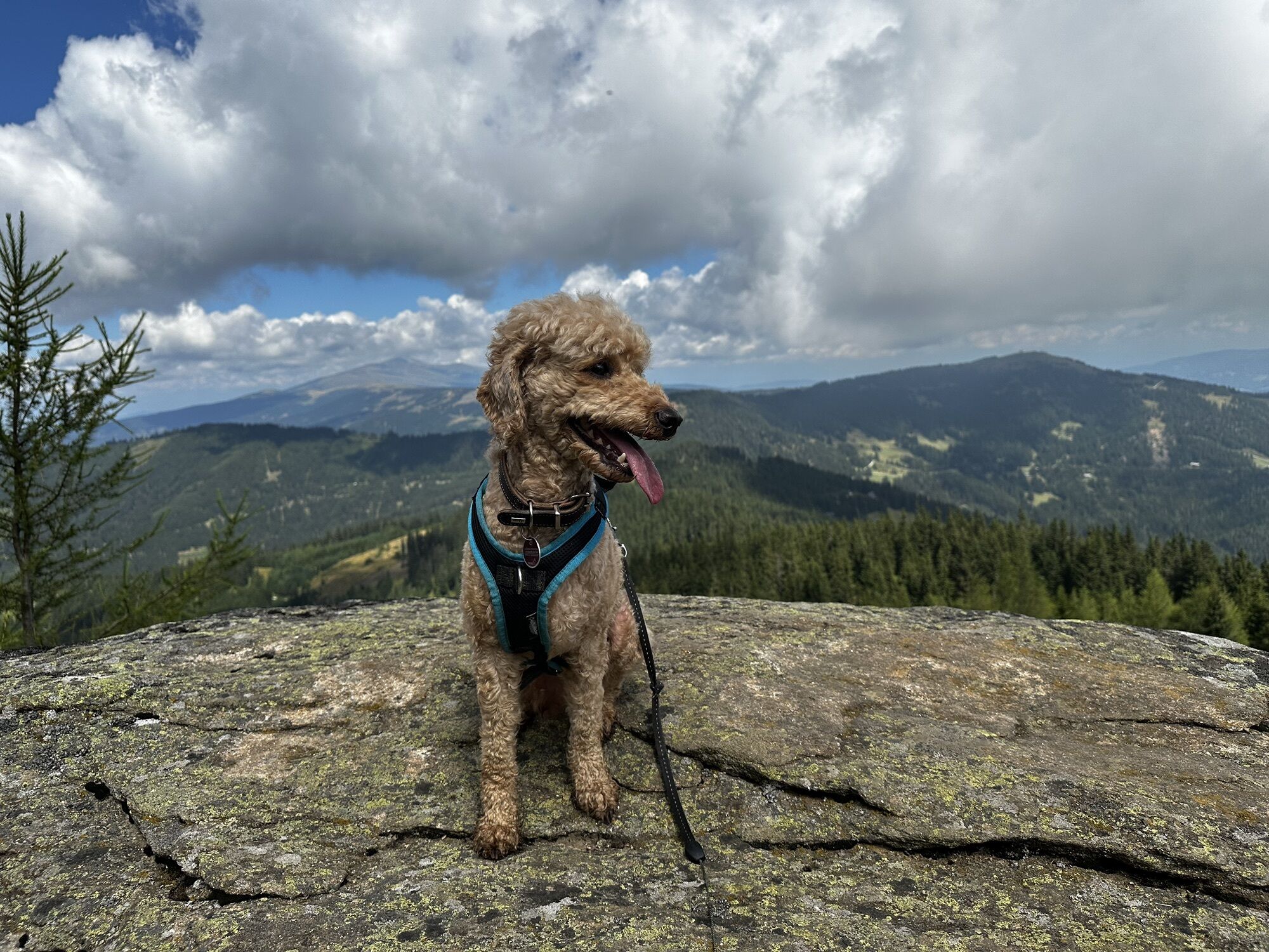
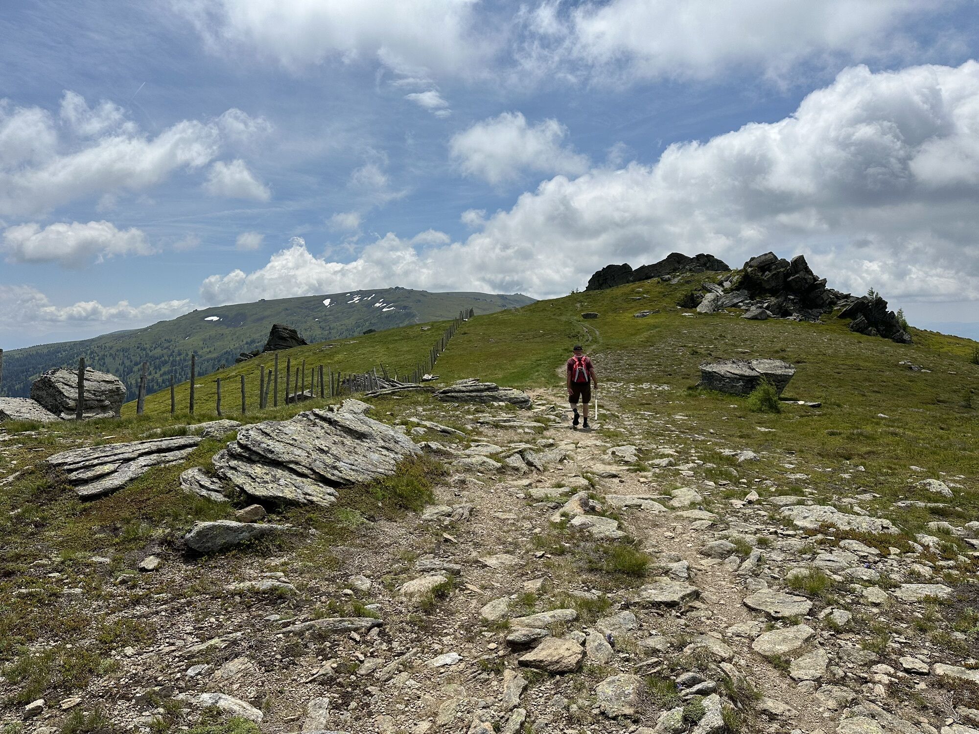
The Geierkogel loop trail no. G is a beautiful circular route with wonderful views across the whole Lavanttal and Görtschitztal. From the Geierkogel cross you can see the Zirbitzkogel to the north, the...
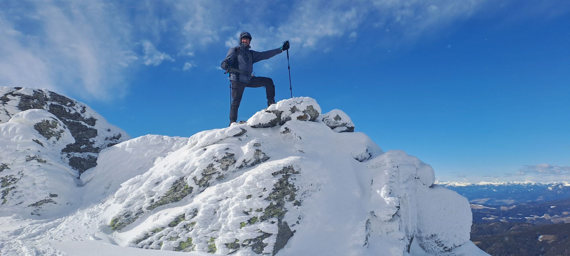
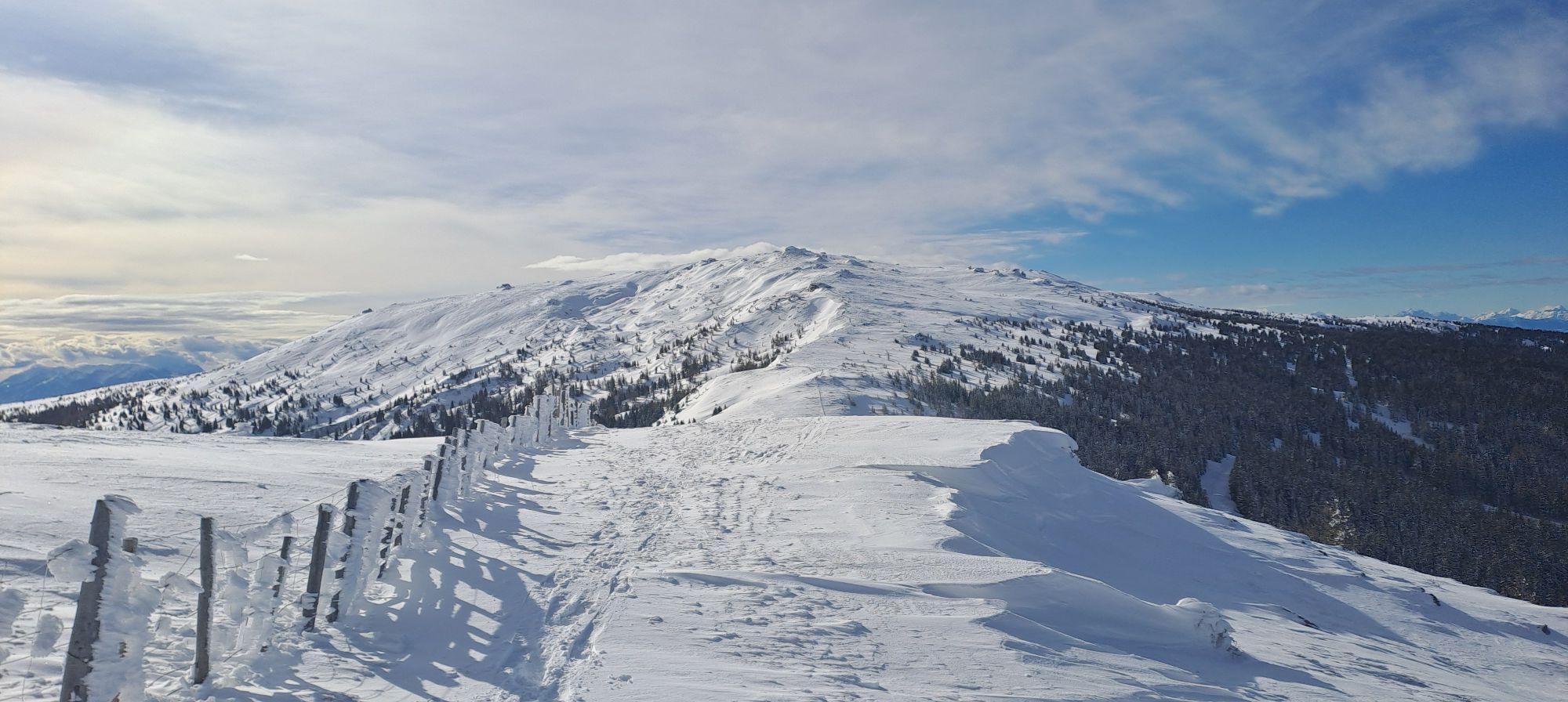
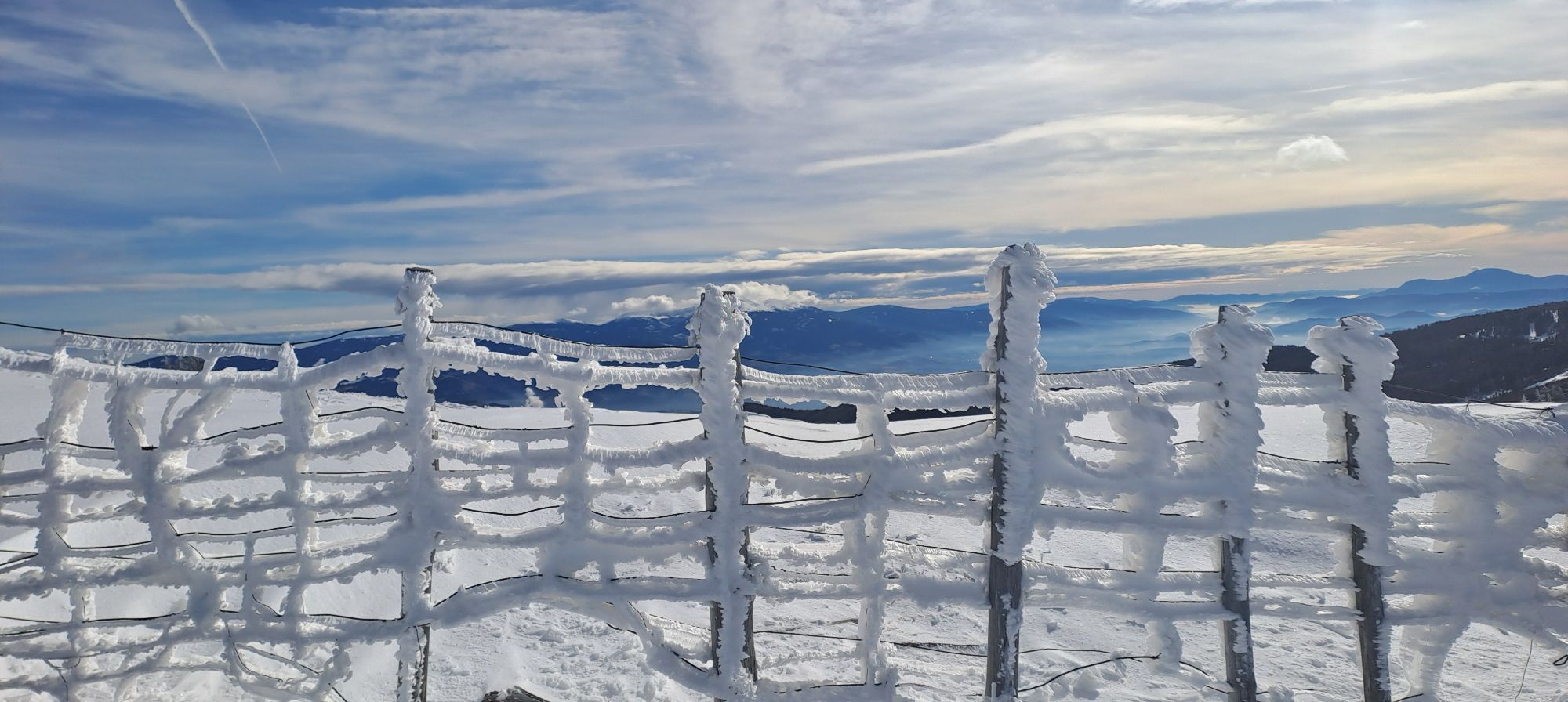
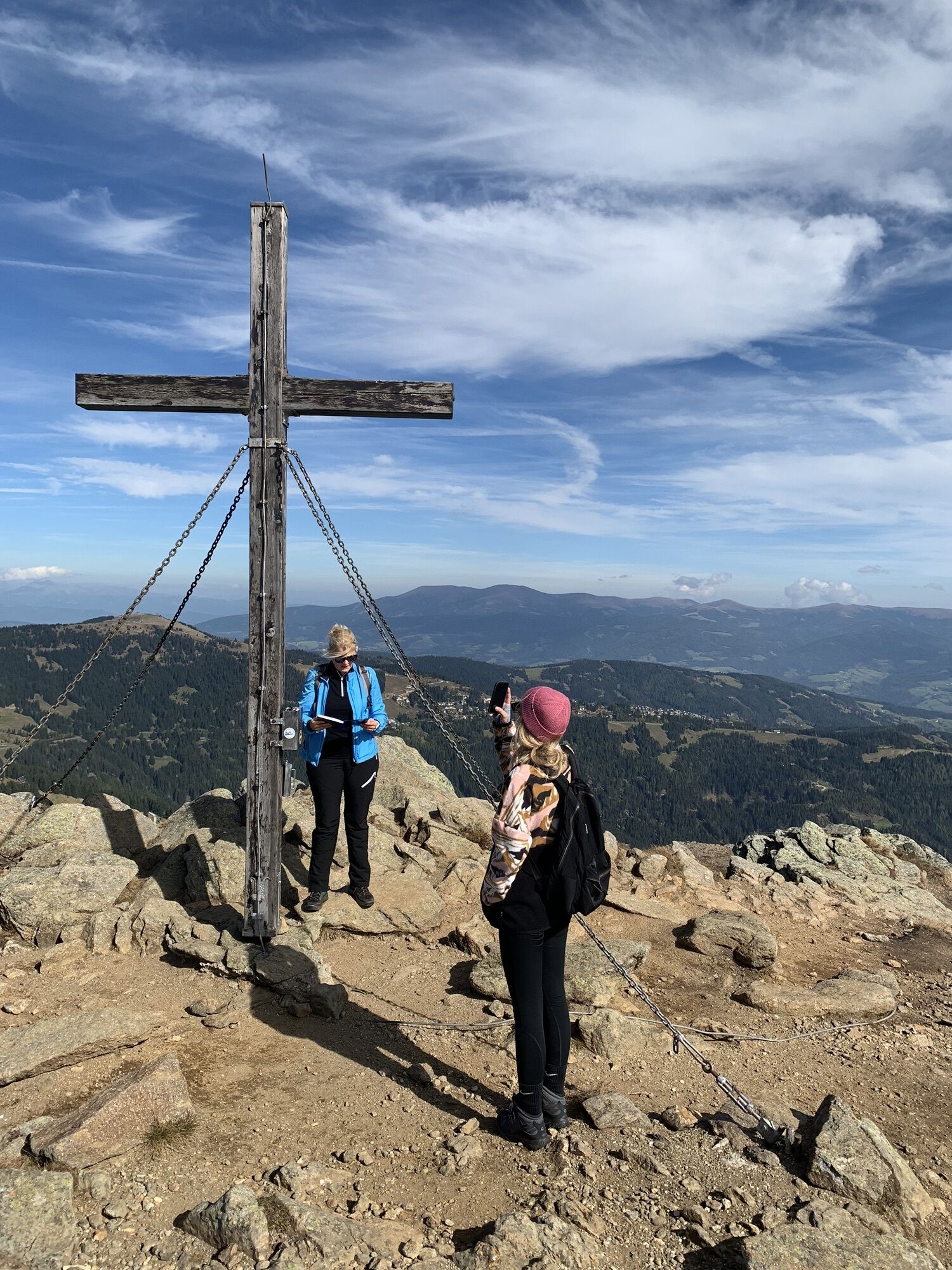
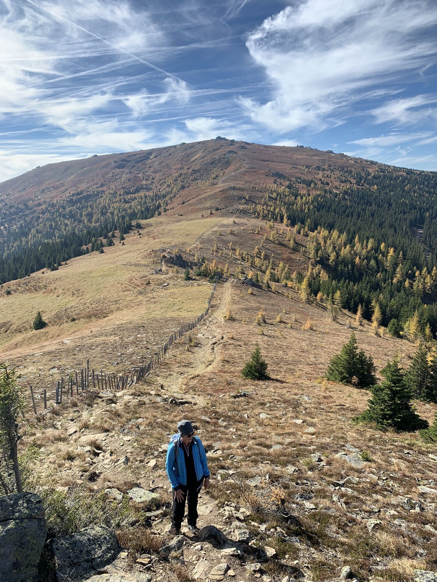
The Geierkogel loop trail no. G is a beautiful circular route with wonderful views across the whole Lavanttal and Görtschitztal. From the Geierkogel cross you can see the Zirbitzkogel to the north, the Gurktal Alps to the west, the Karawanks to the south, and the Koralpe to the east.
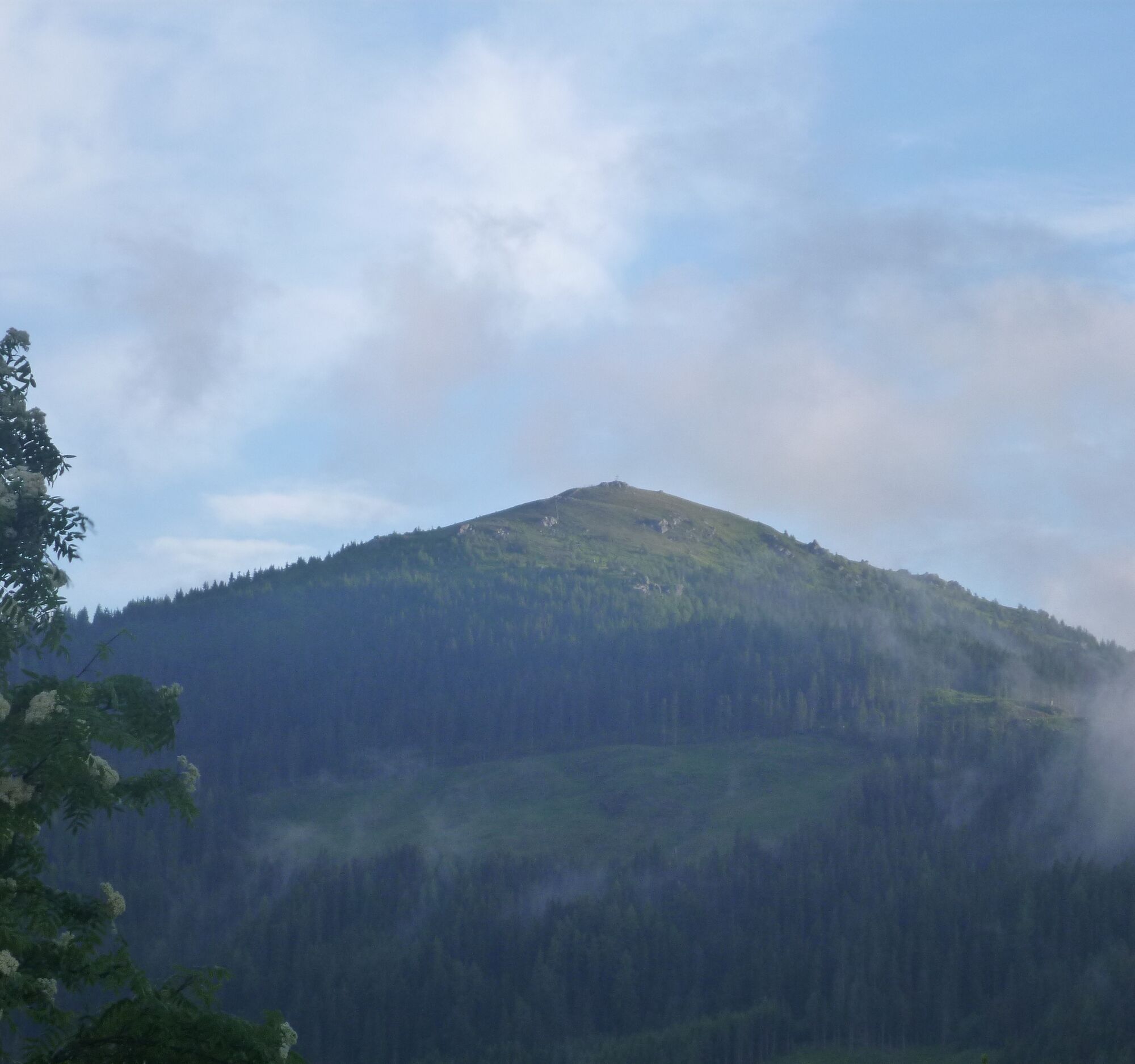
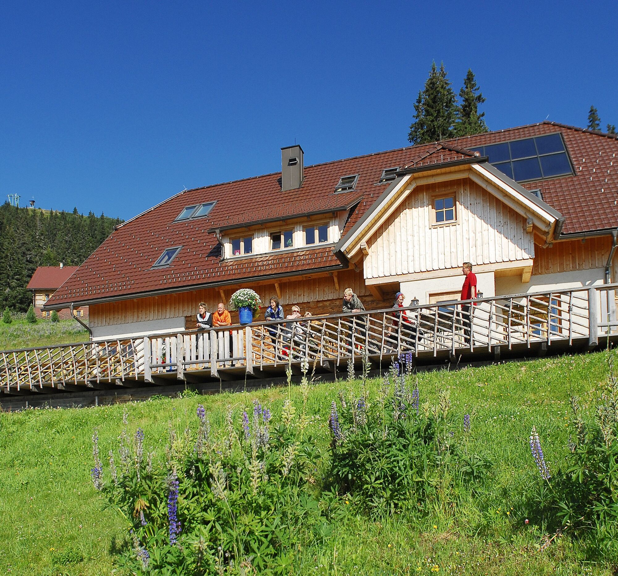
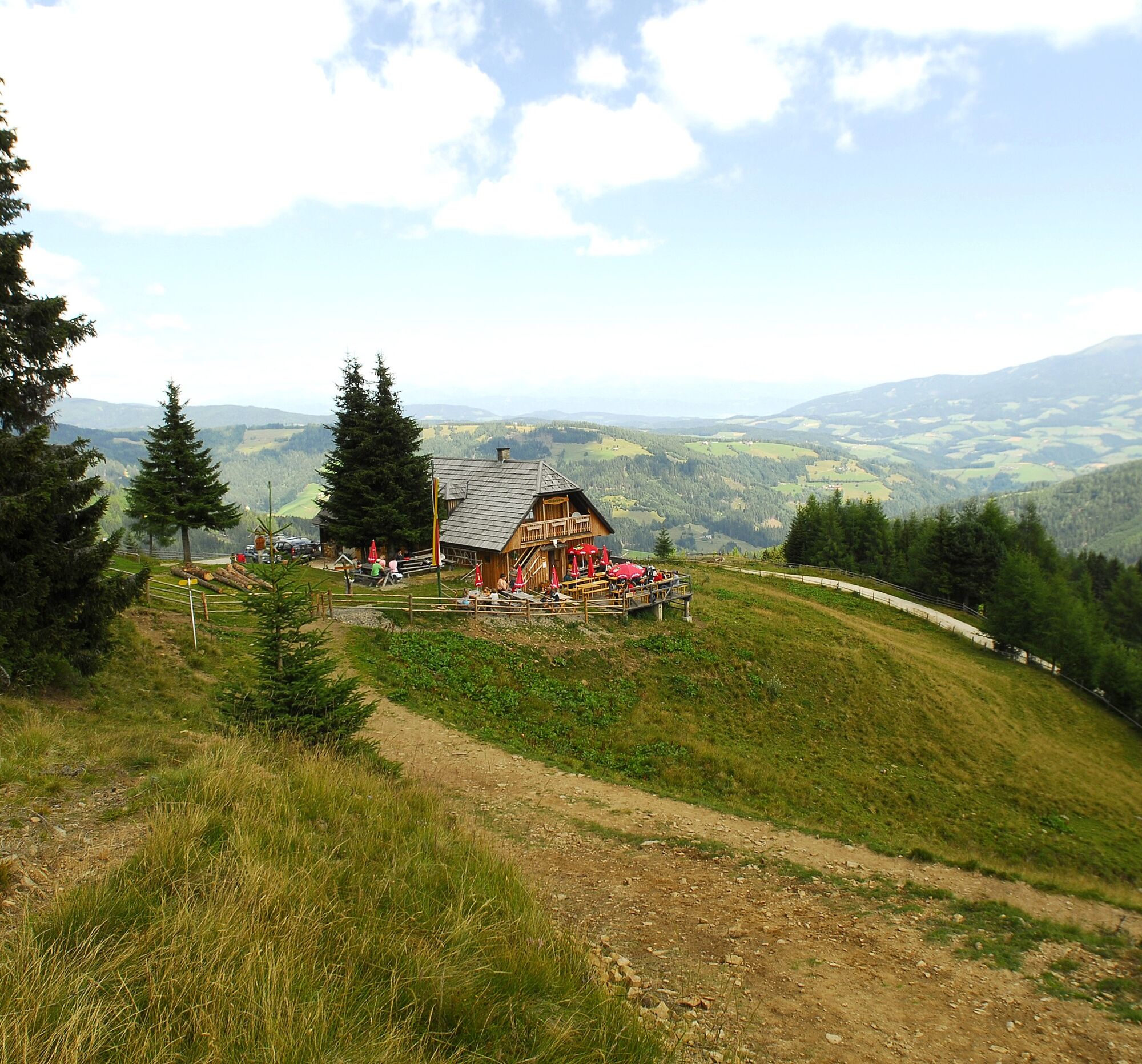
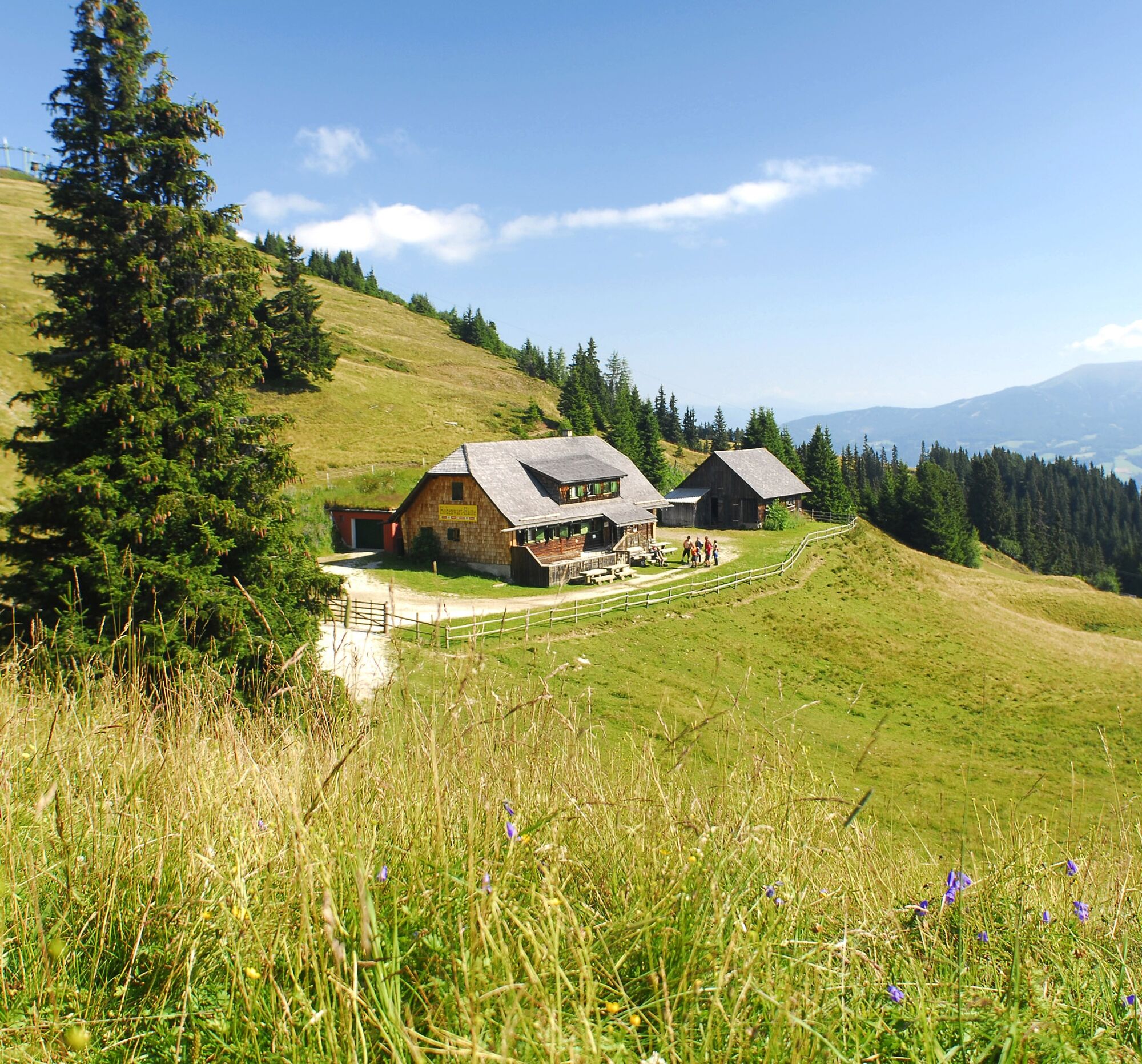
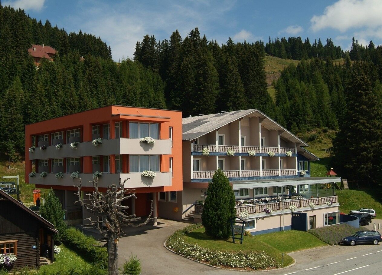
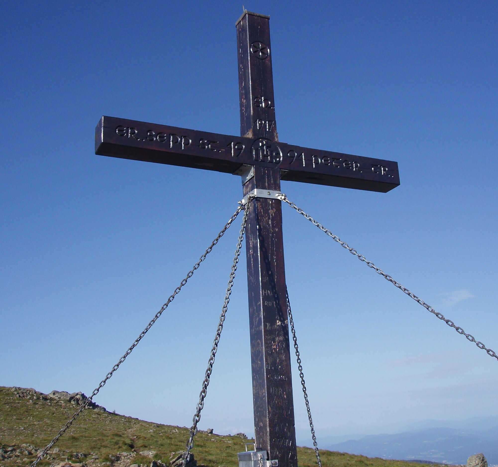
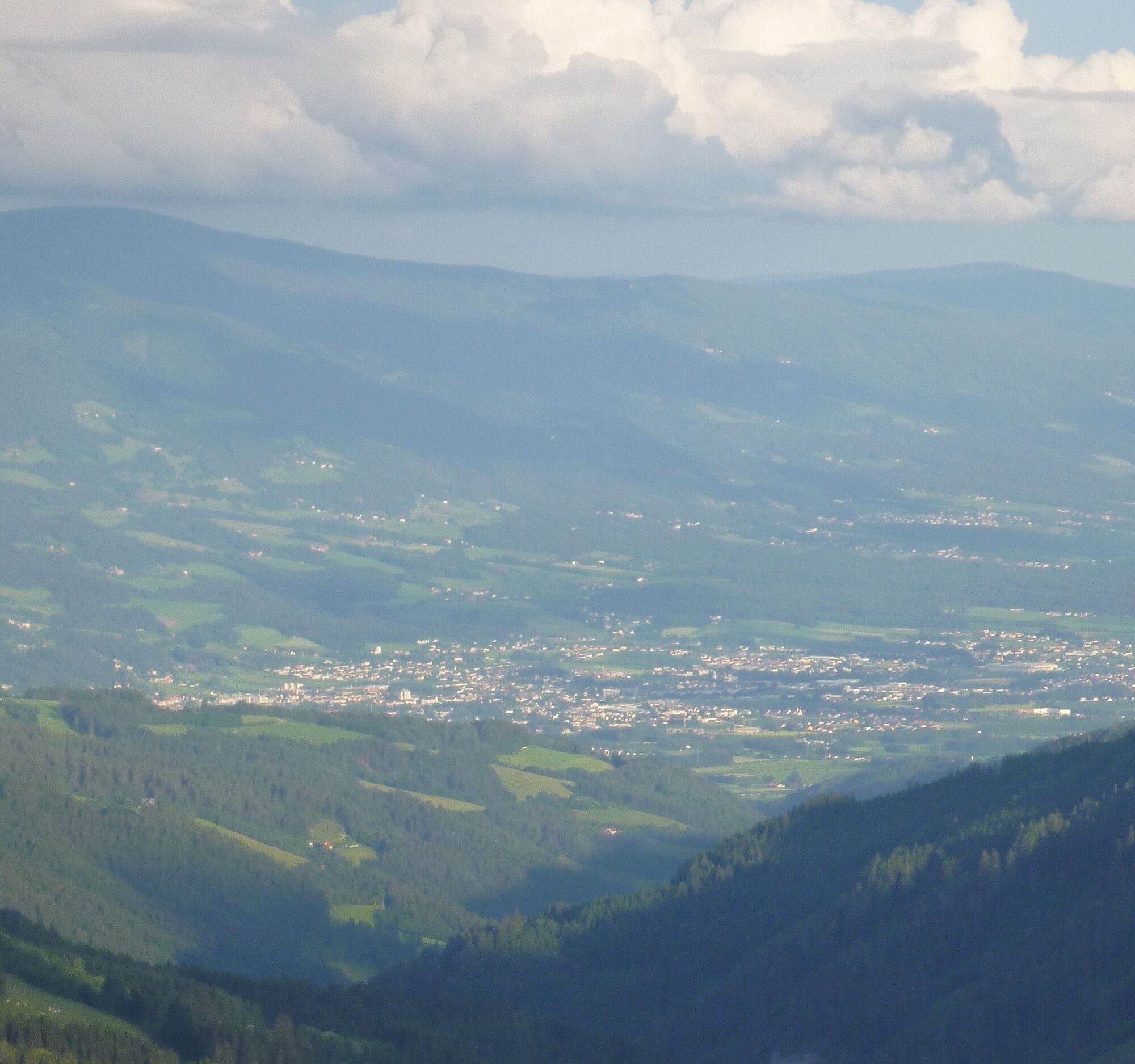

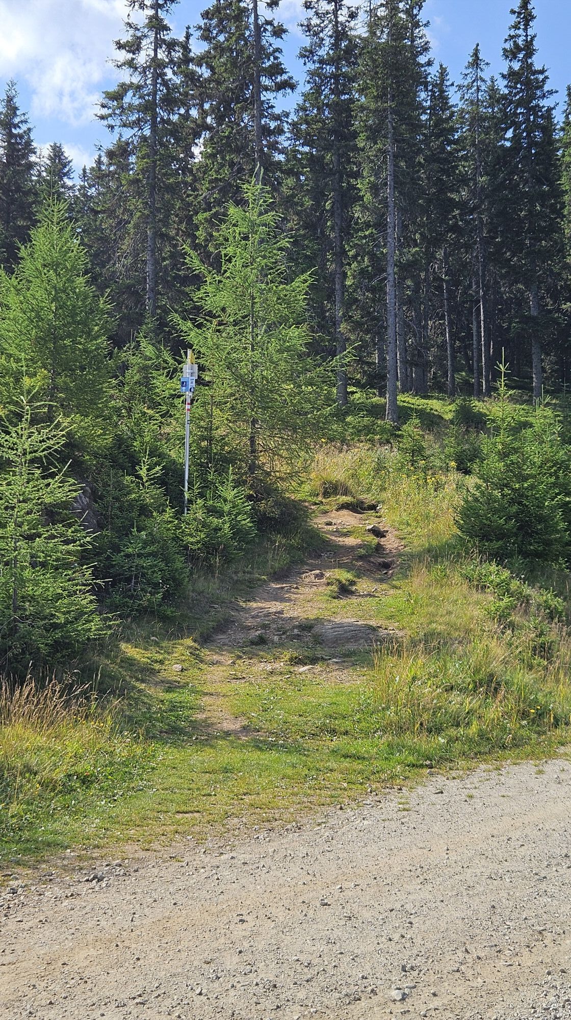
From the car park above the Naturfreundehaus, follow the signs "Geierkogel G". After about an hour's walk, you reach the Geierkogel cross or Geierkogel at 1,917 m.
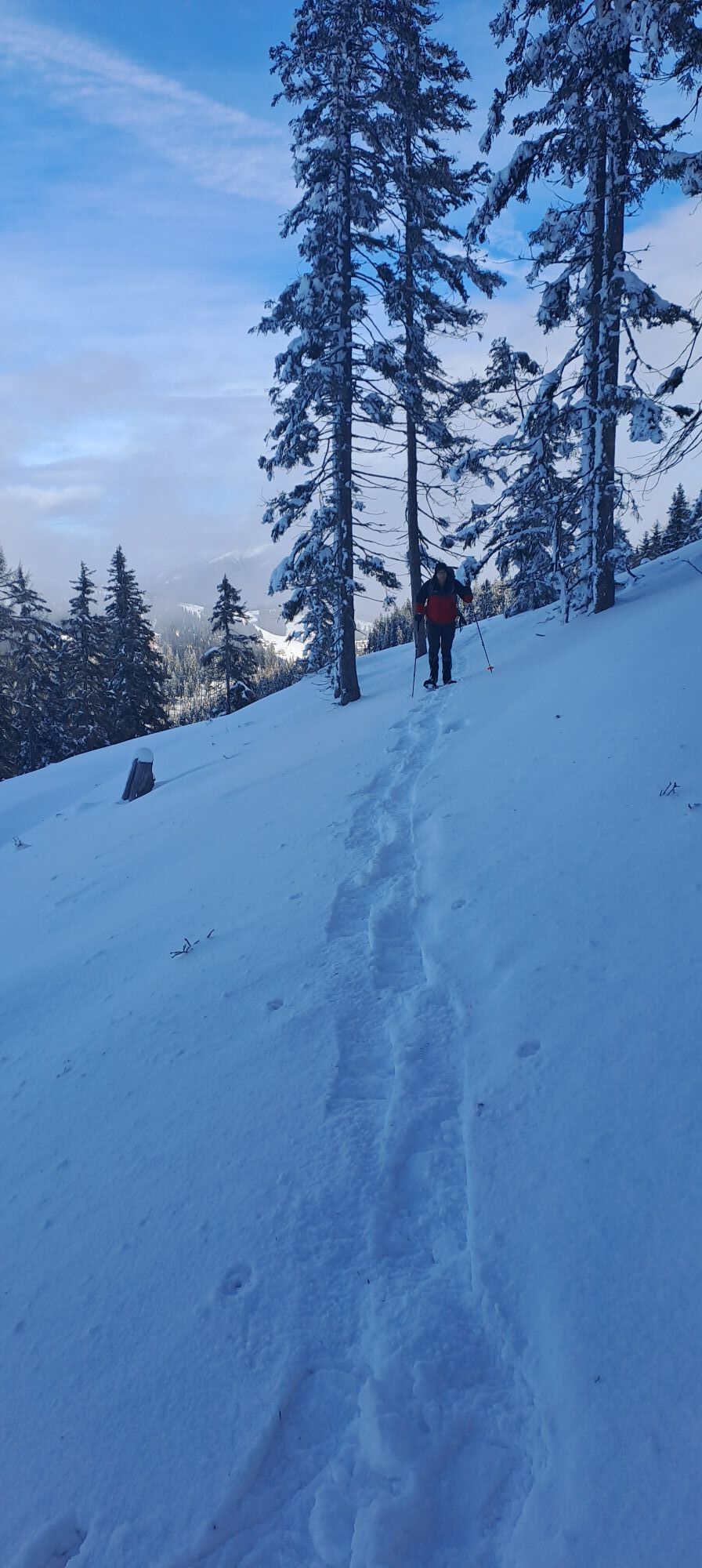
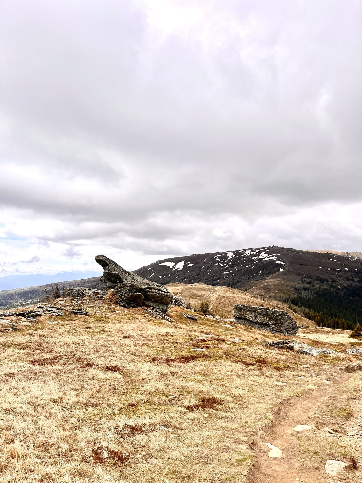
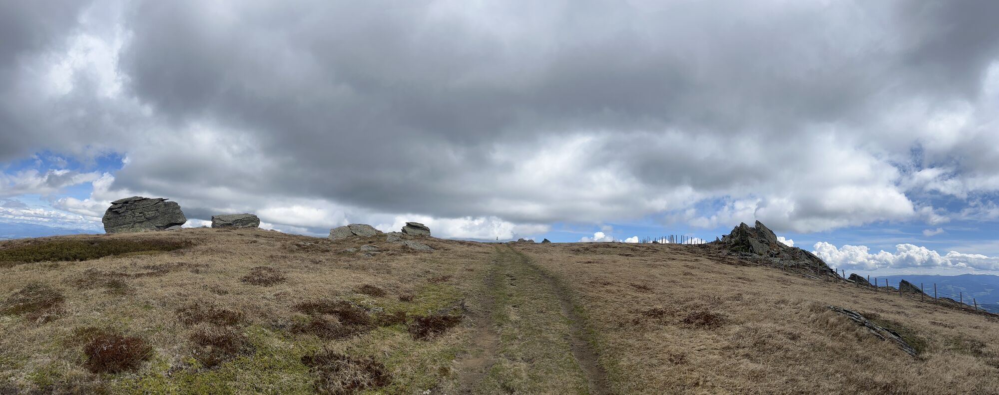
Continue following the signs for trail no. G towards Forstalpe to the Litzer Valley. On the return, we bypass the Geierkogel to the east via the Lavanttal high trail trail no. 308/G and return to the starting point at the car park above the Naturfreundehaus (open all year).
Áno
hiking boots, rainwear
From Graz/Klagenfurt - A2 South - exit Bad St. Leonhard to the B78 Obdacherbundesstrasse. Turn right towards Kliening - Klippitztörl. Along the Klippitztörl state road to the car park above the Naturfreundehaus Klippitztörl on the Klippitztörl state road. (about 10 km)
July/August hiking bus
Car park above the Naturfreundehaus Klippitztörl on the Klippitztörl state road.




Webové kamery z prehliadky
Získajte prehľad
Vždy naživo na mieste s viac ako 9 500 webovými kamerami. bergfex Ako používateľ Pro si teraz môžete pozrieť príslušné webové kamery pre mnohé zájazdy v aplikácii zájazdy z. Môžete si tak priamo prezerať aktuálne podmienky.
Aktivity počas prehliadky
-

Wolfsberg, Kärnten/Österreich
08.08.2026 – Turistika -

Hüttenberg, Kärnten/Österreich
04.08.2026 – Turistika -
Hüttenberg, Kärnten/Österreich
29.07.2026 – Turistika -

Hüttenberg, Kärnten/Österreich
16.07.2026 – Prechádzka -

Hüttenberg, Kärnten/Österreich
12.07.2026 – Turistika -
Wolfsberg, Kärnten/Österreich
03.07.2026 – Turistika -
Hüttenberg, Carinthia/Austria
20.06.2026 – Turistika -

Hüttenberg, Kärnten/Österreich
11.06.2026 – Turistika -
Hüttenberg, Kärnten/Österreich
24.05.2026 – Cyklistika -
Wolfsberg, Kärnten/Österreich
26.04.2026 – Turistika -
Hüttenberg, Kärnten/Österreich
25.04.2026 – Turistika -

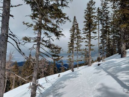
Geierkogel Runde 20260315
15.03.2026 – Snežnice -
Hüttenberg, Kärnten/Österreich
07.03.2026 – Turistika -

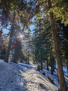
Geierkogel - Klippitztörl
28.02.2026 – Turistika -

Hüttenberg Navigieren
24.01.2026 – Turistika -
Hüttenberg, Kärnten/Österreich
03.01.2026 – Turistika -
Wolfsberg, Kärnten/Österreich
21.12.2025 – Turistika -

Wolfsberg, Kärnten/Österreich
20.12.2025 – Prechádzka -
Hüttenberg, Kärnten/Österreich
30.10.2025 – Turistika -

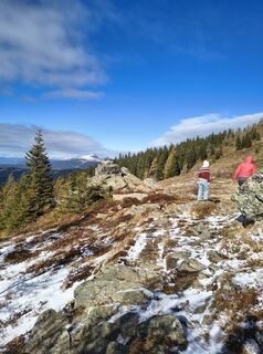
Hüttenberg, Kärnten/Österreich
28.10.2025 – Turistika
Obľúbené výlety v okolí
-
4,5
Bad St. Leonhard: L5 hike Kliening - Sauerbrun
strednáTuristika 9,49 km -
4,1
Vom Klippitztörl auf die Forstalm mit Geierkogel und Steinerner Hochzeit.
strednáTuristika 10,5 km -
4,8
Steinerhütte-kl.+gr. Sauofen zum Gertrusk und zurück
svetloTuristika 15,0 km -
4,3
Mariahilferweg
strednáTuristika 11,2 km -
5,0
Weißbergerhütte - Gertrusk - Ladingerspitz
strednáTuristika 8,95 km -
4,8
Winter sun on the Saualm
svetloSnežnice 4,70 km -
4,7
Klippitztörl: Tour 6 - Geierkogeltour
strednáSnežnice 6,80 km -
4,6
Saualpe: Hut route - circular hike
strednáTuristika 15,3 km -
4,2
Saualpen ridge – Speikkogel, Großer and Kleiner Sauofen
strednáTuristika 10,8 km -
4,0
Klippitztörl: circular hike
strednáTuristika 10,1 km
Turistika a stopovanie


Nenechajte si ujsť ponuky a inšpiráciu na ďalšiu dovolenku
Vaša e-mailová adresa bol pridaný do poštového zoznamu.





