






Pockhorn winter hiking trail
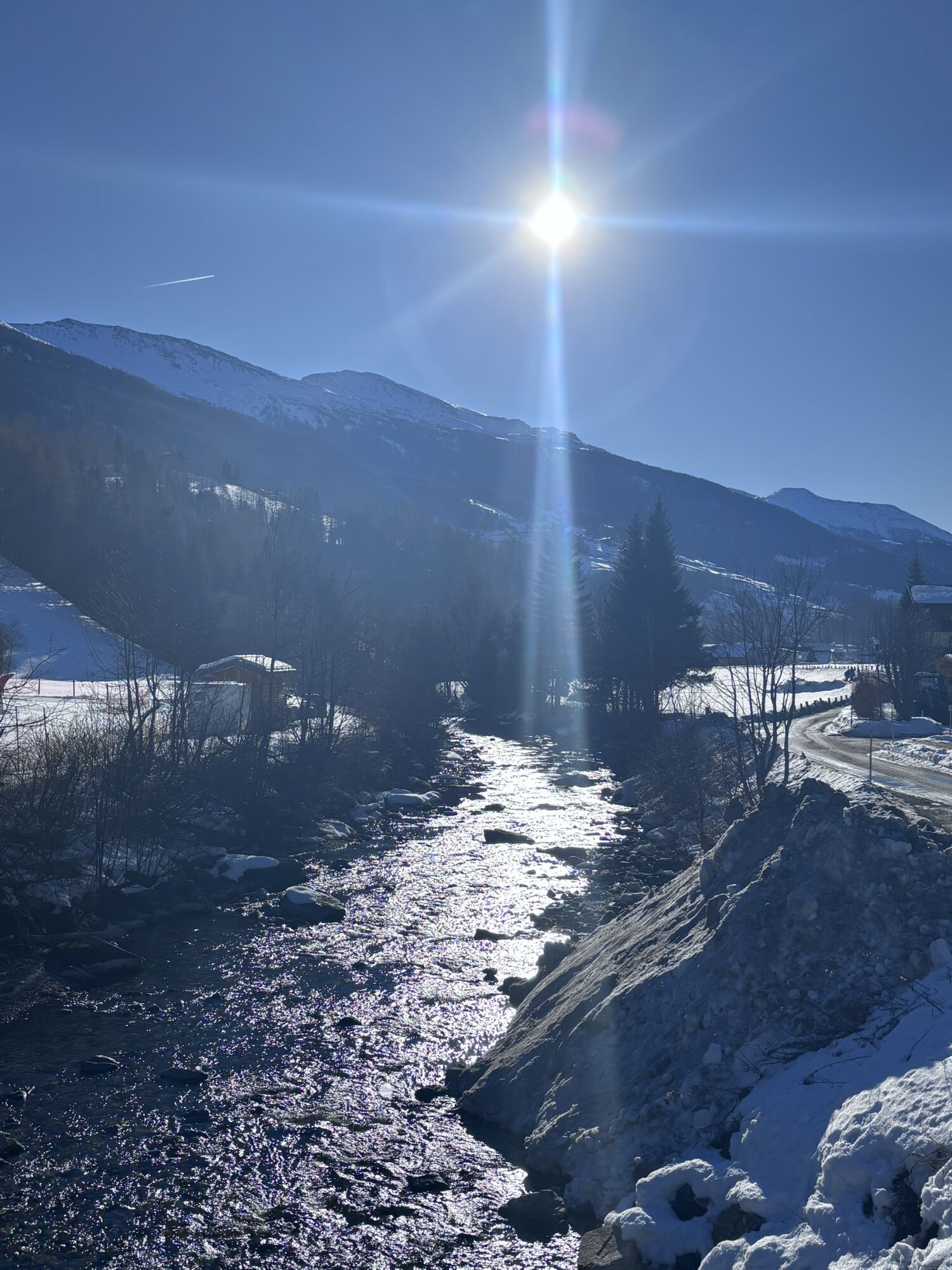
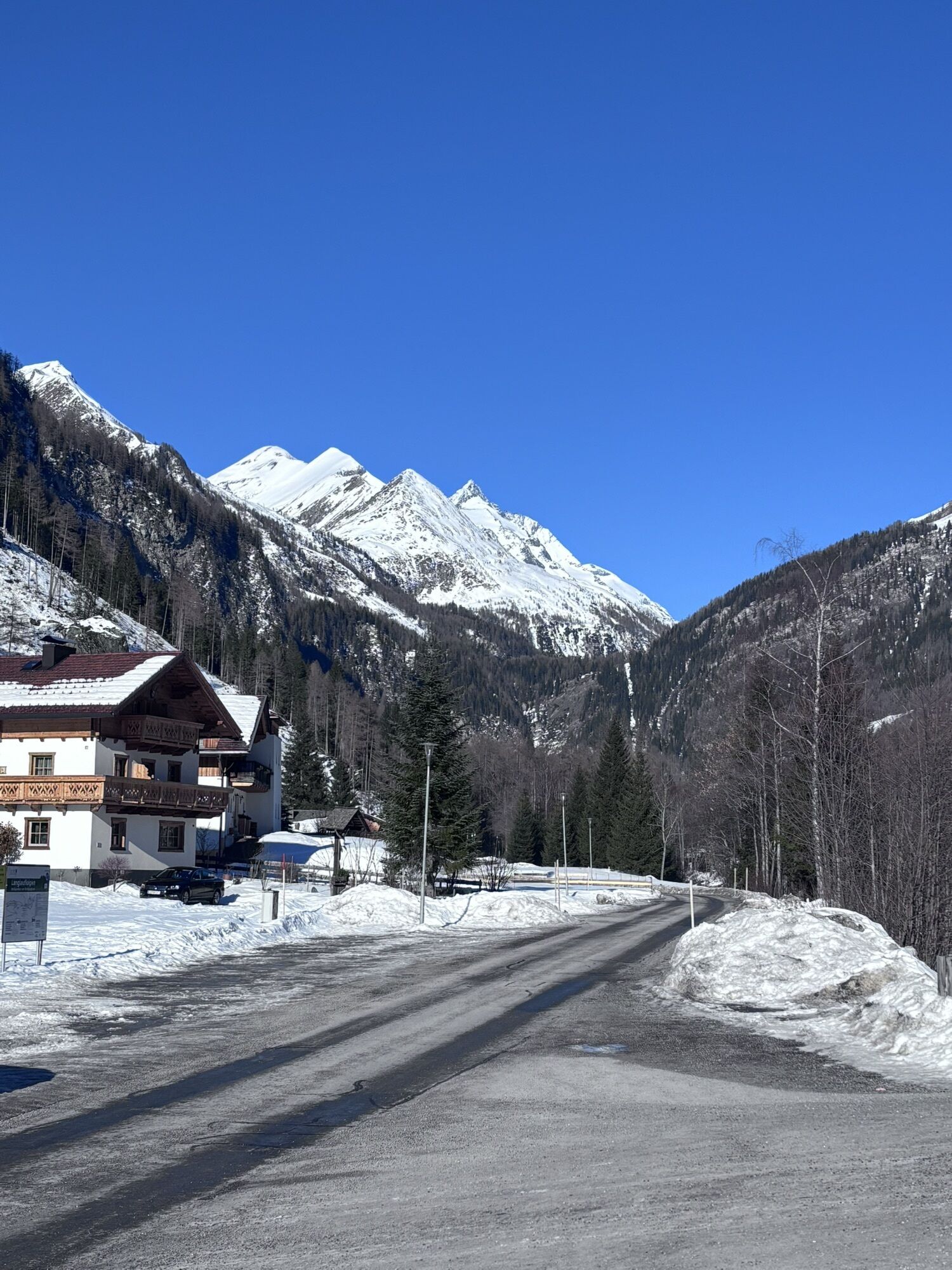
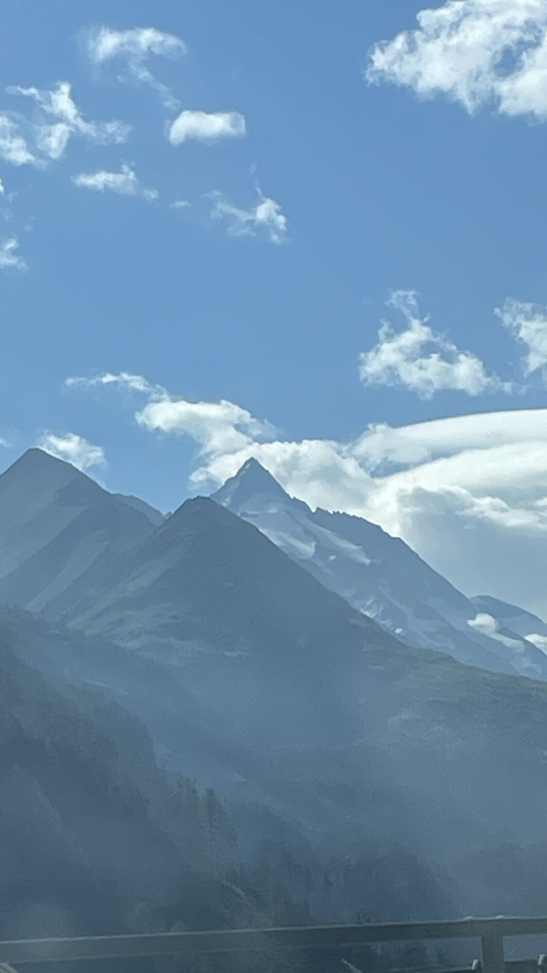
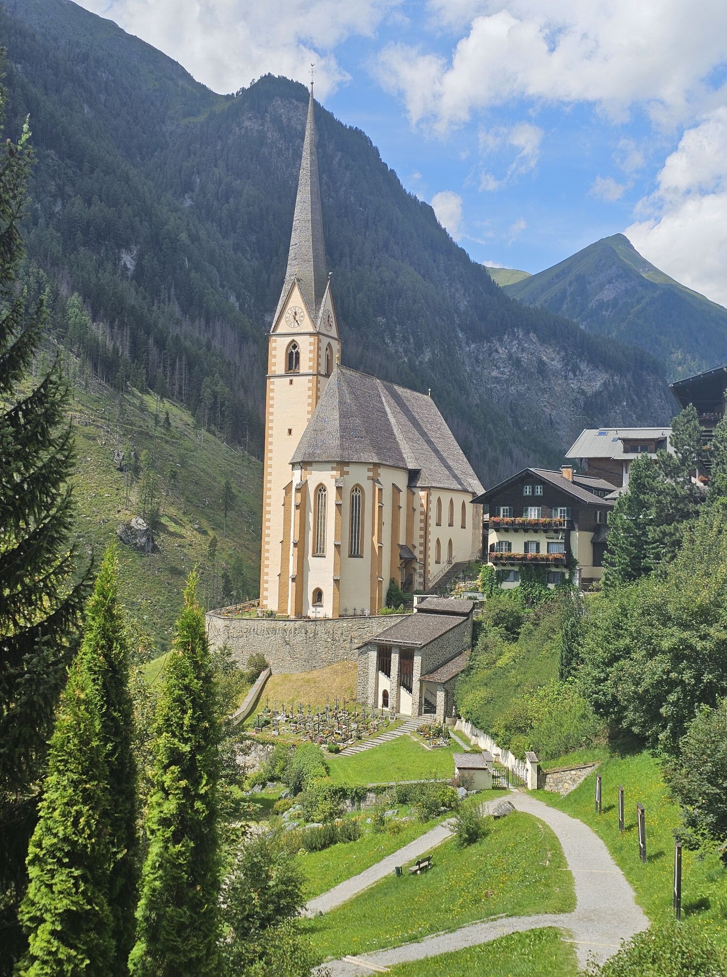
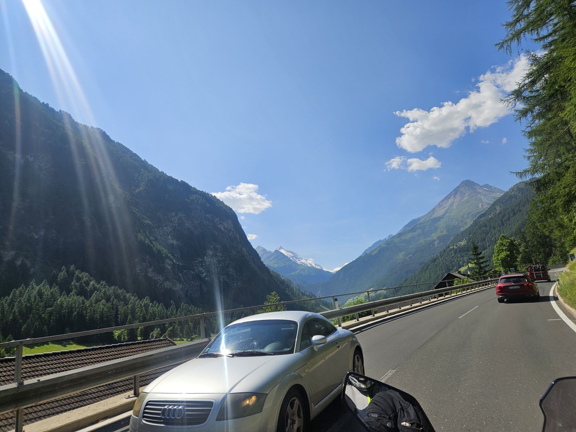
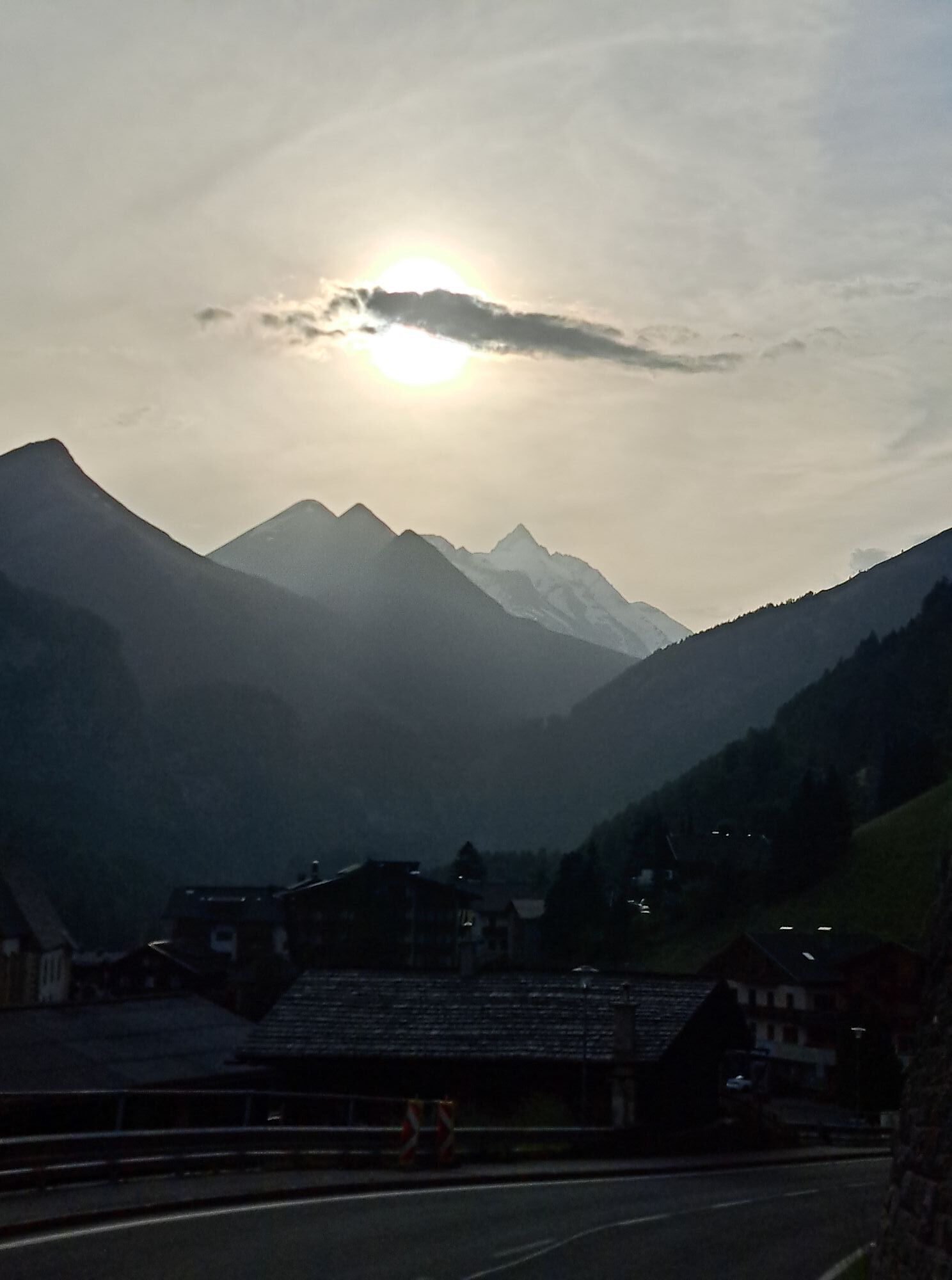
An easy, valley-near winter hike - initially along the Möll - with the option to use the post and/or ski bus for the return journey.
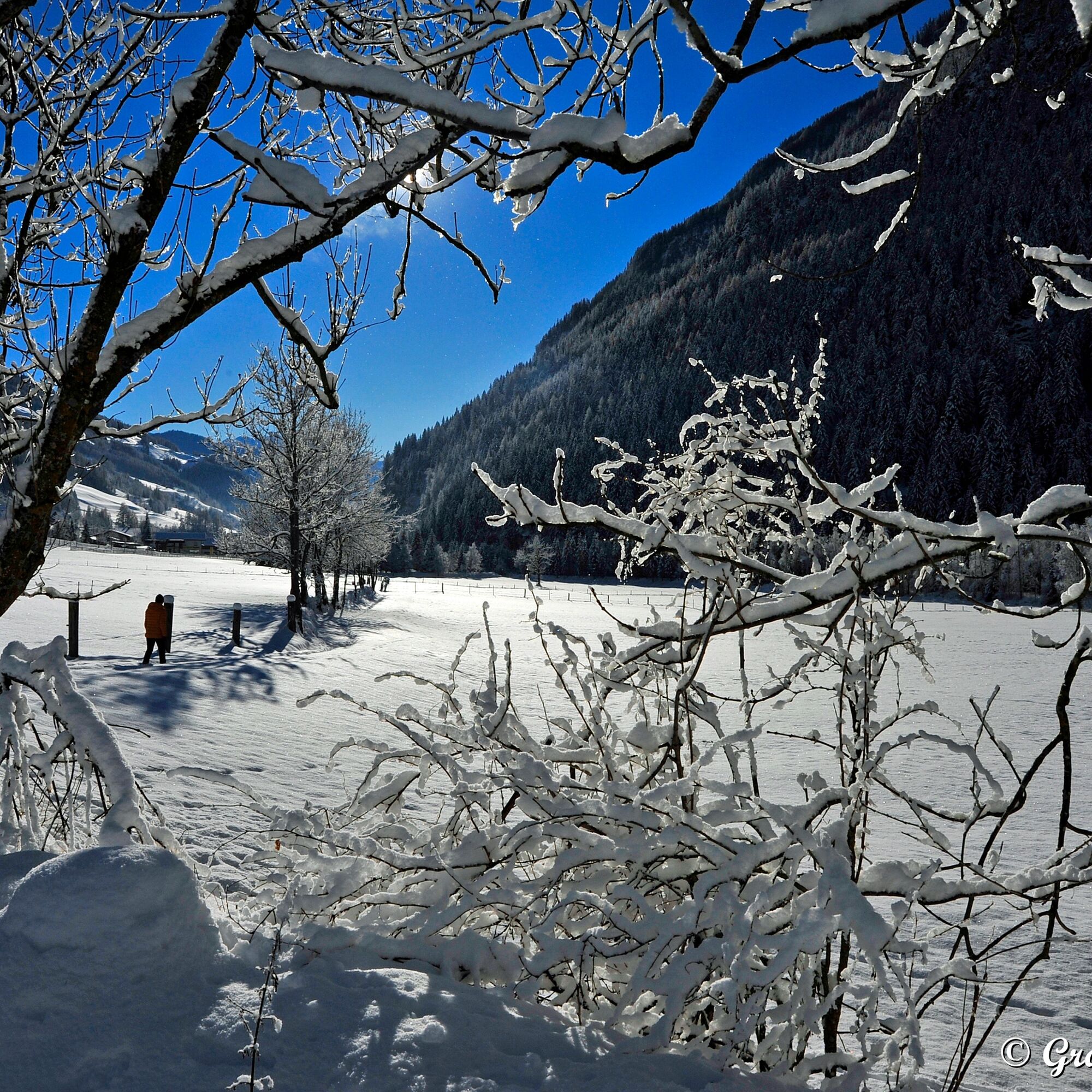
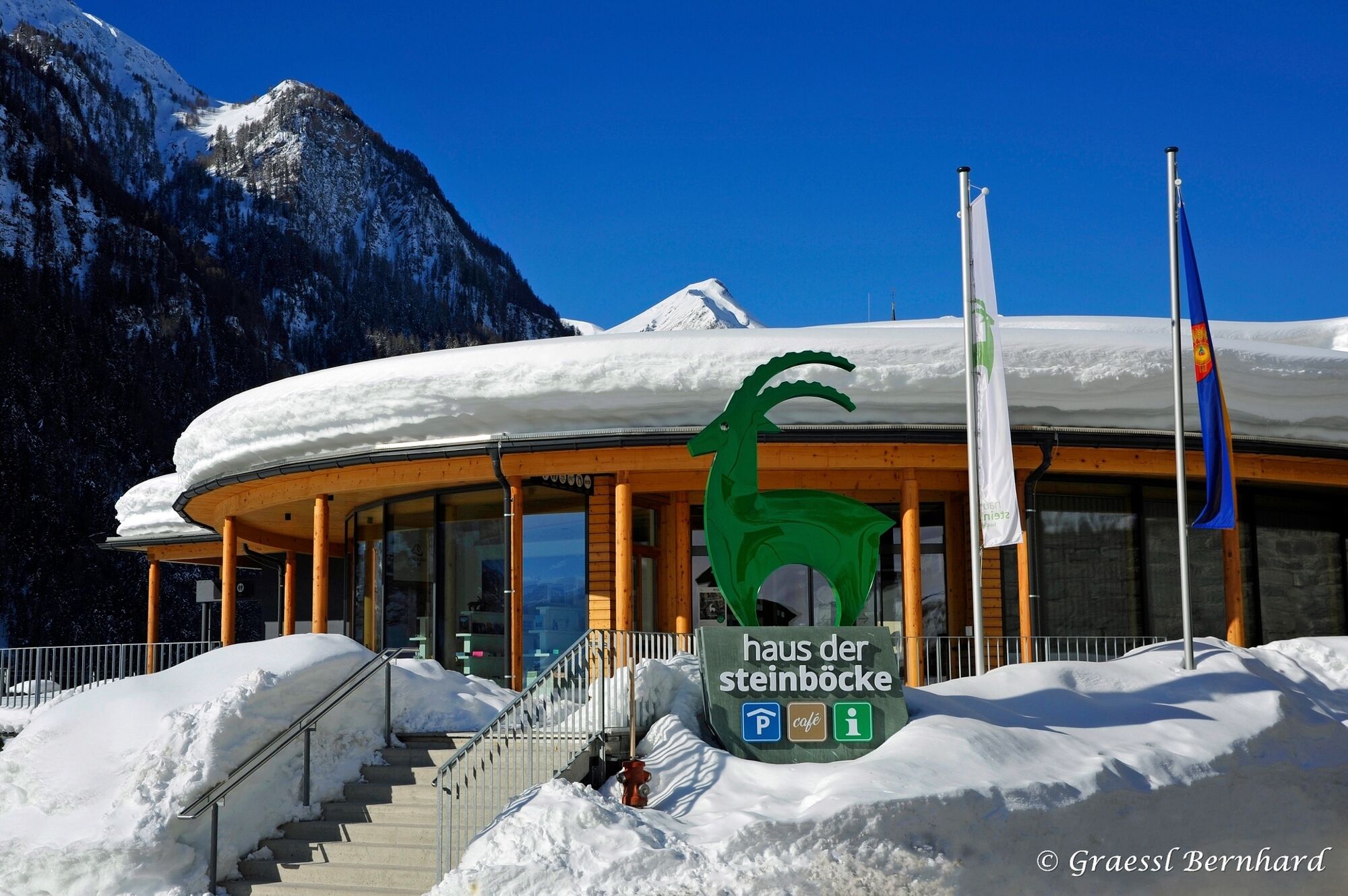
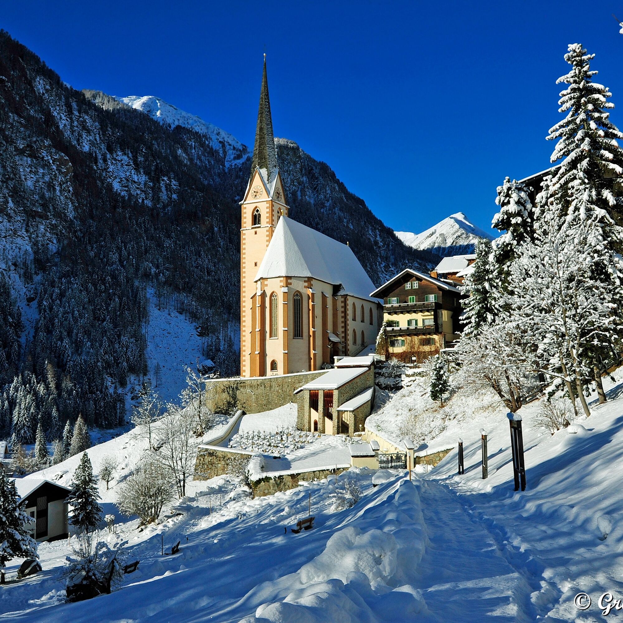
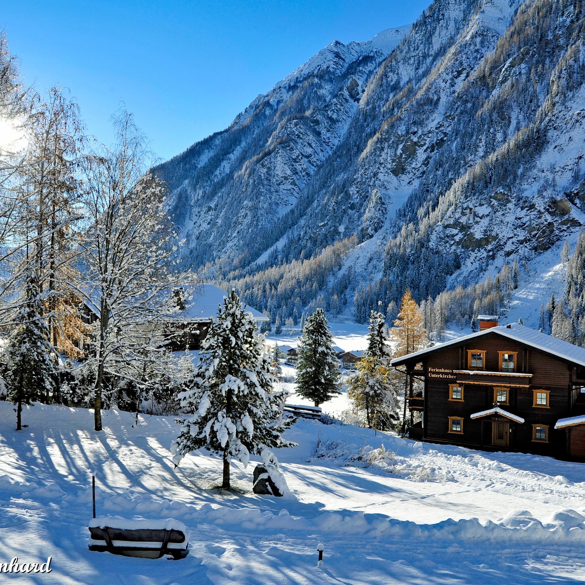
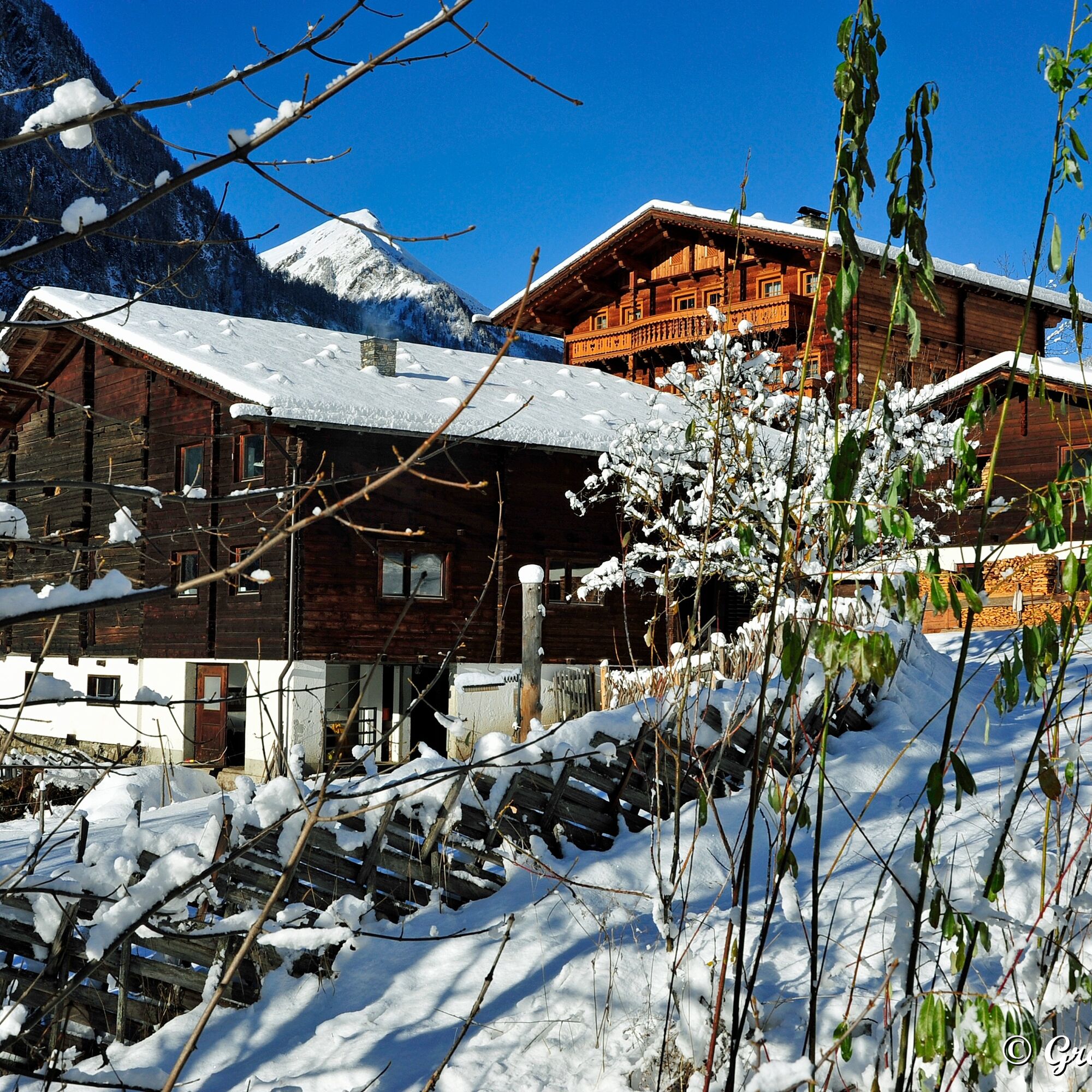
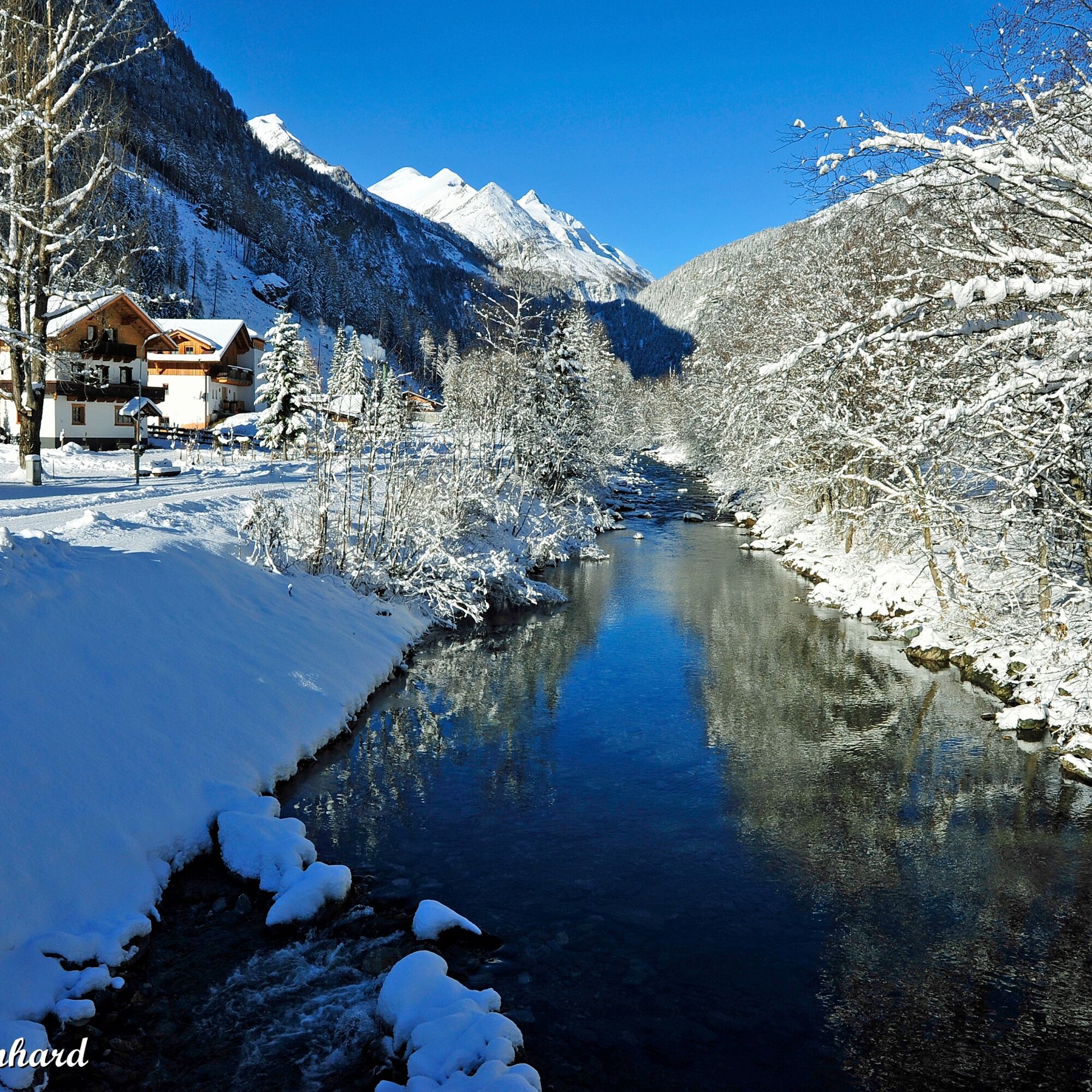
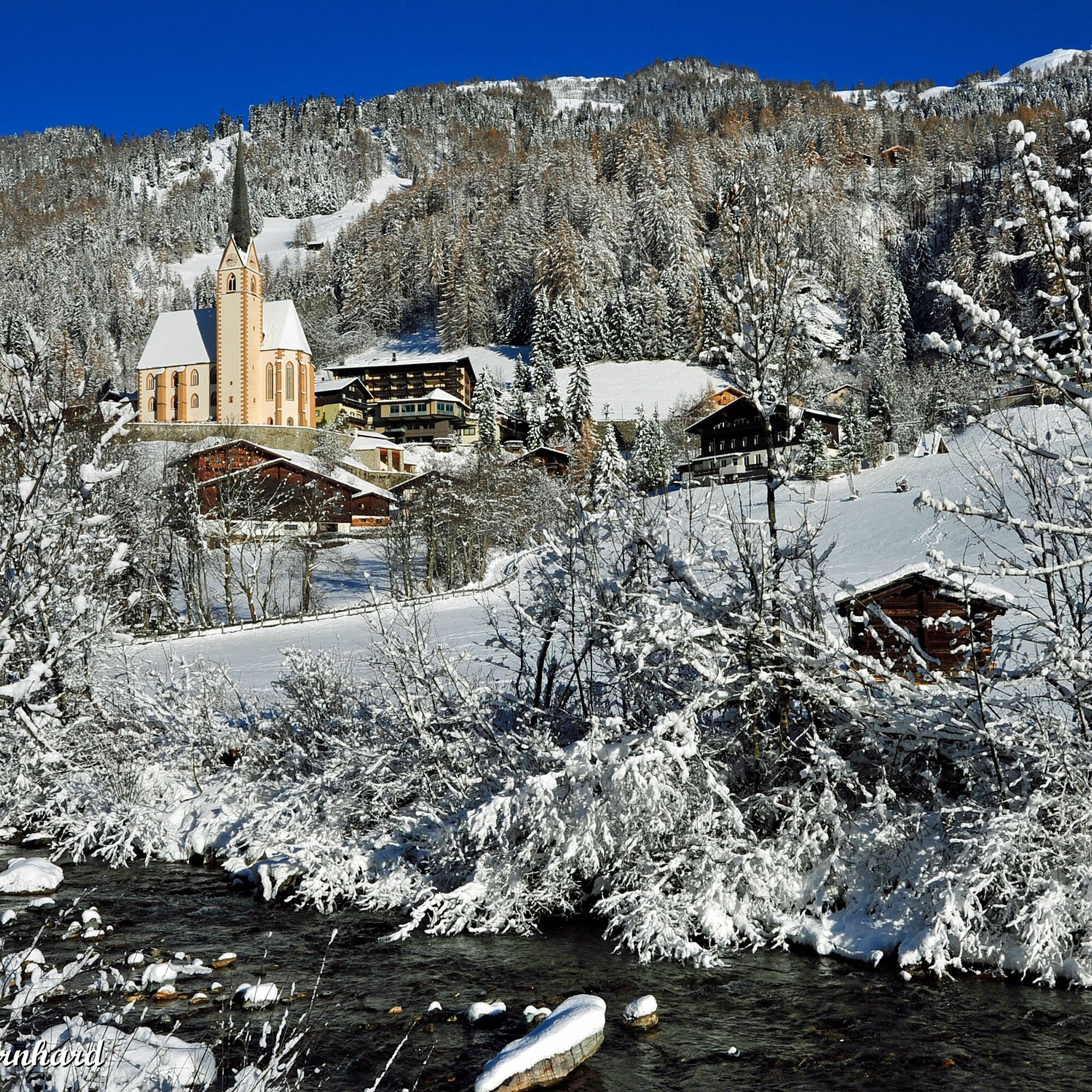
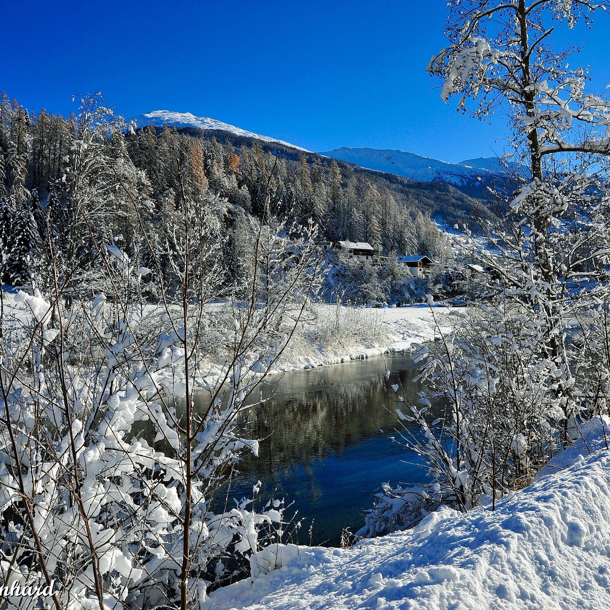
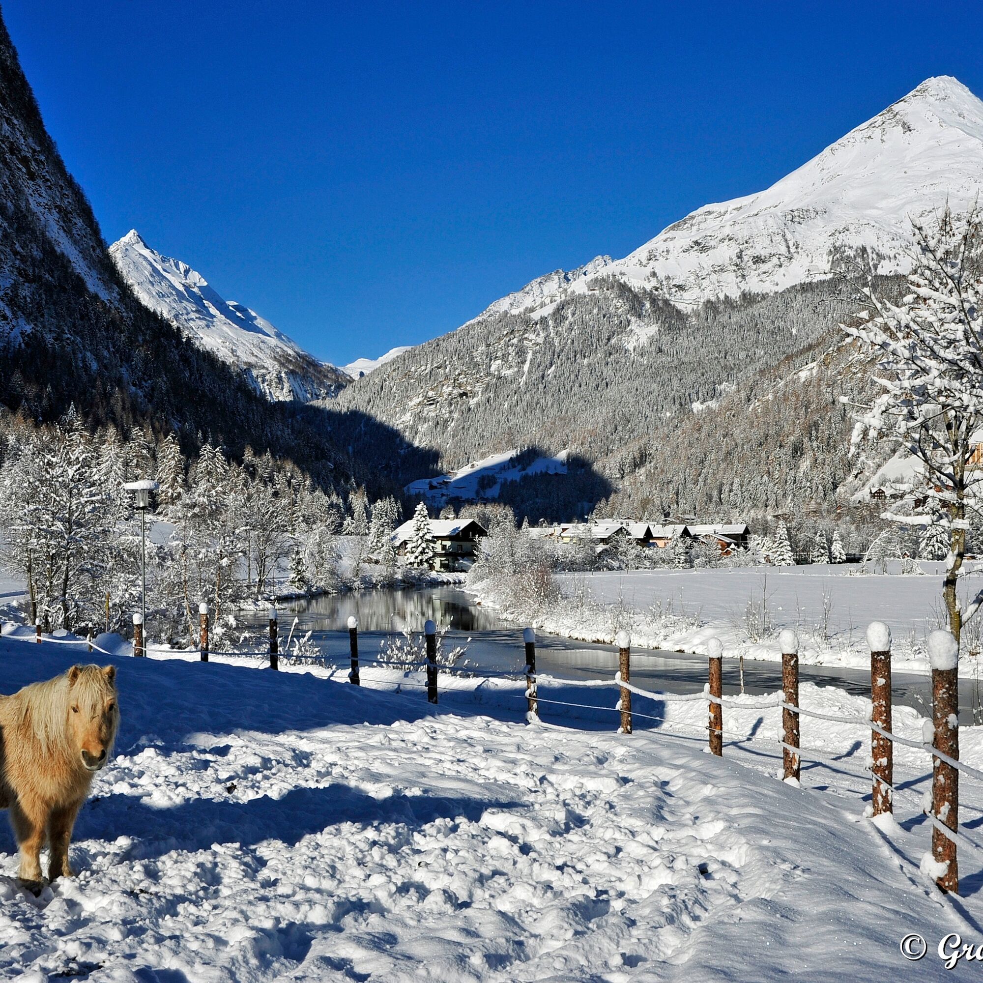
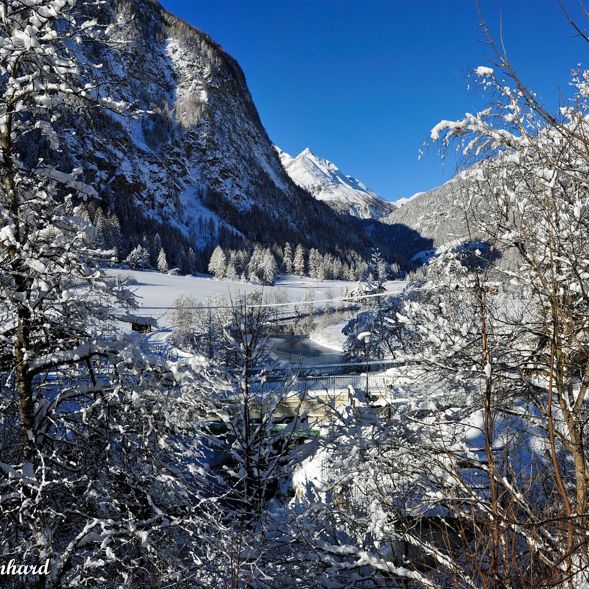
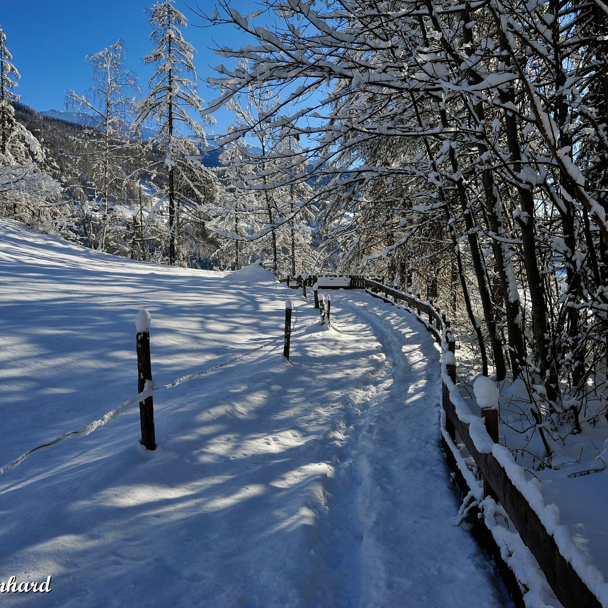
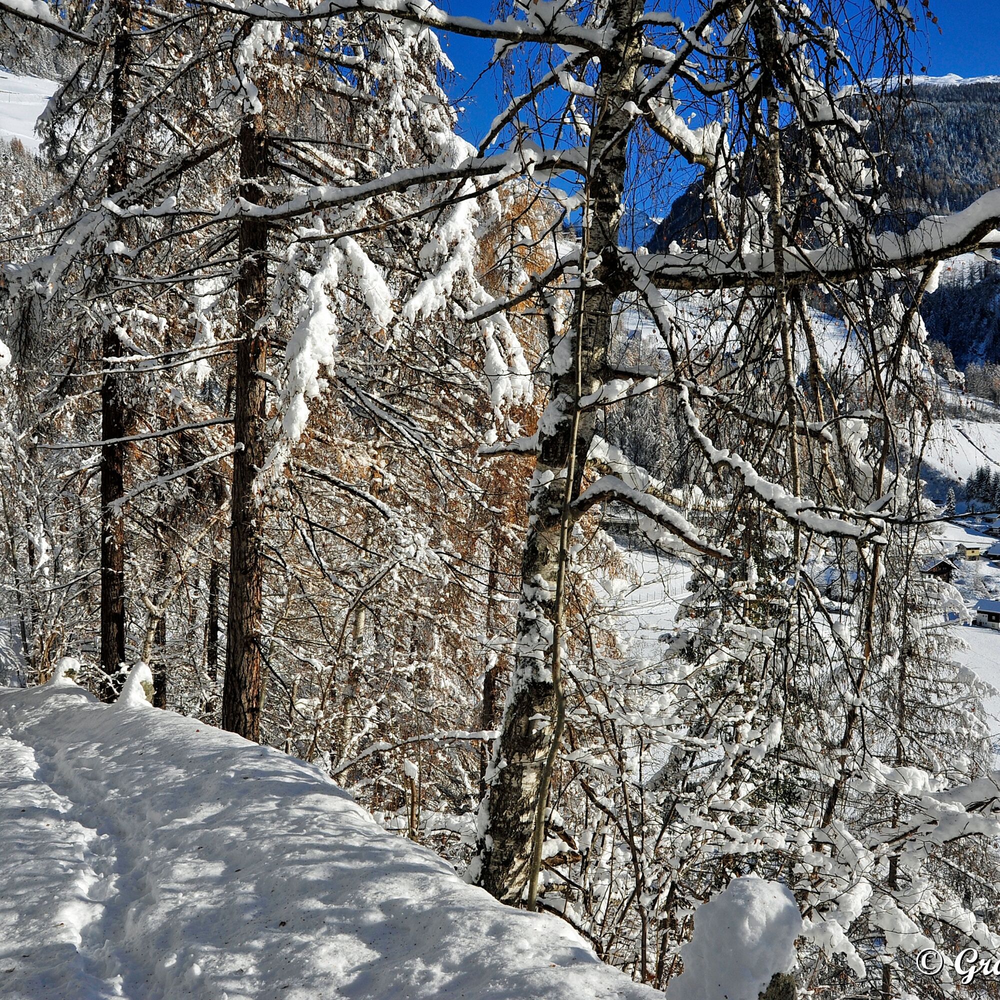
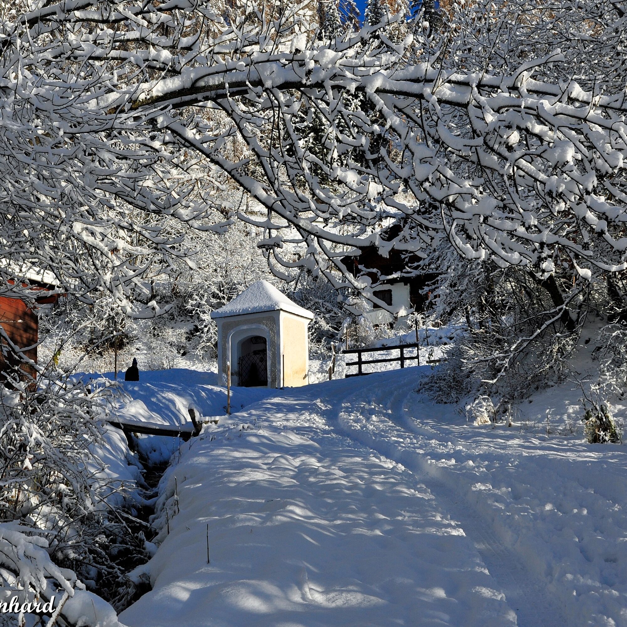
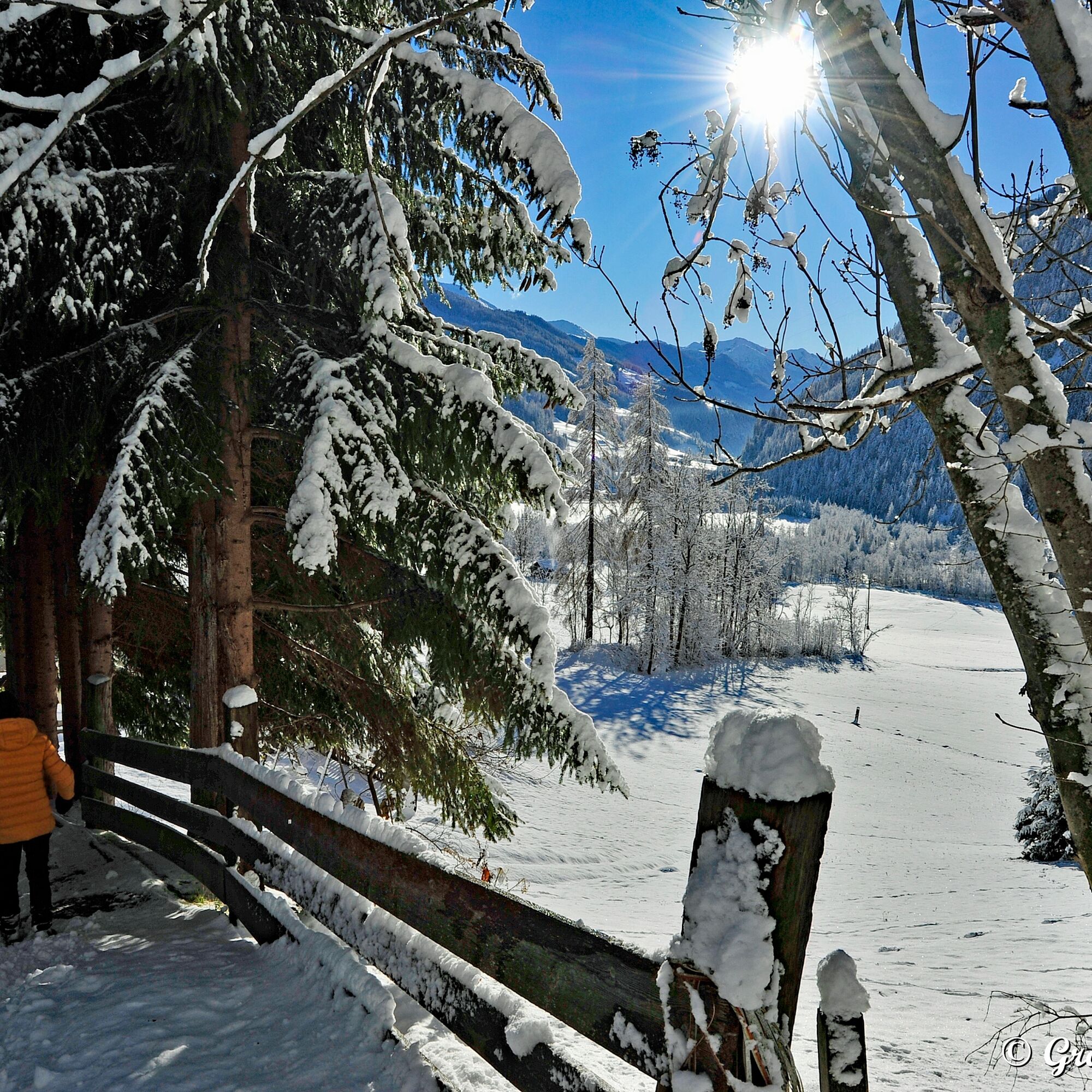
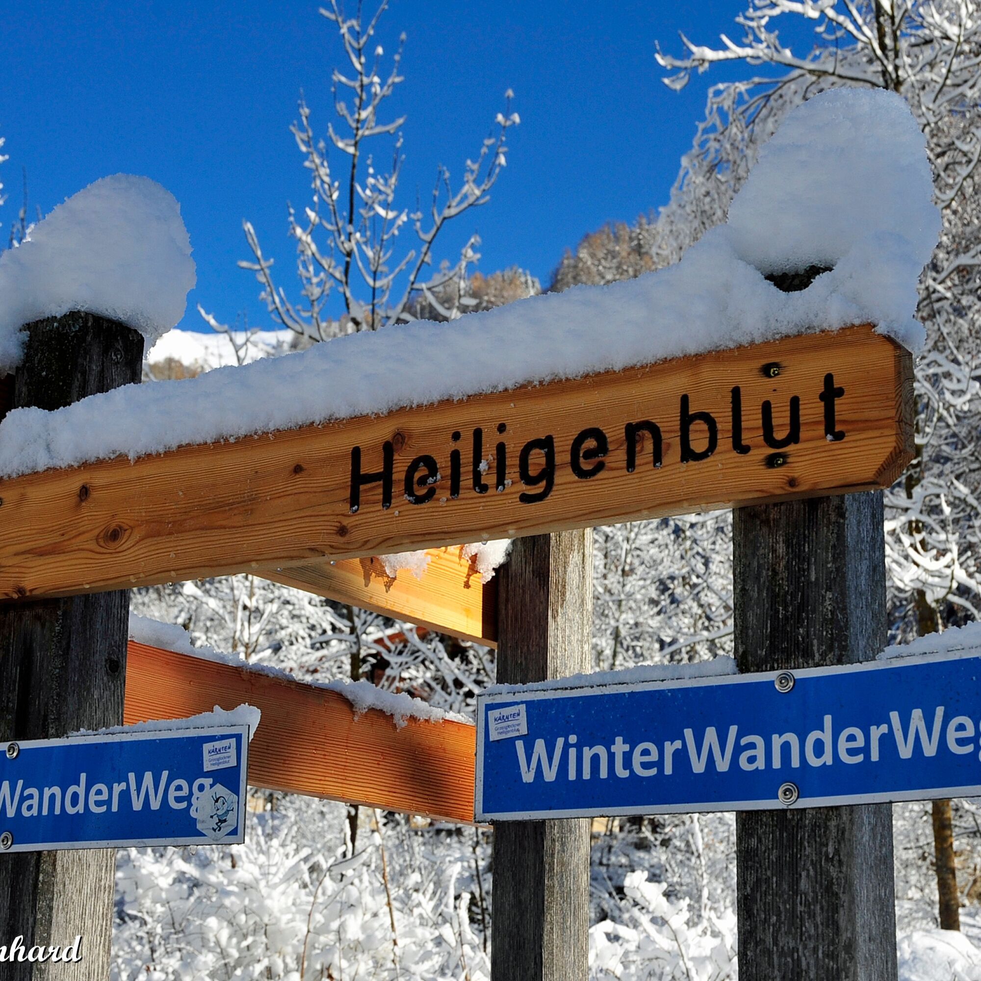
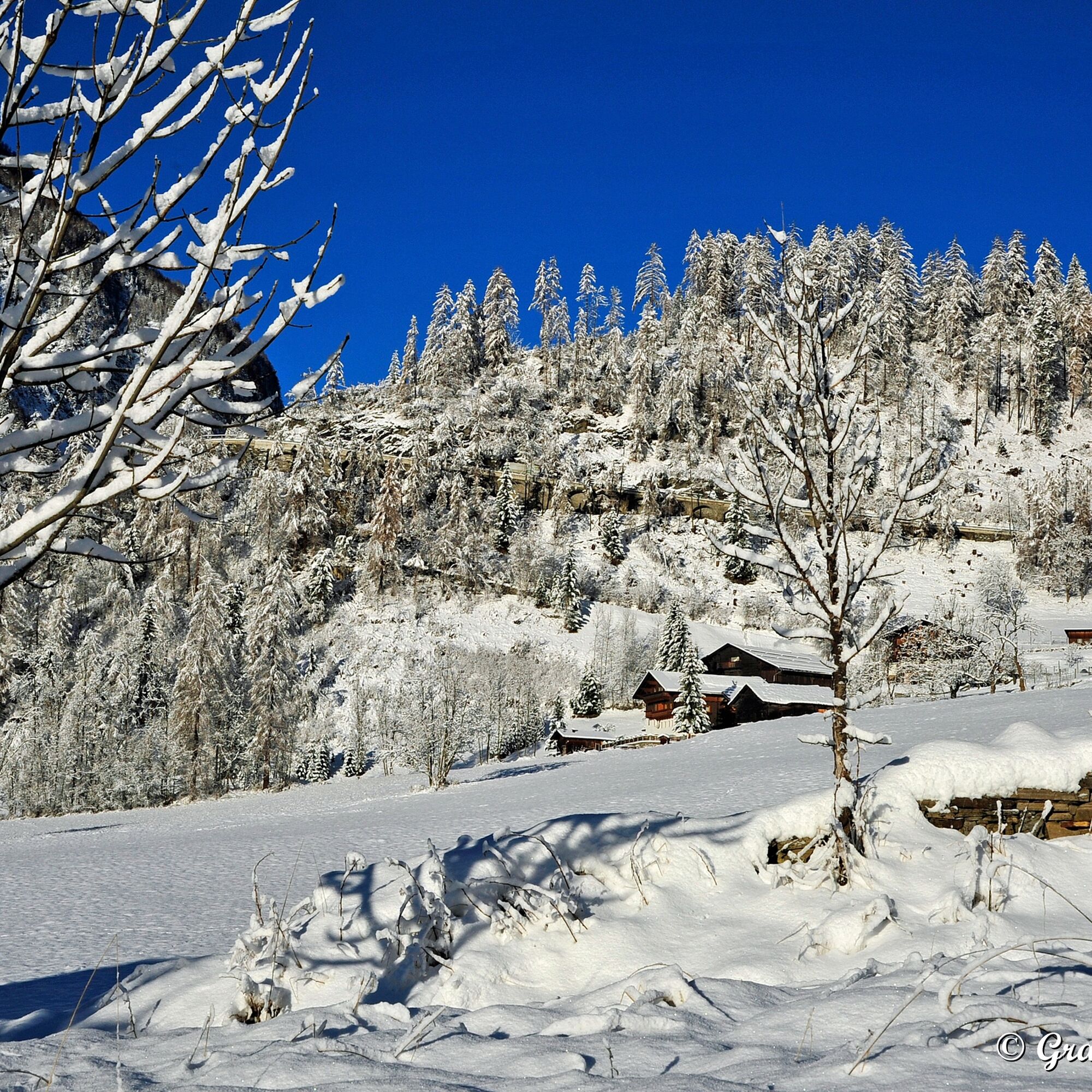
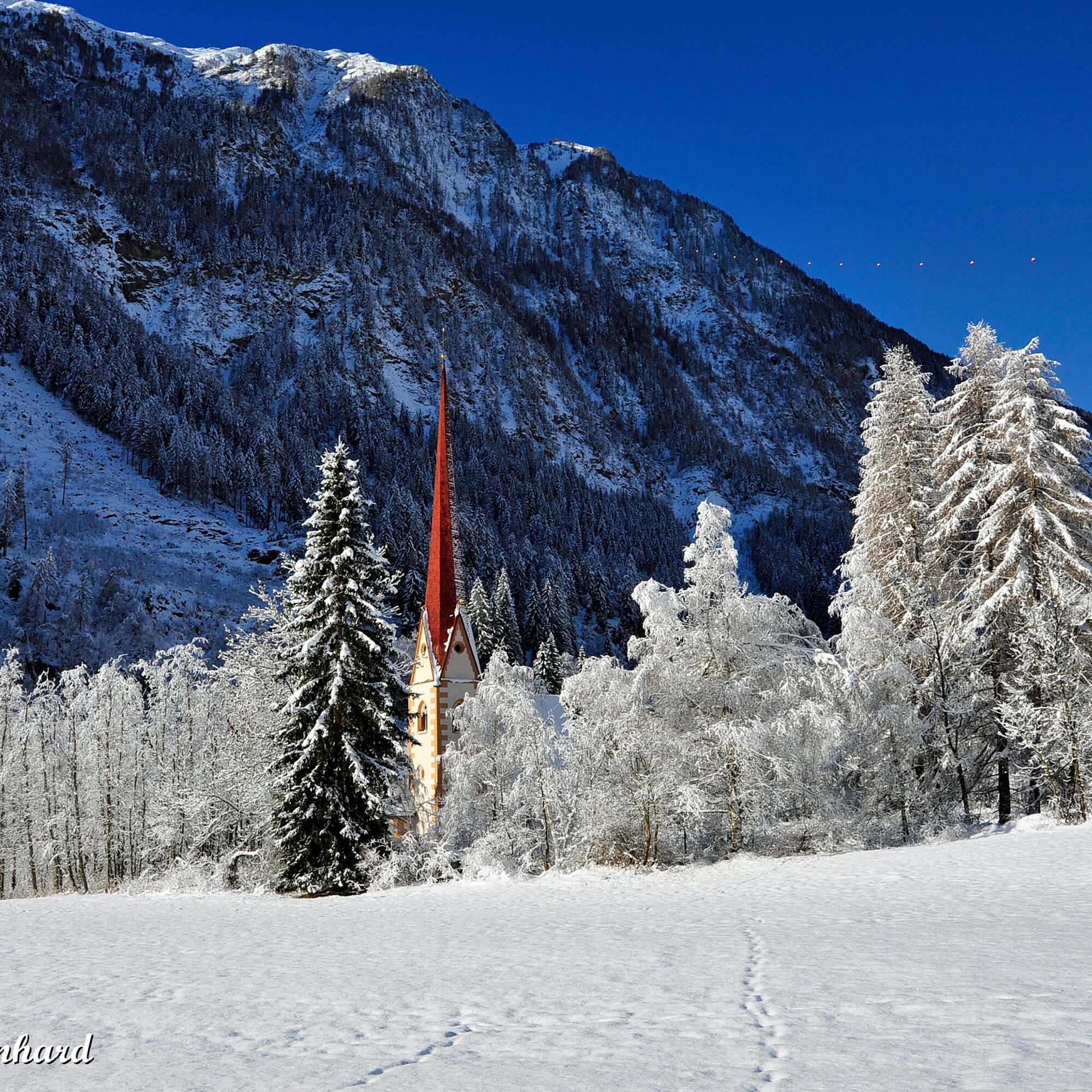

From the center of Heiligenblut, hike through the Messner-Anger and along the beginner ski lift Schulwiese to the bridge in the Hadergasse (valley station ski lift). From there follow the Hadergasse downstream to the Sonnblick country inn. From the district Zlapp, the connecting path leads towards the hamlet Pockhorn with its branch church "Zum heiligen Martin". The return route leads either back along the same path to the village or you can take the ski bus from the Pockhorn stop.
Sturdy footwear, winter clothing (ski wear), hiking or ski poles recommended.
Use of the winter hiking trail is at your own risk!
Emergency number: 140 (mountain rescue) Taxi Fleißner phone number: +43 664 3836 311
Via the Möll valley from Winklern to Heiligenblut - free parking available in the Heiligenblut parking garage
By post bus from Winklern to the valley station of the Grossglockner mountain railways (winter sports enthusiasts can use the ski buses free of charge), from here the starting point for the hike. For the return journey at the end of the route take the Rojach stop.
Parking garage at the entrance to Heiligenblut, from there a few minutes to the cable car valley station.
Respect your limits! 5 rules for responsible snowshoeing or ski touring:
Where available, stay on marked routes; strictly observe information boards as well as protected, conservation, and restricted areas. Consider wildlife: avoid feeding stations and immediately and calmly withdraw if you see any wild animals. Avoid young tree cultures (under three meters), ski edges can cause severe damage to the trees. Do not leave any waste behind. Avoid noise.The Pockhorn winter hiking trail can also be perfectly combined with the Kräuterwand walking trail and the circular route through the mountain village of Heiligenblut.
Získajte prehľad
Vždy naživo na mieste s viac ako 9 500 webovými kamerami. bergfex Ako používateľ Pro si teraz môžete pozrieť príslušné webové kamery pre mnohé zájazdy v aplikácii zájazdy z. Môžete si tak priamo prezerať aktuálne podmienky.
Obľúbené výlety v okolí
-
4,9
Wangennitzsee Hütte
strednáTuristika 3,80 km -
4,6
Geotrail Tauernfenster
svetloTuristika 5,90 km -
4,9
Kaiser-Franz-Josefs-Höhe to Oberwalderhütte
ťažkéTuristika 5,52 km -
4,9
Figerhorn, 2743m, Lucknerhaus
strednáTuristika 6,69 km -
4,8
Glockner
strednáVysoké turné 19 km -
4,3
Glacier Route to the Pasterze with Gamsgrubenweg (up to Tunnel 6)
strednáTuristika 8,05 km -
4,8
Hohe Sonnblick Up
ťažkéTuristika 9,14 km -
4,7
Glödis 3206m: PP Seichenbrunn, Lienzer Hütte, Glödis KS A/B
ťažkéVysoké turné 16,1 km -
4,5
Niedersachsenhaus
strednáTuristika 4,84 km -
4,9
Glockner Alpincenter - Salmhütte - Hohenwartkees
strednáTuristika 8,64 km
Turistika a stopovanie


Nenechajte si ujsť ponuky a inšpiráciu na ďalšiu dovolenku
Vaša e-mailová adresa bol pridaný do poštového zoznamu.





