



Harakkasaari SUP paddleboarding and kayaking route 3.5 km, Kuhmo

Úroveň náročnosti: 2
Harakkasaari, located about 5 kilometers from Kuhmo center, is a particularly interesting island in that during high water it is truly an island, but when water is low, the isthmus between the island and...
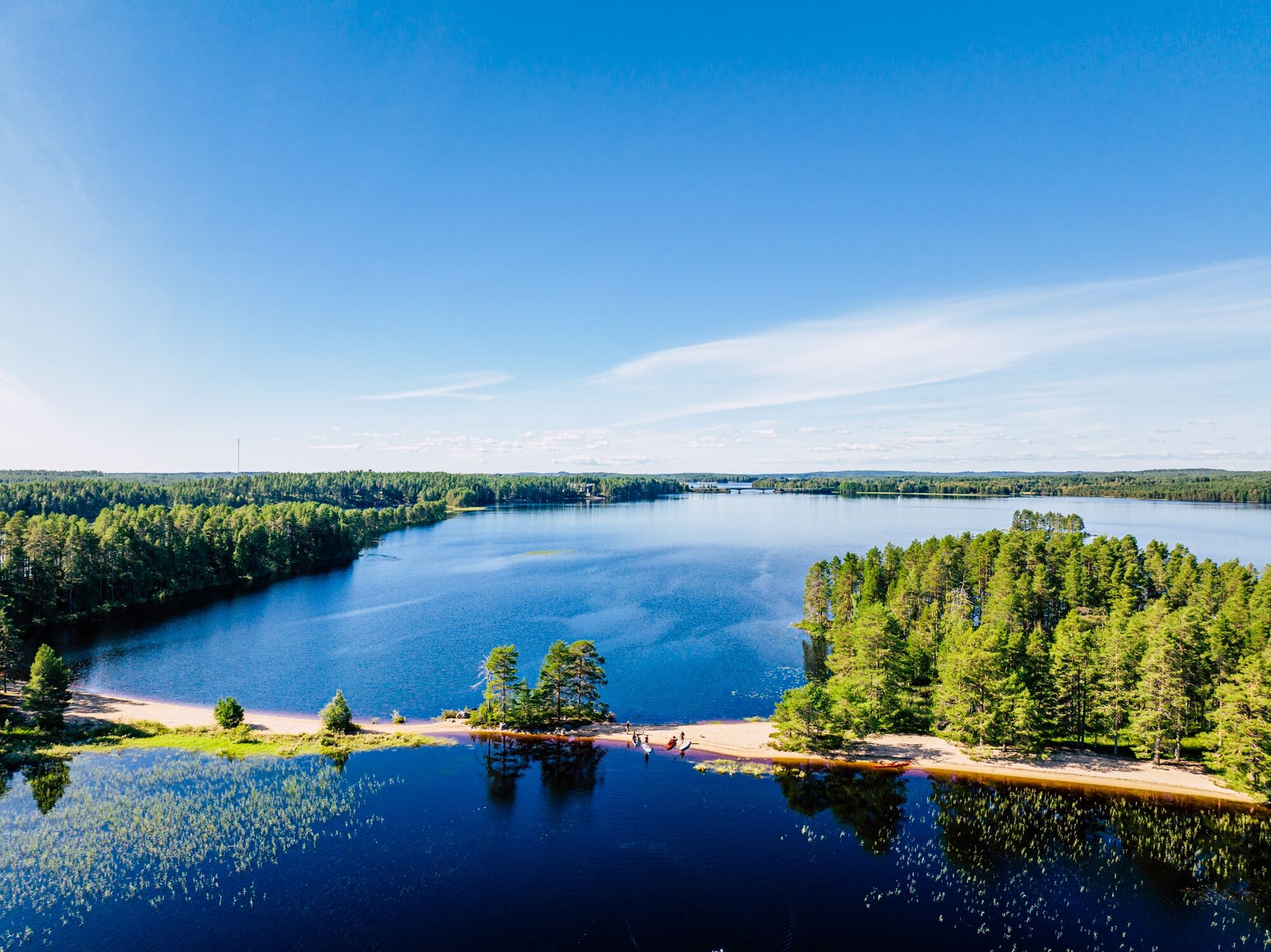
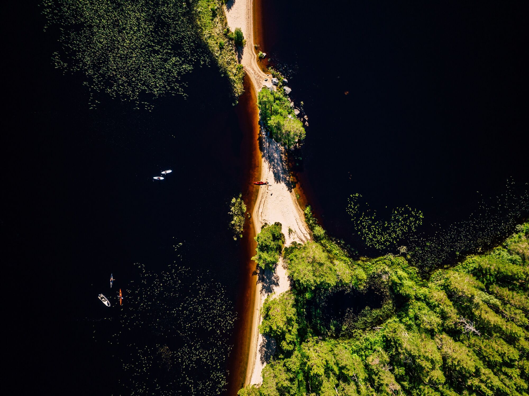
Harakkasaari, located about 5 kilometers from Kuhmo center, is a particularly interesting island in that during high water it is truly an island, but when water is low, the isthmus between the island and the mainland is above water. During the thaw, you can get to the island by boat or wading, and during dry summers even by walking dry-shod. In winter, the island is easily accessible over the ice.
The route marked on the map is used in high water, or equipment can be carried over the dry isthmus.
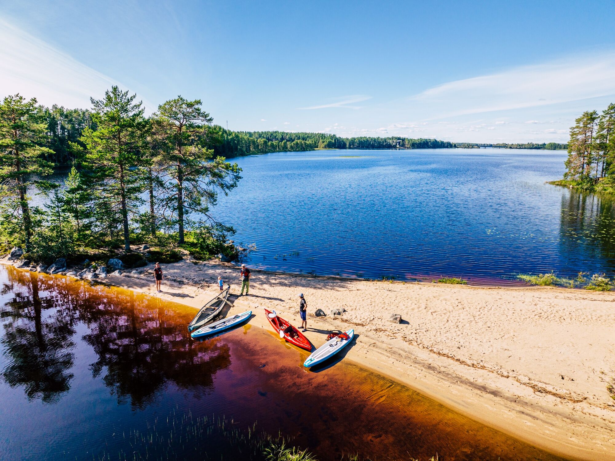
You can paddle or boat to the island and land at many spots, but the most popular place is a large sandy beach in the northern bay. There are no piers. Landing is easy for paddlers, and there is always a sheltered cove.
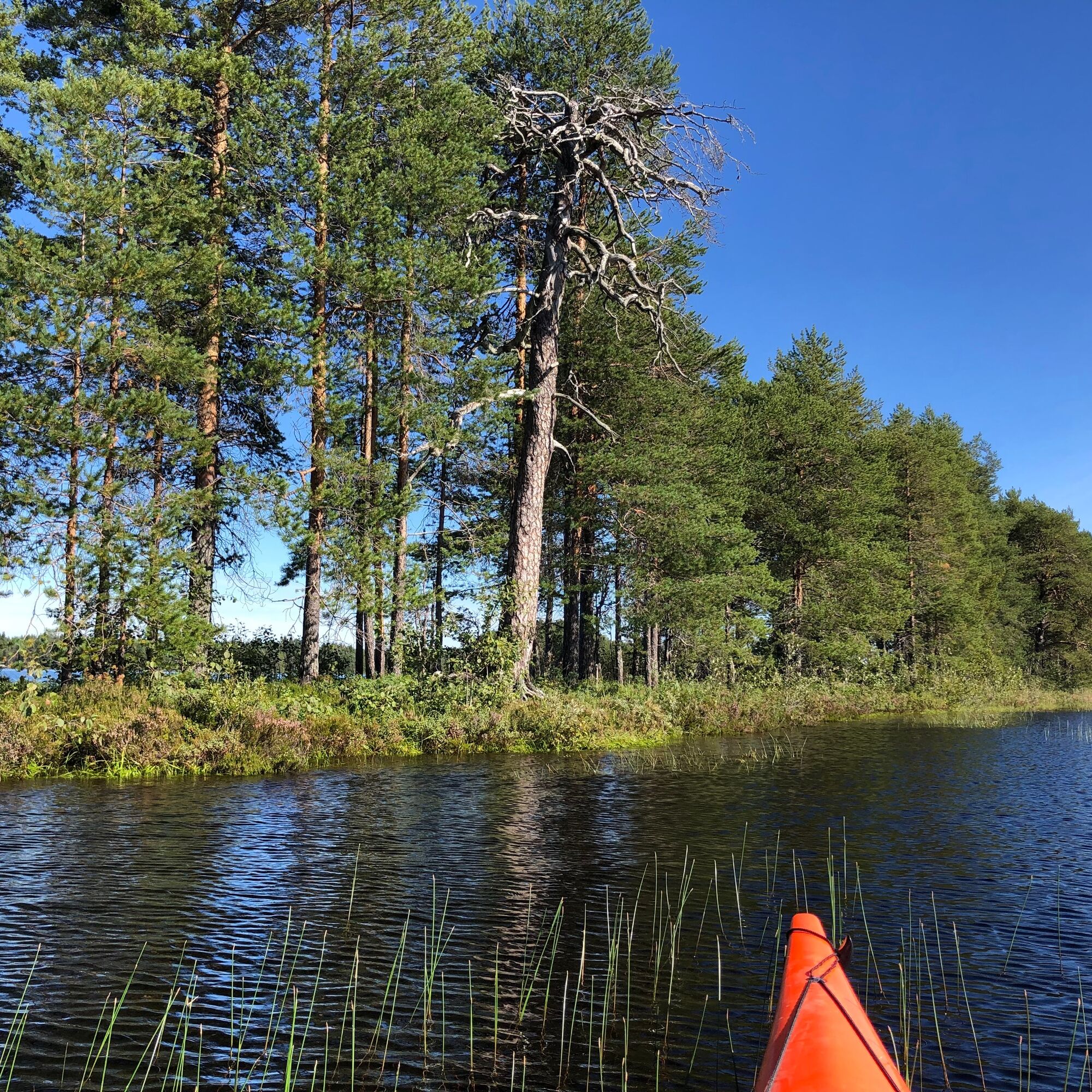
Harakkasaari is Metsähallitus’s natural gift to 100-year-old Finland. It is not only a nature reserve and recreational site but also a unique attraction in Kuhmo’s nature. The island's ridges have always invited for walks, and the sandy beaches have called for summer day enjoyment. Harakkasaari is relatively small, only 2.5 hectares. The island got its name from a flying, long-tailed bird. It is part of an east-west oriented long sandy ridge chain. The nature is rugged pine forest terrain and thus sensitive to wear. The island has been spared from logging and there you can find old tortoise-barked pines.
All visitors to the island have at their disposal a campfire site, a woodshed, and a toilet near the largest sandy beach. Please remember to follow outdoor etiquette!

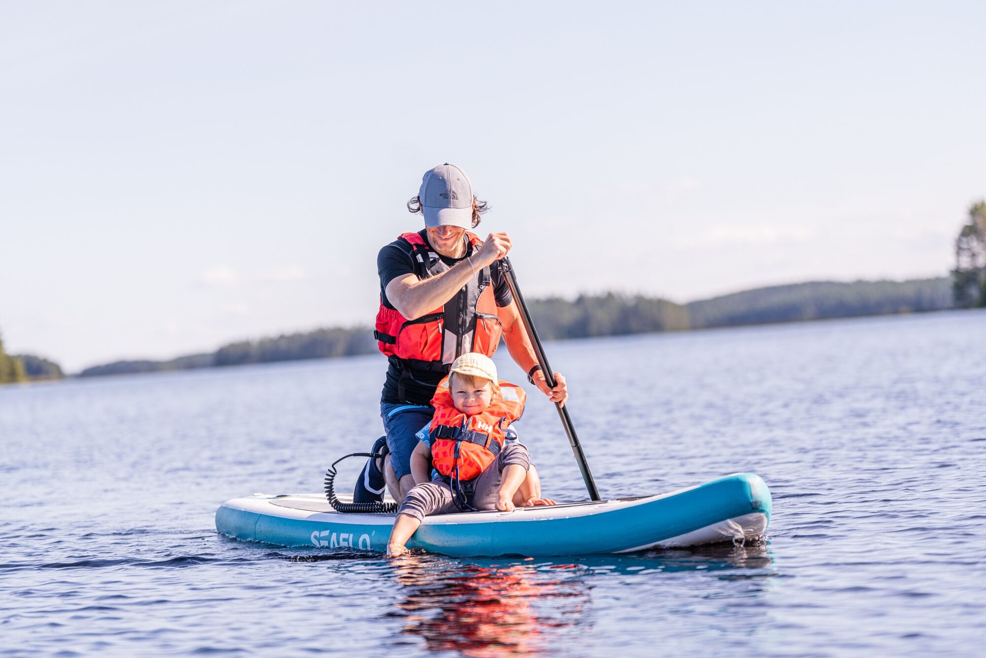
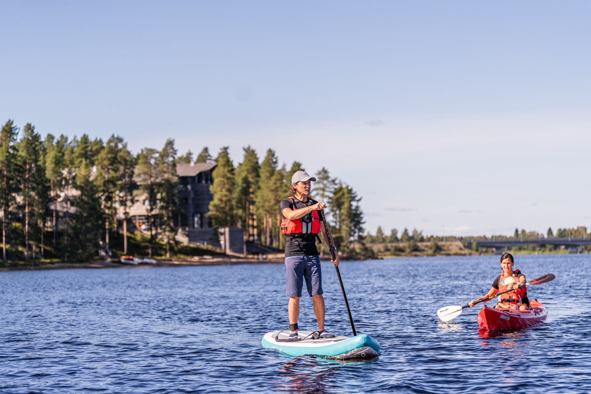
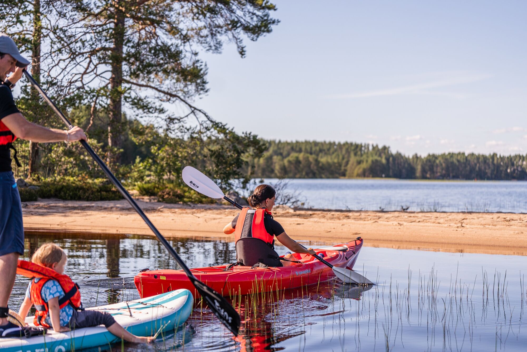
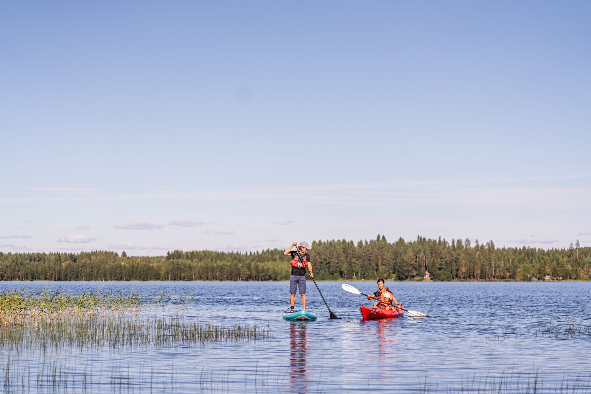
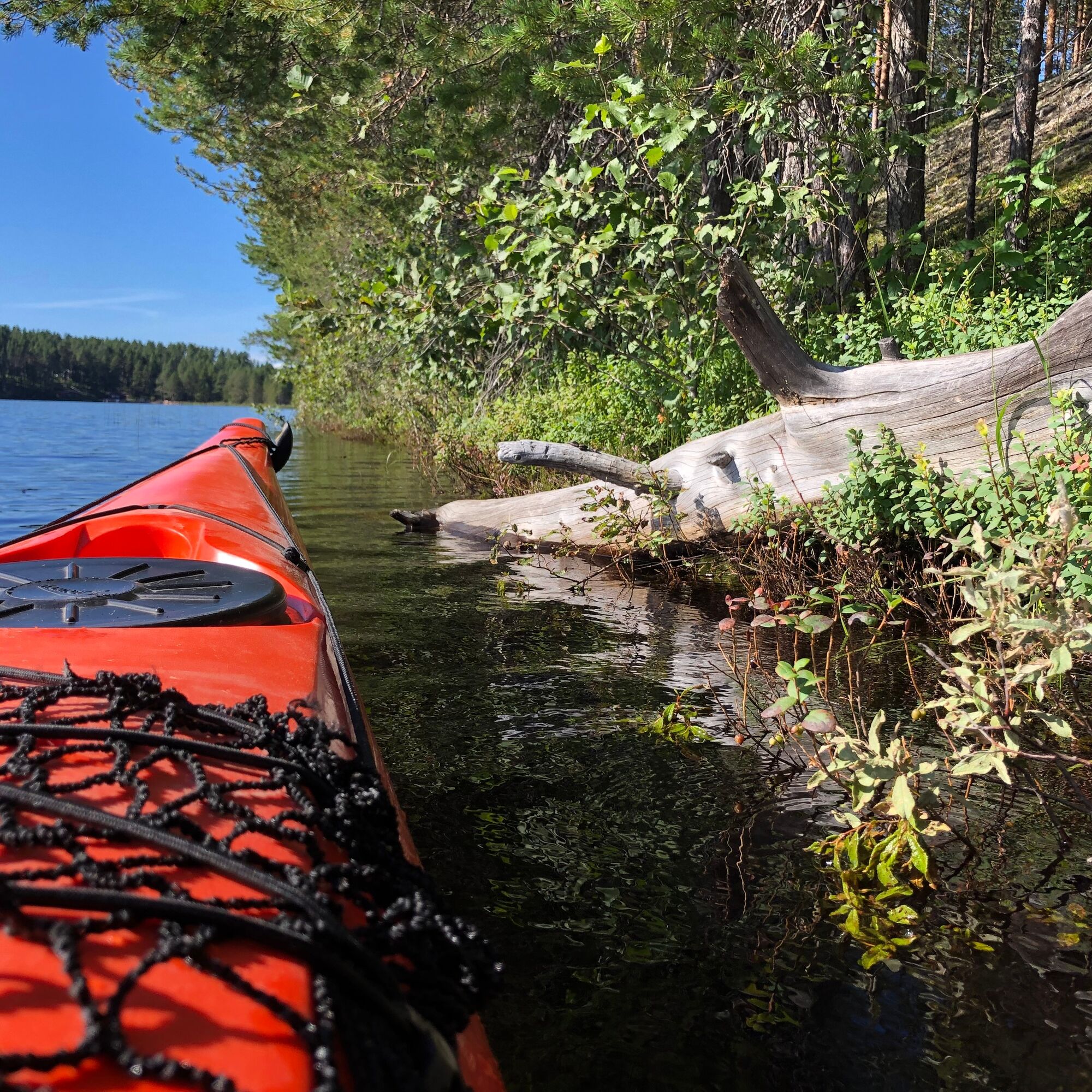

The SUP paddleboarding and kayaking route starts at the Kalevala guest marina, located on the shore behind the Winter War Museum.
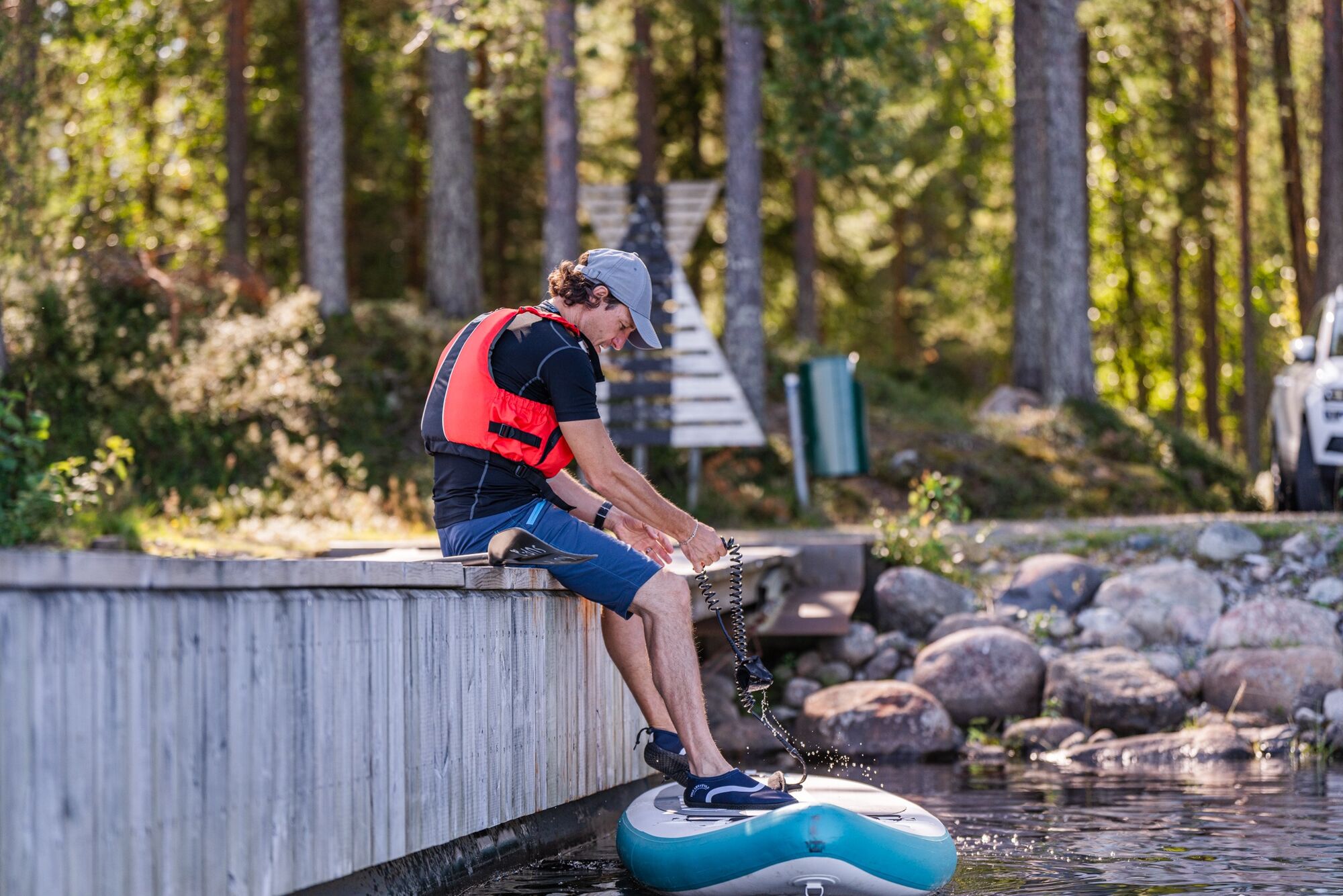
The shore next to the pier is rocky and somewhat challenging for launching/landing. Fortunately, there is also a kayaking dock next to the boat dock.
The route goes southeast (to the right) along the shore. After a small peninsula, on the right is a reed-covered isthmus, which can be paddled over during high water. At low water, the equipment must be carried over a few meters wide isthmus, or you can head directly to the island.
After crossing the Lazy Isthmus, the route continues around the island’s edge. If desired, you can detour through Laiska Bay, camping area, and bathing beach.
The campfire site on Harakkasaari comes up after paddling almost all the way around the island. Earlier, there are nice rest spots on sandy beaches.
From the campfire site, the route returns along the shores of the island and mainland to the Kalevala guest marina.
Áno
Áno
Usable: SUP board, kayak, canoe, or rowboat.
The paddler must yield to other water traffic.
Wear a life jacket while paddling and preferably paddle near the shore.
It is safest to be on the water with a friend or group, especially if unfamiliar with the water area. Check weather forecasts before the paddling trip.
Note the wind direction and strength on the open lake. There can be sideways waves near the shallow shore.
Bring spare clothes as well as snacks and drinks.
Take your phone with you packed waterproof.
You can drive close to the Kalevala guest marina. There are parking spaces, for example, near the Winter War Museum.
Follow the signs in the Kalevala area and at the Winter War Museum.
No public transport.
Near the Winter War Museum or elsewhere in the Kalevala fells area.
2
The route can also be started, for example, from the shore of Hotel Kalevala or paddled from the center of Kuhmo (e.g., Maakunnanranta),
Despite its small size, Harakkasaari offers possibilities for various kinds of recreation. There is a clearly visible path along the ridge. Although the path is not marked with painted signs, there is no risk of getting lost on the small island.
At the sandy beach by the campfire site, on the other side of the isthmus or south of the island, there are peaceful sandy beaches.
Obľúbené výlety v okolí
-
Pajakkakoski rapid trail 1 km, demanding accessible, Kuhmo
svetloTematická trasa 1,12 km -
Paddling from Maakunnanranta to Lentuankoski 8/16 km, Kuhmo
strednáKajak / Kanu 7,54 km -
Lentuankoski trail 0.8 km, accessible, Kuhmo
svetloTematická trasa 0,77 km -
Lauttavaara nature trail 2.5 km, Lentua
svetloTematická trasa 2,27 km -
Jämäs paddling route 12 km, Kuhmo
ťažkéKajak / Kanu 11,8 km -
Paddling to Lammasjärvi Honkinen 12/24 km, Kuhmo
strednáKajak / Kanu 11,5 km -
Kuhmo Lakeside trail 4.8 km, Kuhmo
svetloTematická trasa 4,77 km -
Leskensaaren kierros paddling route 5 km, Kuhmo
svetloKajak / Kanu 5,04 km -
Petola nature trail 0,5 km, Kuhmo
svetloTuristika 0,39 km -
Lieksa
Motorrad 362,1 km

Turistika a stopovanie


Nenechajte si ujsť ponuky a inšpiráciu na ďalšiu dovolenku
Vaša e-mailová adresa bol pridaný do poštového zoznamu.


