


Pienenmäen route 12.6 km, Ukkohalla

Úroveň náročnosti: S2
The Ukkohalla area is known for its fell scenery, and this mountain biking route offers it both physically and visually. It is advisable to take the beginning of the route calmly, as the start climbs a...
The Ukkohalla area is known for its fell scenery, and this mountain biking route offers it both physically and visually. It is advisable to take the beginning of the route calmly, as the start climbs a gentle road for about 3 kilometers to the summit of Pieni Tuomivaara. The elevation gain is over 120 meters, but the views from the summit are rewarding. After the summit, the route plunges into pristine fell spruce forest, and the old ski trail base offers a good opportunity for fast riding. The route descends from the ski trail base partly along a gravelled path to the northern end of Vorlokki gorge, from where it turns towards Pienenmäki along a well-maintained path. The final part of the route runs along gravel roads back to the Ukkohalla center. There is no rest stop along the route, but the start point has café and restaurant services.
The route is technically challenging and is not a suitable choice for first-timers in mountain biking. The route has a lot of rocks and roots as well as elevation changes, and in some sections it is advisable to walk your bike. A nice route for those with prior mountain biking experience!

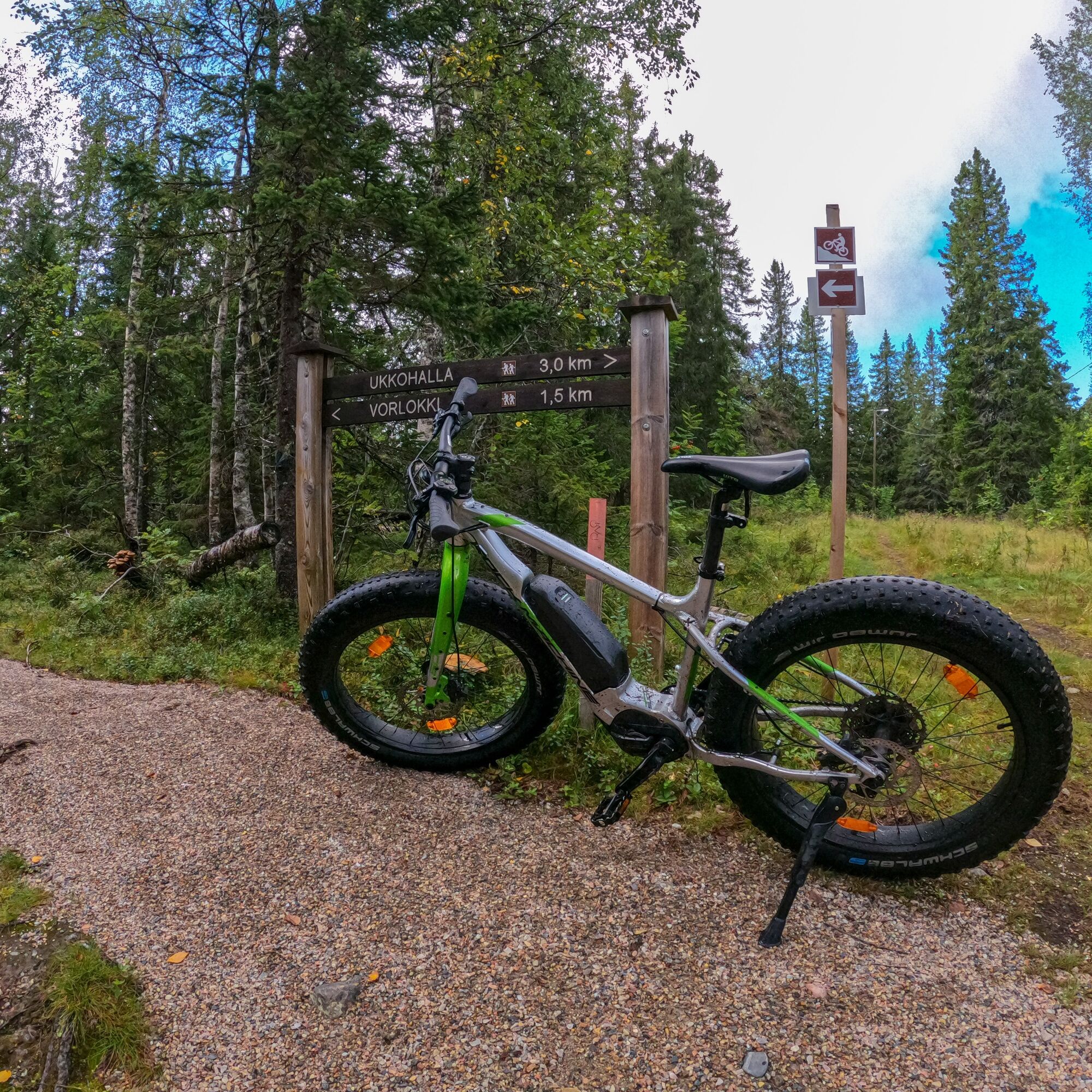
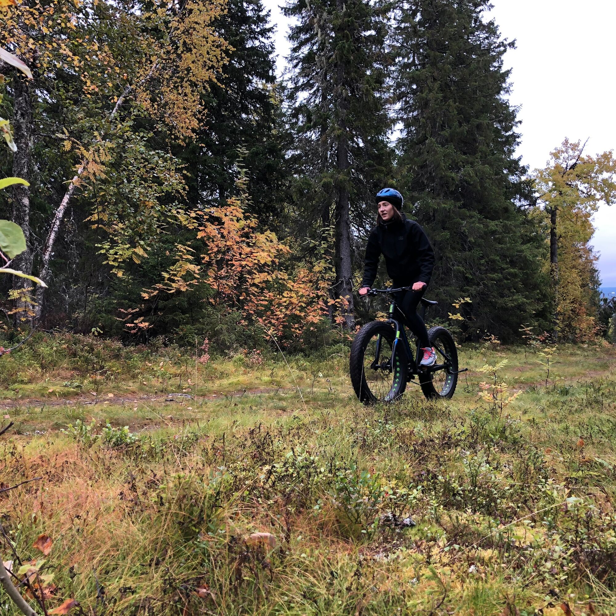
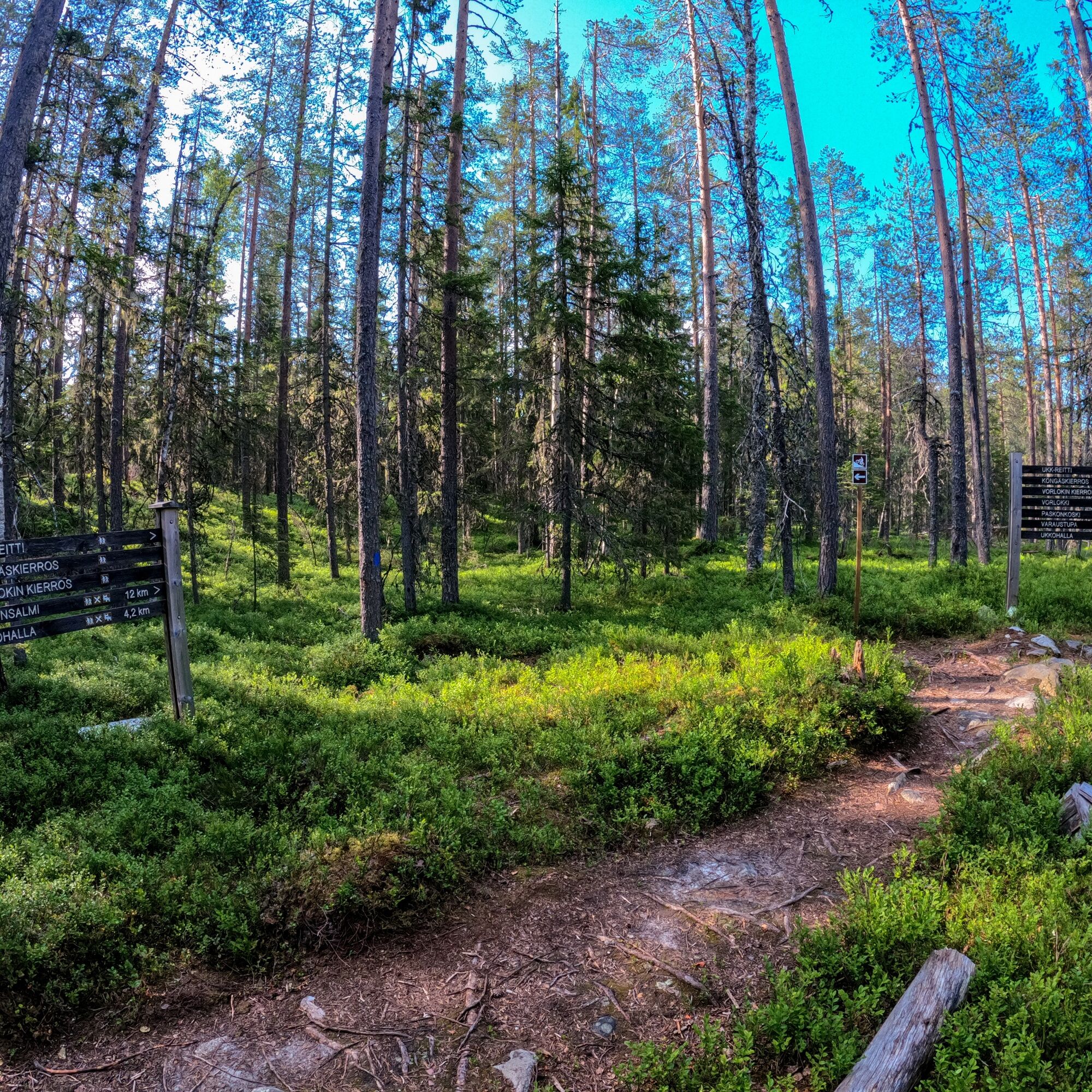
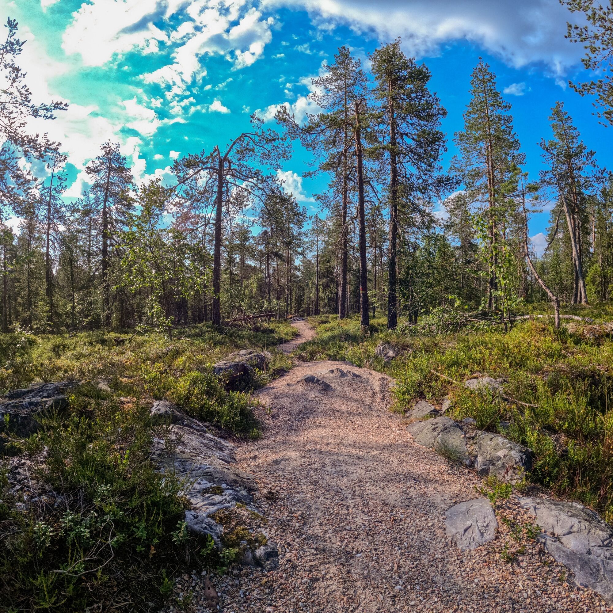
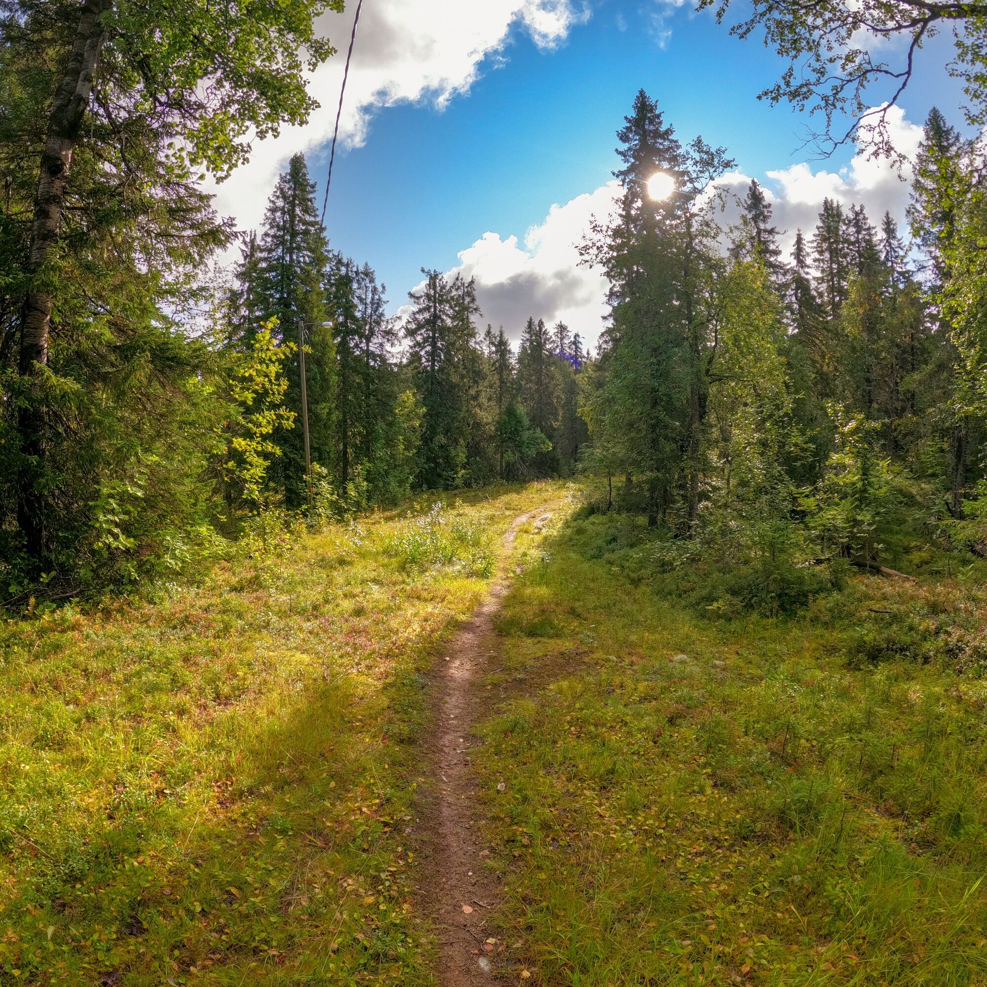
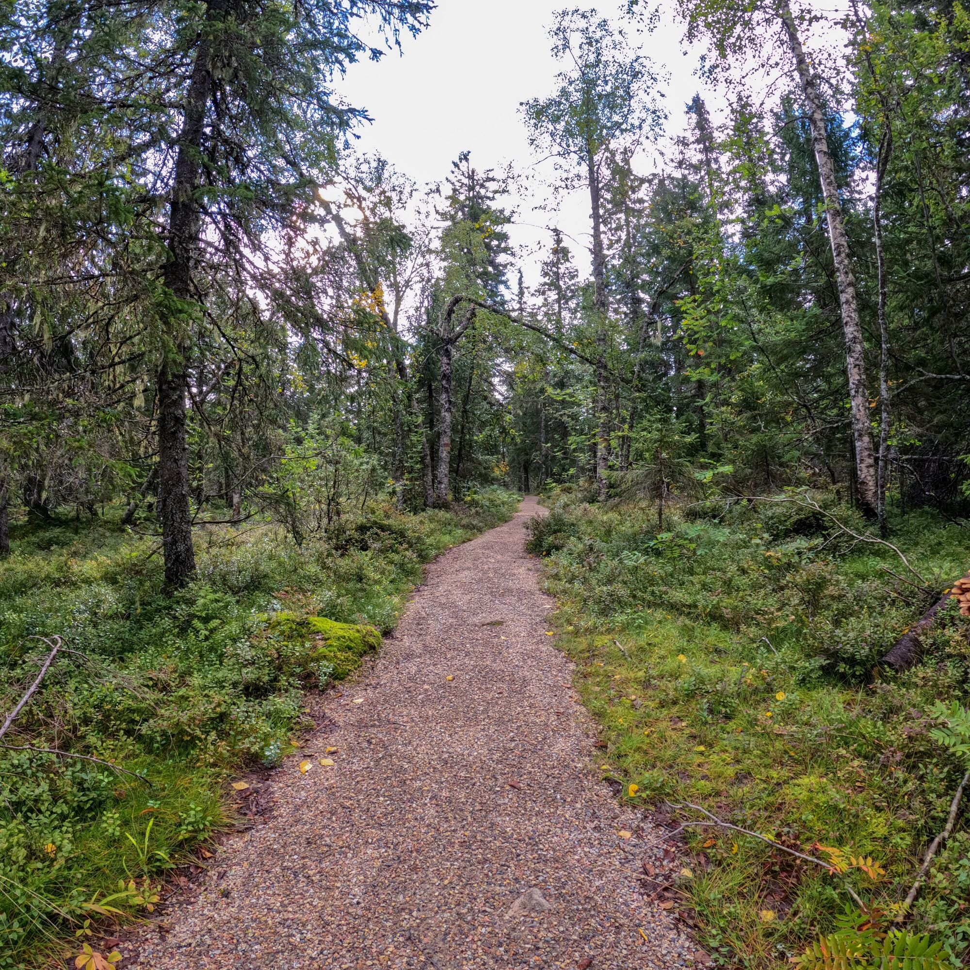
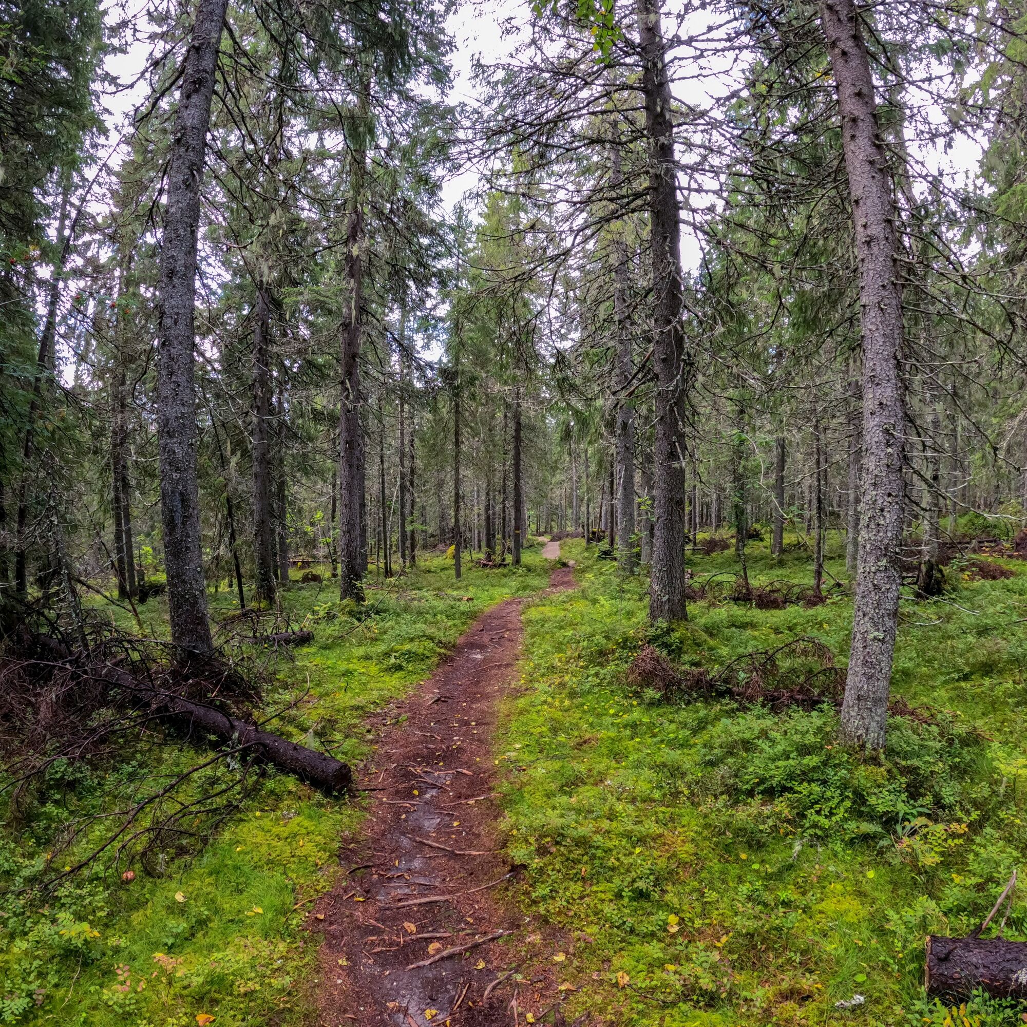
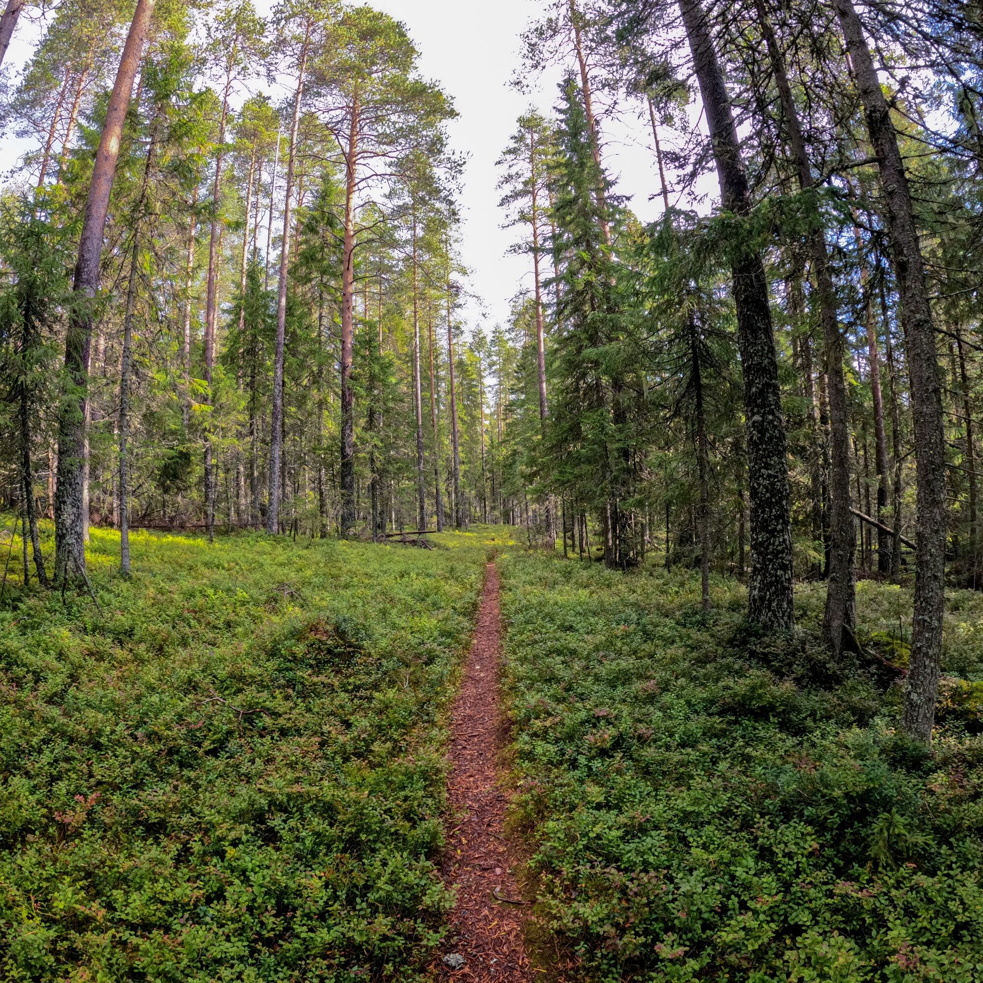
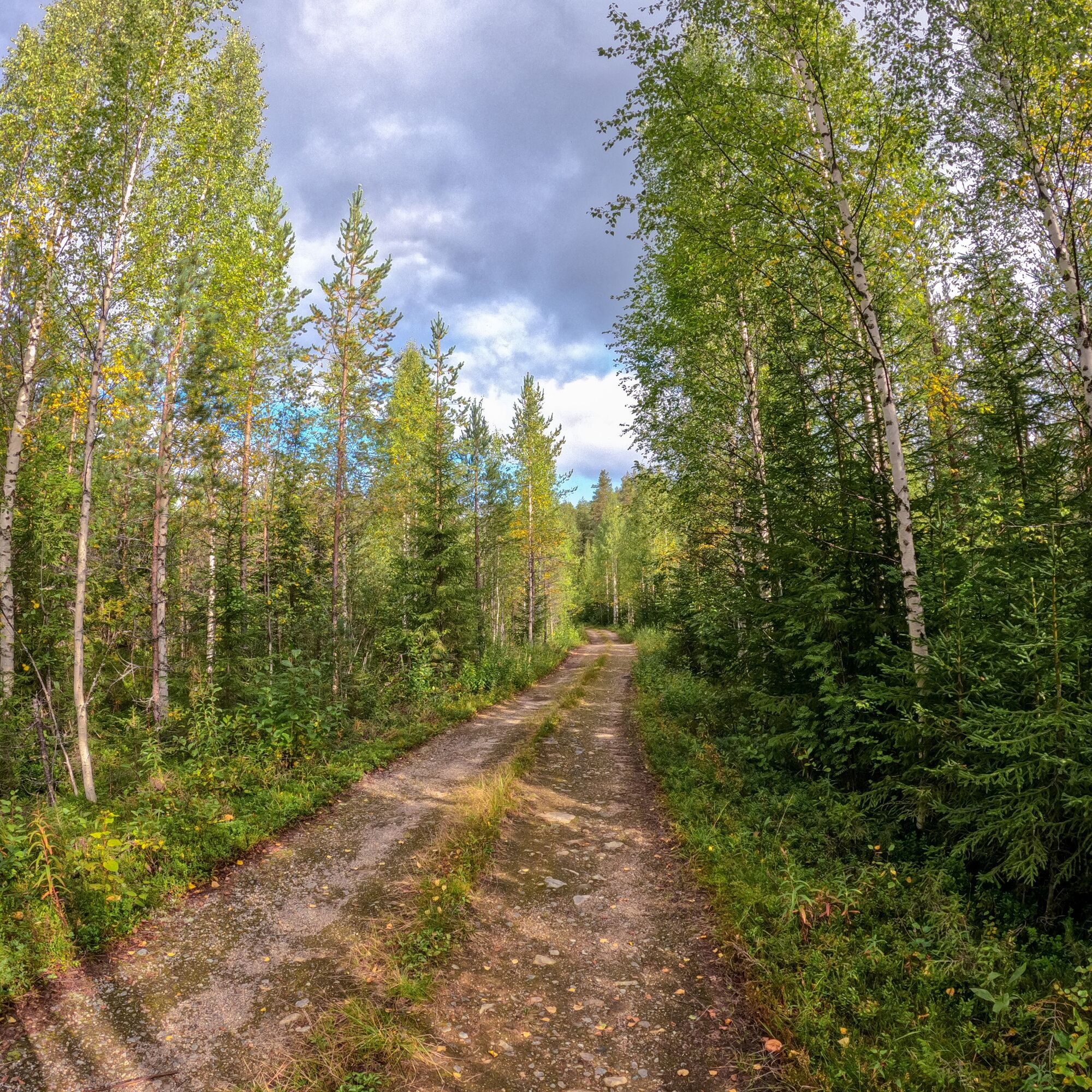

The route starting from the Ukkohalla parking area initially heads back towards the resort center’s entrance and turns right onto the gravel road of Pienenmäentie after one kilometer of riding. The gravel road starts to gently climb towards the summit of Pieni Tuomivaara, and after about 1.5 kilometers, it turns right at an intersection. After the junction, the ascent steepens and continues steadily for a little over a kilometer to the top of the hill. The best place to enjoy the views at the summit is by the upper station of the ski lifts. From the summit, the route continues past the parking area and turns right towards the forest. In the forest, the route follows the old ski track base, with alternating small uphill and downhill sections. About two kilometers later, at a long right turn, stay on the route and do not turn left. After a little over a kilometer, the route turns right into the forest towards Vorlokki. After about 1 km, there is the most challenging and rocky section of the route where it is advisable to walk the bike. Roughly 1.5 km later, you reach the northern end of the Vorlokki gorge, where the route turns left, and immediately after this is another intersection where you continue straight. After a little over a kilometer, you arrive at a forest road, which you follow left towards Pienenmäentie. You reach Pienenmäentie after about 2 km, where you turn left and continue along Pienenmäentie back to Ukkohalla.
The route is marked in the terrain with mountain biking signs featuring a mountain biker icon on a brown background.
Áno
Áno
Clothing suitable for the weather.
A cycling helmet and appropriate protective gear.
The trail passes through rocky and root-filled terrain in places.
Bring drinks and snacks as there are no services along the route.
Also bring a first aid kit.
If you get into an emergency during your trip, for example if you get lost, injured, or observe a forest fire, call 112 and make an emergency notification.
It is allowed and recommended to walk your bike through more challenging terrain sections.
The route partially follows the same trail as hiking routes—note that hikers may also be on the trail.
From the south and Kuusamo direction, drive along highway 5 to Hyrynsalmi, then turn onto Puolangantie 891. Continue for 14.3 km and turn left at the village of Väisälä onto Hallanmaantie. Drive straight for 3 km, then turn left onto Hallanmaantie and continue straight for 1.5 km until you reach the Ukkohalla center.
From the directions of Rovaniemi and Oulu, via Puolanka, drive along regional road 78, then turn left after 6.5 km from Puolanka onto Hyrynsalmentie 891 towards Hyrynsalmi. Drive straight for 31 km, then turn right at the village of Väisälä onto Hallanmaantie. Drive straight for 3 km, then turn left onto Hallanmaantie and continue straight for 1.5 km until you reach the Ukkohalla center.
When using Google Maps, it is advisable to set Rasinkylä as a waypoint to get correct directions.
You can reach Ukkohalla by bus from Kajaani. Note that missing your stop at the Lauttakylä bus stop means about 2 km more to Ukkohalla.
Note that public transport is not the most optimal option to reach this route.
Free parking Ukkohallantie 18.
S2
Do not rush to the top of Pieni Tuomivaara during the long ascent so that you have enough energy left for the rest of the route.
Obľúbené výlety v okolí
-
Kokko Harju hiking route to Komulanköngäs 9 km, Ukkohalla
strednáTuristika 8,97 km -
Ilveskota mountain biking route 16 km, Paljakka - Puolanka
strednáMountainbike 16,4 km -
Vorlok route hiking trail 14 km, Ukkohalla
ťažkéTuristika 13,5 km -
Paljakka MTB round tour 46/65 km, Paljakka - Ukkohalla
ťažkéMountainbike 65,2 km -
Seitenoikea-Hyrynsalmi UKK route 14.3 km, Hyrynsalmi
strednáTuristika 14,1 km -
Fell Conquest snowshoeing 2.8 km, Ukkohalla
ťažkéSnežnice 2,86 km -
Ilveskierros 14 km, Paljakka
ťažkéTuristika 13,8 km -
Metlanmetsä mountain biking route 3.5 km, Paljakka - Puolanka
svetloMountainbike 3,47 km -
Vorlokki mountain bike route 13.3 km, Ukkohalla
ťažkéMountainbike 13,2 km -
Ukkohalla-Hyrynsalmi UKK route 14.5 km, Hyrynsalmi
strednáTuristika 14,4 km
Turistika a stopovanie


Nenechajte si ujsť ponuky a inšpiráciu na ďalšiu dovolenku
Vaša e-mailová adresa bol pridaný do poštového zoznamu.


