


Latvavaara mountain biking route 10 km, Paljakka - Puolanka

Úroveň náročnosti: S2
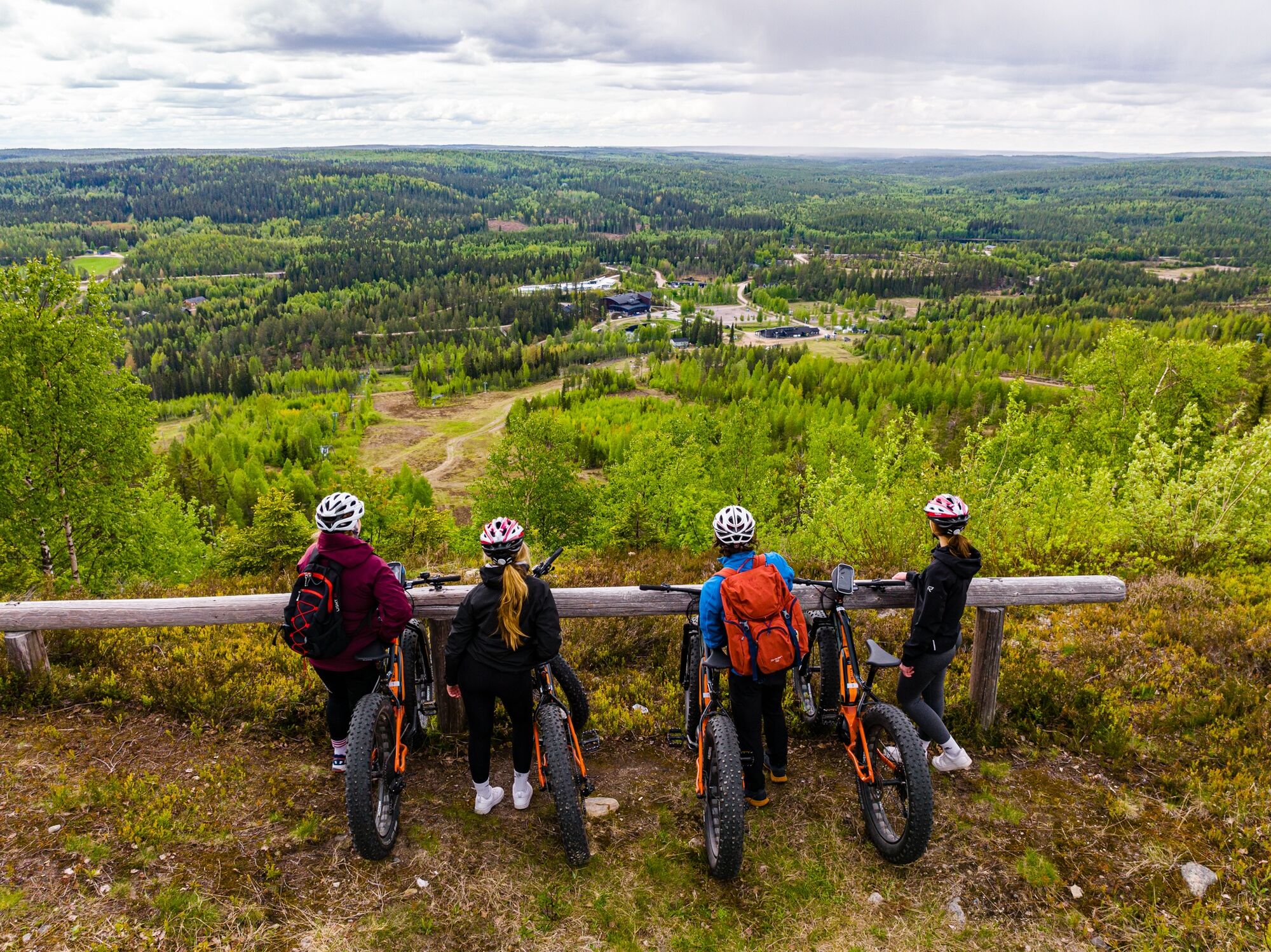
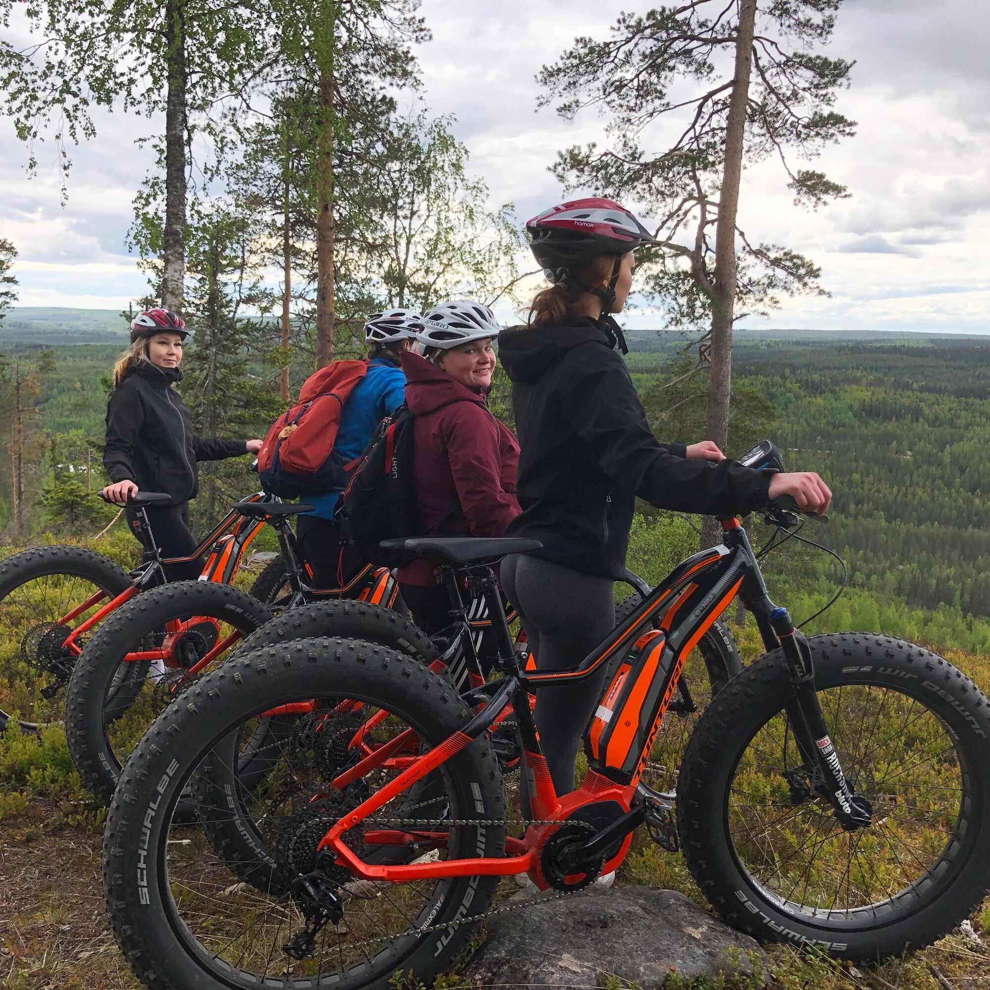
The highest points of Latvavaara rise above the Paljakka tourist center. This mountain biking route leads you to admire the dramatic views from the ridge of Teeriharju on the fell. The highest points of...
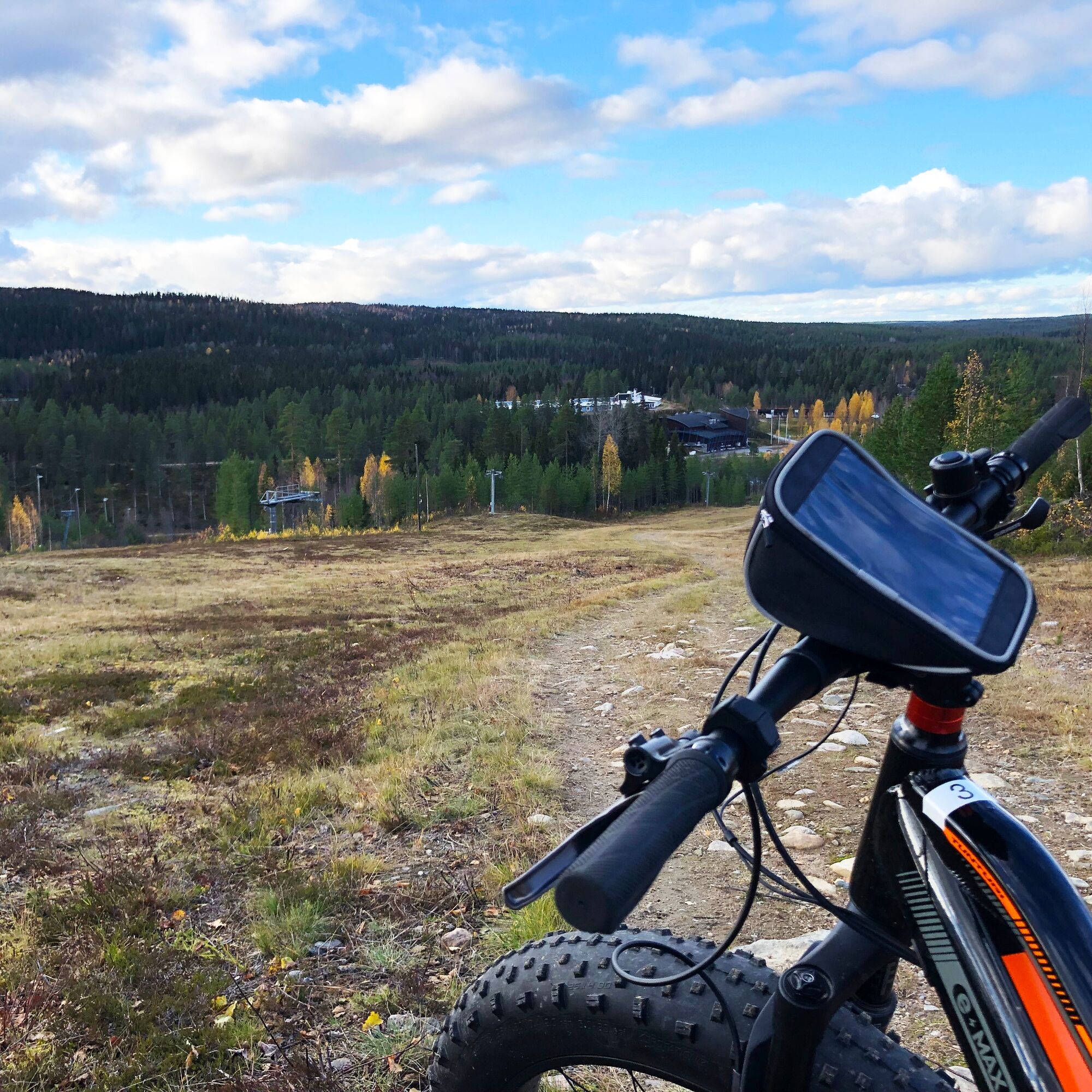
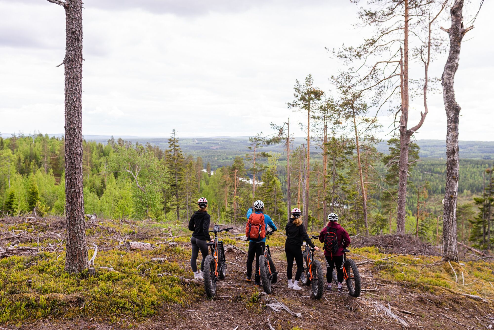
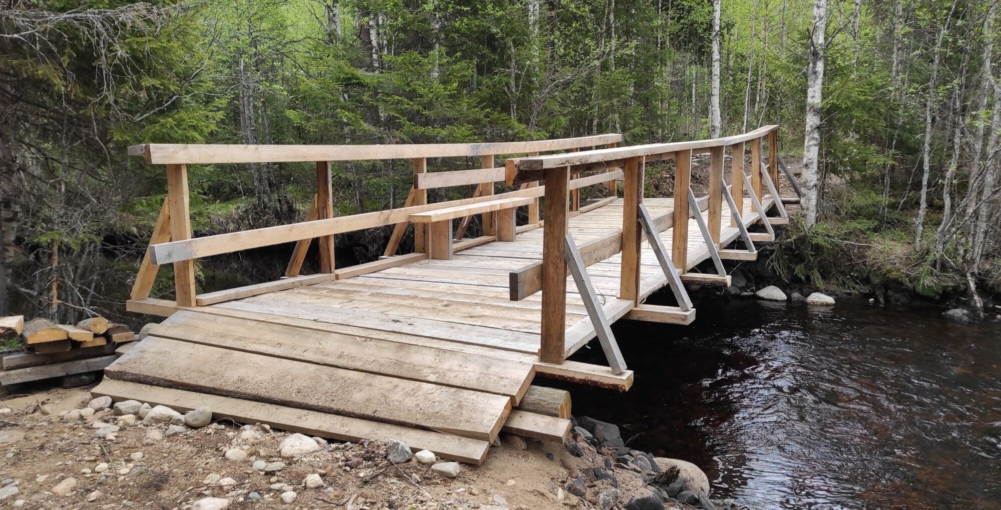
The highest points of Latvavaara rise above the Paljakka tourist center. This mountain biking route leads you to admire the dramatic views from the ridge of Teeriharju on the fell. The highest points of the route pass through the upper parts of the ski slopes. You don’t have to cycle all the way up the slope because the route first takes you through Lohisuo to the idyllic village of Latva, and then towards the most impressive views of Latvavaara. The return goes along the northern side of the slope area trail. The route continues through an old spruce forest in the protected area on the fell’s ridge and descends to the Louhenjoki River. The bridge crossing the river is a nice resting place.
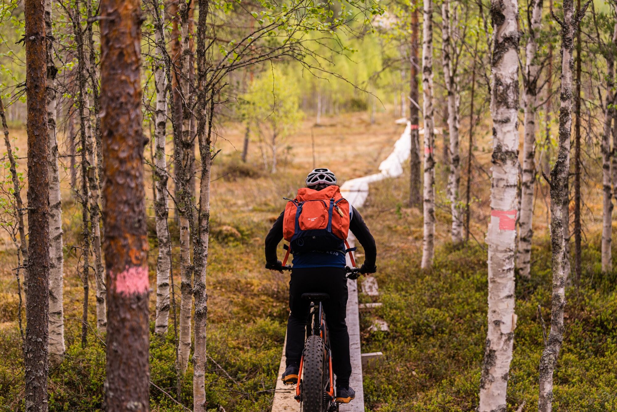
The Latvavaara mountain biking route is slightly challenging, but you can manage it even with less mountain biking experience. The difficulty is increased by the initial climb on the slope area, the Lohisuo boardwalk section (3 boards side by side), the trail sections on the fell’s ridge, and the steep descent back to lower terrain. However, most of the route consists of easy trail and road sections.
There are rest stops at the Lohisuo boardwalk bench, the Teeriharju viewpoint, the kota shelter on top of Latvavaara, and the Louhenjoki bridge.

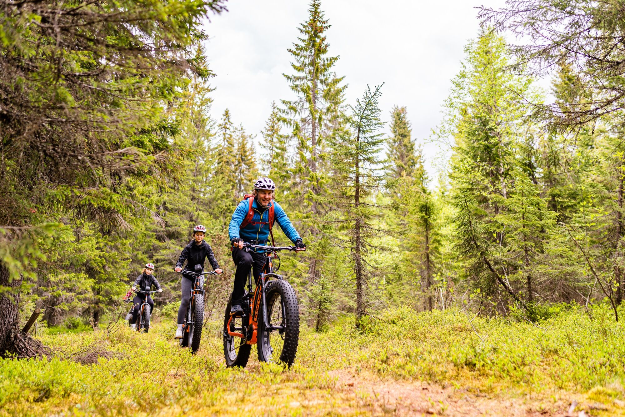
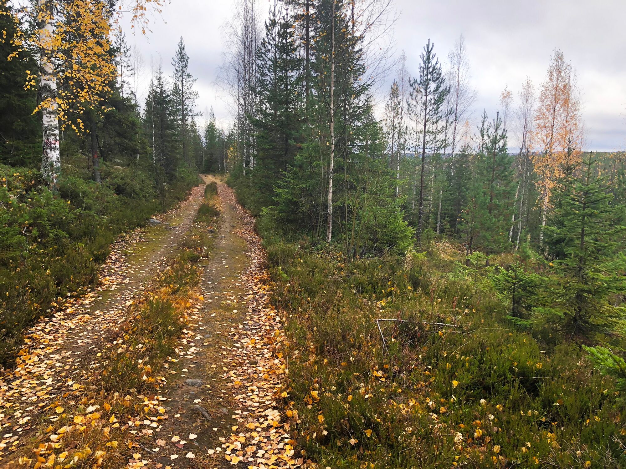
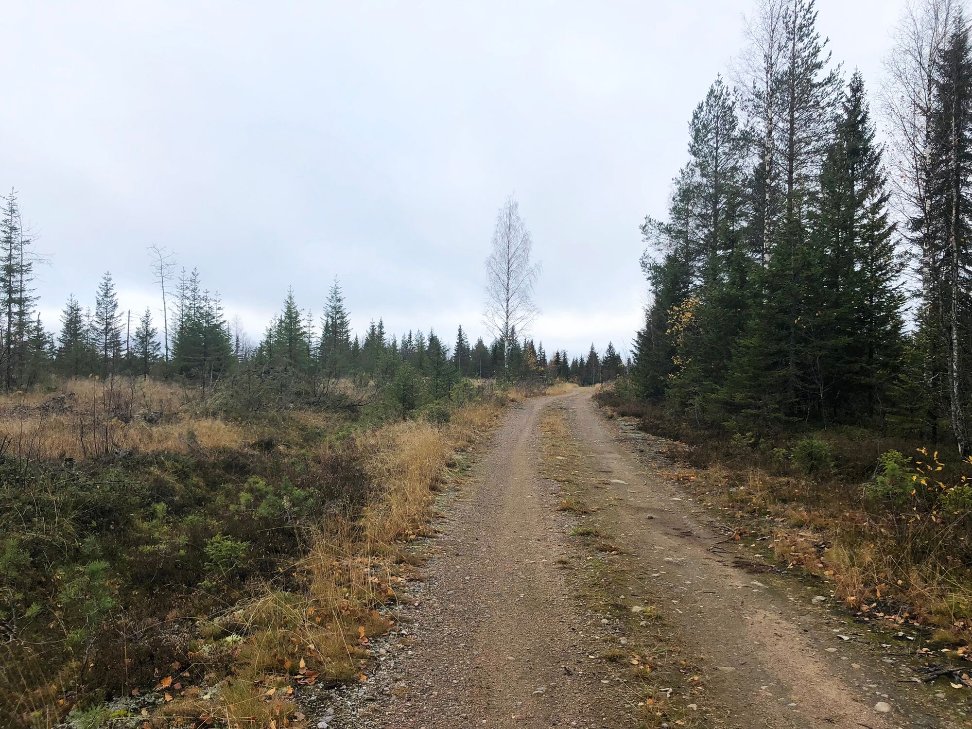
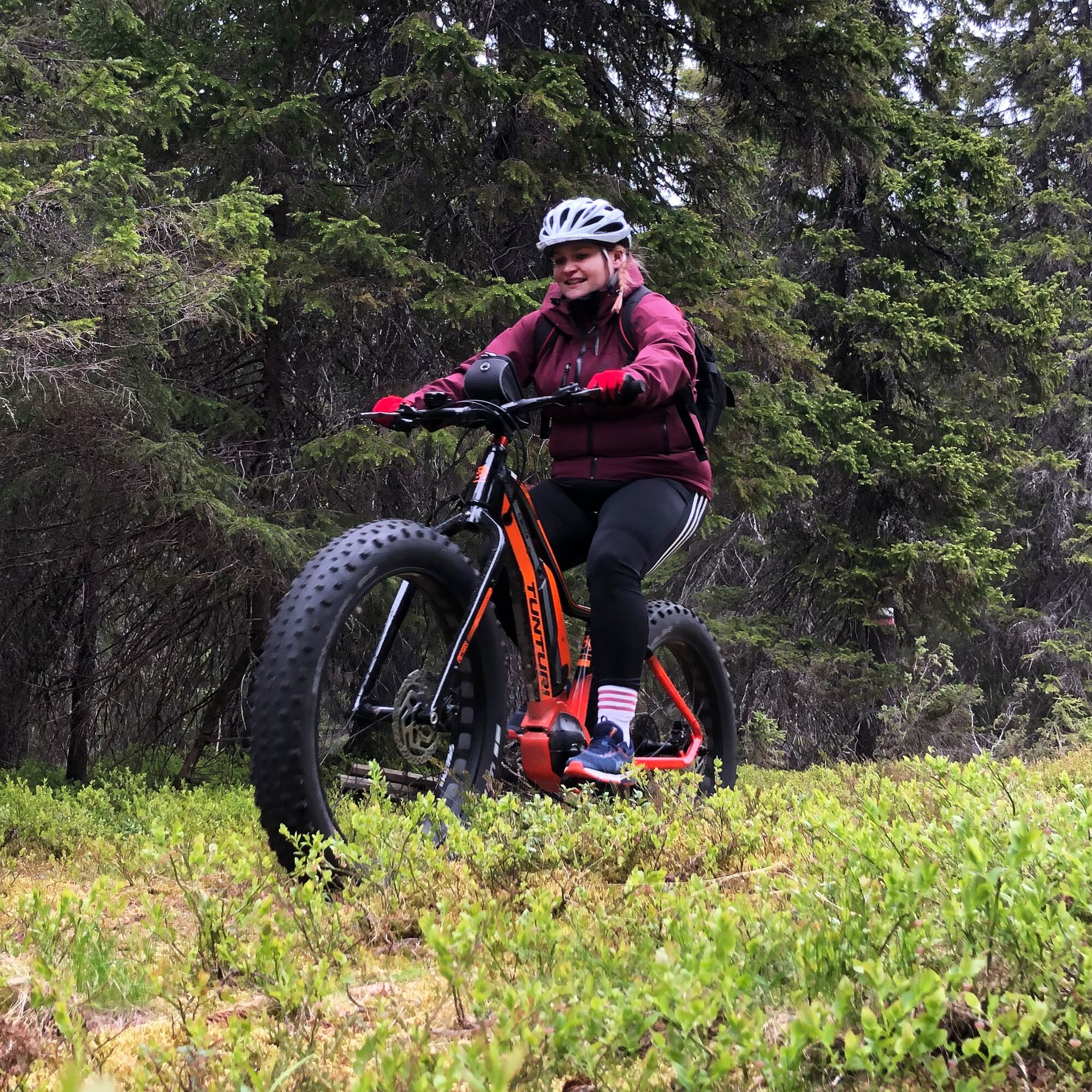
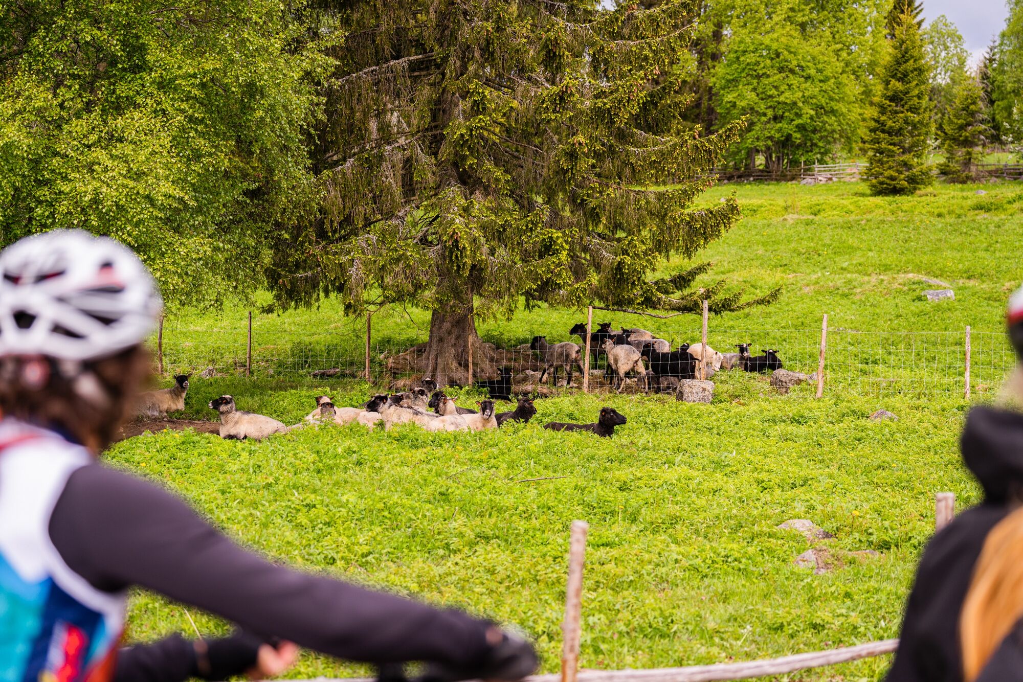
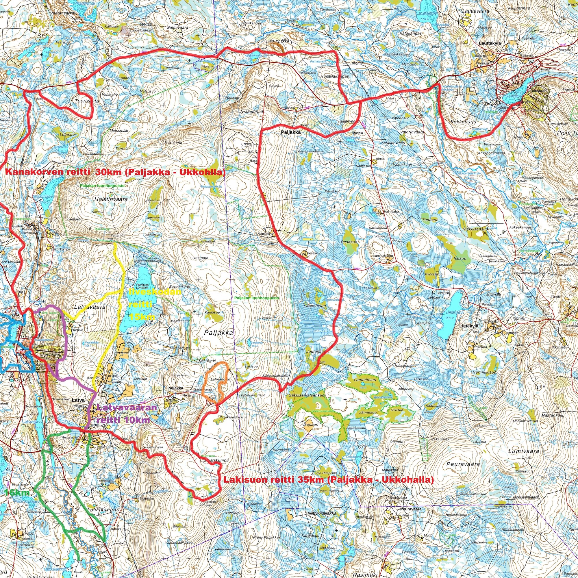

The route is marked in the terrain with purple paint markers.
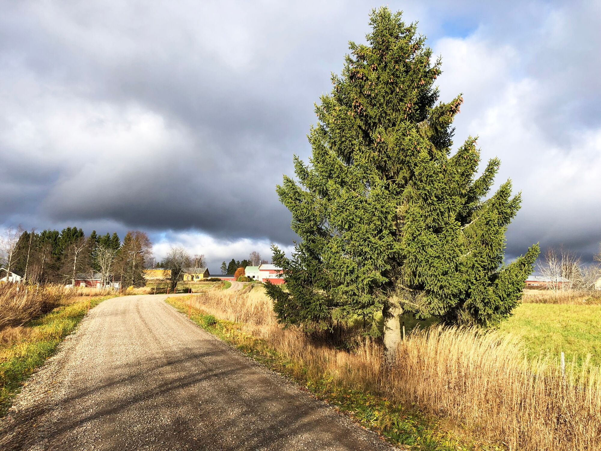
The Latvavaara mountain biking route starts next to the parking lot of the Paljakka tourist center. First, you cycle up a path running on the slope area, halfway up a ski slope, after which the path turns south and follows more along a contour line. From the slope area, you move into young forest and cycle along the edge of Lohisuo. Boardwalks cross the swamp and lead to the village of Latva. The route reaches Latvantie, where you turn left to cycle along the road edge. After the village of Latva, the route diverges onto a smaller road that leads toward the upper parts of the ski slopes and Teeriharju. At the highest points, you can admire the views and take a break at the lean-to shelter.
From Teeriharju, the route moves onto a forest trail. It initially runs over the ridge across a nature reserve area and then joins a trail coming from Ilveskota. This trail descends steeply down along the bank of the Louhenjoki River. After the bridge, turn left soon and the route runs for some distance under a power line. The final stretch runs near the Louhenjoki River.
Áno
The route is rideable with a mountain bike. Electric assistance increases the comfort of traveling.
You can find more information about renting bikes on the paljakka.fi website.
Be sure to bring at least some drink, as there are no services available along the route.
The route runs on short sections along public roads, where you should be cautious of other traffic.
The route has some challenging climbs and descents.
It is advisable to bring a first aid kit and a water bottle.
If you get into distress during your trip, call 112 and make an emergency report.
Google maps / navigator: Paljakka Tourist Center (Puolanka / Kotila).
From Kajaani: About 40 km via road 5 from Kajaani. From Ristijärvi, turn towards Puolanka (road number 888) for about 23 km. Turn right at the store junction (Hoikanvaarantie) for 3 km. Turn right to the ski center.
From Paltamo: About 25 km towards Puolanka. Turn right towards Ristijärvi (road number 888) for 10 km. Turn left at the store junction for 3 km and then right to the ski center.
From Oulu: From Oulu to Utajärvi, then to Puolanka. Pass Puolanka-Paltamo towards Kajaani for 26 km, turn left (road number 888) for 10 km. Turn left at the store junction for 3 km and then right to the ski center.
There is no regular public transport to Paljakka.
In the Paljakka center area
S2
Information about the services in the Paljakka area is available at https://paljakka.fi/
Stop by the upper station of the lifts to admire the views and take a break at the lean-to shelter.
Obľúbené výlety v okolí
-
Kokko Harju hiking route to Komulanköngäs 9 km, Ukkohalla
strednáTuristika 8,97 km -
Ilveskota mountain biking route 16 km, Paljakka - Puolanka
strednáMountainbike 16,4 km -
Vorlok route hiking trail 14 km, Ukkohalla
ťažkéTuristika 13,5 km -
Paljakka MTB round tour 46/65 km, Paljakka - Ukkohalla
ťažkéMountainbike 65,2 km -
Cycling the Vaarojen Kainuu 192 km, Kainuu
ťažkéDiaľková cyklotrasa 191,3 km -
Fishing route 6 km, Paljakka
svetloTematická trasa 6 km -
Ilveskierros 14 km, Paljakka
ťažkéTuristika 13,8 km -
Metlanmetsä mountain biking route 3.5 km, Paljakka - Puolanka
svetloMountainbike 3,47 km -
Cycling to Pirunkirkko 9 km, Paljakka-Puolanka
svetloCyklistika 9,06 km -
Vorlokki mountain bike route 13.3 km, Ukkohalla
ťažkéMountainbike 13,2 km
Turistika a stopovanie


Nenechajte si ujsť ponuky a inšpiráciu na ďalšiu dovolenku
Vaša e-mailová adresa bol pridaný do poštového zoznamu.


