



Loimijoki paddling route

The Loimijoki paddling route is located in Southwest Häme and is about 80 km long. There is an elevation difference of 30 m along the way. The headwaters of Loimijoki stand out for their rougher and more...
The Loimijoki paddling route is located in Southwest Häme and is about 80 km long. There is an elevation difference of 30 m along the way. The headwaters of Loimijoki stand out for their rougher and more forested Tammela upland environment. The route starts from Liesjärvi National Park and continues along the Turpoo River through Kuivajärvi to Tammela Pyhäjärvi. Loimijoki originates from Tammela Pyhäjärvi and flows through the municipalities of Forssa, Jokioinen, Ypäjä, and Loimaa.
Watch the introduction video of the Loimijoki paddling route from this link.

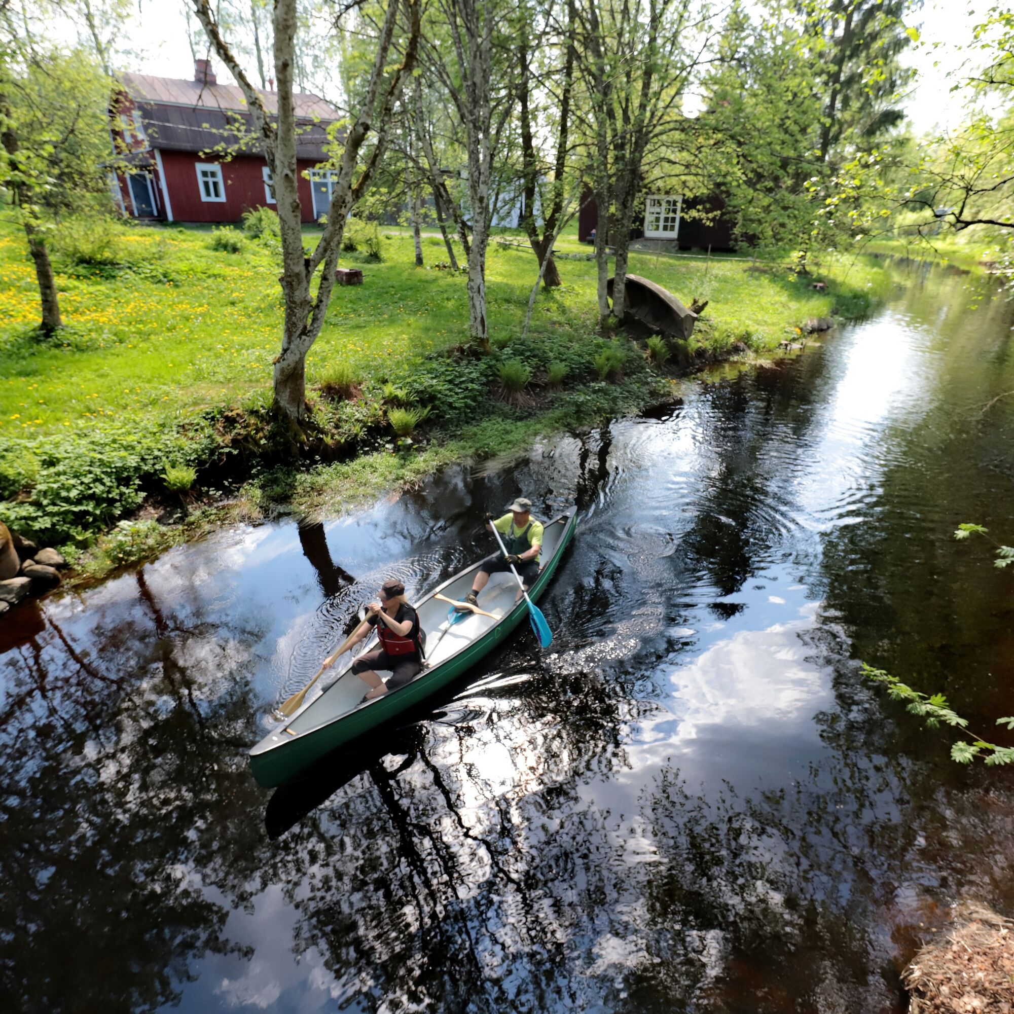
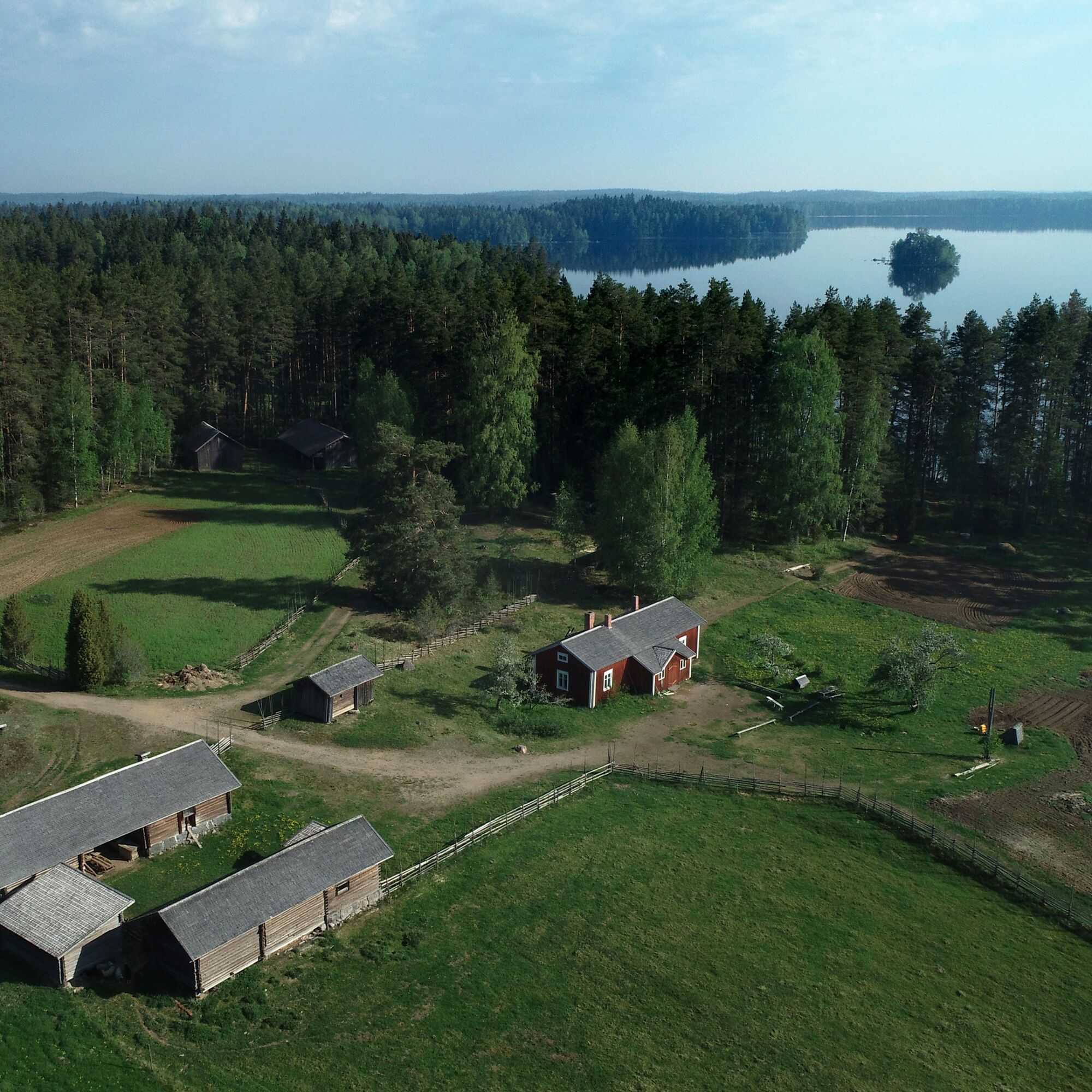
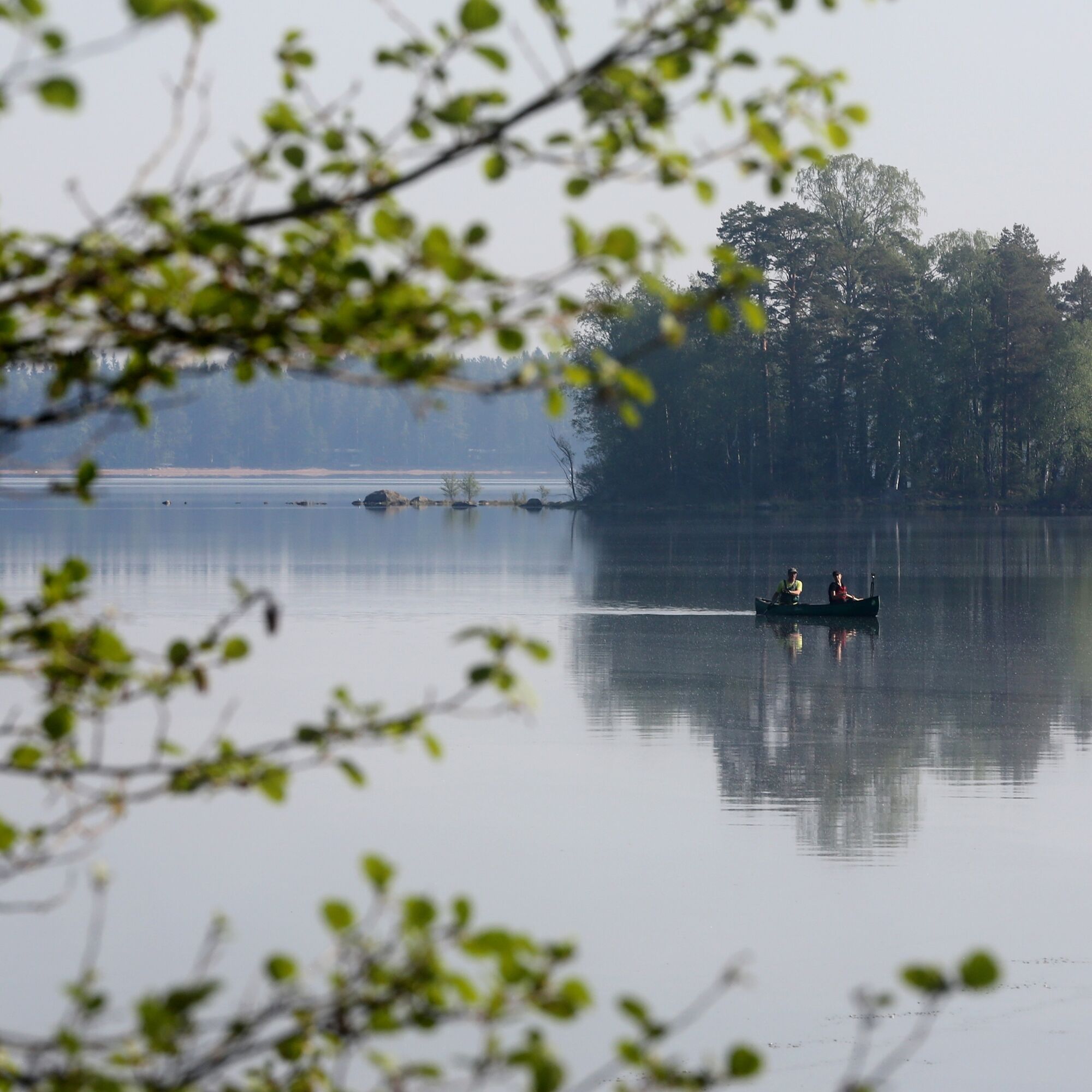
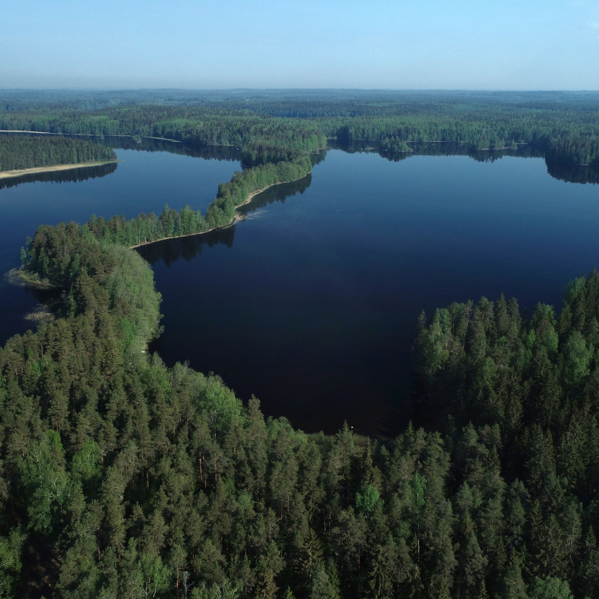
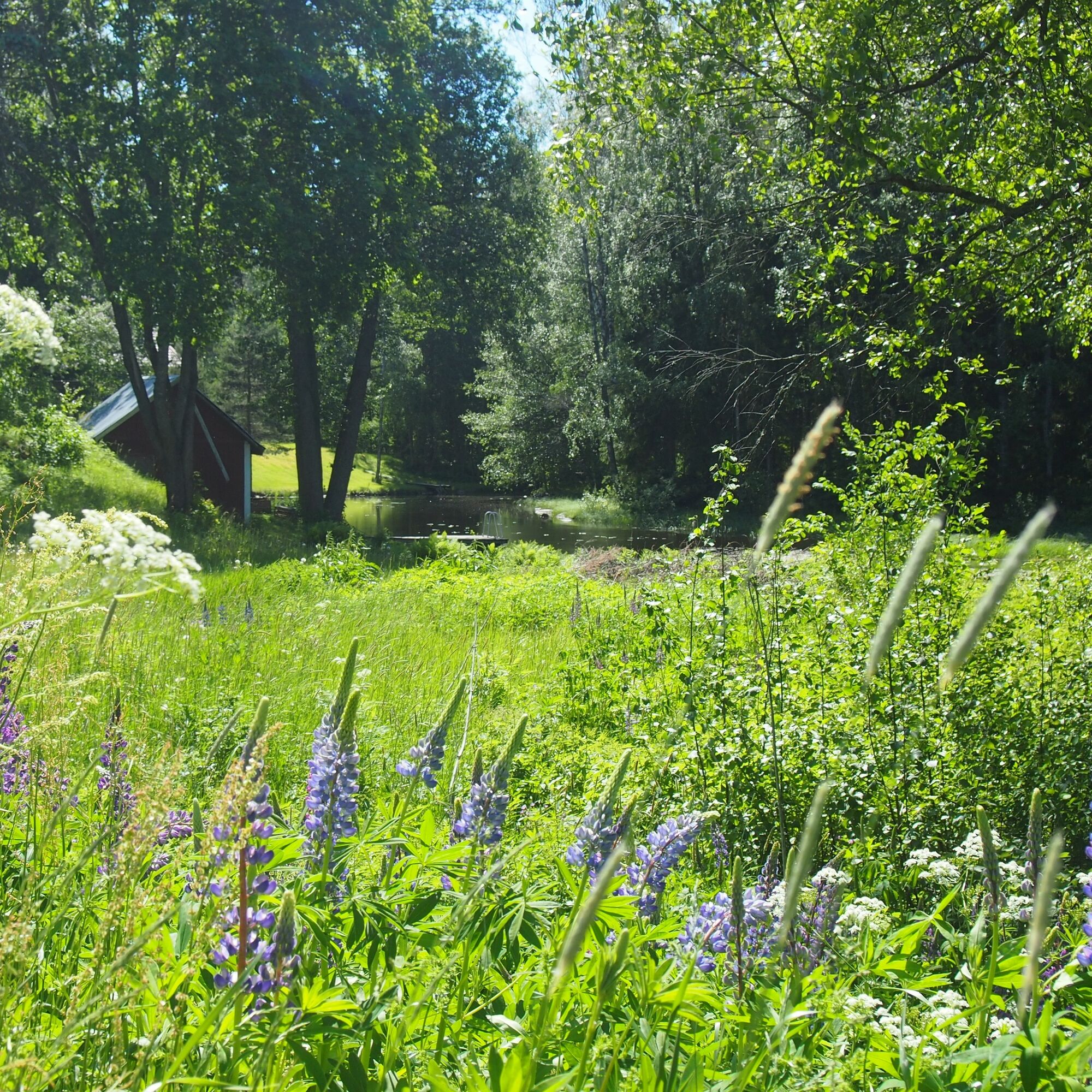
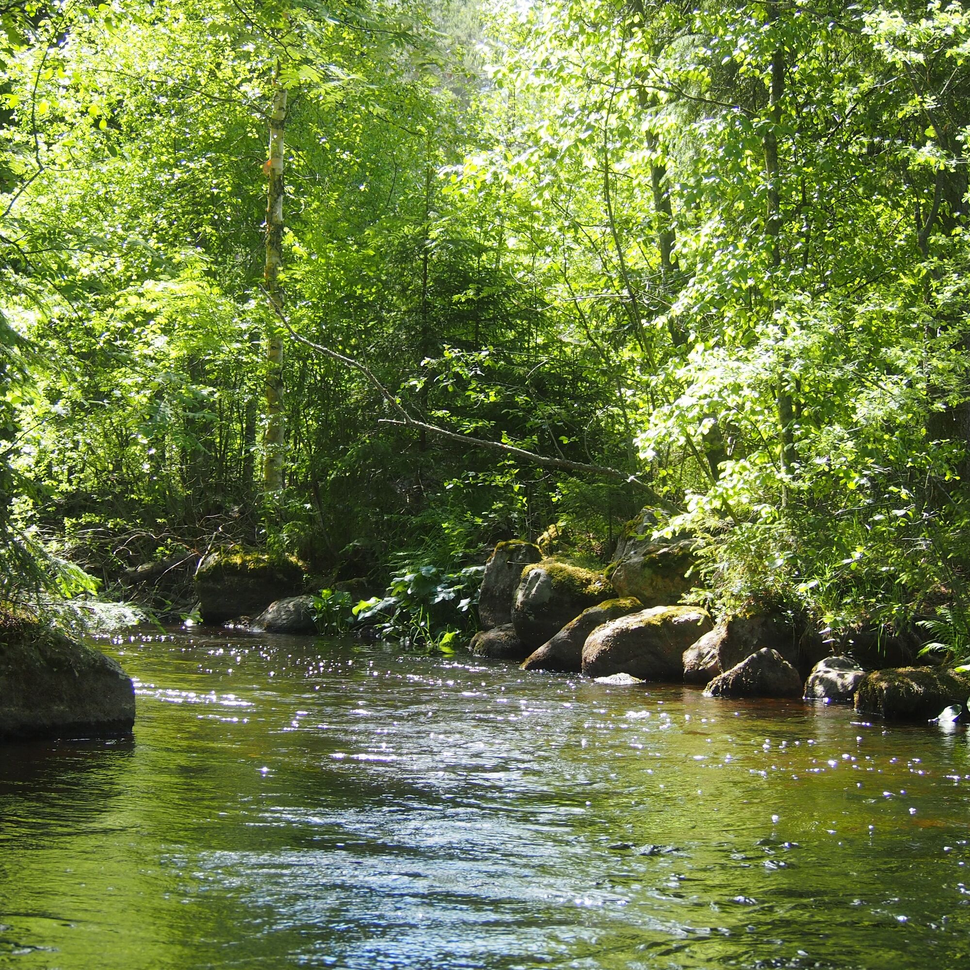


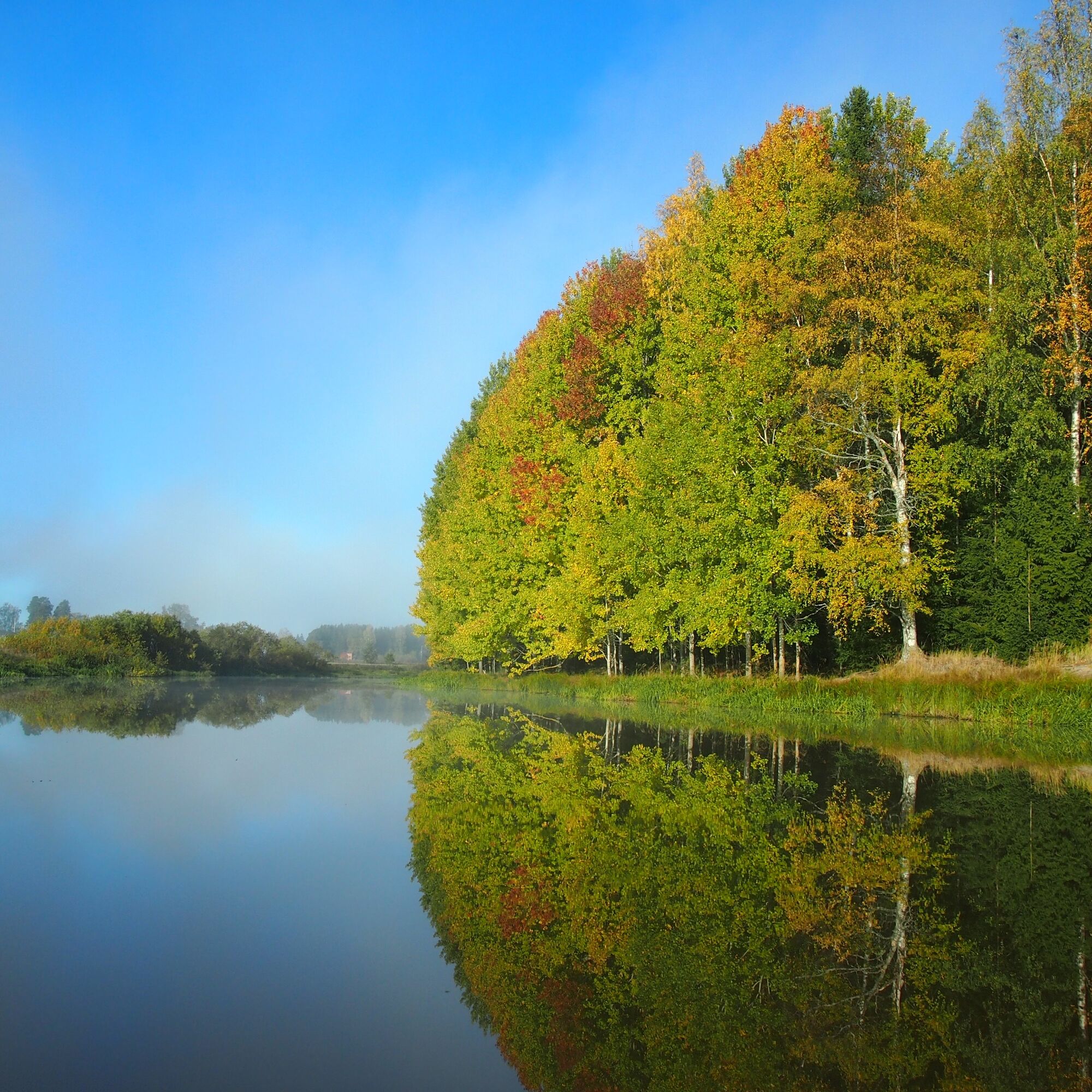

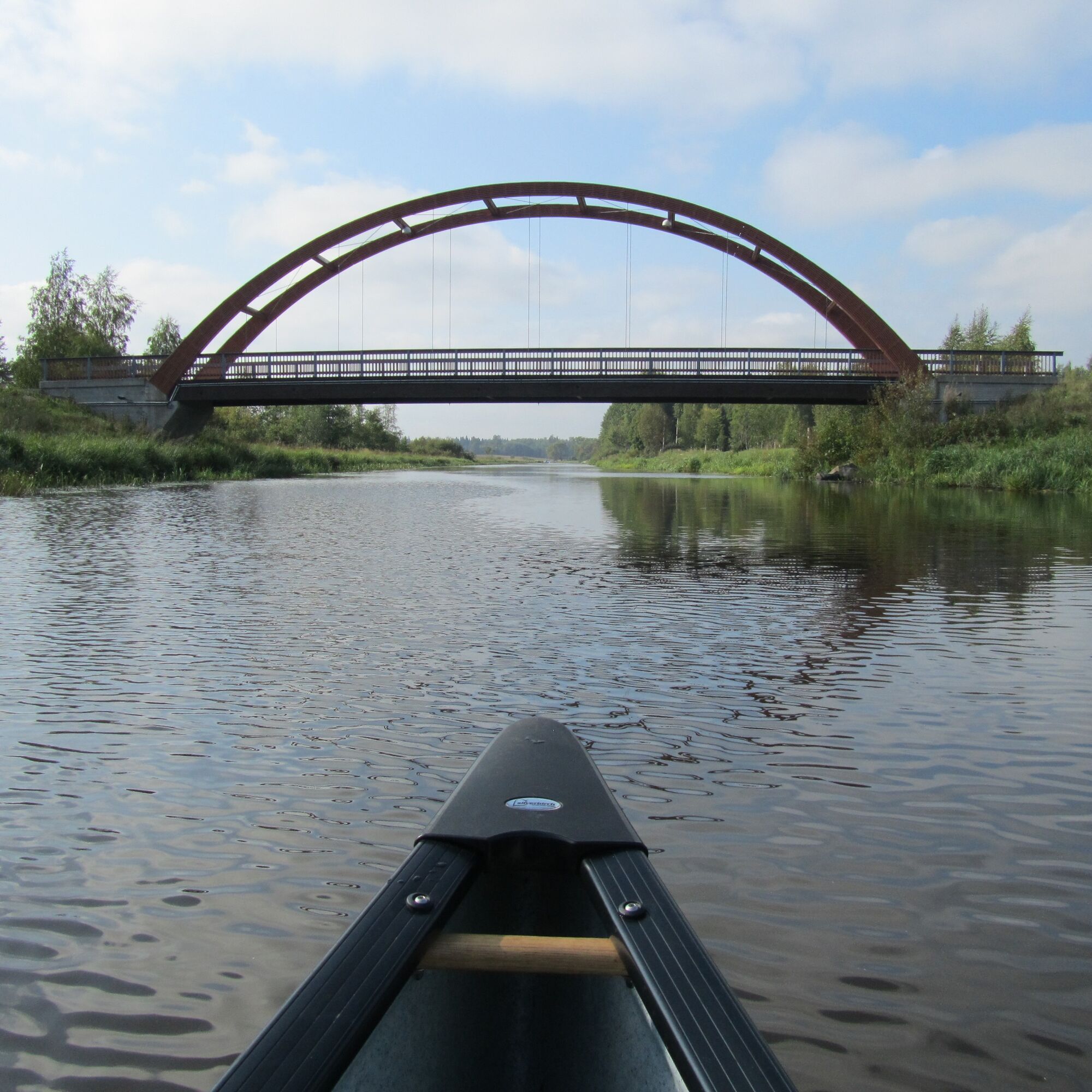
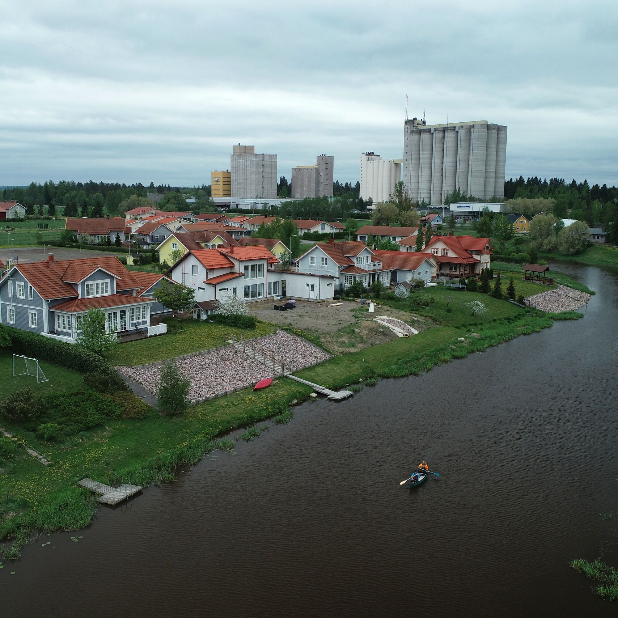
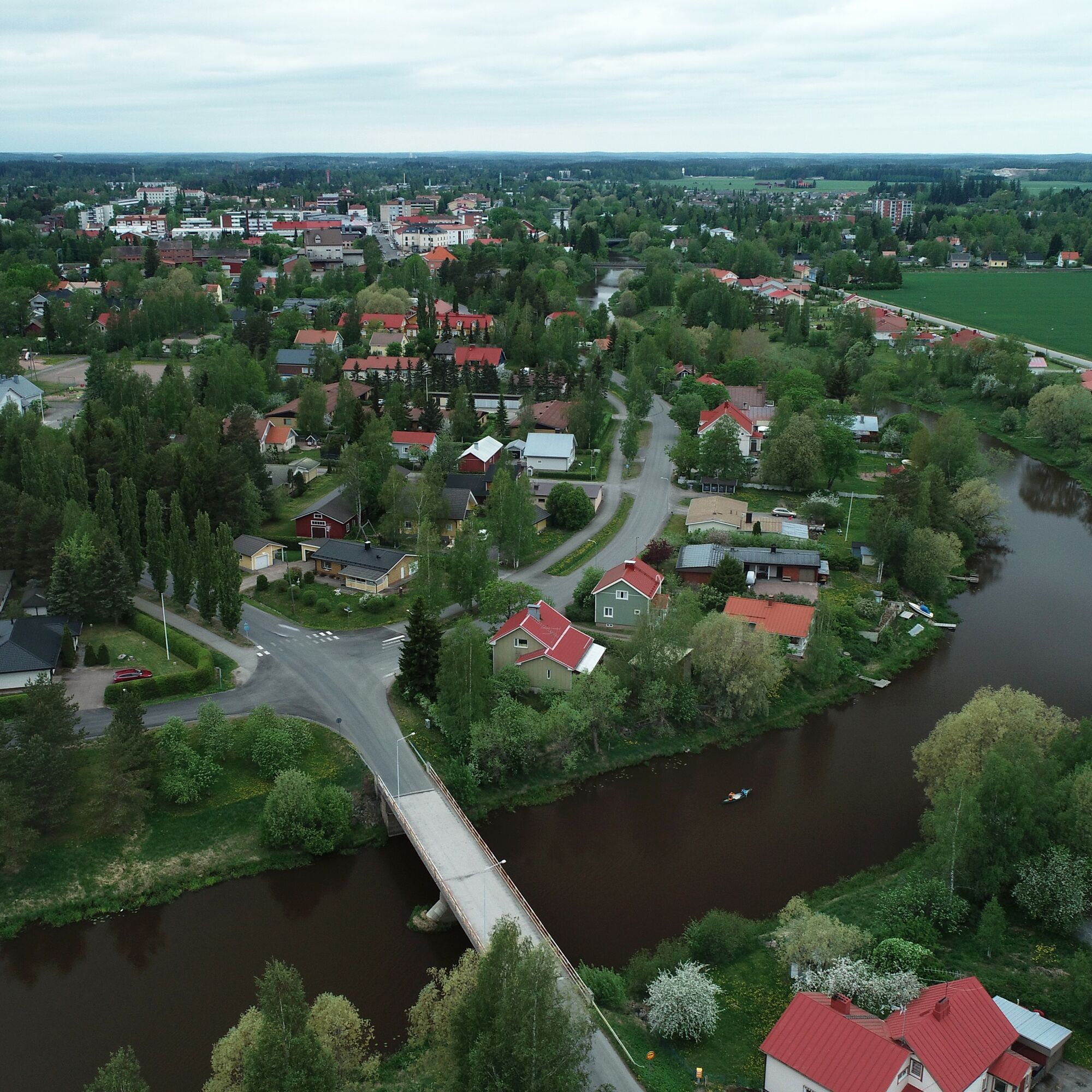

The Loimijoki paddling route is located in Southwest Häme and is about 80 km long. There is an elevation difference of 30 m along the way. The starting point of the route is chosen as Kopinlahti in Liesjärvi National Park, which has a parking lot and a dry toilet. From Kopinlahti, the route first goes to the Korteniemi heritage farm.
The yard area of the former forest ranger's farm in Korteniemi, with its buildings, gardens, and fields, has remained almost unchanged for over a hundred years. The farm maintains a traditional cultural landscape using old methods, and here you can get familiar with the life at a forest ranger's farm in the 1910s. Leaving the farm, you immediately cross Hiiliniemenselkä and Juuriniemenselkä, and in windy weather, it is better to follow the route close to the shore. At the shore of the former Tammela forestry school, there is a good opportunity to take a break and enjoy the offerings of the Wilderness Center Metsäkouluntie.
From the Wilderness Center, the route narrows and after Karjusilta bridge, it continues as the Turpoo River. Right at the start, paddlers must be careful of the narrow bends in Vistinkoski, and after the river basin, the canoe must be carried over a dammed shallow. The Turpoo River cuts through lush forest landscape, and occasionally cabins can be seen on the riverbanks. The current is surprisingly strong, but there are few bottom contacts at least in spring, as the river was once dredged for log driving. Halfway along the Turpoo River route, you reach the old mill dam of Turpoonkoski, where canoes must be carried up. The grill kitchen of Kievarin Kirnu offers travelers a delicious meal as well as a canoe cart that makes it easy to move the vessel a couple of hundred meters downstream under the rapid.
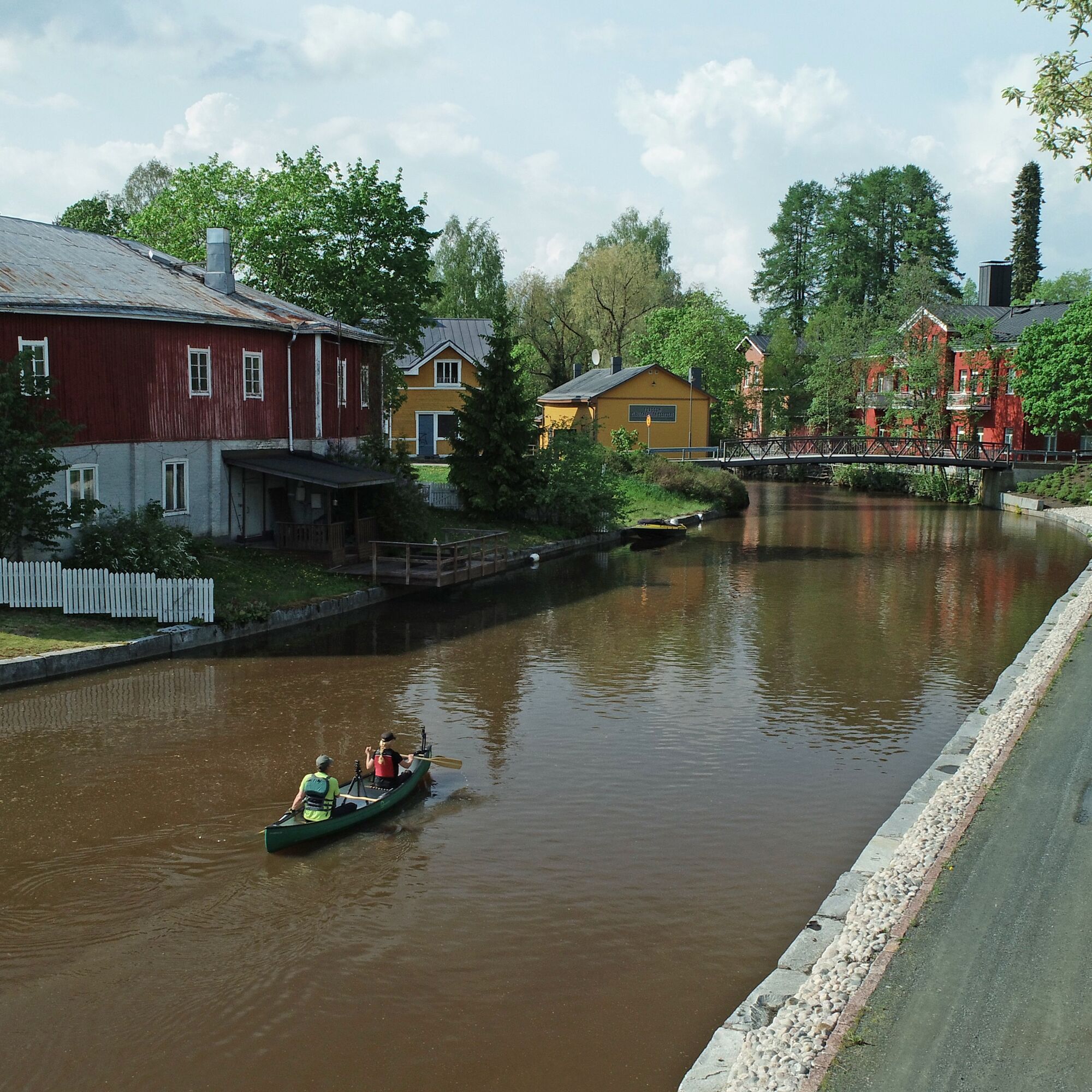
After passing under the Häme Ox Road, the route reaches the village of Porta, which the river cuts through along the old village street. There is an idyllic old tanner's workshop, renovated into a restaurant and museum. The old houses by the river, the smithy, tanner's workshop, and other buildings create a magnificent frame for the quietly flowing Turpoo River. There is a good canoe lifting spot at the tanner's shore, and you can also enjoy refreshments during paddling. Also, the nearby café Härkåpost offers refreshment for paddlers. For a one-day trip this is a suitable ending place, as about 16 km from Korteniemi has already been covered.
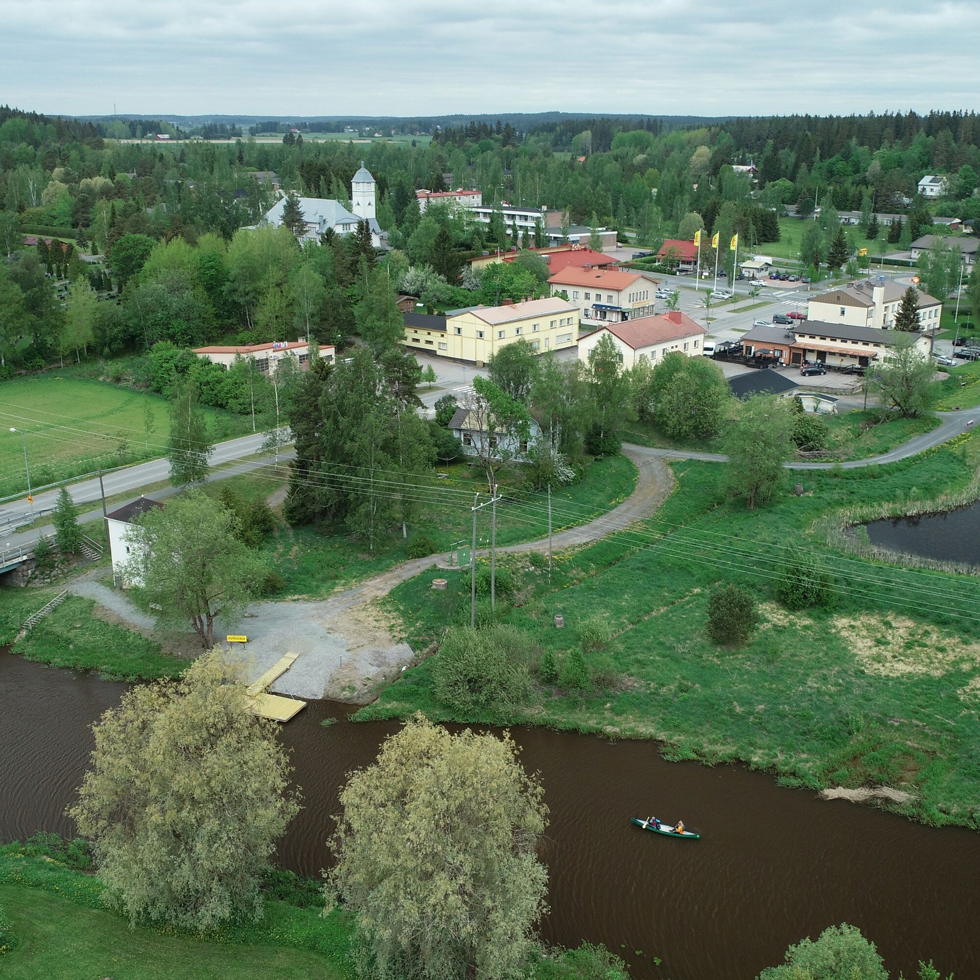
The Turpoo River ends at Lake Kuivajärvi, and after river paddling, the lake's broad open water opens before the paddler. Following the west shore, you arrive at a magnificent sandy beach crowned by the kotamainen-style Raanpää lean-to, a clean toilet, and a campfire site on the beach sand. The route continues following the shores of Saari National Park, and at Lounais-Häme Pirtti you can enjoy tasty coffee and buns. From Kuivajärvi, the journey continues to the stream cut through Kaukolanharju, where the impressive steel-concrete bridge of Saarensalmi divides the water system, and soon you arrive at Tammela Pyhäjärvi. The Venesilta camping area meets you immediately and offers accommodation, sauna opportunities, and delicious grill food. Vohlassaari has a lean-to and campfire site maintained by Tammela municipality, and after half an hour of paddling, services of Tammela parish village are available. The distance from Porta village to Tammela parish village is about 12 km.
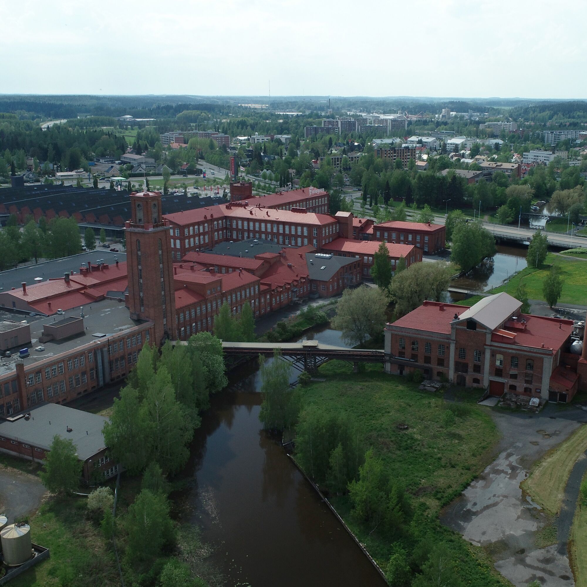
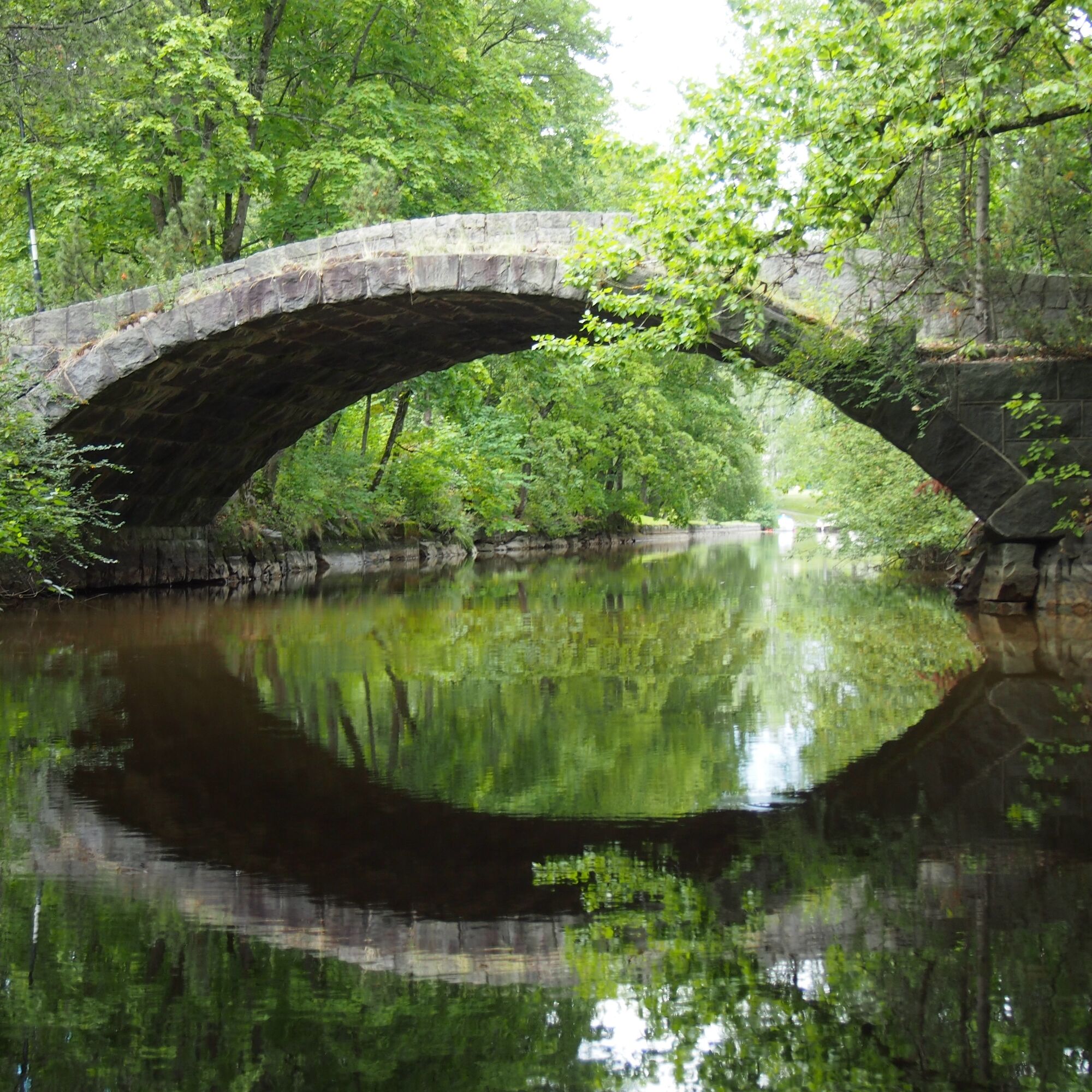
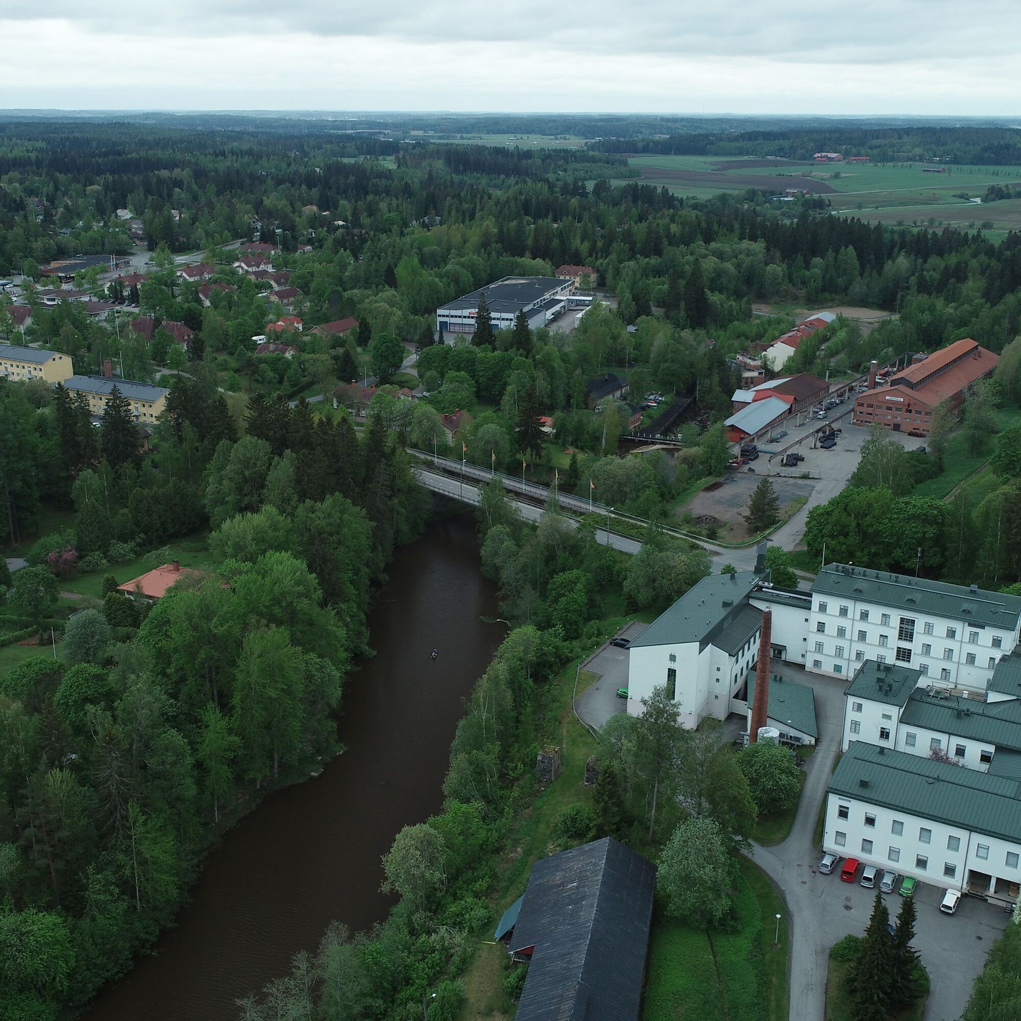
Paddling on Pyhäjärvi is quite challenging in strong wind, and transferring from the parish village to the Loimijoki river mouth must be done by following the shores in strong wind. The Loimijoki itself flows calmly and meanders gently through fields until the old Finlayson factory area opens up. The paddler reaches the middle of the old factory environment, and right after that, the old Forssa spreads along the shores of Loimijoki. The scenery is stunning and atmosphere is created by, among others, the old arch bridge, wooden house area, and red brick buildings of the old spinning mill. The route from Tammela parish village to Forssa is also about ten kilometers.
In Vierämä, the route again becomes a stream flowing through fields, and occasionally the paddler is refreshed by horses and sheep grazing on the banks. When arriving at Jokioinen, the canoe can be pulled ashore right side of the river near the Humppilantie bridge. Before moving the canoe,, it is worth visiting at least the Jokioinen manor environment. The canoe must be moved along the walking path through the manor park past the yarn factory area, and the launching place is under a steep slope below the factory. The distance from Forssa to Jokioinen is about 10 km.
Leaving Jokioinen, the riverbanks are high and trees beautifully frame the scenery. The proximity to Ypäjä is noticed by the horses grazing on the shores, and soon you reach Ypäjä. There are good piers for landing, and here you can refuel food supplies or have a meal in the urban area. Also, Loimijoki Golf serves travelers along the river a few kilometers after the center. The distance from Jokioinen to Ypäjä is about 15 km.
From Ypäjä, Loimijoki continues as a calm stream through the South Finnish rural landscape, and upon reaching Loimaa, the riverbanks are decorated with atmospheric white willows. The route is easy to end at the Satakunnantie 17 boat dock, where there is also a public parking area and Loimaa city center services. The distance between Ypäjä and Loimaa is almost twenty kilometers, making the total route about 80 km.
The Loimijoki paddling route is a multifaceted and interesting whole. The wilderness atmosphere of the headwaters and the narrow stream changes into idyllic villages and buildings telling human history, magnificent sandy beaches, and lake expanses. Loimijoki itself is also an interesting experience, as the urban areas along the route have been built beautifully by the river in places. You can actually choose any part of the route or the whole adventure, two hours or five days, welcome!
Áno
Paddling services:
Erärenki
Wilderness Tales
Ypäjä services
The Loimijoki paddling route is suitable even for beginners, although the lake expanses can be challenging in strong wind. An experienced paddler can paddle the entire route in two days, but if one wants to enjoy the scenery and numerous services, it is advisable to allow up to five days. There are plenty of canoe carrying and launching places, so you can choose your preferred section of the route. The paddling route has short carrying sections at Vistinkoski, Kievarin Kirnu, Kehräämö power plant, and Vierämäkoski. Additionally, passing the Jokioinen yarn factory is about 400 meters.
START AND MAIN POINTS:
Kopinlahti (Kansallispuistontie 203, 31380 Tammela, 60.671556, 23.852475)
Kievarin Kirnu (Hernehuhdantie 332, 31340 Tammela, 60.729310, 23.924735)
Karjusilta (Kanteluksentie 711, 31350 Tammela, 60.7006539, 23.917325)
Porta village (Kappelintie 26, 31340 Porras, 60.754190, 23.915999)
Manttaali shore (Rantatie 2, 31300 Tammela, 60.806341, 23.769945)
Kehräämö hydroelectric power plant (Uittotie, 30100 Forssa, 60.816126, 23.619766)
Yarn Factory (Humppilantie 12, 31600 Jokioinen, 60.806648, 23.482926)
Ypäjä guest boat dock (Perttulantie 26 left to the shore, 32100 Ypäjä, 60.804145, 23.269746)
Loimaa guest boat dock (Satakunnantie 15, 32200 Loimaa, 60.852889, 23.058811)
To the start of the route
Turn from Highway 2 to the National Park Road (sign to Liesjärvi National Park) and continue it for a couple of kilometres (in the middle at a T-junction turn left) to reach the Kopinlahti parking lot. The canoe beach is 100 meters from there near the info board by the shore of Liesjärvi.
To Liesjärvi-Jokioinen paddling section by public transport:
Bus
You can reach Liesjärvi by bus from Helsinki and Forssa. See route guide and schedules on the Matkahuolto website.
From the Kyynärä P and E stops, it is a 1.5 km walk to Kopinlahti shore.
Between Jokioinen-Forssa-Humppila the Jubilee Line operates 15.7.2024-12/2026.
You can find schedules on the Matkahuolto website and on the Humppila municipality Facebook page.
Train
The train stops at Humppila station.
Equipment rental: Erärenki Jouni Palen: https://www.erarenki.fi/
There is a parking lot at Kopinlahti.
Meal services:
Korteniemi heritage farm, Koivu ja Kuusi Wilderness Center, Härkätien Experience Step, Summer Café Kartano, Porta Tanner's Workshop, Southwest Häme Cottage, Venesilta Camping Area, Tammela parish village services, Forssa services, Jokioinen services, Ypäjä services, Loimijoki Golf, Loimaa services
Accommodation services:
Härkätien Experience Step, Porta Tanner's Workshop, Grandma's Cottage in Porta, Venesilta Camping Area, Tammela parish village services, Forssa services, Jokioinen services, Paija Farm Accommodation, Ypäjä services, Loimaa services
More about the route:
The paddling time for the route is 2-5 days and it is easy in terms of difficulty.
Obľúbené výlety v okolí
-
Ruostejärvi - Saari Hämeen Ilvesreitti 14.3 km
ťažkéTuristika 14,3 km -
Torronsuo trail, Tammela
strednáTuristika 9,81 km -
Tammela's Ruostejärvi children's water nature trail
Kajak / Kanu 2,19 km -
Eerikkilä-Piippurinsuo Hämeen Ilvesreitti 9,7km
Turistika 9,72 km -
Tammela - Klubitalo
strednáTuristika 7,38 km -
Tammela - Viewpoimt
svetloTuristika 1,62 km -
Tammela - Portaan Nahkurinverstas - Alastaro
strednáKajak / Kanu 103,2 km
Turistika a stopovanie


Nenechajte si ujsť ponuky a inšpiráciu na ďalšiu dovolenku
Vaša e-mailová adresa bol pridaný do poštového zoznamu.


