





Winter biking route, Hattula

Úroveň náročnosti: S1
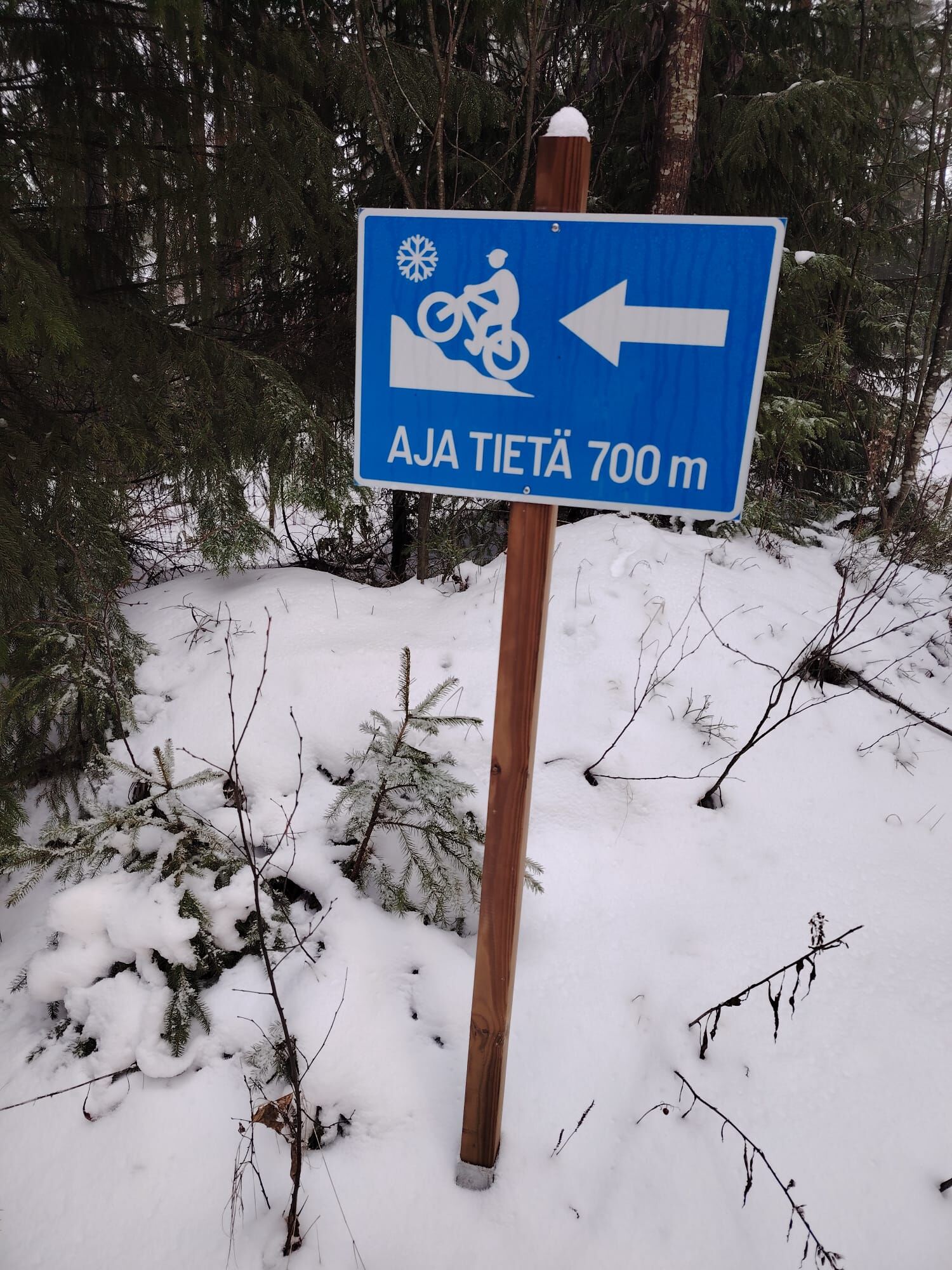
Enjoy mountain biking also in winter! The route is relatively easy to travel, going through heath forest esker paths and partly forest roads. Follow the blue winter mountain biking route signs.
Climb...
Enjoy mountain biking also in winter! The route is relatively easy to travel, going through heath forest esker paths and partly forest roads. Follow the blue winter mountain biking route signs.
Climb up to admire the Tavastian lake view from the ruins of the Tenhola Castle Hill, used already in the Iron Age. From Tenhola, on clear days, you can see the nearby castle hills of Aulanko and Rapola.
The winter biking route is part of the Hattula Tavastia Lynx route. The Tavastia lynx network connects the national parks of Hattula, Hämeenlinna Ahvenisto, Tammela, and the Riutu area of Riihimäki in the beautiful lake highland of Häme with excellent recreation and nature destinations.

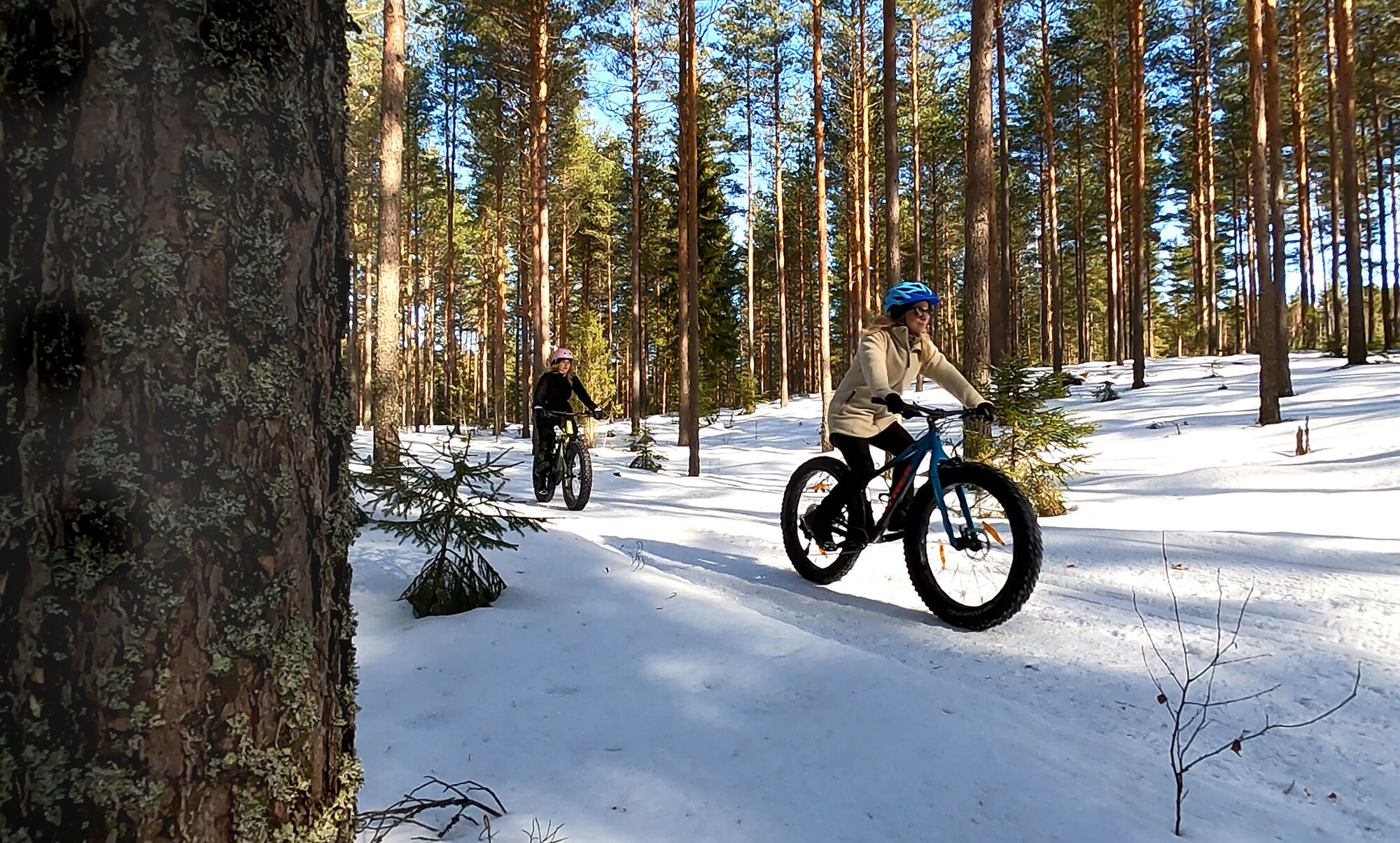
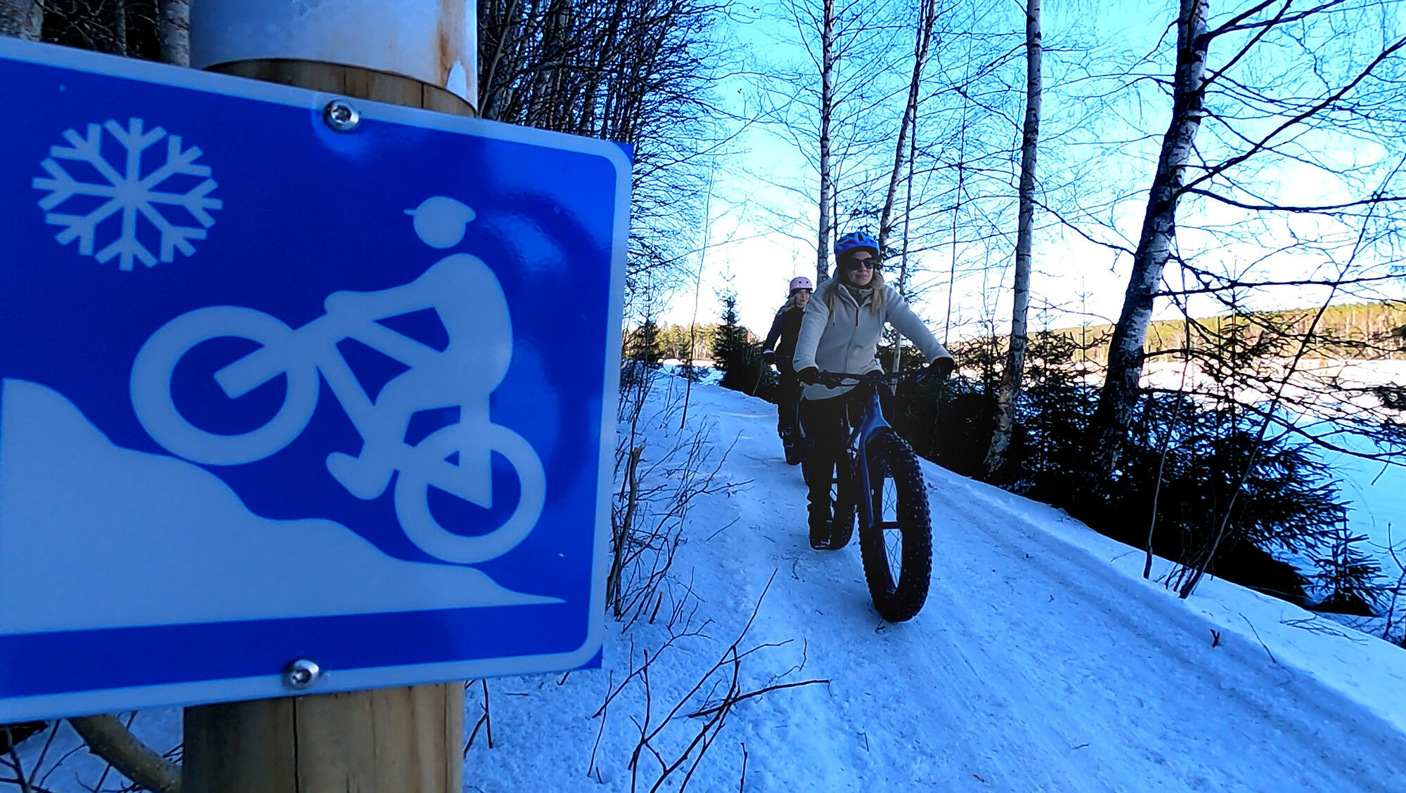
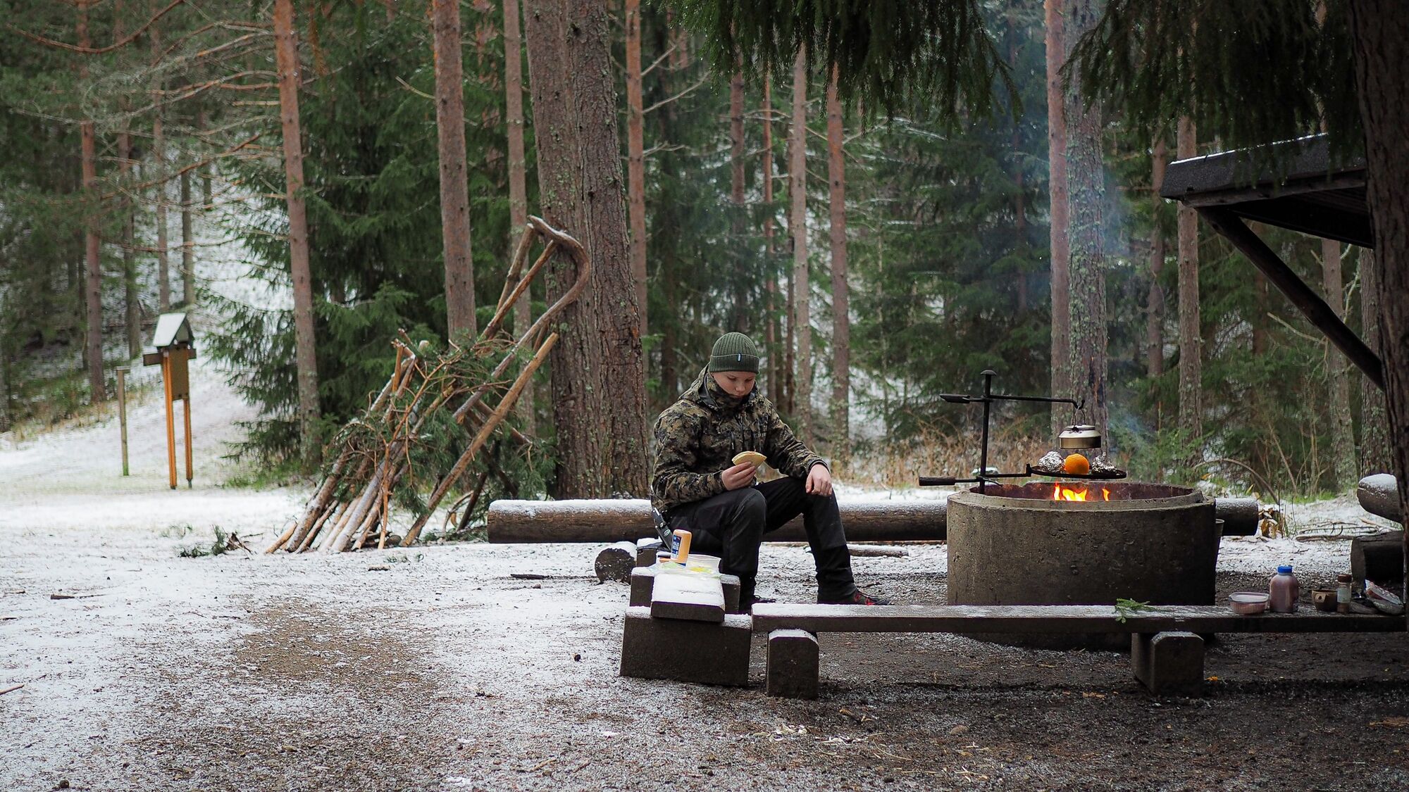
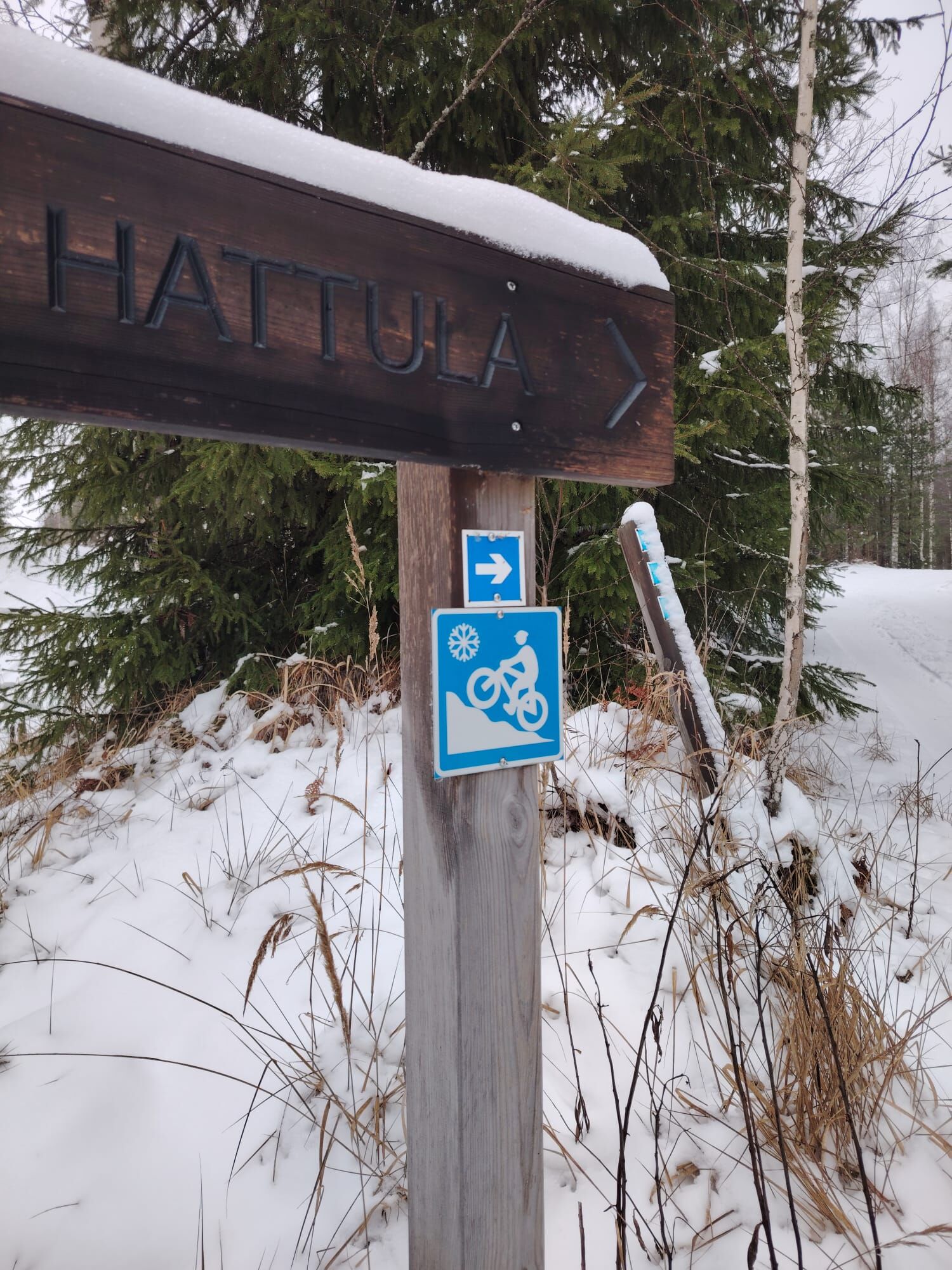

Follow the outdoor route through esker terrain, which sometimes branches into smaller paths. At Tenhola Castle Hill, you can descend to the lean-to shelter or climb the stairs to the castle ruins.
Áno
It's good to have the emergency number 112 app on your phone for accidents.
Consider other users on the routes.
There may sometimes be obstacles on the route due to snow conditions. Adjust your speed according to your riding experience and the conditions.
If you have to walk along the route, use the edge of the route.
Motor vehicles are prohibited.
Address of the route's starting point: Teollisuustie 24, Hattula.
Drive northwest about 2 km from the center of Parola along Merventie. Turn left at Hitsaajantie where you will find the parking spot.
By train:
There is a 2.5 km distance from Parola railway station to the Hitsaajantie starting point along bike paths. Local train to ParolaBy bus:
From the express bus stop Hattula (Parola) it is 2.5 km to the Hitsaajantie starting point via bike paths. Bus timetables can be found on Matkahuolto's website.Parking close to the starting point:
Hitsaajantie 4, Parola. Parking for about 5 cars.
There is an information board at the parking lot. No services.
S1
On wide sections of the route, travel is two-way, so you may sometimes meet oncoming riders.
Near the turning point, the route goes on a multi-use path. Cycling on ski tracks is prohibited.
At the turning point of the route, there is the Tenhola castle hill lean-to shelter and a toilet.
It's worth climbing to the top of the Tenhola castle hill to enjoy the beautiful lake view.
Obľúbené výlety v okolí
-
Lake Aulanko trail 6 km
strednáTematická trasa 5,93 km -
Hämeen Ilvesreitti Hattula 37.7 km
strednáMountainbike 37,7 km -
Aulanko mountain bike route
strednáMountainbike 13,8 km -
Hämeenlinna, Aulanko trail, intermediate
Turistika 5,94 km -
Little Lynx route Hattula
strednáTuristika 2,09 km -
Hiking and trekking route Hämeen Ilvesreitti Hattula
ťažkéTuristika 34,7 km -
Vanamaja outdoor route, Hattula
svetloTuristika 26,8 km -
Jaakon rantapolku vaativa esteetön reitti
svetloTematická trasa 0,68 km -
Vanajavesi water nature trail
Kajak / Kanu 34,5 km -
Lammassaaren virkistysalue
Turistika 0,61 km
Turistika a stopovanie


Nenechajte si ujsť ponuky a inšpiráciu na ďalšiu dovolenku
Vaša e-mailová adresa bol pridaný do poštového zoznamu.





