





Vähäniemi recreational area's outdoor route

The paths in Vähäniemi invite you to walk. Stop at the campfire ring to take a break and enjoy the peace of nature. From the pier and shore you can try your fishing luck or take a dip. Boaters and canoeists...
The paths in Vähäniemi invite you to walk. Stop at the campfire ring to take a break and enjoy the peace of nature. From the pier and shore you can try your fishing luck or take a dip. Boaters and canoeists can dock at the recreational harbor.
The Vähäniemi and Tohko recreational area consists of two peninsulas on the clear-watered Lake Iso-Roine. There are no services in Tohko, and the area can be used under everyman's rights. Vähäniemi can be reached by land and water. At the tip of Vähäniemi there is a pier where you can also come by canoe or boat and tie up your boat.

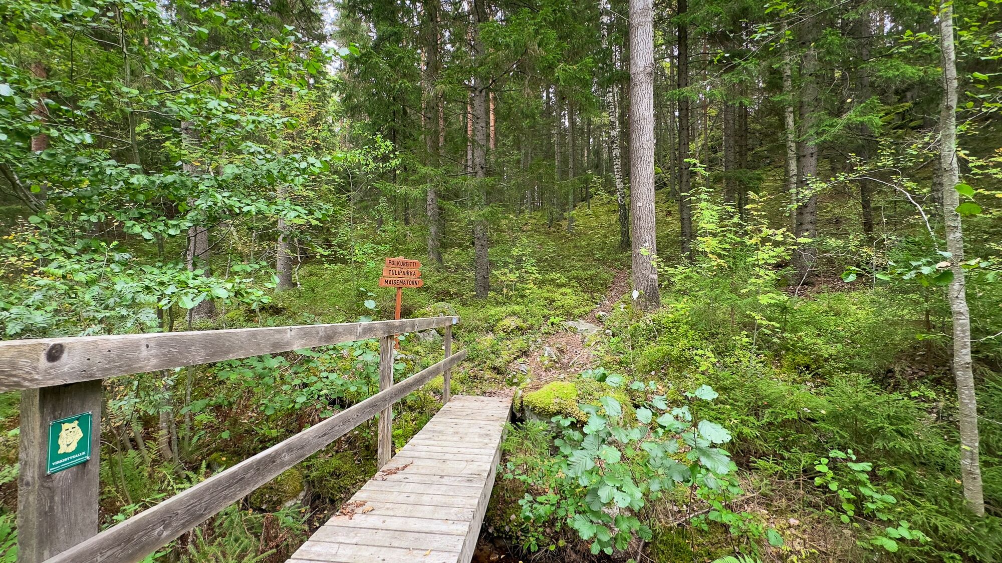
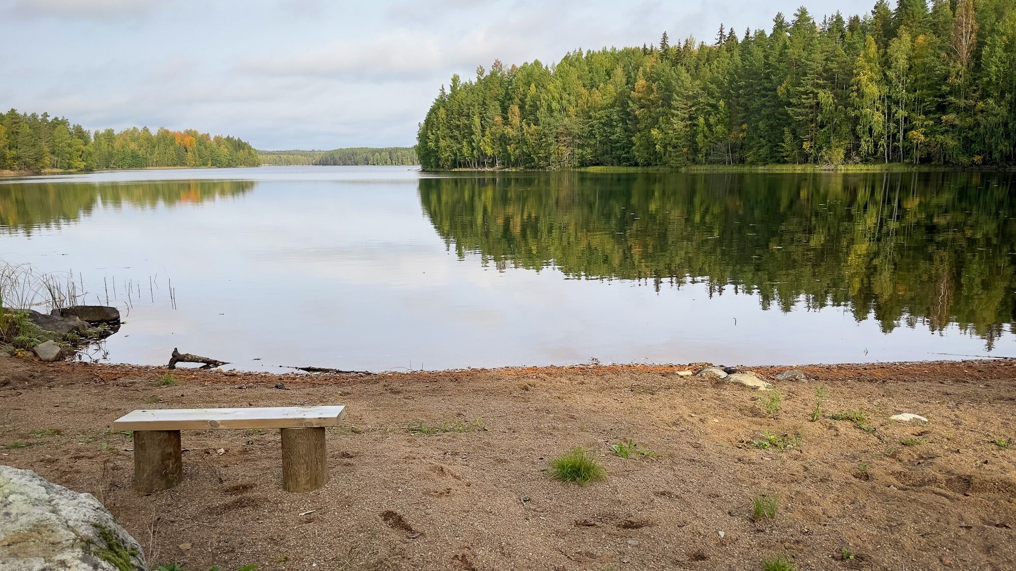

Start the route from the bridge. You can reach the starting point by walking 150 meters north from the parking area along the sandy road.
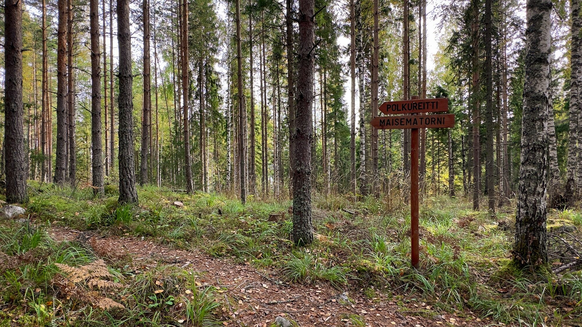
The route is marked on trees with light paint marks.
NOTE! Additional paths have emerged in the area, so follow the route markings carefully.
Áno
In good weather, the route can be walked with any type of footwear. However, it is advisable to prepare with sturdy shoes, as the trail is rocky in places.
Weather-appropriate clothing makes hiking more comfortable.
Bare root humps are slippery. Be careful when walking on paths.
Lighting fires is only allowed in the campfire ring. Use only firewood reserved for the area or dead wood. Growing vegetation must not be damaged.
During forest and grass fire warnings, lighting fires may cause forest fires. Lighting fires is also prohibited at campfire sites during warnings. Check current warnings on the Finnish Meteorological Institute's website: https://www.ilmatieteenlaitos.fi/varoitukset.
Turn from Sappeentie (3223) onto Markkatie and drive 2.9 km. The road changes to Laivarannantie at the Y-intersection. Drive Laivarannantie for 270 meters, after which you will see the parking area on the left side.
Laivarannantie 29-27, Hämeenlinna.
The parking area accommodates about 10 cars.
The campfire ring is located at the end of Vähäniemi.
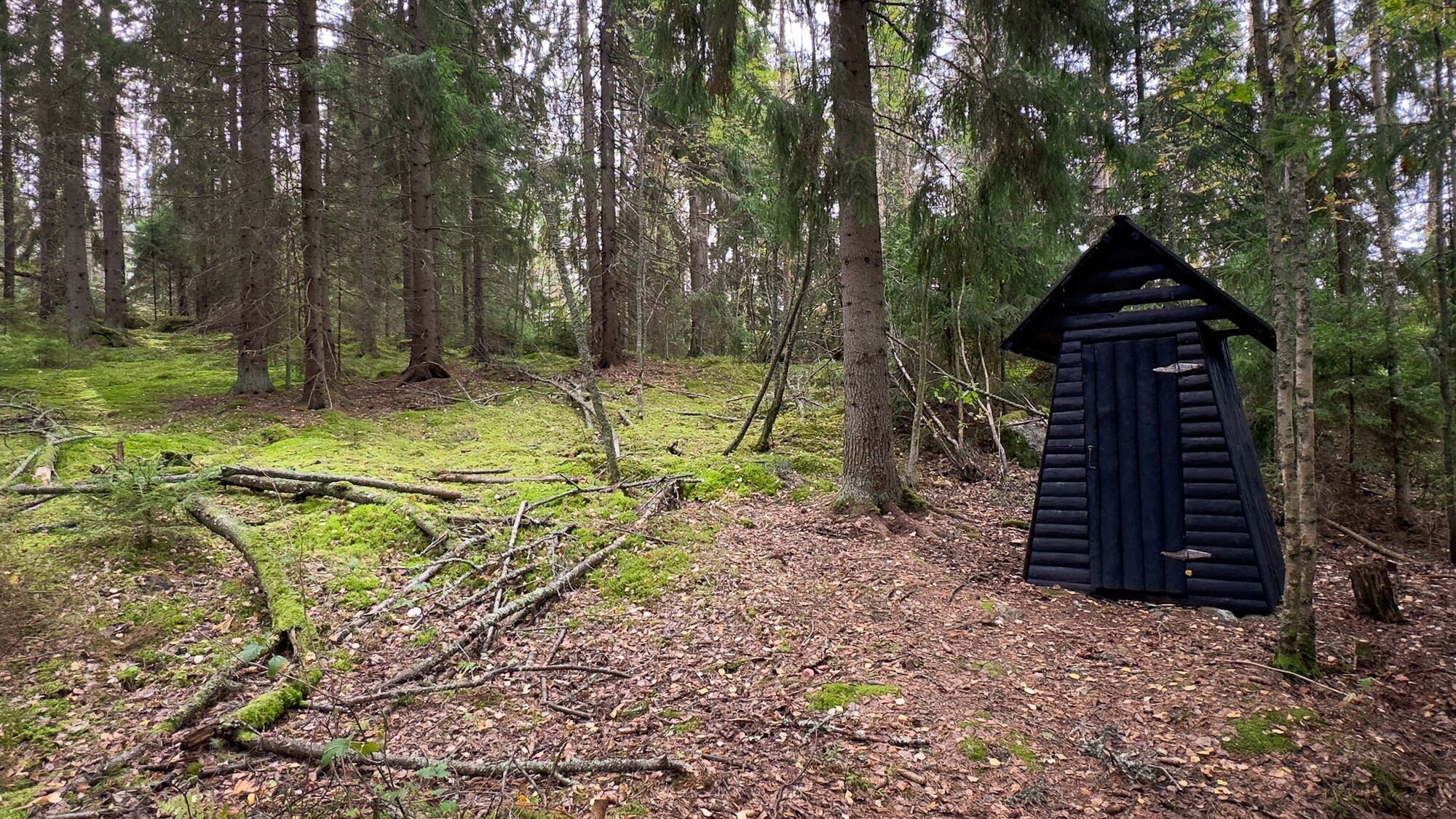
A dry toilet can be found near the campfire ring and the parking area.
The area is maintained in spring and autumn. The person lighting the fire should always take along their own small pieces of wood to ensure the fire can be lit.
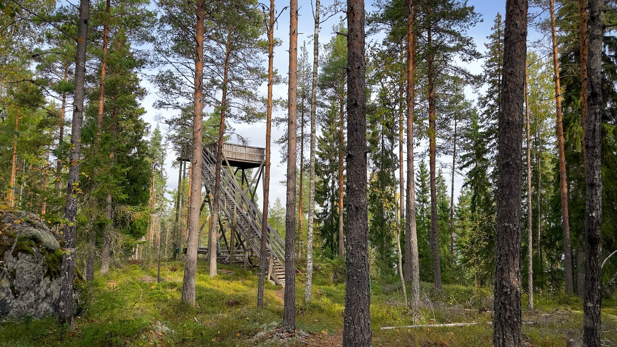
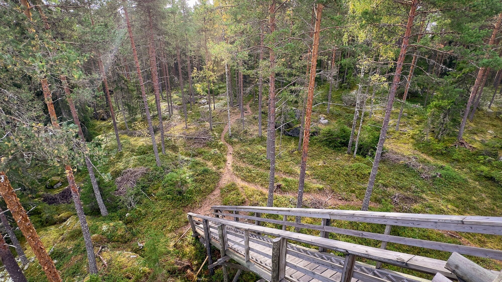
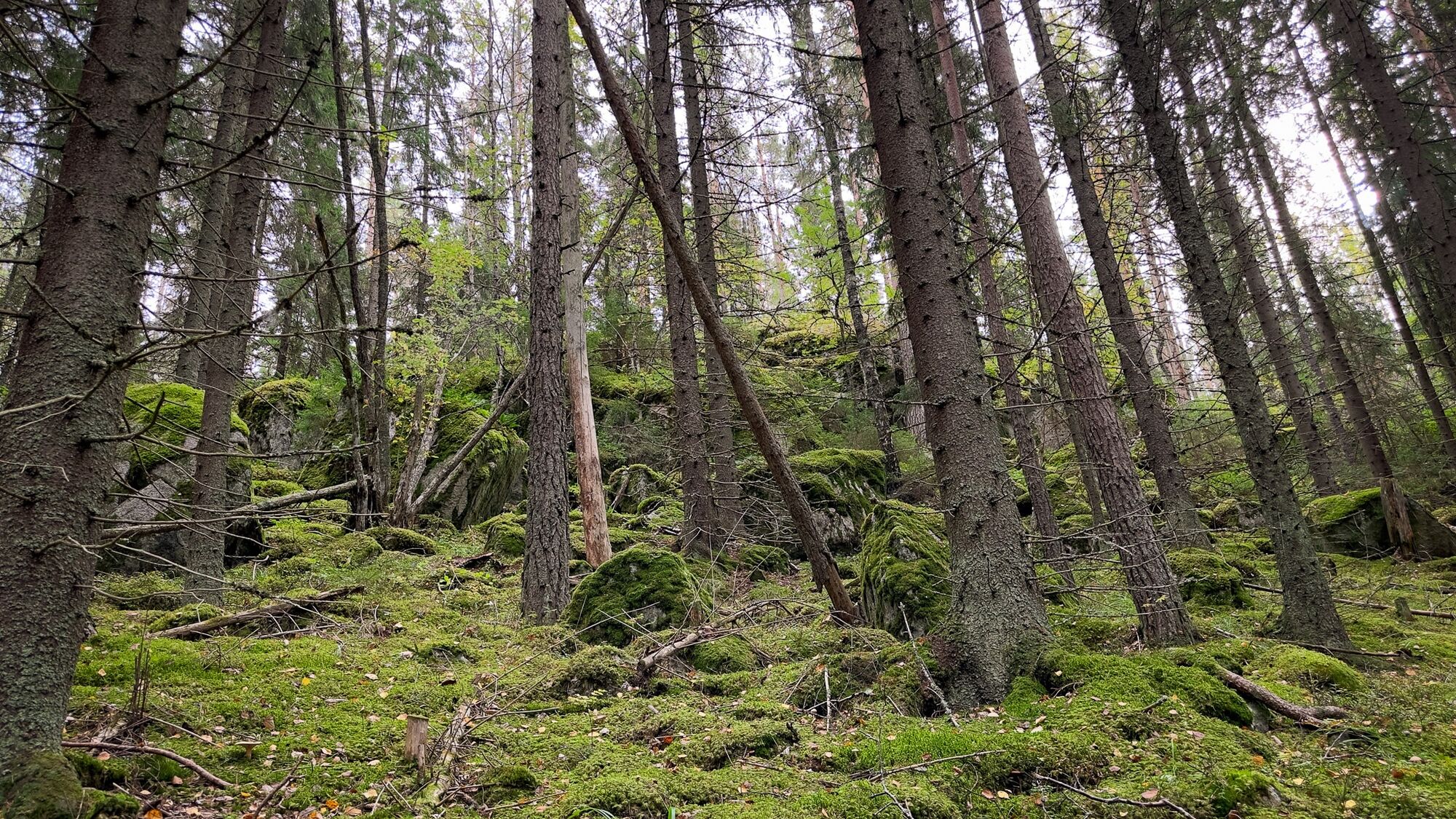
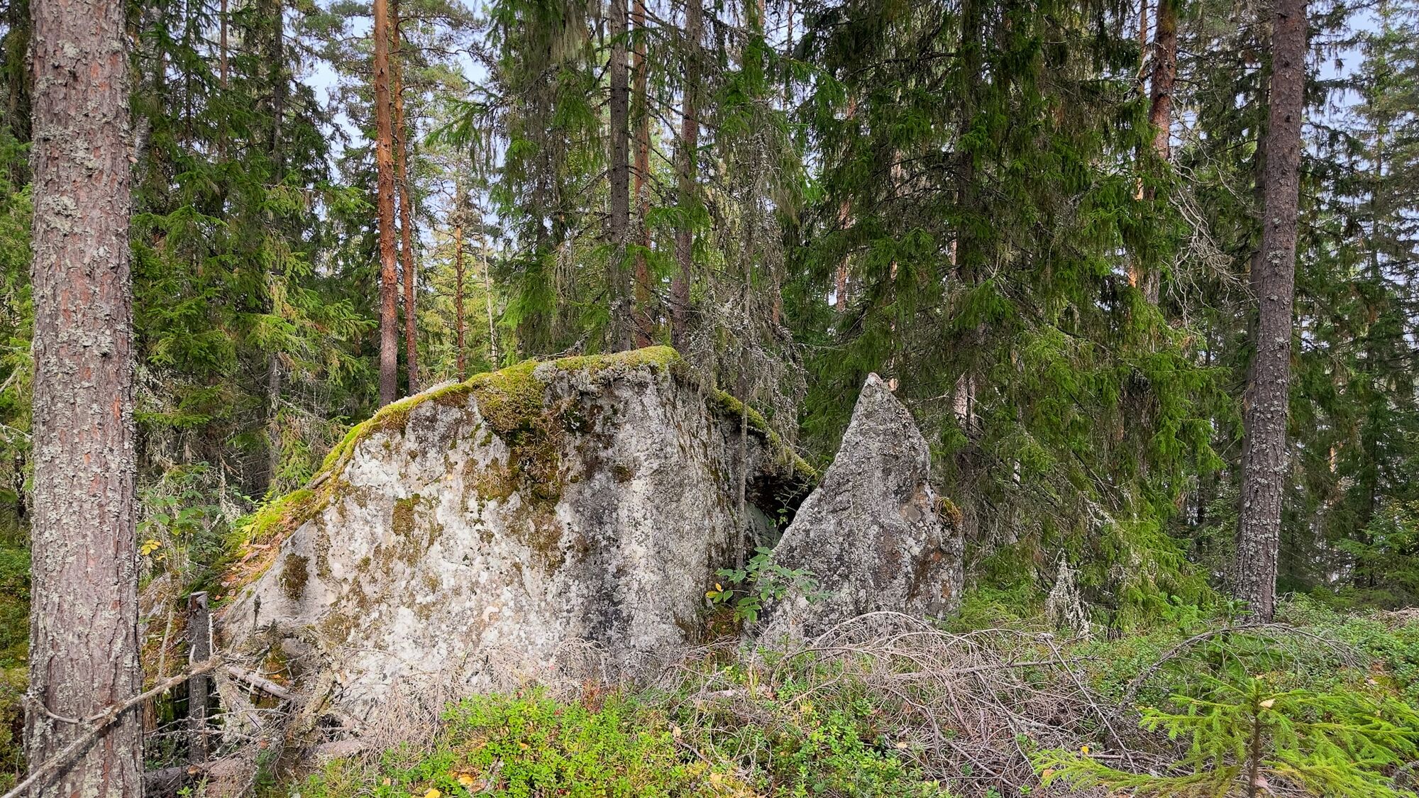
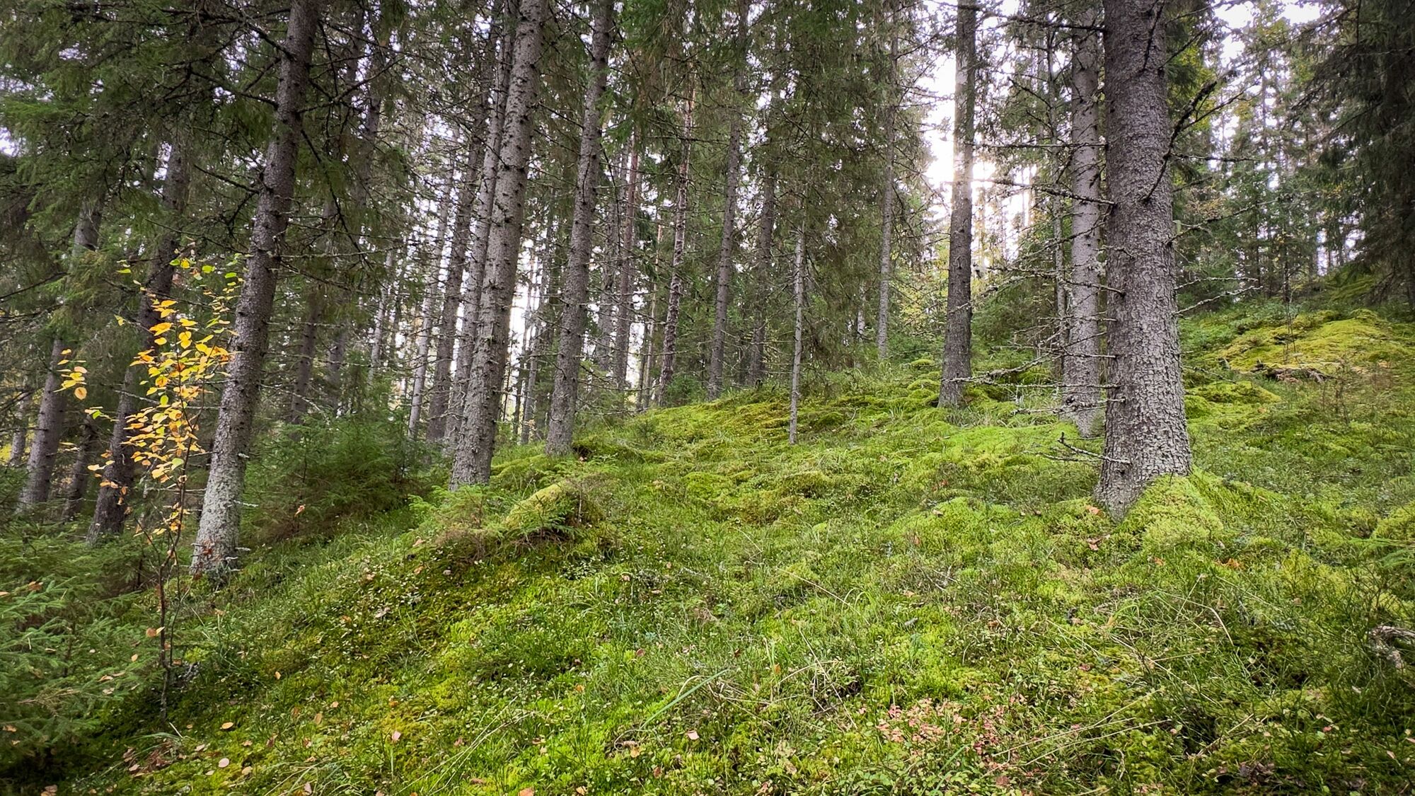
Along the outdoor route, you can admire lichen-covered rocks, diverse forest, and moss-covered rocky terrain.
Enjoy your snacks by the campfire on the lake shore.
In summer, you can try your fishing luck with worm fishing from the end of the pier.
You can choose suitable trails from three circular routes or walk all three. A route map showing all marked paths can be found at the parking area.
Turistika a stopovanie


Nenechajte si ujsť ponuky a inšpiráciu na ďalšiu dovolenku
Vaša e-mailová adresa bol pridaný do poštového zoznamu.





