





Legends' Loop 11.6 km

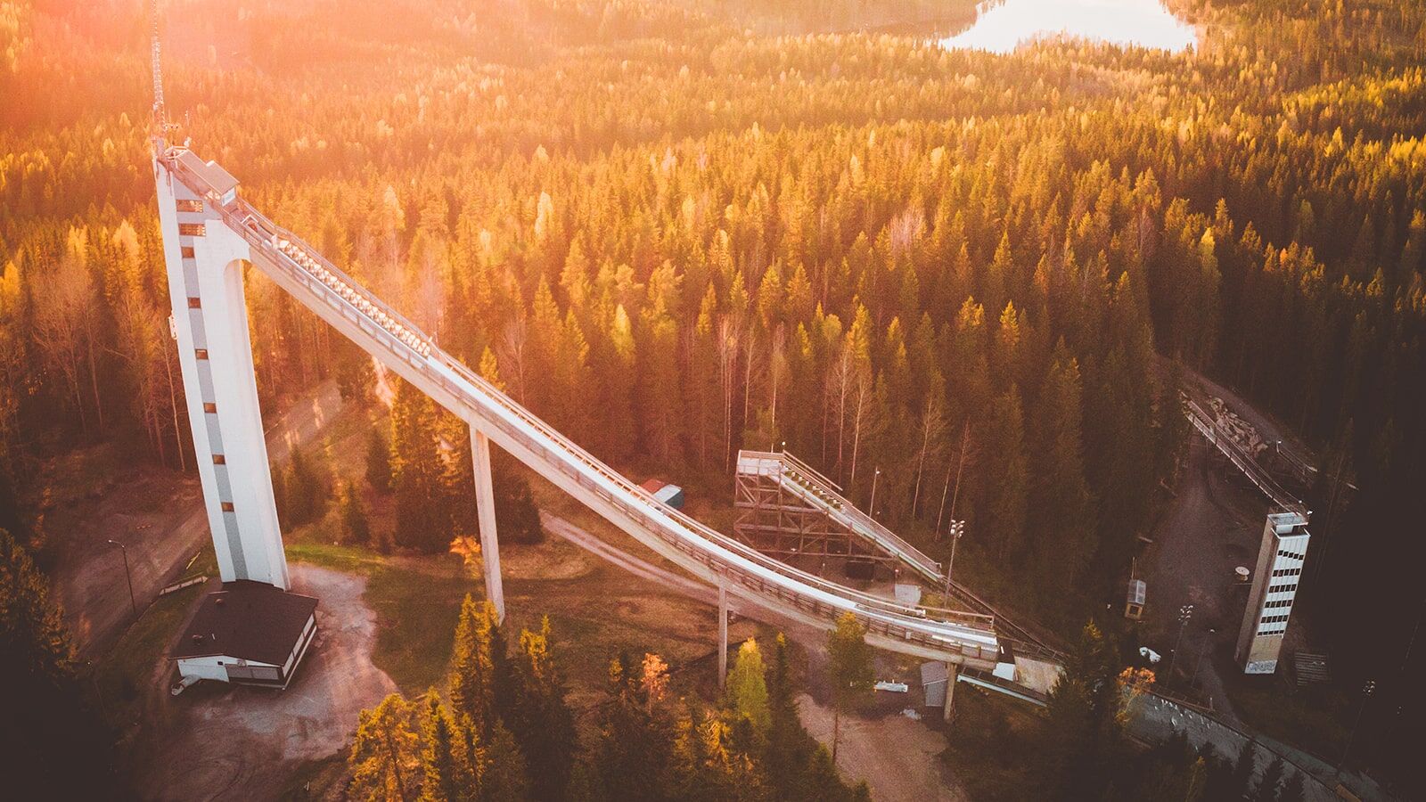
The main starting point of the route is at the Laajavuori ski stadium. The recommended guided direction is clockwise. The direction is shown on the route map. Users of the multi-use trails should take...
The main starting point of the route is at the Laajavuori ski stadium. The recommended guided direction is clockwise. The direction is shown on the route map. Users of the multi-use trails should take other users into account, and faster users should always yield to slower ones. There is one actual resting spot at the Niemelä lean-to on the route. The route features significant elevation changes and steep climbs, making the loop challenging. This should be considered when planning to start the route. However, the route mainly follows well-maintained paths. The walkability of the trail sections has been improved partly by graveling and building boardwalks. There are services from businesses along the route. The loop has a connecting route to the trails of the LadunMaja outdoor area in Taka-Keljo. Please note that the connecting route does not have as detailed route markings or signs in the terrain.
USAGE TIME AND ESTIMATED DURATION:
Route is accessible during snow-free periods By mountain bike 1–2 hours On foot 1.5–4 hoursRULES AND INSTRUCTIONS:
When using the route, observe everyman's rights and consider other users on the trail. Respect the surrounding nature and do not litter. There are no trash bins along the route. Keep dogs on a leash while on the route. Fires are only allowed at the lean-to unless there is a forest fire warning active. Mountain biking follows the Finnish Latu's mountain biking etiquette (www.suomenlatu.fi).
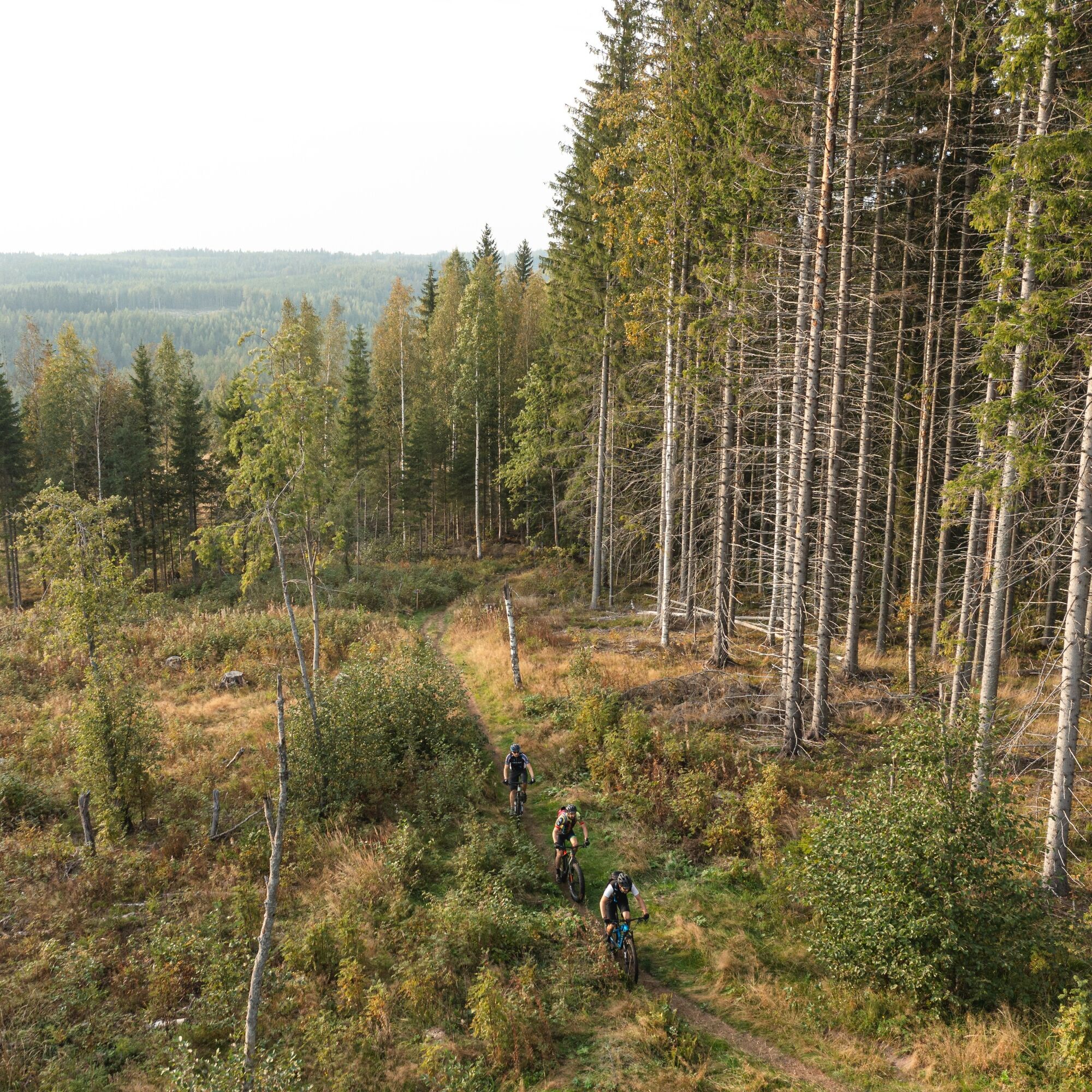
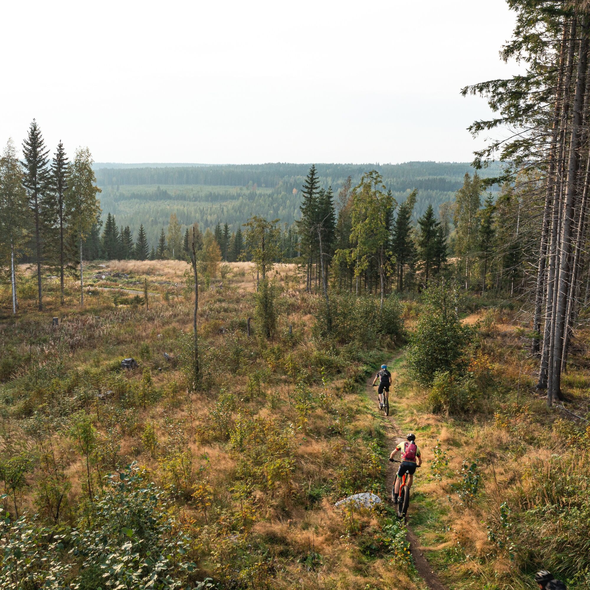
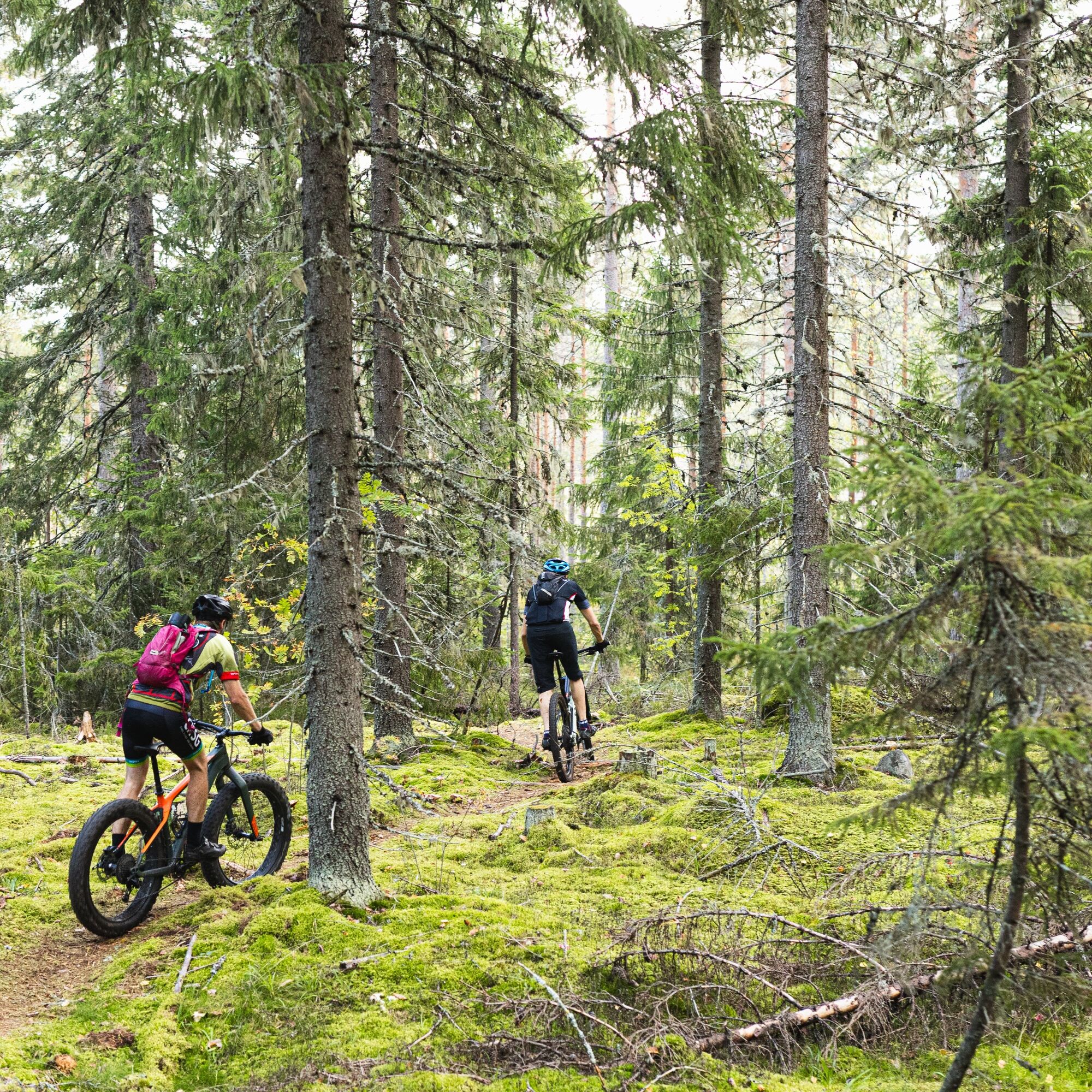

The route is a circular route.
EQUIPMENT:
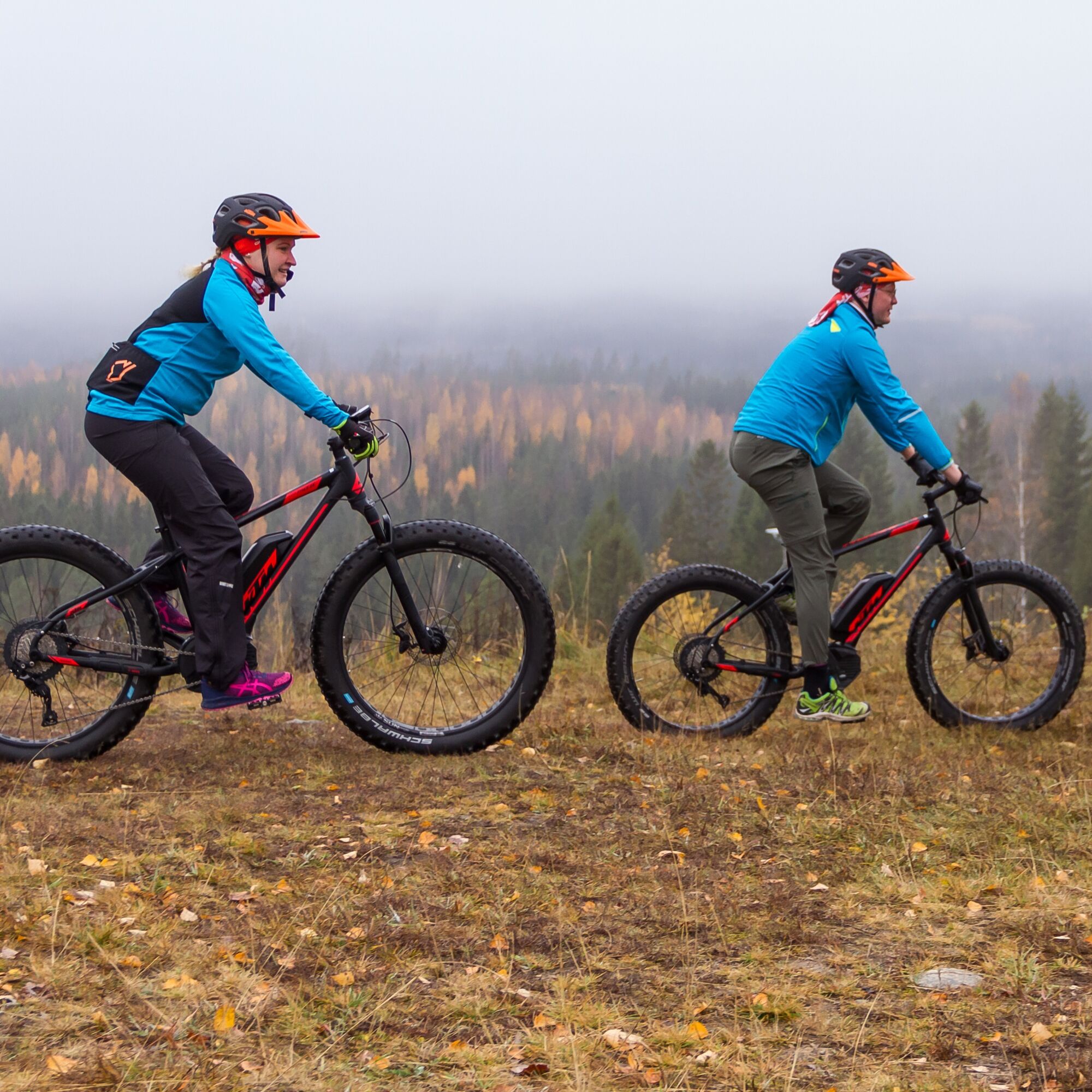
A full or front suspension mountain bike/fat bike and helmet for cycling. Weather-appropriate outdoor clothing and shoes suitable for the activity and terrain. Route map, first aid kit, phone, snacks, and headlamp for dusk.SAFETY:
In emergencies, call 112, coverage is good in the area. There are location boards along the route for emergencies. We recommend downloading the 112 app on your phone. Allow sufficient time to complete the route.SIGNAGE AND ROUTE MARKINGS:
Orange paint marks and signs along the route. Main information board and location maps along the route.ROUTE MAINTAINER AND ADDITIONAL INFORMATION:
City of Jyväskylä, sports services Phone 014 569 4257, liikunta.info@jyvaskyla.fi www.jyvaskyla.fi/liikuntaAccess is possible by following the cycling signs or by Jyväskylä local traffic Linkki bus (route guide https://jyvaskyla.digitransit.fi)
The parking area at Laajavuori ski stadium has plenty of free parking spaces (Hikipolku, 40740 Jyväskylä).
Obľúbené výlety v okolí
-
Kanavuori Nature Trail, Jyväskylä
strednáTuristika 2,88 km -
Kulonpalonmäki route 15.6 km
strednáMountainbike 14,7 km -
Architectural Cycle tour to Alvar Aalto
Cyklistika 8,93 km -
Varpupolku 6,7 km
Mountainbike 7,18 km -
Lutakko - Jyväskylä - River Jyväskylä - Jyväskylän helluntaiseurakunta
Motorrad 43,2 km -
Länkipohja - Jämsä - Korpilahti - Konnevesi
Motorrad 145,1 km -
Lutakko - Ainolanranta - Ainola - Jyväskylä
svetloTuristika 6,87 km -
Halssila - Aittovuori - Jyväskylä
svetloTuristika 3,60 km -
Janakka - Kaunisharju
svetloTuristika 6,03 km -
Kortepohja - Laajavuori - Jyväskylä - Laajis Ravintola ja Burger
svetloTuristika 5,31 km
Turistika a stopovanie


Nenechajte si ujsť ponuky a inšpiráciu na ďalšiu dovolenku
Vaša e-mailová adresa bol pridaný do poštového zoznamu.





