





Kirveslampi route, Leivonmäki National Park

The Kirveslampi route is a 1.7-kilometer circular trail that delights with its diverse nature. The bog, forest, and water-including route marked with blue trail markers suits both children and older visitors,...
The Kirveslampi route is a 1.7-kilometer circular trail that delights with its diverse nature. The bog, forest, and water-including route marked with blue trail markers suits both children and older visitors, as the terrain is easy to walk and the trail is mostly boardwalked. The views from the nature observation tower located halfway through the route crown the experience.
Attractions on the Route
Fire scars Cranberries and lichens Nature observation tower Bog flower meadowGood to Know
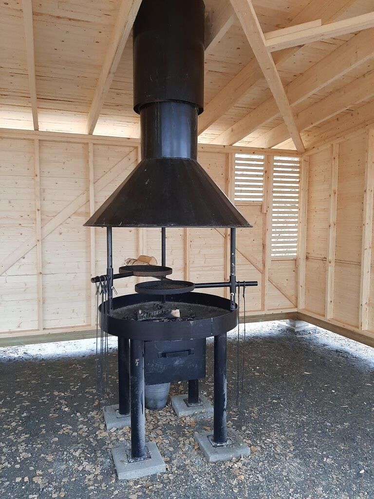
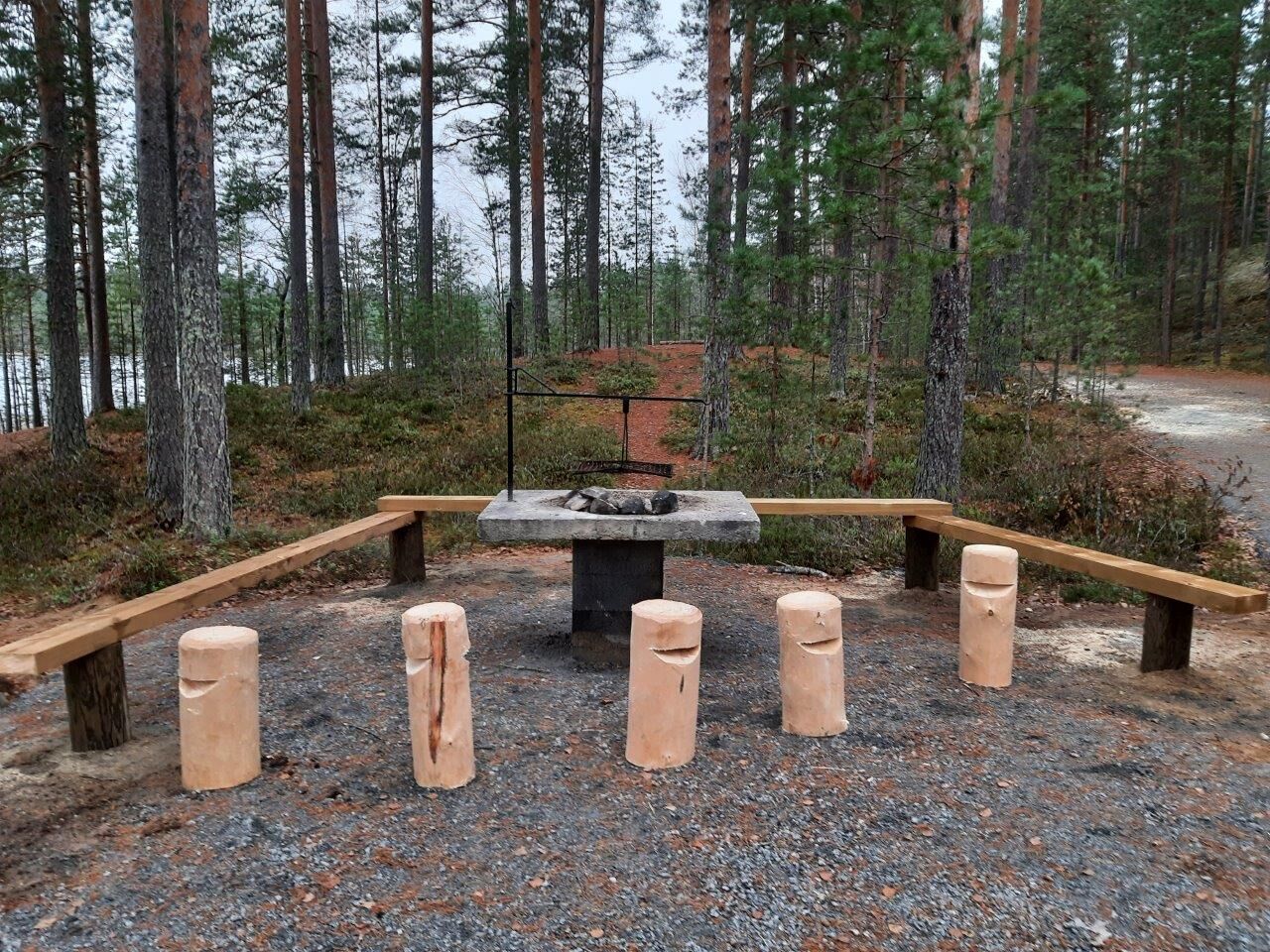
The Kirveslampi route does not have a fireplace or toilet. It is recommended to combine the trip with the Luupää loop, where there is an accessible cooking shelter, accessible fireplace, and dry toilet by Harjujärvi.
The route description has been produced as part of the #Central Finland hiking trails on the world map project, funded by the Central Finland ELY Centre from the Rural Development Agricultural Fund.

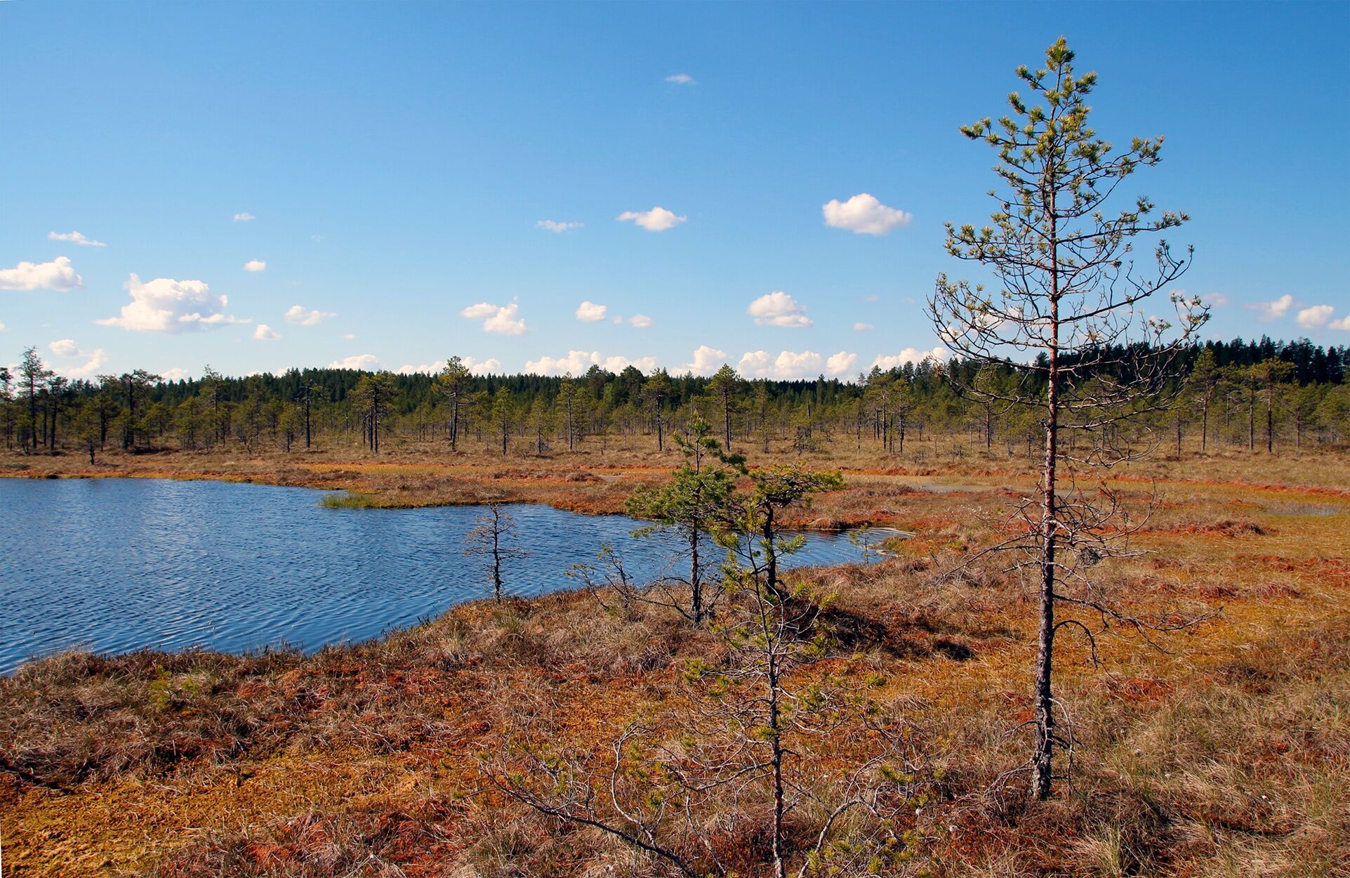
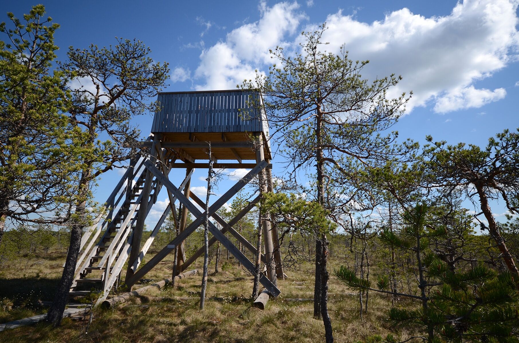
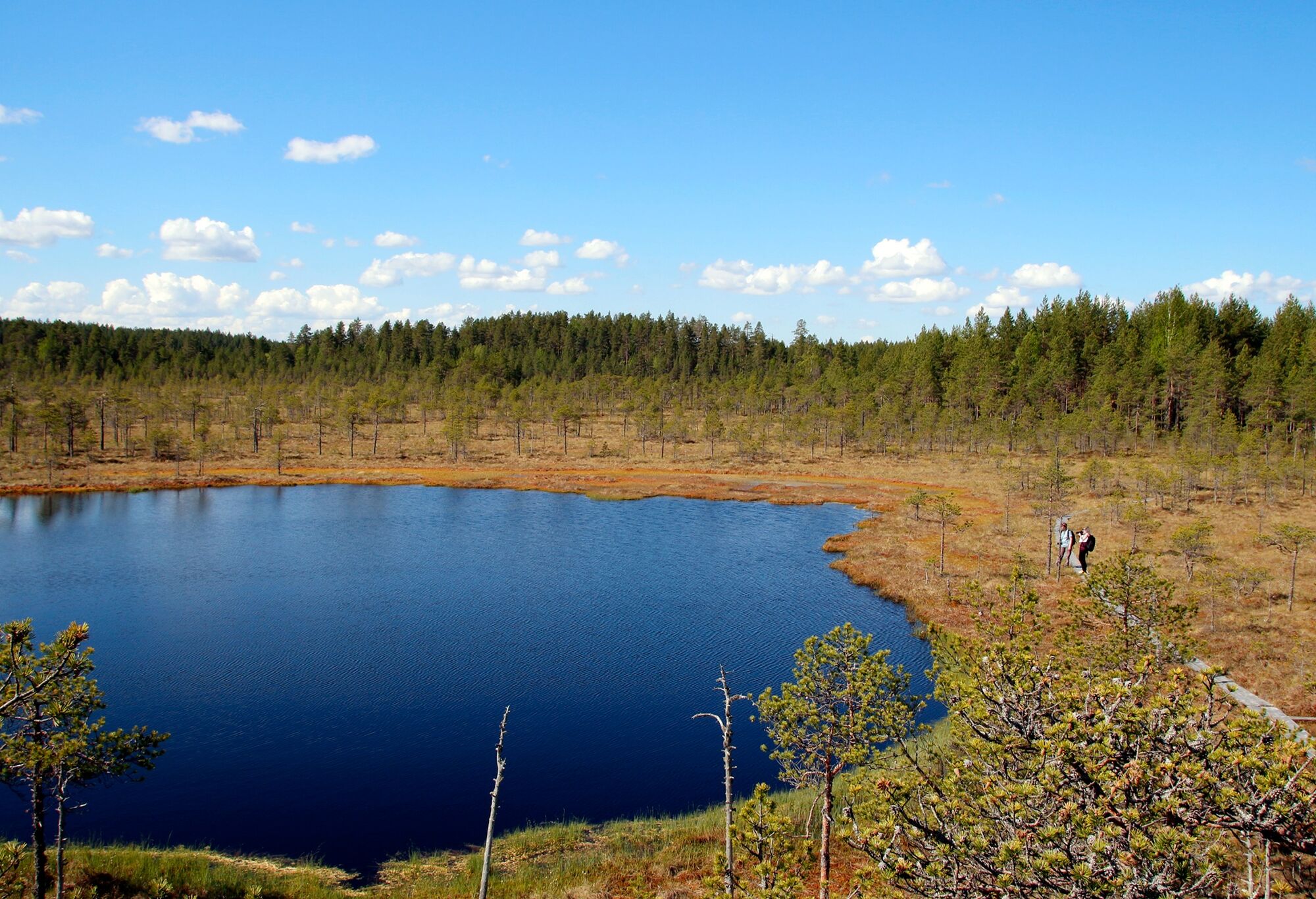
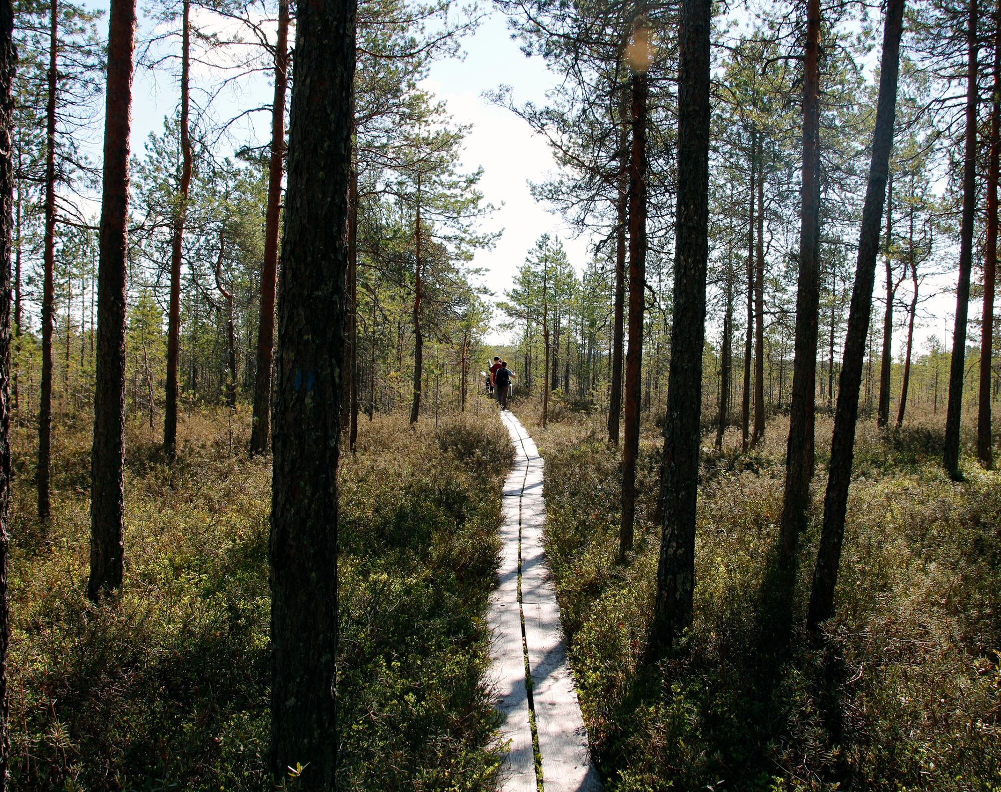

When leaving the Kirveslampi parking area for the trail, you immediately enter a pine forest following blue trail markers. At the beginning of the forest trail there are gentle hills, but otherwise the terrain is easy to walk. Along the way, you can see fire scars, which are marks left by forest fires at the base of pines.
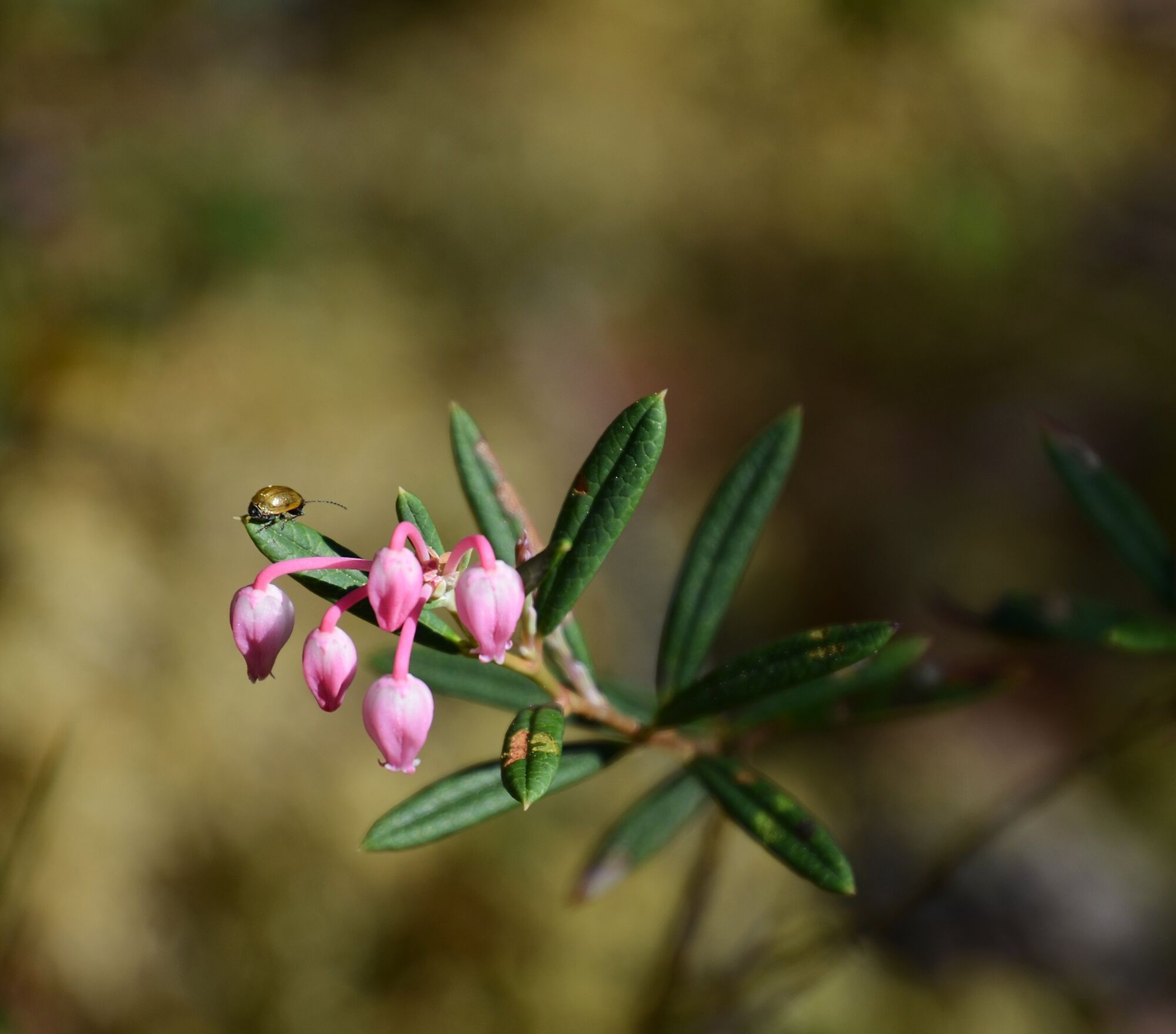
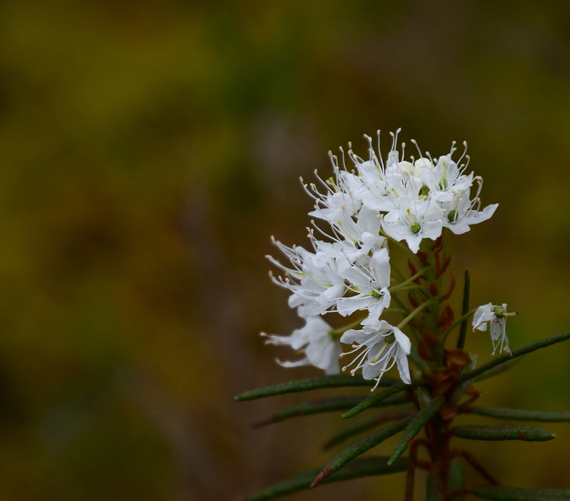
After the beginning, the pine forest changes into a bog and the trails become boardwalks. In the bog terrain, it is worth especially examining the vegetation, as among the variously colored sphagnum mosses live, among others, cranberries and lichens. The most visible fauna includes various bog butterflies and dragonflies. Eventually, you reach the shore of the pond and a magnificent observation tower from which there are wonderful bog and forest views. After the observation tower, visitors will also be enchanted by the pink glowing bog flowers if arriving during the plant's peak blooming period.
Áno
The trail is suitable for running shoes and weather-appropriate outdoor clothing. In winter, it is advisable to use snowshoes when starting the trail.
Making Fires
Making fires is only allowed at designated places. During forest fire warnings or grass fire danger, fires are only permitted in the fireplace with a chimney at the Harjujärvi cooking shelter. Check current warnings.
Route Classification
The route is easy in difficulty. The forest paths are clear and the bog sections are boardwalked (boardwalks can be slippery when wet). There are hardly any elevation changes, so the route is also suitable for children. The route is recommended to be walked during frost-free conditions.
Signage
At the start point at Kirveslampi parking area, there is a map and signs for the trail. The route is marked in the terrain with blue paint marks and the recommended direction is counterclockwise.
When coming from the south on Highway 4 (Lahti-Jyväskylä), turn left onto Harjunlahdentie (sign: Kivisuo). Drive straight on Harjunlahdentie for 6.5 kilometers, then turn left onto Vartiamäentie. Drive 1.7 kilometers, after which the Kirveslampi parking area will be on the left side of Vartiamäentie.
The nearest regular long-distance bus stop is located in Leivonmäki about 12 kilometers from the national park. Bus timetables can be found on the Matkahuolto website.
Kirveslampi parking area (Vartiamäentie, Joutsa).
Coordinates:
Euref-Fin (~ WGS84) lat: 61° 53.3592' lon: 26° 1.0189'
ETRS-TM35FIN: N: 6862241 E: 448326
ETRS89 geographic (~WGS84) lat: 61.889352180° lon: 26.016963695°
Leivonmäki National Park brochure (pdf)
Forest administration pages luontoon.fi
After returning to the Kirveslampi parking area, it is recommended to continue the trip to the Luupää loop and enjoy a snack at the beautiful Harjujärvi shore at a half-cabin.
Obľúbené výlety v okolí
Turistika a stopovanie


Nenechajte si ujsť ponuky a inšpiráciu na ďalšiu dovolenku
Vaša e-mailová adresa bol pridaný do poštového zoznamu.





