



MTB FFC 10: Maltiola

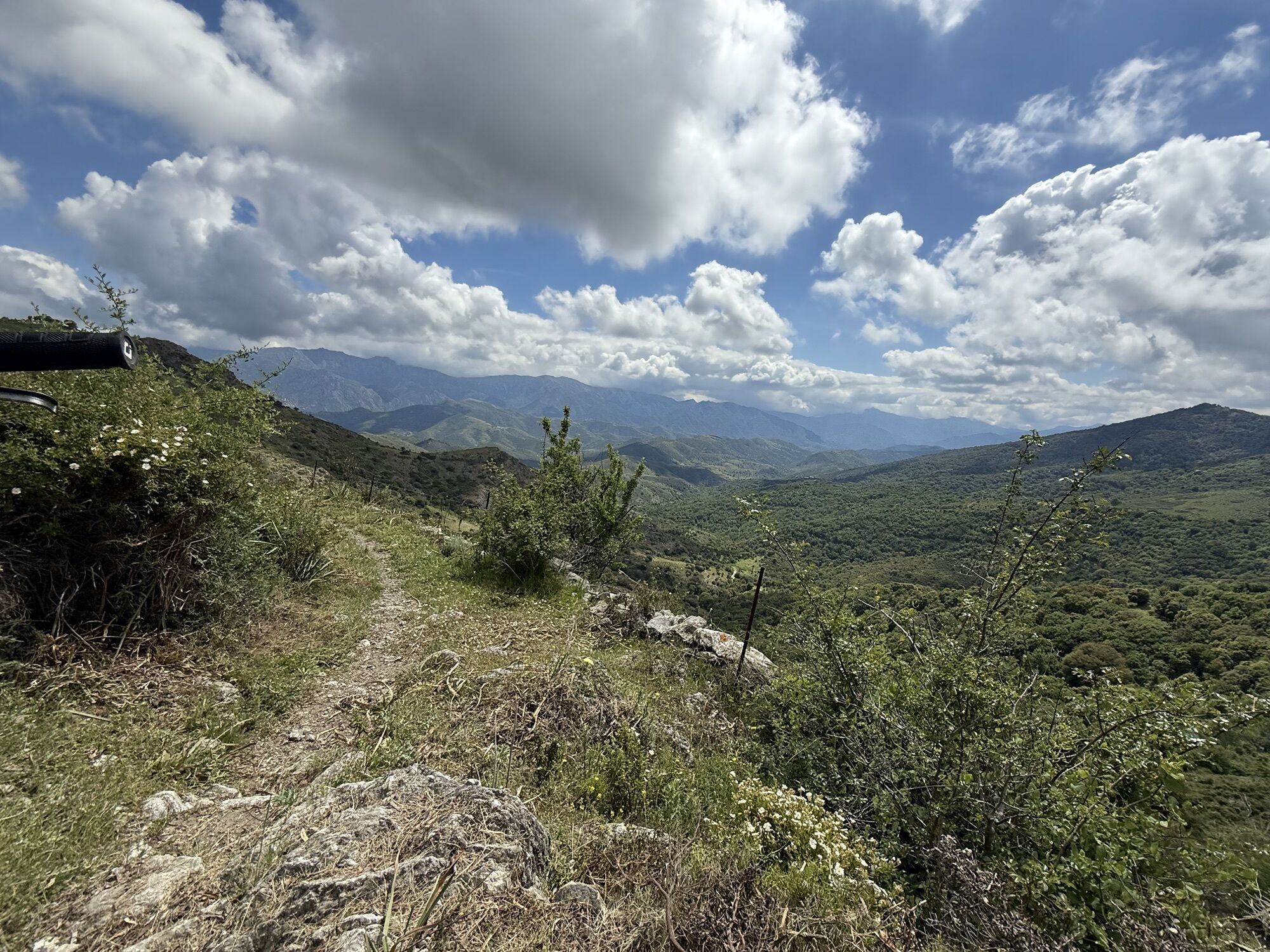
Warning : shortly before the Col San Colombano, a padlocked gate blocks the passage of the herds. Portage will be required to overcome this obstacle. Work is scheduled to resolve this problem.

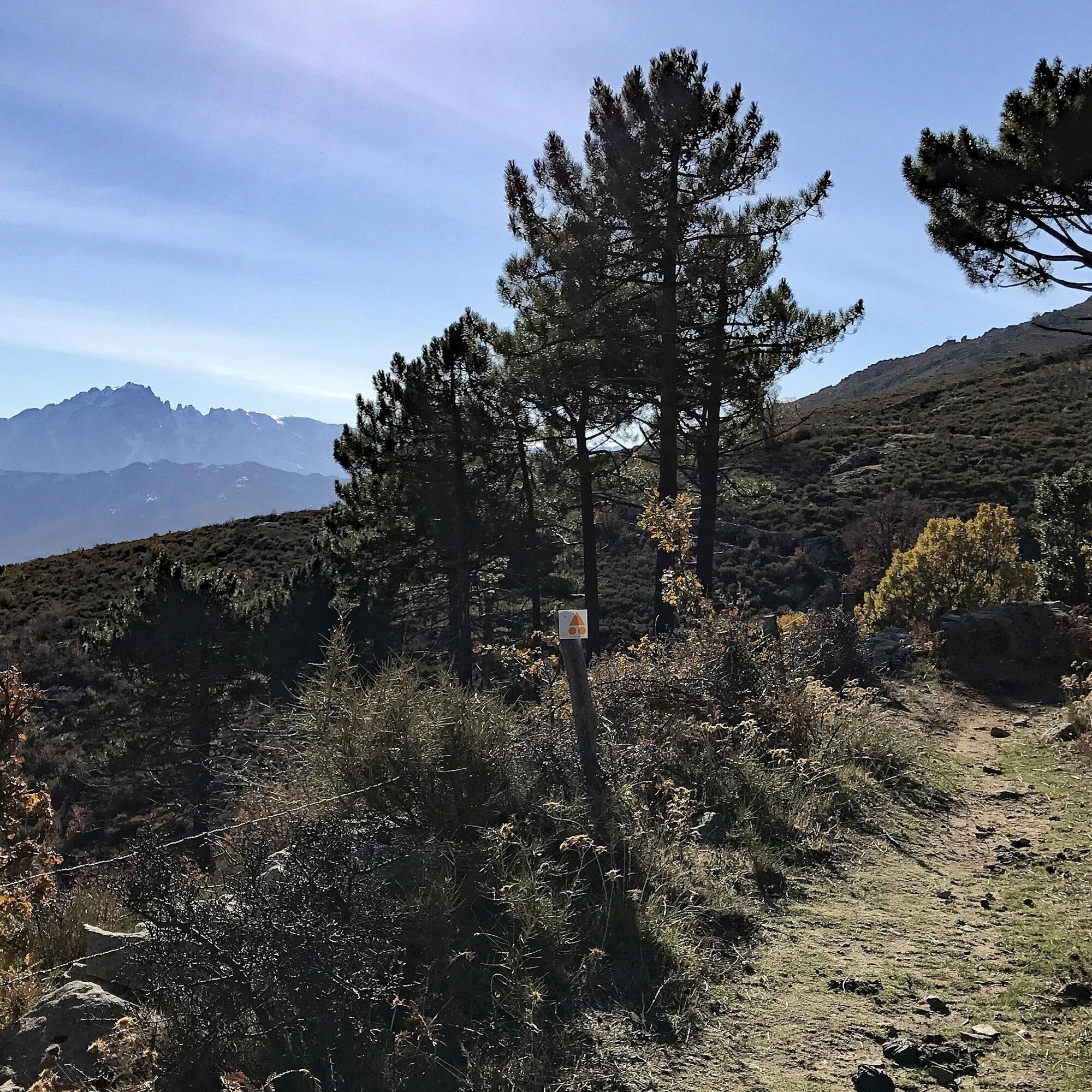
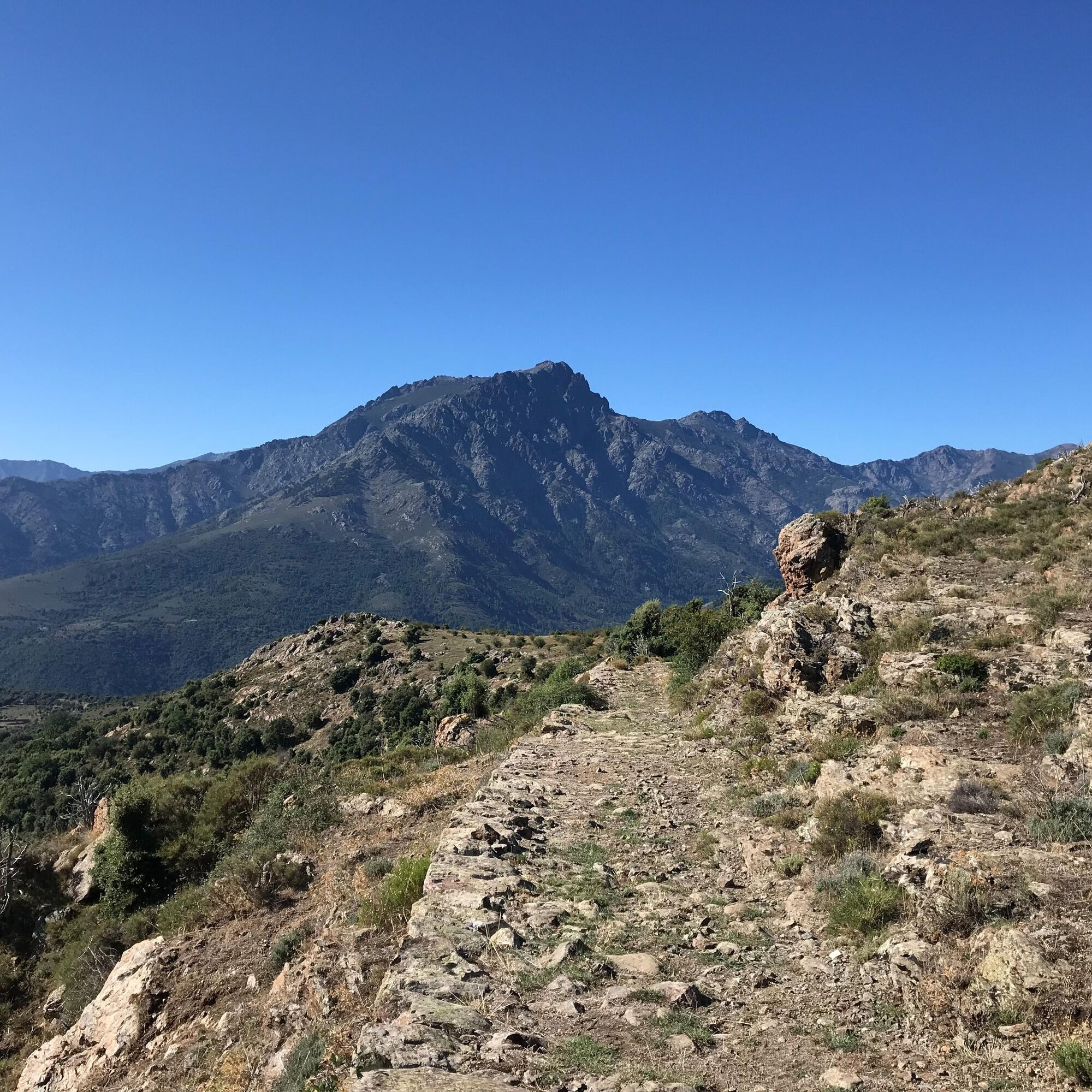

Mountain biking as you like! but…
Use the marked trails for your safety and respect the direction of the routes Do not overestimate your abilities and keep control of your speed Be careful and courteous when passing or crossing hikers as pedestrians have priority Check the condition of your MTB and plan for supplies and repair accessories If you go alone, leave your route with someone you trust Wearing a helmet is strongly recommended Respect private properties and cultivated areas Beware of agricultural and forestry machinery Close the gates Avoid picking wild flowers, fruits, and mushrooms Do not disturb the peace of wild animals Take your trash with you, be discreet and respectful of the environmentEmergency number: 112
Parking close to the starting point
The mountain-bike code:
For your own safety, use only the signposted paths and follow them in the direction indicated.
Control your speed
Give way to pedestrians
Check that your mountain bike is in good working order and take a repair kit with you, as well as food and drink
If you're alone, let somebody know your planned route before you leave
It is strongly recommended to wear a helmet
Do not trespass onto private property or agricultural land
Beware of farm and forest machinery
Close gates and barriers behind you
Avoid picking wild flowers, fruit and fungi
Do not disturb animals
Take your rubbish away with you and respect the environment
Don't forget insurance. We recommend the FFC Pass'Loisir
Hunting is an ancestral tradition. Mutual respect between hunters and hikers is essential
Our region is frequently subject to fire, with disastrous consequences. Do not light any fires. In the event of a fire, call the emergency number: 18
Be aware that our region is subject to strong winds that can make you lose your balance or cause branches to fall along the trails.
Obľúbené výlety v okolí
-
4,0
Hike 17 : Monte Astu
ťažkéTuristika 12,9 km -
4,0
Hike 6: Giru L'Île-Rousse - Sta Reparata - Monticello
strednáTuristika 12,0 km -
3,0
Hike 7: Loop around the Codole dam
svetloTuristika 11,4 km -
5,0
Rando 31: Saleccia loop
svetloTuristika 11,2 km -
5,0
Hike 4: Tour of the Cima Sant'Anghjulu
ťažkéTuristika 8,76 km -
5,0
Trail 16: Giru di a punta Liatoghja (L'Agriate)
svetloTrailrunning 14,8 km -
KORSIKA Pocca di Col de Batagglia 20190914
svetloTuristika 3,15 km -
FFC 12 mountain bike loop - Codole
ťažkéMountainbike 24,8 km -
Trail 10: Francione Gorges
svetloTrailrunning 9,61 km -
5,0
Hike 38 : Giru di a cima Tornaghja
svetloTuristika 8,58 km
Turistika a stopovanie


Nenechajte si ujsť ponuky a inšpiráciu na ďalšiu dovolenku
Vaša e-mailová adresa bol pridaný do poštového zoznamu.


