


Trail 5: Giru Belgudè - Tartagine Forest House
Úroveň náročnosti: T2
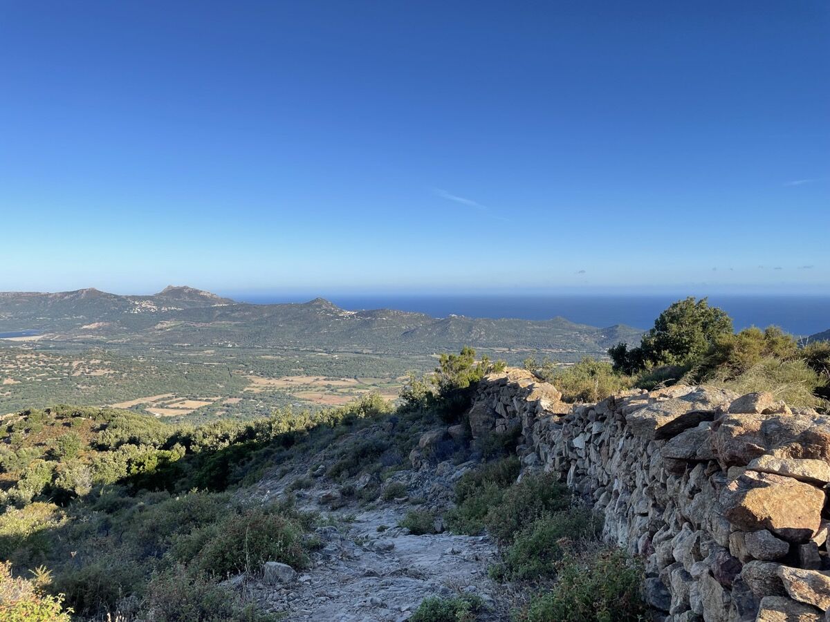
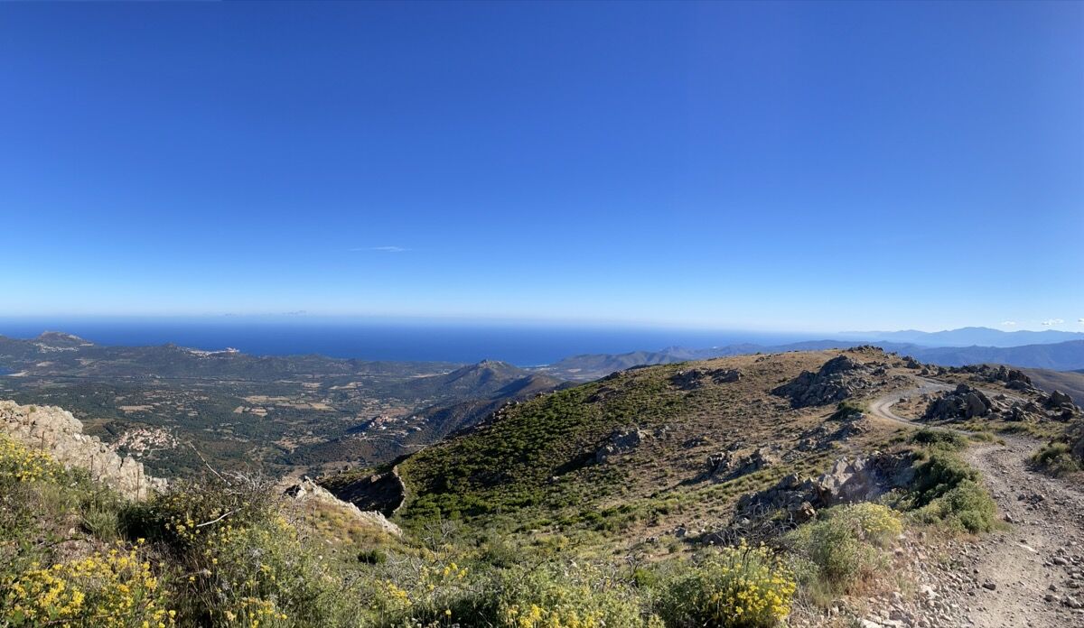
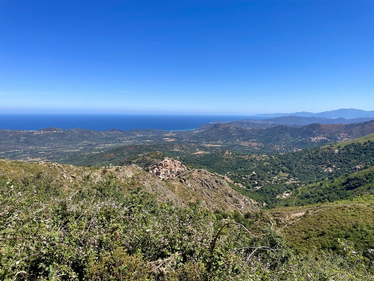
The route continues into the Ghjunsani via the Forcili trail, then Pioggiola before beginning the descent to Speloncato. The trail then leads to the village of Costa, then Belgodere.
Duration (depending...
Duration (depending on pace): 5h35 to 11h10

Áno
T2
Weather forecast: check the weather forecast before leaving on +33(0)3250 or +33(0)8 99 71 02 00
Avoid hiking in thunderstorms or windy conditions because of the fire risk
Avoid hiking if you see fire smoke even in the distance
Take water with you
Bring good hiking shoes and something to protect you from the sun and rain.
Watch out for the train for paths passing near the railway line
Keep dogs on a leash
If the ground is wet, be careful as the trails are often stony and can be slippery.
Respect the path of the trails, do not use short cuts to protect vegetation and prevent erosion
Do not damage fences, plantations, and do not disturb pets or herds.
Please note that the picking of certain plants is prohibited.
Do not leave any traces of your passage by taking your waste to a waste collection point, and think about sorting.
Find out about the hunting season
Do not hesitate to call on hiking professionals. Your Tourist Office works with qualified guides.
Obľúbené výlety v okolí
-
4,0
Hike 6: Giru L'Île-Rousse - Sta Reparata - Monticello
strednáTuristika 12,0 km -
3,0
Hike 7: Loop around the Codole dam
svetloTuristika 11,4 km -
5,0
Hike 4: Tour of the Cima Sant'Anghjulu
ťažkéTuristika 8,76 km -
5,0
Rando 31: Saleccia loop
svetloTuristika 11,2 km -
3,0
Hike 1: Corbara - Pigna - Varcale
svetloTuristika 10,1 km -
5,0
Rando 42: Algajola loop
svetloTuristika 7,16 km -
KORSIKA Pocca di Col de Batagglia 20190914
svetloTuristika 3,15 km -
FFC 12 mountain bike loop - Codole
ťažkéMountainbike 24,8 km -
Hike 9: Fiuminale Cala d'Alivu
svetloTuristika 7,37 km -
5,0
Hike 38 : Giru di a cima Tornaghja
svetloTuristika 8,58 km
Turistika a stopovanie


Nenechajte si ujsť ponuky a inšpiráciu na ďalšiu dovolenku
Vaša e-mailová adresa bol pridaný do poštového zoznamu.