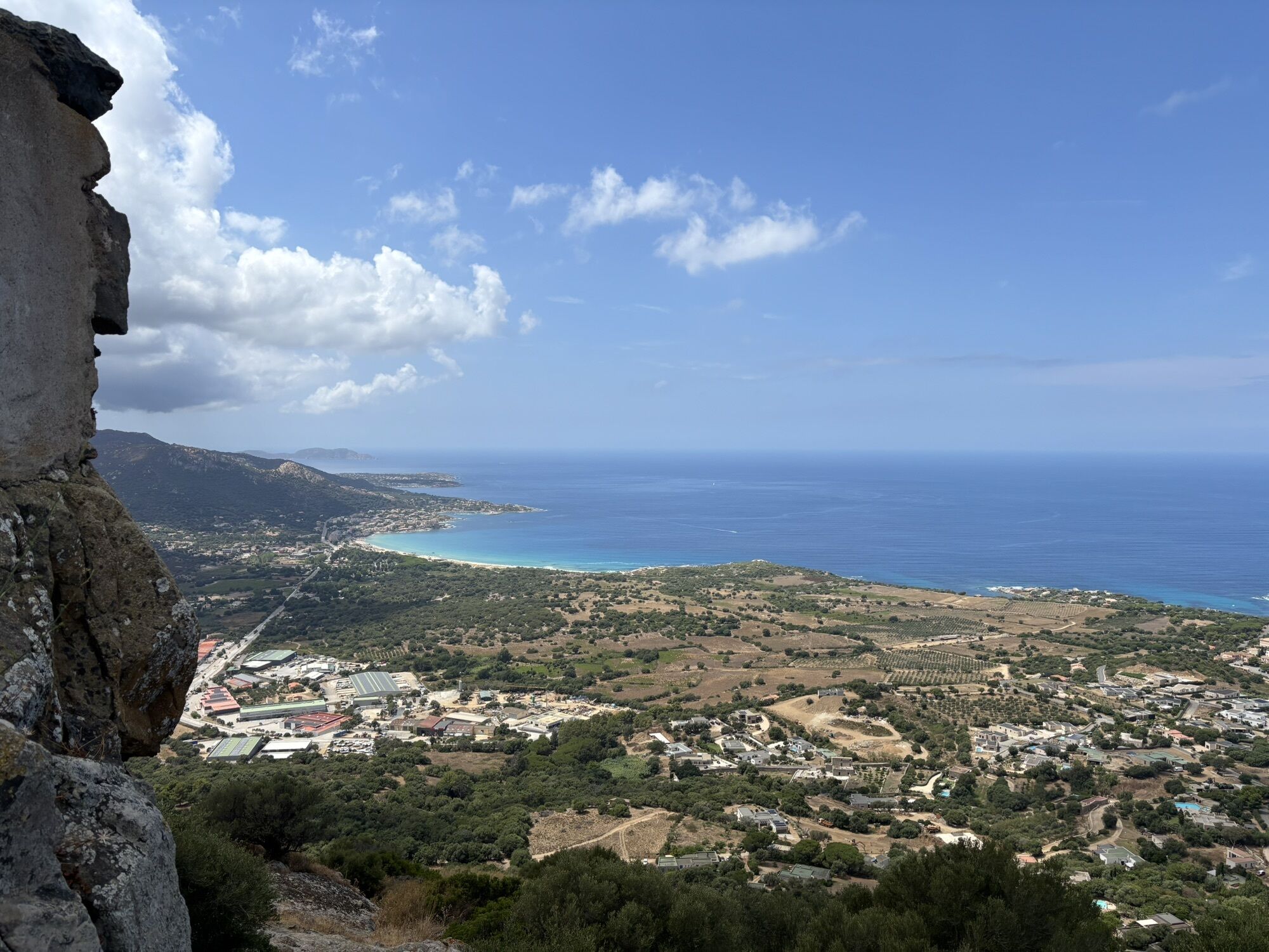
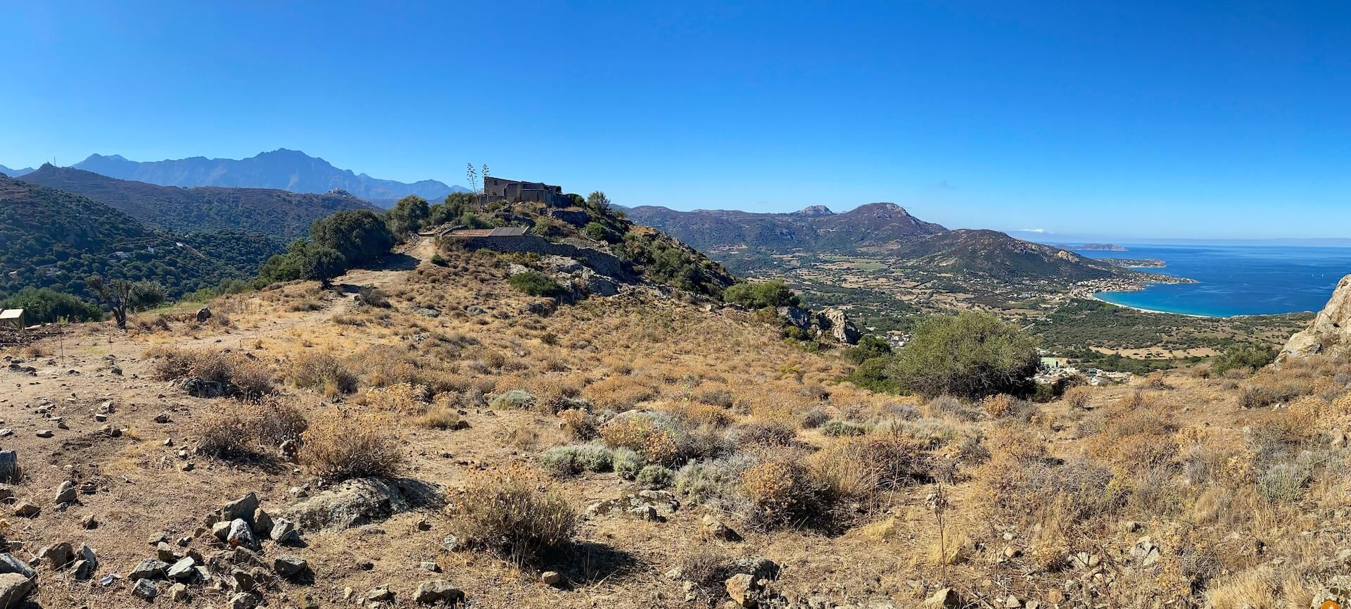
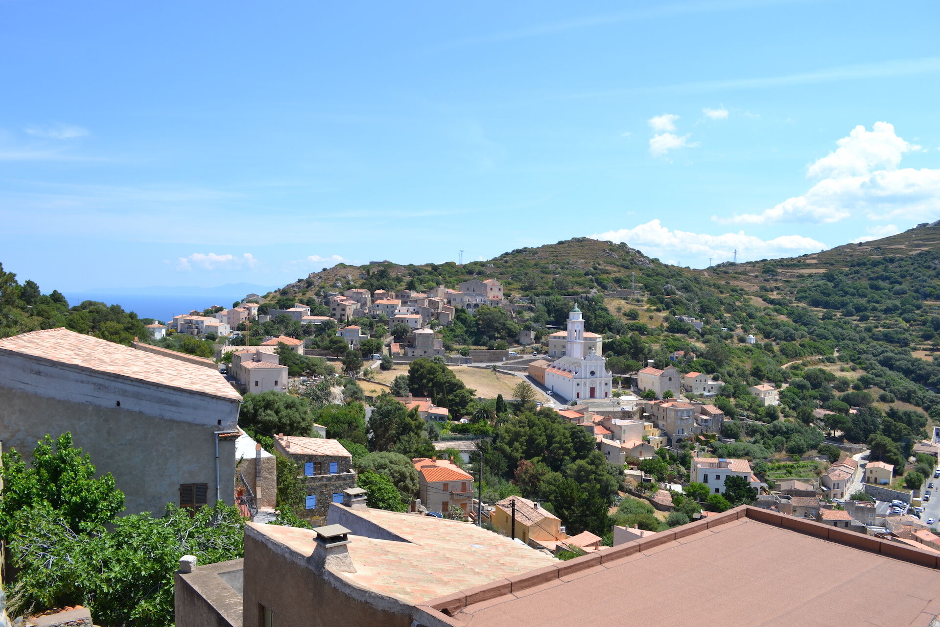
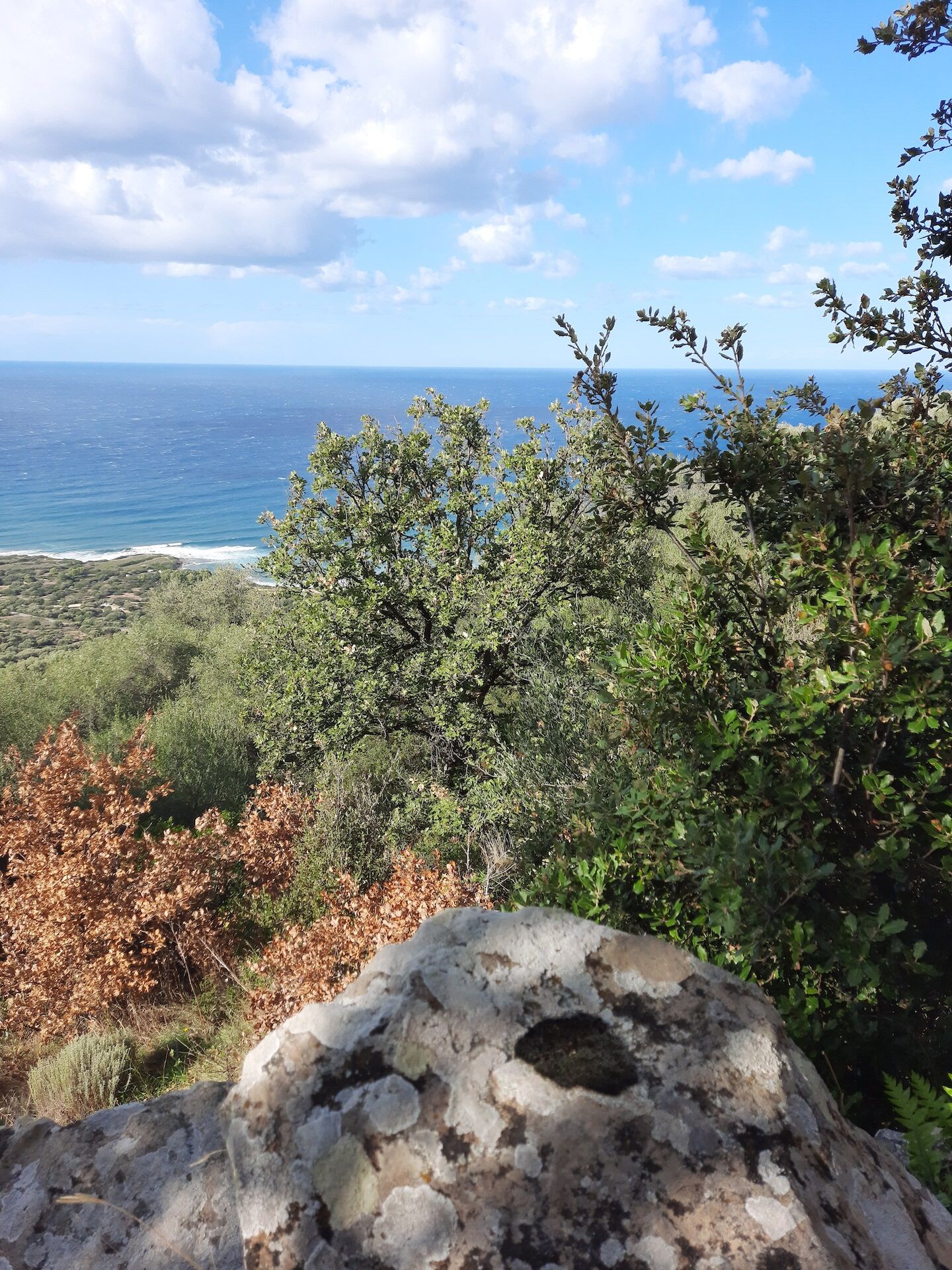
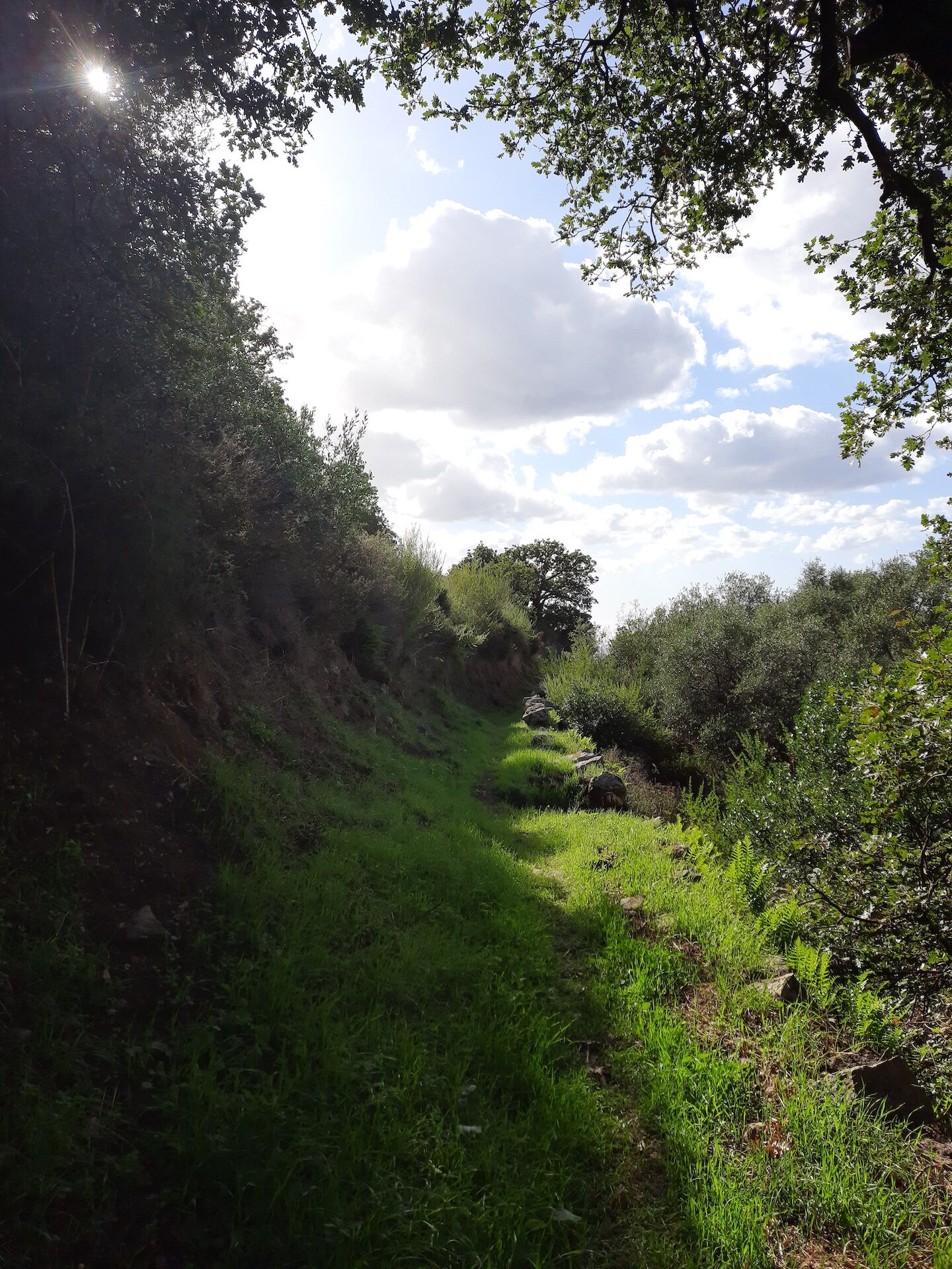
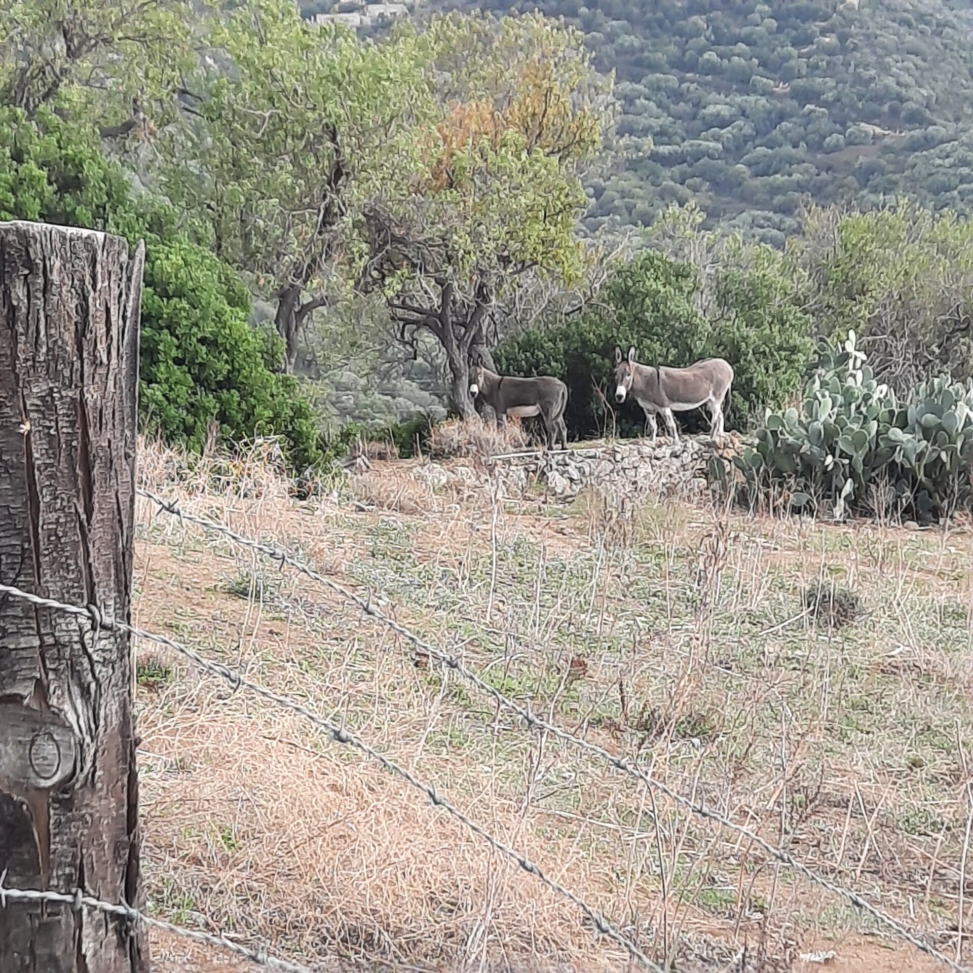
Hike 3: Corbara - Carbunaghja
stredná
Získajte túto prehliadku v mobilnom telefóne
Hike 3: Corbara - Carbunaghja
stredná
Turistika
3,85
km
Naskenujte kód QR a spustite navigáciu v aplikácii bergfex

Turistika a stopovanie


Hike 3: Corbara - Carbunaghja
stredná
Vzdialenosť
3,85
km
Trvanie
01:30
h
Ascent
184
hm
Hladina mora
115 -
306
m
Stiahnutie skladby
Hike 3: Corbara - Carbunaghja
stredná
Turistika
3,85
km
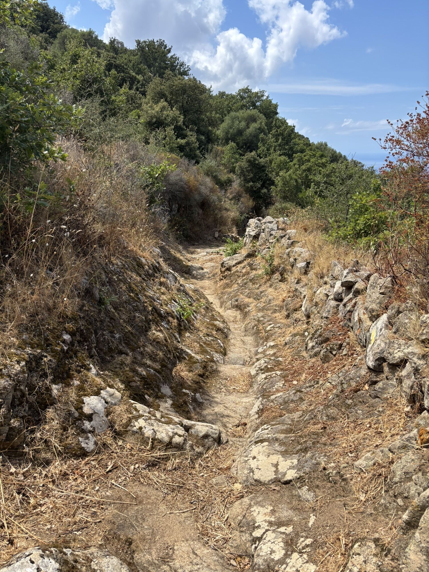
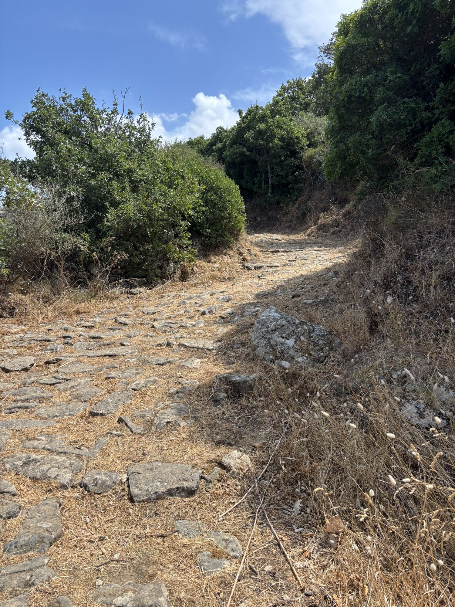
Trasa
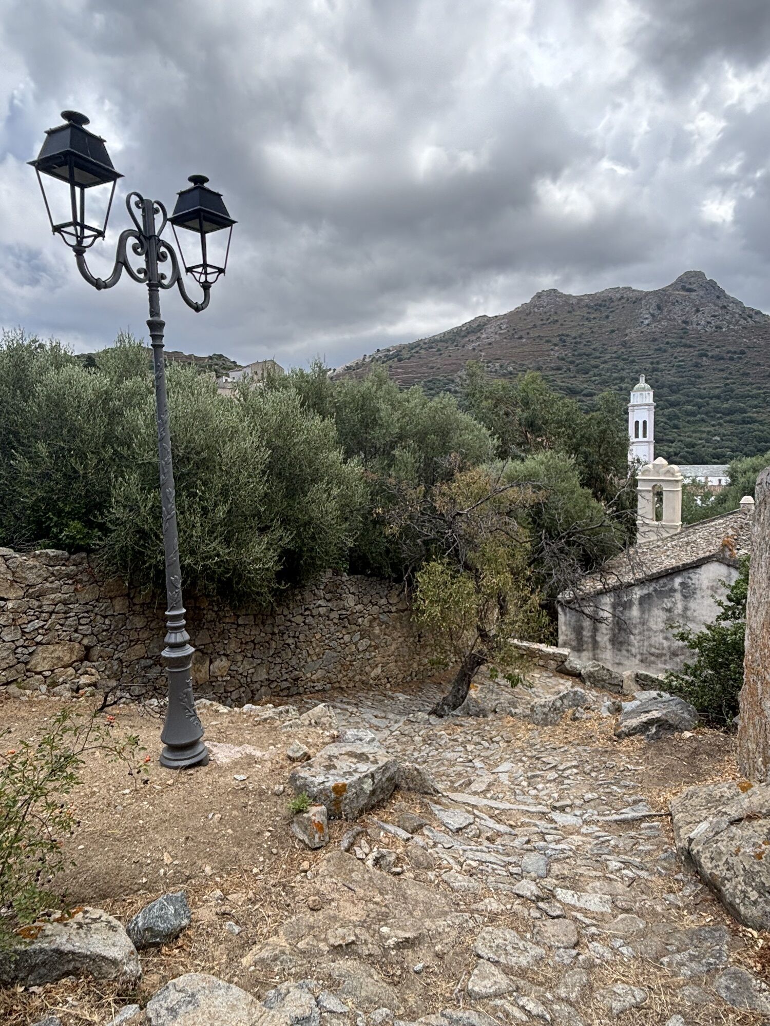
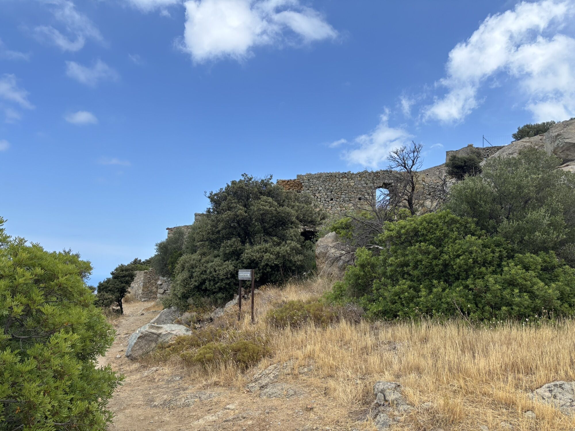
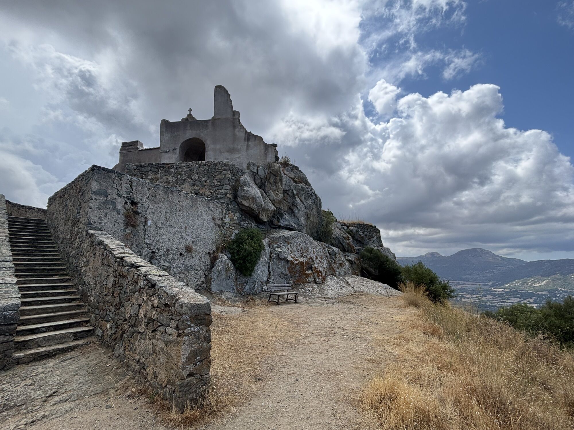
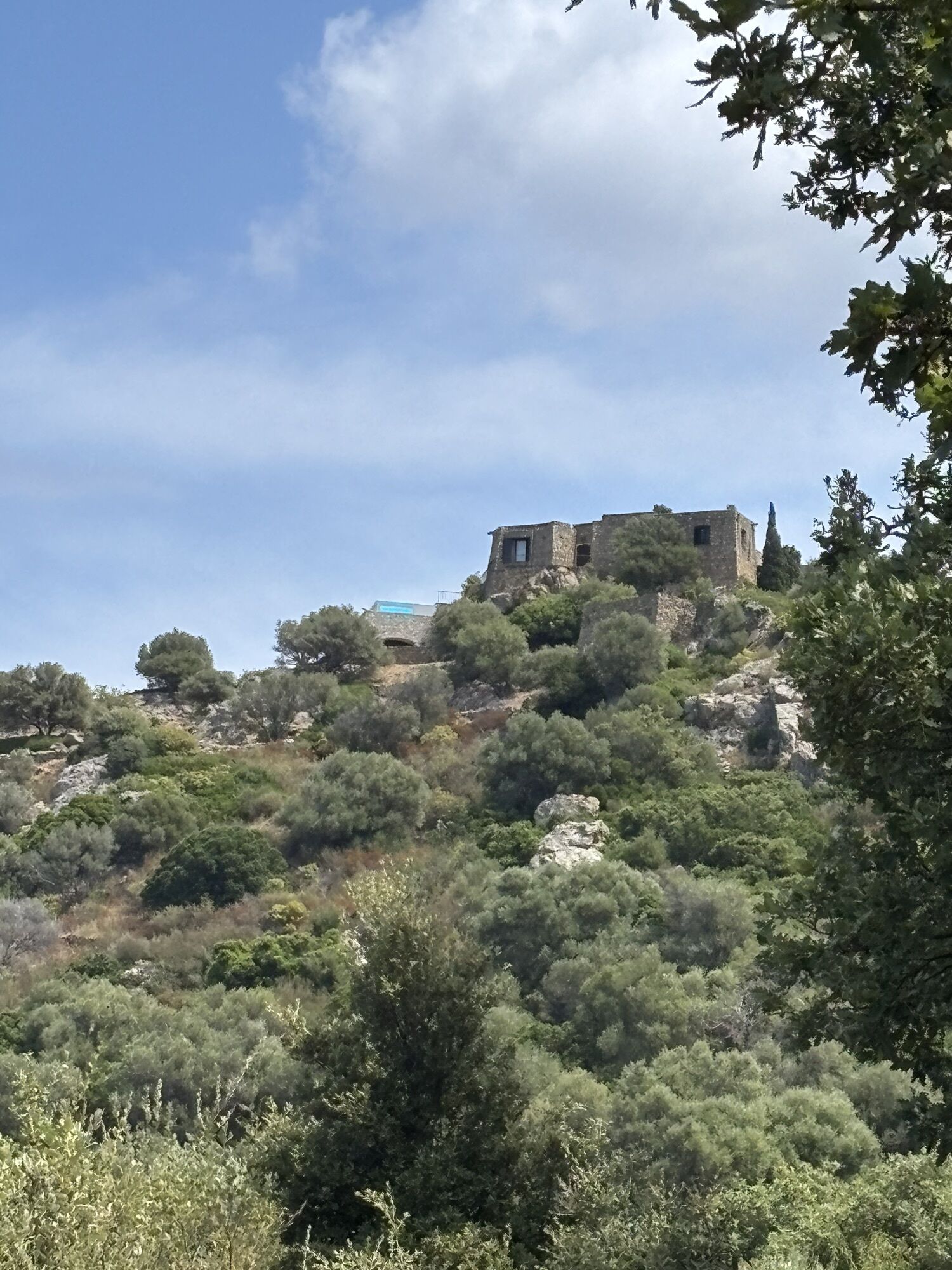
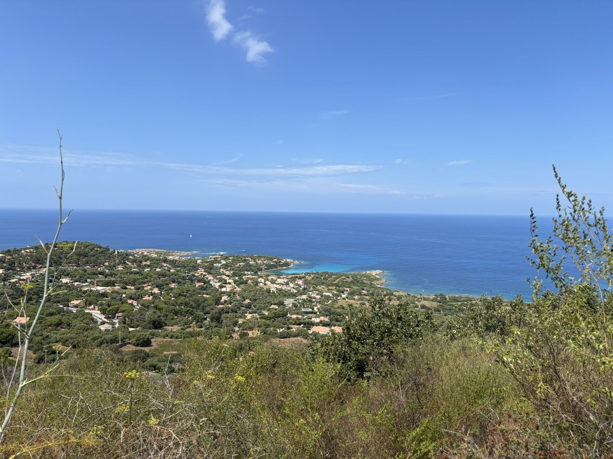
Église de l'Annonciation
(269 m)
Miesto uctievania
0,0 km
Chapelle Saints-Pierre-et-Paul
(216 m)
Miesto uctievania
2,5 km
Guido
(306 m)
Zúčtovanie
3,6 km
Trasa
Hike 3: Corbara - Carbunaghja
stredná
Turistika
3,85
km
Cunfraternita Sant'Antone Abbate
(269 m)
Miesto uctievania
0,0 km
Église de l'Annonciation
(269 m)
Miesto uctievania
0,0 km
Pietralba
(306 m)
Susedstvo
0,2 km
Carbonaja
(132 m)
Susedstvo
1,4 km
Curzo
(54 m)
Dedina
1,7 km
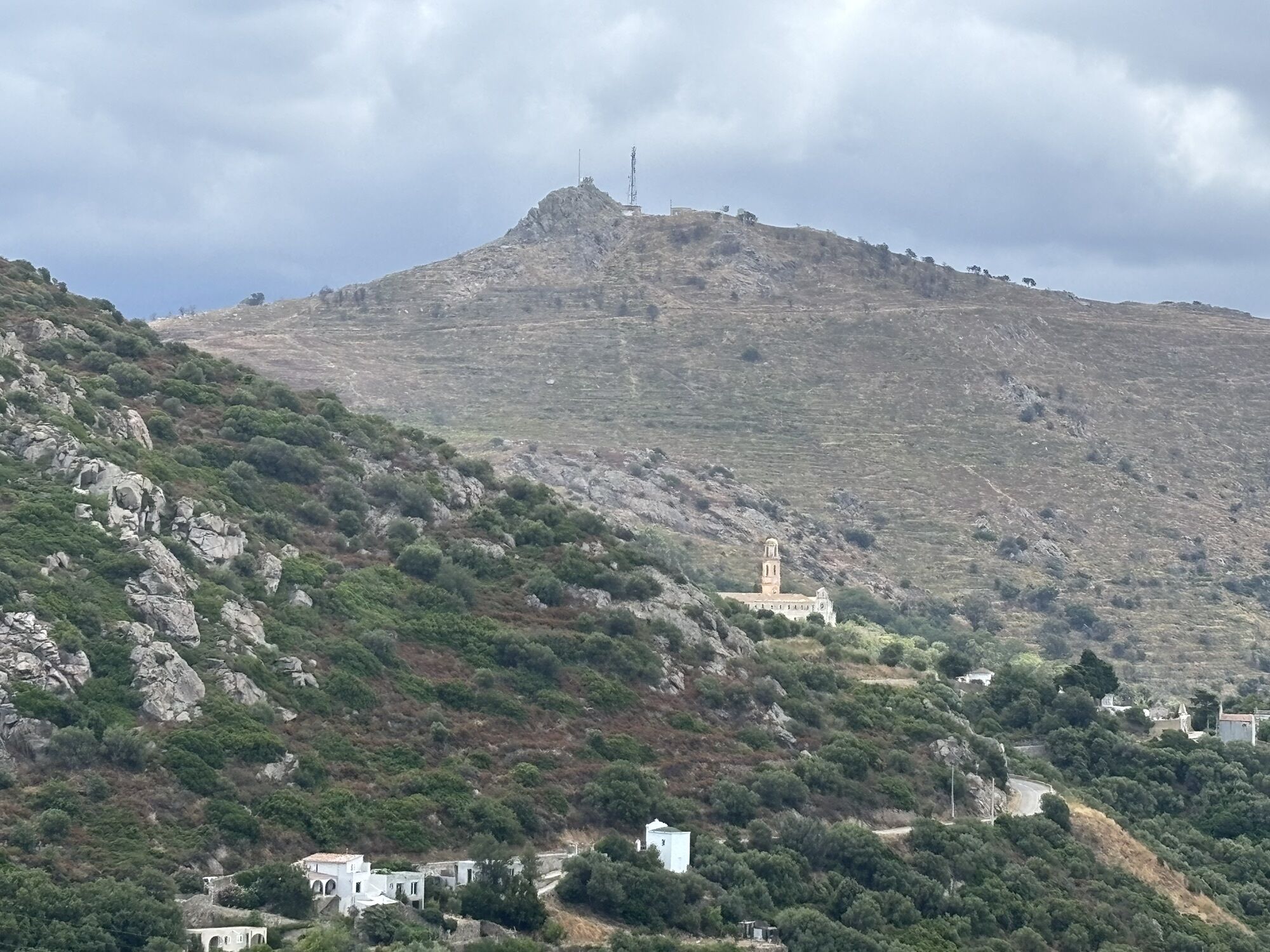
Chapelle Saints-Pierre-et-Paul
(216 m)
Miesto uctievania
2,5 km
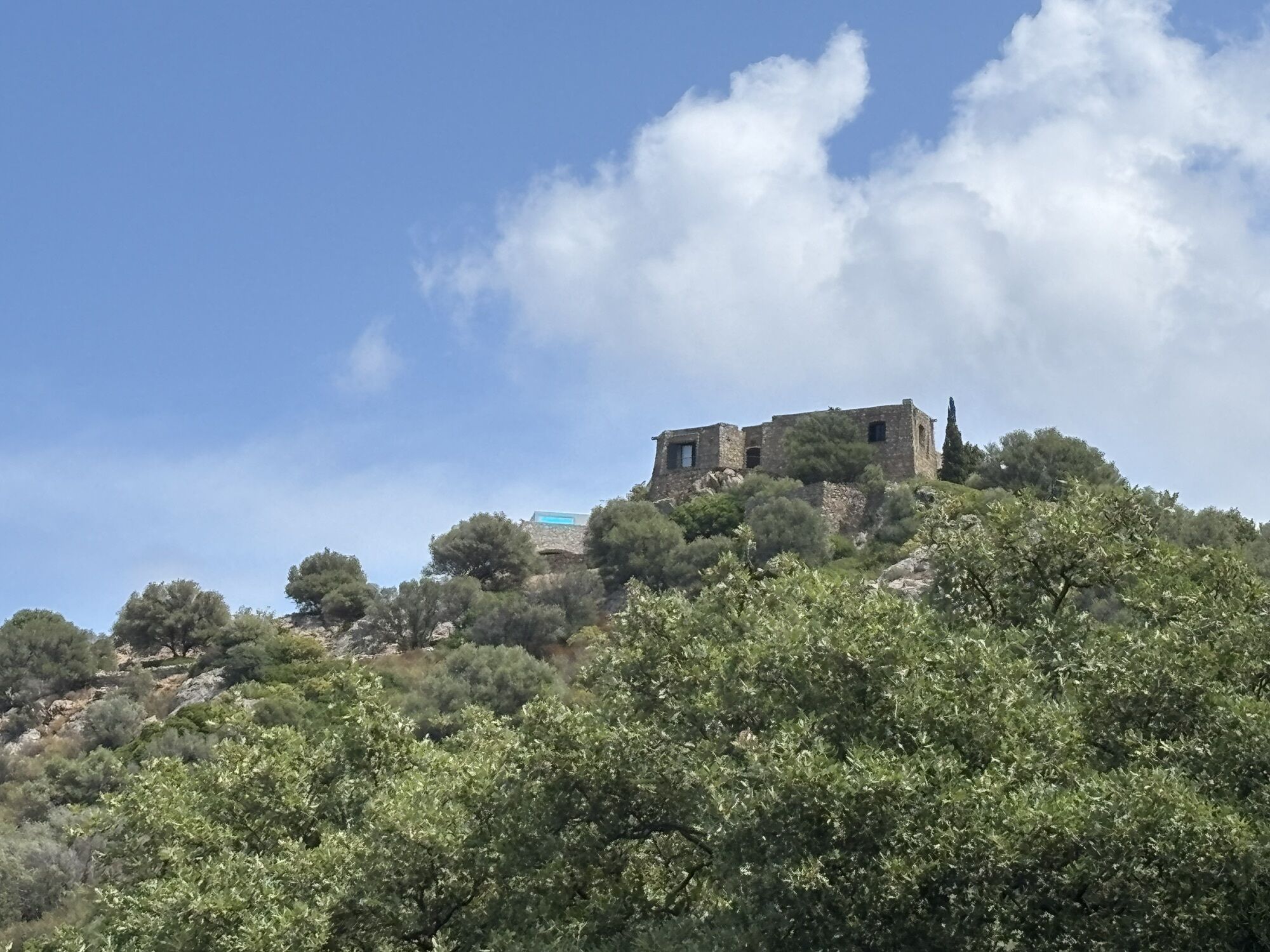
Villa di Mezzo
(243 m)
Susedstvo
3,0 km
U Borgu
(286 m)
Susedstvo
3,1 km
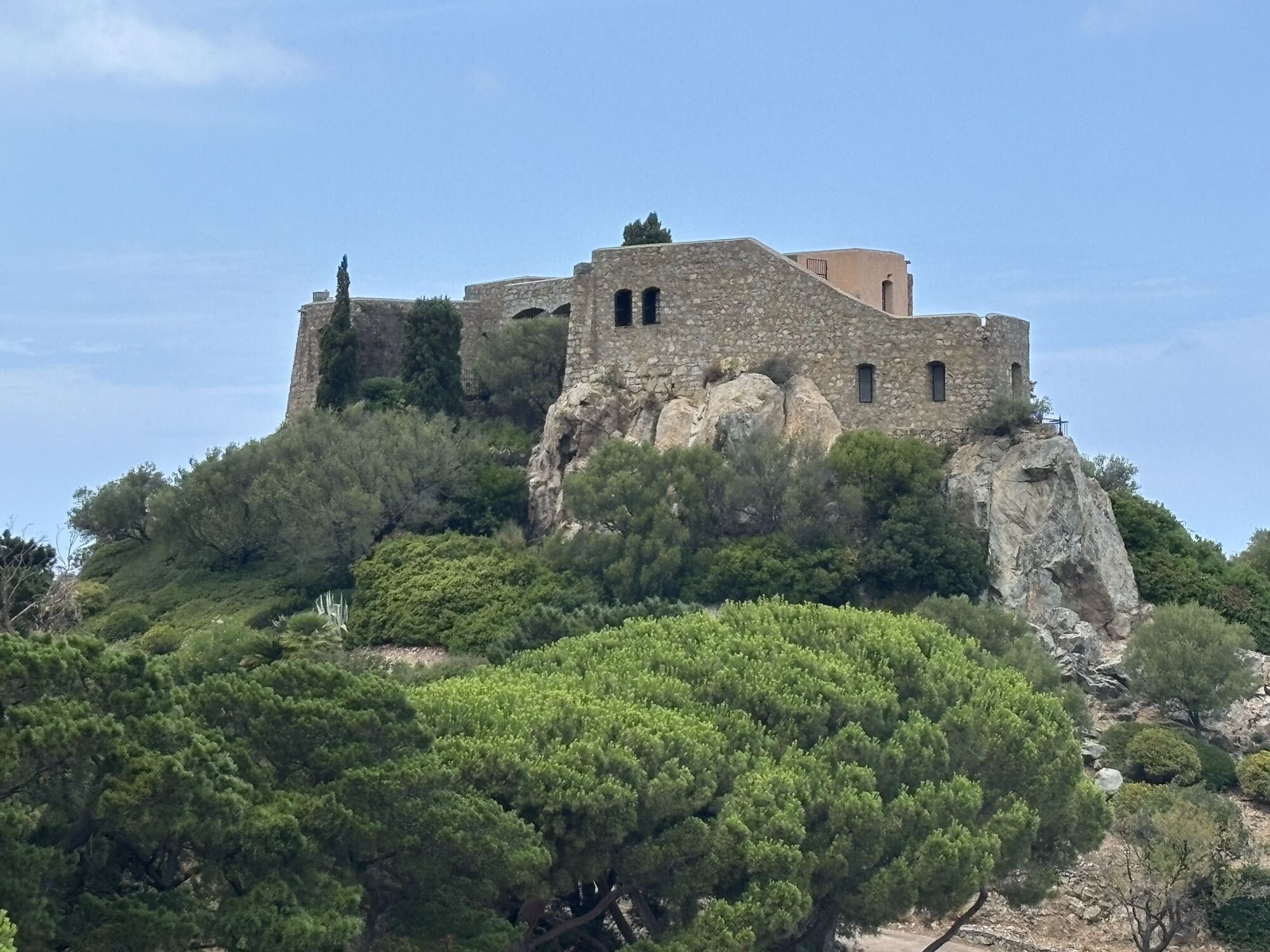
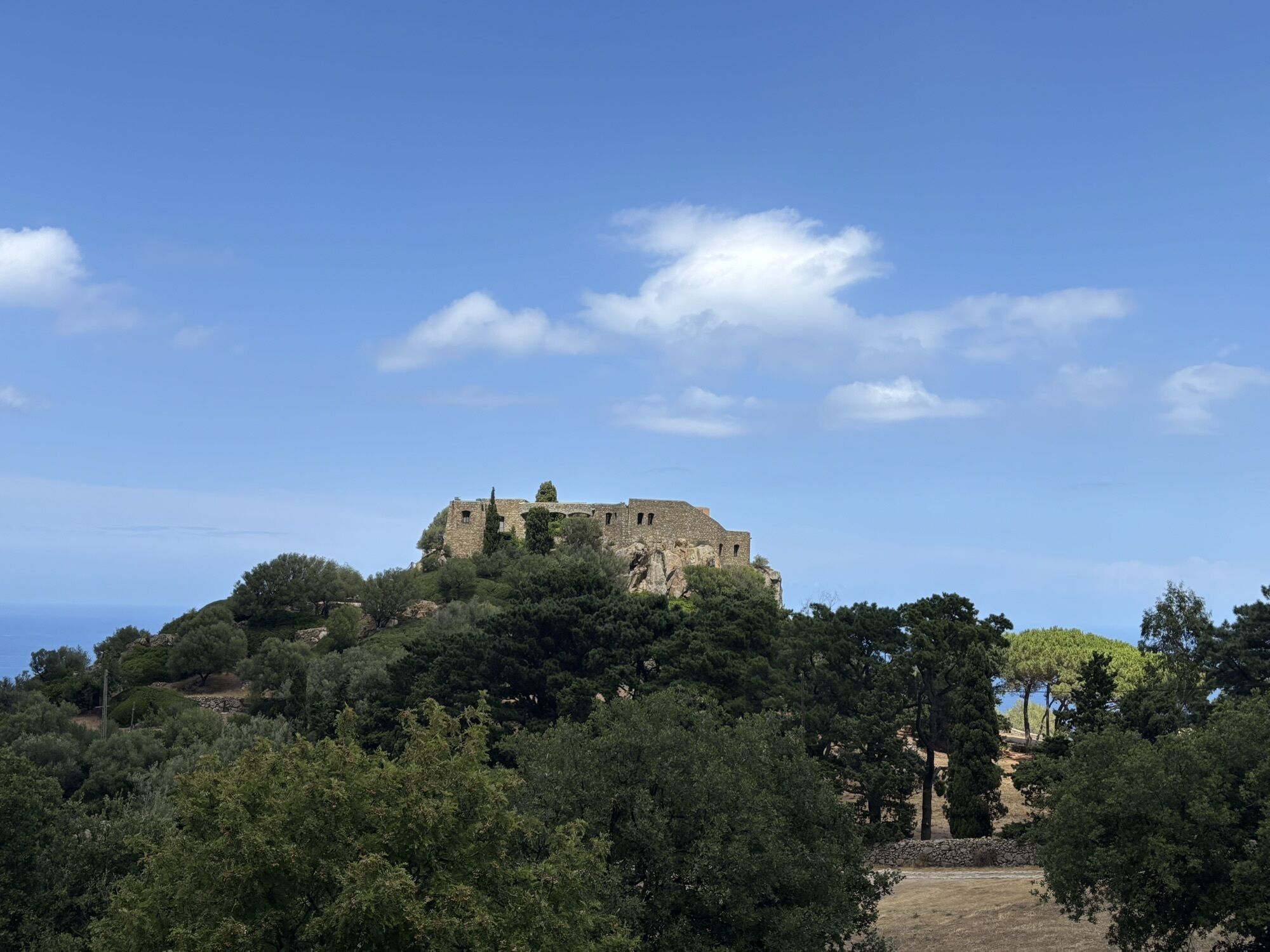
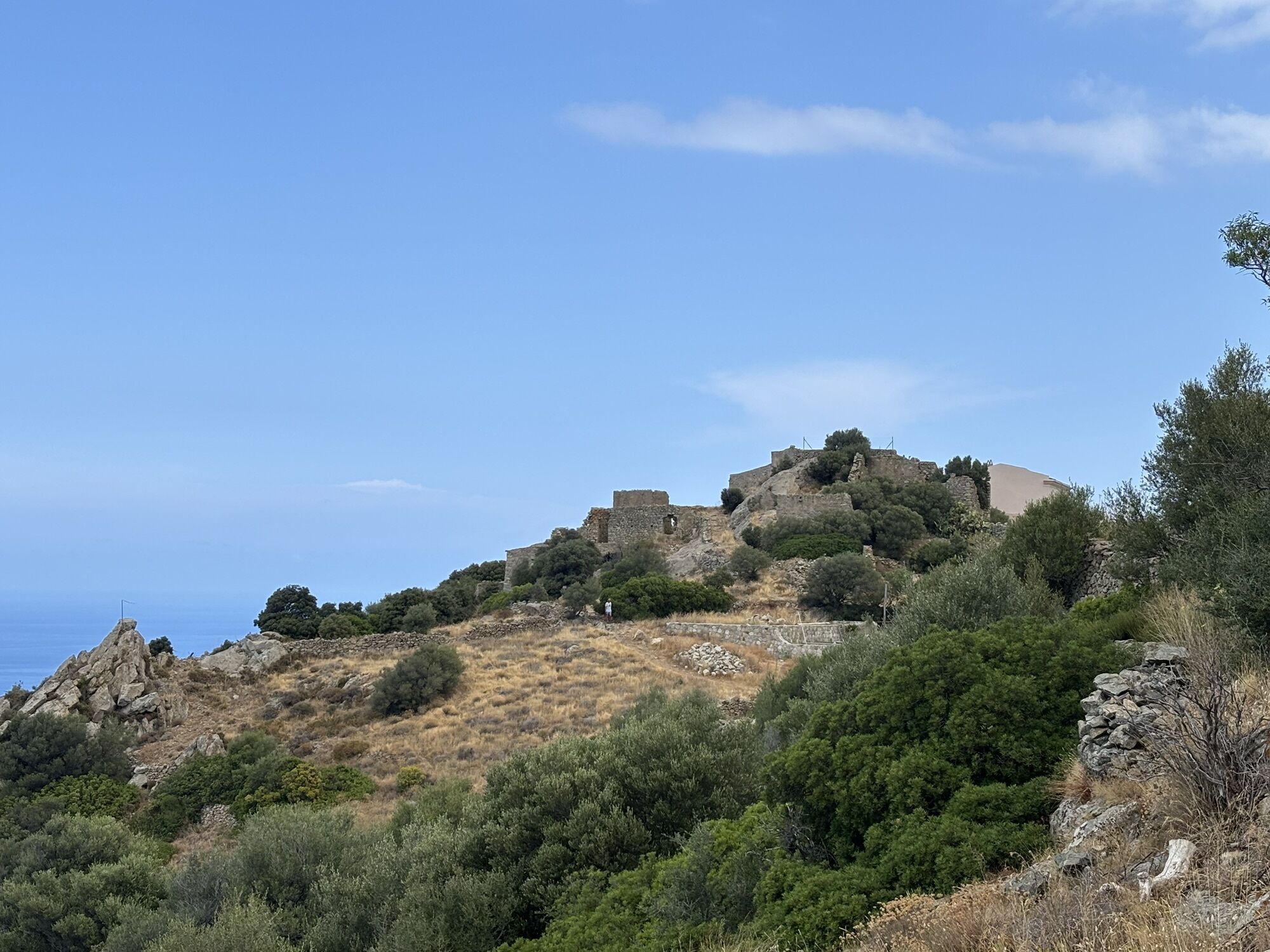
Notre-Dame des 7 Douleurs
(305 m)
Uhol pohľadu
3,2 km
Notre-Dame de 7 Douleurs
(307 m)
Miesto uctievania
3,2 km
Guido
(306 m)
Zúčtovanie
3,6 km
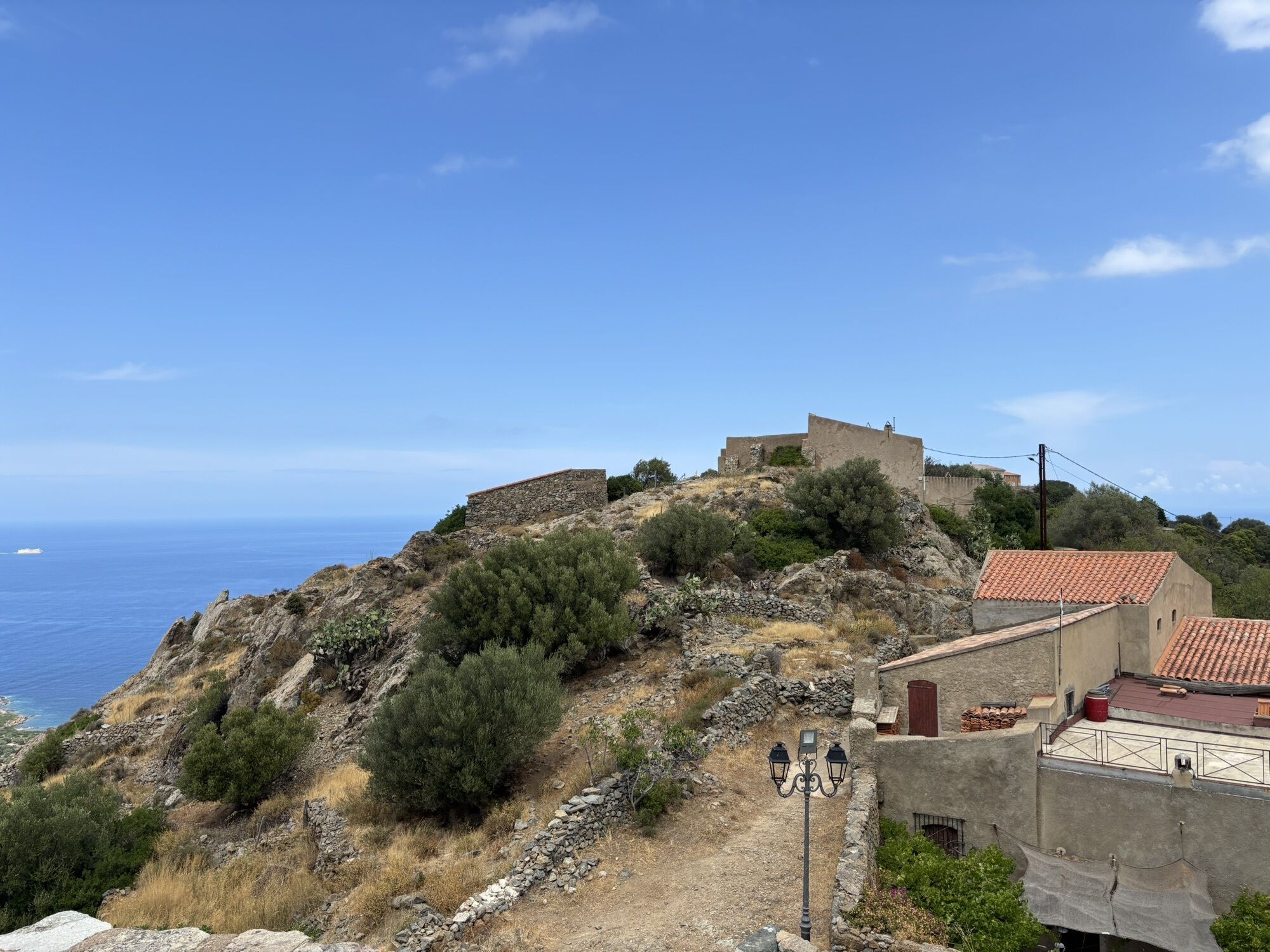
Casavecchielle
(263 m)
Susedstvo
3,8 km
Corbara
(234 m)
Dedina
3,8 km
Villa Sottana
(230 m)
Susedstvo
3,8 km
Informácie o trase
Geologické zaujímavosti
Áno
Zariadenie
Clothing suitable for the season and conditions (cold, hot, humid…)
Hiking shoes suitable for the terrain (even for children!)
Hiking poles (useful for stability and to relieve the joints)
Mobile phone and spare battery
Bezpečnostné pokyny
Before leaving:
Check the general and local weather, making sure there is no precipitation Get information on the approach walk, itinerary height, travel time, possible escape routes (IGN map, GPS, guidebook, etc…) Assess possible risks by consulting mountain professionals, refuges, lodges Inform someone close about your objective and contact them again if plans change: departure and return times, number of participants with each phone number, vehicle(s), parking Avoid going alone, use equipment suitable for the activity, adjusted and in good condition, headlamp, complete first aid kit, survival blanket, etc…In case of problem
Alert: call 112 (European emergency number)
5 key points to convey your alert:
Where? municipality, place, itinerary, altitude Who? identity, phone number What? type of accident, number of victims, severity, fall dynamics When? time of the accident Weather? wind, visibility
Informácie o príchode
Príchod
Consider carpooling
Verejná doprava
The Balanina shuttle takes you there from Monday to Saturday, excluding public holidays
Parkovanie
Parking near the starting point
Ďalšie informácie a tipy
Ďalšie informácie
APIDAE Tourism data updated on 01/17/2022 by "Office de Tourisme Intercommunal de L'Ile Rousse-Balagne".
An error on this record? Write to the owner quoting these references:
Record name: Hike 3: Corbara - Carbunaghja | Record ID: 5687342 | URL (link) of this Outdooractive page.
An error on this record? Write to the owner quoting these references:
Record name: Hike 3: Corbara - Carbunaghja | Record ID: 5687342 | URL (link) of this Outdooractive page.
Zatiaľ žiadne recenzie
Obľúbené výlety v okolí
-
4,1
Calvi - Capu di a Veta
strednáTuristika 11,4 km -
4,0
Hike 6: Giru L'Île-Rousse - Sta Reparata - Monticello
strednáTuristika 12,0 km -
3,0
Hike 7: Loop around the Codole dam
svetloTuristika 11,4 km -
5,0
Hike 4: Tour of the Cima Sant'Anghjulu
ťažkéTuristika 8,76 km -
5,0
Rando 31: Saleccia loop
svetloTuristika 11,2 km -
3,0
Hike 1: Corbara - Pigna - Varcale
svetloTuristika 10,1 km -
5,0
Rando 42: Algajola loop
svetloTuristika 7,16 km -
KORSIKA Pocca di Col de Batagglia 20190914
svetloTuristika 3,15 km -
5,0
Hike 38 : Giru di a cima Tornaghja
svetloTuristika 8,58 km -
FFC 12 mountain bike loop - Codole
ťažkéMountainbike 24,8 km

Turistika a stopovanie

Viac ako 550.000 návrhov výletov, podrobné mapy a intuitívny plánovač trás robia z aplikácie povinnú výbavu pre všetkých nadšencov prírody.

Nenechajte si ujsť ponuky a inšpiráciu na ďalšiu dovolenku
Prihlásiť sa k odberu noviniek
Chyba
Vyskytla sa chyba. Prosím, skúste to znova.
Ďakujeme za vašu registráciu
Vaša e-mailová adresa bol pridaný do poštového zoznamu.
Zájazdy po celej Európe
Rakúsko
Švajčiarsko
Nemecko
Taliansko
Slovinsko
Francúzsko
Holandsko
Belgicko
Poľsko
Lichtenštajnsko
Česko
Slovensko
španielsko
Hrvaška
Bosna a Hercegovina
Luxembursko
Andorra
Portugalsko
Island
Spojené kráľovstvo
Írsko
Grécko
Albánsko
Severné Macedónsko
Malta
Nórsko
Čierna Hora
Moldavsko
Kosovo
Maďarsko
San Maríno
Rumunsko
Estónsko
Lotyšsko
Bielorusko
Cyprus
Litva
Srbsko
Bulharsko
Monako
Dánsko
Švédsko
Fínsko