





Kotka park route

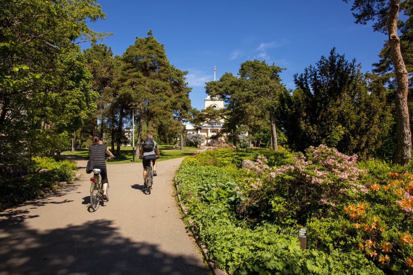
The Kotka park route is 8.1 kilometers in length. You can pick your favorite parks from it or complete the entire route briskly on foot or by bike. The route includes Sapokka Water Park, Katariina Sea...
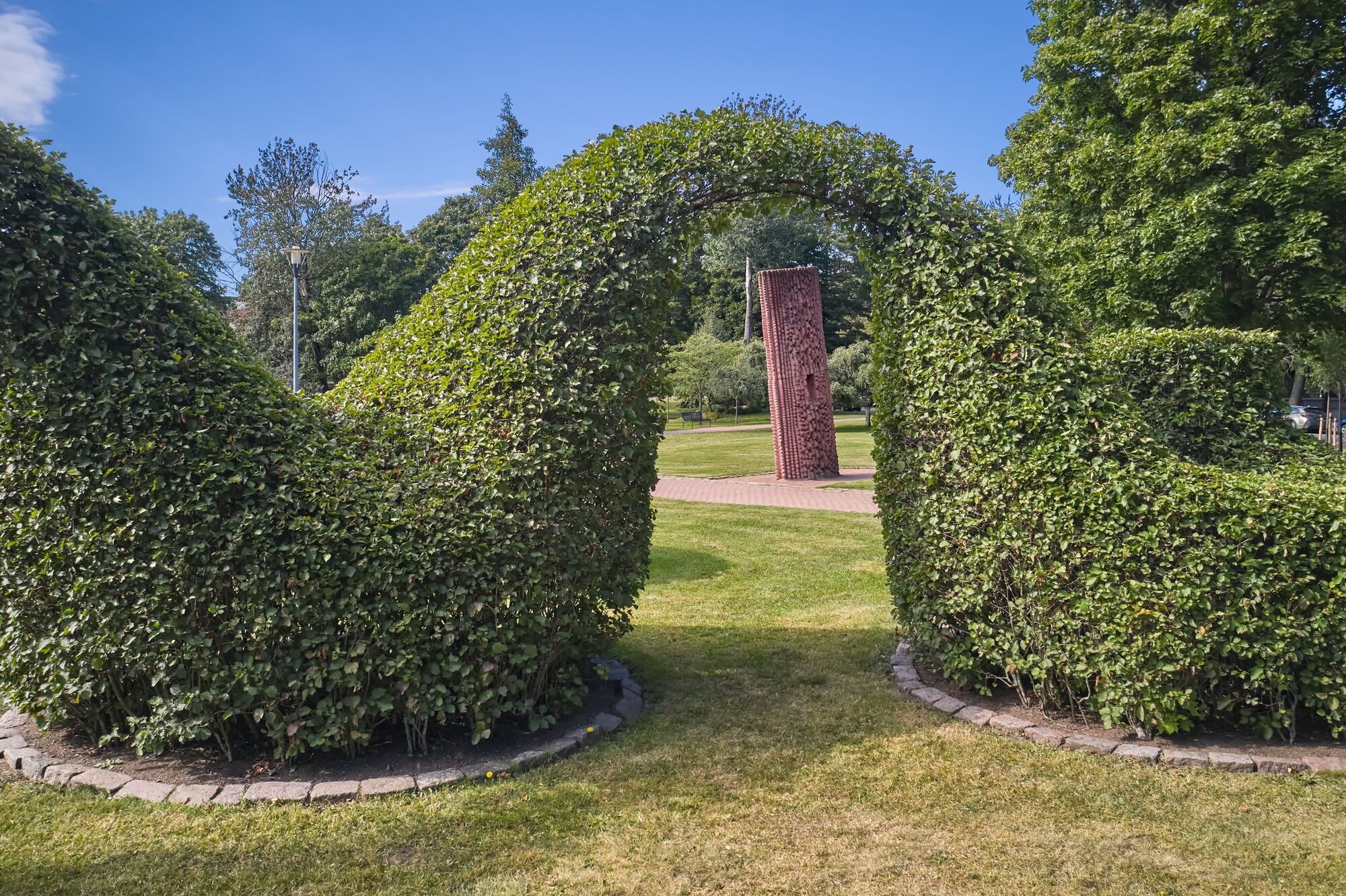
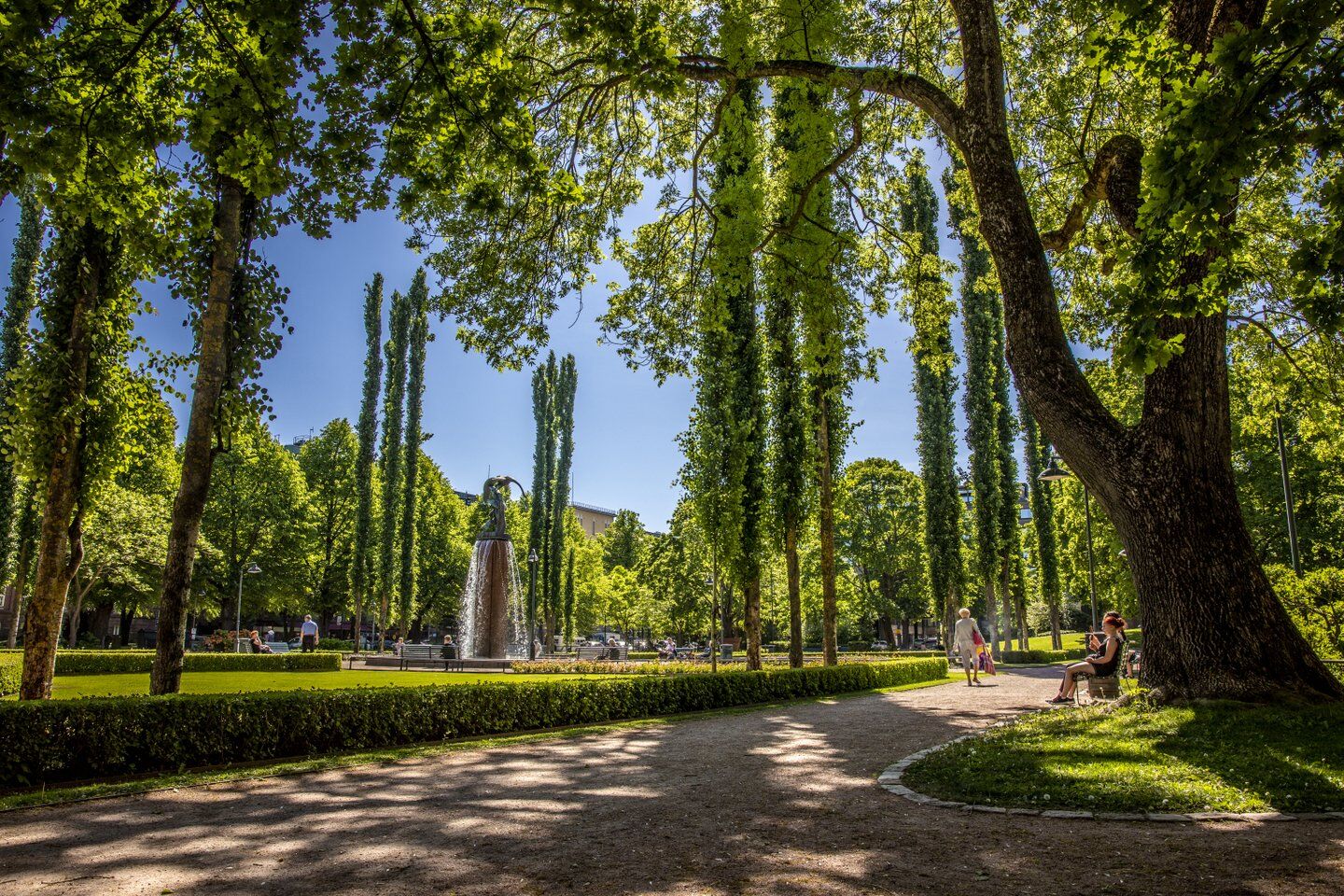
The Kotka park route is 8.1 kilometers in length. You can pick your favorite parks from it or complete the entire route briskly on foot or by bike. The route includes Sapokka Water Park, Katariina Sea Park, Sculpture Promenade, Palotornivuori Park, Sibelius Park, Toivo Pekkanen Park, Fuksi Park, Peony Park, Iso Park, and the Herb Garden Redoubt.
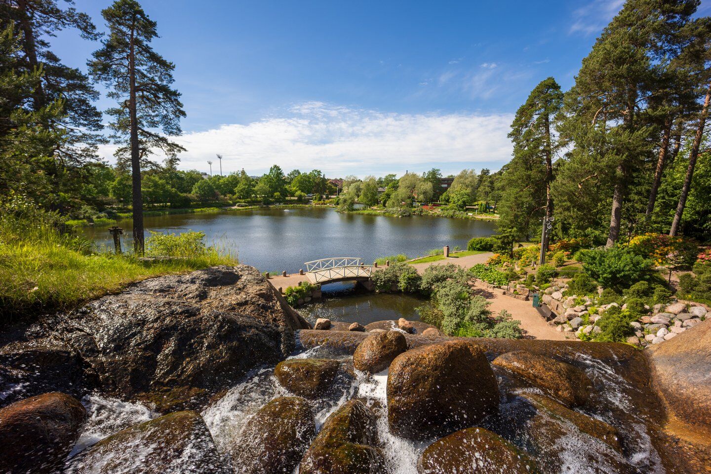
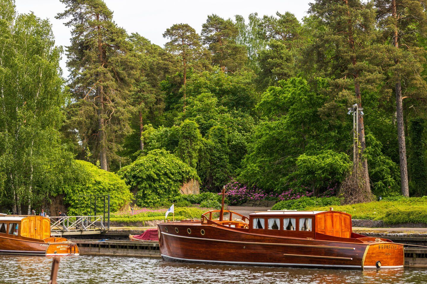
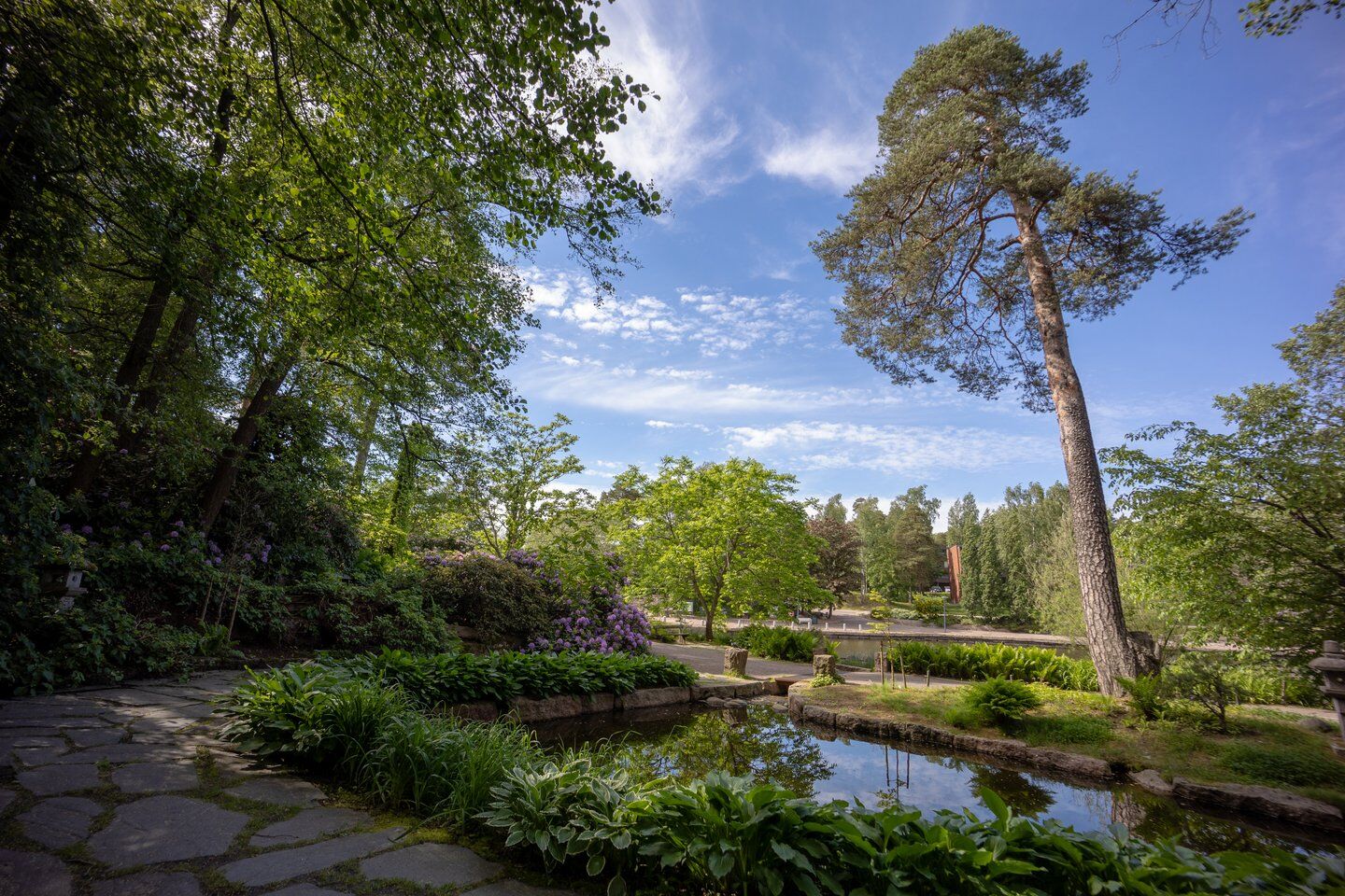
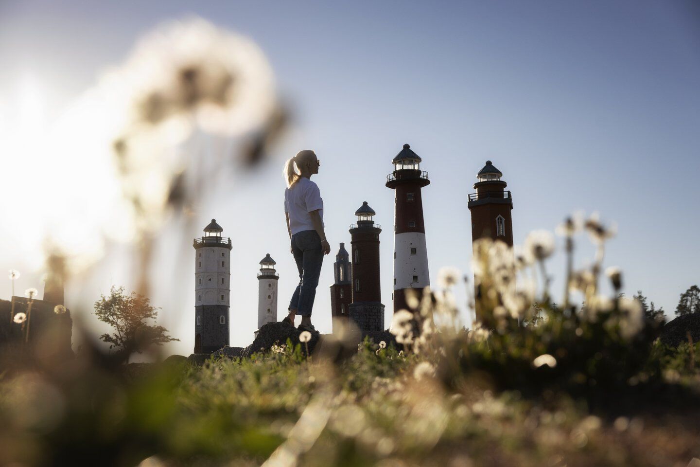
Sapokka is a charming green area restored in addition to being a small boat harbor. The dominant element of the park is water. In addition to the sea area, it flows in small streams and ponds as well as in a nearly 20-meter-high waterfall on the park's southern slope. At Eero Hiirosen Square, you can see seven works by Professor Hiirosen.
Katariina Sea Park is a large outdoor area built in the middle of the Ruotsinsalmi fortress ruins. The park has a large meadow area and splendid picnic spots. One of them is a stone table by the sea for 50 people, said to be Finland’s largest picnic table. The park also features a meditative labyrinth modeled after the medieval Chartres Cathedral, with a path of 525 meters to its center.
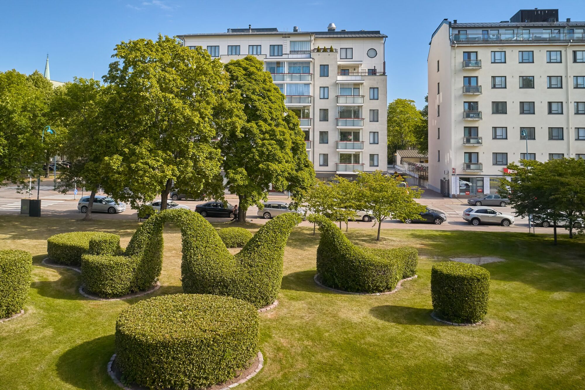
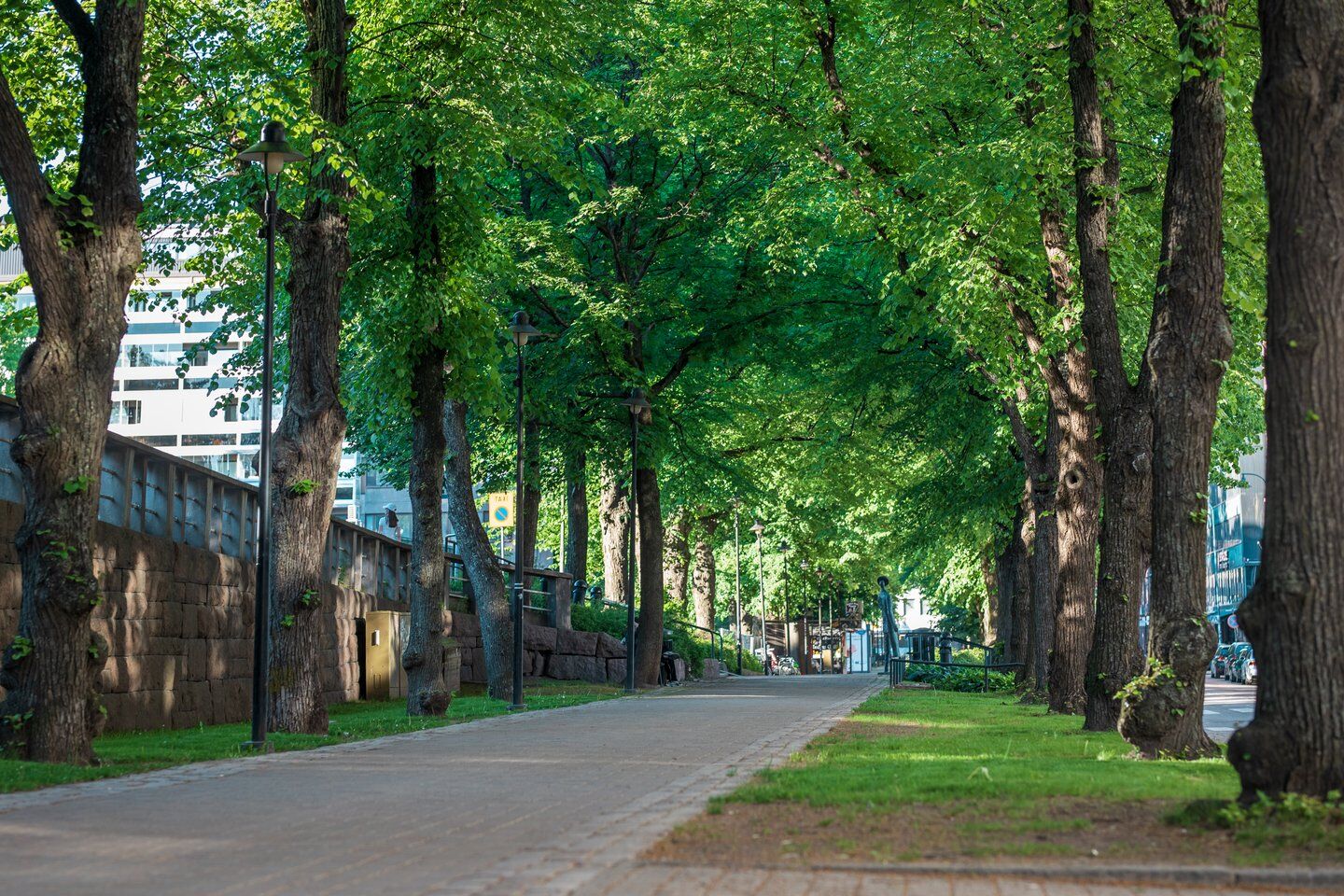
The Sculpture Promenade is a route more than two kilometers long running through the center of Kotka. From the linden avenue on Keskuskatu and two other parks connected to it — Toivo Pekkanen Park and Sibelius Park — a magnificent contemporary art sculpture park has formed. It has received the Environmental Construction Award (2001) and the Pro Sculptura Medal (2004).
Welcome to enjoy Kotka’s parks.

Park route directions
Áno
Áno
There are no difficult sections on the route, but if you want to leave the route to explore, for example, the fortifications from the naval battles of Ruotsinsalmi, you should prepare with footwear suitable for the terrain.
The route is safe to walk.
When coming from the motorway, take exit 74 and continue south on Hyväntuulentie until you reach the center of Kotka.
The park route is located in the heart of Kotka, and nearly all long-distance buses come here. Bus timetables can be found at https://www.matkahuolto.fi/matkustajat/bussiaikataulut
All local bus services that end in the center of Kotka are in the immediate vicinity of the park route. Local bus timetables can be found at https://www.kotkanaikataulut.fi/
When arriving by train, the distance from Kotka Kantasatama terminal stop to the park route is at least 200 meters. Train timetables can be found at https://www.vr.fi/aikataulut
There are plenty of both paid and free parking options on Kotka Island.
Five of Kotka's parks have been awarded the Green Flag Awards label. Four of these parks are located on the route.
Much recycled material has been used in the construction of the parks. The majority of the soil masses come from other construction sites, and the stones used are quarry by-products. Old street cobbles have also been reused in many ways.
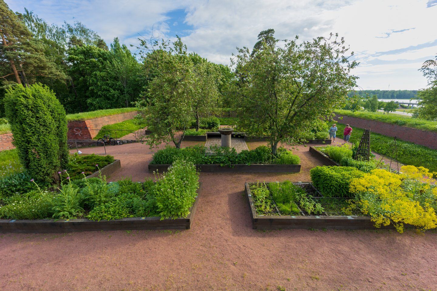
Along the route, there are several fortifications from the naval battles of Ruotsinsalmi (1789–1790), which have been restored as sights. The herb garden has been established in an old Redoubt, and in Meripuisto there is the Gun Battery of Katariina's fortress. The large park also houses Kotka's oldest building, the Orthodox church, which is the only building from that era to have survived intact.
Obľúbené výlety v okolí
-
Santalahti Resort - Rapids Route
svetloCyklistika 28,0 km -
Fortresses Coast, Loviisa, Kotka, Hamina
svetloCyklistika 88,5 km -
Santalahti nature trail, Kotka
svetloTuristika 4,40 km -
Santalahti Resort - Alvar Aalto's Sunila
svetloCyklistika 34,4 km -
Kymi River Rapids Cycling Route, Kotka
svetloCyklistika 24,8 km -
Kotka national urban park cycling route
strednáCyklistika 47,1 km -
Alvar Aalto's Kymenlaakso
svetloCyklistika 96,8 km -
Santalahti Resort - Kotka Park route
svetloCyklistika 18,3 km -
Villa Jaakkola's rural route
svetloCyklistika 35,8 km -
Kylpylä - Lappeen Marian kirkko - Variskallio - Lentokenttä
Motorrad 240,1 km
Turistika a stopovanie


Nenechajte si ujsť ponuky a inšpiráciu na ďalšiu dovolenku
Vaša e-mailová adresa bol pridaný do poštového zoznamu.





