






The Authion by bike
Úroveň náročnosti: 2
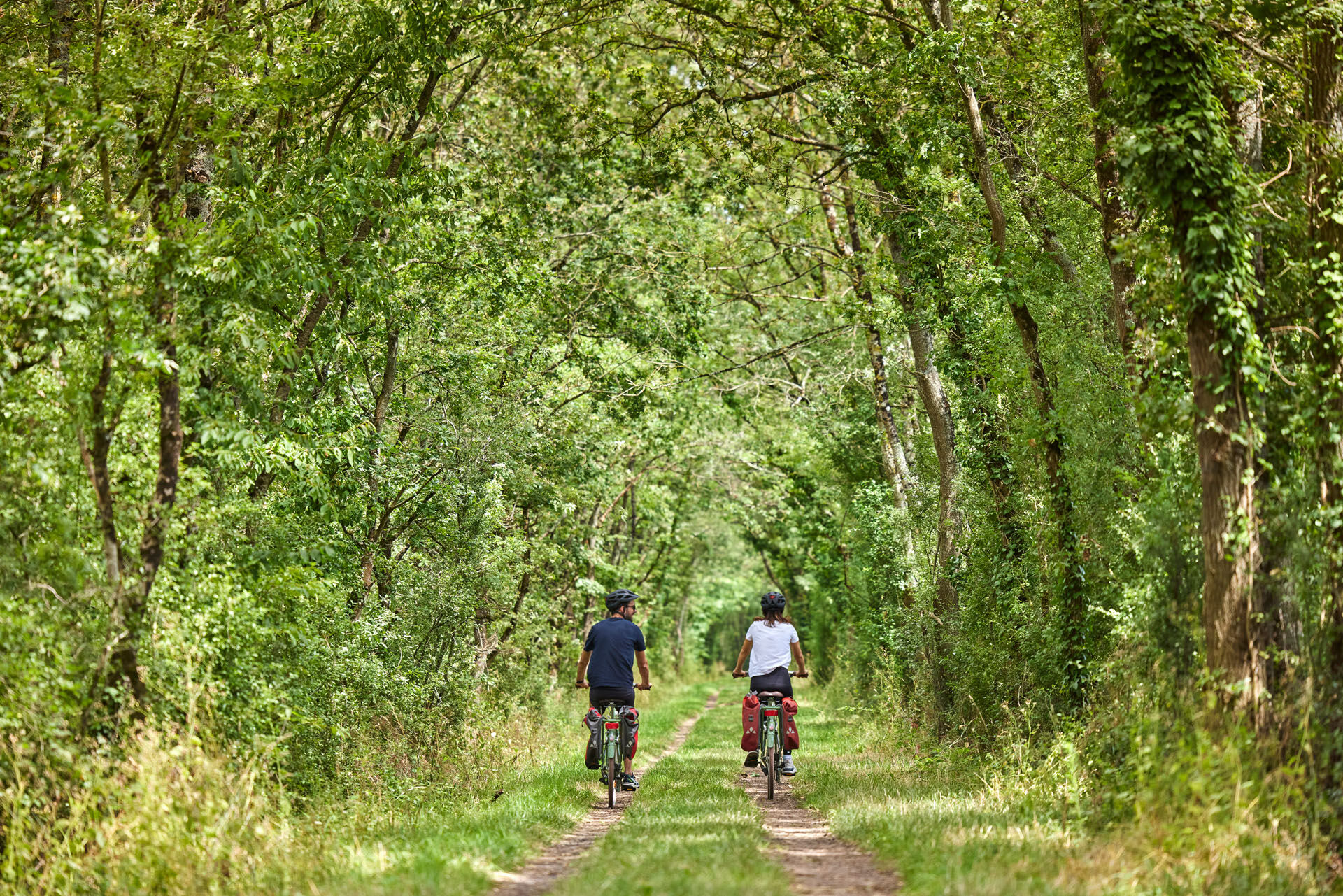
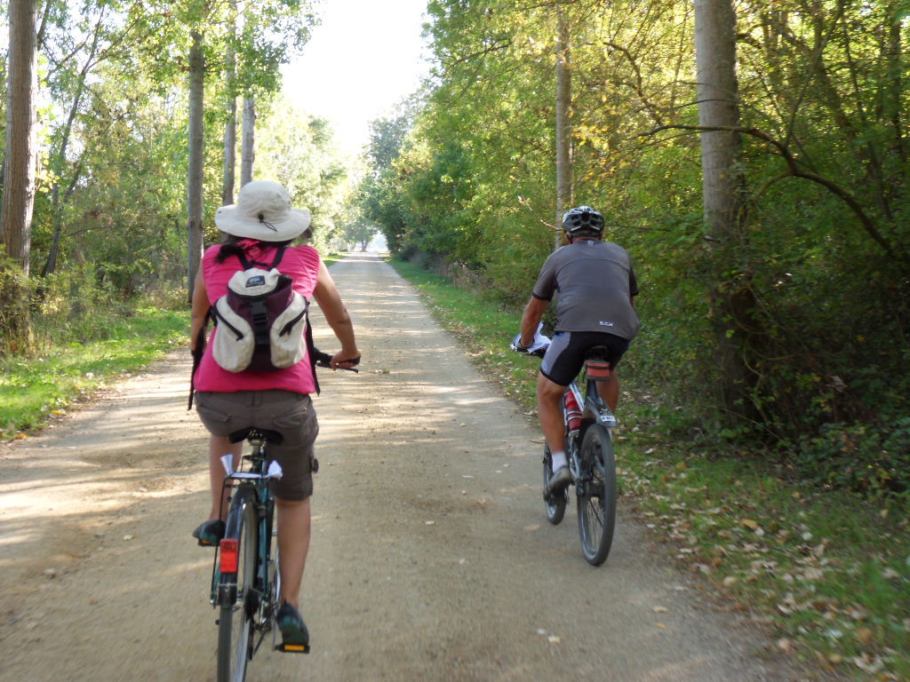
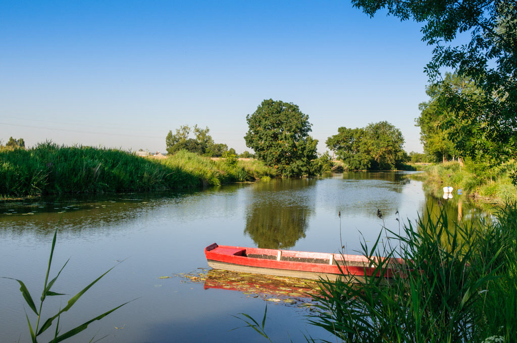
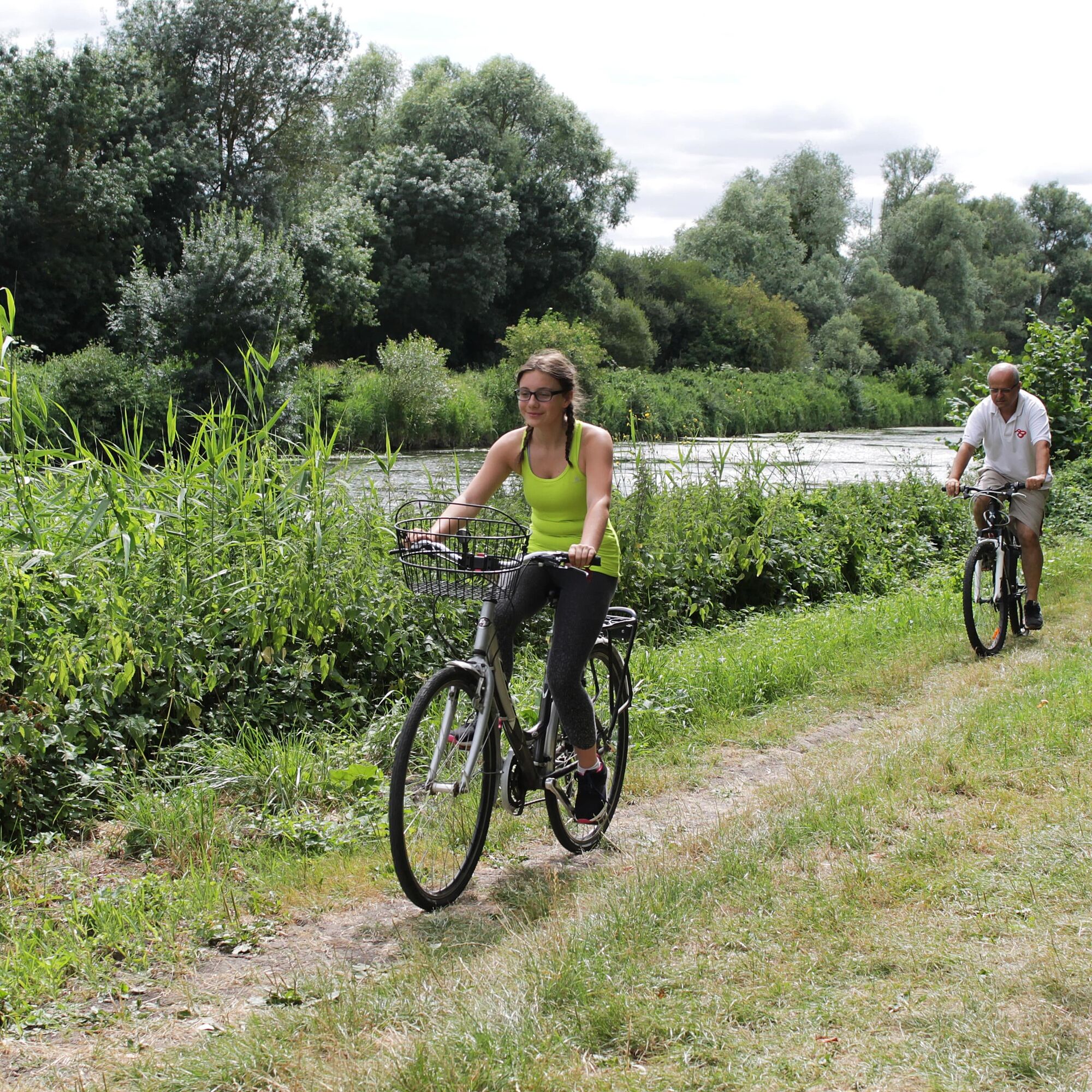
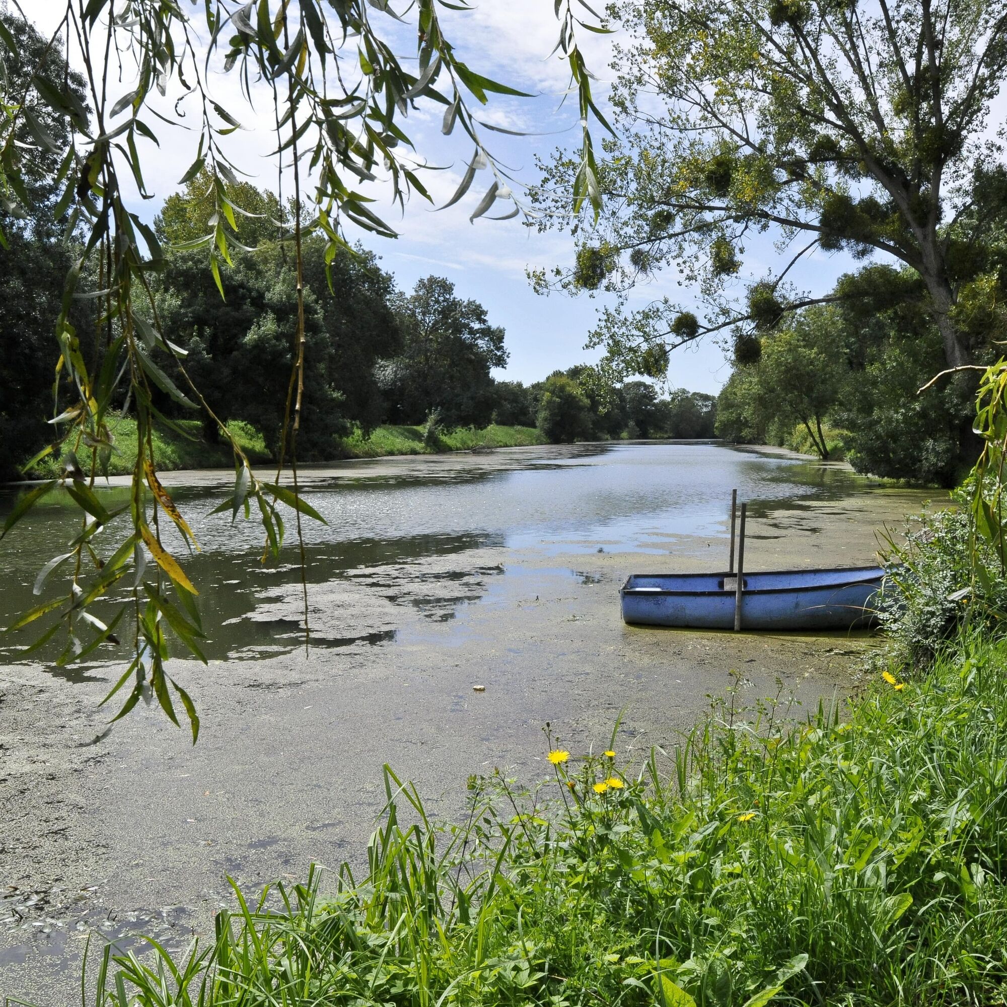
Set off on this itinerary in the heart of the Loire Anjou Touraine Regional Nature Park and stroll through the marshes of the Authion Valley and along the banks of the river.


Before leaving:
Make sure the bike is in perfect mechanical condition, including tires and brakes Ensure the bike is properly adjusted to your body shape Wearing a helmet is strongly recommended Carry a repair kit Remember that the Highway Code applies to cyclists in all circumstances Never ride more than two abreast and move into a single file when traffic conditions require it Respect other users as you would like to be respected Choose a route adapted to your physical capabilities Inform those around you of your itinerary Check the weather conditions A first aid kit is not essential but can be very useful Find out and keep emergency numbers handy. Respect the environment by not throwing your food packaging on the roadside If you have to return at nightfall, make sure you can see and be seenAngers and its surroundings, rich in their confluence landscapes, are sometimes subject to flooding risks throughout the year. Some paths may be temporarily impassable, stay vigilant.
In case of emergency, call 112.
Consider carpooling.
Parking spaces near the start of the route.
2
This route and the associated GPX track may under no circumstances be shared without mentioning Destination Angers.
Obľúbené výlety v okolí
-
4,0
The Anjou loop of La Loire à Vélo - with bac de la Chevalerie
svetloCyklistika 39,1 km -
La Roche de Murs
svetloTuristika 5,50 km -
Scents of the undergrowth walk
svetloTuristika 13,8 km -
Banks of the Loir circuit
svetloTuristika 8,87 km -
Loire and Aubance Circuit
svetloCyklistika 51,5 km -
The Loire and the horticultural fields
ťažkéTuristika 19,5 km -
The slate route
ťažkéTuristika 24,2 km -
La Vélo Francette - from Longuenée-en-Anjou to Loire Authion
strednáCyklistika 55,8 km -
La Loire à Vélo - from Loire-Authion to Savennières
svetloCyklistika 34,8 km -
5,0
Angers Historische Centrum
svetloTuristika 5,88 km

Turistika a stopovanie


Nenechajte si ujsť ponuky a inšpiráciu na ďalšiu dovolenku
Vaša e-mailová adresa bol pridaný do poštového zoznamu.





