






Marcillé plateau to the towpath

Úroveň náročnosti: T1
Tourist attractions :
- The Choiseau valley, surrounding this small stream, is a direct tributary of the Mayenne. A small vineyard hut remains in this valley, witness to a vineyard that once produced a...
- The Choiseau valley, surrounding this small stream, is a direct tributary of the Mayenne. A small vineyard hut remains in this valley, witness to a vineyard that once produced a sweet white wine.
- In the commune of Feneu, on the way back down to the Mayenne, you'll pass hectares of pome fruit and stone fruit cultivation with the Vergers de Vauléard.
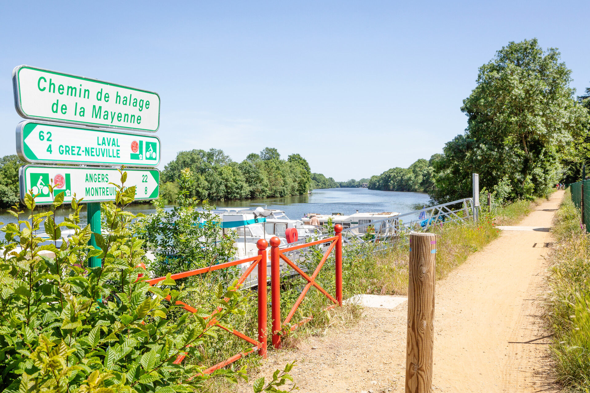
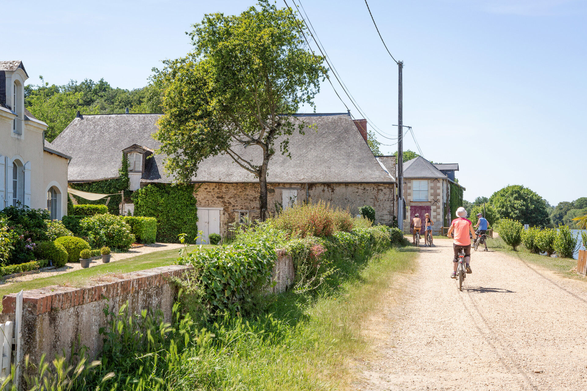
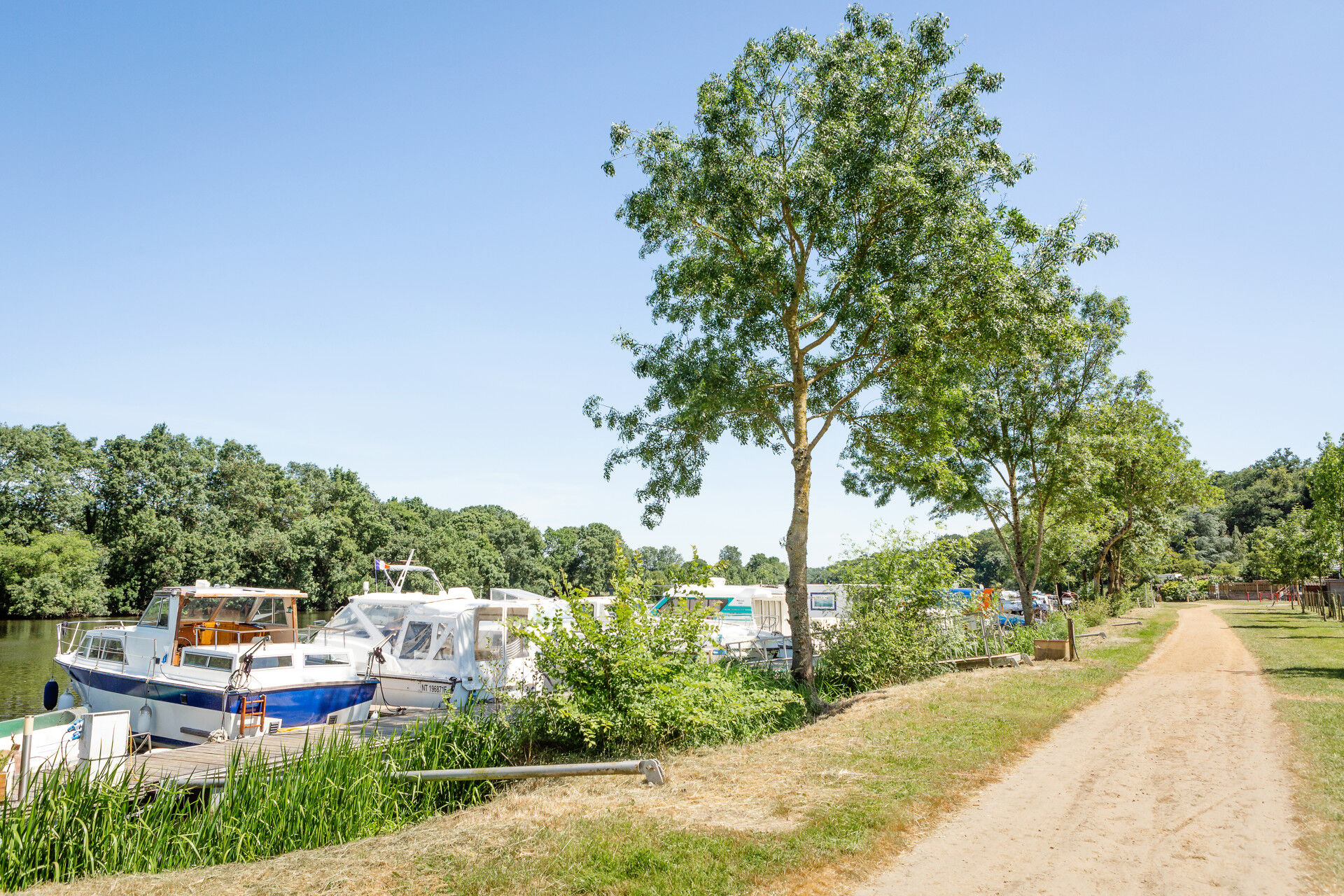
- The Mayenne towpath once allowed river boats to be pulled by horses or men. They were pulled up the river "à la halée".
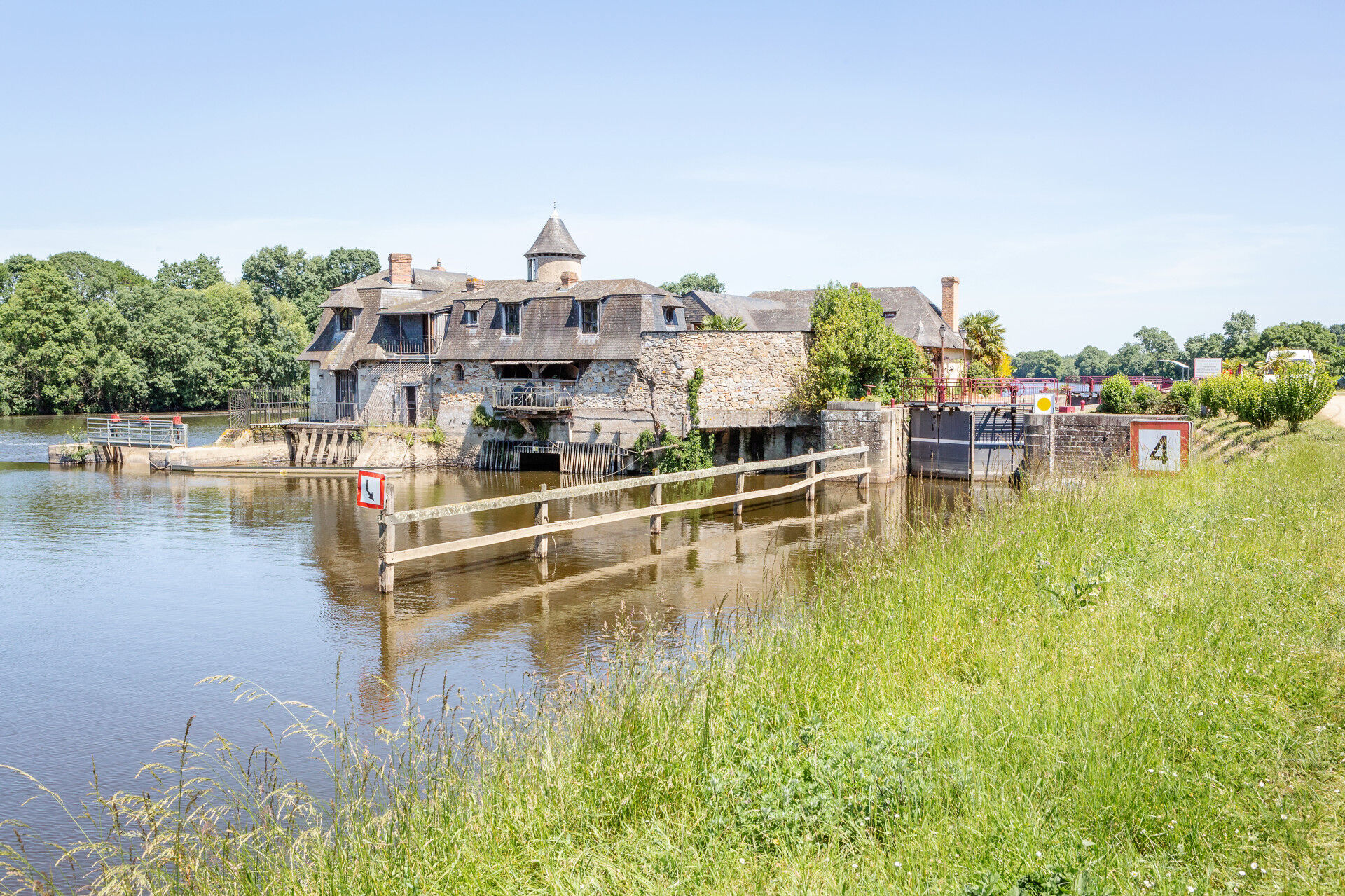
- Located on the right bank, the Roussière lock is a must for river tourists. With its beautiful architecture, it's a quiet, pleasant place to visit.
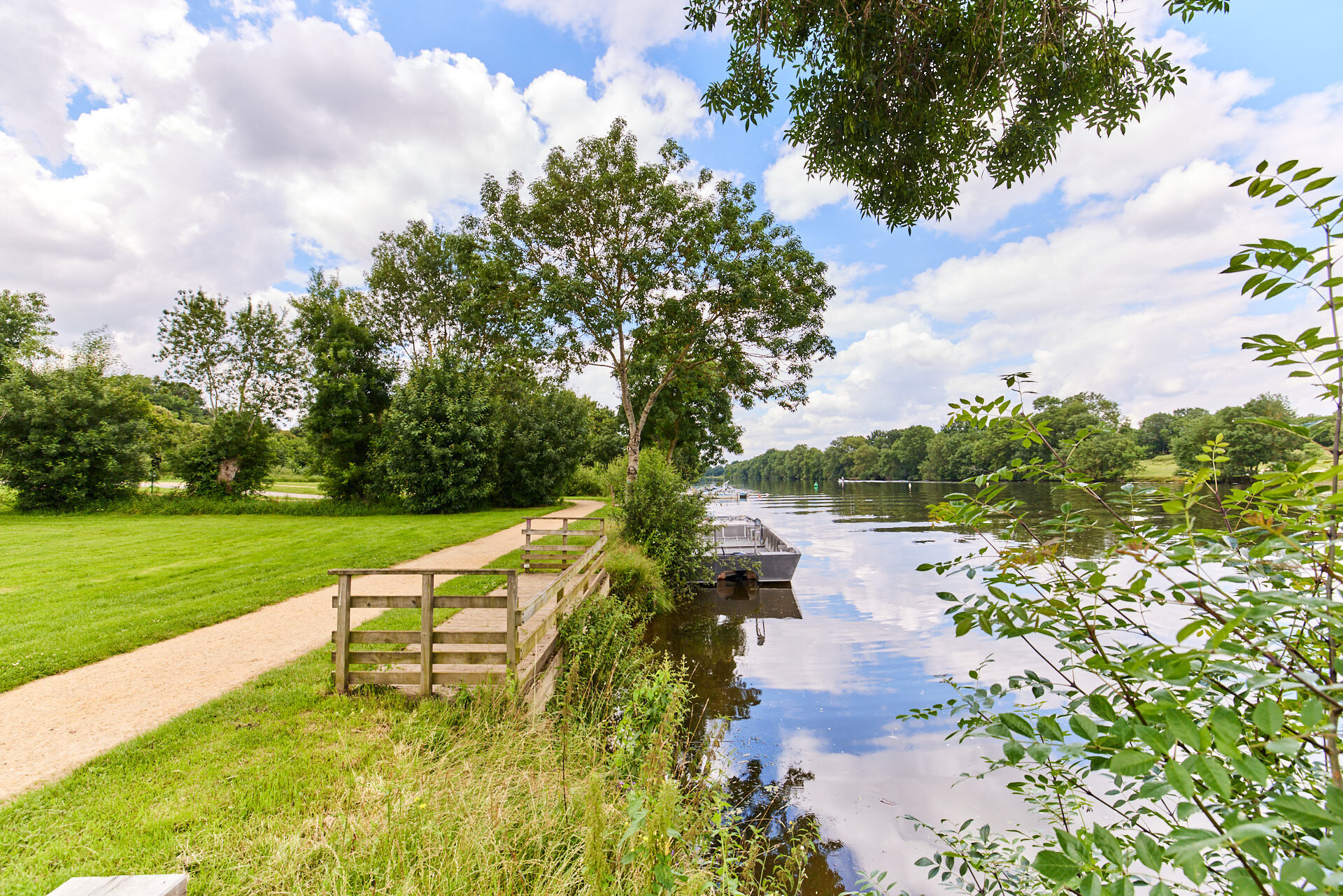
- The port of Pruillé welcomes many yachtsmen for gourmet stopovers at the guinguette or the inn, and also enables them to cross the Mayenne with its ferry "Le trait d'Union" powered by two paddlewheels.
Facilities available:
- Picnic tables opposite the Pruillé harbor
Departure points:
- Mairie, square des Treilles in Pruillé (Longuenée-en-Anjou)
- Place Éric Tabarly in la Membrolle-sur-Longuenée (Longuenée-en-Anjou)
Practical information :
- Trail not passable during periods of flooding.
Route marked in mauve.


Route marked in mauve.
Angers and its surroundings, rich in confluence landscapes, are sometimes subject to flood risks throughout the year. Some trails may be temporarily impassable, stay alert.
In case of emergency, dial 112.
Consider carpooling.
Parking near the starting point.
T1
Be vigilant, especially when crossing roads or when you are alongside them, but also at all times in nature. It can sometimes present dangerous passages, flooded areas, steep sites, or slippery paths.
Follow marked paths to avoid getting lost and to limit soil and natural habitat erosion. Pay attention to the markings and if in doubt, do not hesitate to retrace your steps.
Do not pick protected species and remain discreet to avoid disturbing wildlife.
Some paths are used by cyclists, be vigilant.
This route and the associated GPX track may under no circumstances be shared without mentioning Destination Angers.
Obľúbené výlety v okolí
-
4,0
Bucolic walk around Saint-Léger-de-Linières
svetloTuristika 8,11 km -
Lake, pond and tributary
svetloTuristika 18,5 km -
To the confluence of the Loire and the Maine
svetloTuristika 18,0 km -
Mayenne loop
svetloCyklistika 25,5 km -
4,0
The Aprilis trail
svetloTuristika 12,2 km -
The Loir Valley by Bike—including the ferry at La Roche Foulques
svetloCyklistika 32,0 km -
Banks of the Loir circuit
svetloTuristika 8,87 km -
The Sarthe towpath and sandpits
svetloTuristika 8,05 km -
The Mayenne river and meadows in the low valleys of Angers
svetloTuristika 17,4 km -
From Plessis-Bourré to the Lower Anjou Valleys
ťažkéTuristika 25,1 km
Turistika a stopovanie


Nenechajte si ujsť ponuky a inšpiráciu na ďalšiu dovolenku
Vaša e-mailová adresa bol pridaný do poštového zoznamu.





