




Kaunisharju route, mountain biking, Salla
The Kaunisharju route runs, as its name suggests, through a beautiful spruce-dominated forest partly inside Salla National Park. The route circles the edges of the steep-ridged Kaunisharju shaped by the...
The Kaunisharju route runs, as its name suggests, through a beautiful spruce-dominated forest partly inside Salla National Park. The route circles the edges of the steep-ridged Kaunisharju shaped by the Ice Age, crosses several forest brooks, and shows beautiful fell, swamp, and pond landscapes. According to the story, a hermit lived in hiding in the Kaunisharju area, following only his own footprints. The Kaunisharju route follows a wider ski trail, allowing a faster pace. There are two resting places along the way, the Kaunisharju lean-to and the Tunturilampi lean-to.
Route marking: Blue squares on trees, partly red squares on trees (part of the UKK route)
Recommended direction: clockwise

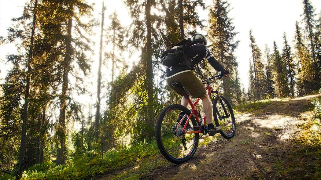
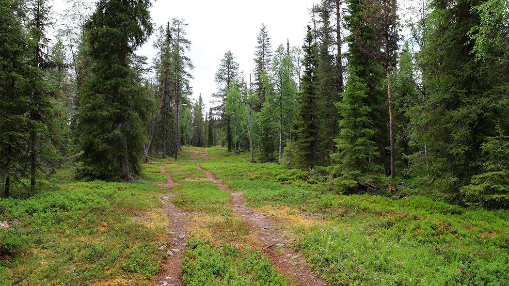
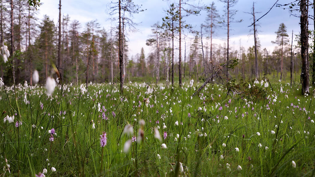


The Kaunisharju route can be started from the Tunturikeskus, resulting in a mountain bike route length of 11 km, or from the Salla Nature Center (Salla Wilderness Park, formerly Poropuisto), making the total length 11.6 km. The route description begins from Tunturikeskus.
The Kaunisharju route starts from Tunturikeskus, following the same route line at the beginning and end. From the starting point, take the left-hand path, which after some time goes uphill. At the top of the hill, turn right and continue downhill and through a brook ravine, then turn right again at the next intersection.
The route continues along the Salla-Kuusamo road, but deep in the forest. Shortly after crossing a gravel road, you enter Salla National Park. After some time, there is an intersection where you can turn right to the Salla Nature Center (Salla Wilderness Park, formerly Poropuisto) or continue left deeper into the old forests of the national park towards Kaunisharju lean-to. The first resting place on the route is the Kaunisharju lean-to, located in a brook and pond ravine.
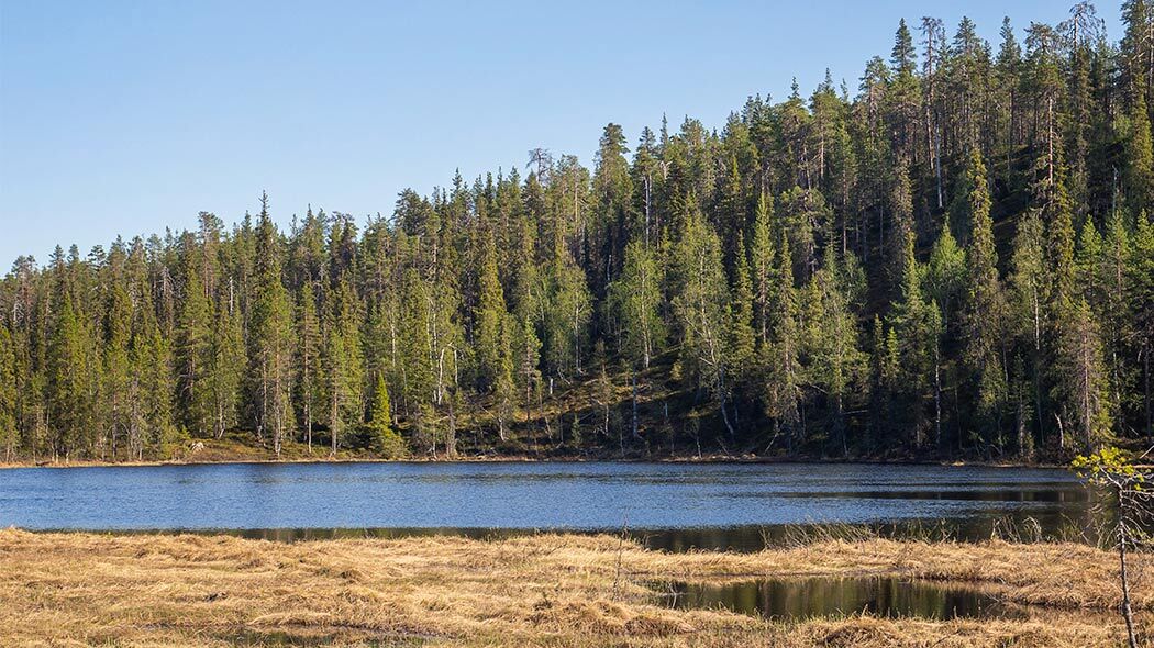
From the lean-to, the route starts to climb into the denser Kontiokangas old spruce forest, towards the second resting place, the Tunturilampi lean-to. The area belonging to Salla National Park ends just before the lean-to. From the shore of Tunturilampi, there are magnificent views towards Iso Pyhätunturi.
From the Tunturilampi lean-to, the route continues to the right as seen from the lean-to, along a wider ski track through an old spruce and pine forest. Soon you reach a route junction. The Kaunisharju route continues straight ahead from this junction. The next junction is at the maintenance road of Little Pyhätunturi. The Kaunisharju route continues straight ahead from the maintenance road intersection, after which there is immediately another junction where to the right turns the so-called Fitness Track ski trail. The Kaunisharju route goes left downhill past sturdy pines and candle spruces, and some birch trees can also be seen along the route. The route continues along the winter-lit ski trail. The next junction is near the power line, where the route again joins the section traveled at the beginning. The route continues straight ahead and returns along the same path as the start.
Áno
Mountain bike and helmet. Weather-appropriate cycling gear, i.e. weather-protective clothing, spare clothes, map, charged phone, bike maintenance and repair tools, and enough drink and food. There are natural water points along the route, but their quality is not tested; water must always be boiled before use. The route can be damp in places. For making fire, carry matches, and for the toilet, your own toilet paper is needed.
Choose the route considering your fitness, skills, and conditions.
Follow signposts and markings, and always keep a map with you.
Prepare for weather changes, cold, and rain, even winter conditions in spring and autumn, although it might be warm when starting.
Download the free 112 Finland app to your phone and activate it before going on the trip. Note that the battery drains quickly in cold weather.
Salla National Park is located in Eastern Lapland, about 150 km from Rovaniemi to Salla and about 65 km from Kemijärvi to Salla. The nearest airport is located in Rovaniemi and the railway station in Kemijärvi.
The nearest airports are Kuusamo (1.5 h) and Rovaniemi (2 h). There are airport bus connections to Salla from almost every flight from Kuusamo.
The nearest railway station is in Kemijärvi (1 h). From the night train, there is a bus connection to Salla from Monday to Saturday.
Free parking at the starting area.
Most of the route follows a wide ski trail, in winter the route has a lit ski trail. In some places the path is uneven and there are a few steeper sections mainly between Kaunisharju - Salla Nature Center (formerly Poropuisto) - Sallatunturi. There are also narrower long stretches. The observation point for Kaunisharju's natural phenomena is not on the route but can be found along the Salla-Kuusamo road, at the top of the ridge. There may be pedestrians on the route, who cyclists, being faster, must yield to.
Check the national park rules and instructions Luontoon.fi/salla/ohjeetjasaannot
Free hiking map Retkikartta.fi
Hiking instructions, rules, and tips Luontoon.fi/retkeilynabc
From the shore of Tunturilampi, there are magnificent views towards Iso Pyhätunturi.
Obľúbené výlety v okolí
-
Sky-Seeker's Path, Salla
strednáTuristika 4,63 km -
Sky Seeker's Trail, snowshoeing, Salla
Snežnice 4,50 km -
Topsakantaival (UKK route Hautajärvi - Sallatunturi), Salla
ťažkéTuristika 44,5 km -
Kolmiloukkonen loop, Salla
Turistika 3,72 km -
Kaunisharju winter walking route, Salla
Zimná turistika 2,78 km -
Ruuhitunturi circuit, Salla
ťažkéTuristika 13,7 km -
Kaunisharju route, Salla
Turistika 11,0 km -
Winter walking route to Ruuhitunturi, Salla
Zimná turistika 13,1 km -
From the fell to the church and back route, Salla
Turistika 8,97 km -
Pahanojankuru route, Salla
strednáTuristika 15,1 km
Turistika a stopovanie


Nenechajte si ujsť ponuky a inšpiráciu na ďalšiu dovolenku
Vaša e-mailová adresa bol pridaný do poštového zoznamu.





