


Paavon Polku nature trail 2.7 km, Sodankylä

Paavon polku is a charming circular route located nearby river Orajoki, ten kilometers from Sodankylä center. The path goes through varied forest landscapes, sometimes along the river and the edge of a...
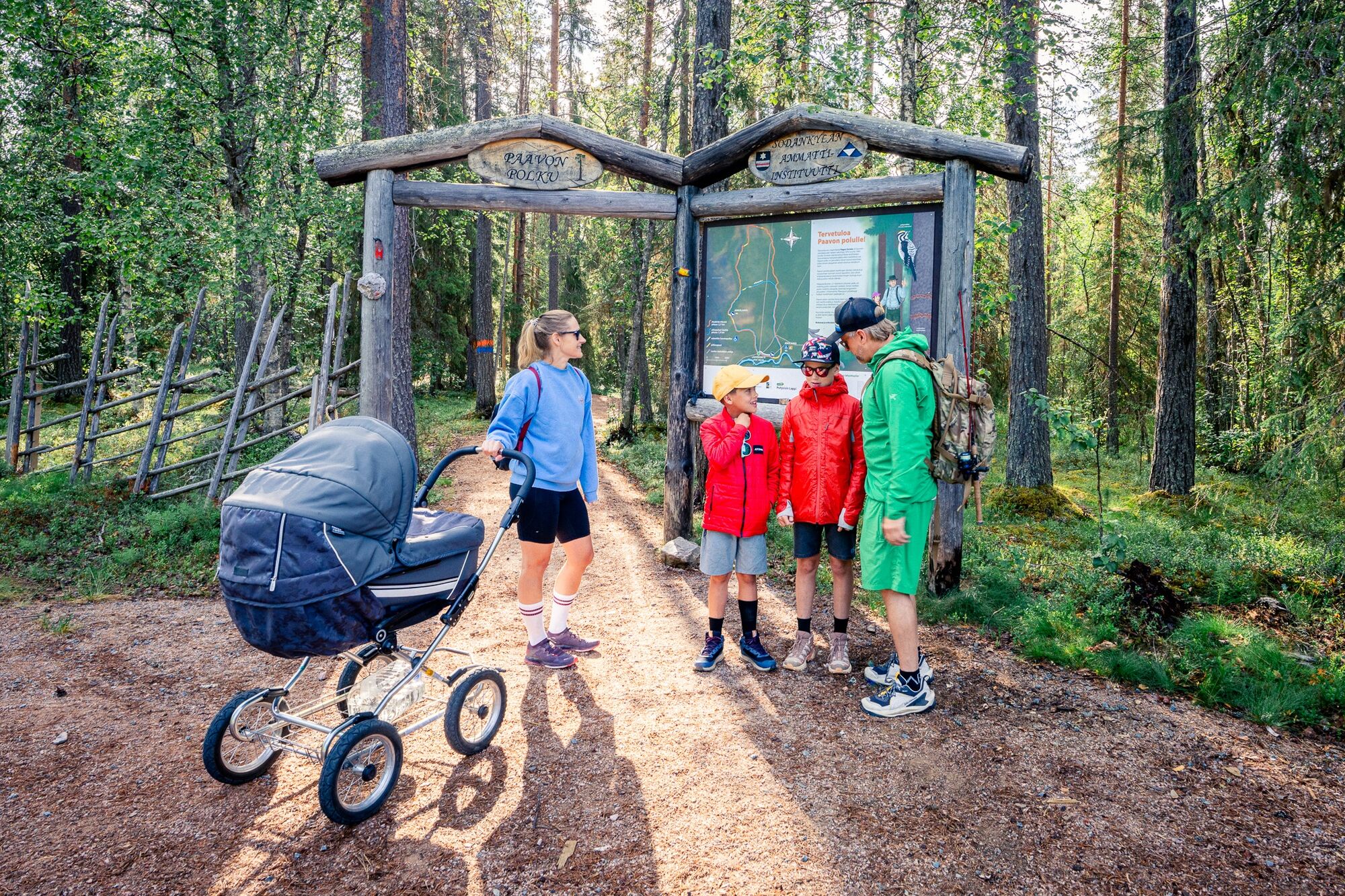
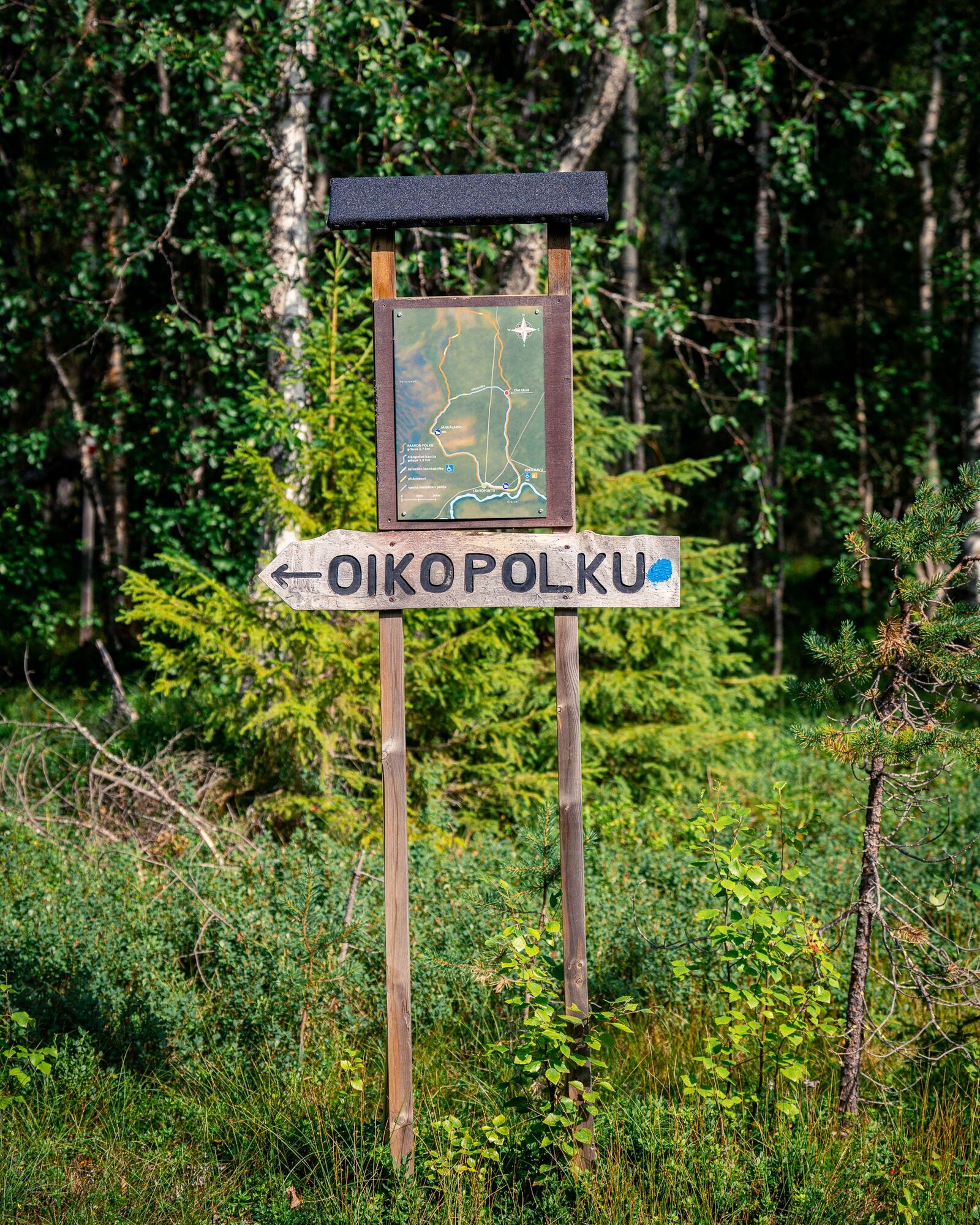
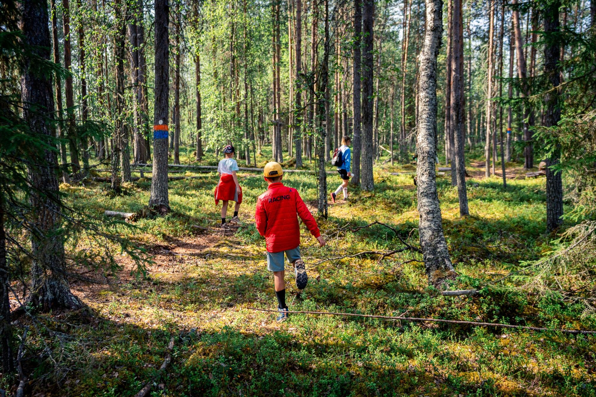
The route is mainly passable in snow-free conditions and is not maintained during winter. The trail is well marked and can be completed either entirely by following orange painted markers or shortened by following blue painted markers. The shortcut reduces the total distance by just under a kilometer. The starting section to Jokilaavu is also suitable for wheelchair users and those with strollers.
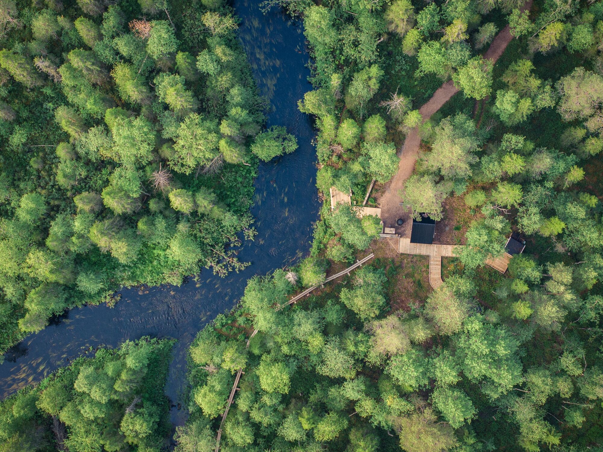
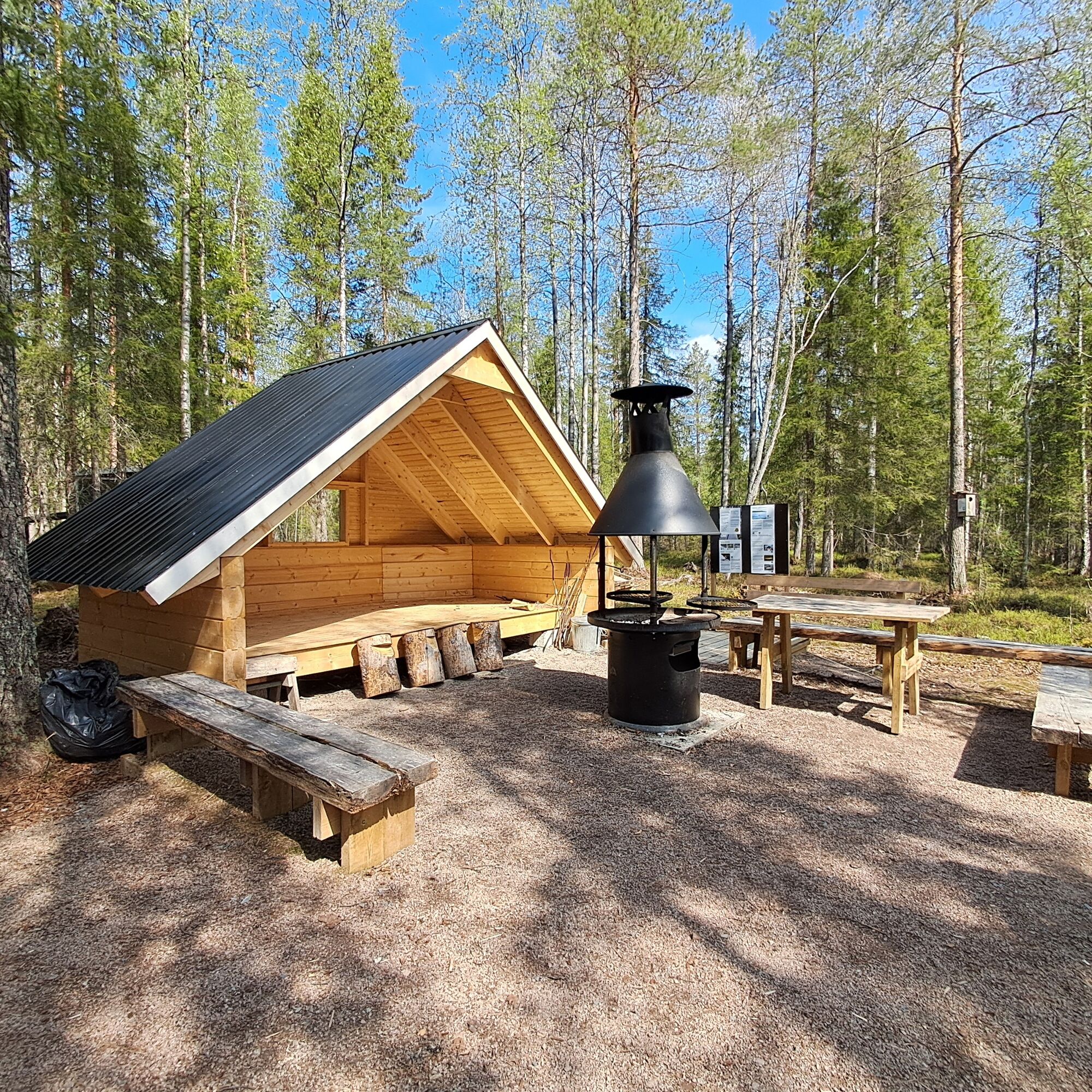
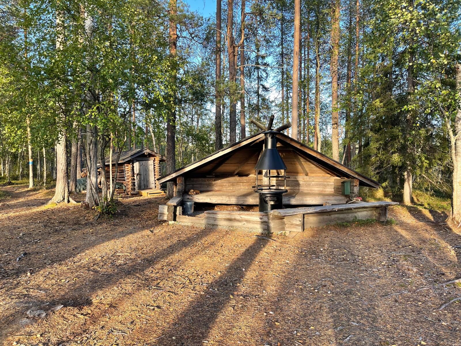
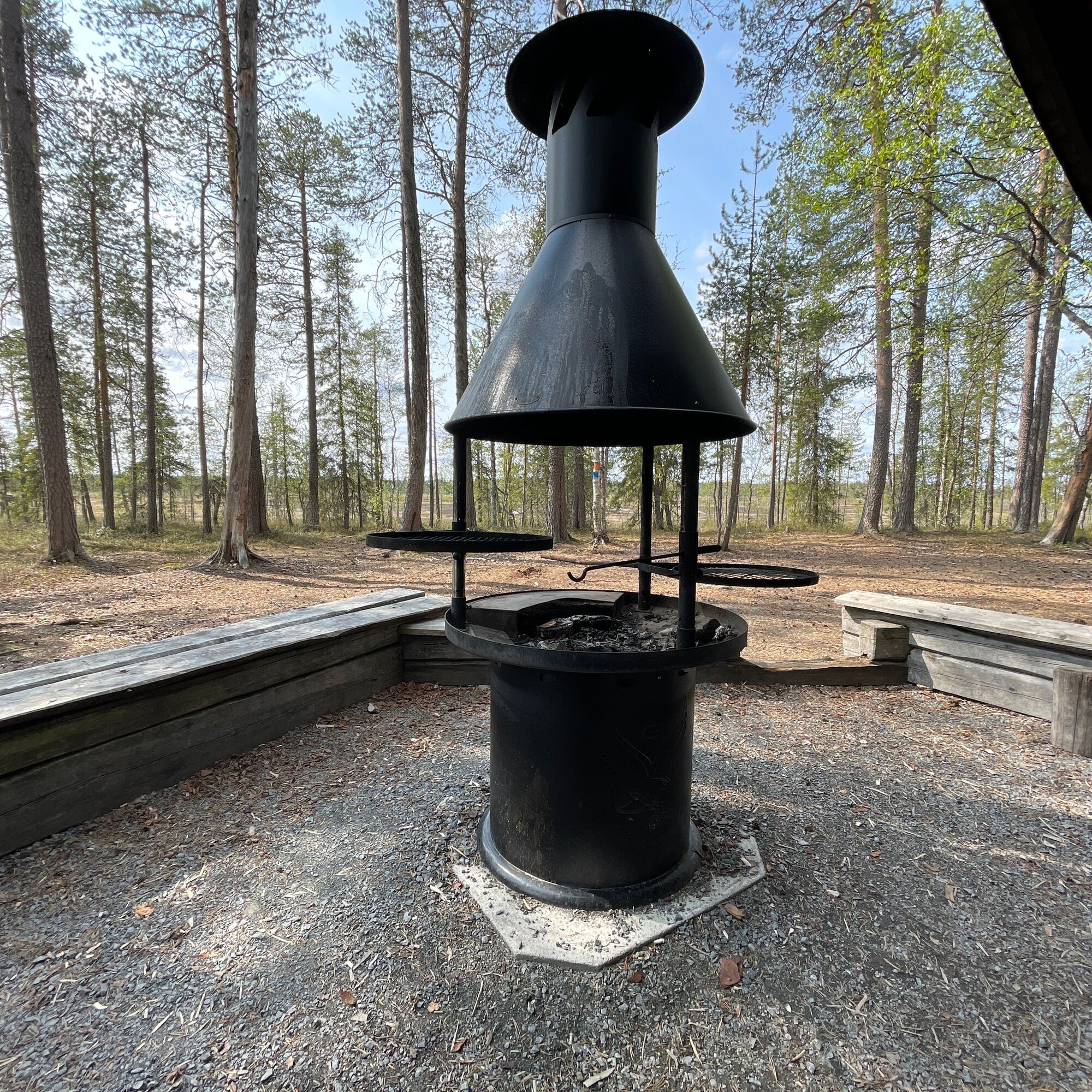
Along the route, there are two resting places – the first right at the beginning and the second near the end at Halssiaapa. Both resting places have a fire pit and a toilet. Information boards about the local nature, forest management, and wildlife can be found along the path.

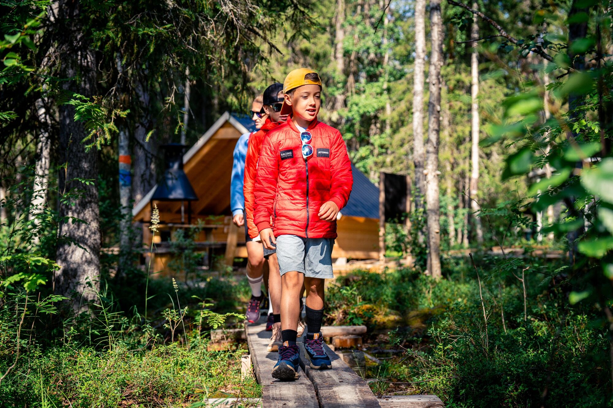
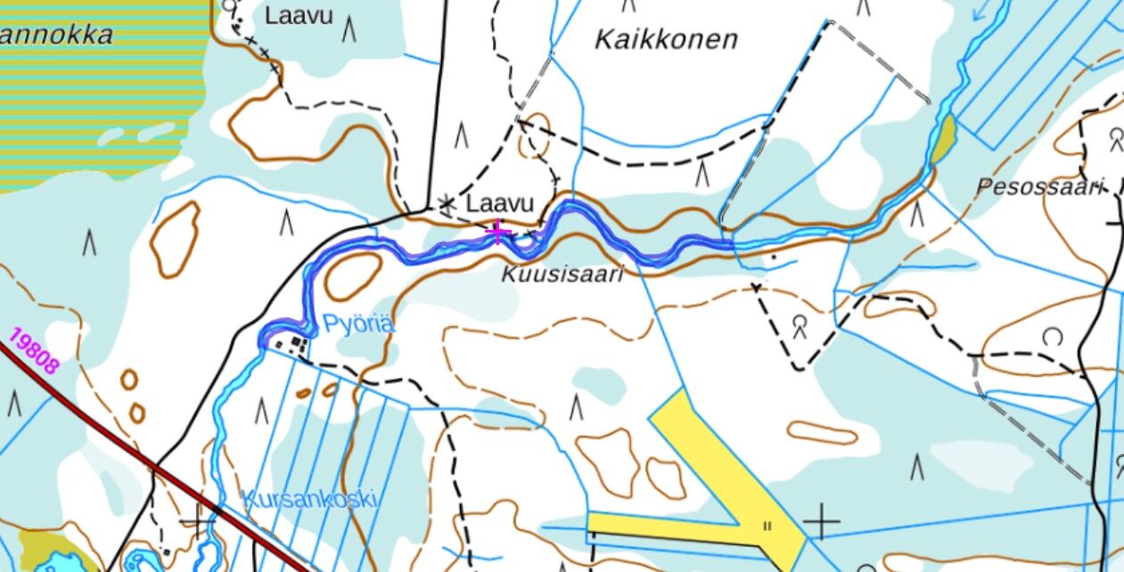
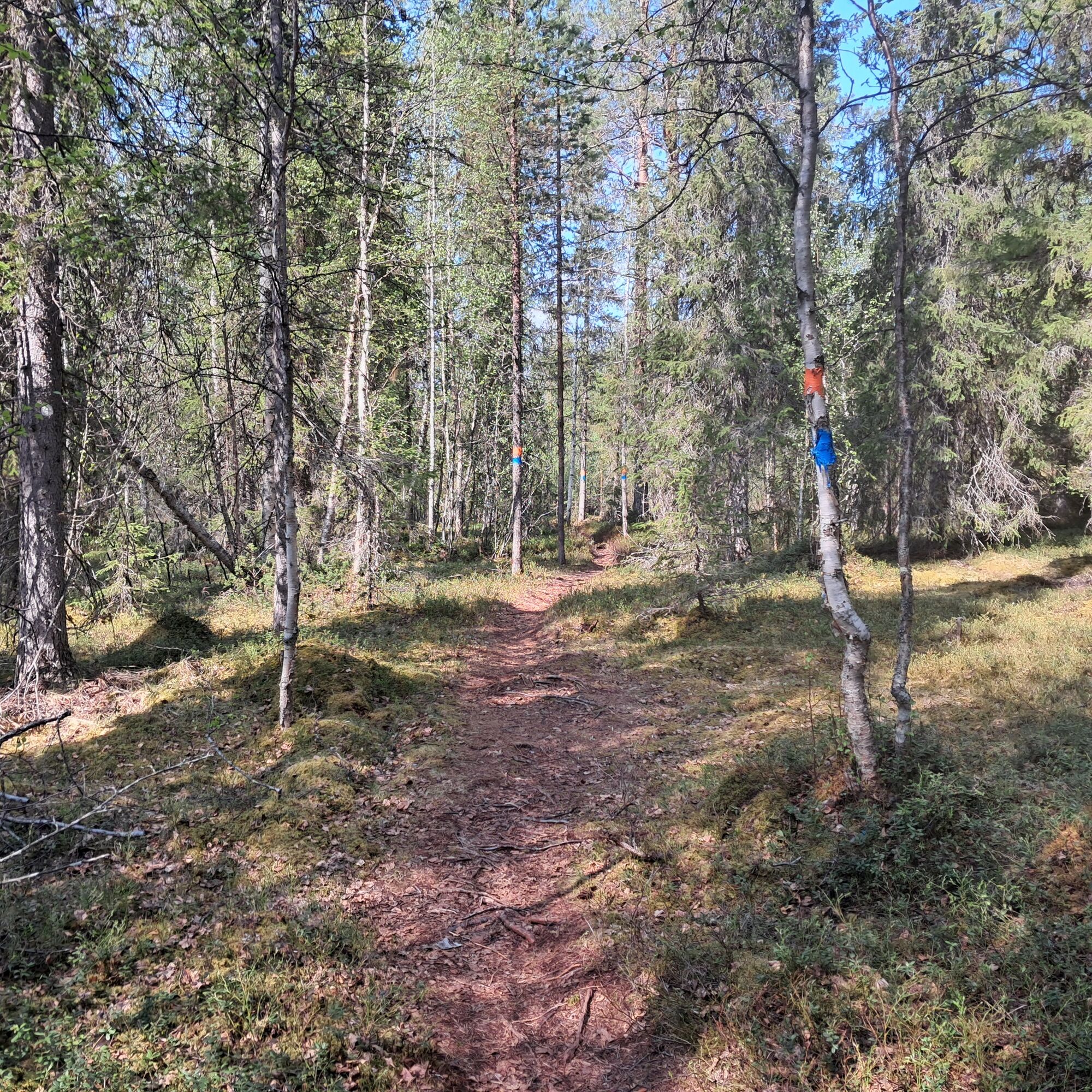
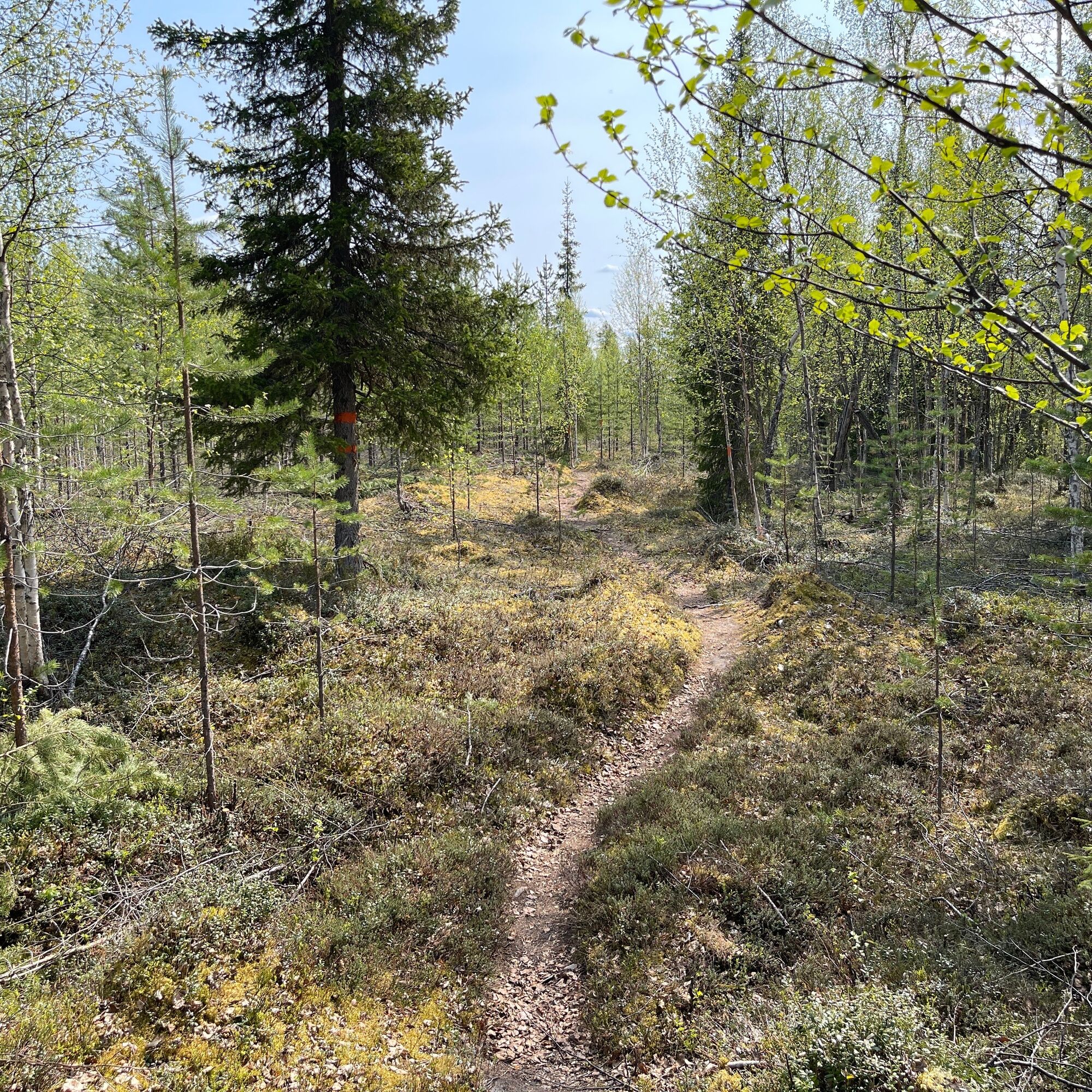
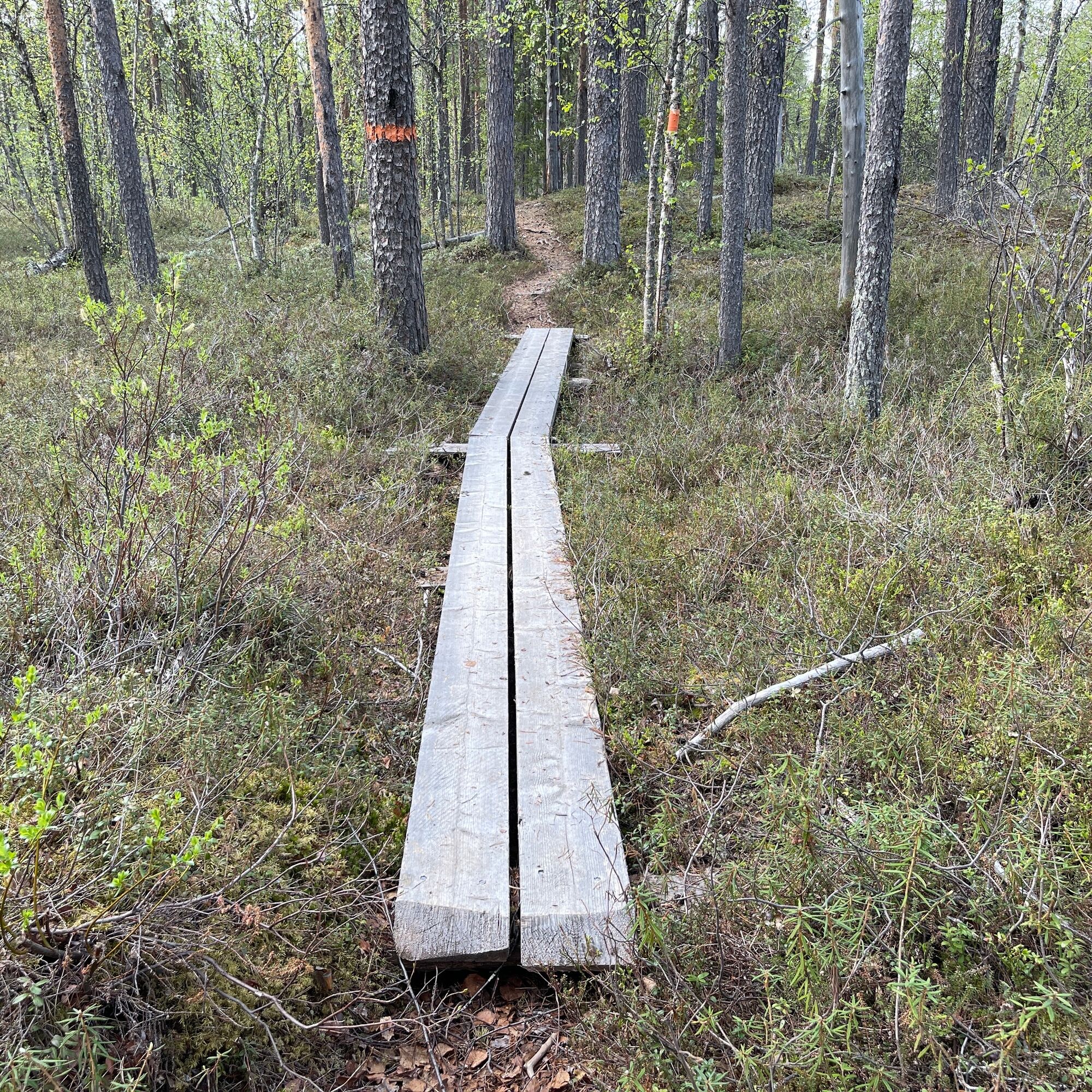
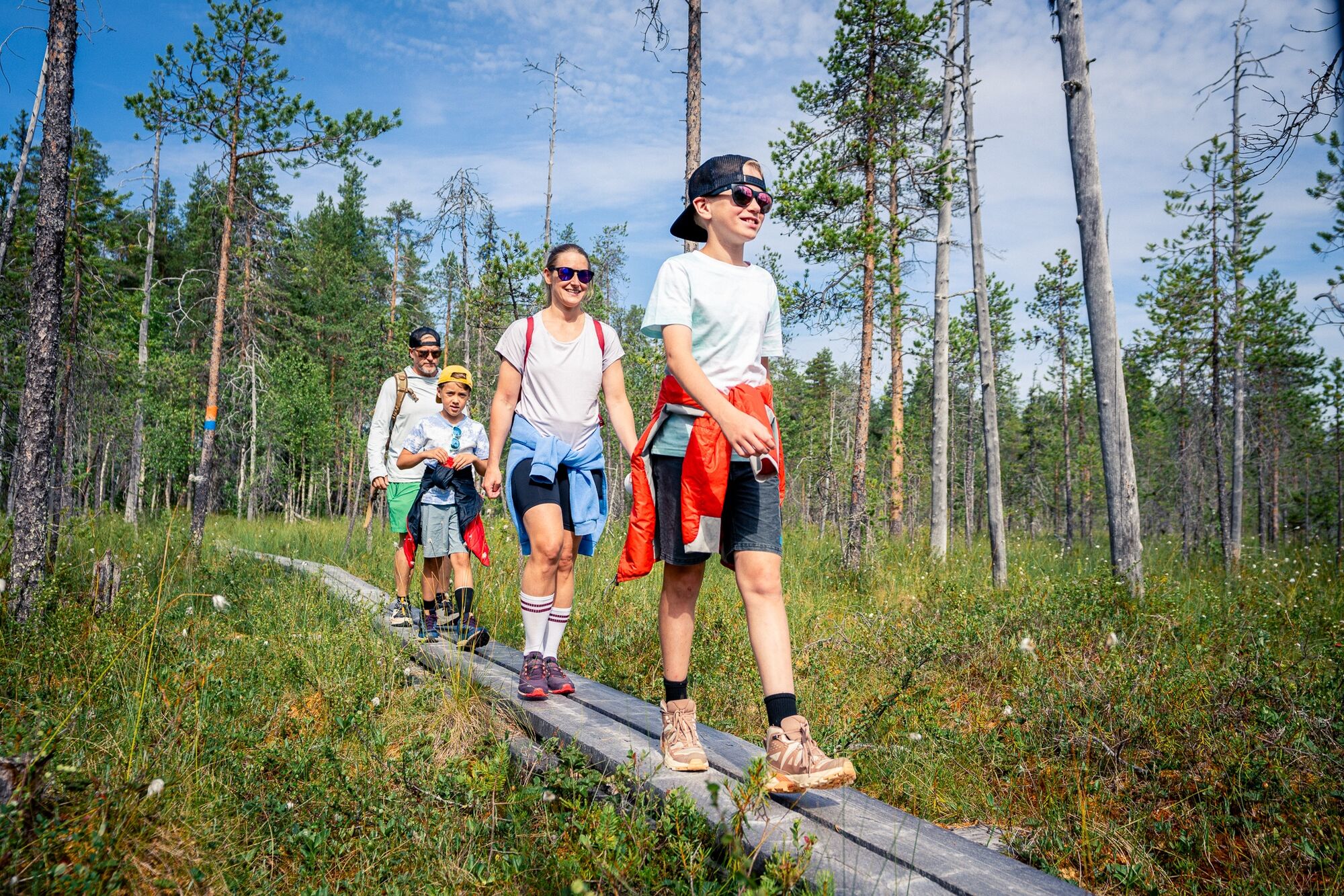

After Jokilaavu, the route narrows and continues along boardwalks into the forest. The path is sometimes narrow and tree roots require more careful steps than before. When the route approaches a gravel road crossing, be careful. Especially in mid-summer when deciduous trees are lush, the trail markings can be challenging to spot.
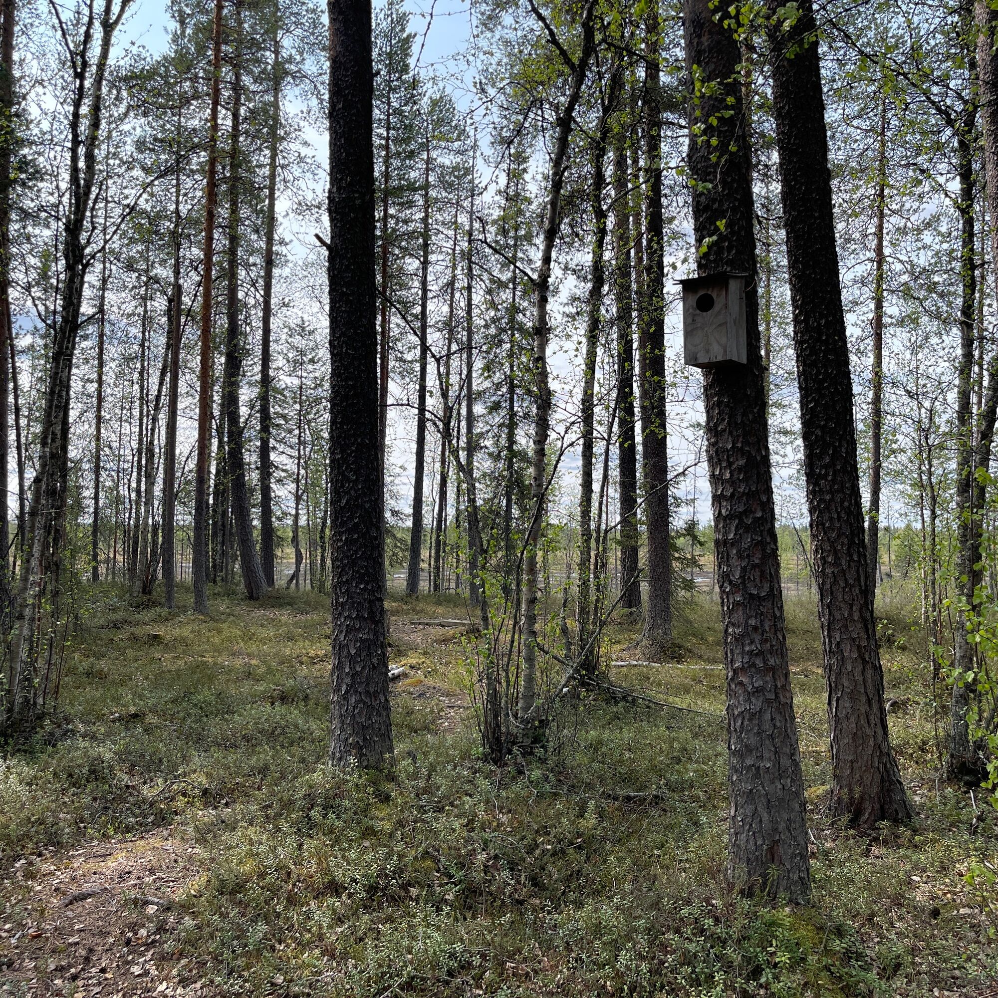
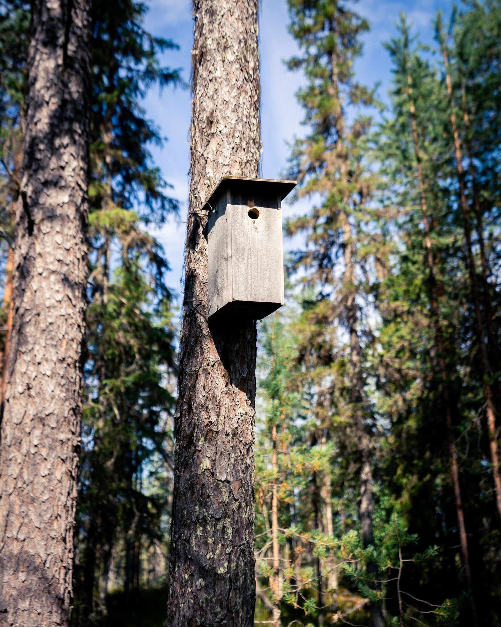
You will reach a junction where you can choose a shorter shortcut of just under two kilometers instead of the full loop. The longer route takes you again to varied landscapes towards the Meteorological Institute's research station. On this section, you also travel through pleasant ridge landscapes and see a bird feeding station with somewhat unusual snacks. After this, the shortcut rejoins the main route.
Both the longer and shorter routes lead to Jänkalaavu, where you can take a break in an open forest landscape by the edge of a bog. After Jänkalaavu, you continue along boardwalks over a short bog section and soon arrive back at the same place you started from.
The route is marked in the terrain both with signposts and painted markers. By following the orange painted markers, you cover the entire Paavon polku. If you want a slightly shorter trip, follow the blue painted markers (shortcut). The recommended direction to travel the route is counter-clockwise.
Áno
Áno
Directions from Sodankylä center (Jäämerentie)
Drive south on Jäämerentie until you reach the intersection with Kemijärventie. Turn left towards Kemijärvi. Drive about one kilometer until you reach the intersection with Orajärventie. Turn right and continue along Orajärventie for about 8 kilometers until you see the sign "Paavon polku" on the left side of the road. Turn left and drive about 600 meters forward until you reach the Paavon polku parking area.
Note! The road leading to the starting point of the path may be in poor condition especially in spring and autumn. Drive carefully!
You cannot reach the starting point of Paavon polku by public transport; the distance from the Sodankylä bus station to the starting point is about 10 kilometers.
A free parking area at the starting point of the path that fits more than ten cars.
Fishing with lures near Jokilaavu is allowed but requires a permit – if you have paid the fishing management fee and obtained the necessary lure permit for the area, we wish you tight lines. More information about the required permits can be found here: 2404 Sodankylä, state owned waters
Obľúbené výlety v okolí
-
Pappilanniemi nature trail 1.8 km | Sodankylä
svetloTematická trasa 1,73 km -
Kitinen and Jeesiö riverside route 4,5 km | Sodankylä
svetloTuristika 4,49 km -
Jupukka Trail Center, Aappa helppo alamäkipyöräilyreitti
svetloMountainbike 0,39 km -
Hööri Trail Center, Heepere nousureitti
svetloMountainbike 0,89 km -
Hööri Trail Center, Haipakka keskivaativa alamäkipyöräilyreitti
strednáMountainbike 0,69 km -
Kommatti XC-kesäpyöräilyreitti
strednáMountainbike 6,12 km -
Kommatti Skillpark
svetloMountainbike 0,41 km -
Jupukka Trail Center, Muikia helppo alamäkipyöräilyreitti
svetloMountainbike 0,45 km -
Jupukka Trail Center, Vilikeri helppo alamäkipyöräilyreitti
svetloMountainbike 0,40 km -
Hööri Trail Center, Hulumi keskivaativa alamäkipyöräilyreitti
strednáMountainbike 0,66 km

Turistika a stopovanie


Nenechajte si ujsť ponuky a inšpiráciu na ďalšiu dovolenku
Vaša e-mailová adresa bol pridaný do poštového zoznamu.


