




Nuolivaara nature trail 5 km | Kelujärvi, Sodankylä
The Nuolivaara nature trail is a hidden gem of Sodankylä, inviting you to walk through old forests and rugged rocks. The route ascends the hill, offering views across three municipalities: Sodankylä, Pelkosenniemi,...
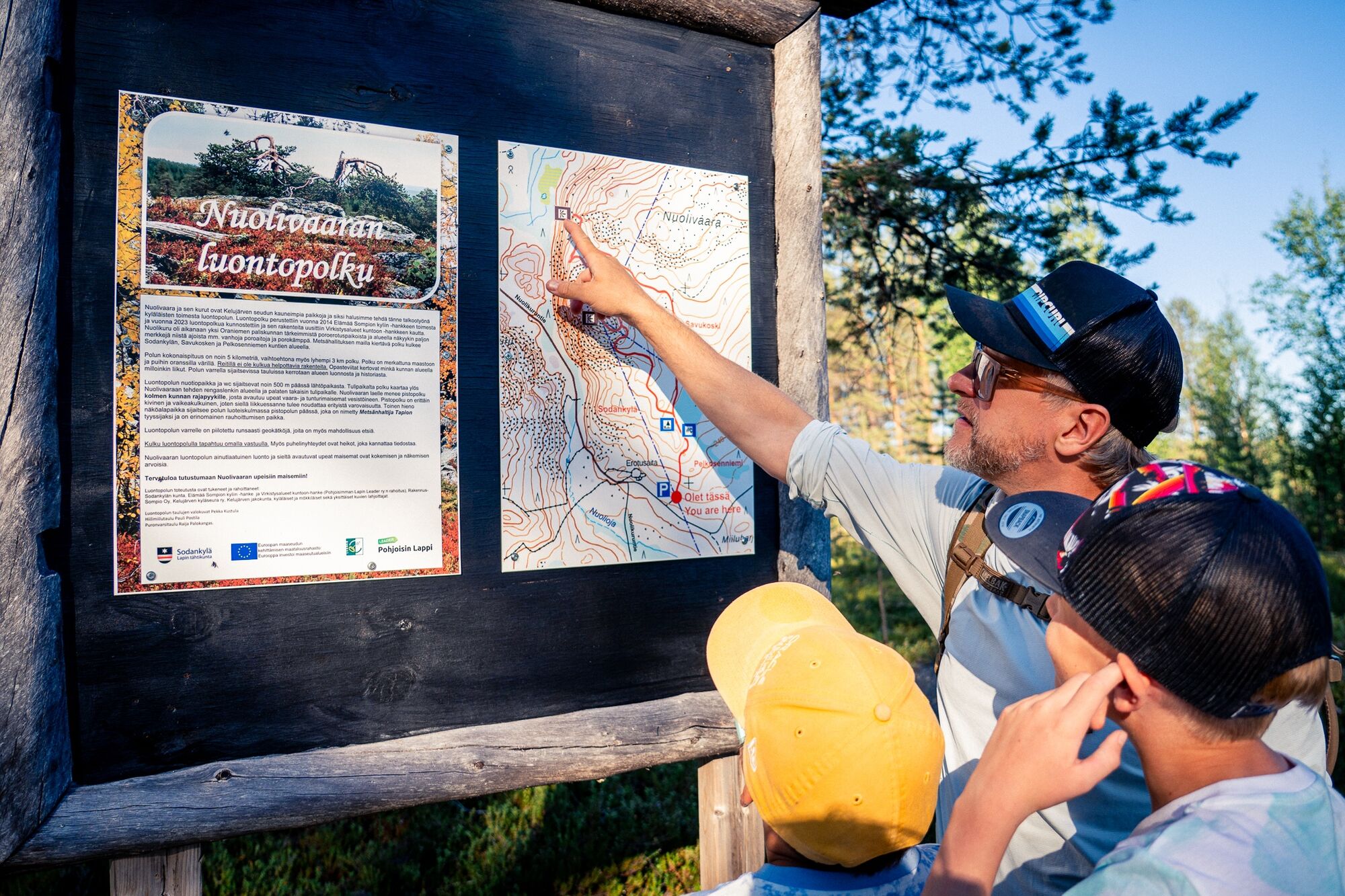
About five kilometers in length, the route provides true natural tranquility and also varied terrain. The route also has a shortcut allowing you to shorten the path to about three kilometers. There are no structures to facilitate walking on the path, making it most suitable for hikers in good basic condition; particularly, the rocky and steep ascent to the three municipalities boundary marker requires attentiveness.
The route is well marked and information boards along the way tell about the nature, animals, and history of the area (unfortunately only in finnish language). The route passes both at the start and end near a shelter, where you can stop to enjoy either snacks or silence.
Note that there may be areas with poor mobile phone reception.


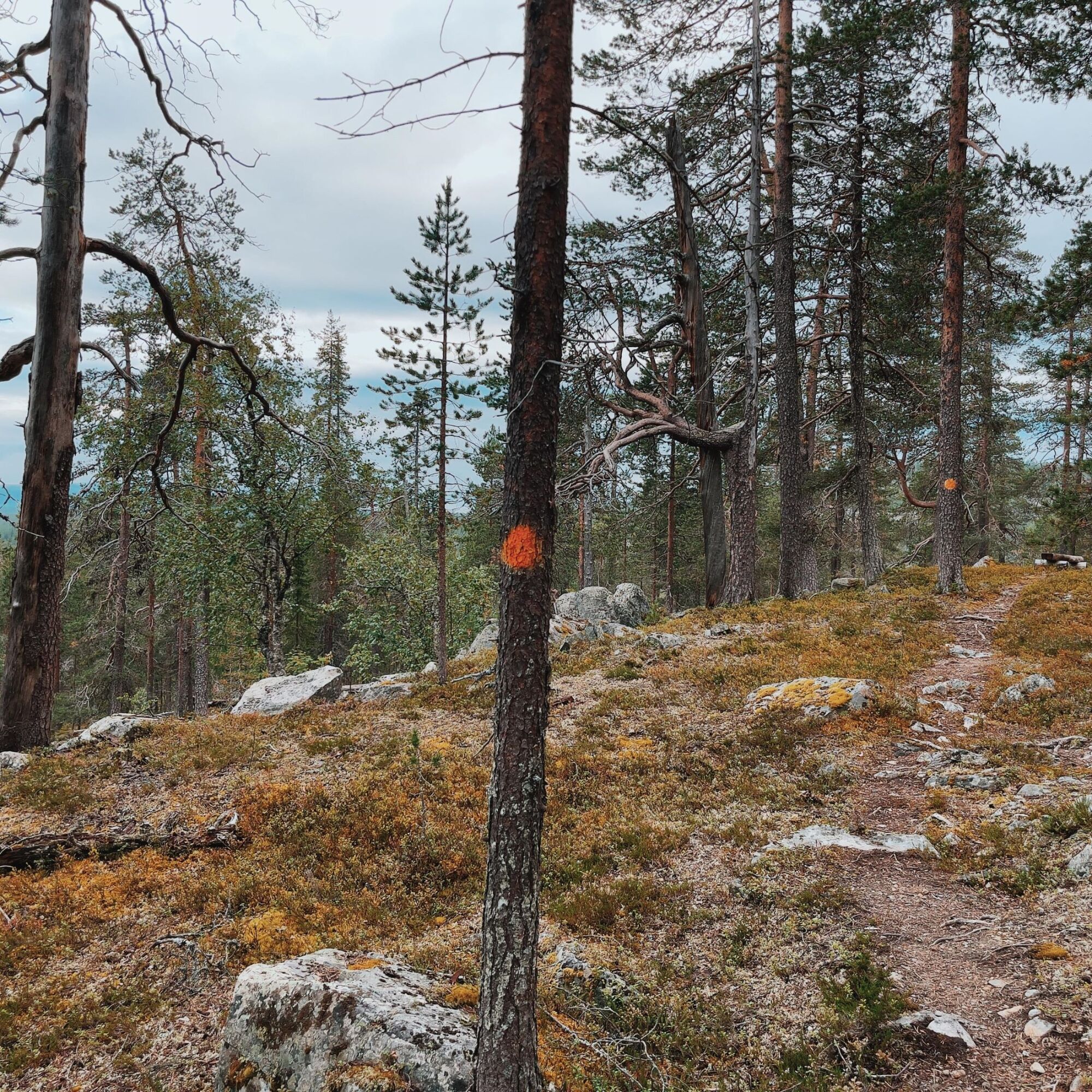
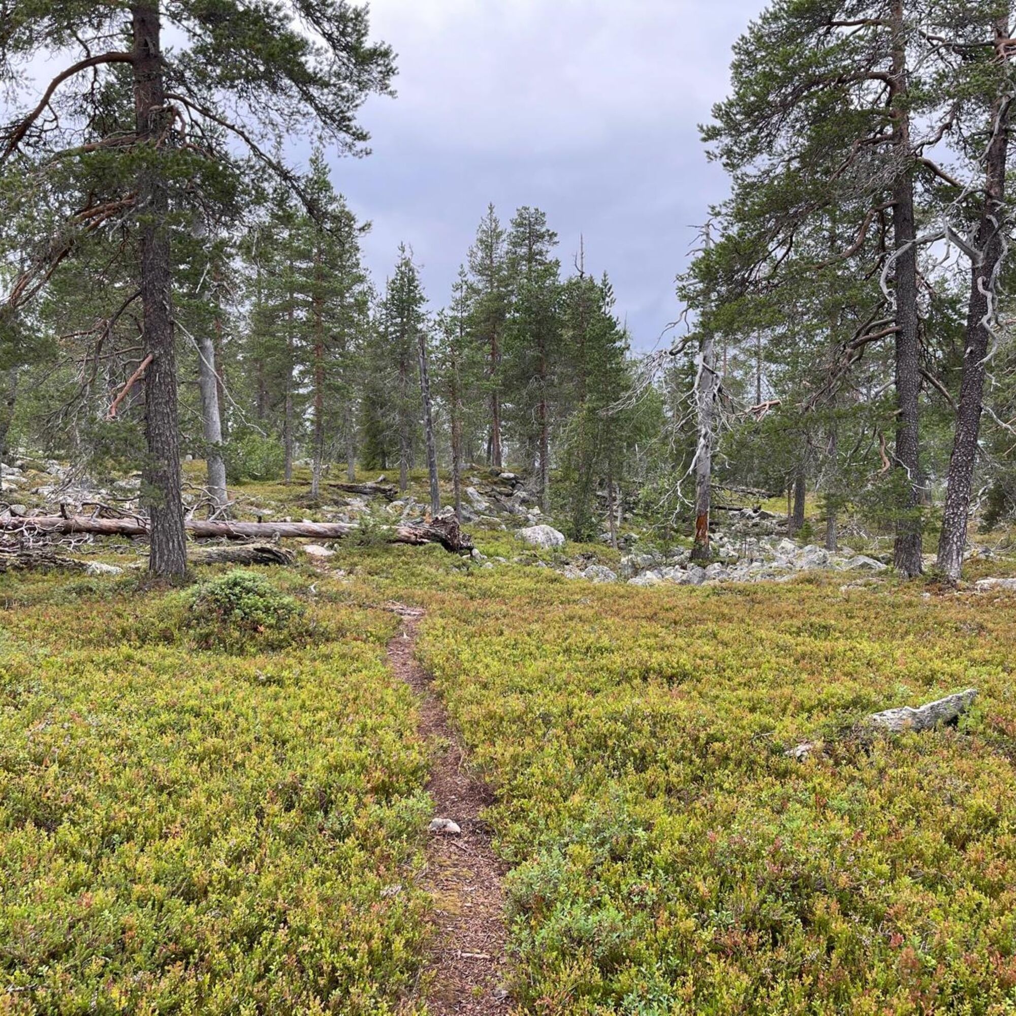
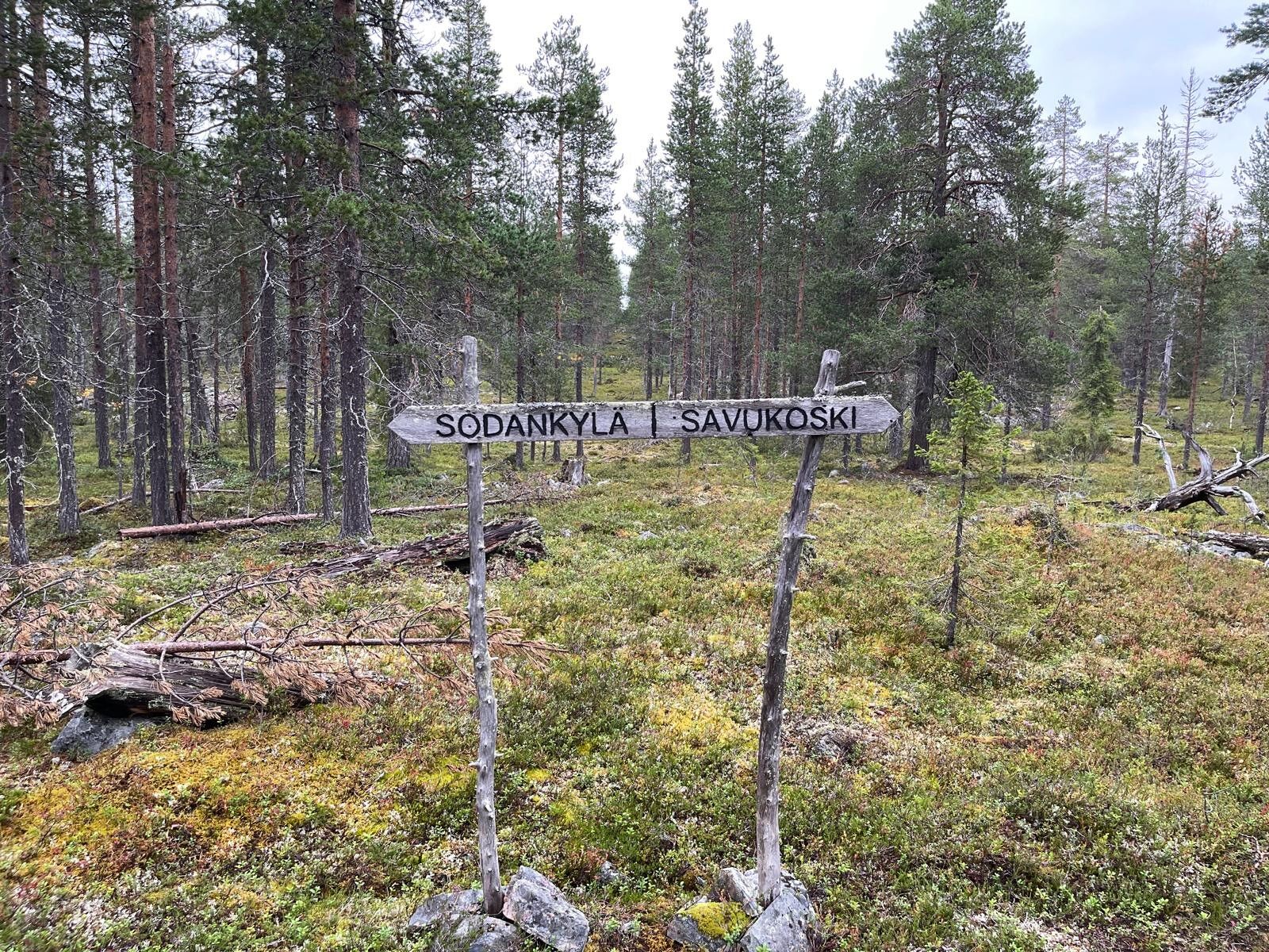
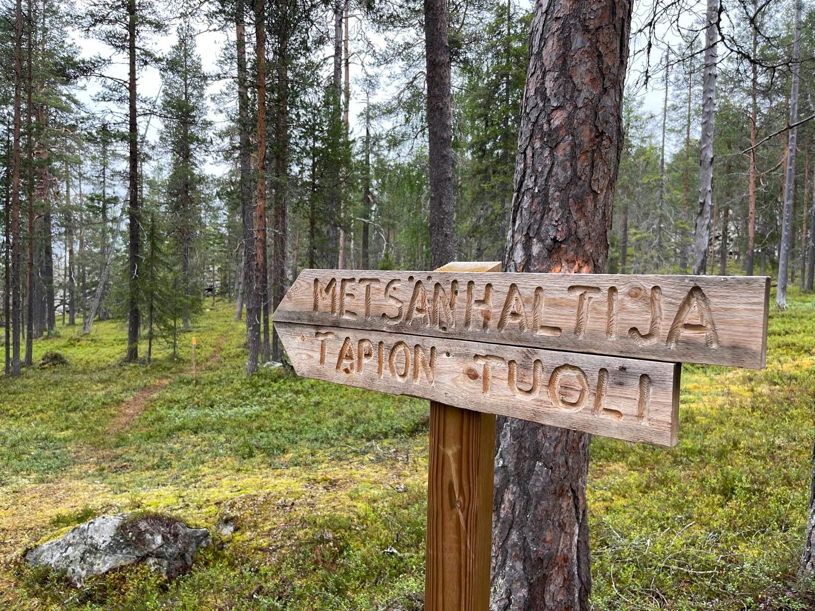
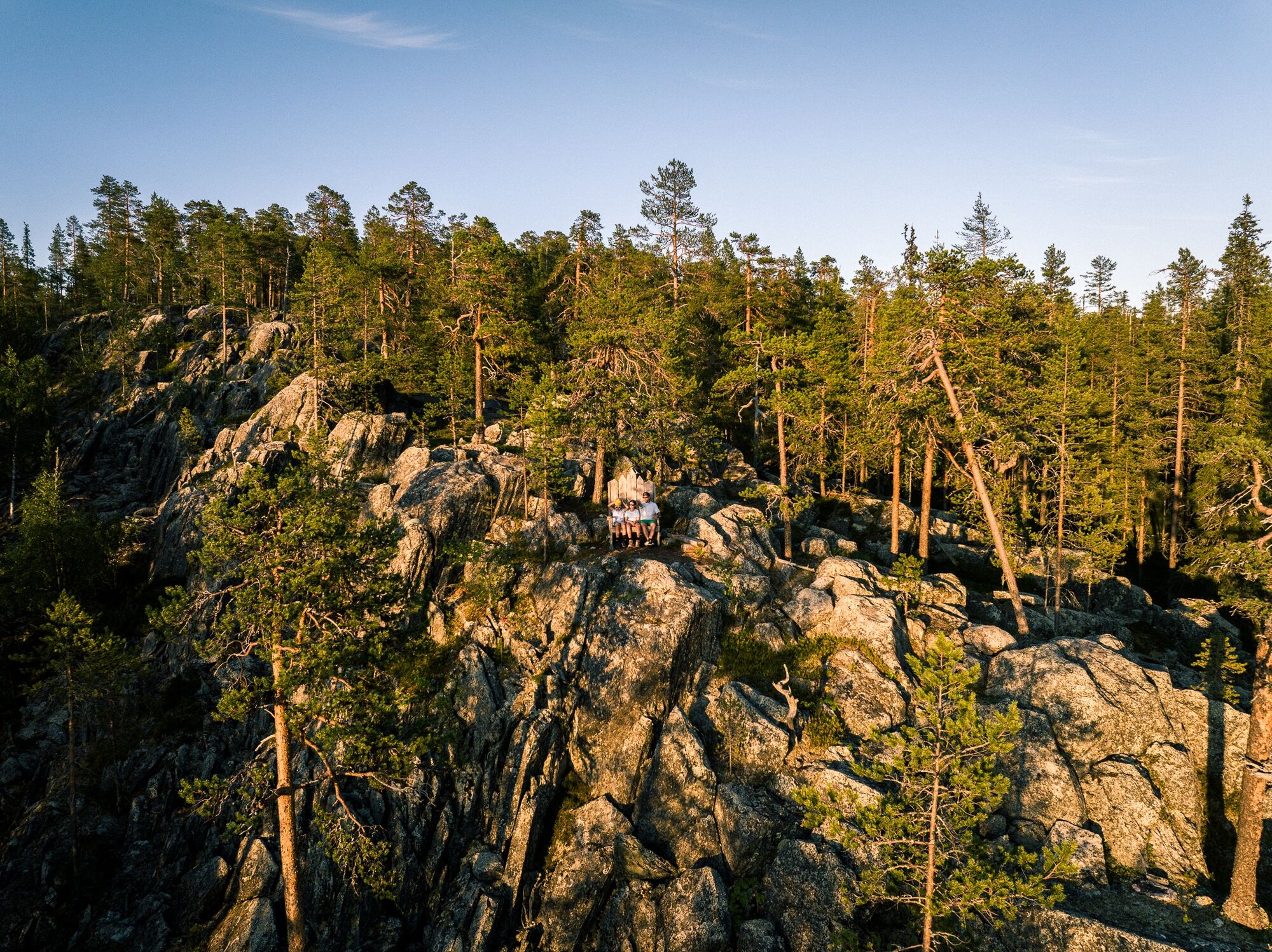
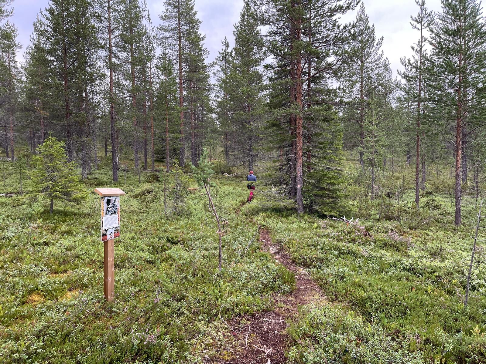
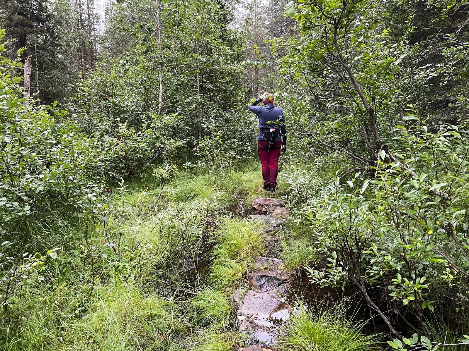
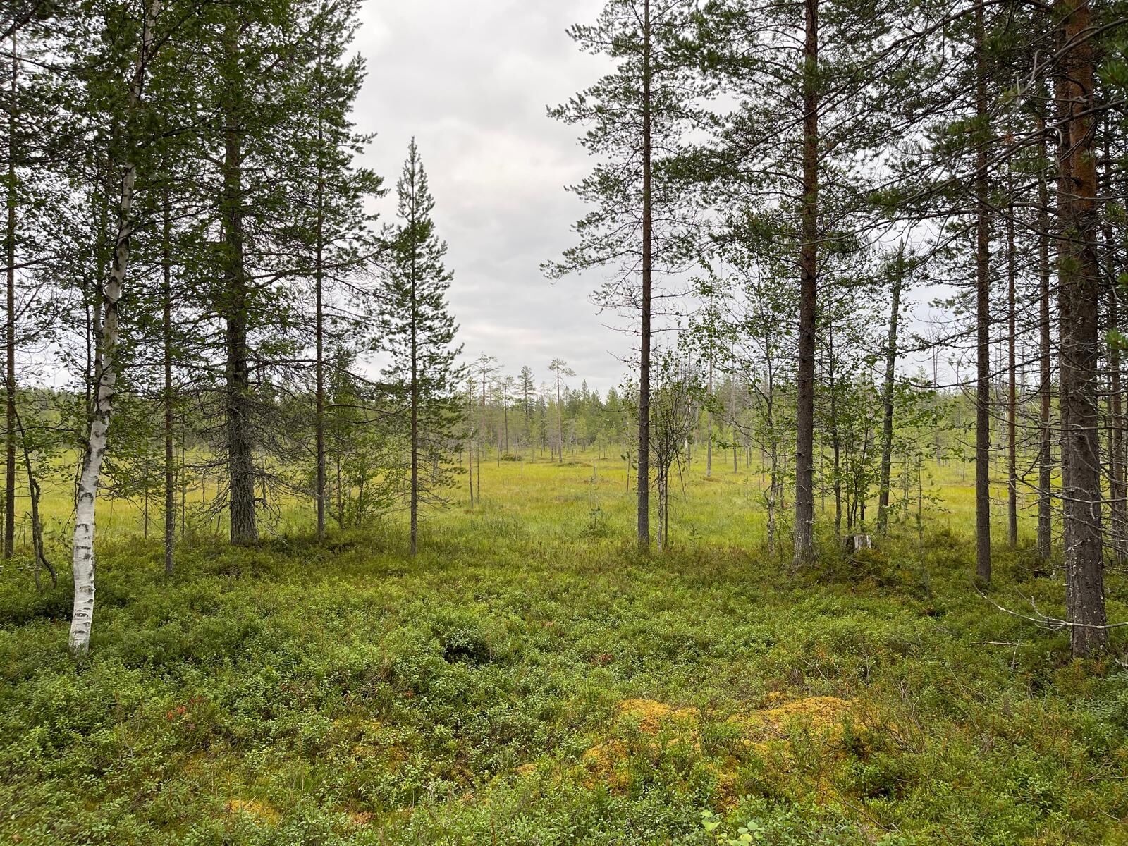
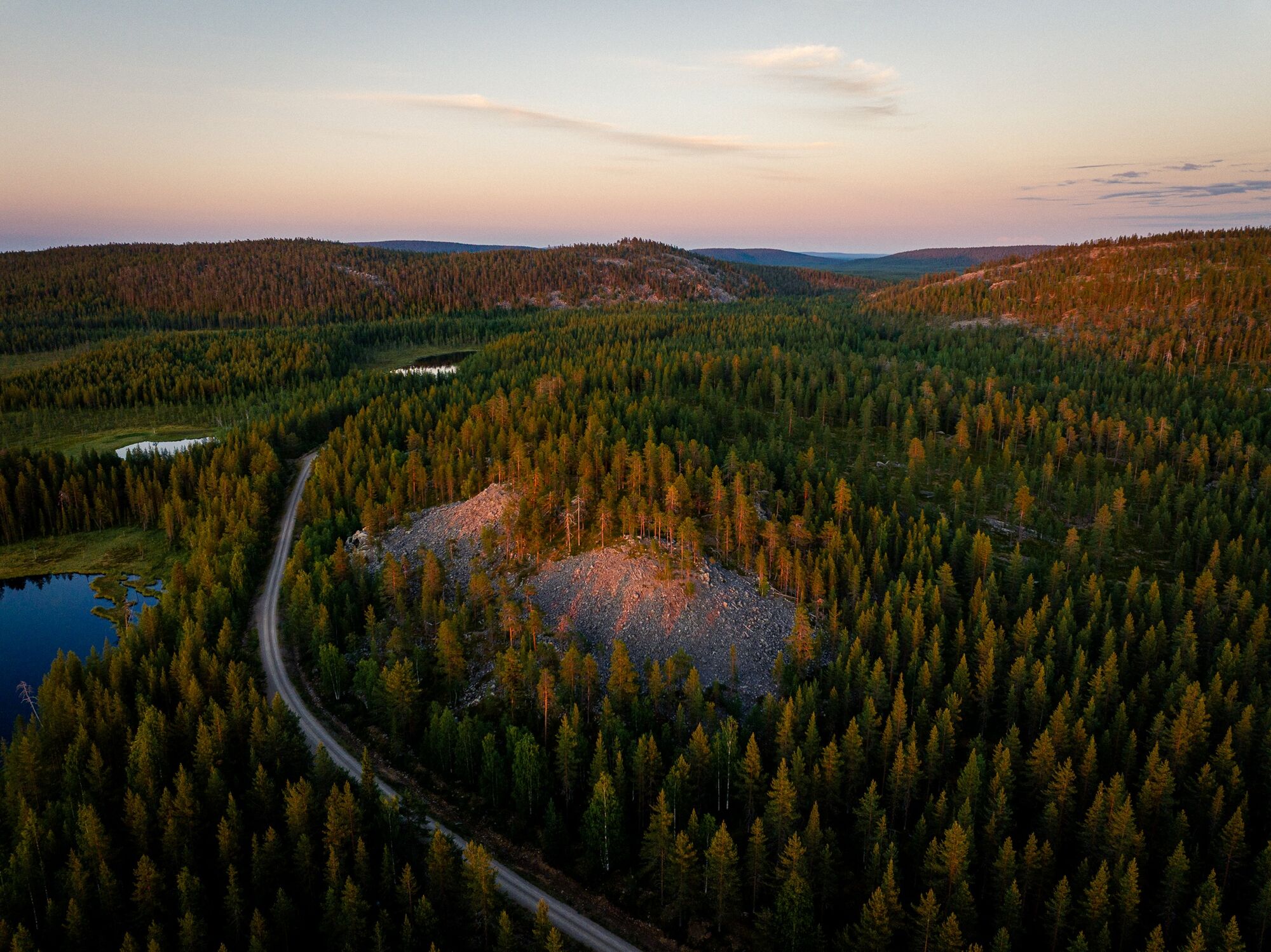

Now the path takes you to another resting spot and continues forward through a still forested environment towards the next crossing. From the crossing, you can head towards Metsänhaltija Tapio’s chair and magnificent Lapland scenery. The area around Tapio’s chair is a great place to have a snack and admire the views. From Tapio’s chair, return the same way to the crossing, then continue left into easy forest scenery gradually descending towards the greener part of the route. Then you will reach the lean-to that you passed earlier, from where the route continues towards the parking area.
The recommended direction to follow the route is clockwise, with the initial section along a linear trail up to the lean-to, from where the route splits into a loop.
Áno
Dress appropriately for the weather and bring snacks and drinks. Hiking boots are the best choice for the partly rocky path, although walking the path is possible in lighter footwear at least in dry weather.
Turn from the Arctic Ocean road E4 from Sodankylä center onto Kemijärventie 967 and drive about 600 meters until you reach the Savukoskentie intersection. From there, turn left onto road 967 and continue towards Tanhua. Drive road number 967 for about 23 kilometers past Kelujärvi and turn right onto Kousivaara road. Continue on Kousivaara road for about 1.4 kilometers and turn left onto Nuolikuru road. Drive Nuolikuru road 7.7 kilometers and turn towards the Nuolivaara nature trail parking area. After 100 meters you reach the starting point. Signposts will guide you from the Kousivaara road intersection to the Nuolivaara nature trail parking lot. The driving distance from Sodankylä center is about 32 km.
The site is not accessible by public transport.
The starting point has a free parking area with room for several cars.
The route is well marked, but you can take a photo of the starting point sign in case you do not have internet access.
Near the Nuolivaara nature trail is also an old worship site Nuolikirkko, which has no marked trails.
Turistika a stopovanie


Nenechajte si ujsť ponuky a inšpiráciu na ďalšiu dovolenku
Vaša e-mailová adresa bol pridaný do poštového zoznamu.





