






GE_25 The Guidovia della Guardia

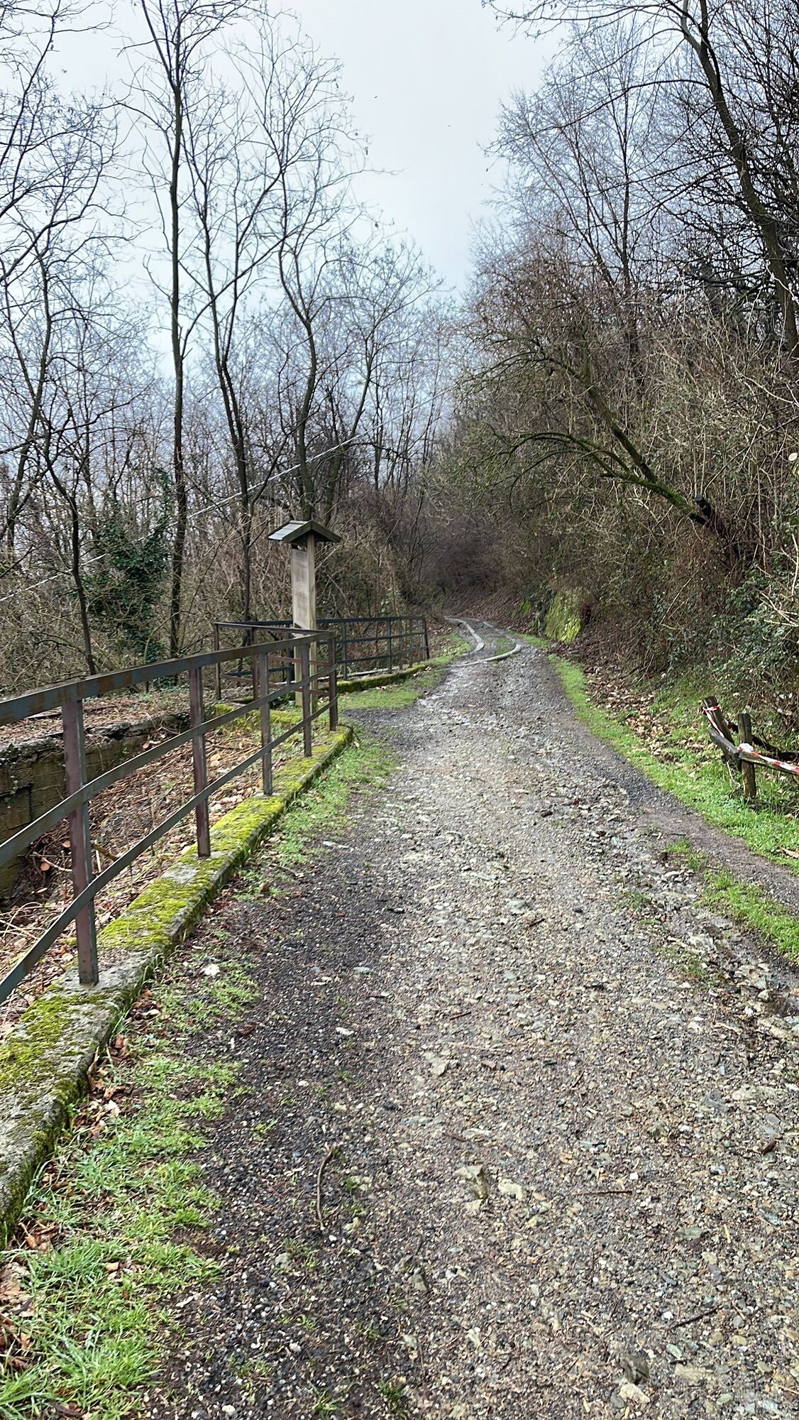
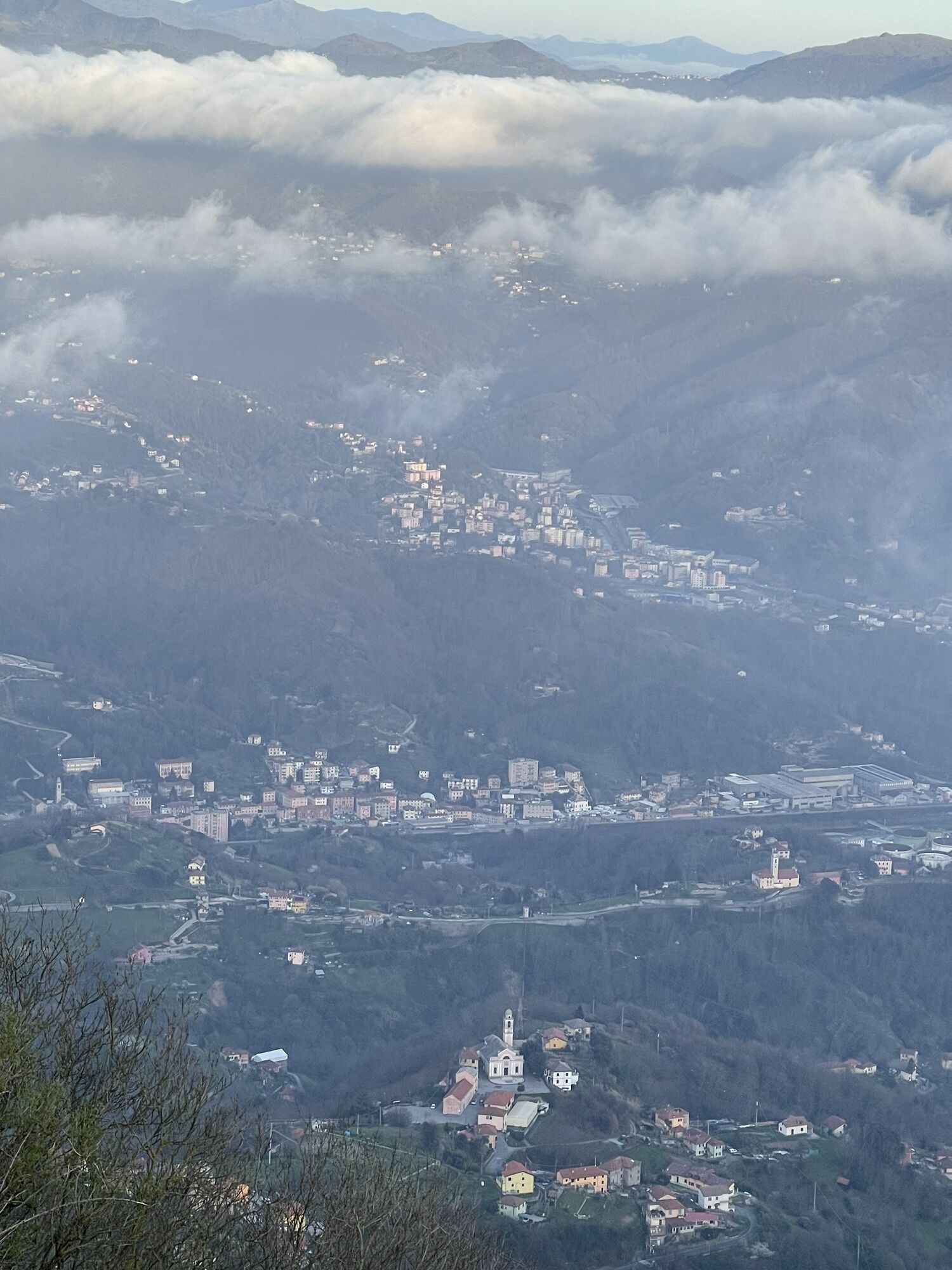
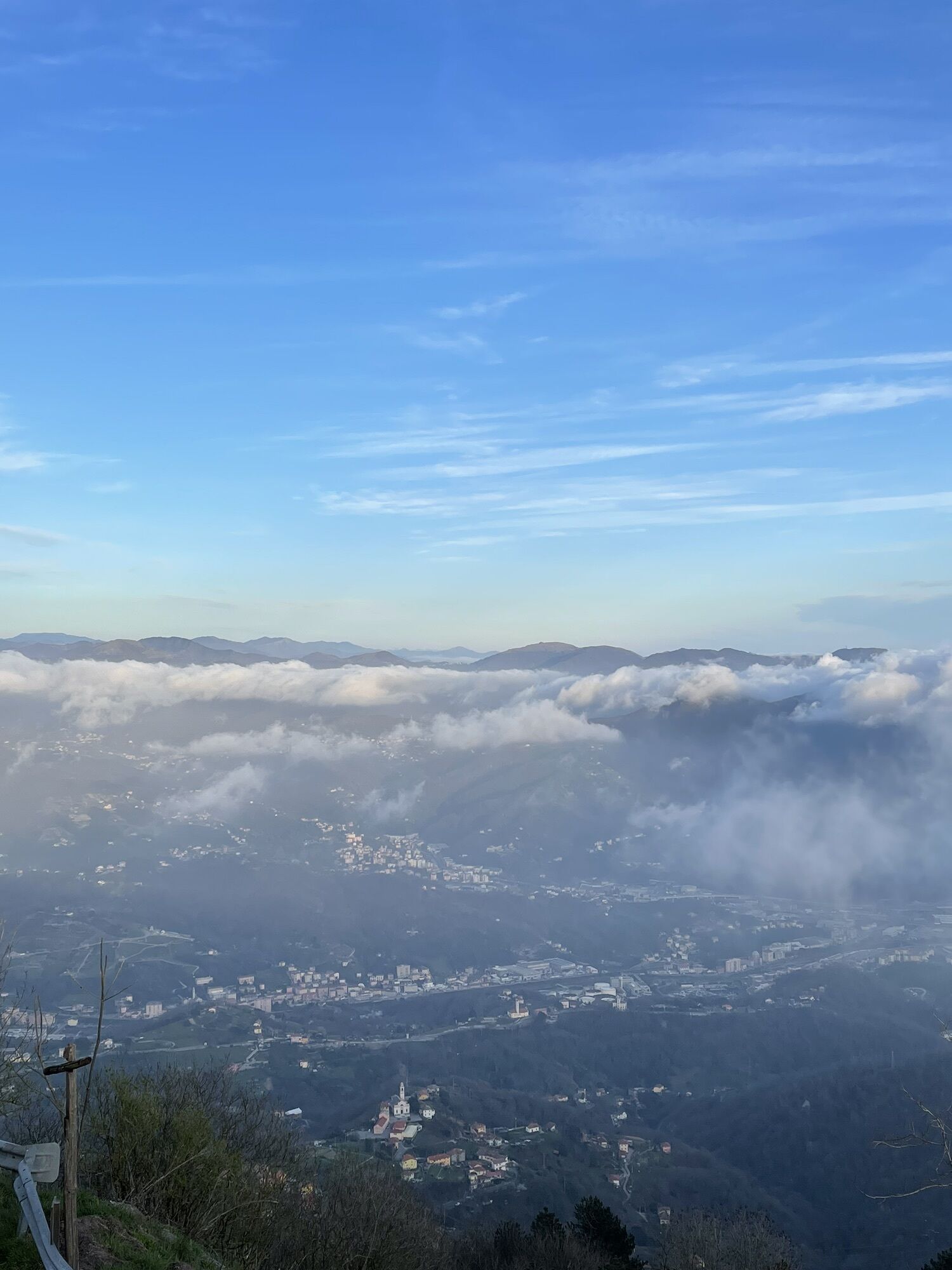
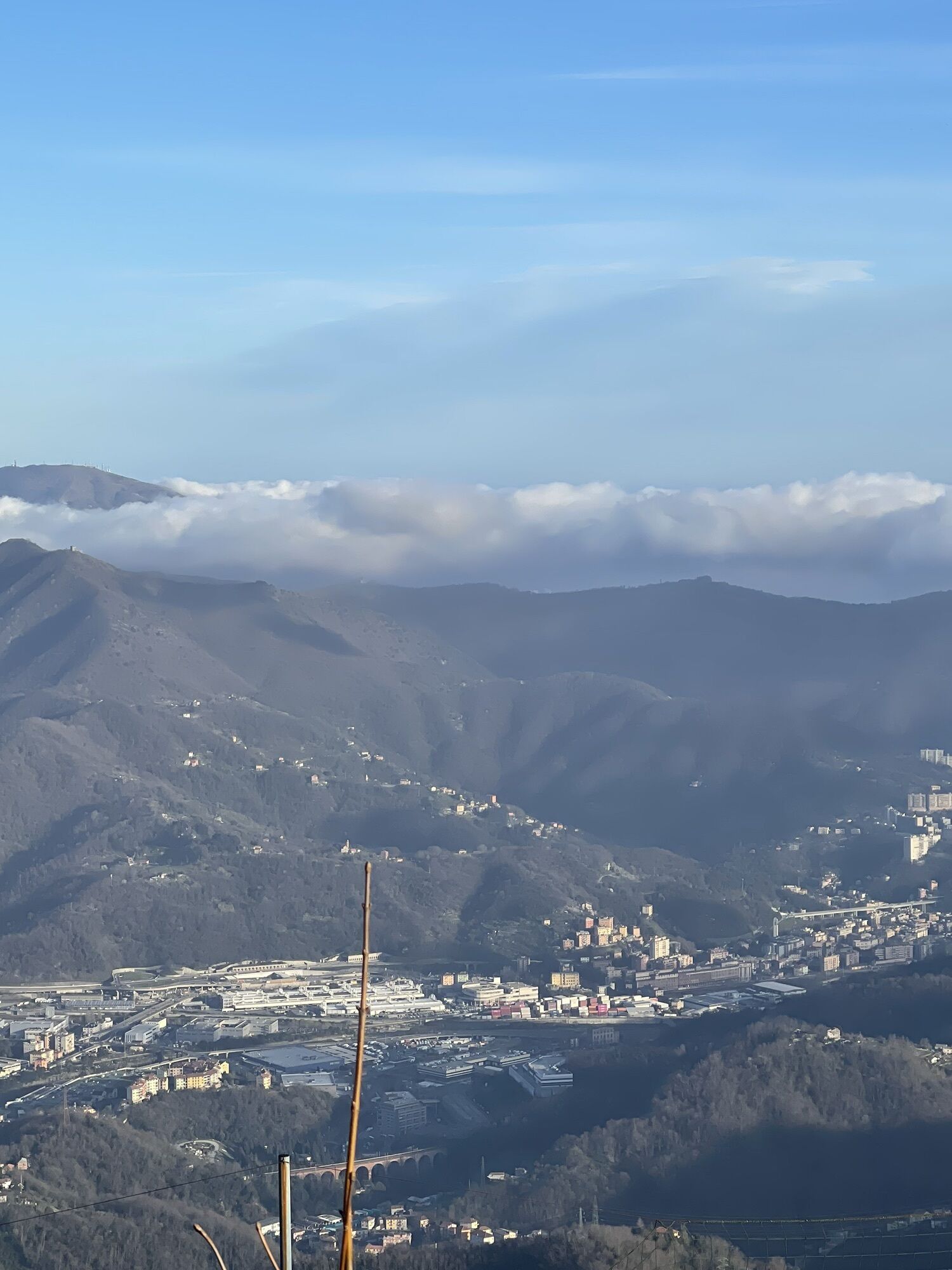
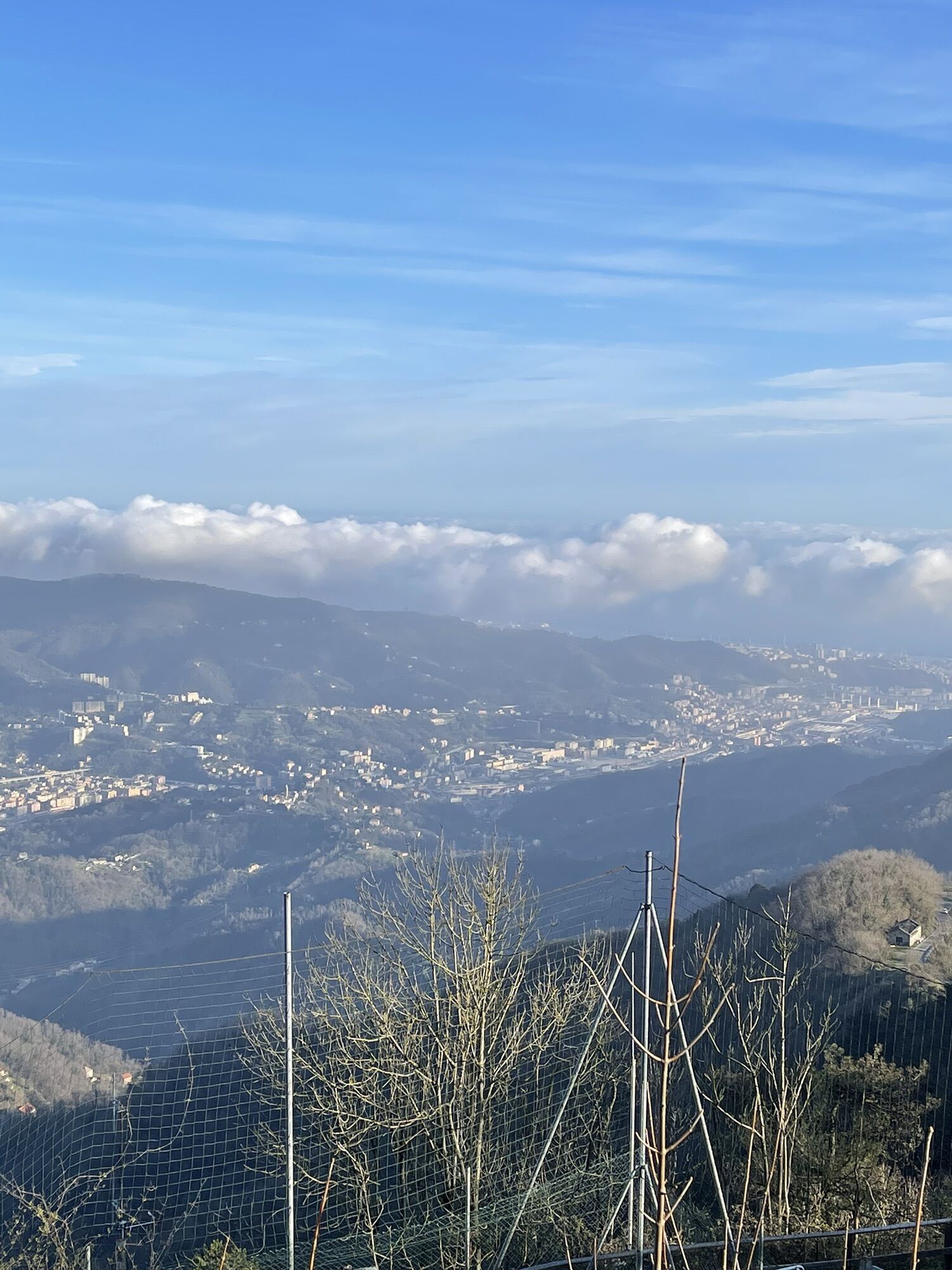
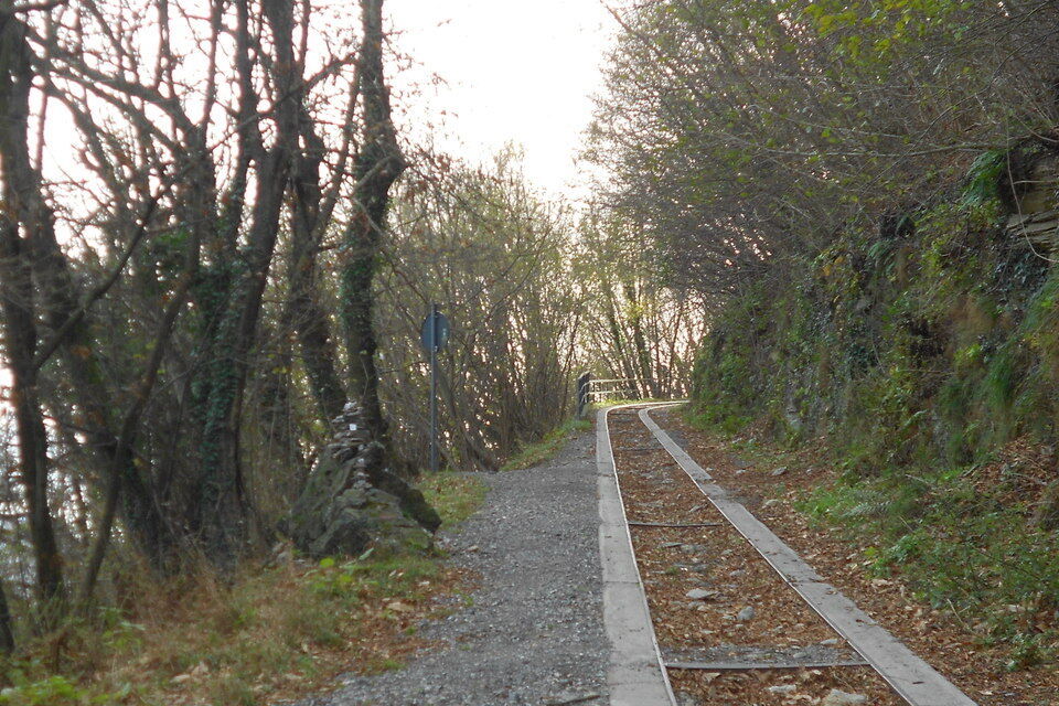
from Gaiazza looking towards the mountain, the track of the old Guidovia is visible on the left of the main road. Following it you join the paved road which goes up to Sareto (417 m), another hamlet of...
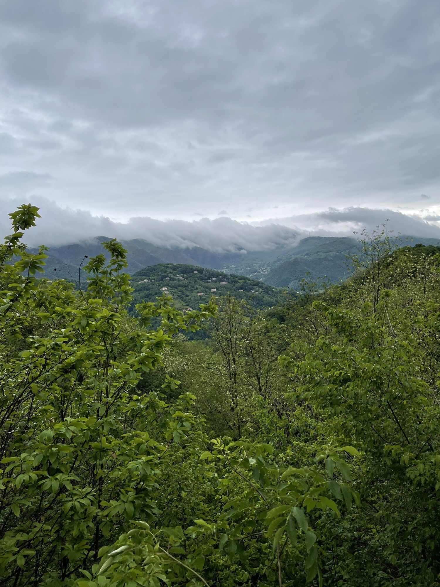
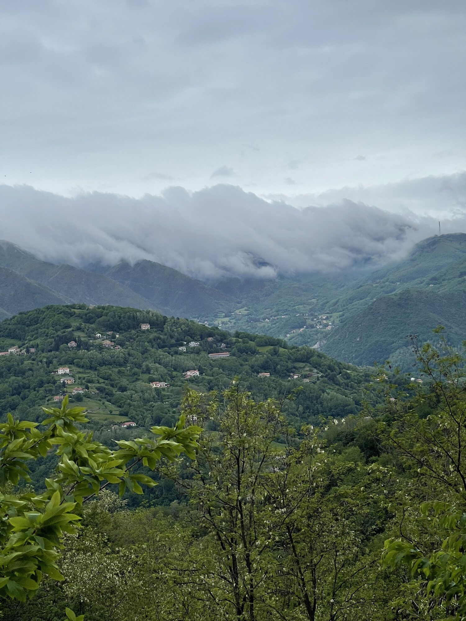
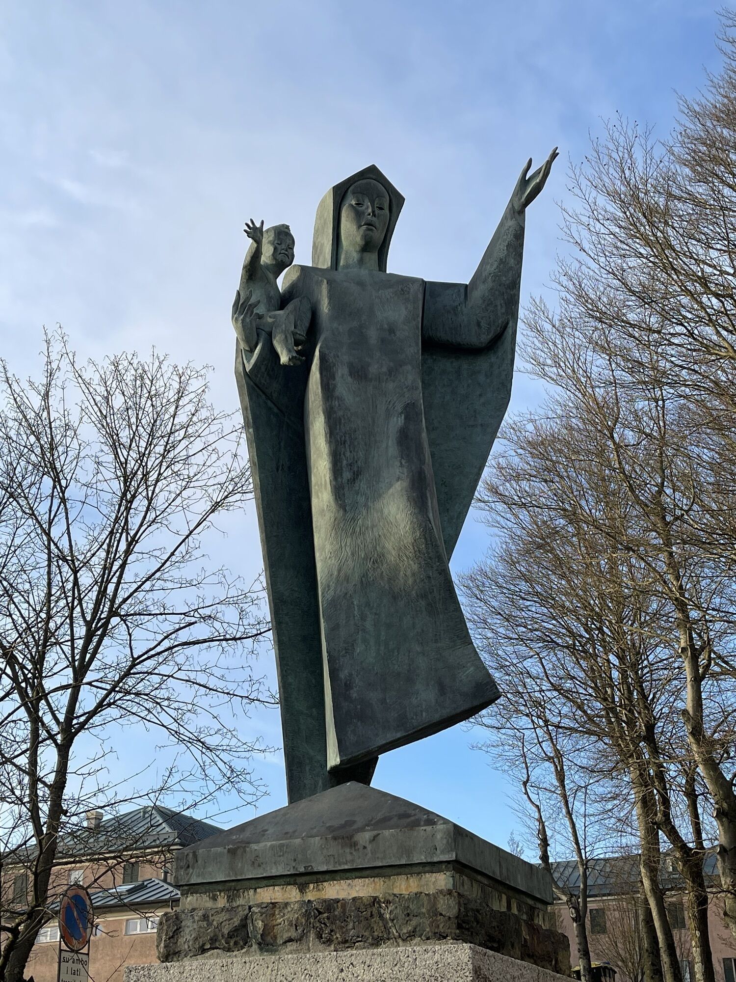
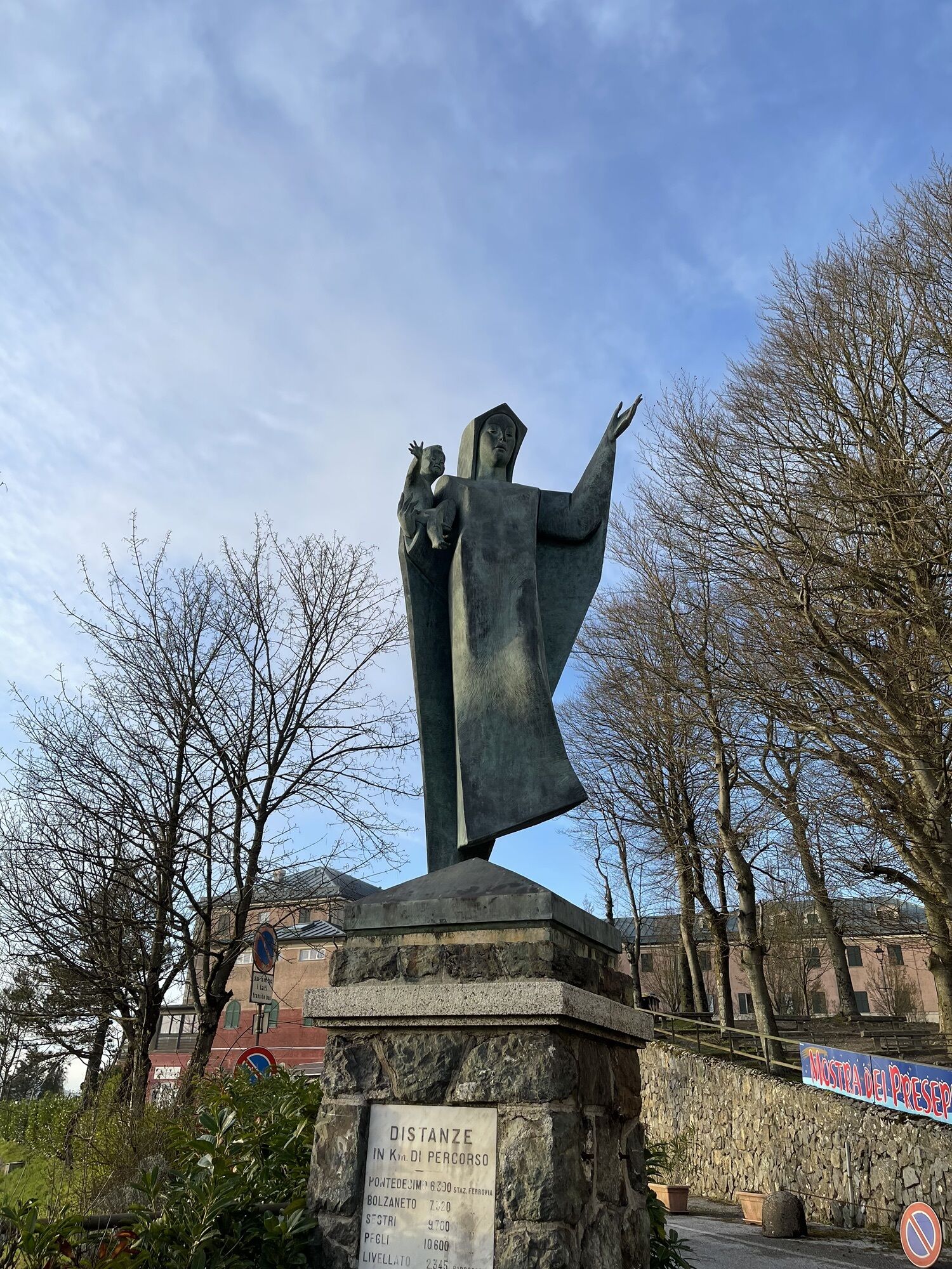
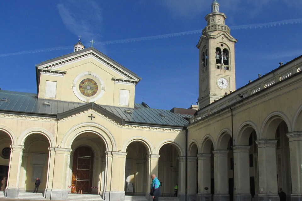
from Gaiazza looking towards the mountain, the track of the old Guidovia is visible on the left of the main road. Following it you join the paved road which goes up to Sareto (417 m), another hamlet of Ceranesi located on a panoramic slope. From Sareto the suggested itinerary entirely follows the track of the old Guidovia, ignoring the pathway indicated by two red circles, more direct and quicker. Following the road between the houses and the fields of Sareto, you reach a crossroads. Walk straight on and, after a barrier, you join the track of the Guidovia again. Walking on the track you pass the narrow little valley of a brook by a bridge and then you do a wide bend. The Guidovia rises towards south-east under the woods which cover the northern side of the Monte Figogna. Ignoring the footpath indicated by two red circles which crosses the trail, carry on walking gently uphill on the tracks. Some open areas offer beautiful views on the upper Polcevera Valley with the Figne, Taccone and Leco mounts firsts and then on the lower Valley and the Diamante, Fratello Minore, Sperone and Begato forts. Once you reach the eastern side of Monte Figogna there is a large bend to the right and immediately after is the Galleria Arpexella tunnel, roughly 50 metres long. Carry on walking diagonally in the woods of the north-eastern side, passing the Galleria Ca' Bianca, tunnel, 25 metres long. A little farther on, after a hairpin bend, walk by a derelict house where you find the red circles footpath another time. Carry on walking cutting through the north-western side of the Monte Figogna as far as a panoramic point (740 m) where you find the footpaths from San Carlo di Cese and Sestri Ponente. From here the Guidovia proceeds along the southern side as far as a widening at 770 m where the old upper station was. After the station, near the chapel Cappella dell'Apparizione you reach the paved road which you follow leftwards as far as the Madonna della Guardia Sanctuary on the top of Monte Figogna (806 m). You can return to Bolzaneto by the same itinerary or by public bus.


rom Genova Bolzaneto it is possible to go to Gaiazza by public bus (autolinee ATP; www.atpesercizio.it).
from Genova Bolzaneto motorway exit (A7 Genova-Milano) follow the SS35 dei Giovi road for Pontedecimo, where you proceed for Campomorone, Ceranesi and eventually the hamlet Gaiazza (323 m).
Nature and Landscape * * * * Family * * * * Gourmet * * * * Culture * * * * * *

Aktivity počas prehliadky


Obľúbené výlety v okolí
-
Leg 12 from Nervi to Genova Porto Antico
Turistika 11,2 km -
5,0
Genova, giro dei forti
svetloTuristika 11,0 km -
GE_24 The walls and the forts of Genoa
Turistika 11,9 km -
Giro dei Forti del Righi (Genova)
strednáMountainbike 18,9 km -
Ratti Richelieu fort
strednáMountainbike 20,0 km -
DH Apparizione – Livellato lines
strednáMountainbike 12,2 km -
Forte Diamante: anello da Ponte Sifone Vielino (Genova, Liguria)
strednáTuristika 14,5 km -
GE_30 The Eastern fortifications of Genoa
Turistika 16,8 km -
Punta Martin - Pegli
strednáTuristika 18,8 km -
Trail no. 26: Crocetta d'Orero - Colle di Creto
Turistika 7,23 km
Turistika a stopovanie


Nenechajte si ujsť ponuky a inšpiráciu na ďalšiu dovolenku
Vaša e-mailová adresa bol pridaný do poštového zoznamu.





