






SP_12 Framura - Bonassola

from Framura railway station take the short tunnel to the right which leads to a widening. Follow the paved road for a few metres walking uphill before taking a staircase on the right (“Spiaggia Portopidocchio”...
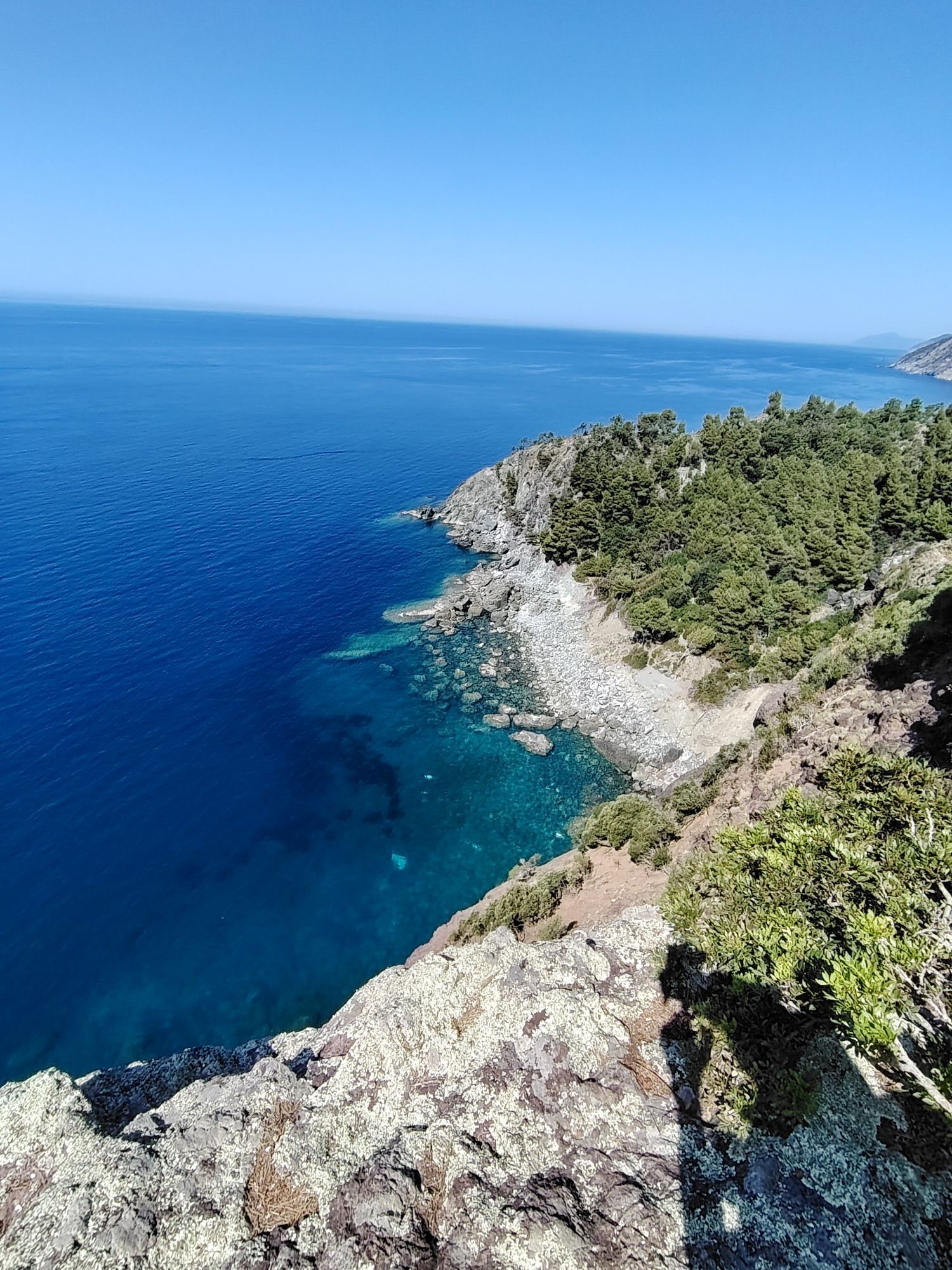
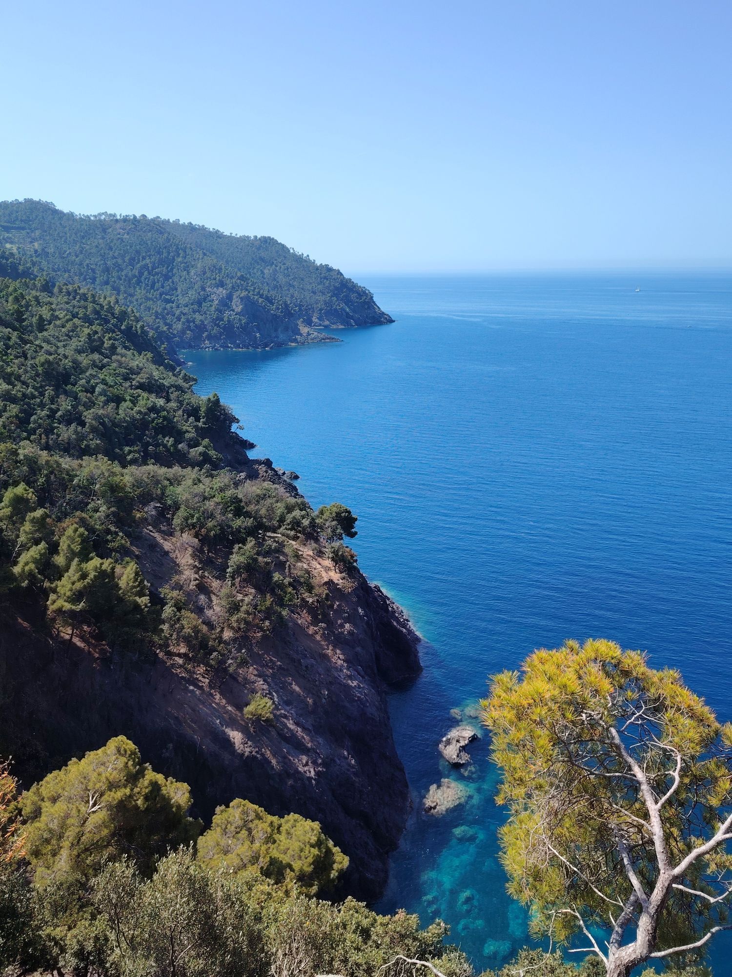
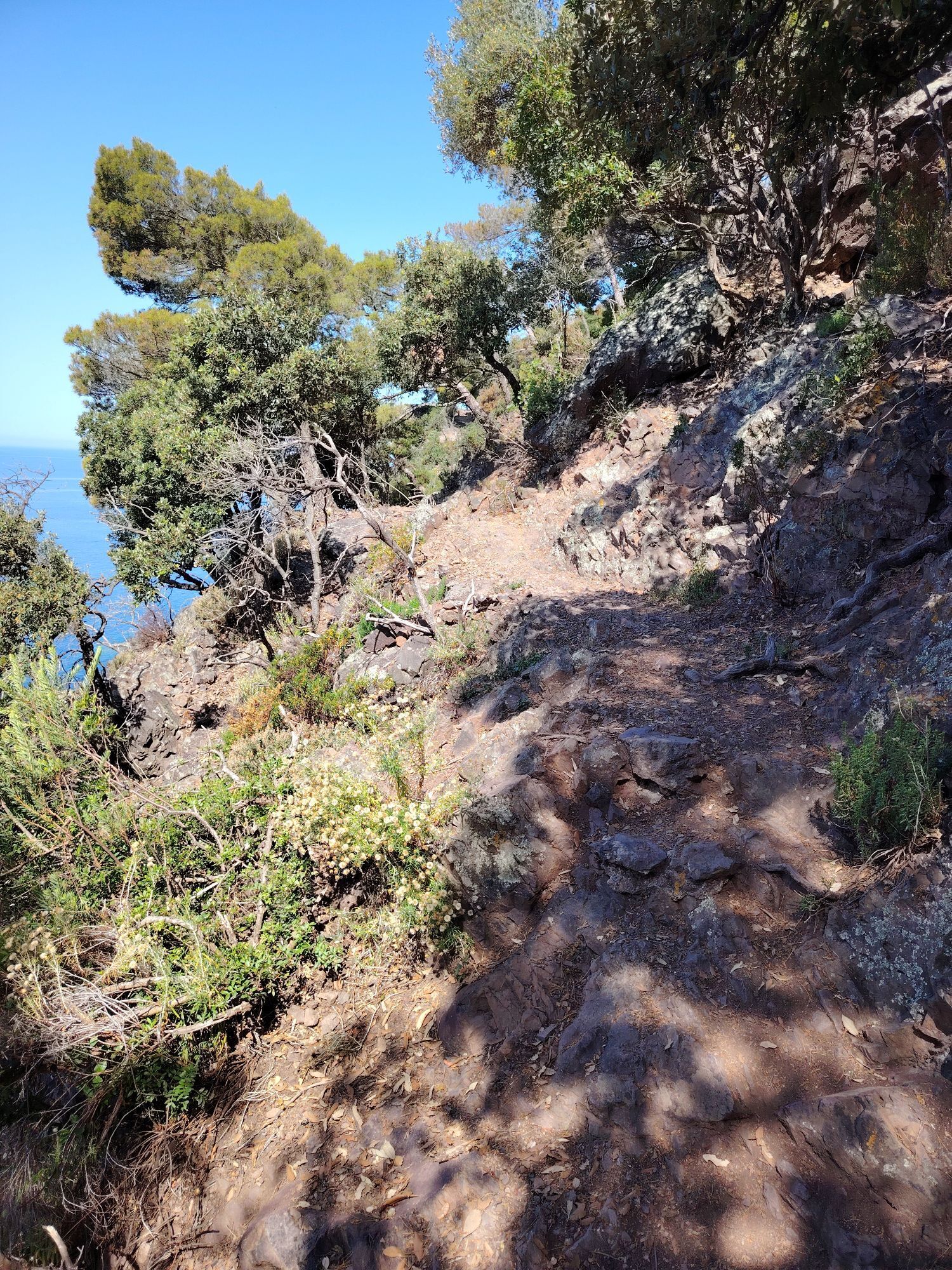
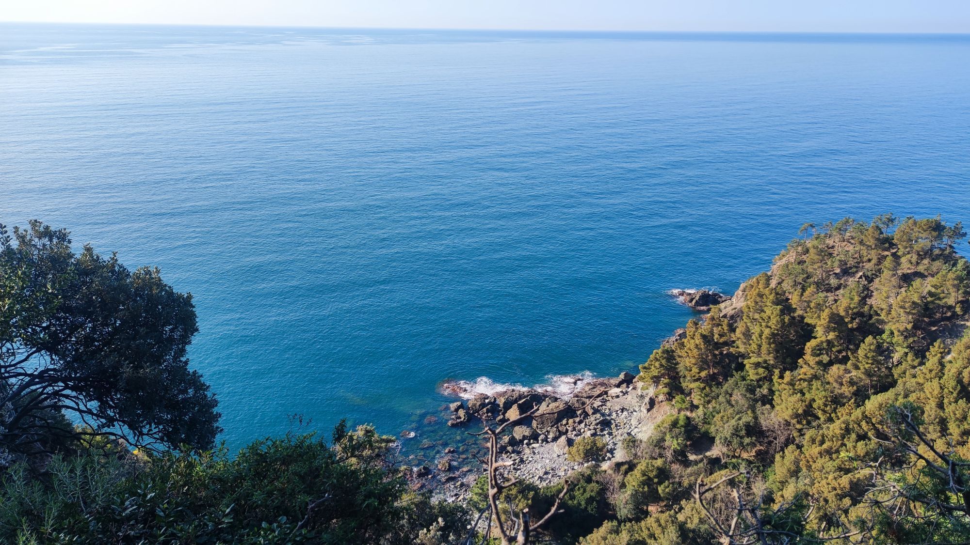
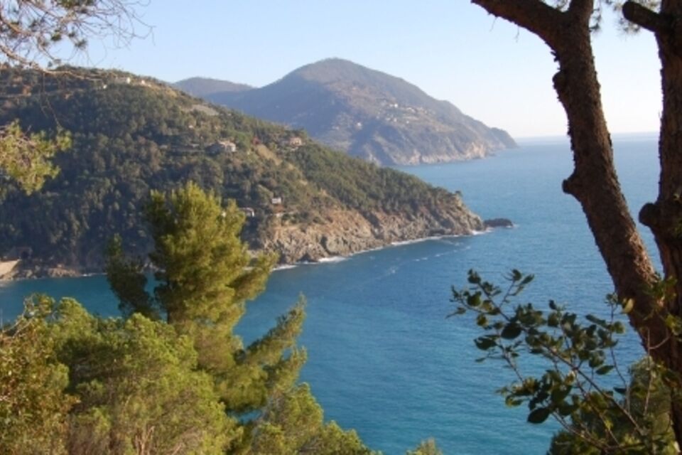
from Framura railway station take the short tunnel to the right which leads to a widening. Follow the paved road for a few metres walking uphill before taking a staircase on the right (“Spiaggia Portopidocchio” sign and fountain). Turn right at the end of the staircase. Follow the main track uphill, ignoring some secondary forks. At the end of the road the footpath starts, winding its way through mediterranean shrubs (20 minutes). After a level stretch, a lower area follows, characterised by terraces and evergreen oaks. At a dirt road near Salice turn right (arrow; 1.30 hours). The footpath goes through olive groves and vineyards and, after a little iron bridge, continues through a maritime pines wood as far as a widening. From this point (Sella Carpeneggio; 132 m) by a short side-trail you can reach “Salto della Lepre”, panoramic point above the cape “Punta Monte Grosso”. Along this footpath you find a derelict building and the ruins of an anti-aircraft battery from WW2. From Salto della Lepre go back to the main footpath on a mule-track which goes down as far as Bonassola (2.30 hours): the railway station is near the centre.



By train: (Genova-La Spezia railway) get off at Framura station.
from Deiva Marina motorway exit (A12 Genova-Livorno) follow the signs for Framura: you can park near the railway station (limited car park available, parking fee).
Nature and Landscape * * * * * Family * * * Gourmet * * * * * Culture * * *

Obľúbené výlety v okolí
-
5,0
Levanto nach Monterosso
strednáTuristika 6,83 km -
4,8
SP_07 Manarola - Volastra - Corniglia
Turistika 5,75 km -
4,2
Leg 4 from Riomaggiore to Monterosso
Turistika 15,1 km -
4,7
Monterosse - Vernazza
strednáTuristika 4,68 km -
4,5
Bonassola-Levanto-Monterosso
svetloTuristika 10,9 km -
4,7
Leg 7 from Moneglia to Sestri Levante
Turistika 15,2 km -
5,0
SP_21 Ciclopedonale Levanto – Bonassola – Framura
Turistika 6,70 km -
5,0
SP_13 Ring path of Levanto
Turistika 8,18 km -
SP_22 High Way of the Cinque Terre
Turistika 65,0 km -
SP_10 N.S. di Soviore - Vernazza
Turistika 6,02 km
Turistika a stopovanie


Nenechajte si ujsť ponuky a inšpiráciu na ďalšiu dovolenku
Vaša e-mailová adresa bol pridaný do poštového zoznamu.





