






Alta Via della Magnifica Terra - N208
Úroveň náročnosti: T3
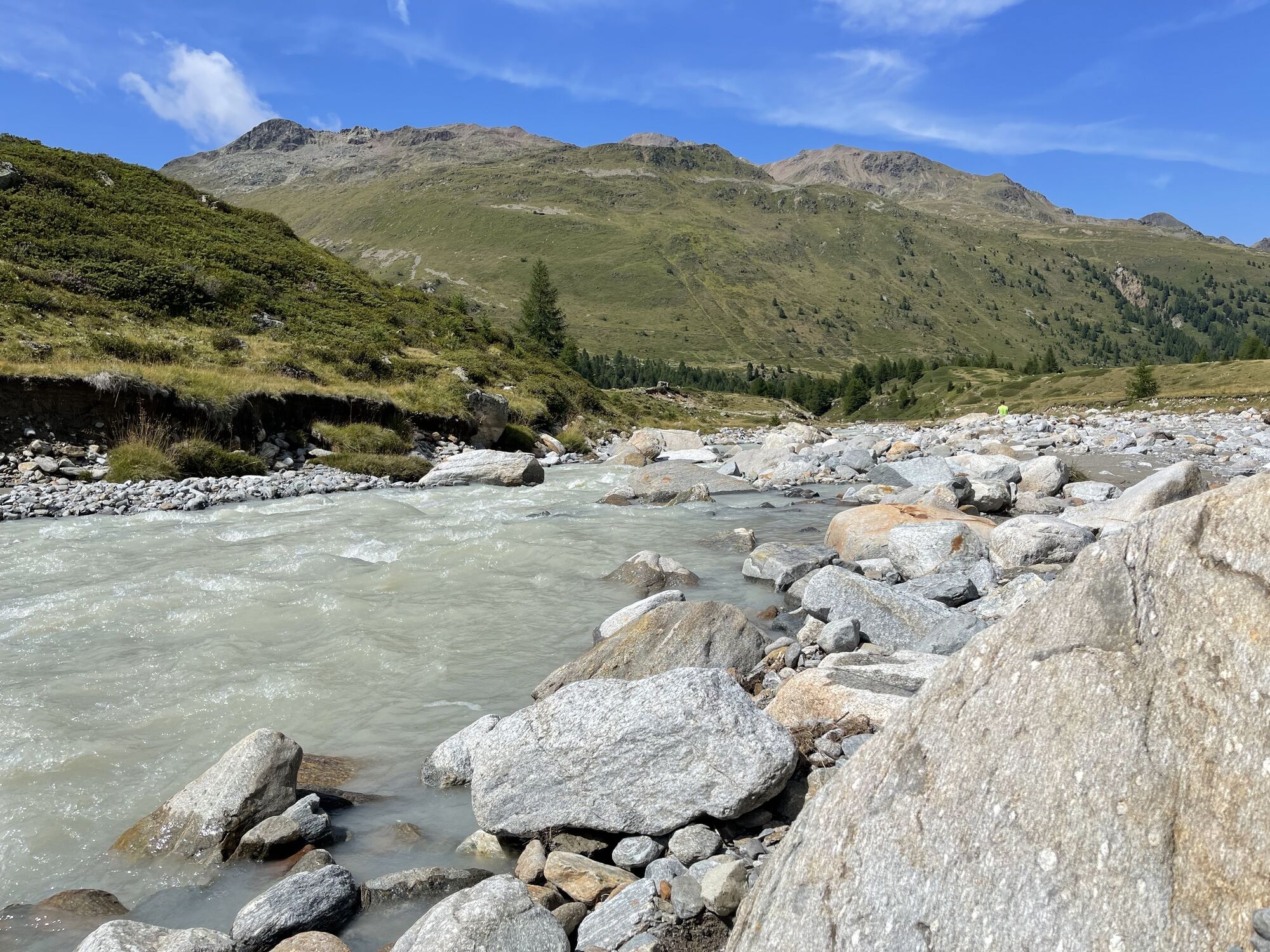
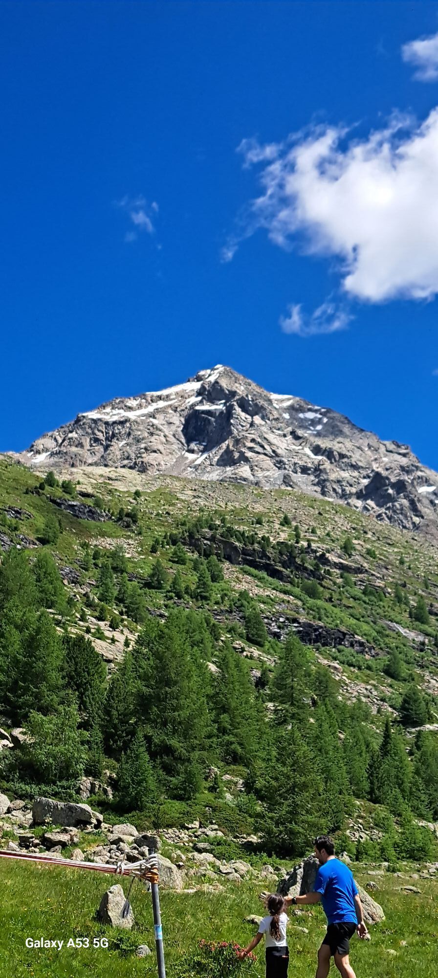
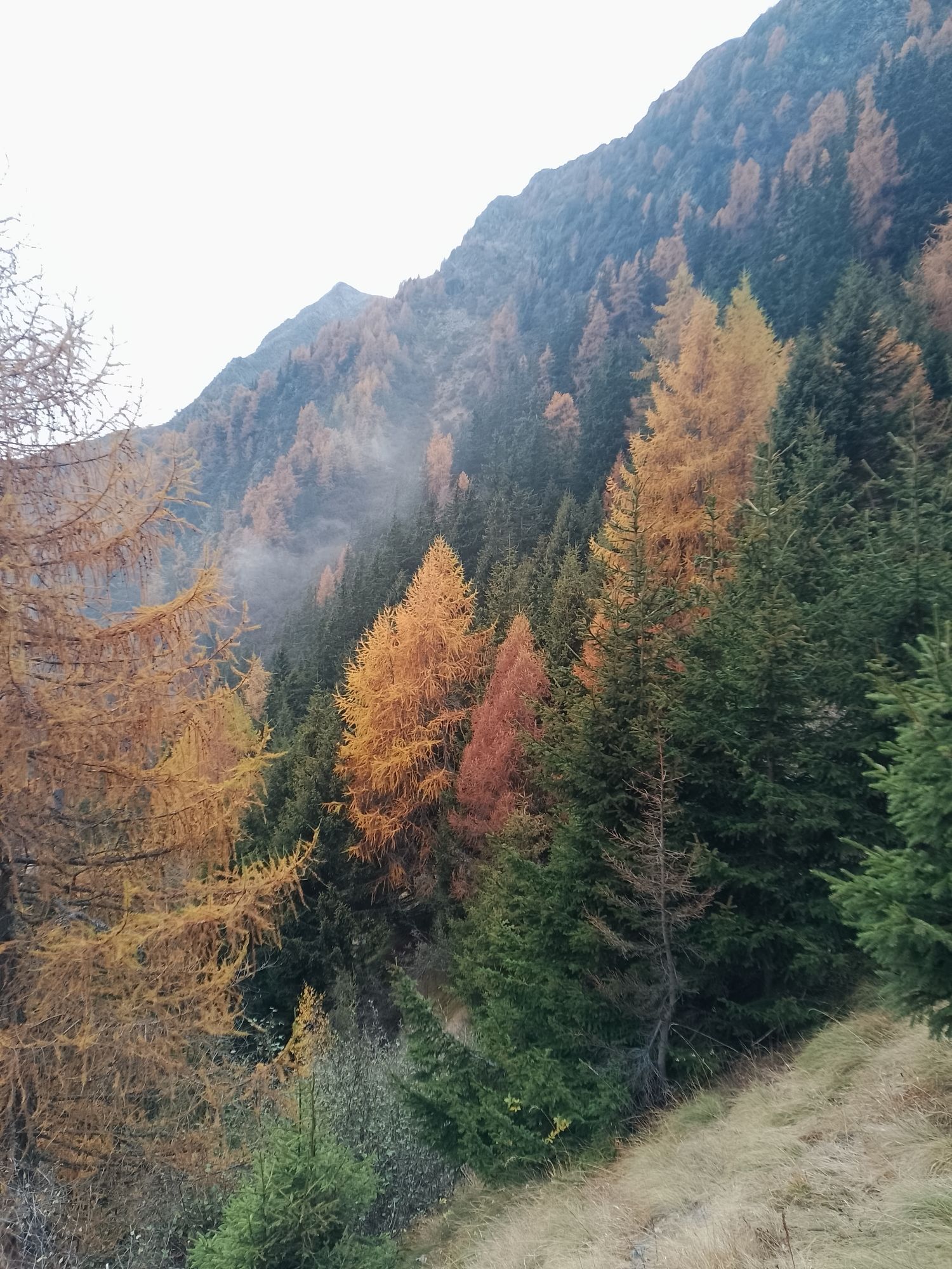
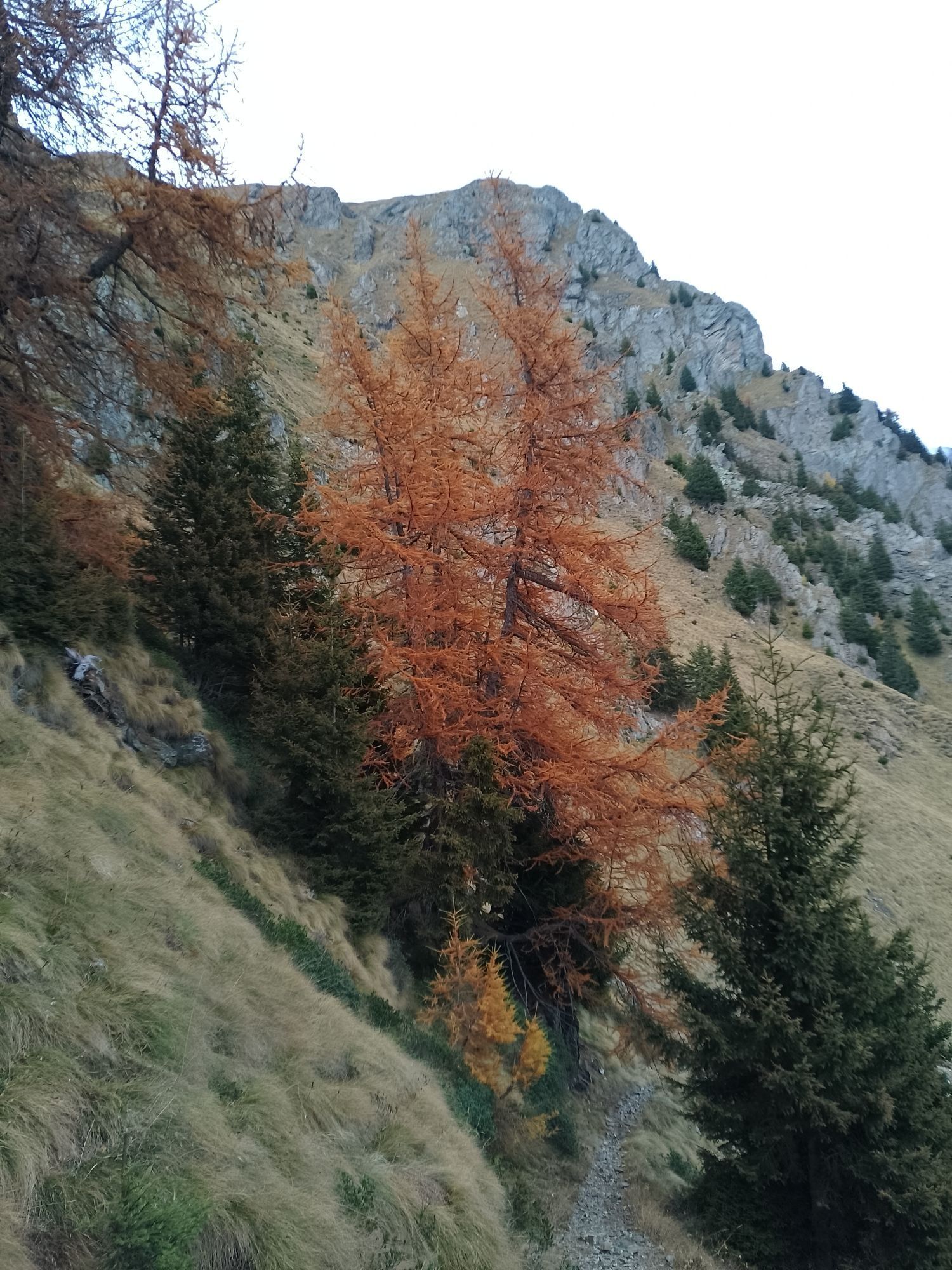
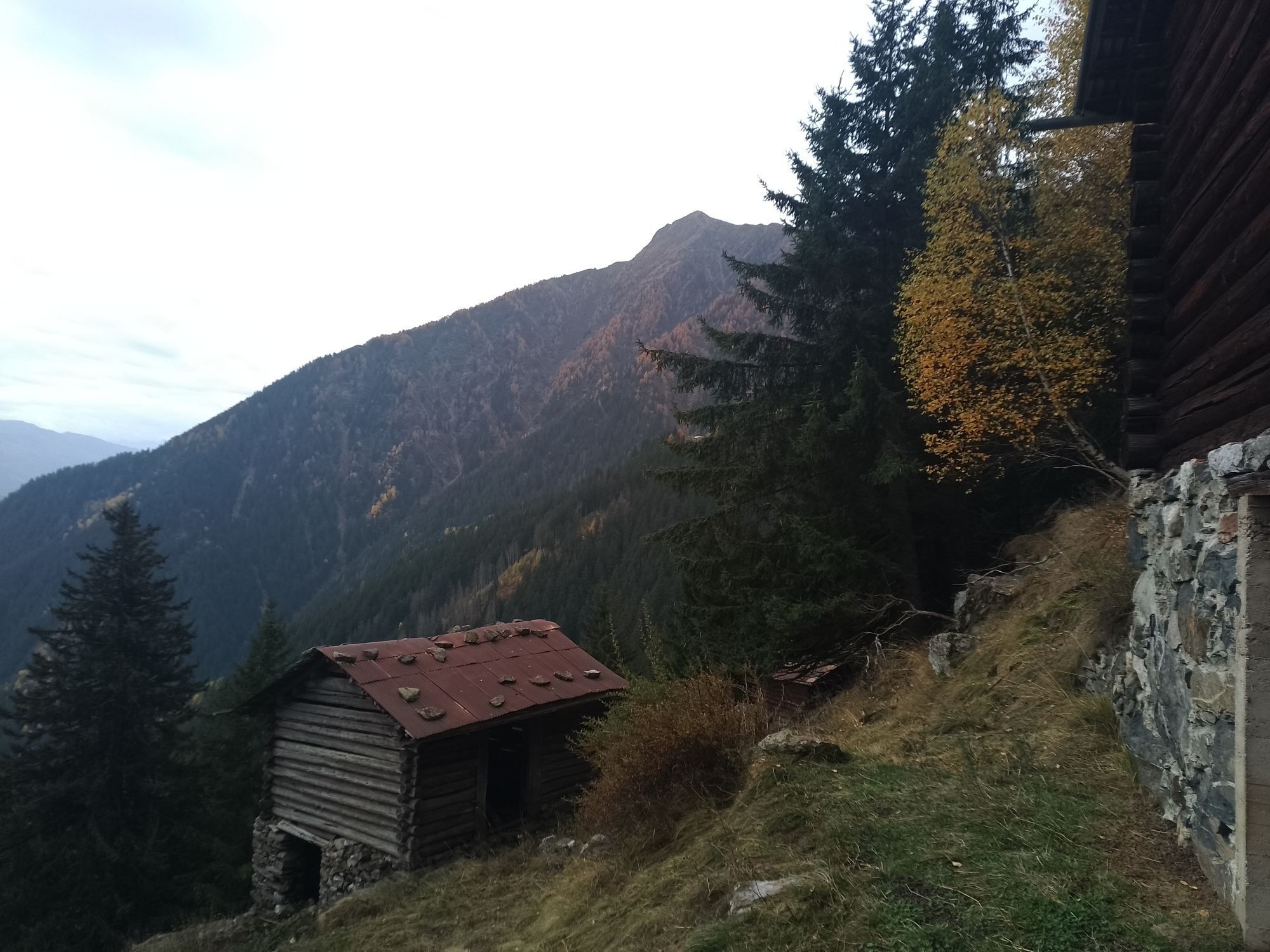
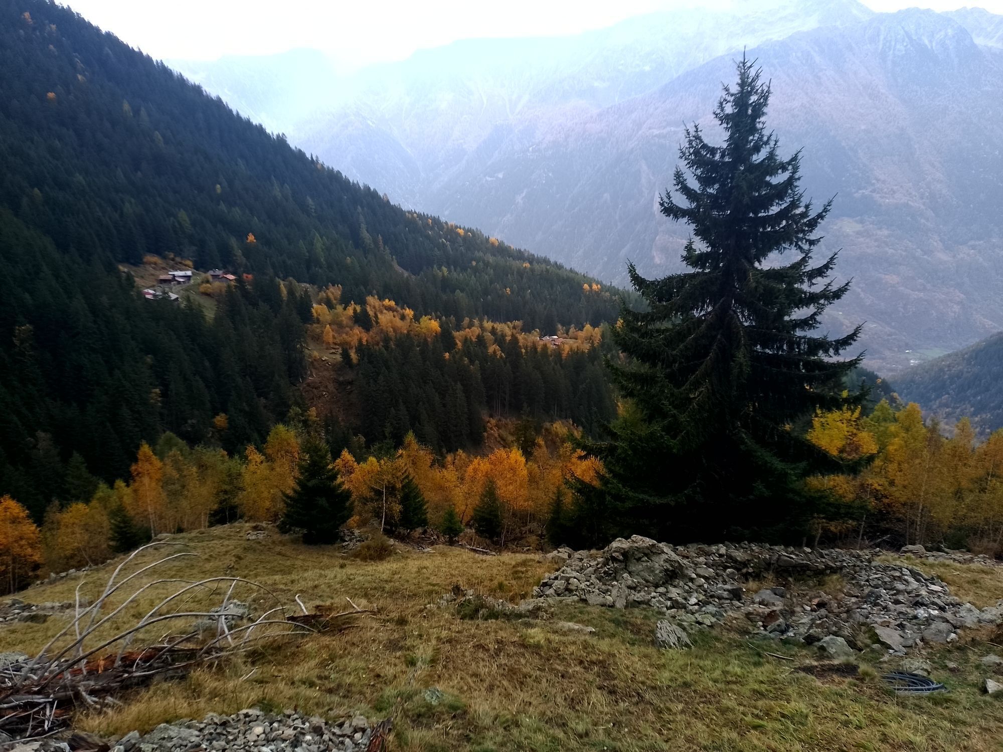
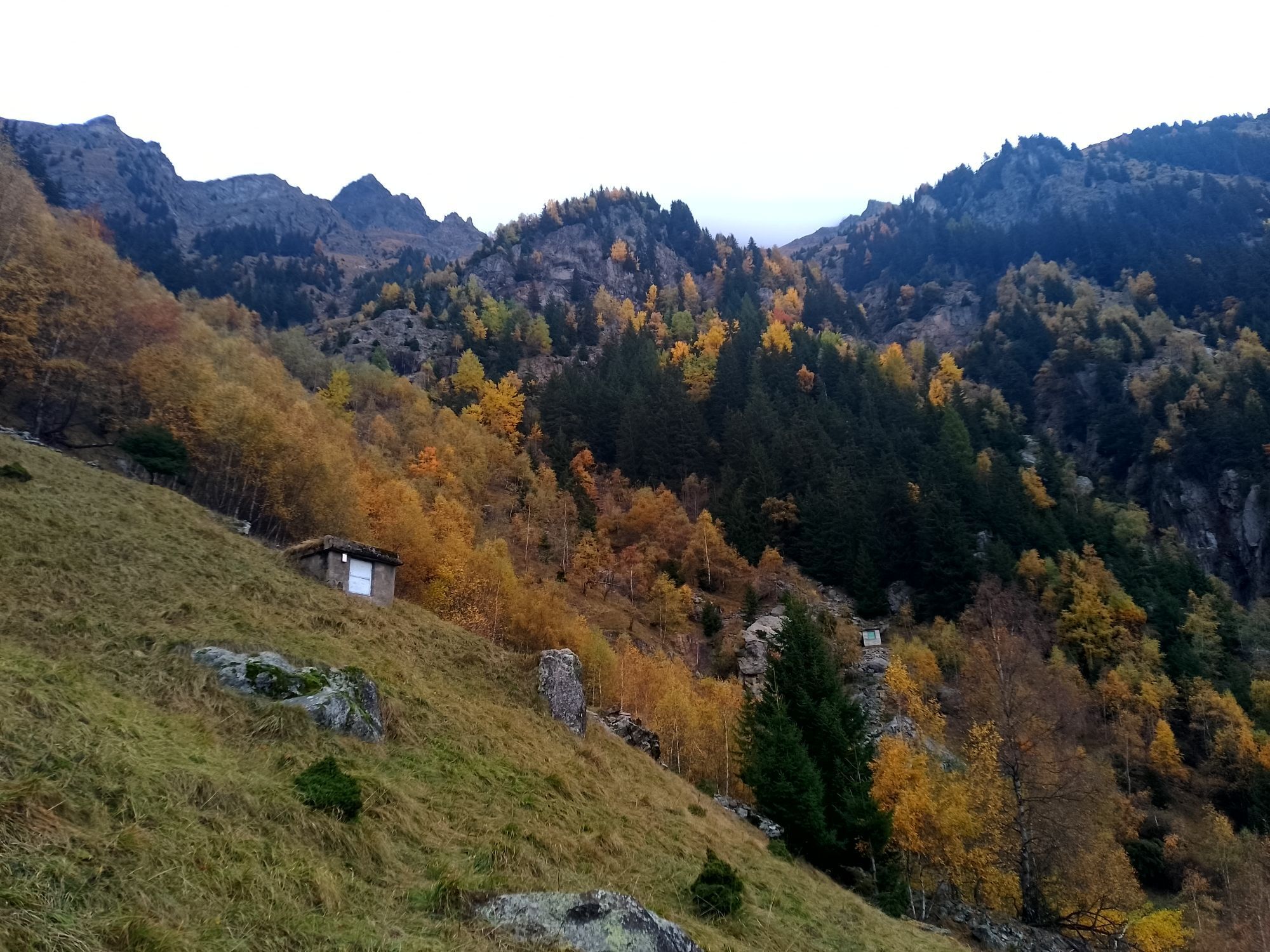
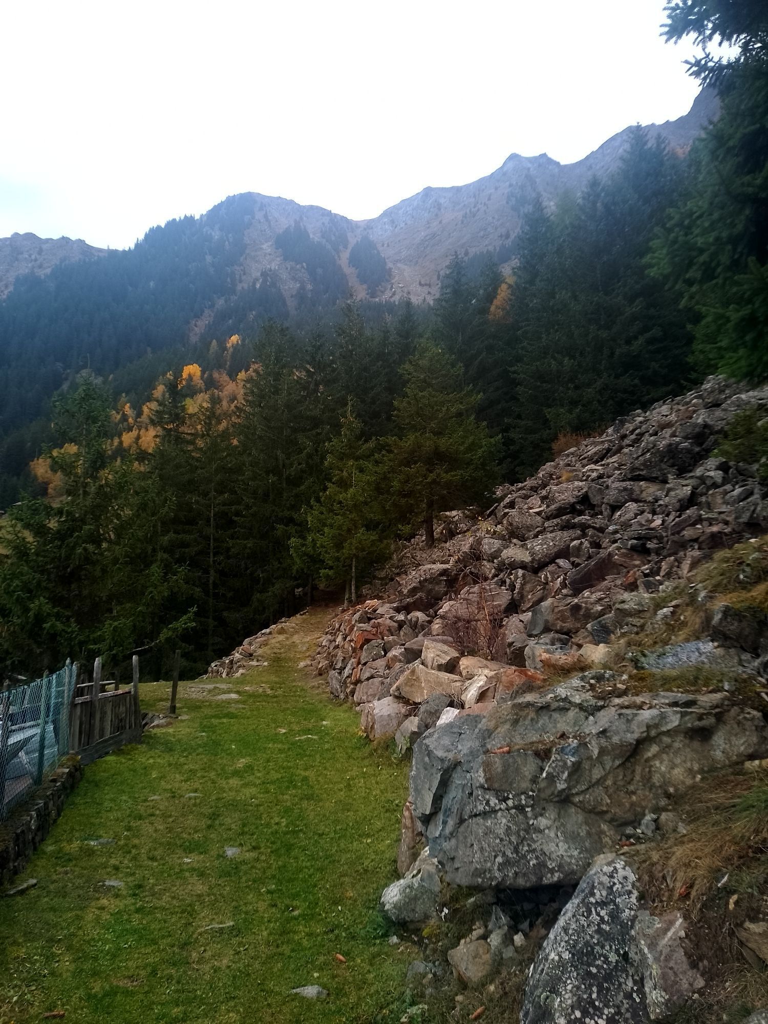
The lowest access point is in the municipality of Sondalo, but the undoubtedly most convenient starting point is at the Eita refuge, in Valgrosina, accessible by car with a large parking area. Traveling...
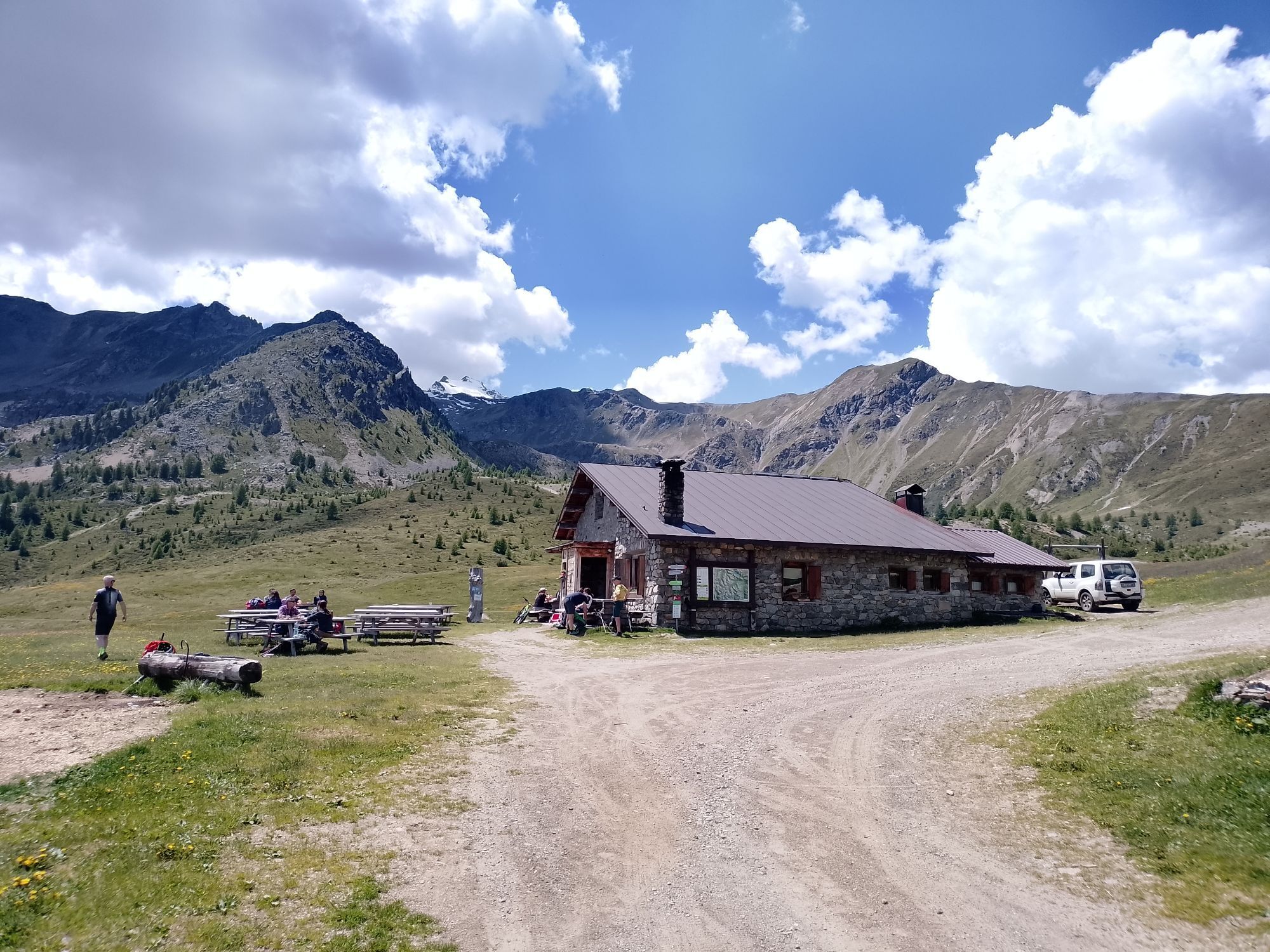
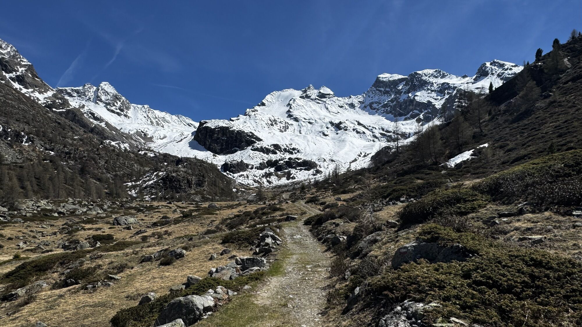
The lowest access point is in the municipality of Sondalo, but the undoubtedly most convenient starting point is at the Eita refuge, in Valgrosina, accessible by car with a large parking area. Traveling clockwise from Eita, take the N201 trail (Sentiero Italia) and ascend the Avedo Valley to the Dosdè Pass, where there is the homonymous hut, an unmanaged refuge owned by the Cai Bormio recently renovated.
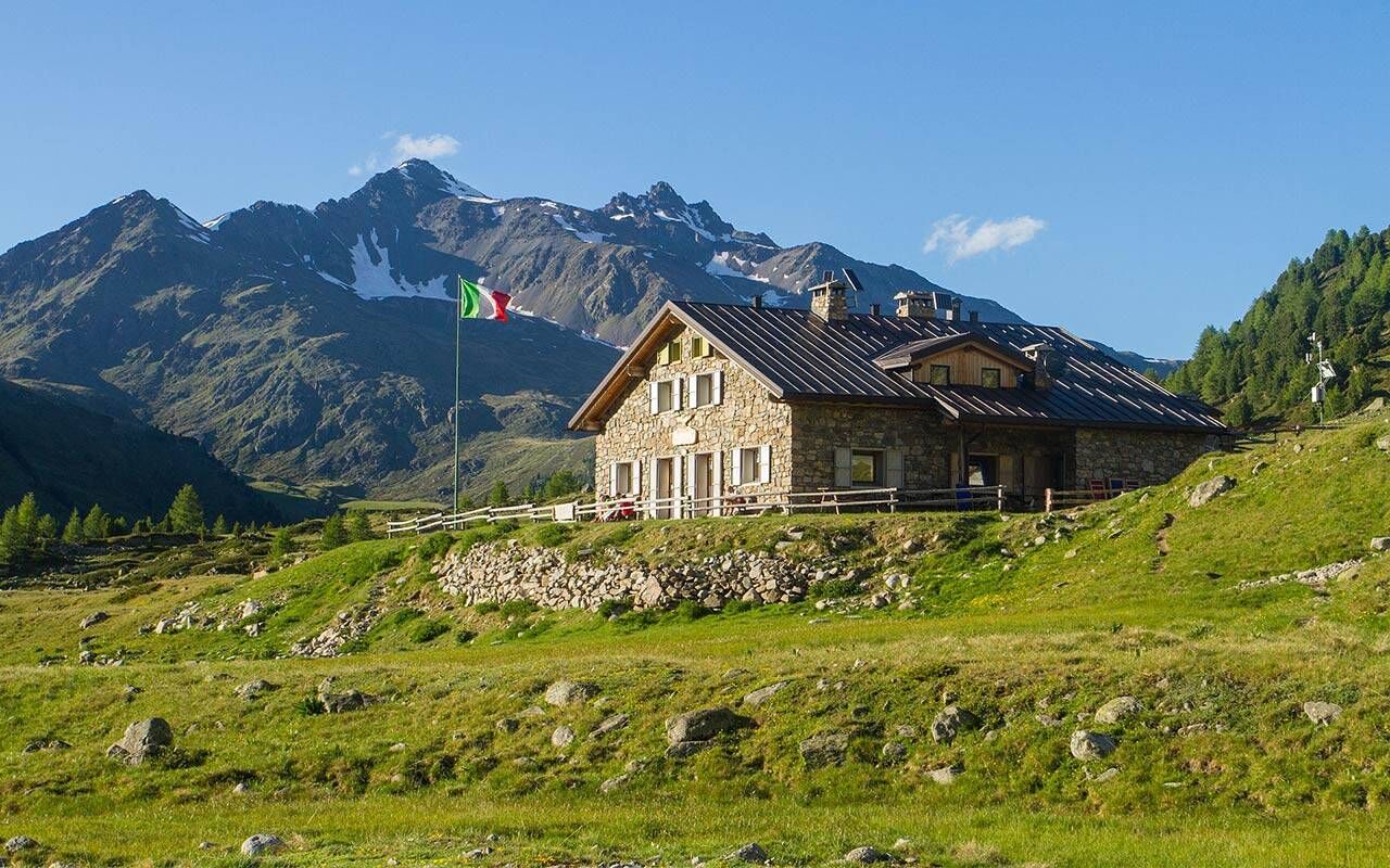
Continue descending to Val Dosdè to Rifugio Federico, a mandatory stop where you can recharge and rest. After greeting the legendary Adrico Greco, continue ascending the Selva hill always following the N208 trail. Upon reaching Selva lake, shortly after, descend towards Val Verva and continue climbing to Alpe Verva, where you can refresh and stay overnight. Behind the alpine hut, the trail leads first to Passo delle Pecore and then to Bivacco Ferrario, before descending to Alpe Boron, where the owner of the agriturismo, Lucia, will take good care of you. Overnight stays are also possible here.
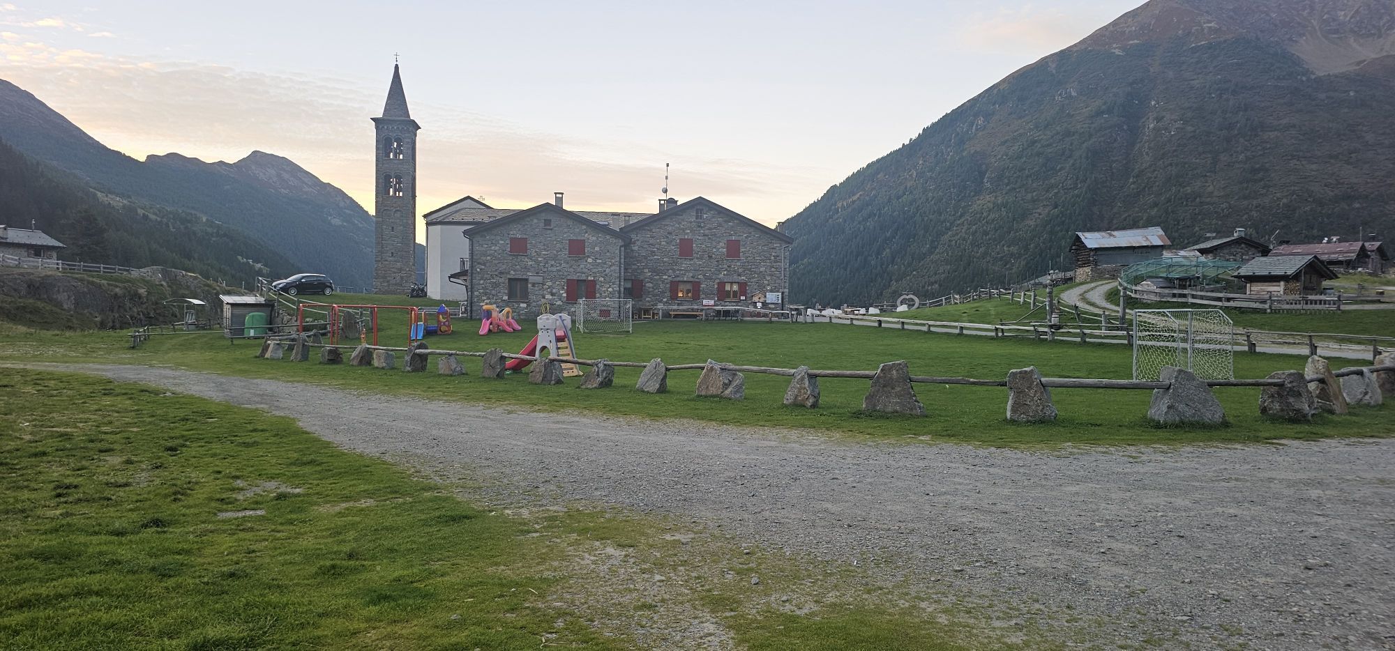
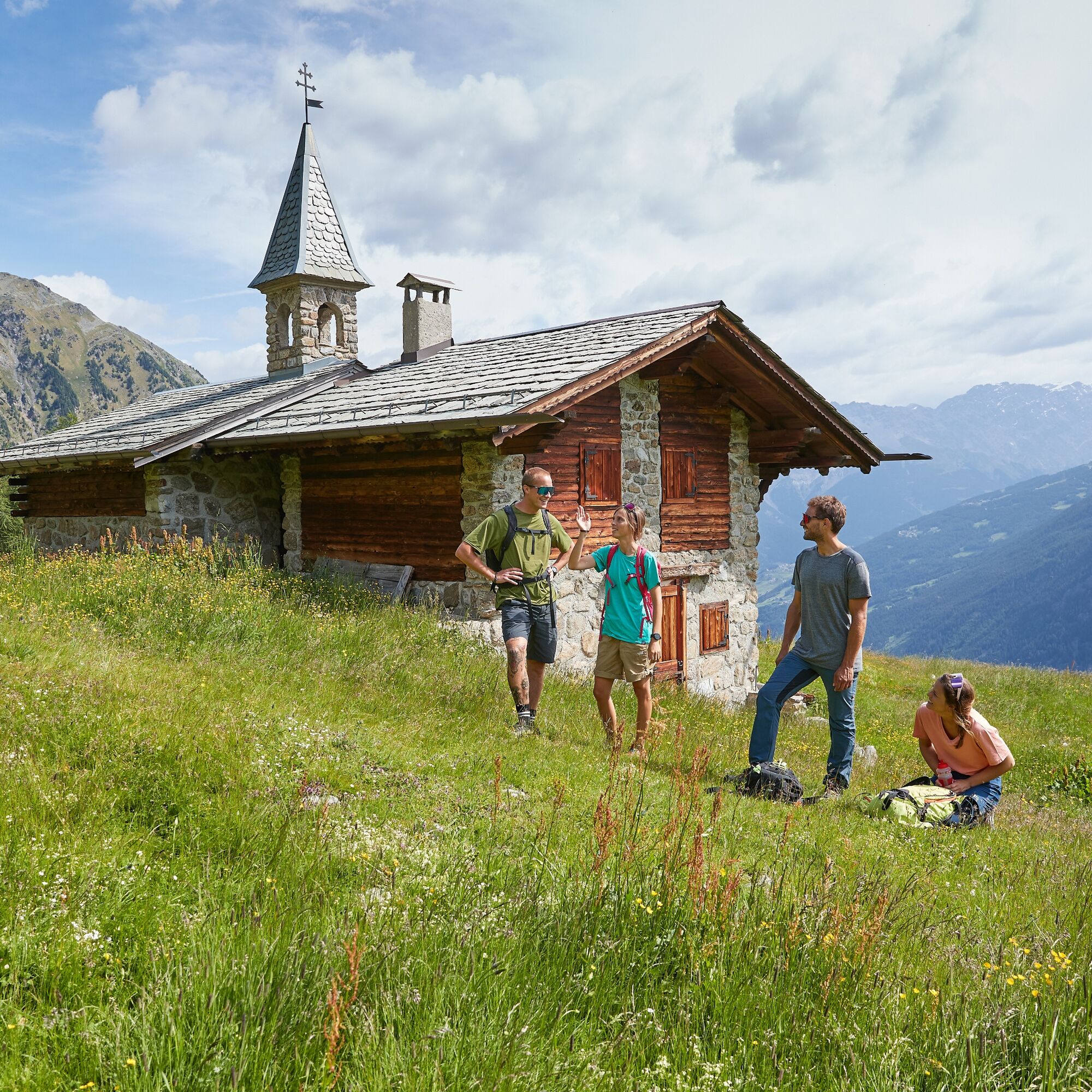
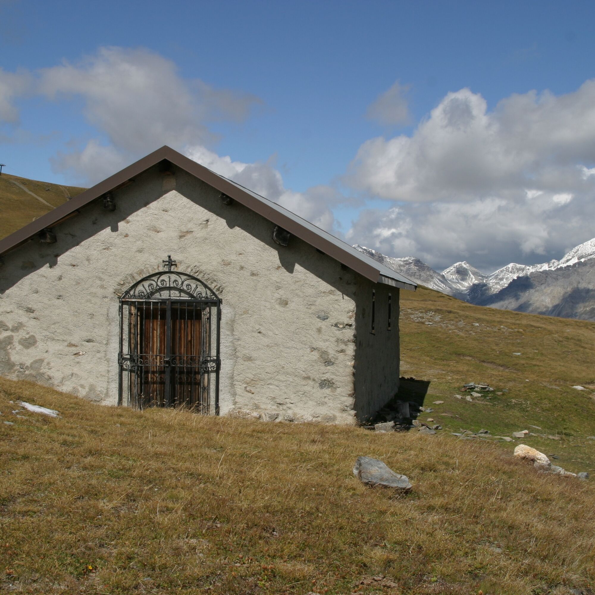
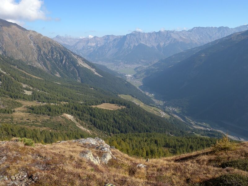
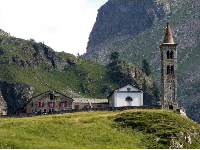
Continue following the N208 trail and the green Alta Via signs towards Malga Prei and then climb to the Church of San Colombano, a characteristic mountain chapel built in 1616 and a pilgrimage destination for locals. Then descend to the San Colombano refreshment point and shortly after to Malga San Colombano, other must-visit spots where you can eat and sleep. From Malga San Colombano, a long panoramic traverse starts, coinciding with the Bormio 360 route, allowing you to enjoy amazing panoramas of the Magnifica Terra di Bormio! Unfortunately, this area is less rich in support points where you can eat and sleep, so it is mandatory to carry some supplies and water, although water is available at various points. The first refreshment point you will find is at Alpe Zandilla, where the friendly hosts will pamper you well.
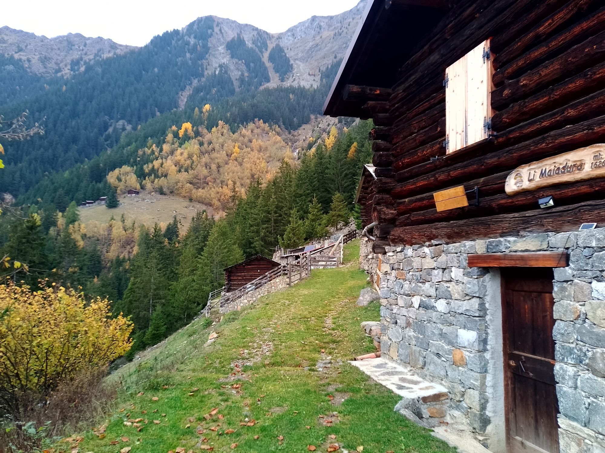
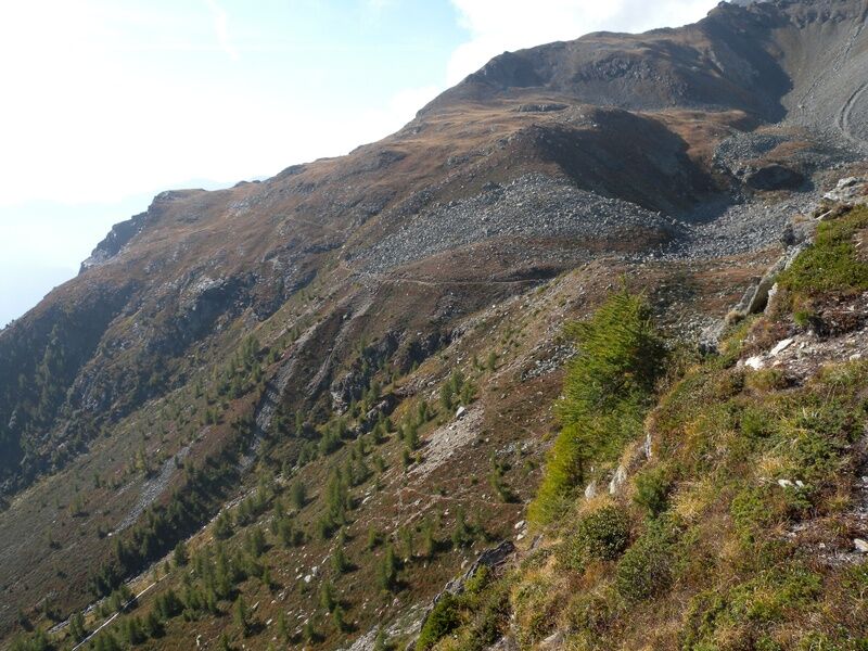
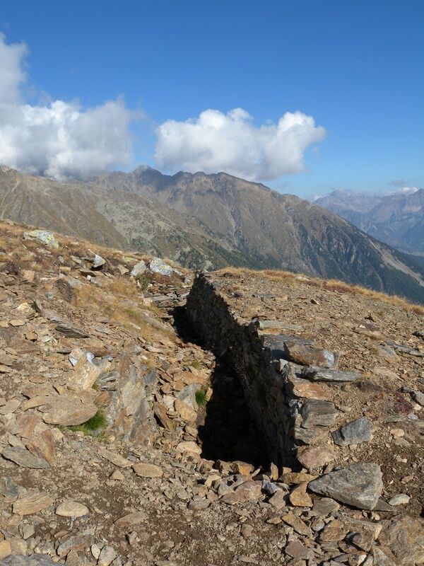
Beyond Alpe Zandilla, a pleasant climb begins, leading to the military Bocchetta, overlooked by several well-preserved trenches. After descending the wooden stairway inside the rock, continue on the military mule track that takes you to the top of the 1987 Valpola landslide, a fascinating place where you can feel the power of the earth. From here, the path descends to Malga Alt, a panoramic vantage point overlooking the Rezzalo Valley, then climbs along the road up to Pian delle Acque and the Valàar ponds, then to Pozza, from where the descent to Stavello begins. Proceed towards Li Maiadura and from there take the trail that crosses various small valleys until you reach Malga Fò, from where you continue to Forcola Pass and from there the final descent to Redasco and then arrival at Eita, where stopping at the fabbriceria/refuge is obligatory.

Áno
Trekking equipment, hiking boots, backpack, water.
Good training and high mountain trekking skills are required. There are sections that require good walking ability.
To reach Eita, simply follow the municipal road from Grosio towards ValGrosina. A permit is required from the automatic dispenser in Fusino, in the parking lot in front of the church.
At the Eita refuge
T3
It is recommended to plan stages checking that support points are open.
The trail section that connects Li Maiadura with Malga Fò is difficult to walk and is often subject to landslides and erosion due to the small valleys it crosses. It is recommended only for experienced hikers.
It is possible to take the lower variant, descending from Li Maiadura towards the forest road no. N268.1 to Resnena and then climbing to Malga Fò along the forest track.
Získajte prehľad
Vždy naživo na mieste s viac ako 9 500 webovými kamerami. bergfex Ako používateľ Pro si teraz môžete pozrieť príslušné webové kamery pre mnohé zájazdy v aplikácii zájazdy z. Môžete si tak priamo prezerať aktuálne podmienky.
Obľúbené výlety v okolí
-
5,0
Mountain hike to Lagh da Saoseo
ťažkéTuristika 15,0 km -
3,4
Sta.Maria, Prà da Vau - Lai da Rims - Alp Sot - Prà da Vau
ťažkéTuristika 14,7 km -
5,0
TIP Panorama Road Tyrol ➤ Stelvio Pass
svetloMotorrad 40,8 km -
4,0
Ortler Höhenweg
ťažkéVysoké turné 123,2 km -
4,5
Stelvio Epic Rides: Passo dello Stelvio
ťažkéCestný bicykel 20,9 km -
2,0
Military Historical Hiking Trail "Scorluzzo"
strednáTuristika 9,52 km -
4,8
Bucket List: Passo Stelvio
ťažkéCestný bicykel 140,3 km -
5,0
Monte Scale Loop Trail
ťažkéTuristika 7,53 km -
3,5
Piz Umbrail and descent to Lai da Rims
strednáTuristika 15,0 km -
5,0
Piz Umbrail und Abstieg zum Lai da Rims
ťažkéVysoké turné 15,0 km
Turistika a stopovanie


Nenechajte si ujsť ponuky a inšpiráciu na ďalšiu dovolenku
Vaša e-mailová adresa bol pridaný do poštového zoznamu.





