






Alta Via della Valmalenco stage 4
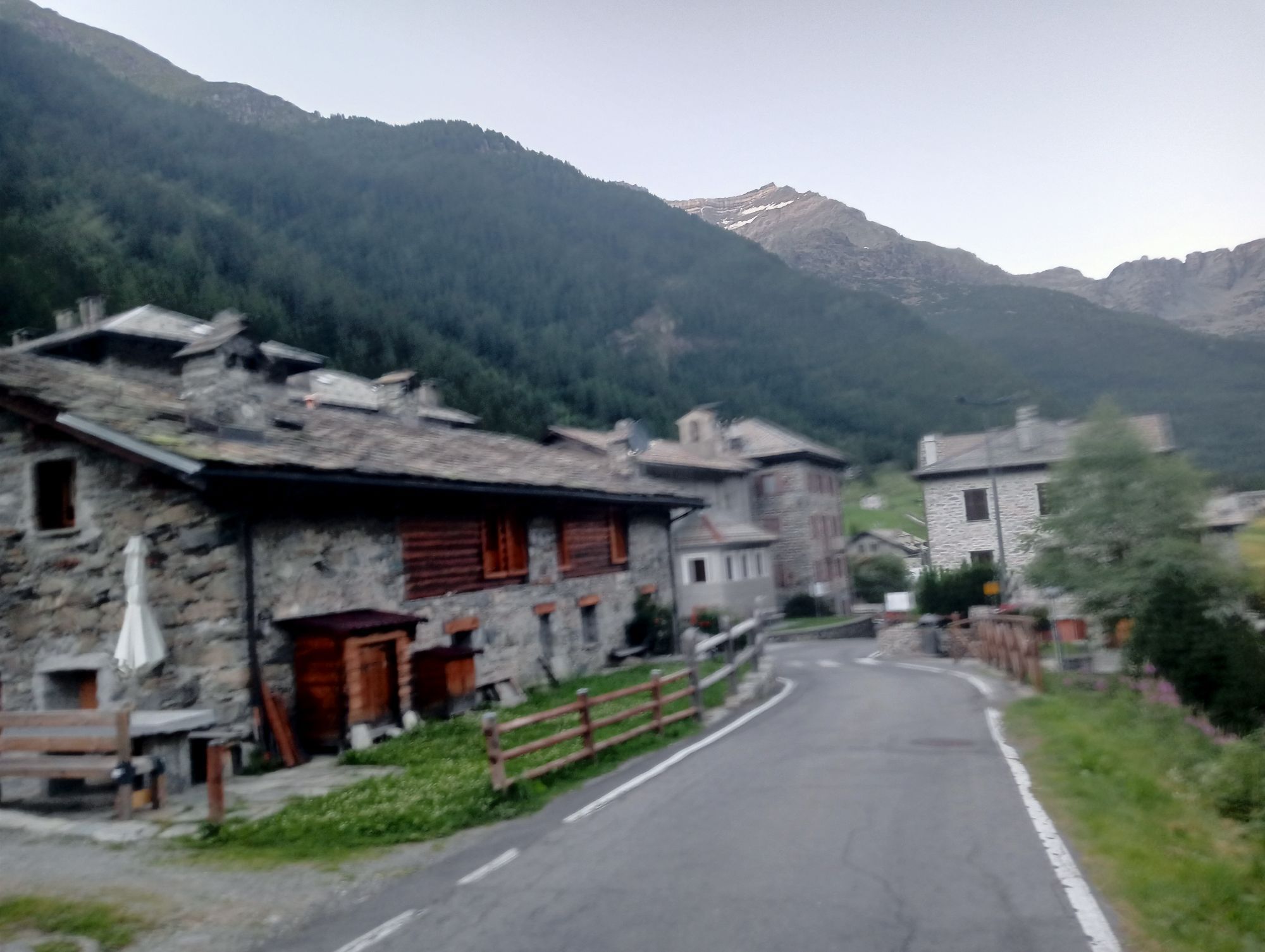
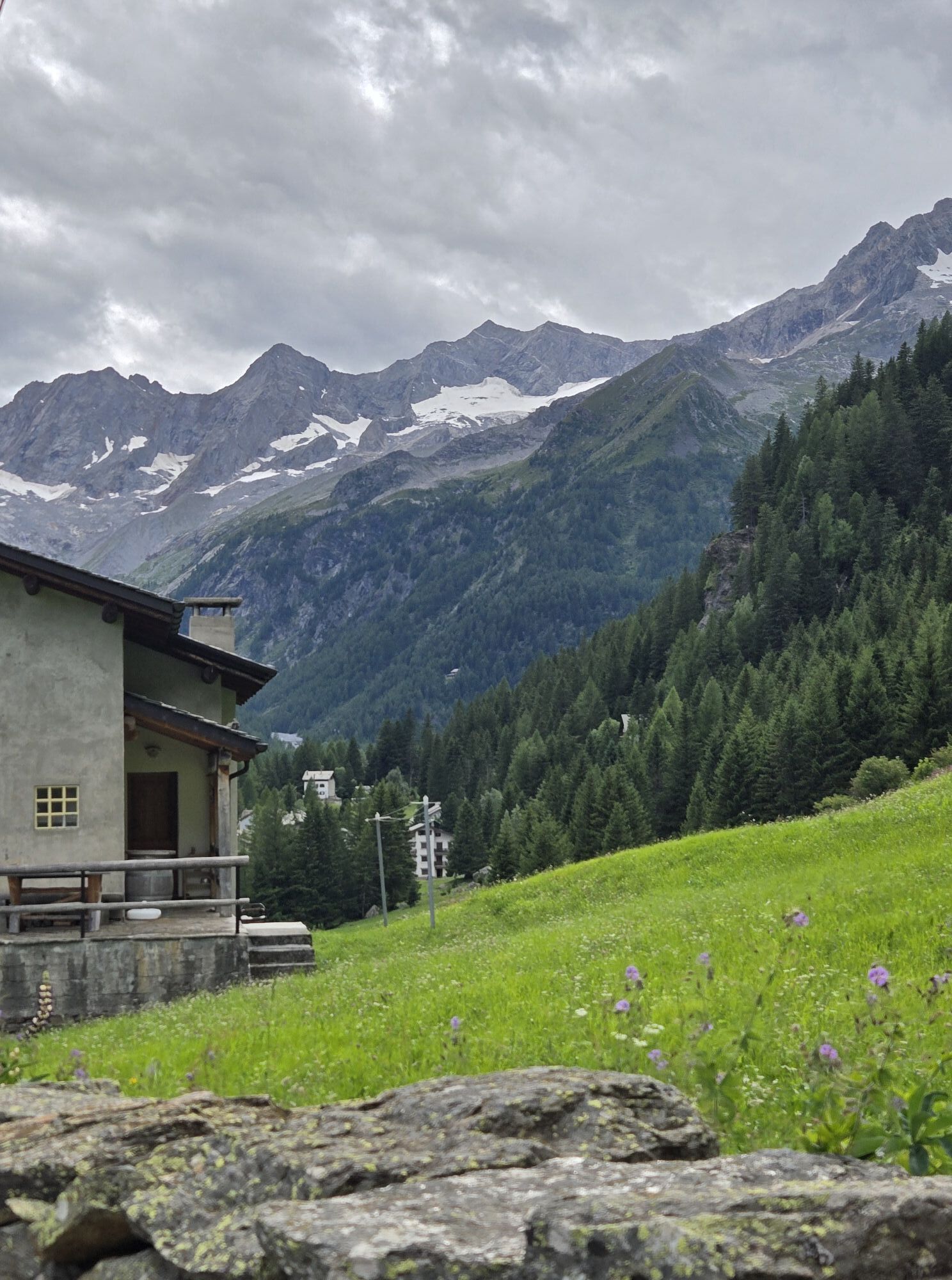
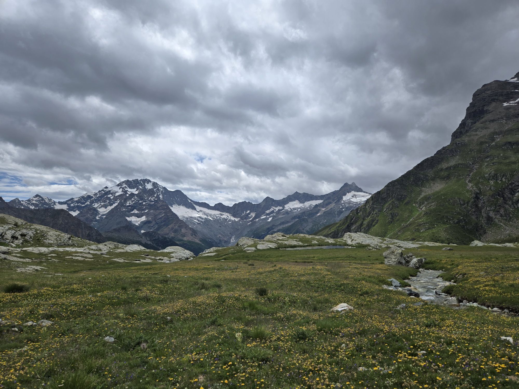
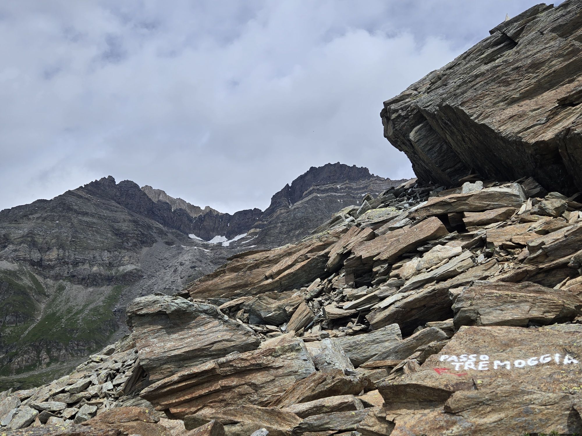
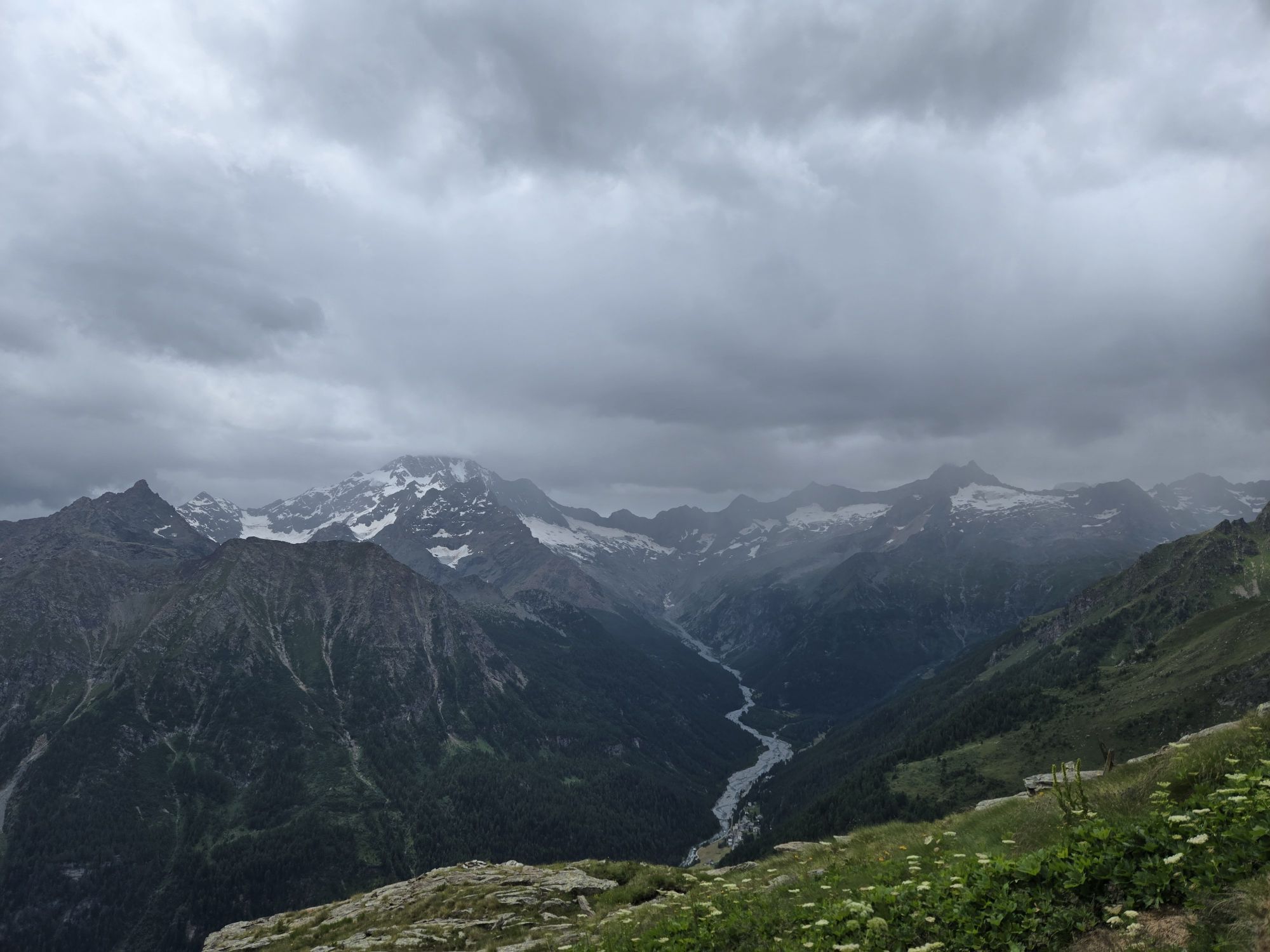
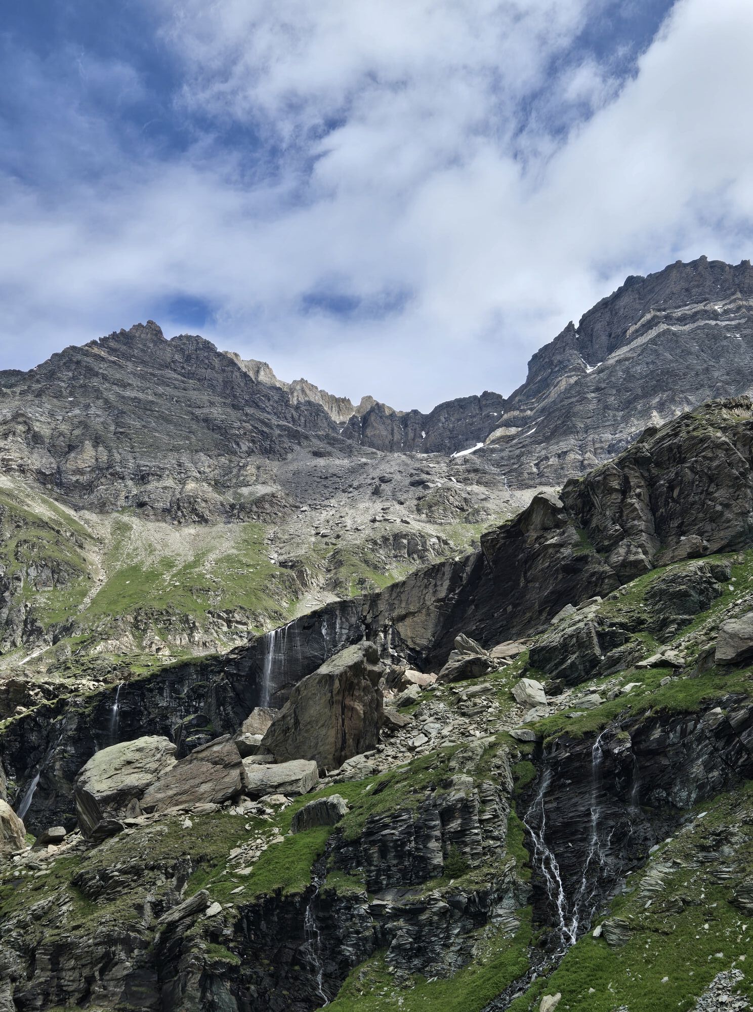
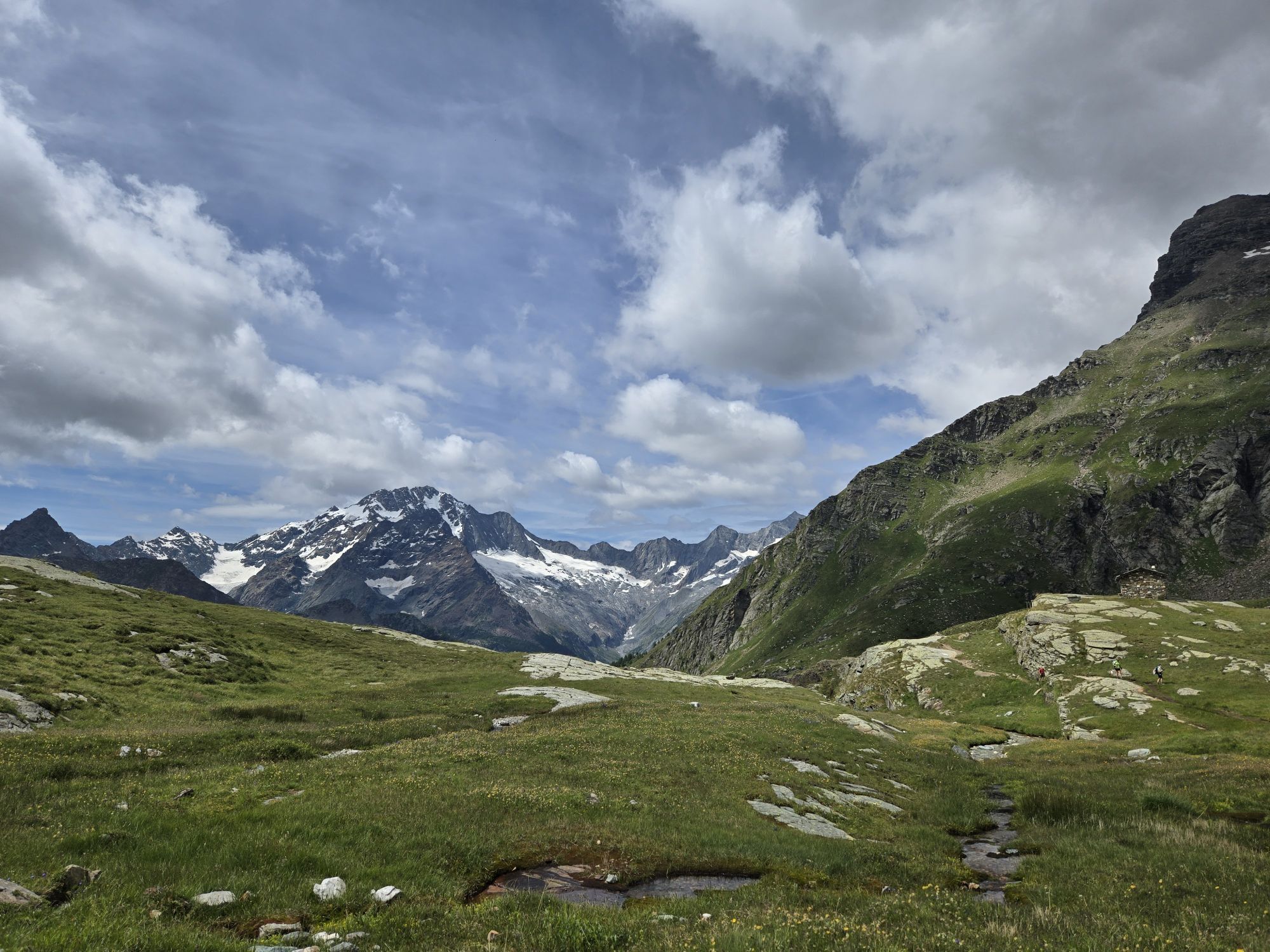
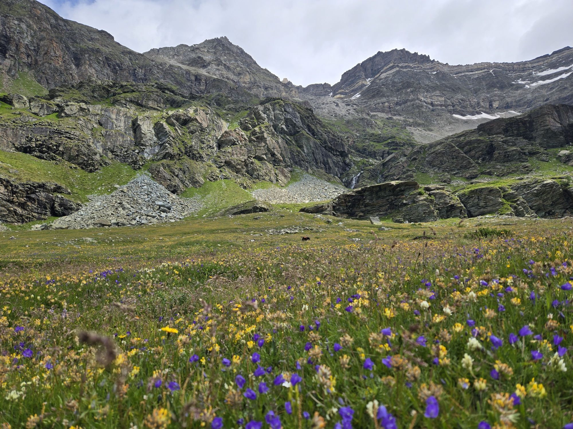
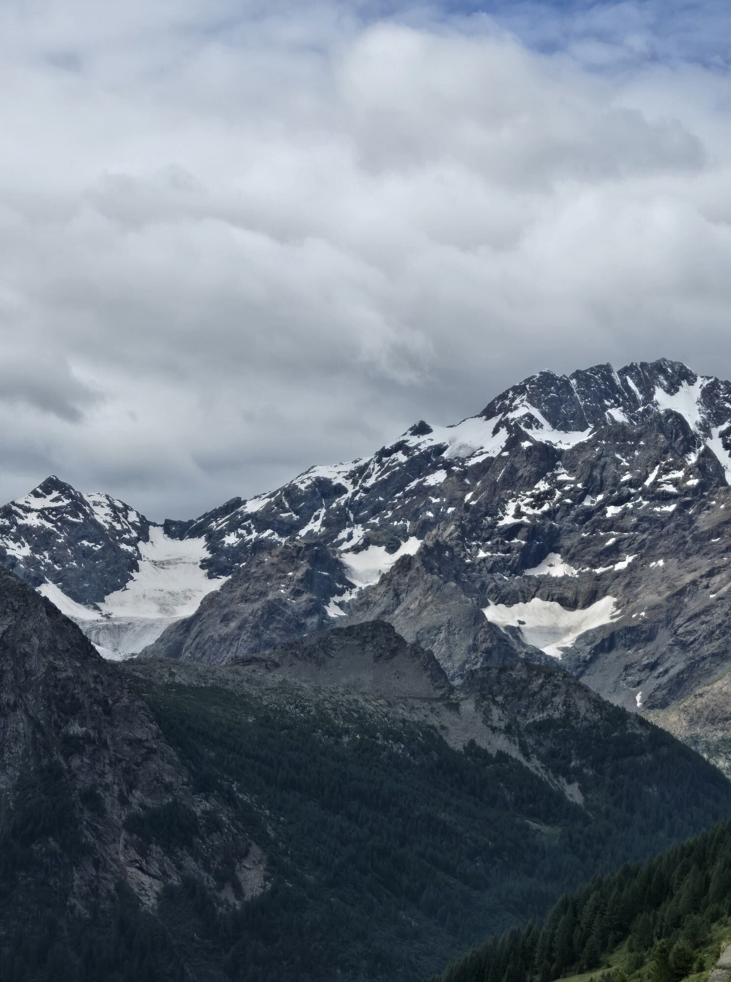
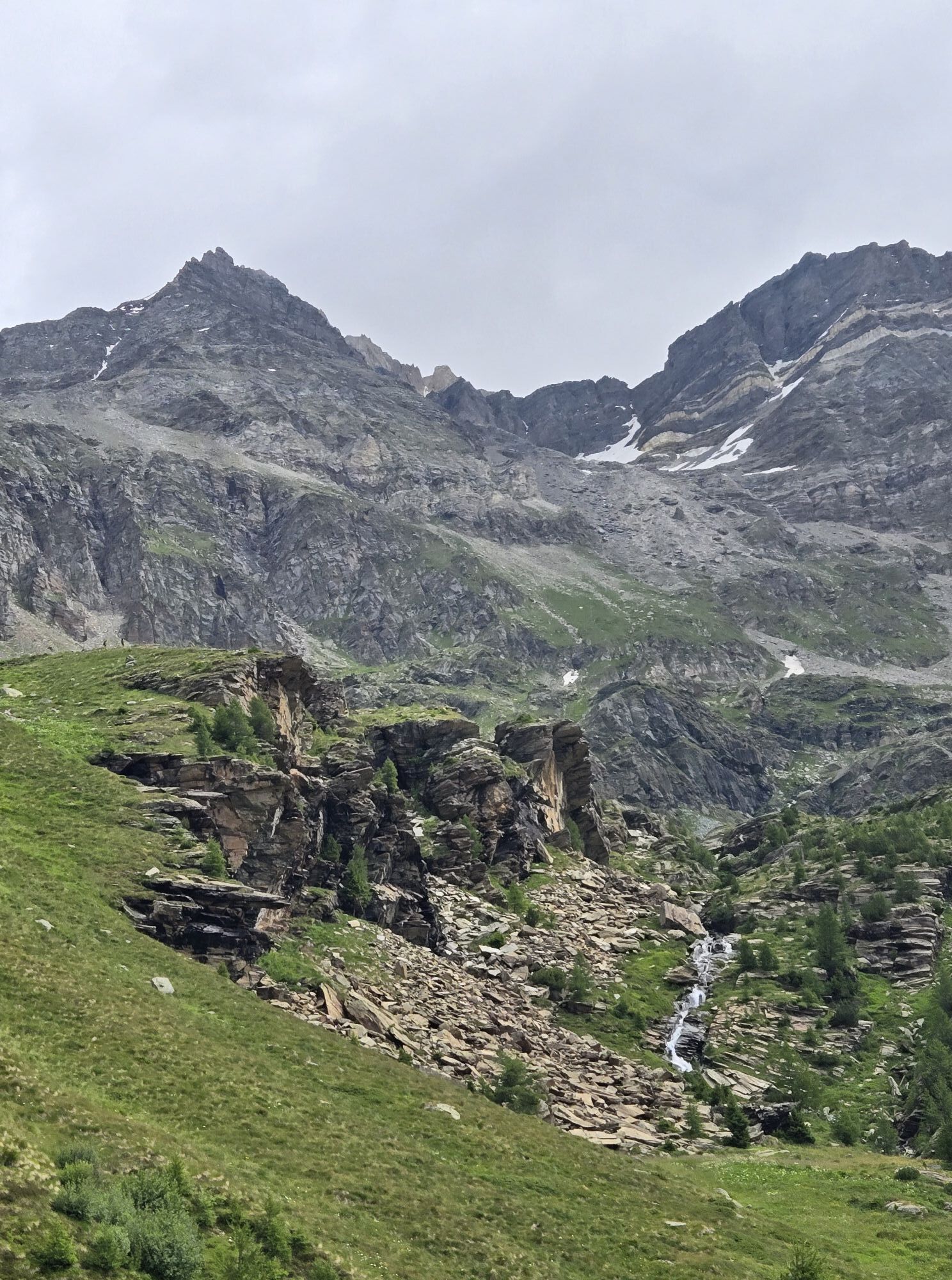
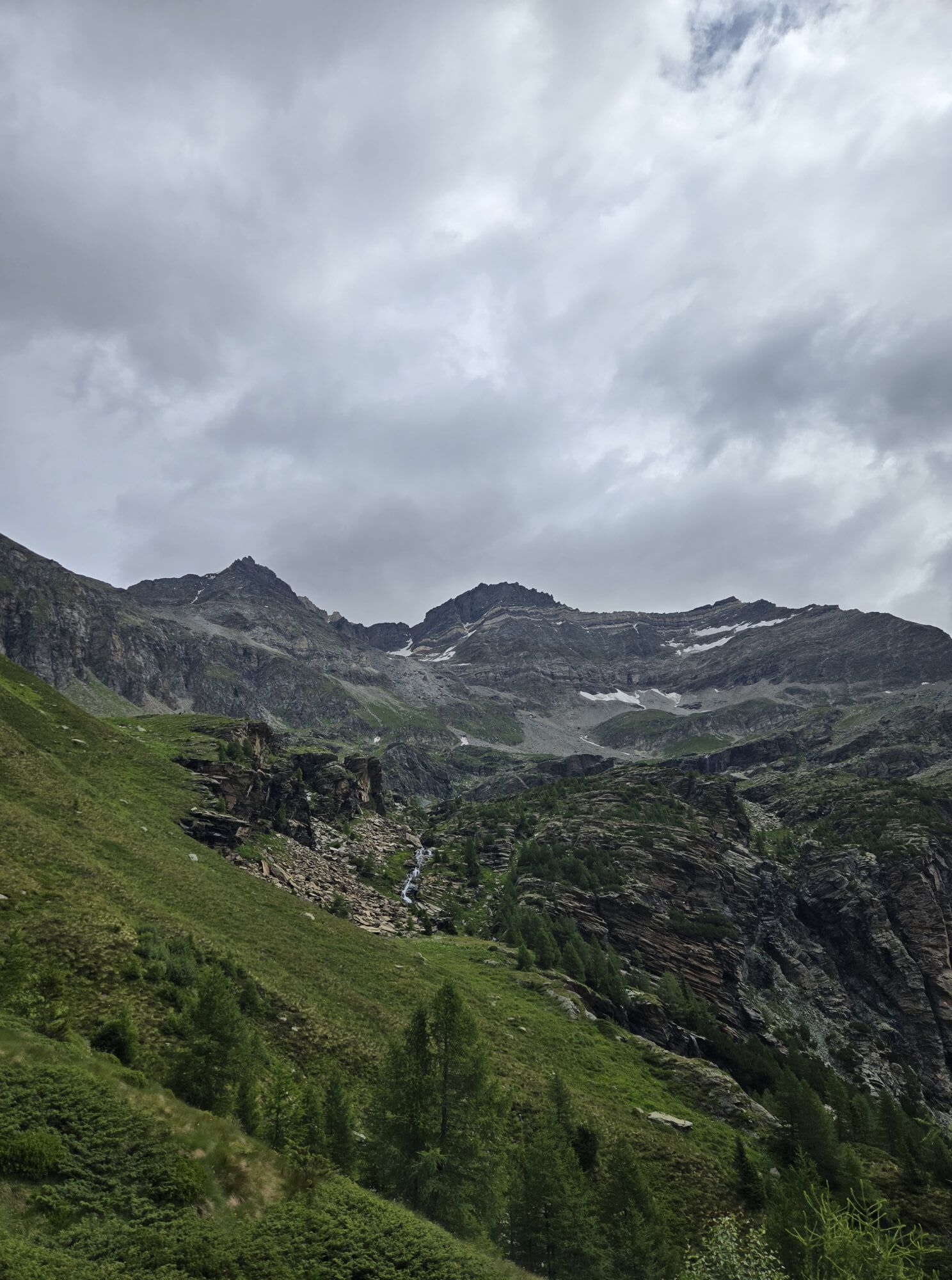
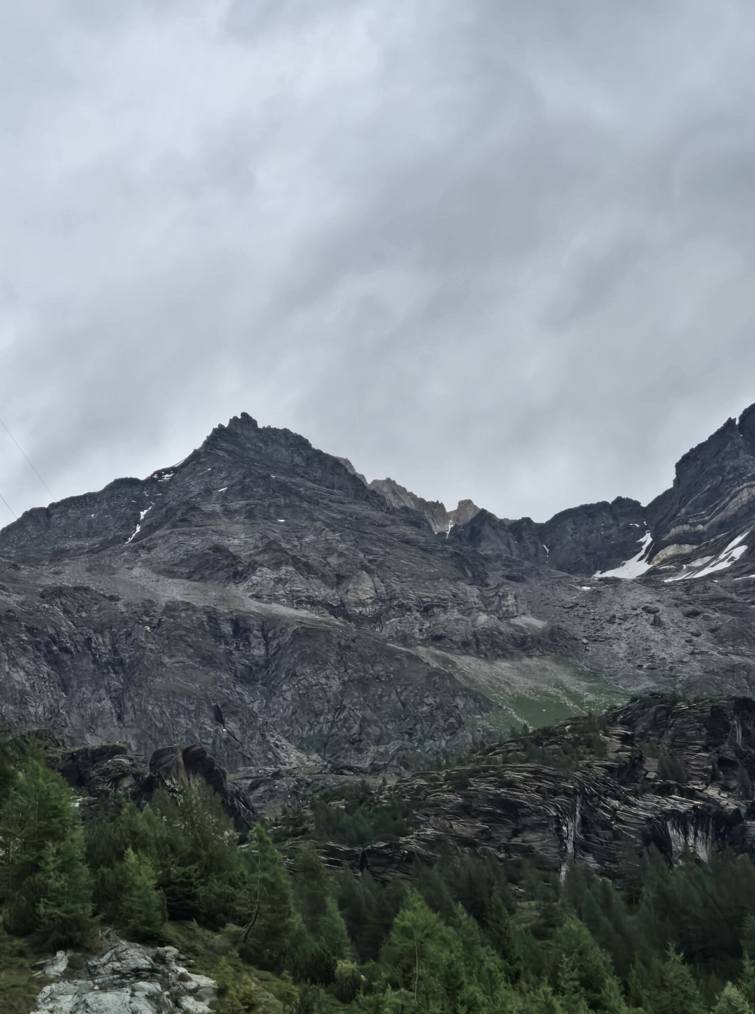
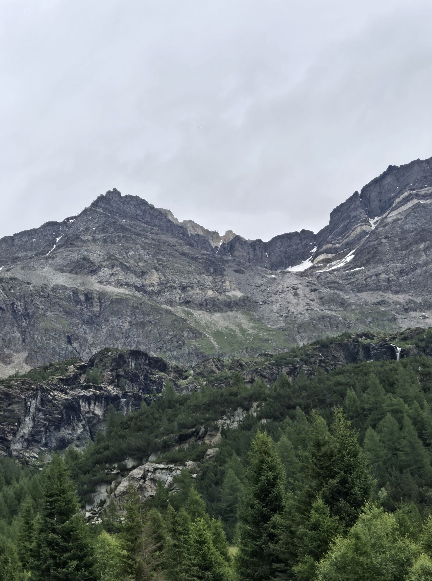
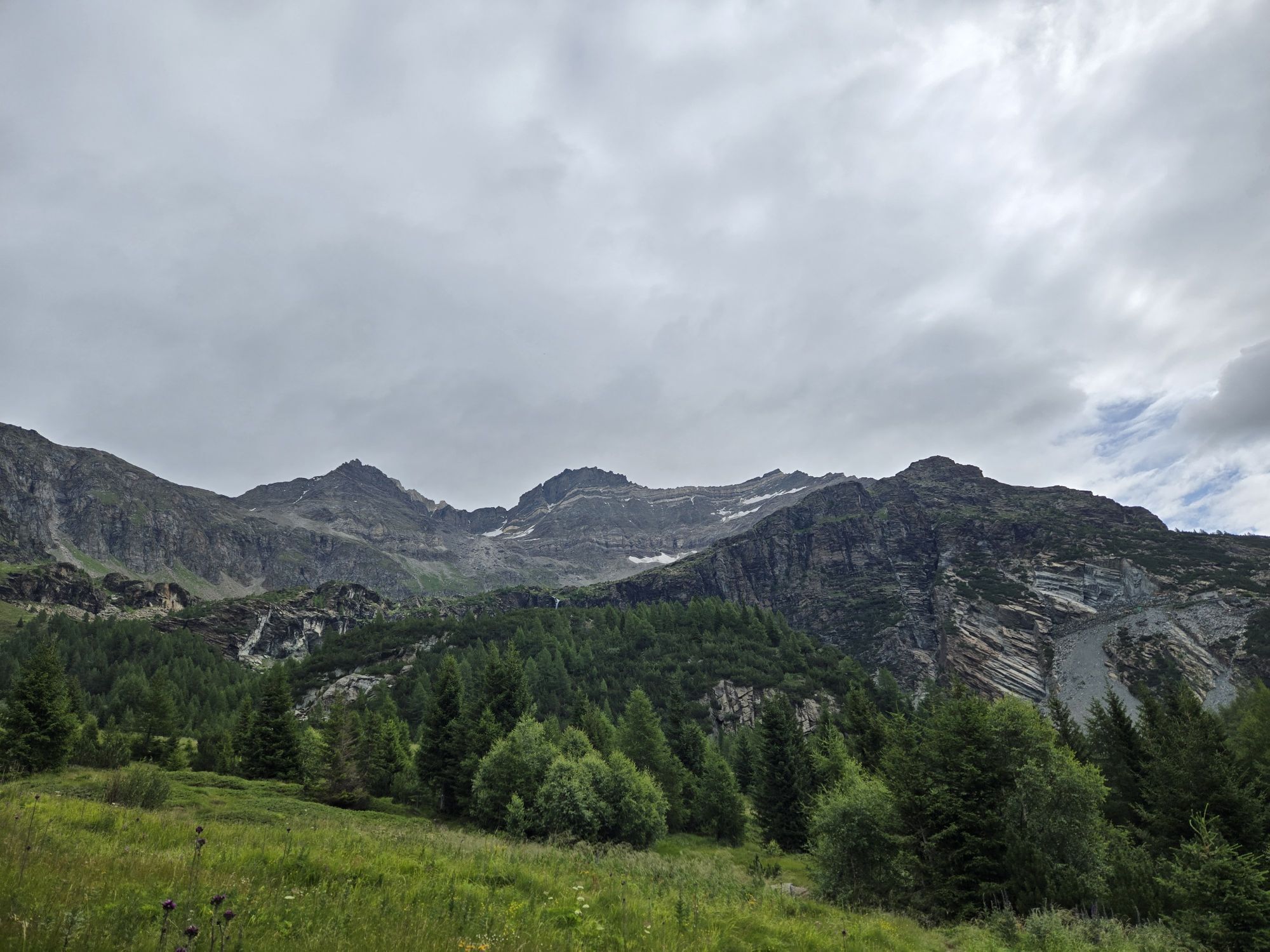
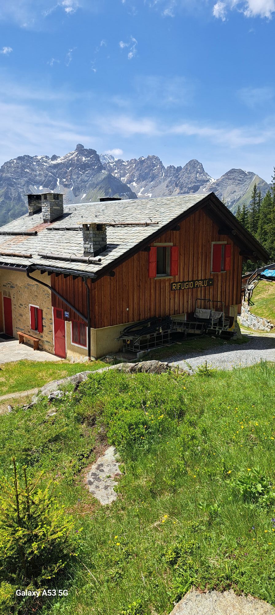

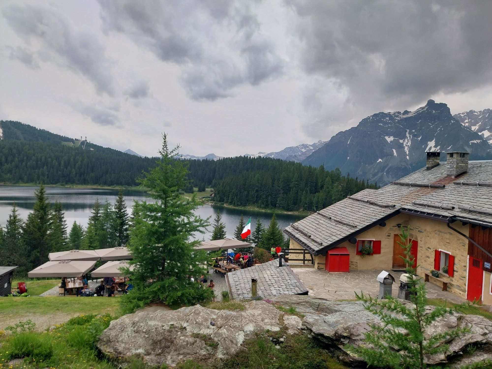
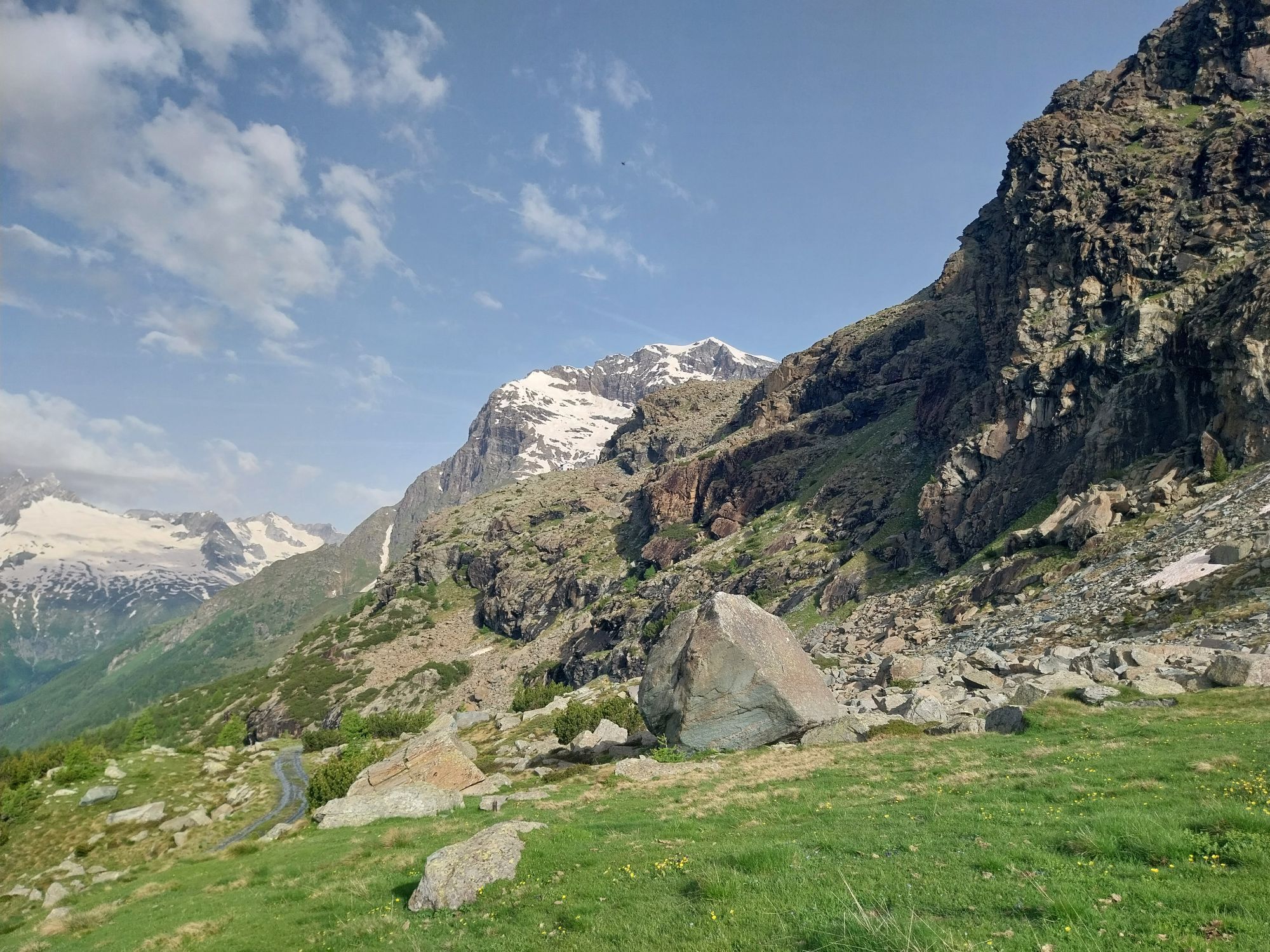
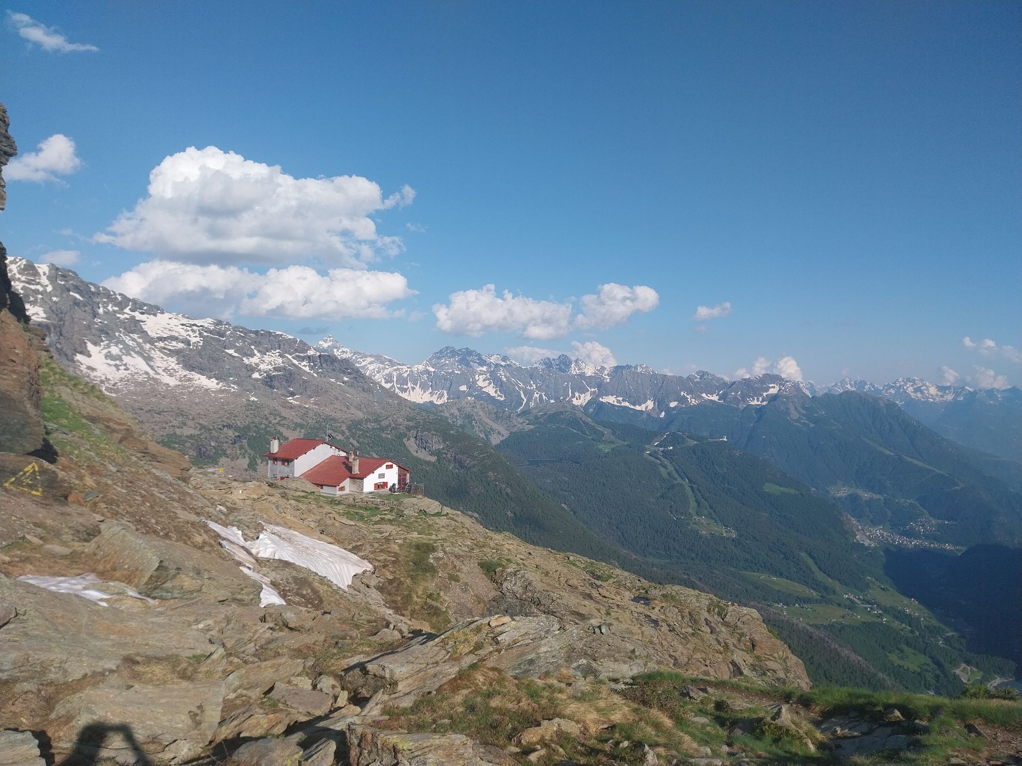
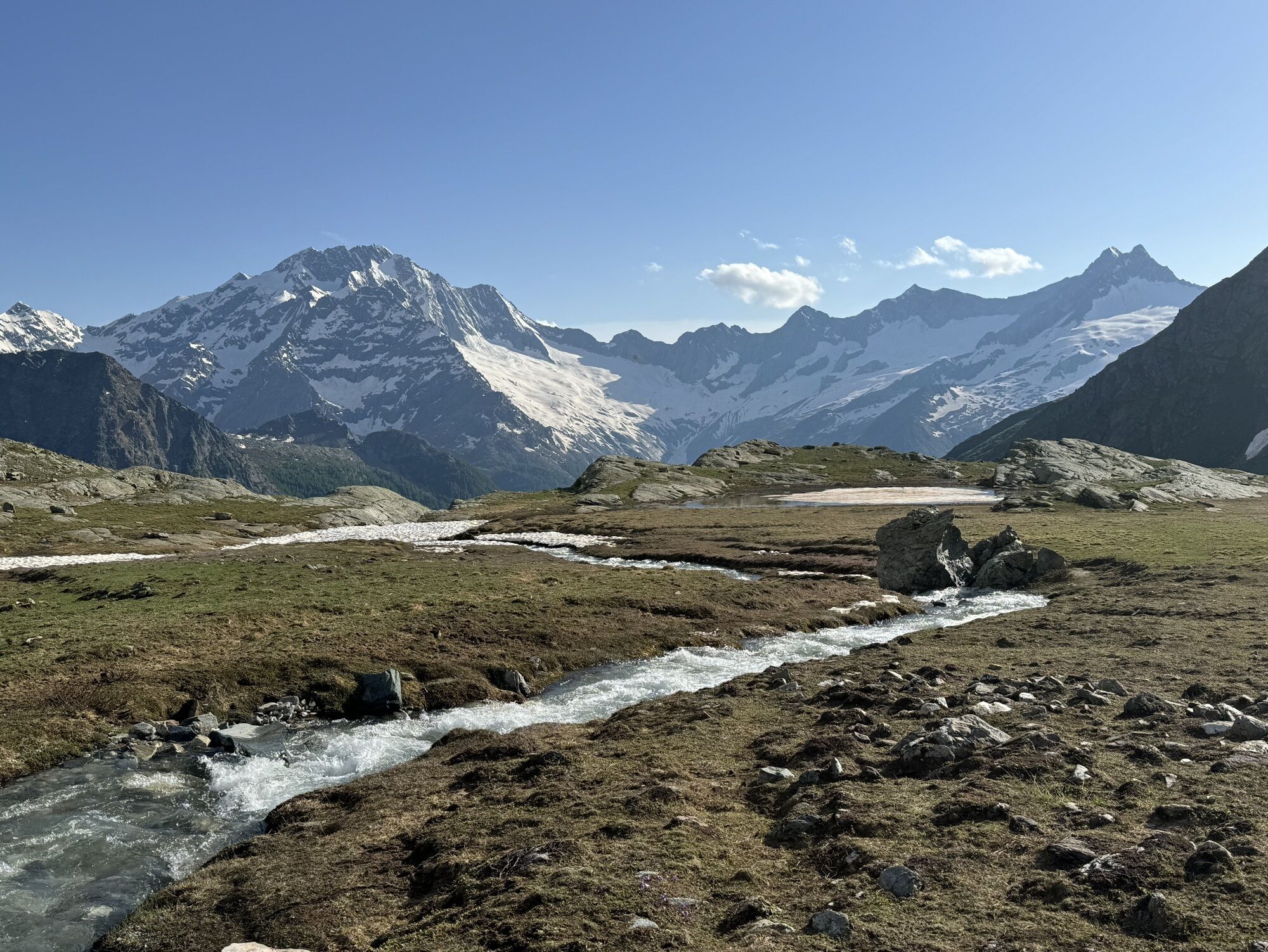
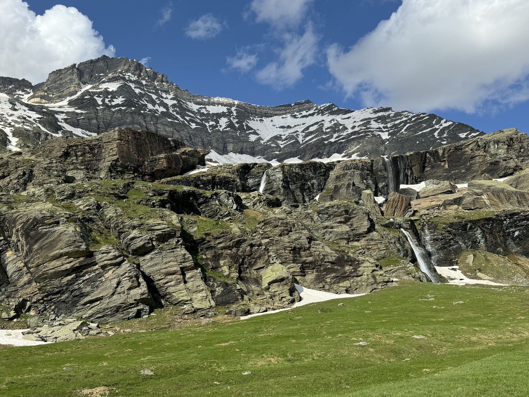
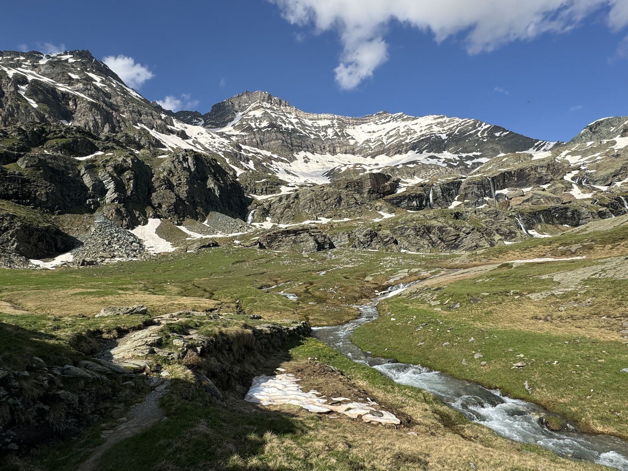
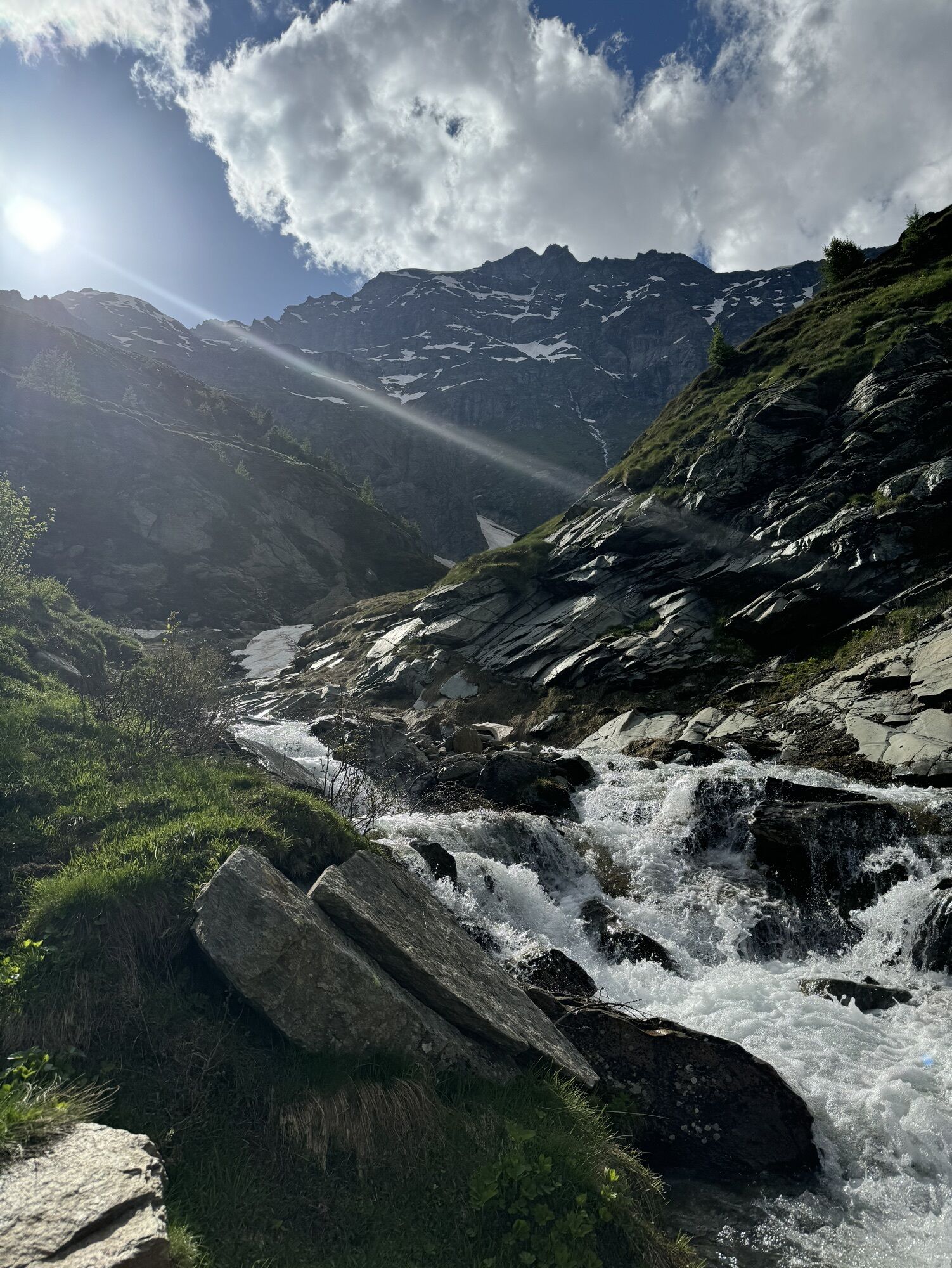
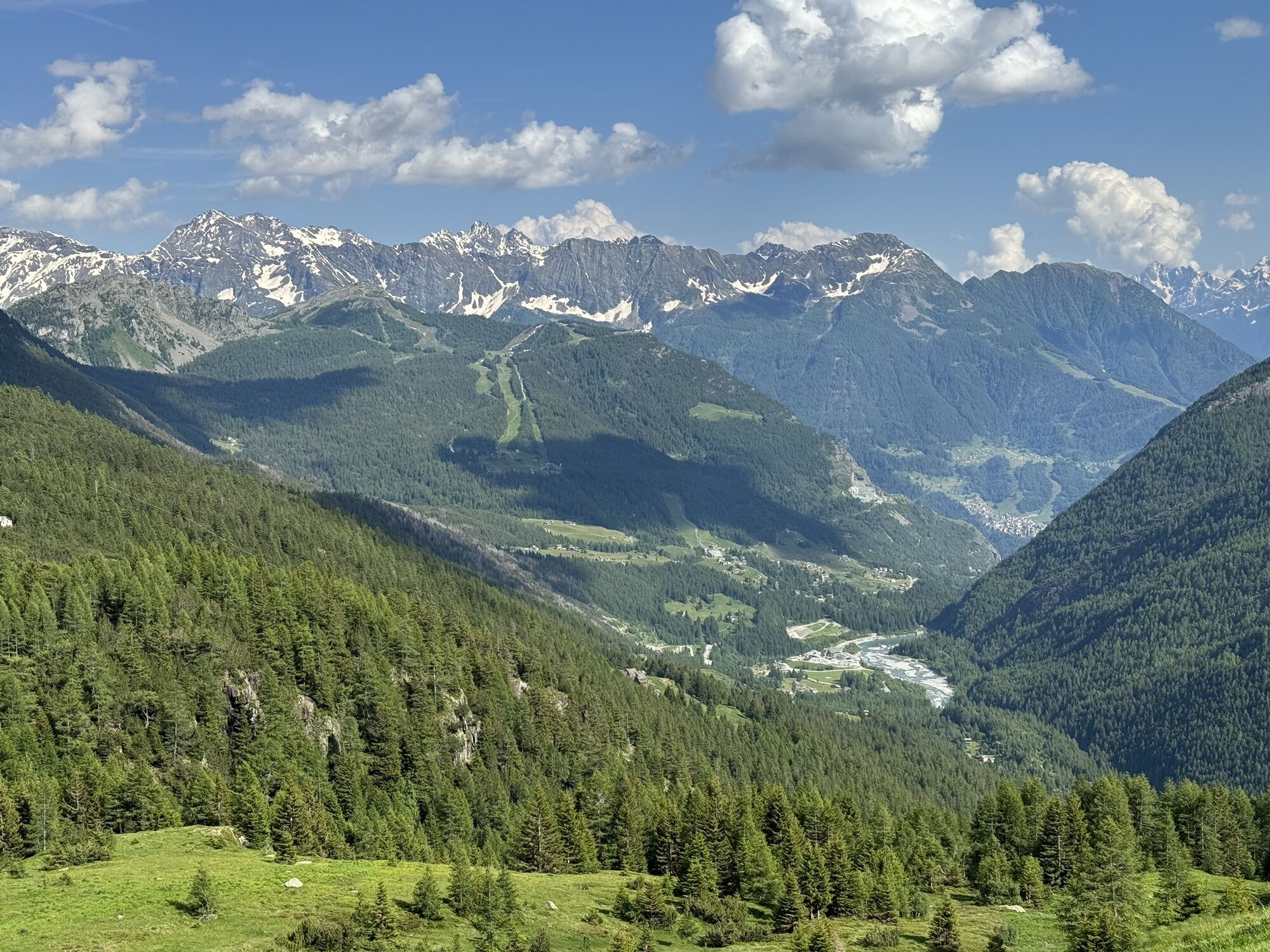
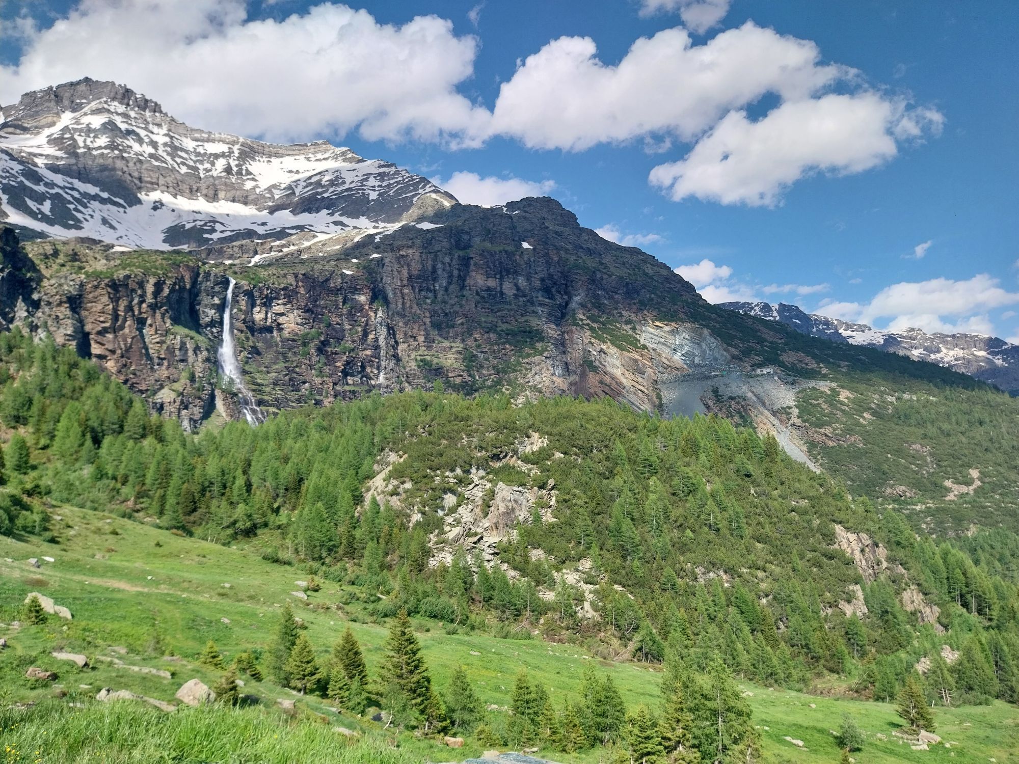
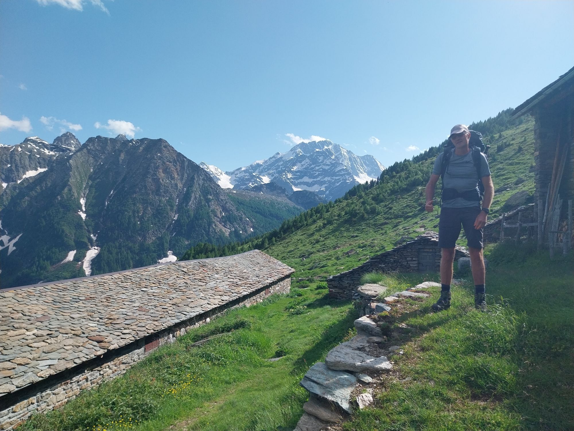
This stage allows the transfer from the valley of Chiareggio to the pleasant basin of Lago Palù, passing through the pastures of Alpe Fora, the panoramic balcony of Rif. Longoni, and the boulder fields...
This stage allows the transfer from the valley of Chiareggio to the pleasant basin of Lago Palù, passing through the pastures of Alpe Fora, the panoramic balcony of Rif. Longoni, and the boulder fields of Alpe Sasso Nero, abandoned, from which through a larch wood with a wide view there is a beautiful high view of Lago Palù.
There are several itinerary choices depending on the hikers' training level, their environmental preferences, and weather conditions. For those who are well-trained and prefer a "higher" variant, it is possible to shorten the Alta Via route by one day and combine stages 4 and 5, skipping the overnight stay at Rifugio Palù and proceeding directly to Capanna Marinelli-Bombardieri via the former Entova-Scerscen refuge near the lower Scerscen glacier. This itinerary allows one to move from the heart of the Disgrazia group to the foothills of the Bernina group.
In case of bad weather, it is instead possible to reach San Giuseppe from Chiareggio by public bus, then ascend to Barchi and continue along an easy dirt road to Lago Palù and its namesake refuge.
It is also possible to split the route, staying overnight at Rif. Longoni, to continue later on the base route of the Alta Via.

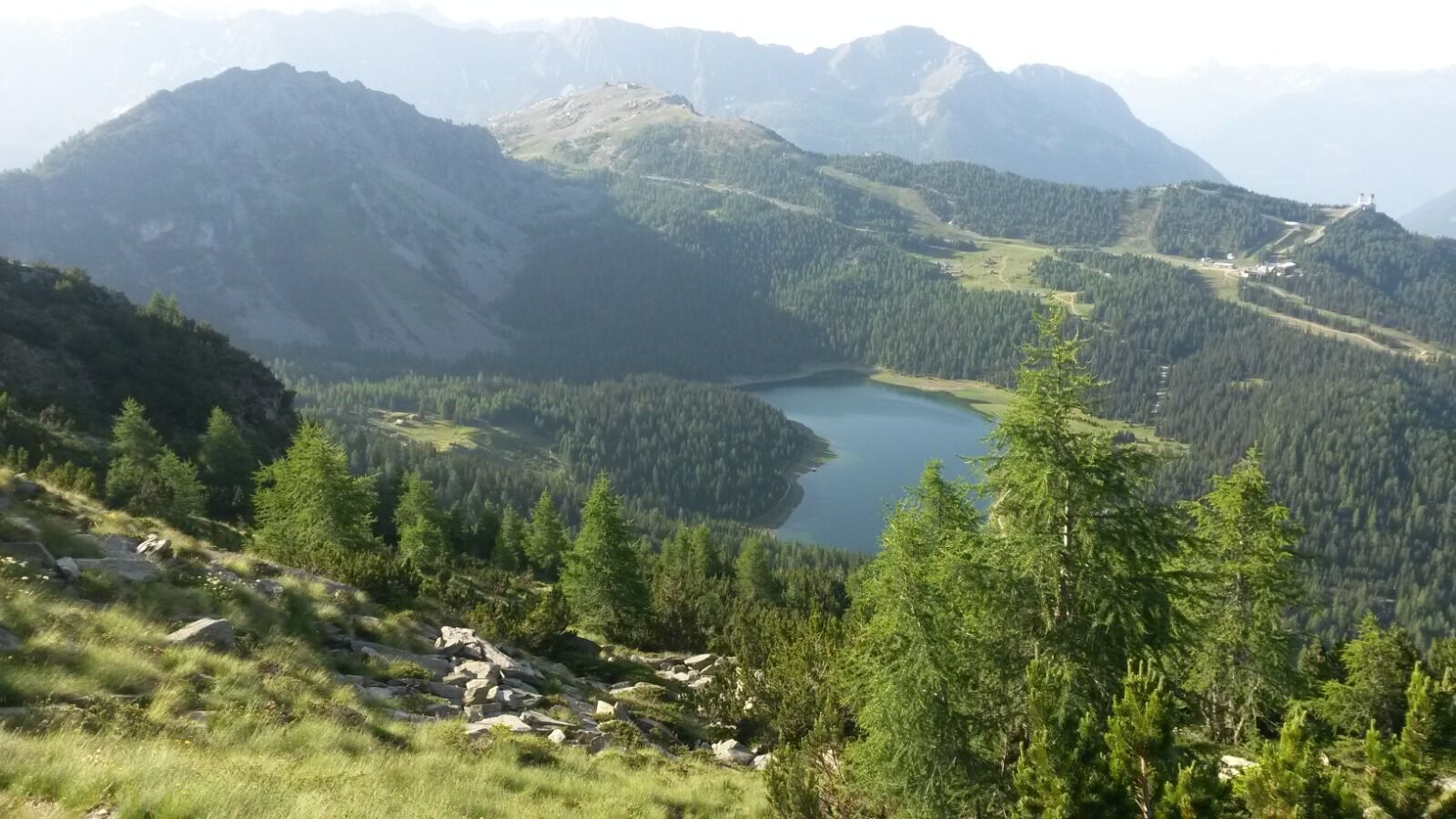
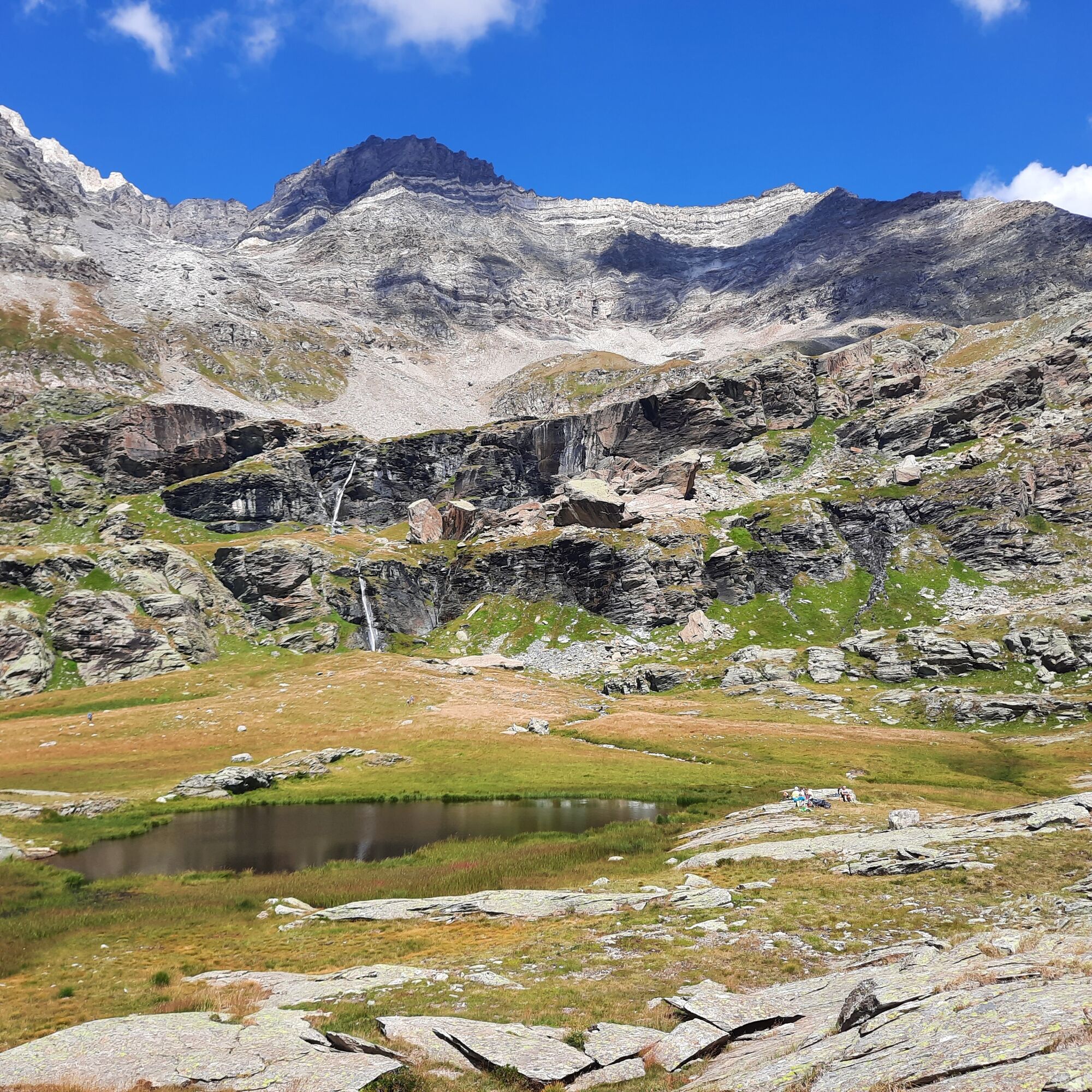
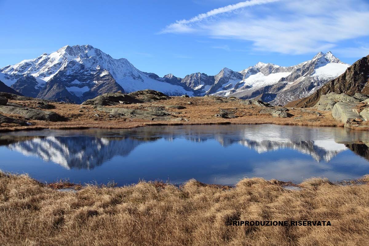
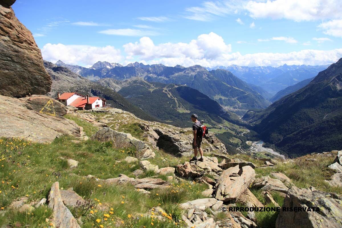
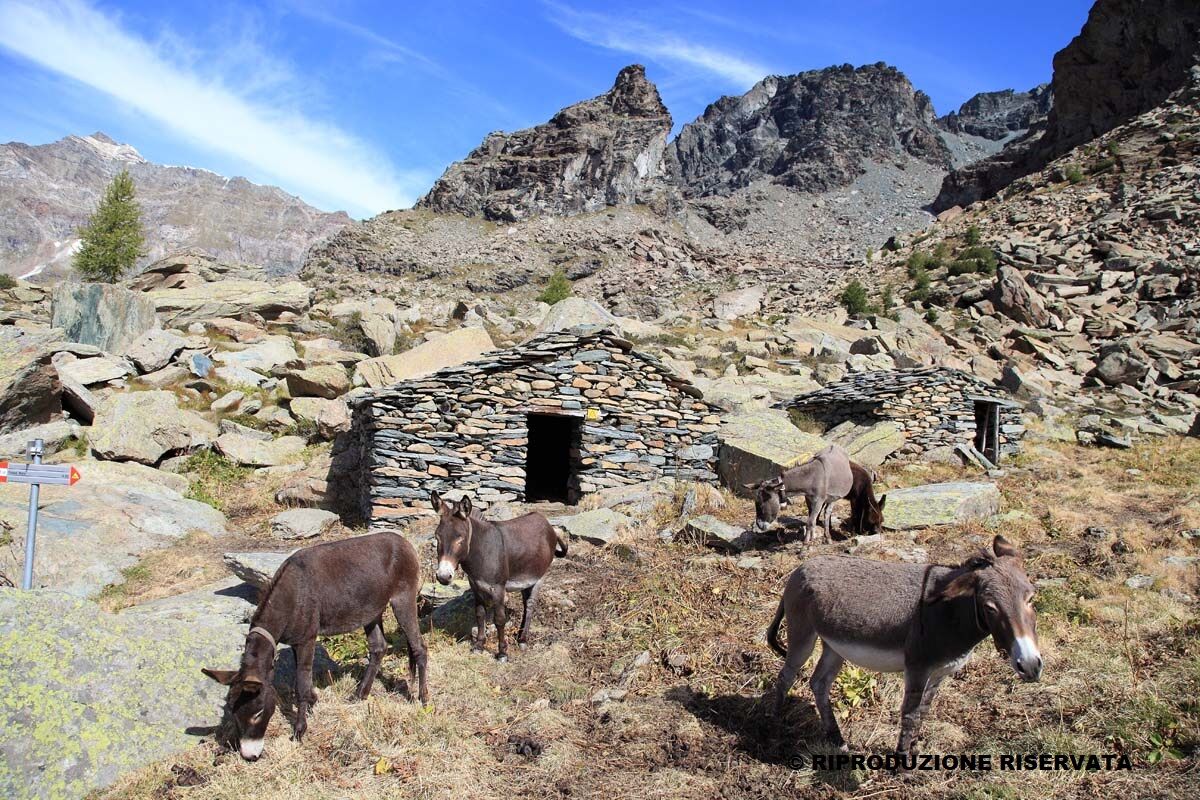

Rifugio Longoni; Rifugio Lago Palù
Webové kamery z prehliadky
-
Badia - Piz La Ila Moritzino
-
Valmalenco Alpe Palù - Cima Motta
-
Badia - Piz La Ila Moritzino
-
Badia - Piz La Ila Moritzino
-
Badia - Piz La Ila Moritzino
-
Badia - Piz La Ila Moritzino
-
Chiareggio
-
Dal Rifugio del Grande - Camerini
-
Dal Rifugio Zoia
-
Valmalenco Ski area: Campo scuola
-
Valmalenco Ski area: pista Thoeni
-
Massiccio del Disgrazia
-
Vallata di Chiareggio e San Giuseppe
-
Valmalenco Ski area: Pista blu Dosso
Získajte prehľad
Vždy naživo na mieste s viac ako 9 500 webovými kamerami. bergfex Ako používateľ Pro si teraz môžete pozrieť príslušné webové kamery pre mnohé zájazdy v aplikácii zájazdy z. Môžete si tak priamo prezerať aktuálne podmienky.
Obľúbené výlety v okolí
-
4,7
Diavolezza - Munt Pers
svetloTuristika 3,82 km -
5,0
Morteratsch station - Boval Hut
strednáTuristika 10,5 km -
4,8
Maloja - Motta Salacina - Lägh da Cavloc - Maloja
strednáTuristika 10,3 km -
4,7
SAC Tschierva
svetloTuristika 24,7 km -
4,2
Piz Palü (3.905m) – Hochtour
strednáVysoké turné 13,4 km -
4,8
Val Roseg - Tschierva Hut
strednáTuristika 5,12 km -
4,8
Corvatsch Murtèl - Fuorcla Surlej
strednáTuristika 4,52 km -
5,0
Maloja-Piz Lunghin-Pass Lunghin-See Lunghin- Blaunca- Maloja
strednáTuristika 15,5 km -
Mittelstation Murtèl – Fuorcla Surlej – Val Roseg – Pontresina
strednáTuristika 23,5 km -
3,7
721 Senda Ils Lejins Sils/Furtschellas
strednáTuristika 6,02 km
Turistika a stopovanie


Nenechajte si ujsť ponuky a inšpiráciu na ďalšiu dovolenku
Vaša e-mailová adresa bol pridaný do poštového zoznamu.





