







Schiazzera Five Crazy Down
THE ASCENT
From the square of the Tirano bus station, follow the right bank of the Adda river and enter the Valtellina Trail, following it until Lovero. Cross the bridge and reach Vervio, from where an...
THE ASCENT
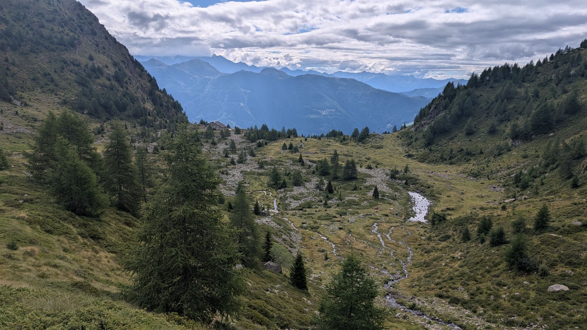
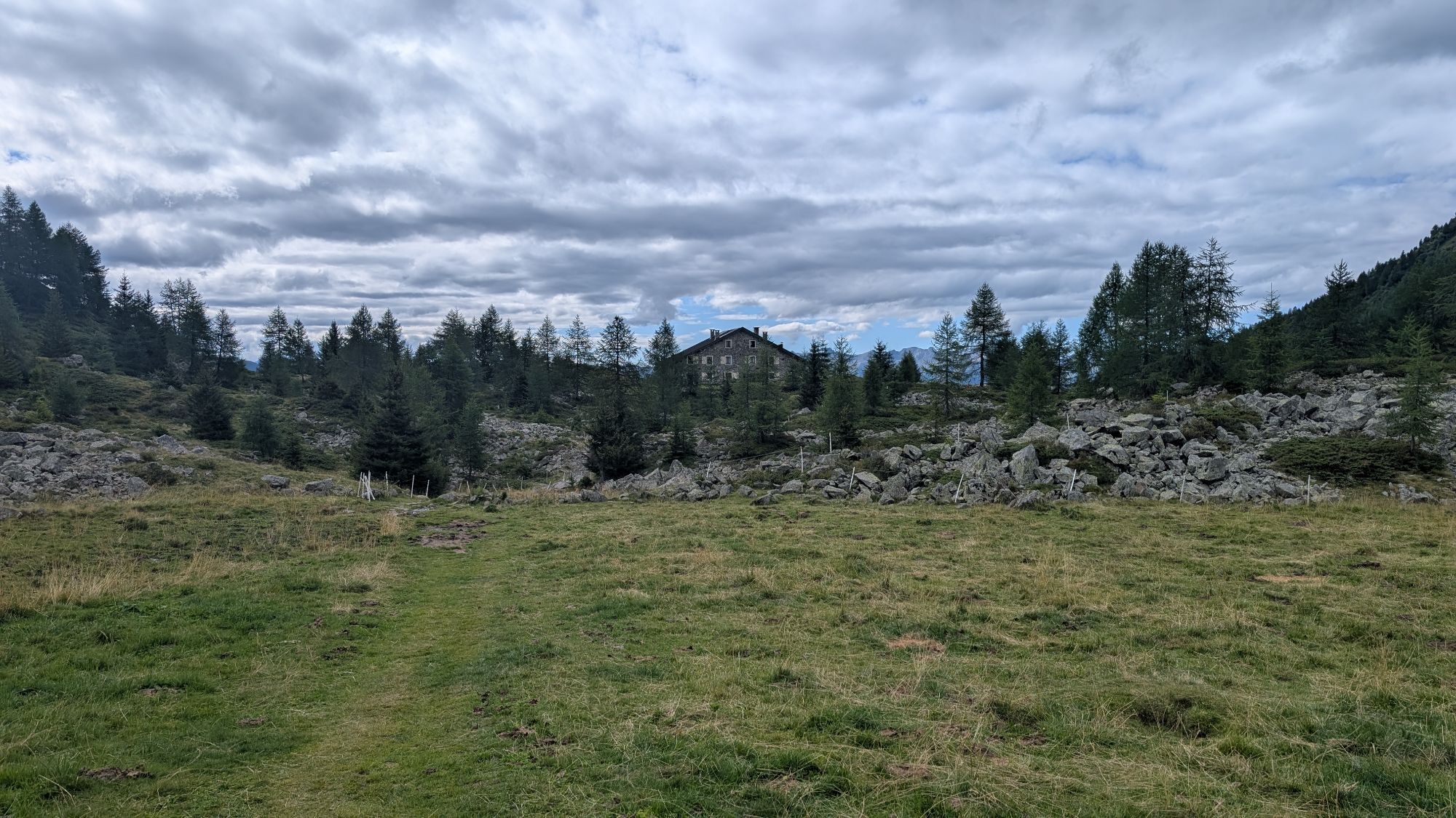
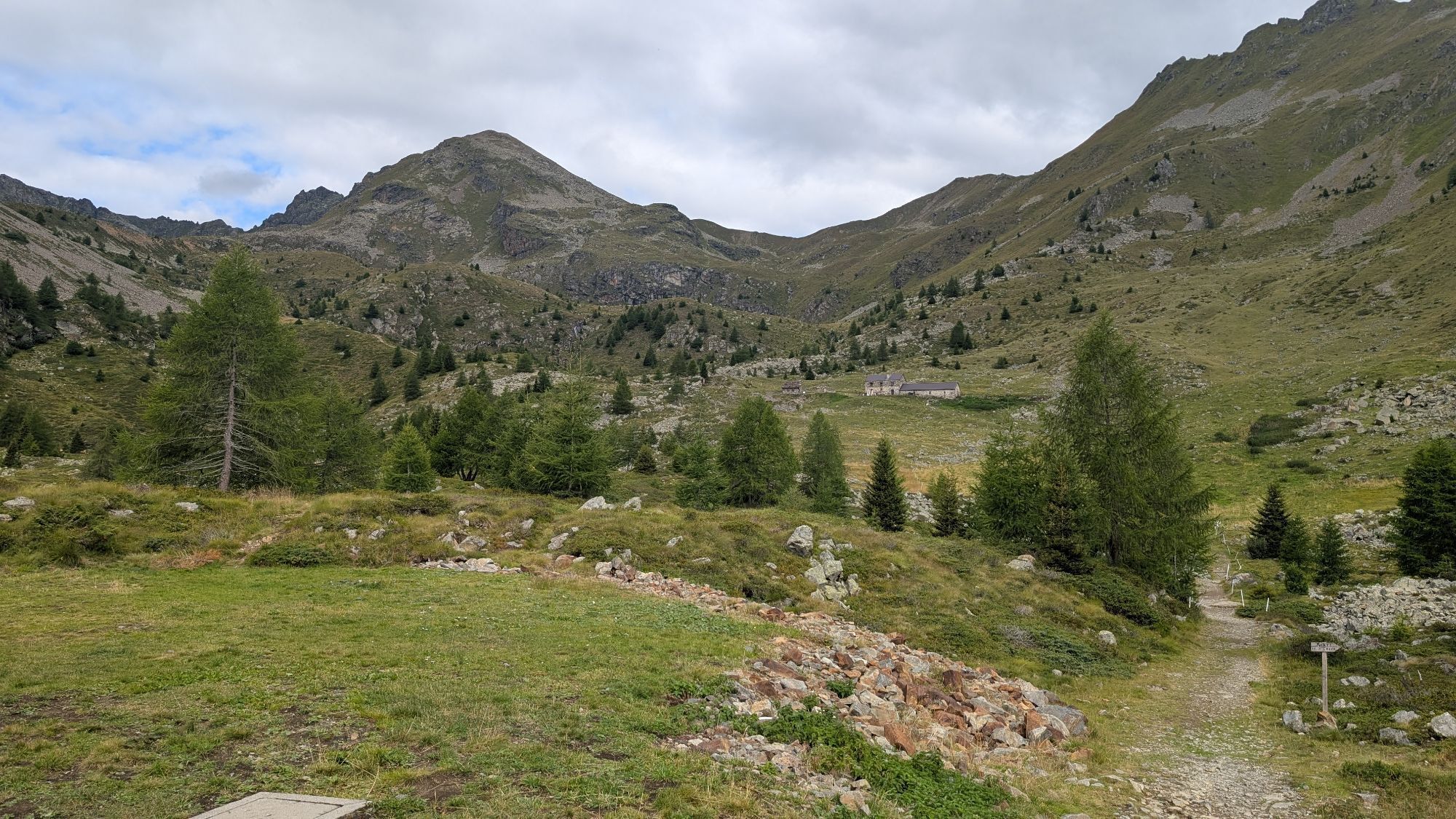
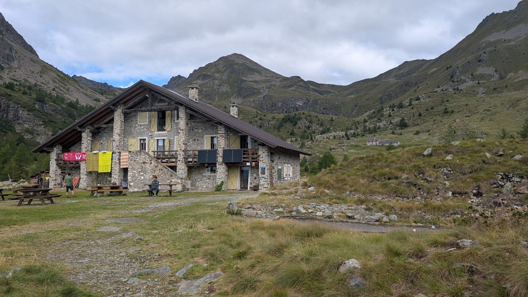
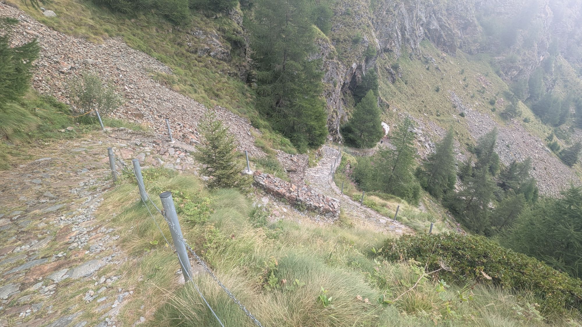
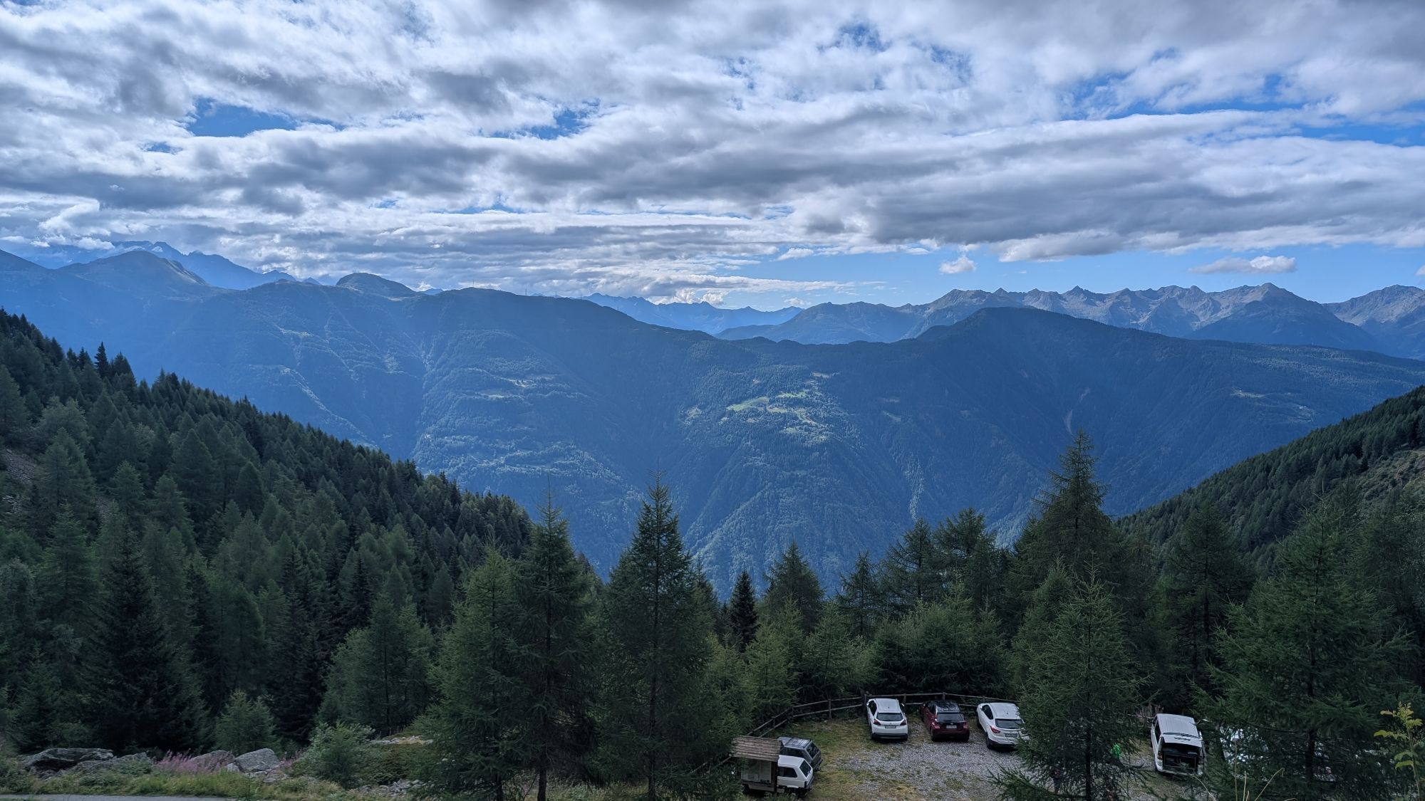
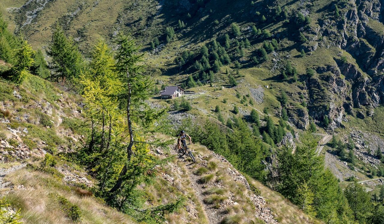
From the square of the Tirano bus station, follow the right bank of the Adda river and enter the Valtellina Trail, following it until Lovero. Cross the bridge and reach Vervio, from where an asphalt road climbs to Alpe Susen. Then continue on a dirt road to the parking lot located below the Schiazzera Refuge (2:30 hours). From the parking lot, push the bike for ten minutes up to Schiazzera Refuge (2077 m a.s.l.) and then climb along a trail, sometimes pushing the bike, until you meet the Italy Trail at 2176 m (step 1 sign). From here, pedaling on a mule track, reach the maximum altitude of the route at 2210 m a.s.l.
THE DESCENT
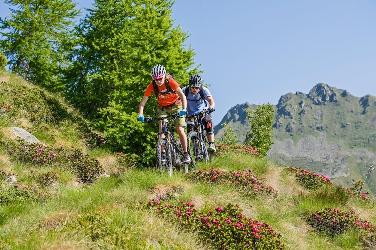
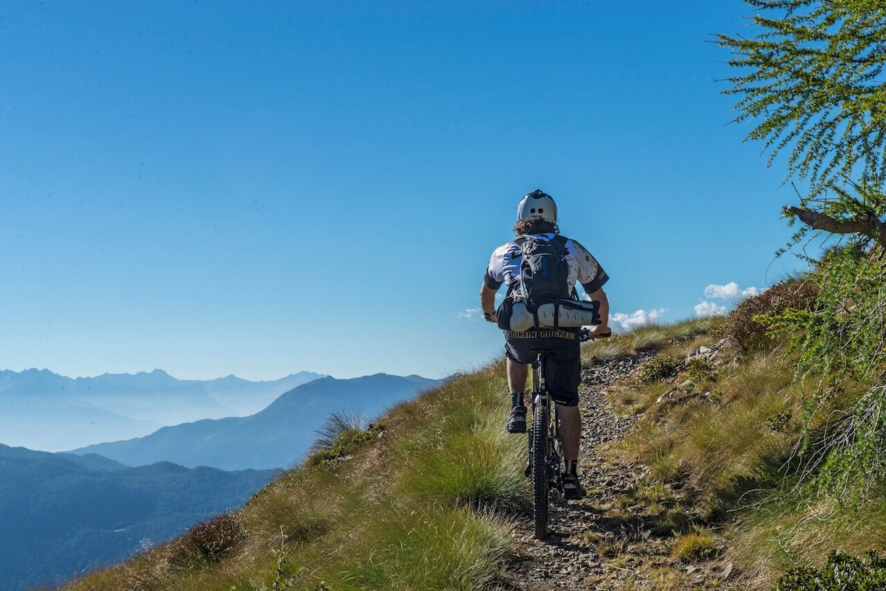
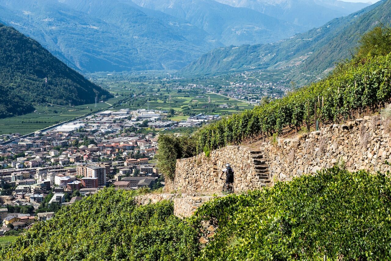
From Schiazzera to Tirano 12 km 1782 m. Descent appreciated for its length, smoothness, and absence of steep slopes or difficult sections, with frequent alternation of trails, dirt roads, and asphalt. The first stretch up to Sovo (step 2 sign) is all on an easy trail. From here, follow a dirt road, then turn left onto a mule track with several hairpin turns, then again a dirt road and finally asphalt until reaching above Baruffini (step 3 sign). The final part descending to Tirano develops among vineyards planted on terraces that extend for kilometers on the Rhaetian side towards the Lower Valtellina.


Obľúbené výlety v okolí
-
4,0
Giro del Lago - Le prese - Miralago
svetloTuristika 7,43 km -
Val dal Saient - Short version
Turistika 11,4 km -
5,0
32.05 Poschiavo - Tirano, Trans Altarezia Bike
ťažkéMountainbike 29,1 km -
5,0
Runchett da Sotsassa
strednáTematická trasa 1,54 km -
Charcoal Burner Route San Romerio
ťažkéTematická trasa 2,91 km -
33.10 Le Prese - Tirano, Via Albula / Bernina
strednáTuristika 14,6 km -
Lagh dal Teo - The gem at the foot of Piz dal Teo
Turistika 15,8 km -
30.06 Alp Grüm - S. Romerio, ViaValtellina
strednáTuristika 20,0 km -
Schmugglerweg
Turistika 9,11 km -
30.07 S. Romerio - Tirano (I), ViaValtellina
ťažkéTuristika 12,2 km
Turistika a stopovanie


Nenechajte si ujsť ponuky a inšpiráciu na ďalšiu dovolenku
Vaša e-mailová adresa bol pridaný do poštového zoznamu.





