





La Grosina Five Crazy Down

Úroveň náročnosti: S2
THE CLIMB From Grosio Weigh station parking (by car or by bike). The climb from Grosio is never steep, but very long (15,5 Km from Grosio to eita), that's why the most suitable solution would be driving...
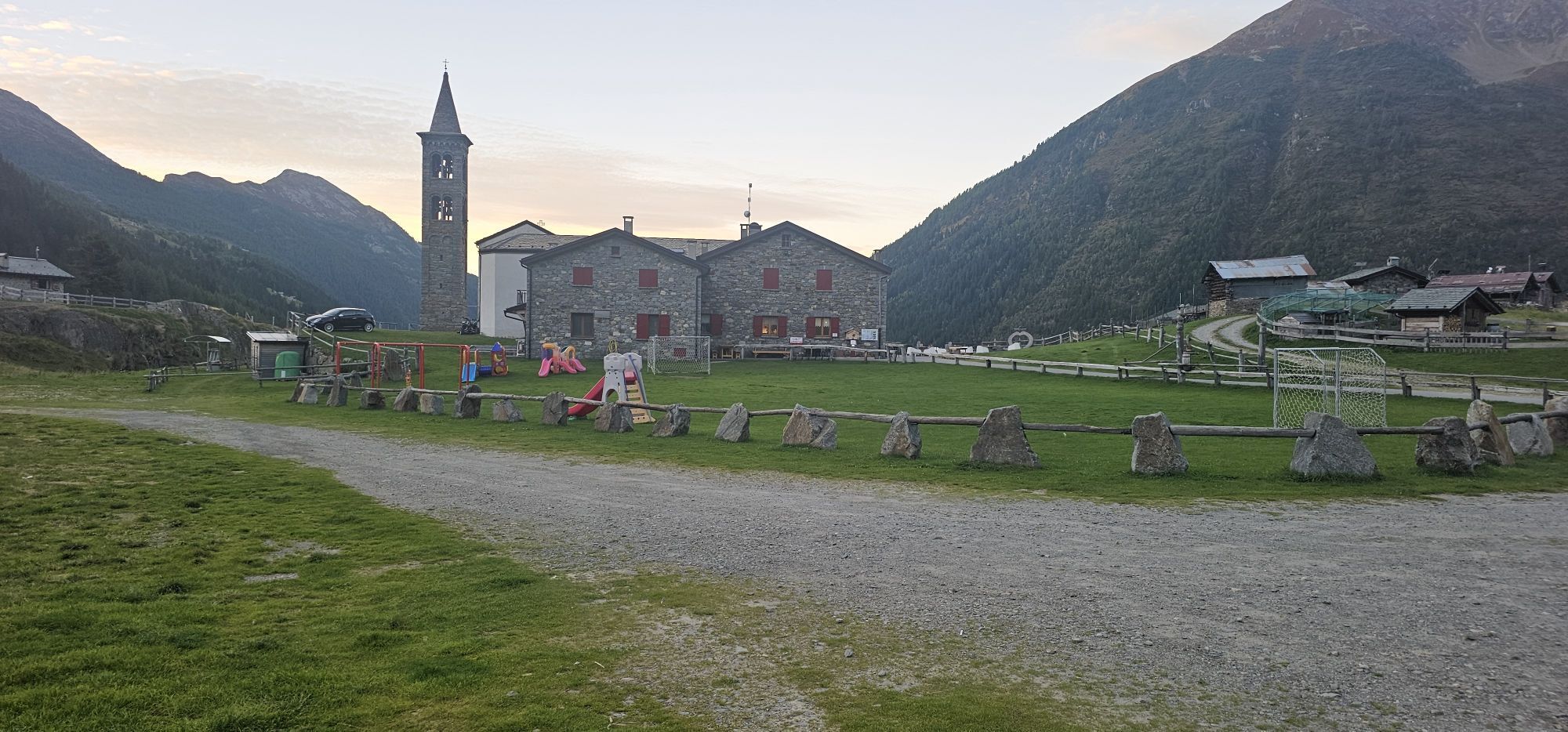
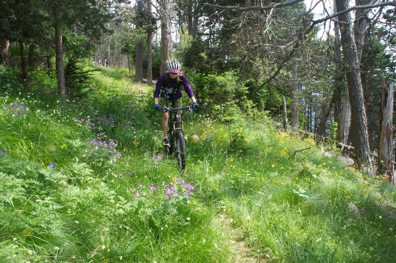
THE CLIMB From Grosio Weigh station parking (by car or by bike). The climb from Grosio is never steep, but very long (15,5 Km from Grosio to eita), that's why the most suitable solution would be driving to eita (mandatory toll from Fusino to eita, cost: 3. Automatic toll dispenser in the Fusino's Church Square). In the middle of the town take on the left the asphalt road to Ravoledo and then to Fusino. Keep on climbing, still on asphalt road, through the eastern Grosina Valley till you get to village eita. (Average time 2 h). From Eita Curch parking From Eita (1.697 m height) a 40 minutes dirt road ride brings to baite Redasco. here turn towards (sign step 1) the very long section which goes through the whole upper valley until you reach Cigoz (sign step 2). Ride a little more further on a dirt Itinerario Five Crazy Down road until you reach 2.020 m height by a junction with an old military road. THE DESCENT From Cigoz to Grosio 8,7 km 1.372 m The first section of the military road is remarkable, part in the wood and part through amazing alpine pastures. The military road ends at Poda. From here ride to S. Giacomo on a steep but pretty large trail, where you find a paved mule track which ends at Ravoledo. A dirt road brings you back to Grosio.

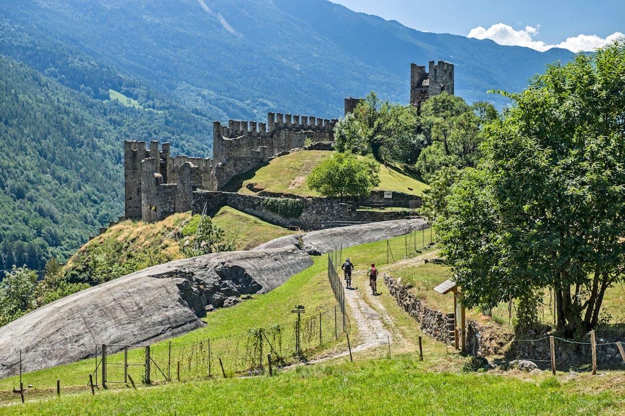
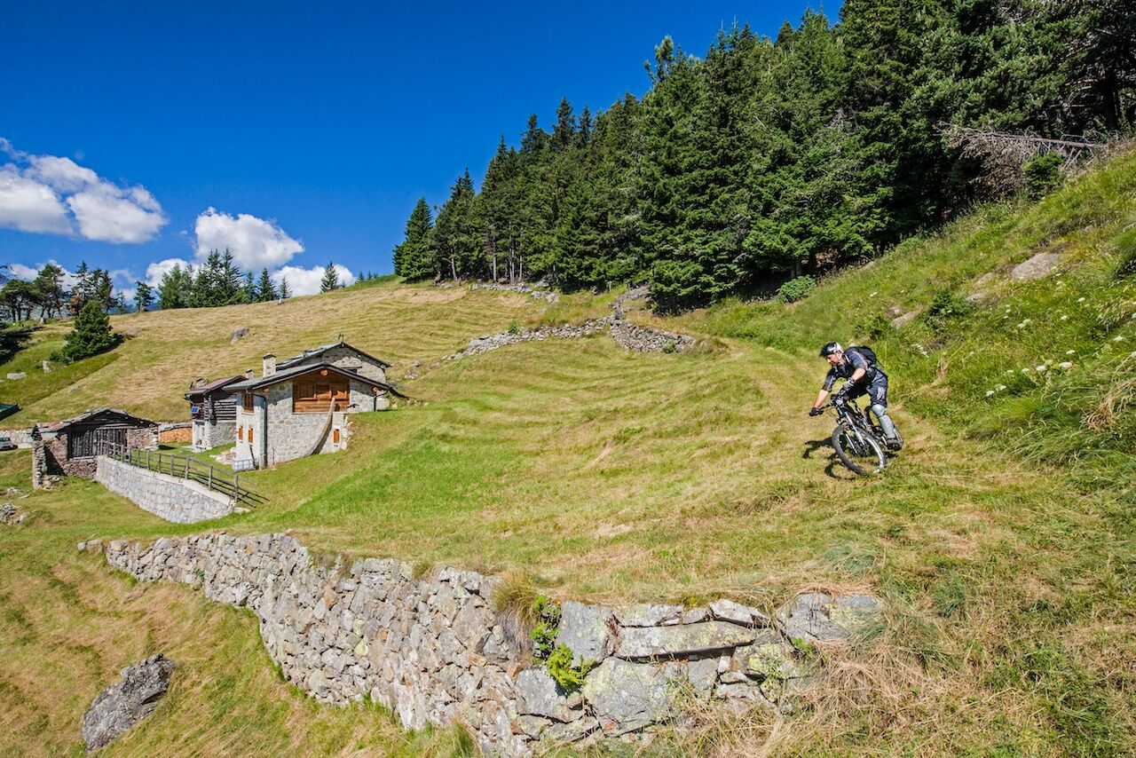

Eita - Baite Redasco - Cigoz - Poda - San Giacomo - Grosio
At the Public Weighbridge
S2
Obľúbené výlety v okolí
-
5,0
Mountain hike to Lagh da Saoseo
ťažkéTuristika 15,0 km -
4,5
Da Sfazù a lago Saoseo
svetloTuristika 11,0 km -
Val da Camp (724)
strednáTuristika 5,33 km -
4,0
Adamello - Val Grande - Biwak
strednáE-MTB 22,8 km -
Pizzo Filone
strednáSkitour 7,60 km -
4,0
Lagh dal Teo - The gem at the foot of Piz dal Teo
Turistika 15,8 km -
Piz Cunfin , Poschiavo, Oberengadin
strednáTuristika 26,9 km -
Pizzo Dosde'
strednáSkitour 12,5 km -
5,0
32.05 Poschiavo - Tirano, Trans Altarezia Bike
ťažkéMountainbike 29,1 km -
St. Columba Horn
strednáSkitour 8,20 km
Turistika a stopovanie


Nenechajte si ujsť ponuky a inšpiráciu na ďalšiu dovolenku
Vaša e-mailová adresa bol pridaný do poštového zoznamu.





