






Stelvio Pass Forcola Pedenolo

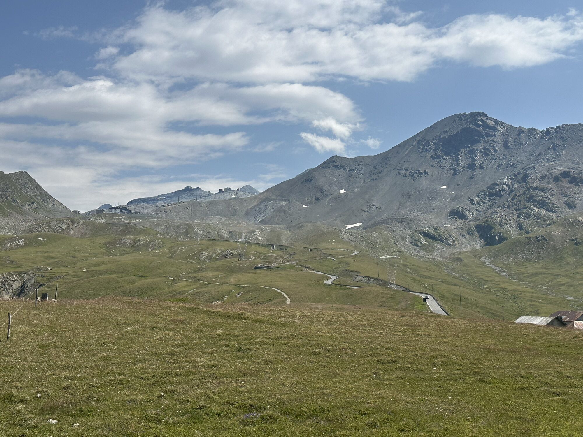
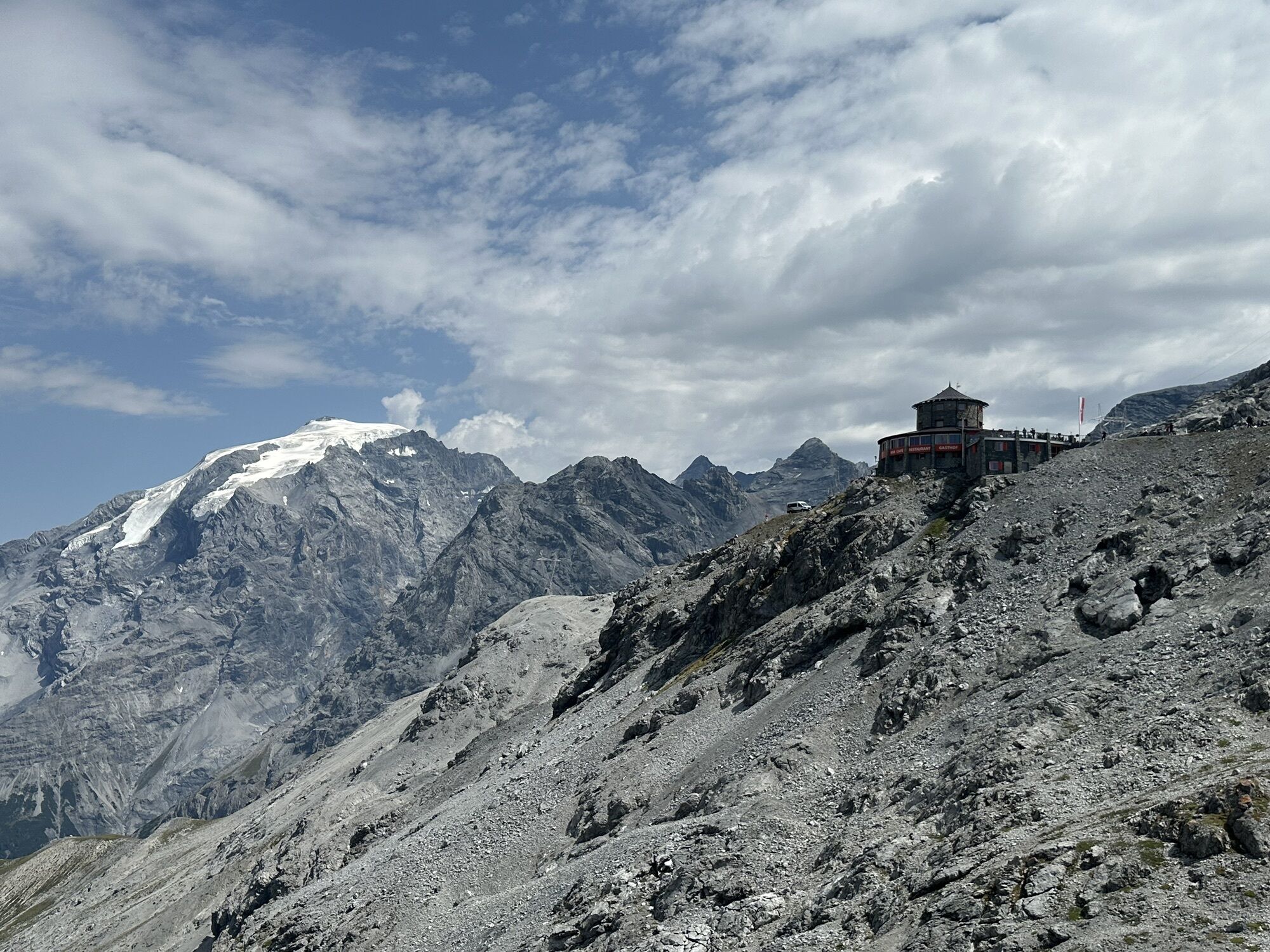
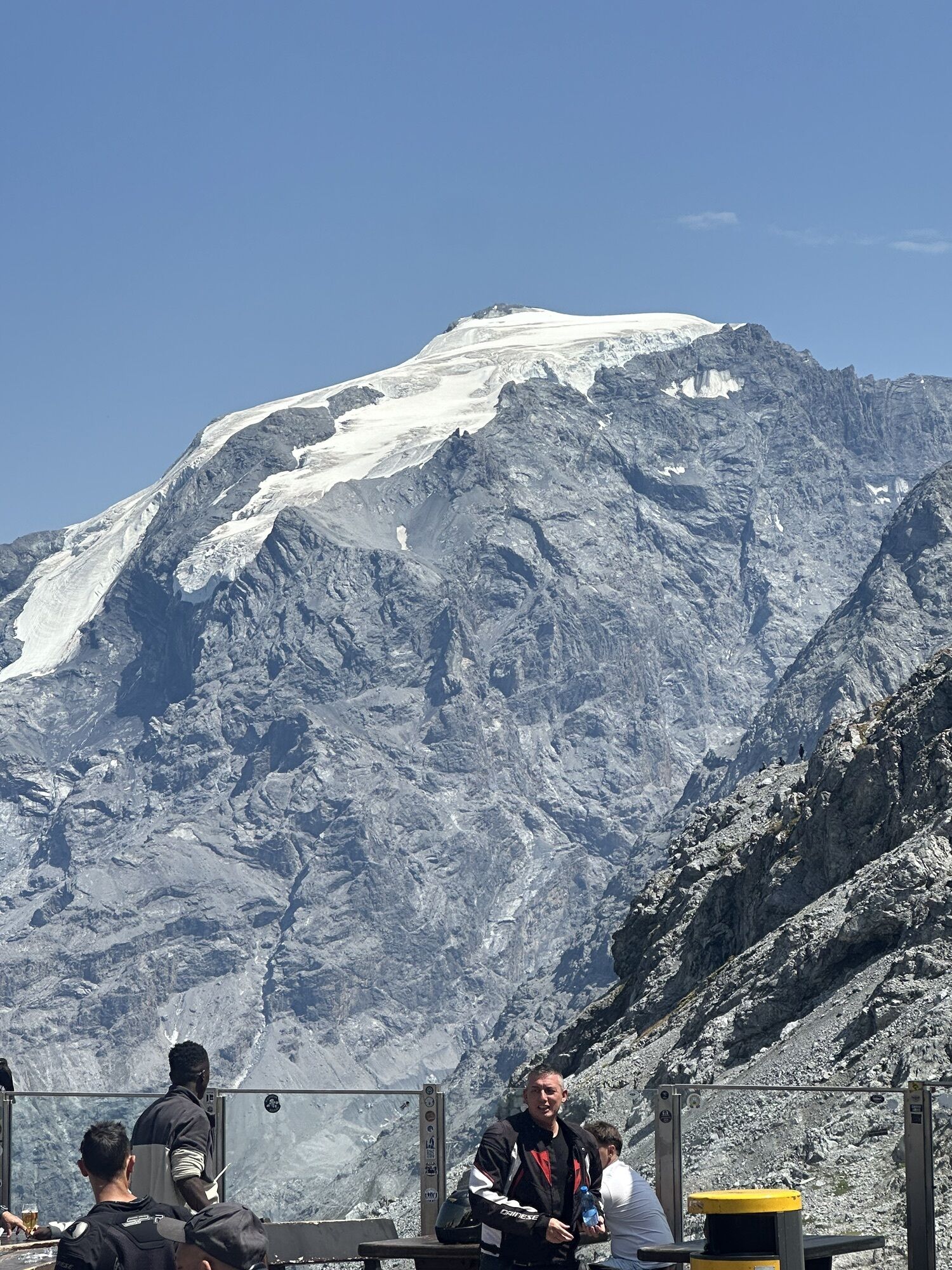
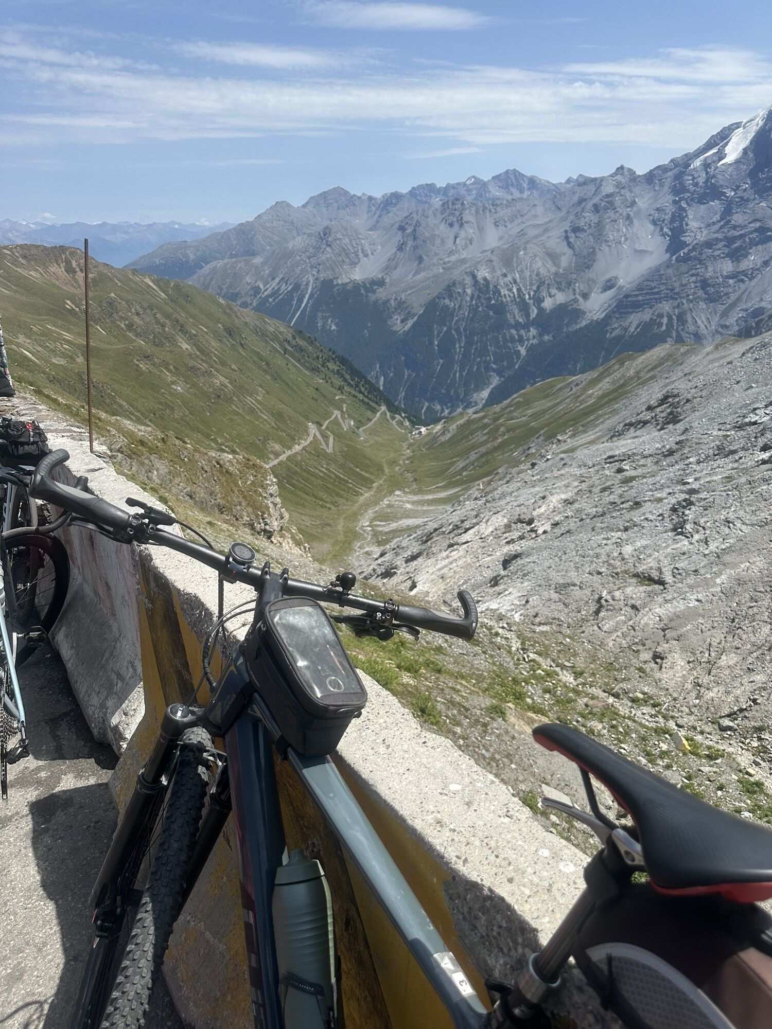
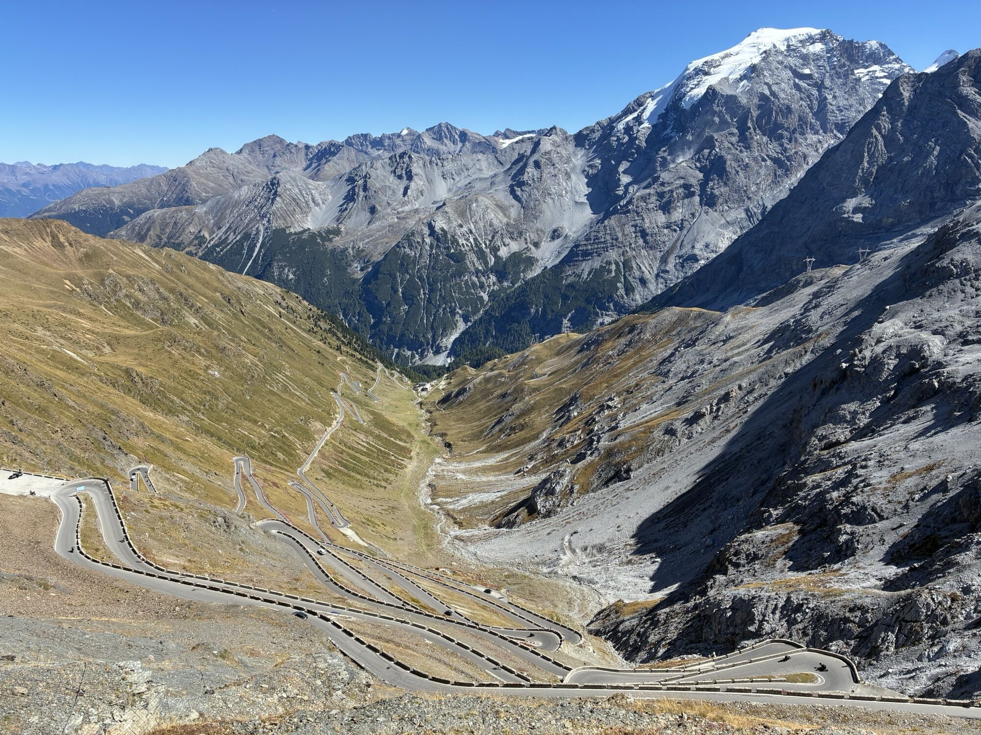
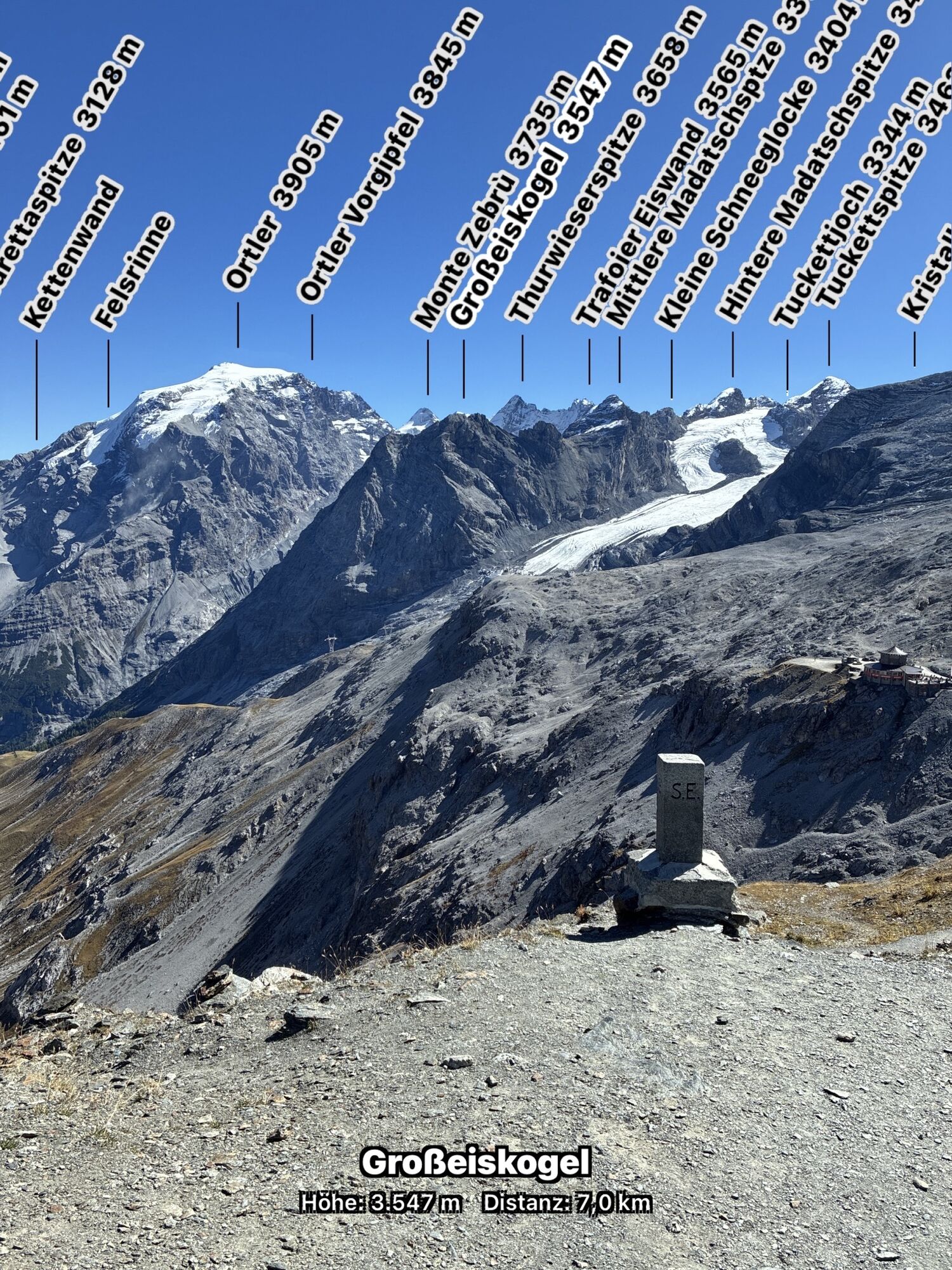
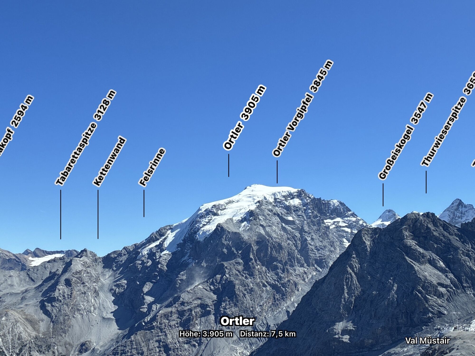
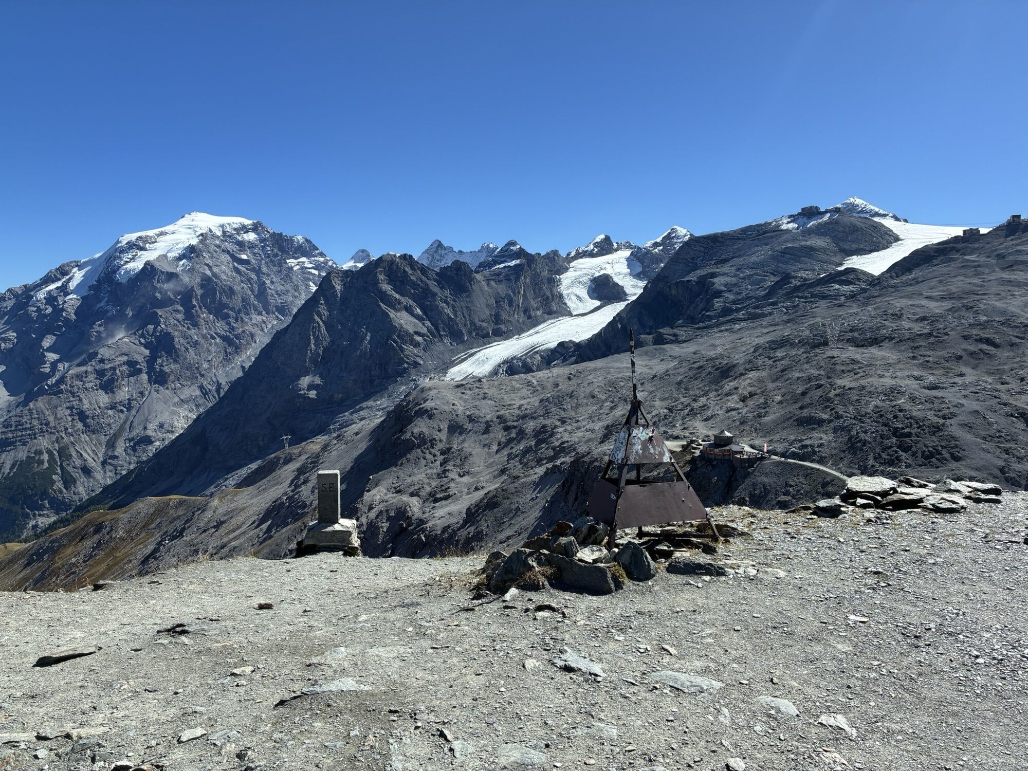
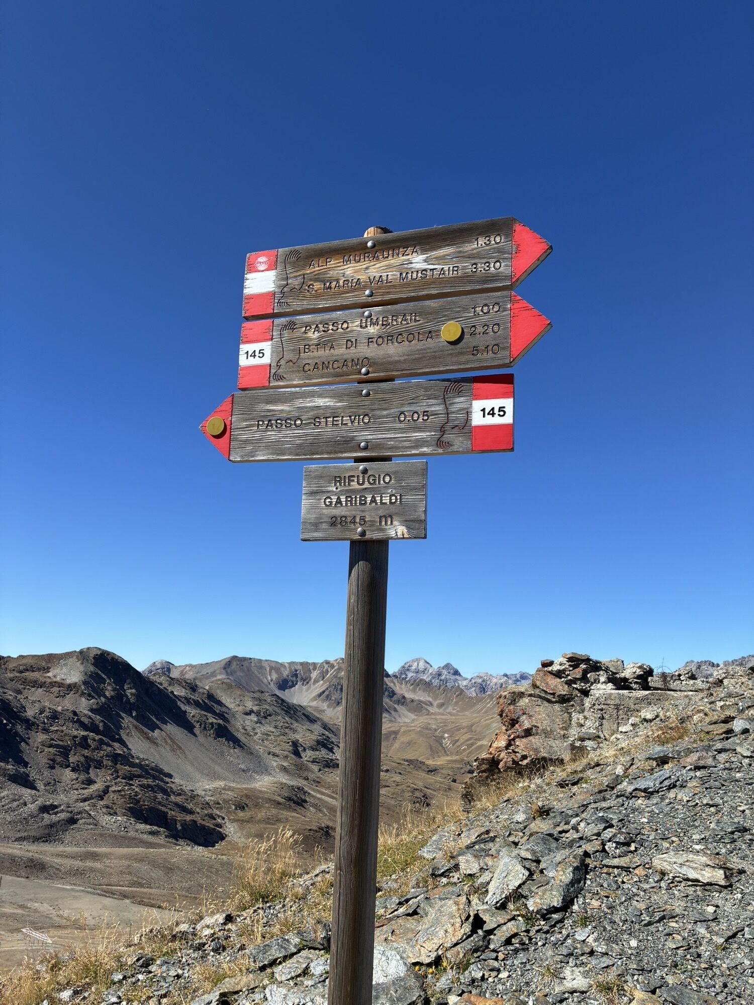
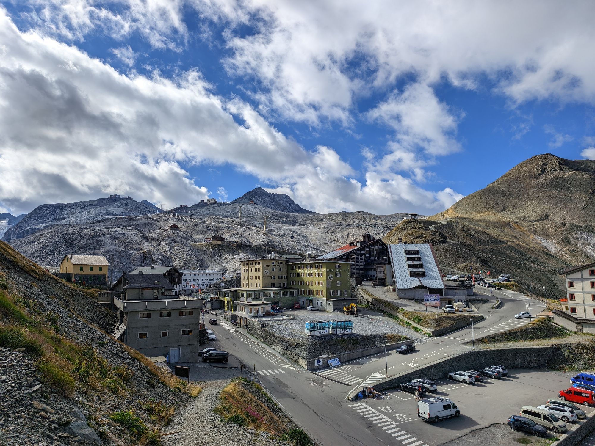
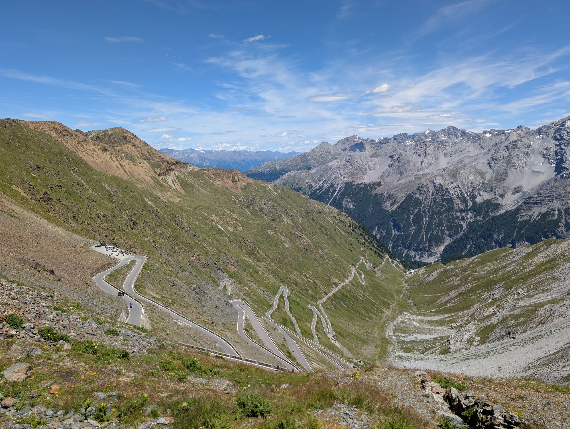
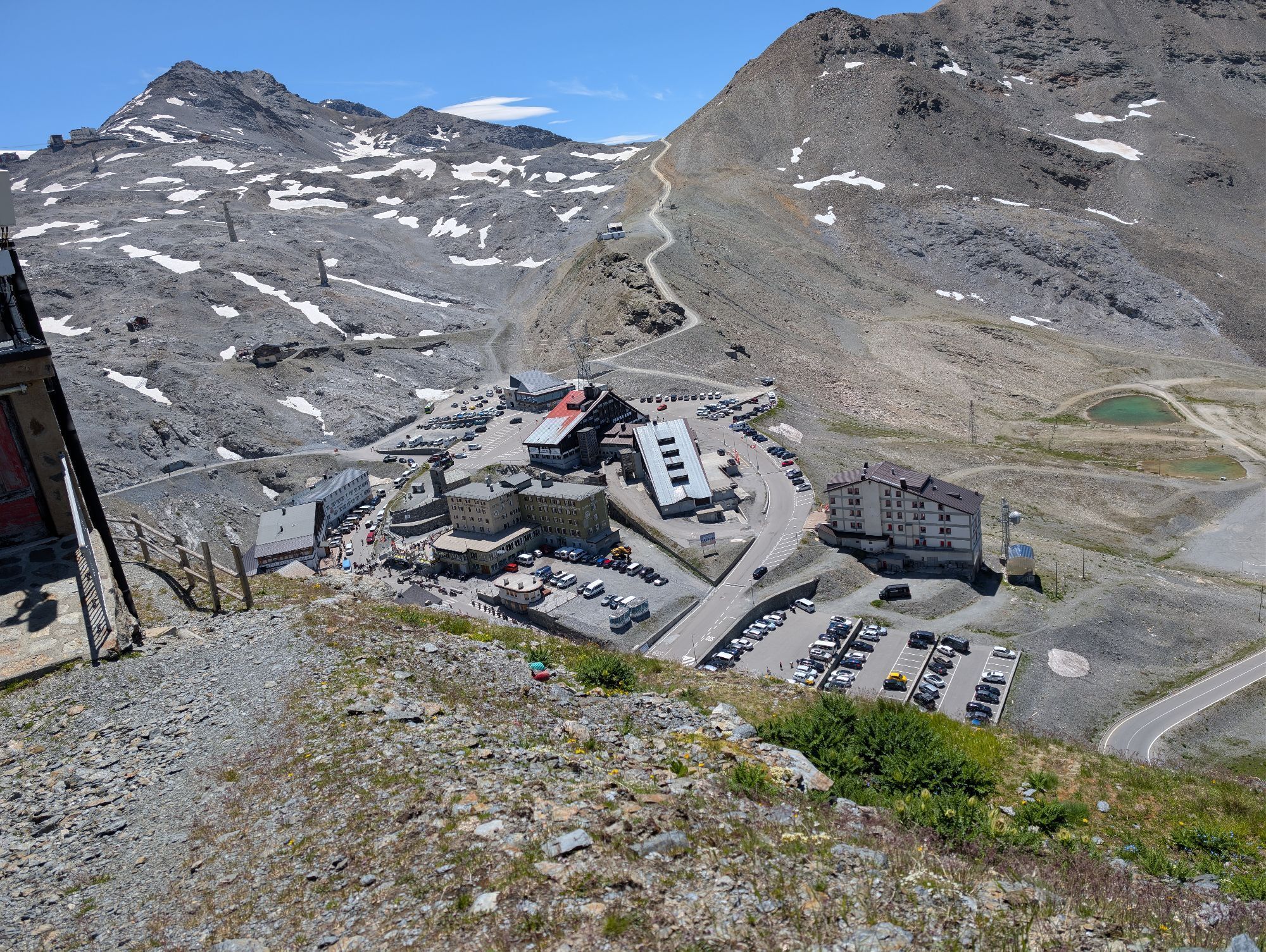
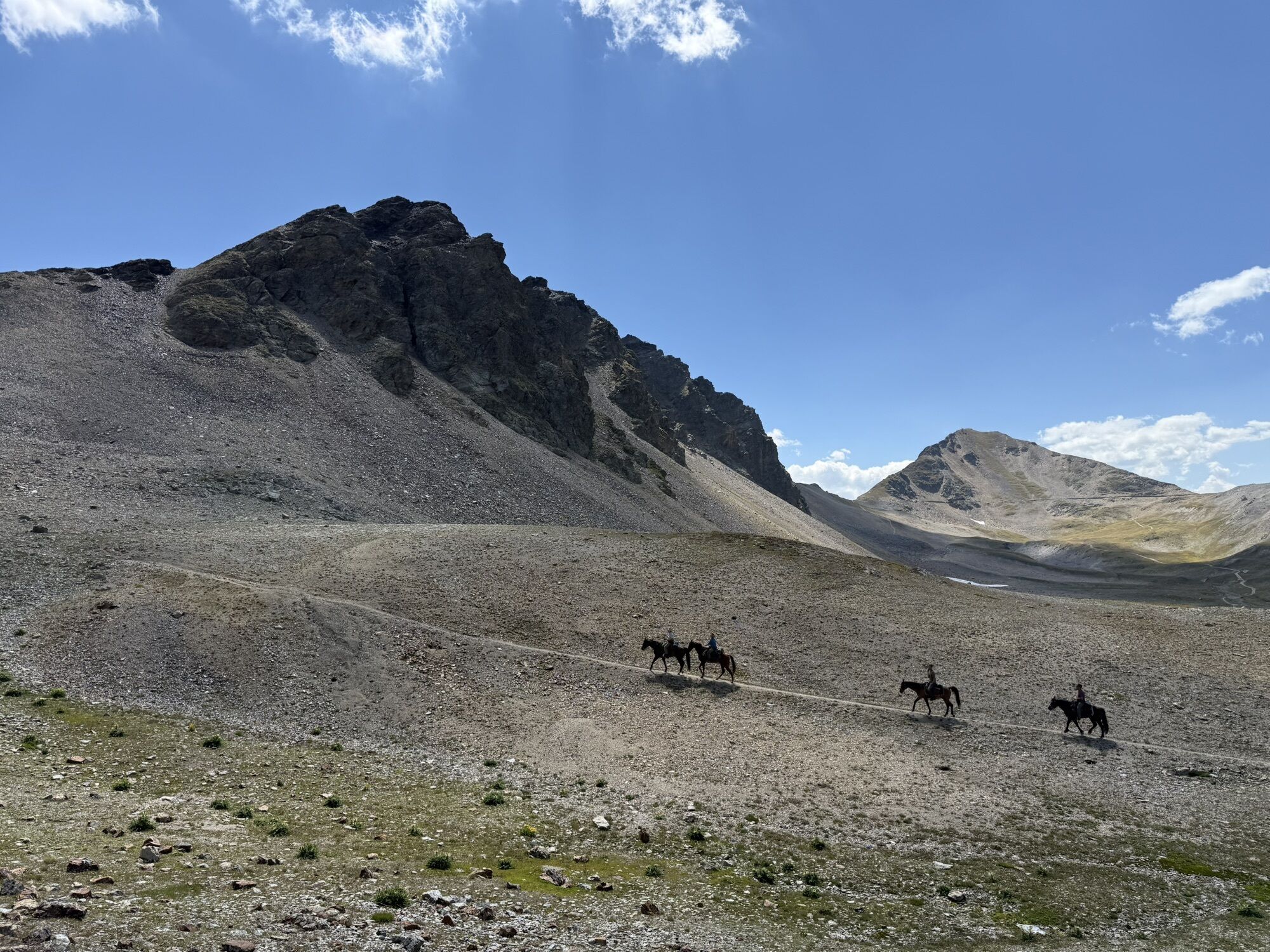
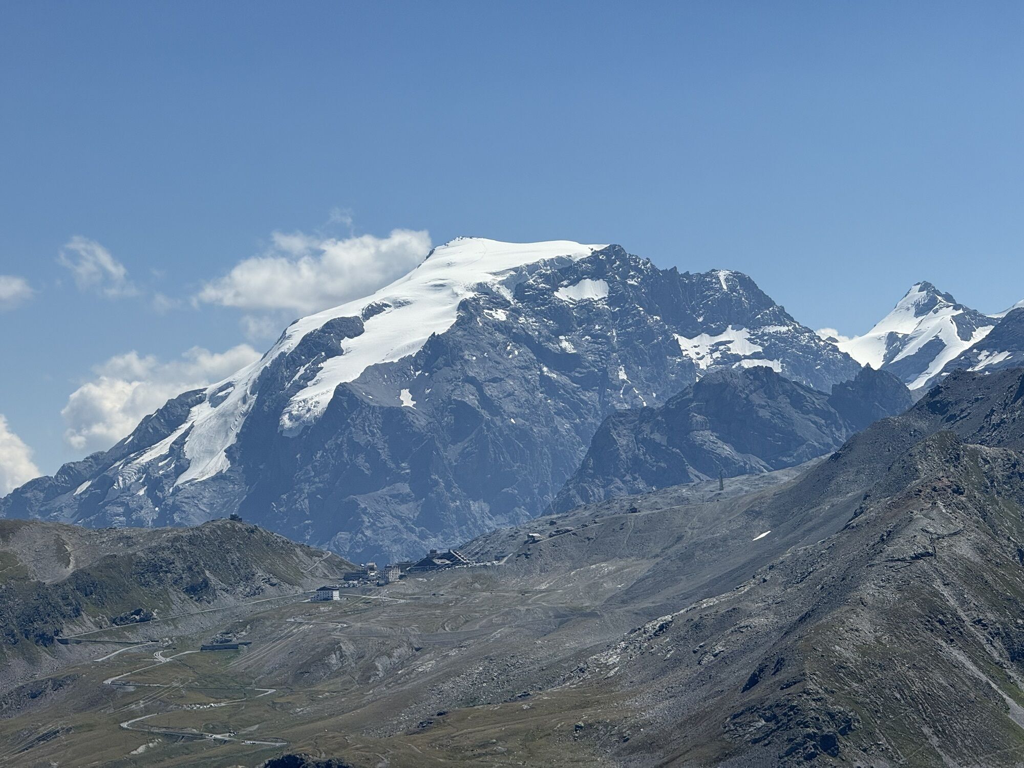
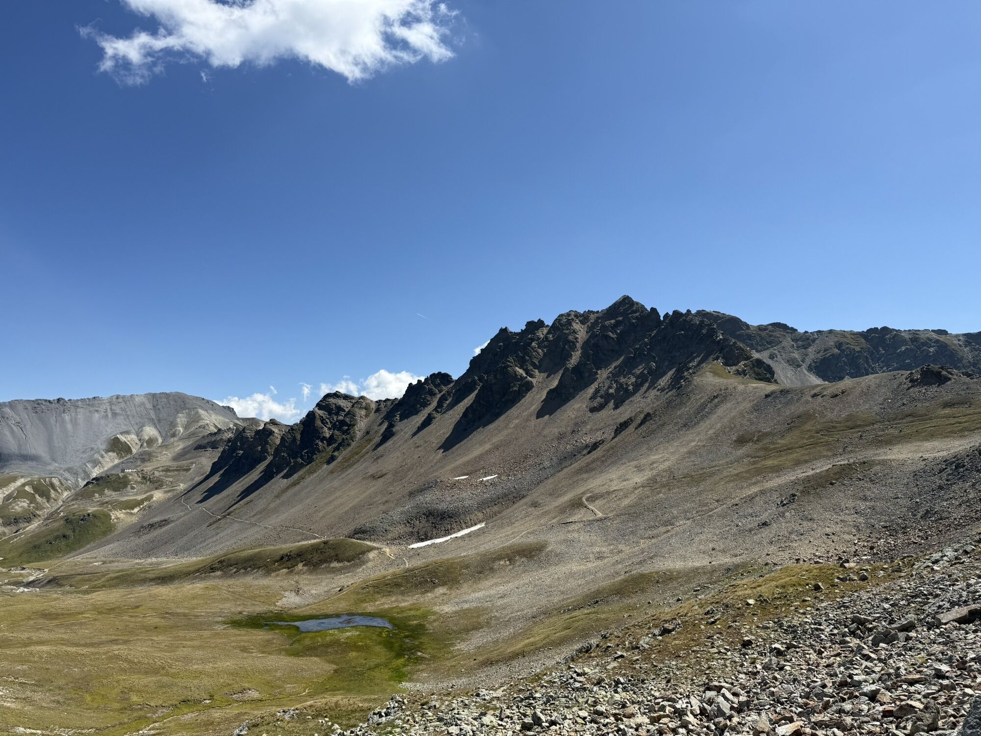
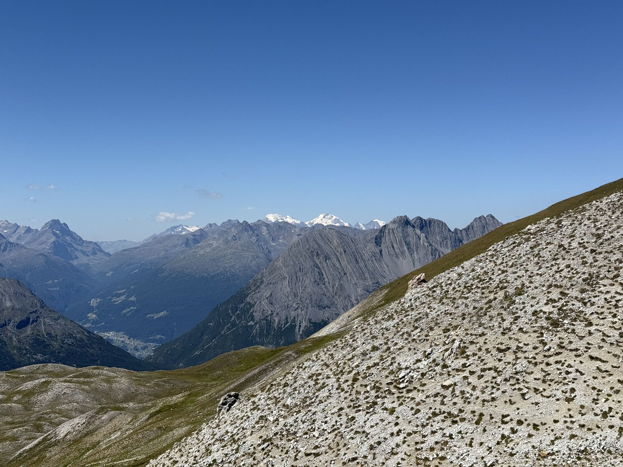
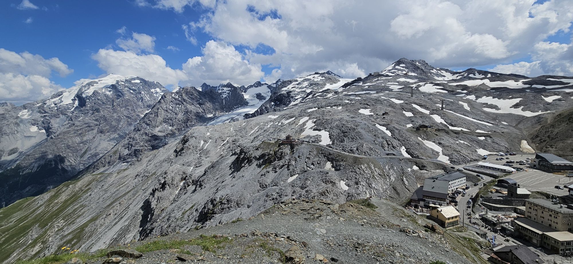
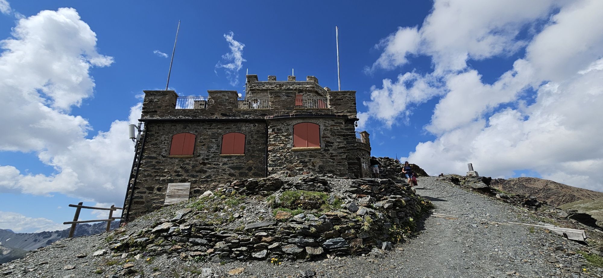
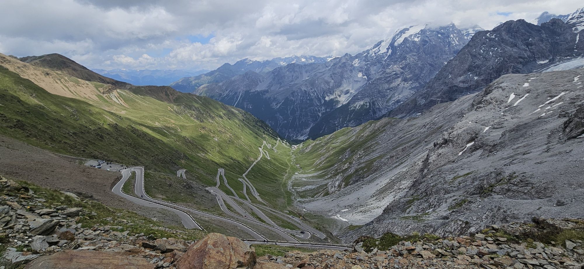
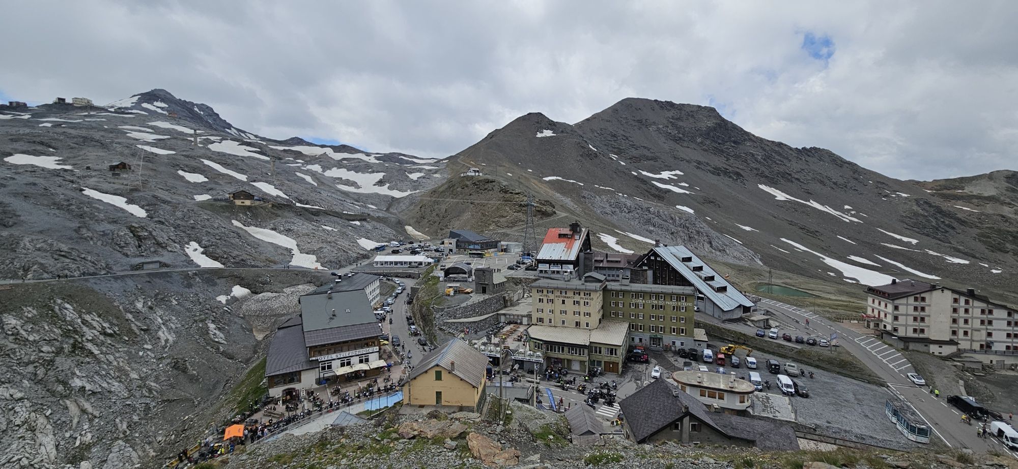
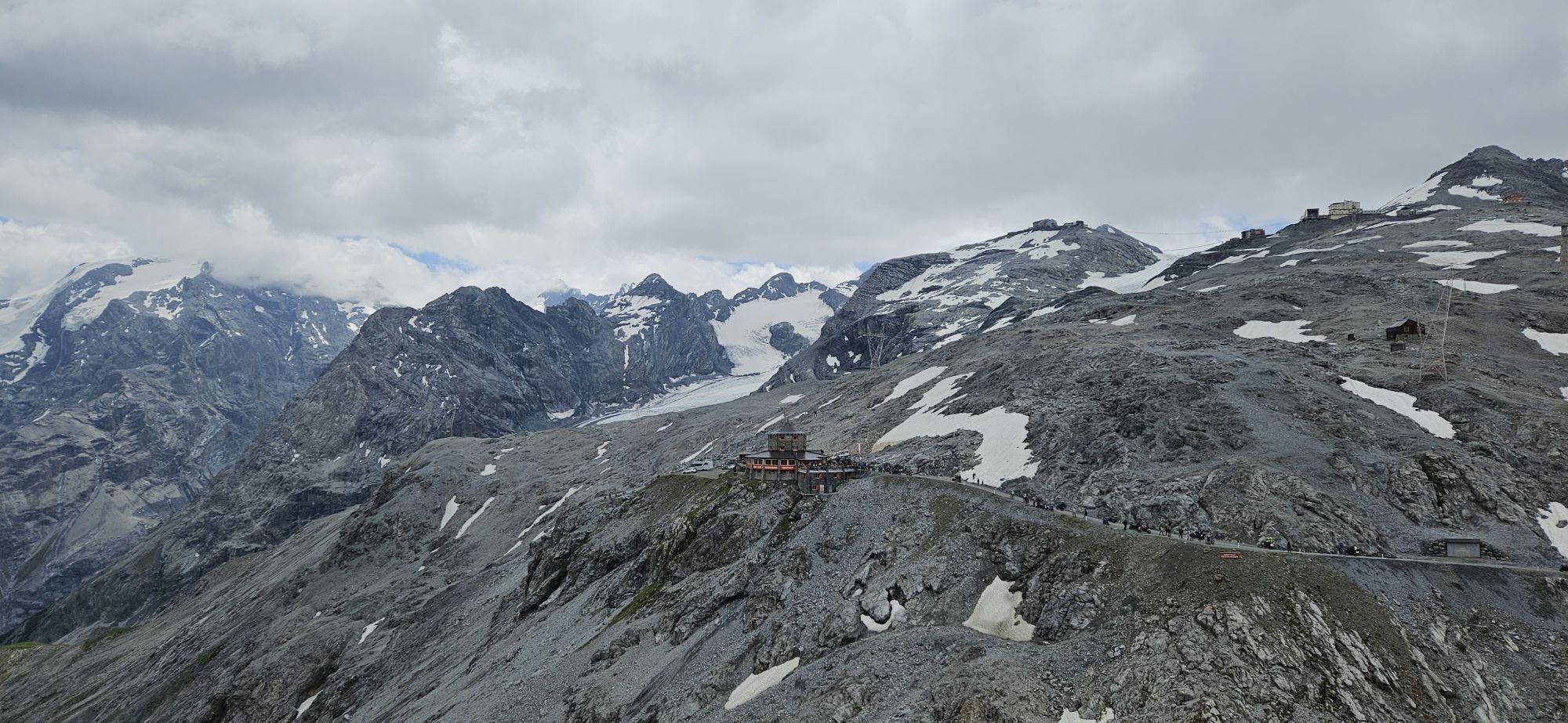
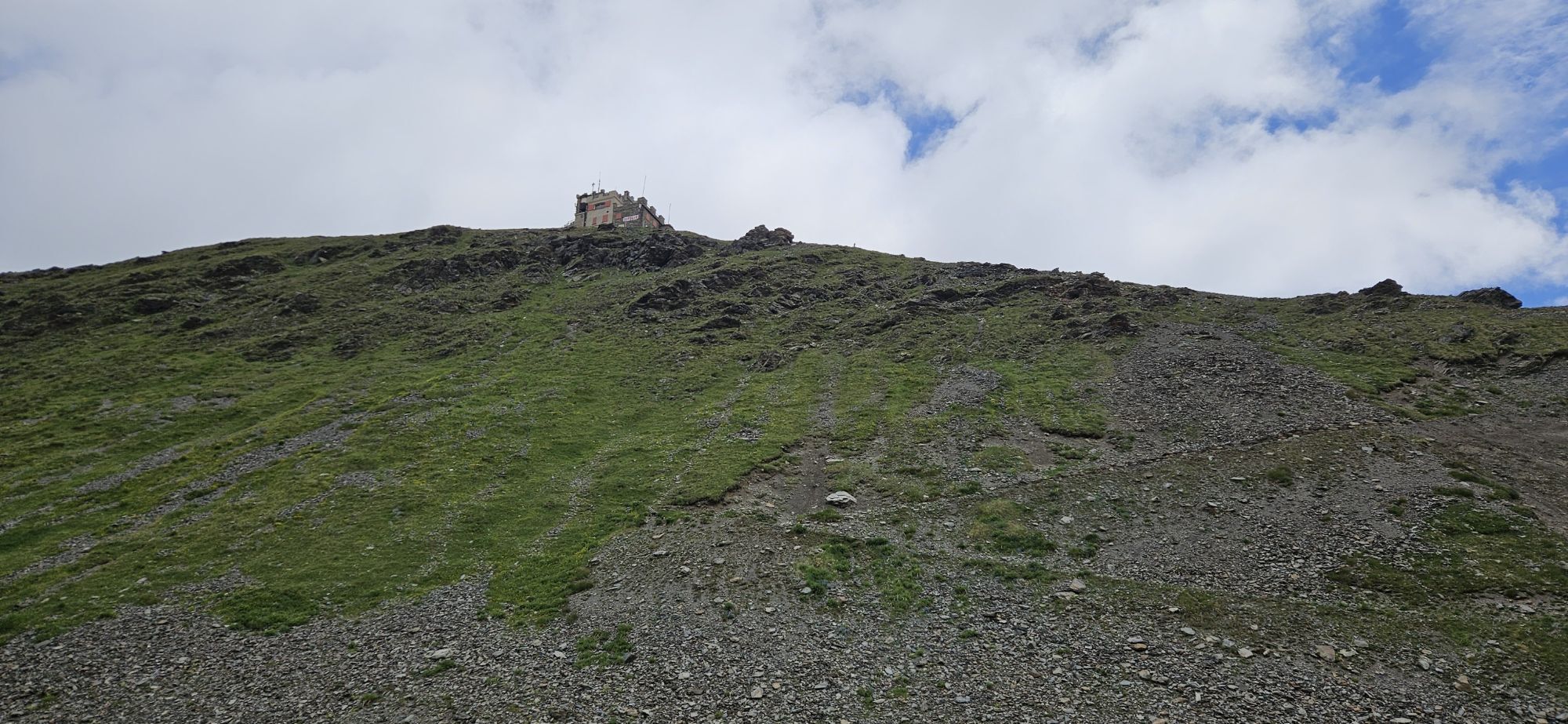
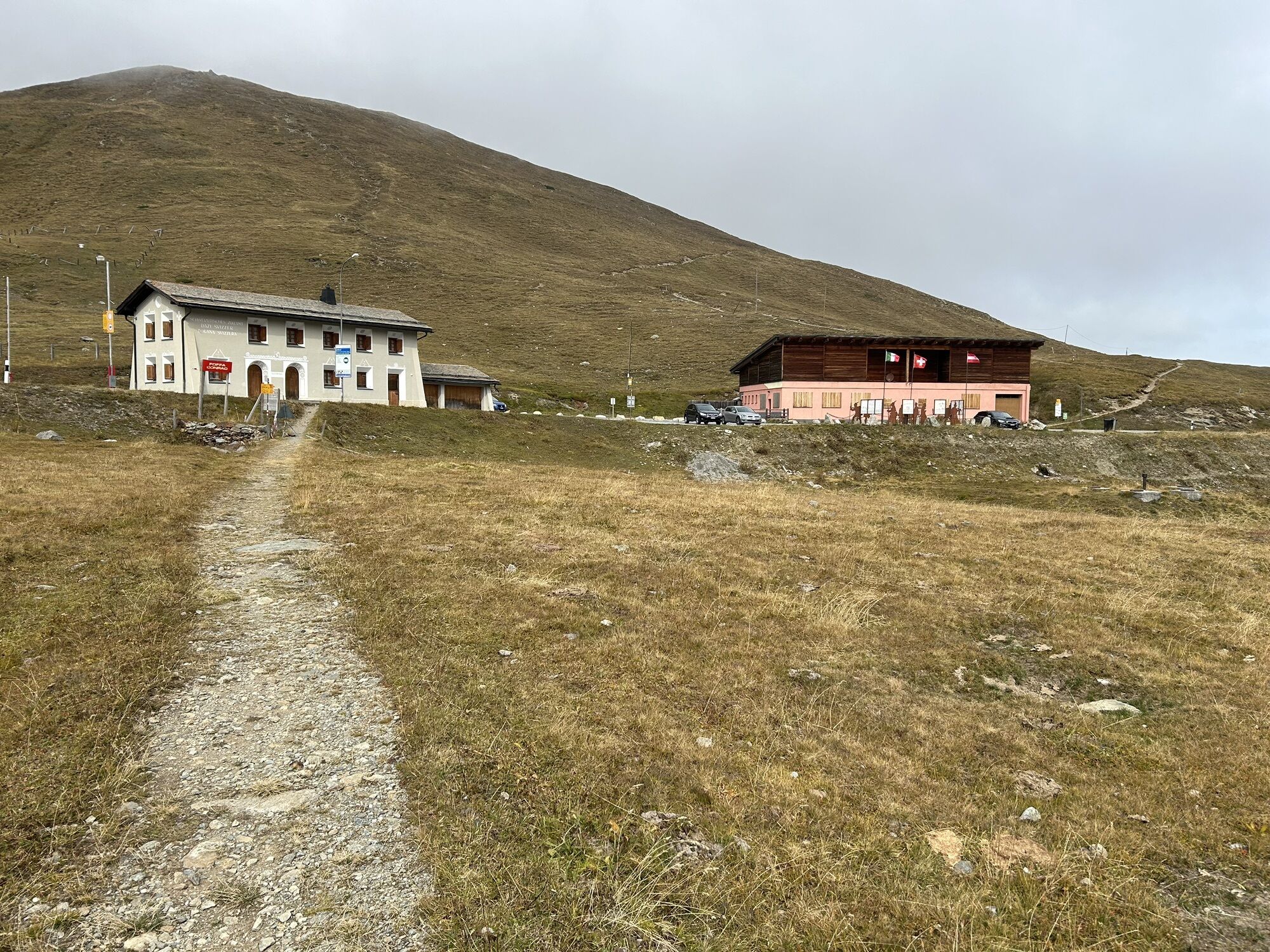
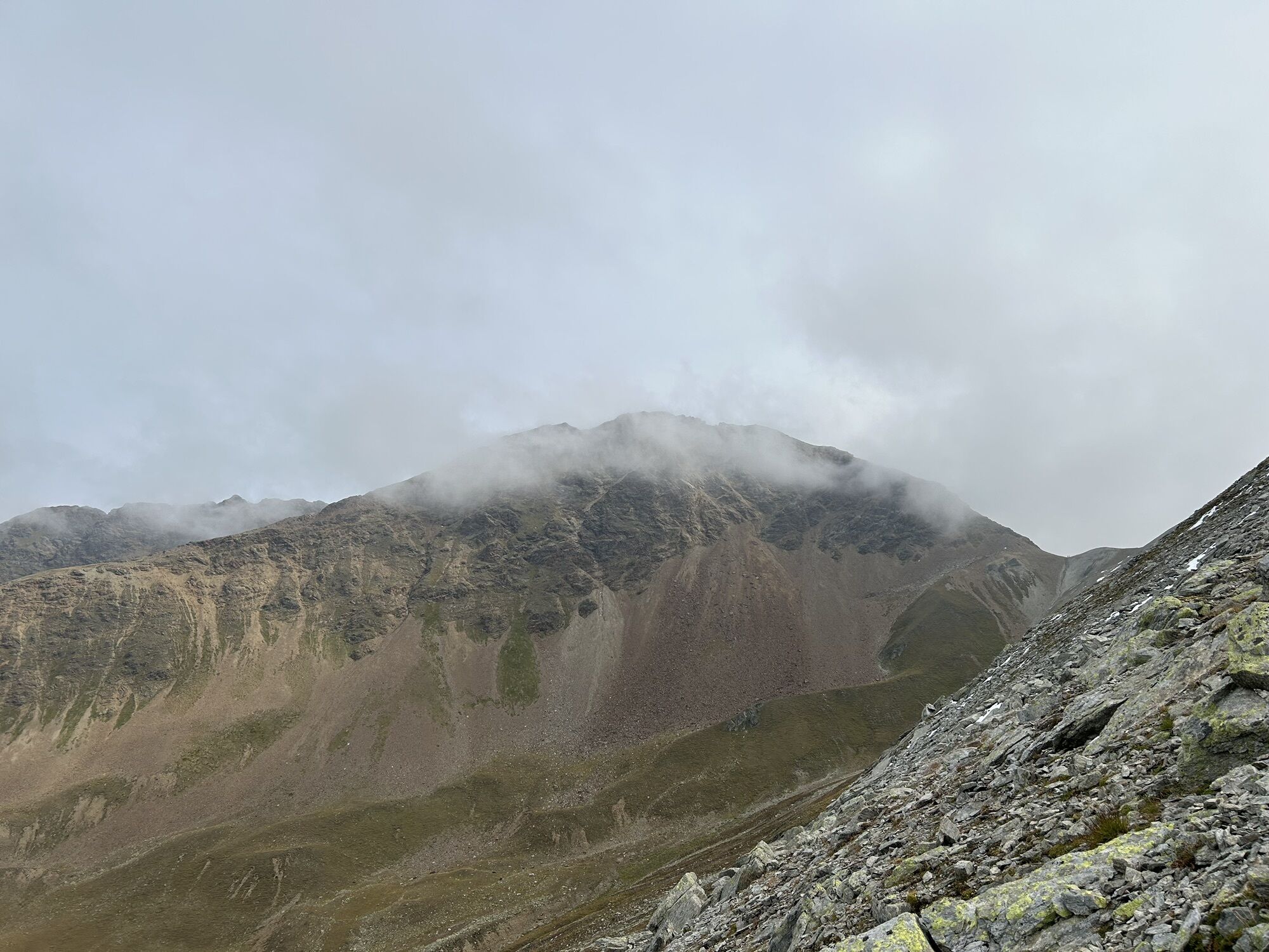
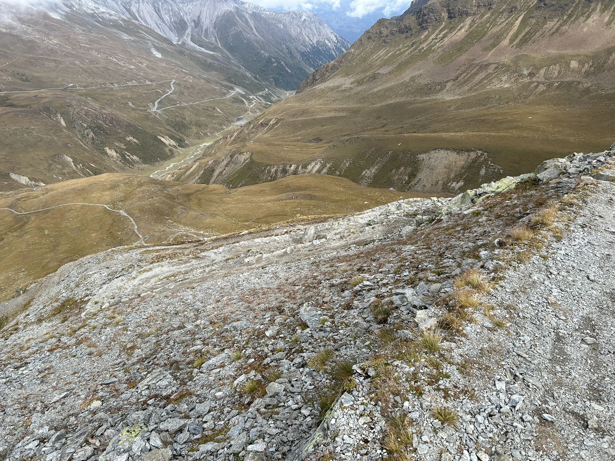
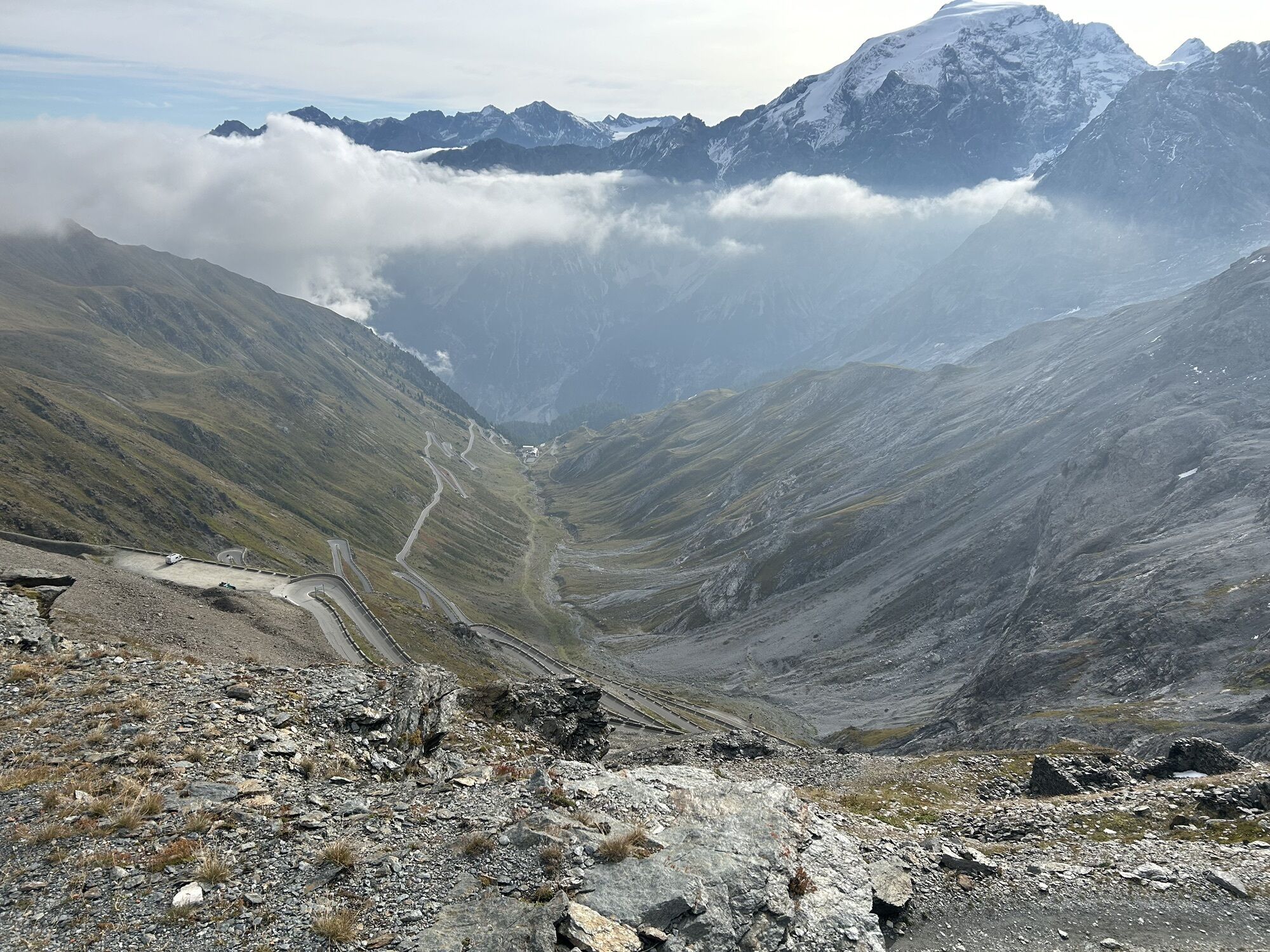
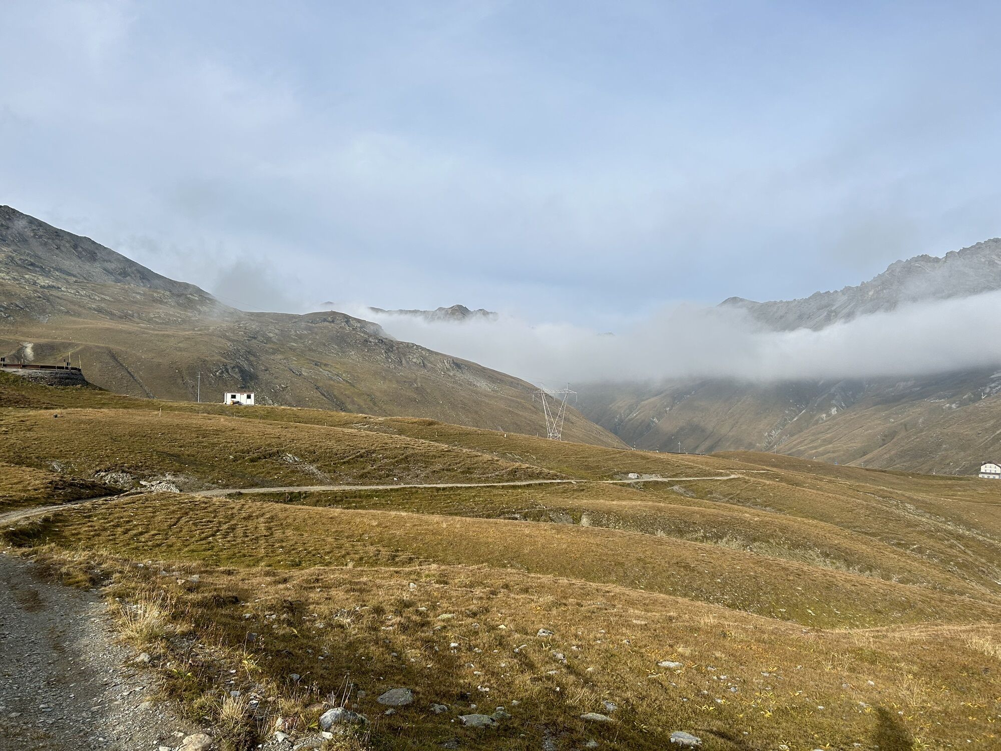
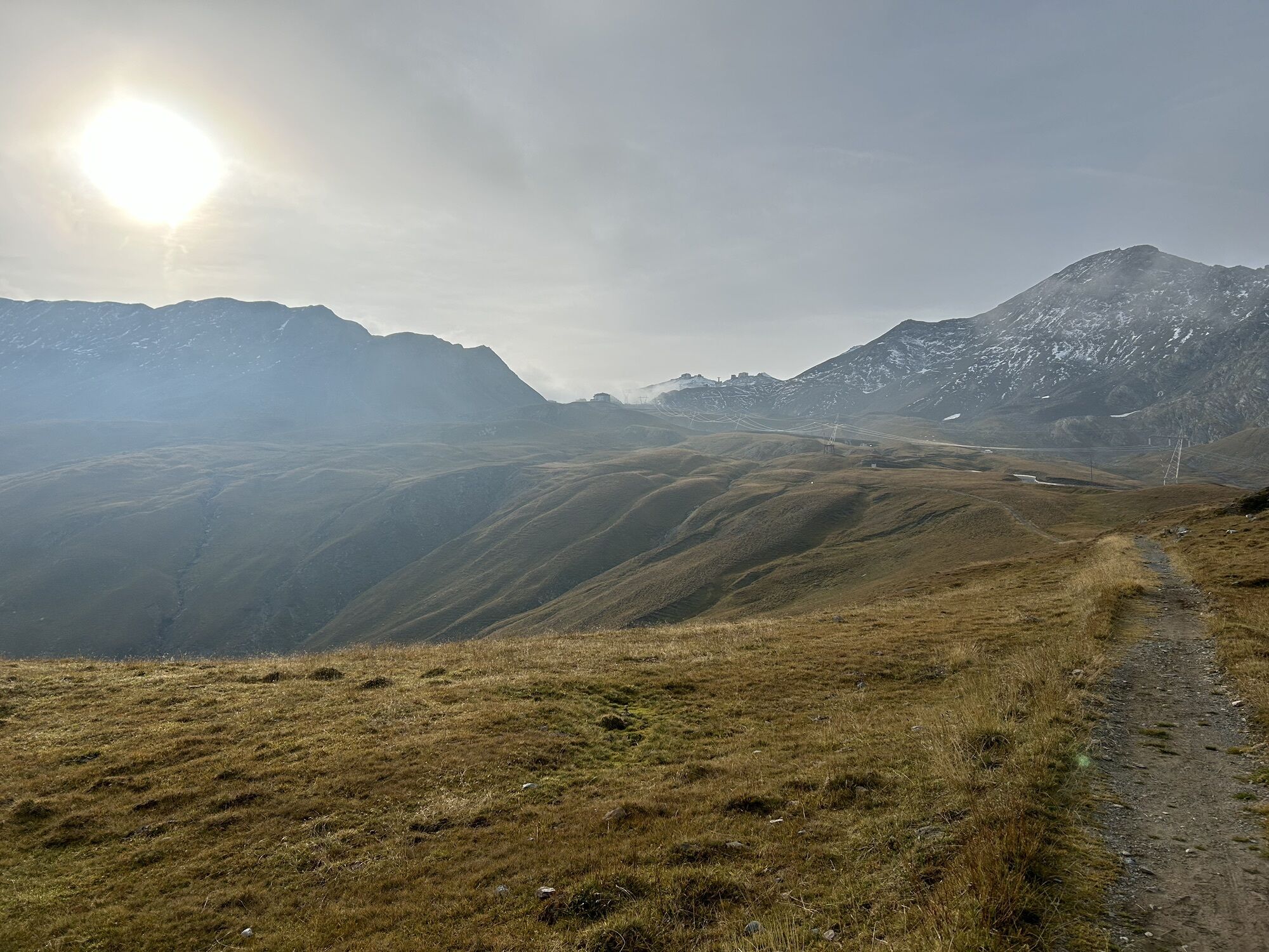
It starts from the Stelvio Pass at 2758 m pushing the bike up to the Garibaldi Refuge at 2838 m. Right behind to the left toward the northeast, you enter the path that descends with well-designed switchbacks...
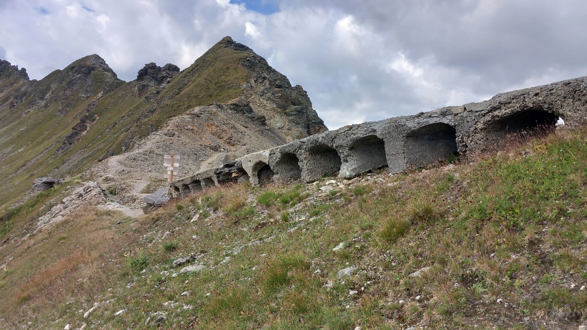
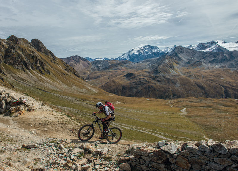
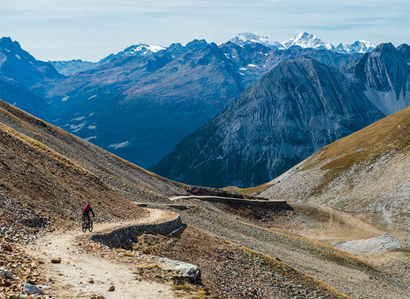
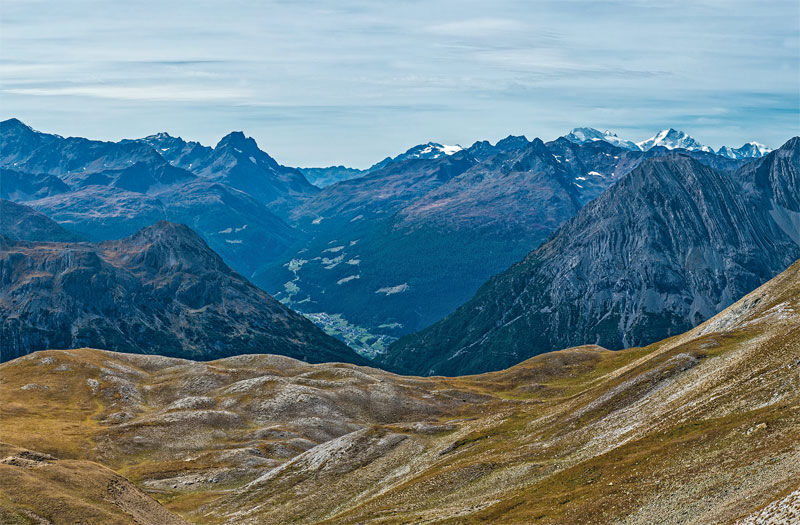
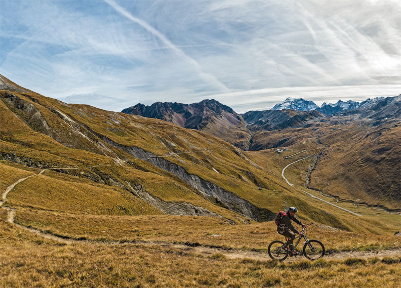
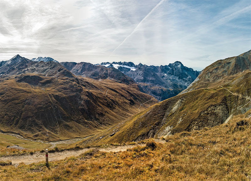
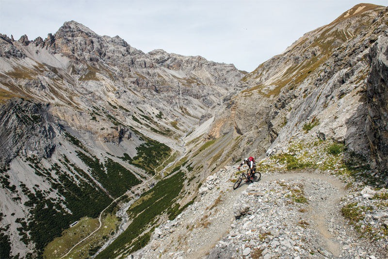
It starts from the Stelvio Pass at 2758 m pushing the bike up to the Garibaldi Refuge at 2838 m. Right behind to the left toward the northeast, you enter the path that descends with well-designed switchbacks down to the Umbrail Pass or Giogo di Santa Maria at 2501 m. From here on the right starts the nice single trail marked no. 145, not always rideable, which with ascents and descents leads to the Bocchetta di Forcola at 2765 m. The route descends east along the valley of the same name on the track passing in front of the old barracks and almost immediately reaches a crossroads: on the right, you follow no. 145 along the variant that traverses the Forcola Valley with little difficulty; on the left, you continue on the main track marked no. 146 along a traverse on a rough and stony path leading to the Bocchetta di Pedenoletto at 2790 m. From here, the path becomes a military mule track and descends first to the Bocchetta di Pedenolo at 2703 m and then to the homonymous Malga at 2394 m along a regular route made of many switchbacks. It is an easy, relaxing, and panoramic section of the route. Then the path suddenly becomes steeper, with tight switchbacks and some uncomfortable and exposed passages. This continues for about 3 km and an elevation gain of 400 m to the bottom of the valley, where it joins at 2070 m with the easy dirt variant that leads first to Solena and then in a steep descent to Bosco Piano. To return to the Stelvio Road at 1554 m, you have to climb for about 1 km.

Stelvio Pass _ Garibaldi Refuge _ Umbrail Pass or Giogo di Santa Maria _ Bocchetta di Forcola _ Bocchetta di Pedenoletto _ Malga Pedenolo _ Alpe Solena _ Bosco Piano _ Stelvio Road
Webové kamery z prehliadky

Obľúbené výlety v okolí
-
3,7
Payerhütte 3020m
Turistika 6,98 km -
4,4
Sonnenaufgang auf der Rötelspitze im Nationalpark Stilfserjoch
Turistika 2,02 km -
5,0
Wanderung/Aufstieg zur Payerhütte
svetloTuristika 15,9 km -
5,0
Ortler über Meraner Weg (vom Tal/Trafoi)
ťažkéVysoké turné 11,9 km -
4,5
Ortler – Normalweg
ťažkéVysoké turné 7,30 km -
5,0
Ortler über Hintergrat
ťažkéVysoké turné 8,03 km -
3,5
Watervallen wandeling
svetloTuristika 4,95 km -
3,4
Sta.Maria, Prà da Vau - Lai da Rims - Alp Sot - Prà da Vau
ťažkéTuristika 14,7 km -
4,8
Wanderung: Heilige drei Brunnen zur Berglhütte
svetloTuristika 5,51 km -
1,0
Tabarettahütte 2555m zur Payerhütte 3020m
Turistika 3,82 km
Turistika a stopovanie


Nenechajte si ujsť ponuky a inšpiráciu na ďalšiu dovolenku
Vaša e-mailová adresa bol pridaný do poštového zoznamu.





