







Alpe Meden
Úroveň náročnosti: S3
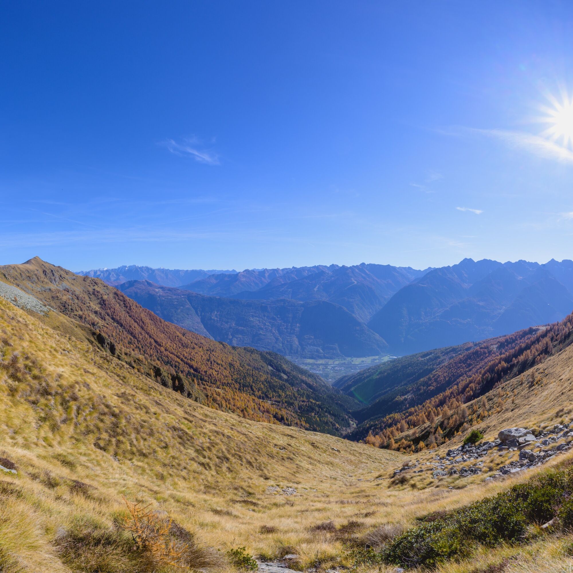
Valtellina or Tibet? As you can see from the photos Alpe Meden is truly a mystical place, the trail that connects the ski slopes to the Meden Hut is almost entirely at high altitude, with some steep climbs...
Valtellina or Tibet? As you can see from the photos Alpe Meden is truly a mystical place, the trail that connects the ski slopes to the Meden Hut is almost entirely at high altitude, with some steep climbs up to the hut at 2427. This is a trail for experts because of the roughness of the trail in some sections and some rather steep climbs. We believe it is a trail that all bikers should try at least once in their lives.

Áno
Áno
S3
Obľúbené výlety v okolí
-
4,5
Rifugio Curo’ e lago del Barbellino - lago naturale del Barbellino - lago Gelt
ťažkéTuristika 26,4 km -
4,0
Giro del Lago - Le prese - Miralago
svetloTuristika 7,43 km -
Val dal Saient - Short version
Turistika 11,4 km -
4,0
Mufule' Lake Ring
strednáTuristika 5,49 km -
5,0
32.05 Poschiavo - Tirano, Trans Altarezia Bike
ťažkéMountainbike 29,1 km -
5,0
Runchett da Sotsassa
strednáTematická trasa 1,54 km -
Cesta Valtellina
strednáCyklistika 113,2 km -
33.10 Le Prese - Tirano, Via Albula / Bernina
strednáTuristika 14,6 km -
Charcoal Burner Route San Romerio
ťažkéTematická trasa 2,91 km -
30.06 Alp Grüm - S. Romerio, ViaValtellina
strednáTuristika 20,0 km
Turistika a stopovanie


Nenechajte si ujsť ponuky a inšpiráciu na ďalšiu dovolenku
Vaša e-mailová adresa bol pridaný do poštového zoznamu.





