


Tour Vantone - Capovalle - Monte Stino - Bocca Cocca - Cingolo Rosso - Vesta
Fotografie našich používateľov
-
 © Marco ColbrelliVytvorené dňa 22.03.2026
 -
 © Marco ColbrelliVytvorené dňa 22.03.2026
 -
 © Marco ColbrelliVytvorené dňa 22.03.2026
 -
 © Marco ColbrelliVytvorené dňa 22.03.2026
 -

 © ROBERTO BONIOTTIVytvorené dňa 07.12.2025
 -
 © ROBERTO BONIOTTIVytvorené dňa 04.12.2025
 -
 © Mario RosaVytvorené dňa 25.10.2025
 -
 © Barbara SchwaerzlerVytvorené dňa 16.09.2025
 -
 © Andrea GuiatoVytvorené dňa 14.09.2025
 -

 © UrsulaVytvorené dňa 15.06.2025
 -
 © UrsulaVytvorené dňa 15.06.2025
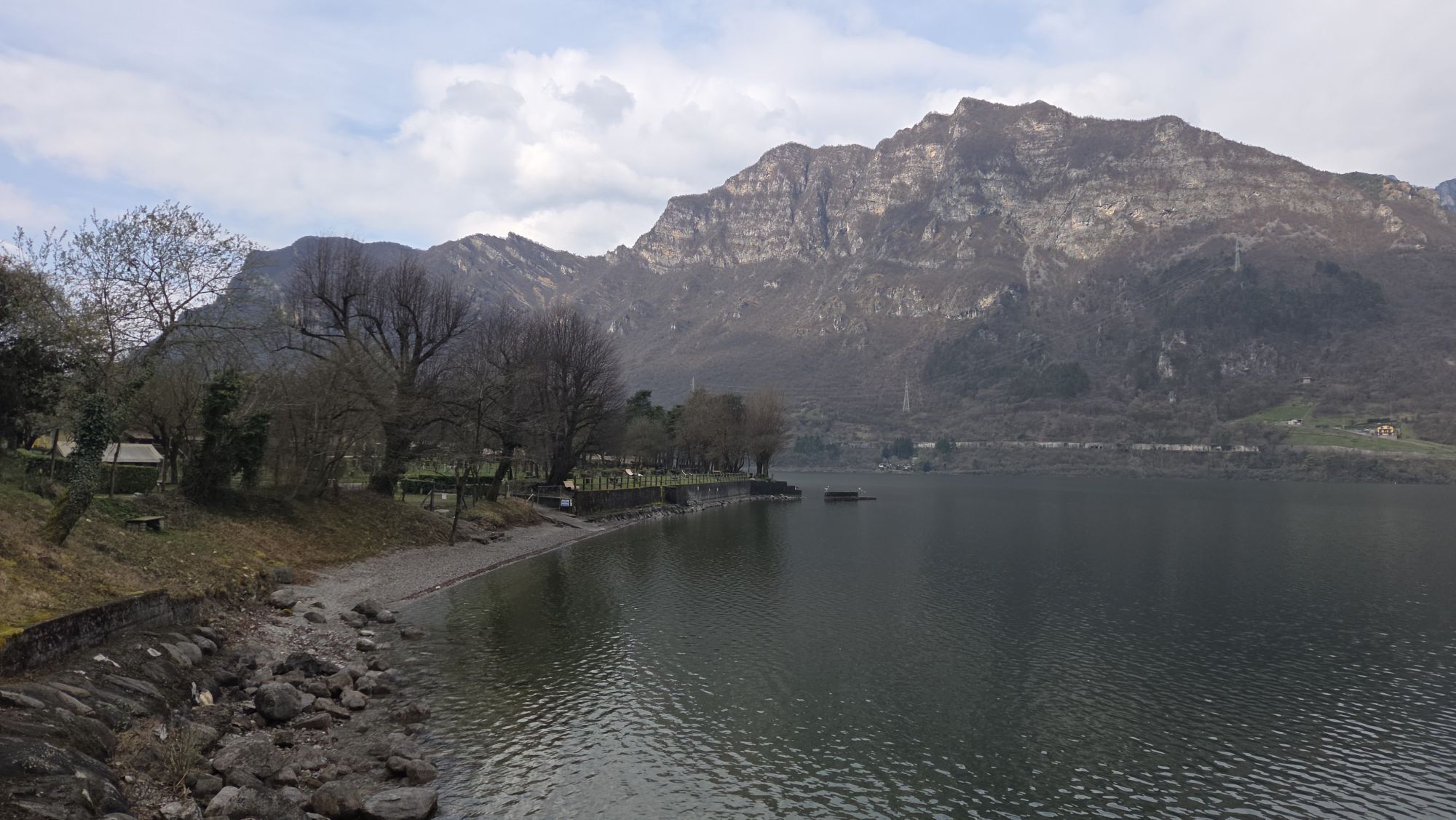


From Crone follow the mainroad to Capovalle. On Passo Rocco before Capovalle is a viewing point (946m). Turn left to the North. At the end of the town, is a small and steep asphalt road. Take this road...
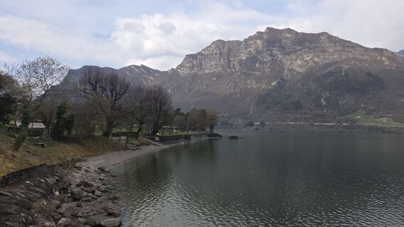
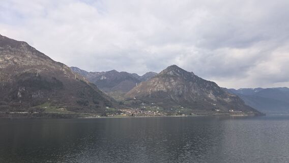
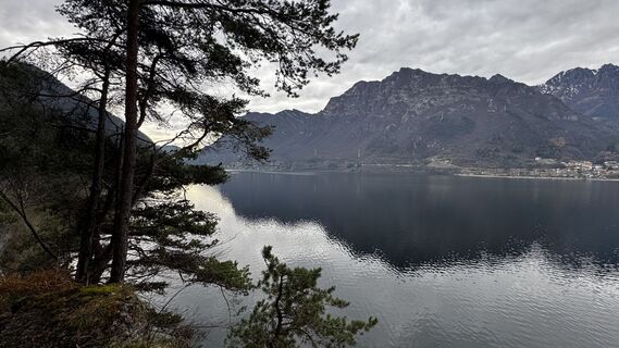
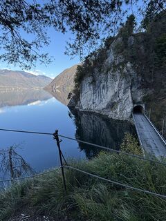
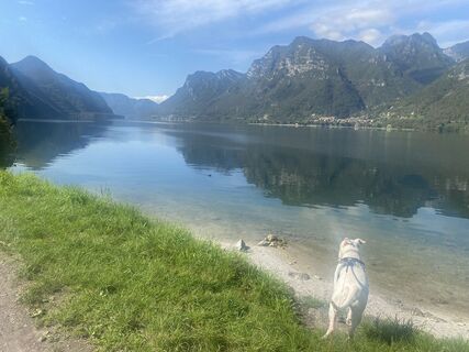
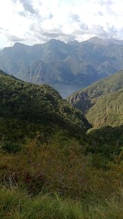
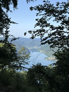
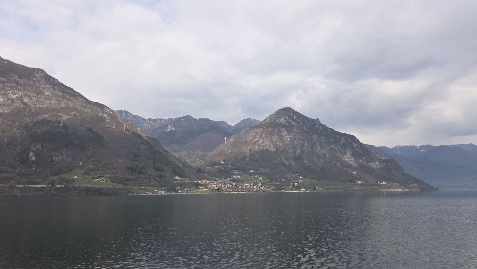
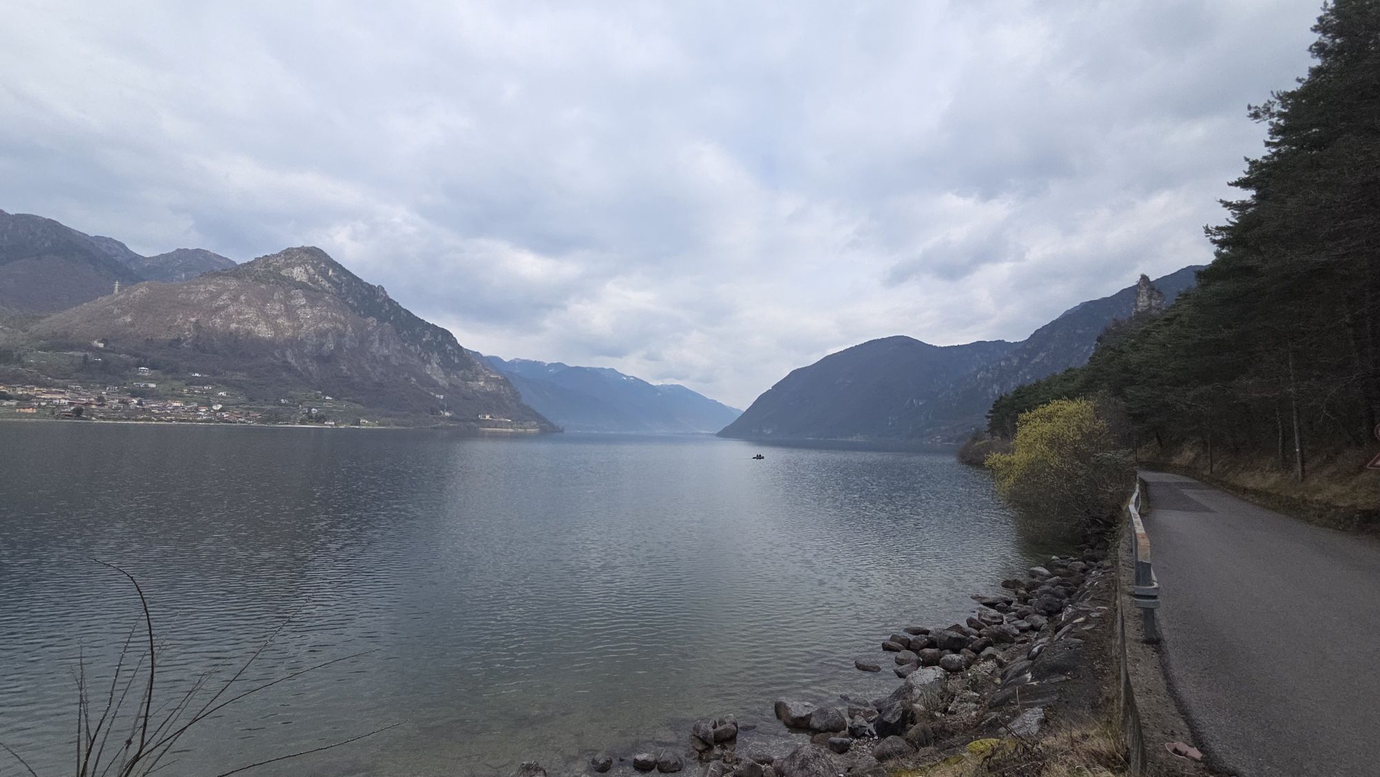
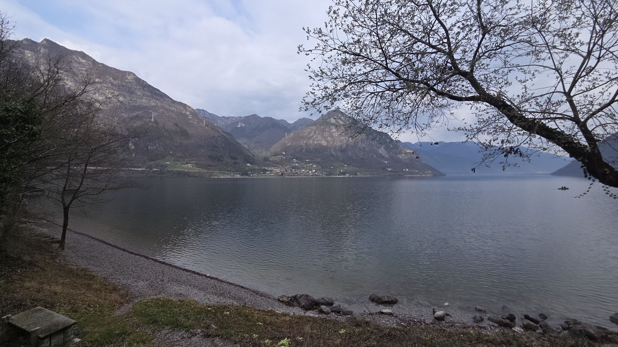
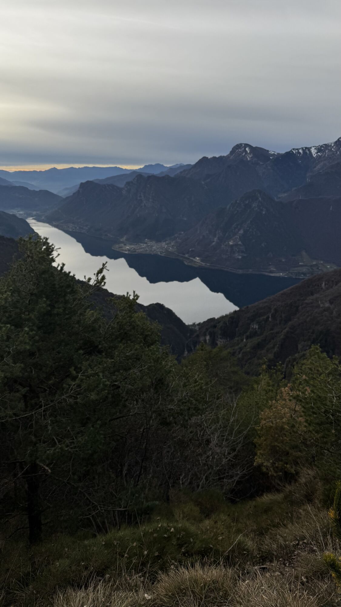
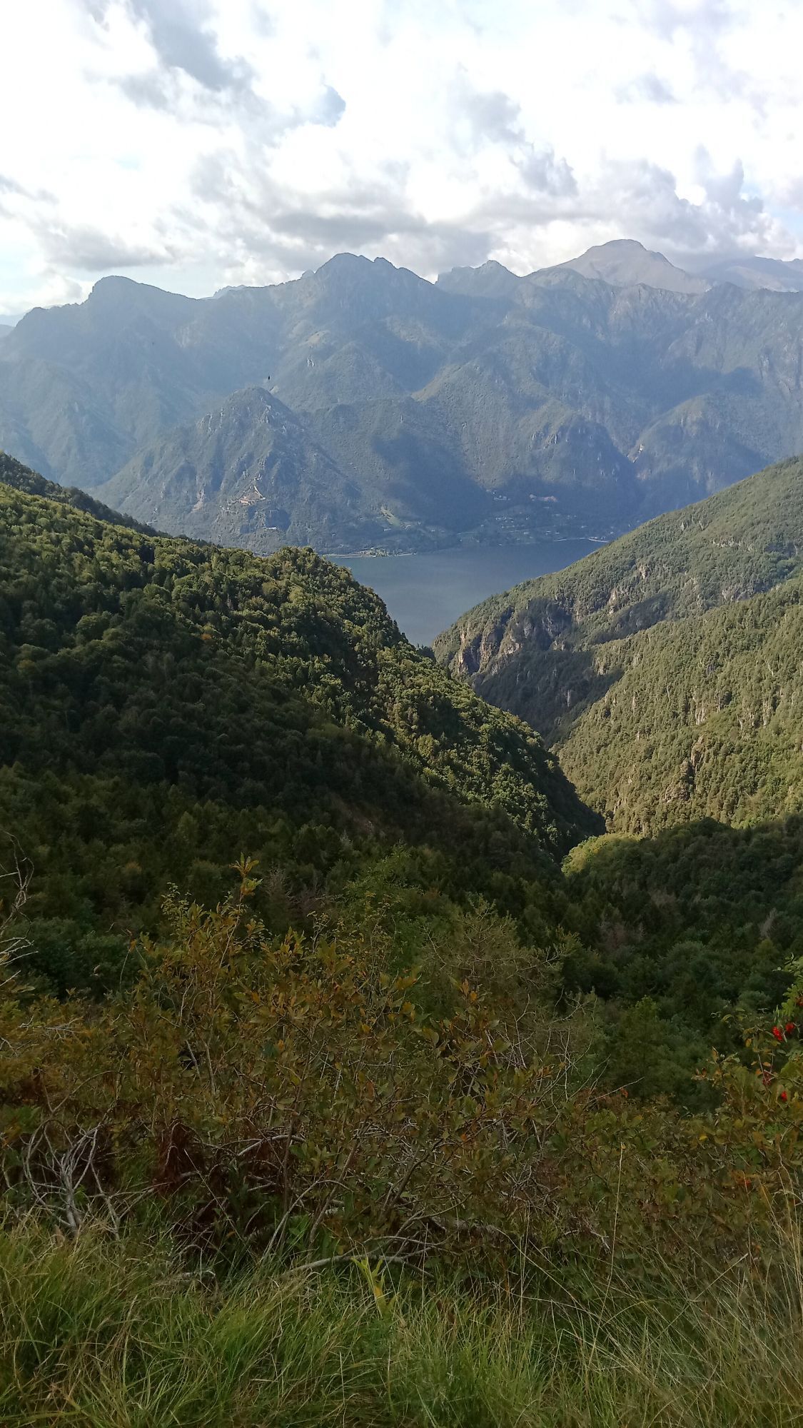
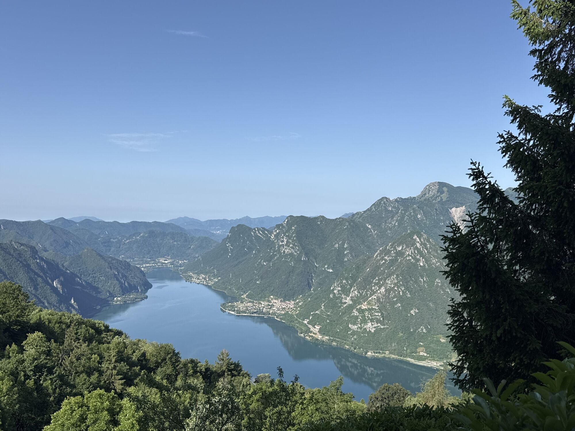
From Crone follow the mainroad to Capovalle. On Passo Rocco before Capovalle is a viewing point (946m). Turn left to the North. At the end of the town, is a small and steep asphalt road. Take this road to reach F. le Lombardi (1246m). You can see the farm from Capovalle. About 150m after the farm by the viewing point turn left. From here you ride on an gravel road. A light descent until the second street on the left hand side. Now follow a steep descent towards Bocca Cocca (1328m). Cross the pass towards the lake (west) at the first opportunity. The first 100 m is slightly difficult, but after that begins an fantastic trail on an old military route (sometimes just 40 cm wide). You have a beautiful view over the lake the whole way down. In Cingolo Rosso (1102m), you arrive at the forest road who leads you up to Bondone. (a visit to Bondone is well recommended). Ride along the lake. You can return on the East bank to Vesta (at some points you need to carry your bike). Molderate alternative from P. Le Berard to Vesta. The beginning is about 1 km after the start from the Forest road Cingiolo in Rosso. Leave the main road with a sharp turn, beneath the house and head to the South. After the wooden hut, direct after the descent is Vesta.

Áno
Obľúbené výlety v okolí
-
4,4
Monte Pizzocolo
ťažkéHorská turistika 8,28 km -
3,2
Rundwanderung Vantone - Cocca di Idro - Ferrata Crénch - Crone - Vantone (Idro, Italien)
ťažkéTuristika 5,15 km -
5,0
Wanderweg 469 - Vantone - Monte Camisino - Mandoal - Piazze - Paröle - Vantone (Idro-Italien)
svetloTuristika 11,7 km -
3,5
Sasso - Eremo di San Valentino
strednáTuristika 2,90 km -
Tremosine, Cima Mughera
svetloTuristika 9,09 km -
4,4
Monte Censo
strednáTuristika 6,55 km -
4,0
Tignale, Wanderung Wasserfälle und Baden
strednáTuristika 5,67 km -
3,2
Vantone Tour
strednáTuristika 4,76 km -
3,5
Navazzo Speichersee Runde und 11km Trail
ťažkéMountainbike 44,1 km -
Ledro Alps Trek Alpiedi - Leg 1: from Storo to Tremalzo
ťažkéTuristika 28,3 km
Turistika a stopovanie


Nenechajte si ujsť ponuky a inšpiráciu na ďalšiu dovolenku
Vaša e-mailová adresa bol pridaný do poštového zoznamu.