







Grand Tour of the Rolla
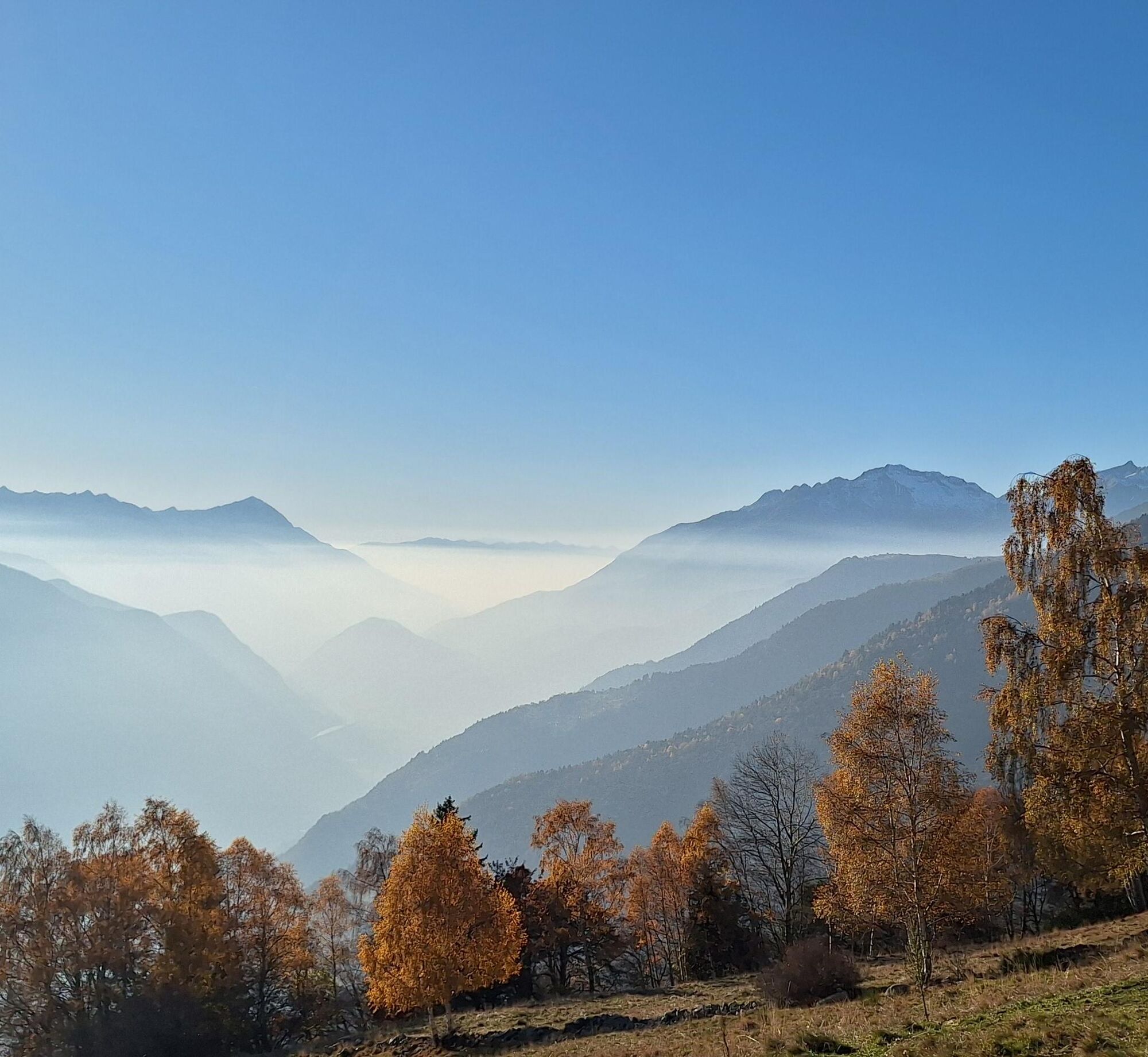
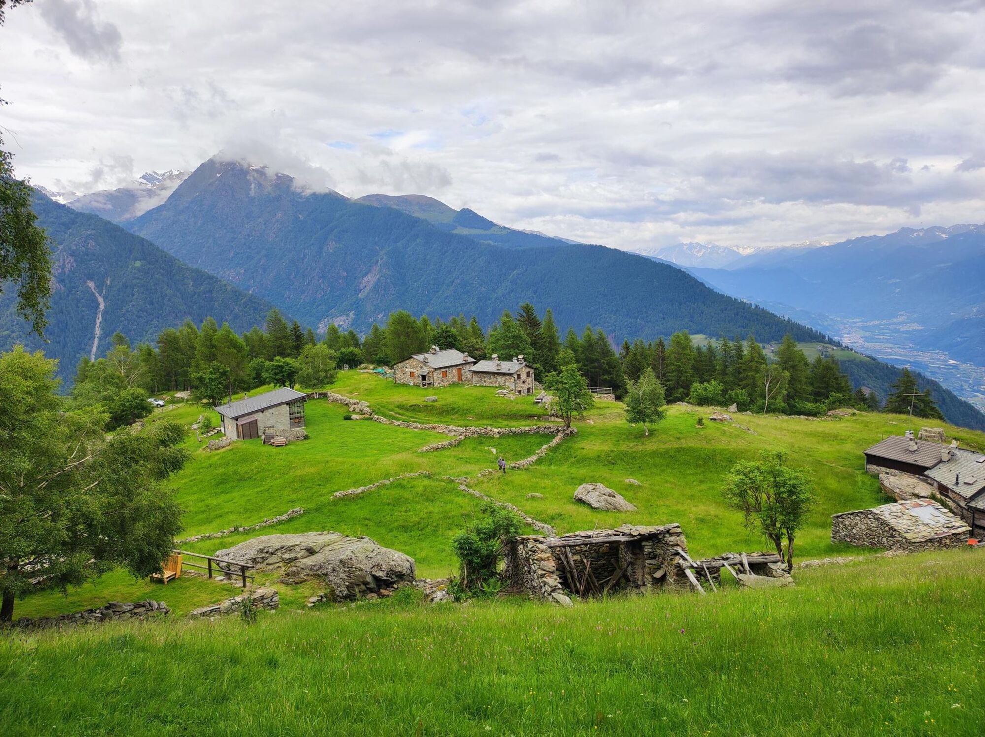
This loop trail starts from about 450 meters above sea level and leads to about 2,000 meters above sea level offering at the different altitudes breathtaking views of the Adamello group, the entire central...
This loop trail starts from about 450 meters above sea level and leads to about 2,000 meters above sea level offering at the different altitudes breathtaking views of the Adamello group, the entire central part of the Orobie, the Dazio ridge and the Disgrazia.
The route can be done in either direction (clockwise or counterclockwise) but we recommend the counterclockwise direction because it offers more interesting views that are enjoyed more going uphill.
Along the trail you can get drinking water at numerous fountains that you can find at: Triangia, Laghetto di Trianga, Ligari, Prati Rolla di Sopra, Alpe Poverzone, Alpe Pianette, Alpe Colina, Lone, Piramidi di Postalesio, Postalesio, Castione. The fountains are generally open from April 1 to October 31, but you may find some open in the winter period (especially in the lower part of the trail).
At Ligari there is a refreshment stand open year-round and at Lake Triangia a restaurant open in the summer season.
There is also a bivouac at Colina Alp.

It is possible to start from Triangia (before entering the village in front of the cemetery there is a large parking lot), from Castione Andevenno (parking lot in front of the Parish Church of San Martino along Via Roma, or a little further on the hairpin bend where you take the SP14 to Vendolo) or from Postalesio (also here before entering the village next to the cemetery there is a parking lot).
Starting from Triangia, go up along the main road called Via Monte Rolla following the signs to Ligari and then to Alpe Poverzone without ever leaving the main road. Along the way there are detours to Mangialdo, Triangina, Soverna, Barboni and Piastorba that should be ignored. When you reach Alpe Poverzone, continue westward following the signs for the lake and Alpe Colina. When you reach the lake, which is slightly to the right of the road, start descending along the main road until you reach first Lone and then Postalesio, passing the Postalesio pyramids.
Starting from Postalesio, follow the signs to Lake Colina. When you reach the lake, which you will find on your left after a large canopy/open stall, continue east along the dirt road to Poverzone from where you descend to Triangia along the main road.
Získajte prehľad
Vždy naživo na mieste s viac ako 9 500 webovými kamerami. bergfex Ako používateľ Pro si teraz môžete pozrieť príslušné webové kamery pre mnohé zájazdy v aplikácii zájazdy z. Môžete si tak priamo prezerať aktuálne podmienky.
Obľúbené výlety v okolí
-
5,0
Palu' Lake, a blue pearl in the center of Valmalenco.
strednáTuristika 8,41 km -
4,5
Porro and Ventina Shelters
svetloTuristika 3,12 km -
5,0
Sentiero Roma in Val Masino
ťažkéTuristika 33,8 km -
Alta Via della Valmalenco
ťažkédiaľková pešia trasa 102,5 km -
4,0
Mufule' Lake Ring
strednáTuristika 5,49 km -
Rifugio Bosio-Galli (from Primolo)
strednáTuristika 8,35 km -
Via Ferrata at Torrione Porro
strednáVia ferrata 2,31 km -
5,0
Fusine-Dordona Pass (MTB-EMTB)
svetloMountainbike 20,4 km -
5,0
Bosio-Galli Refuge (from Piasci)
svetloTuristika 4,58 km -
Cesta Valtellina
strednáCyklistika 113,2 km
Turistika a stopovanie


Nenechajte si ujsť ponuky a inšpiráciu na ďalšiu dovolenku
Vaša e-mailová adresa bol pridaný do poštového zoznamu.





