


Stelvio Epic Rides: Passo Gavia
Úroveň náročnosti: 3
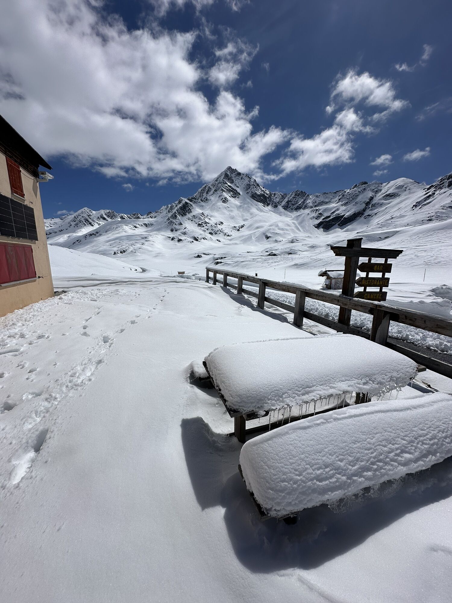
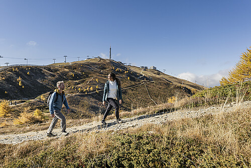
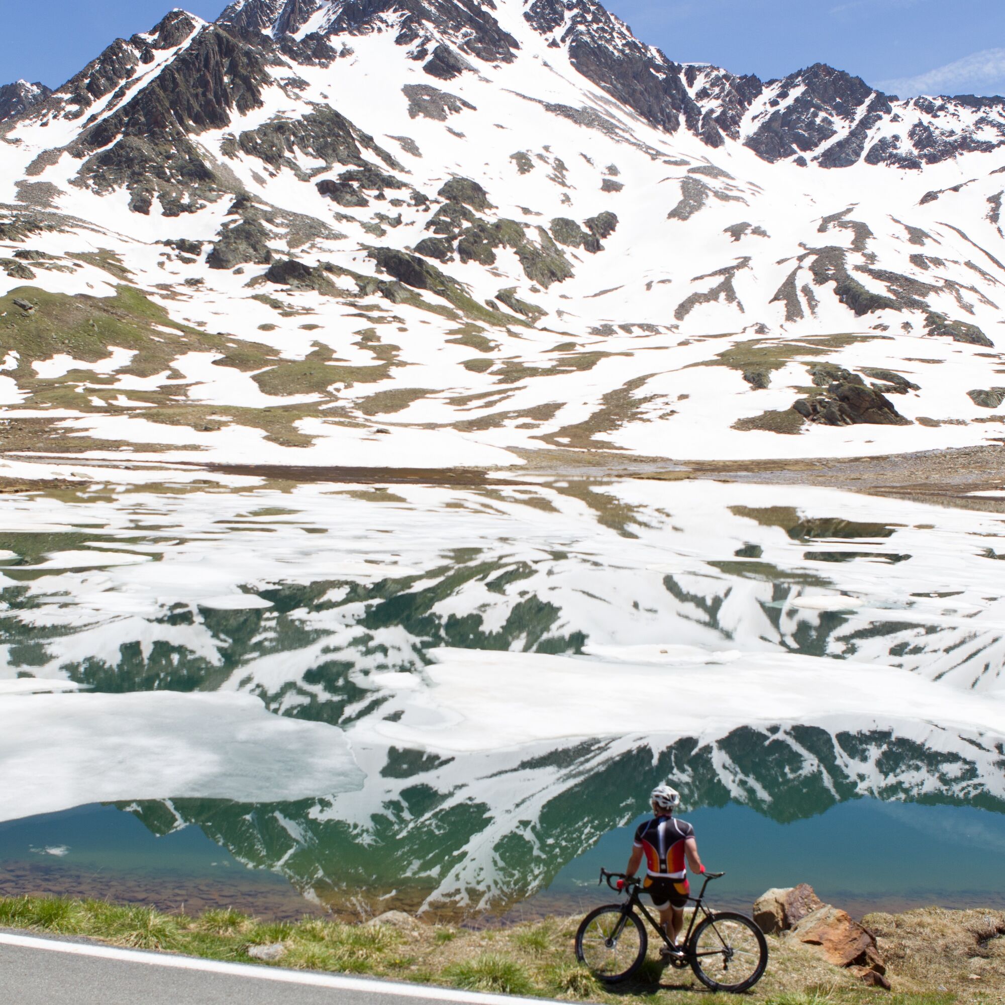
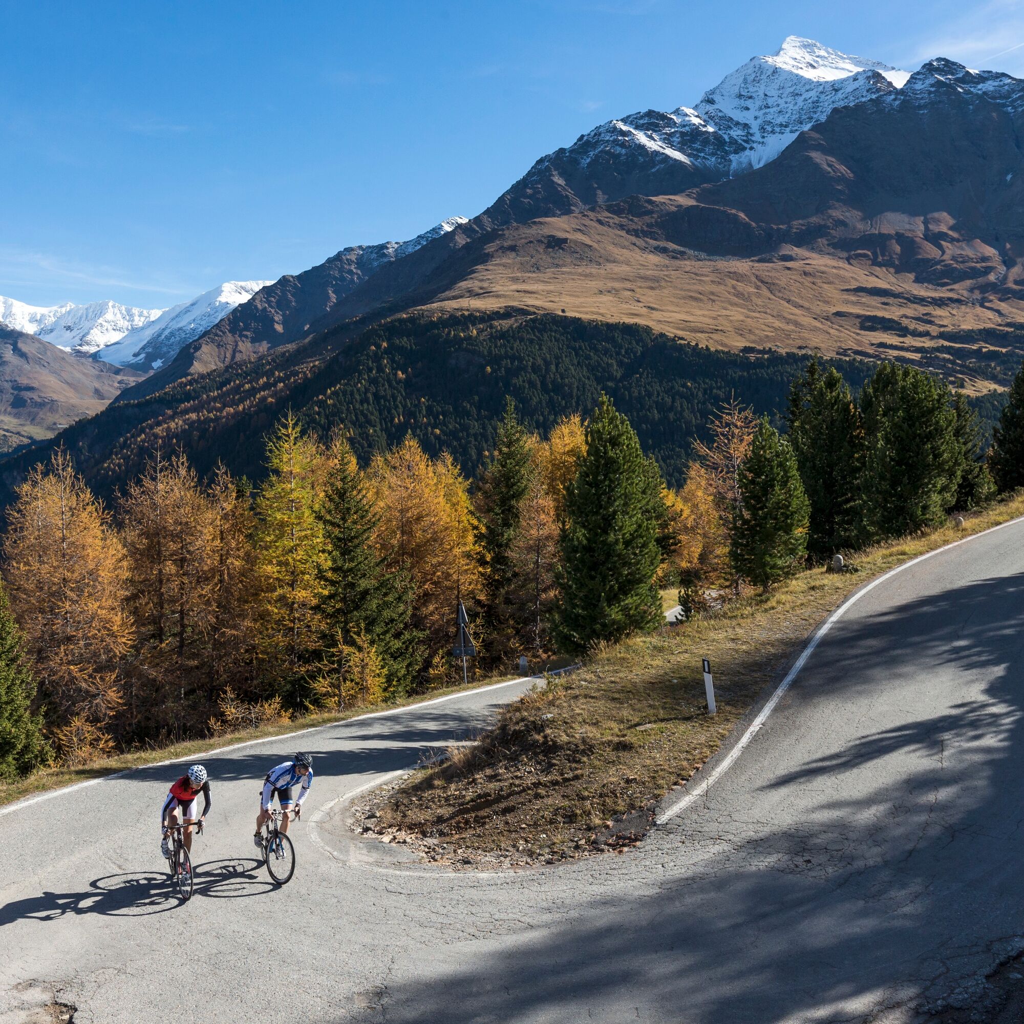
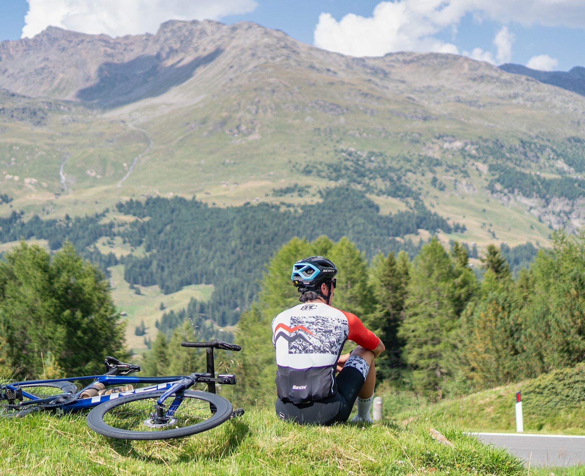
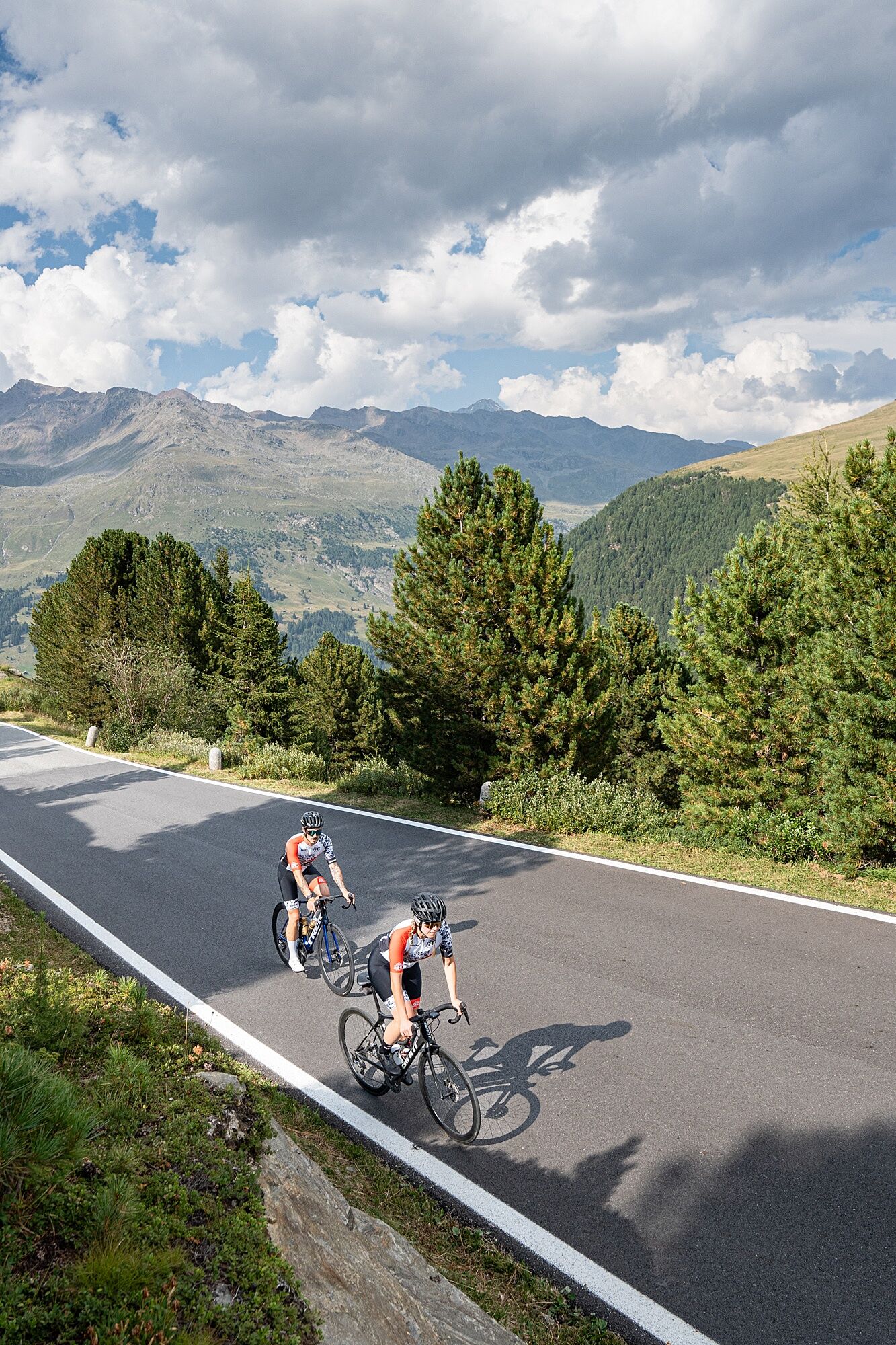
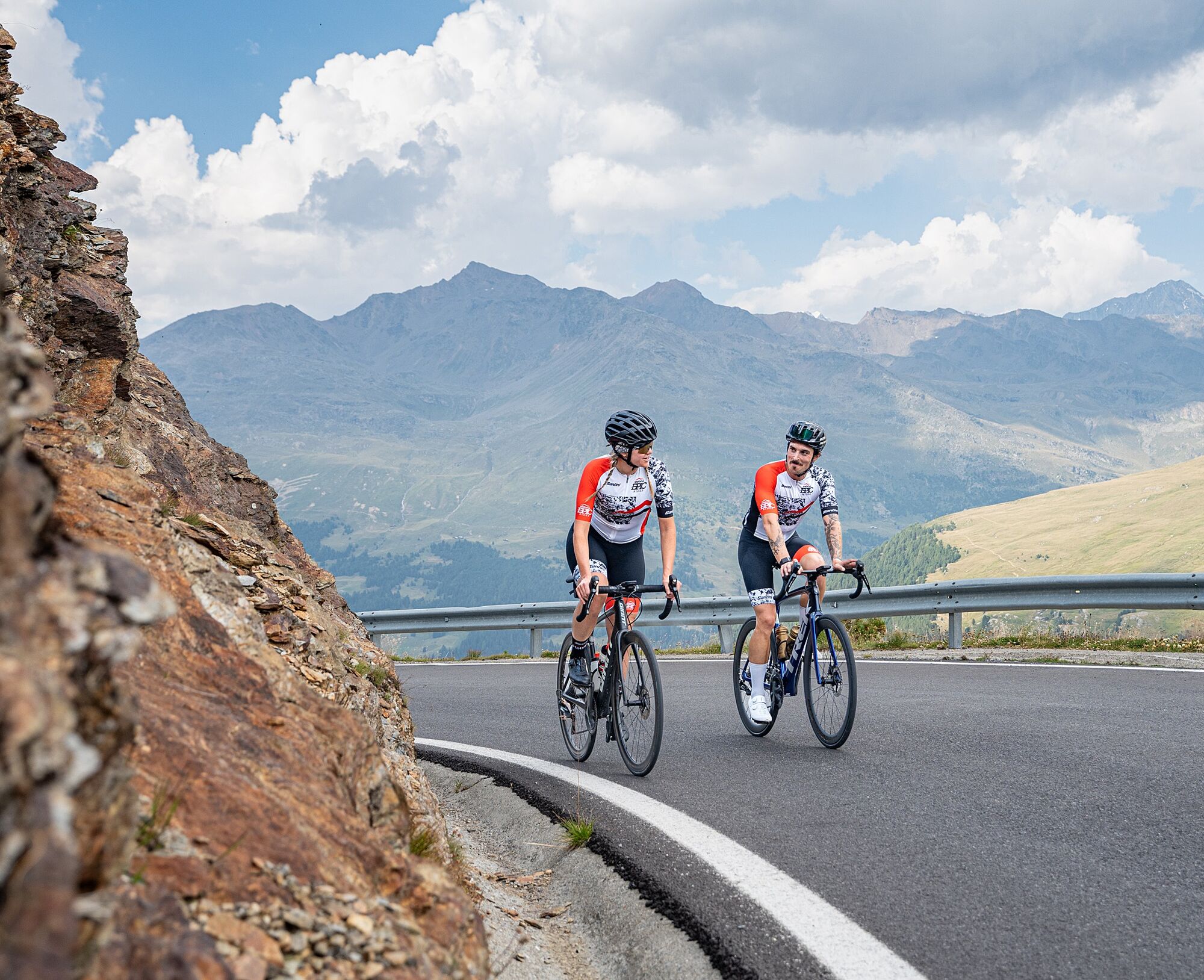
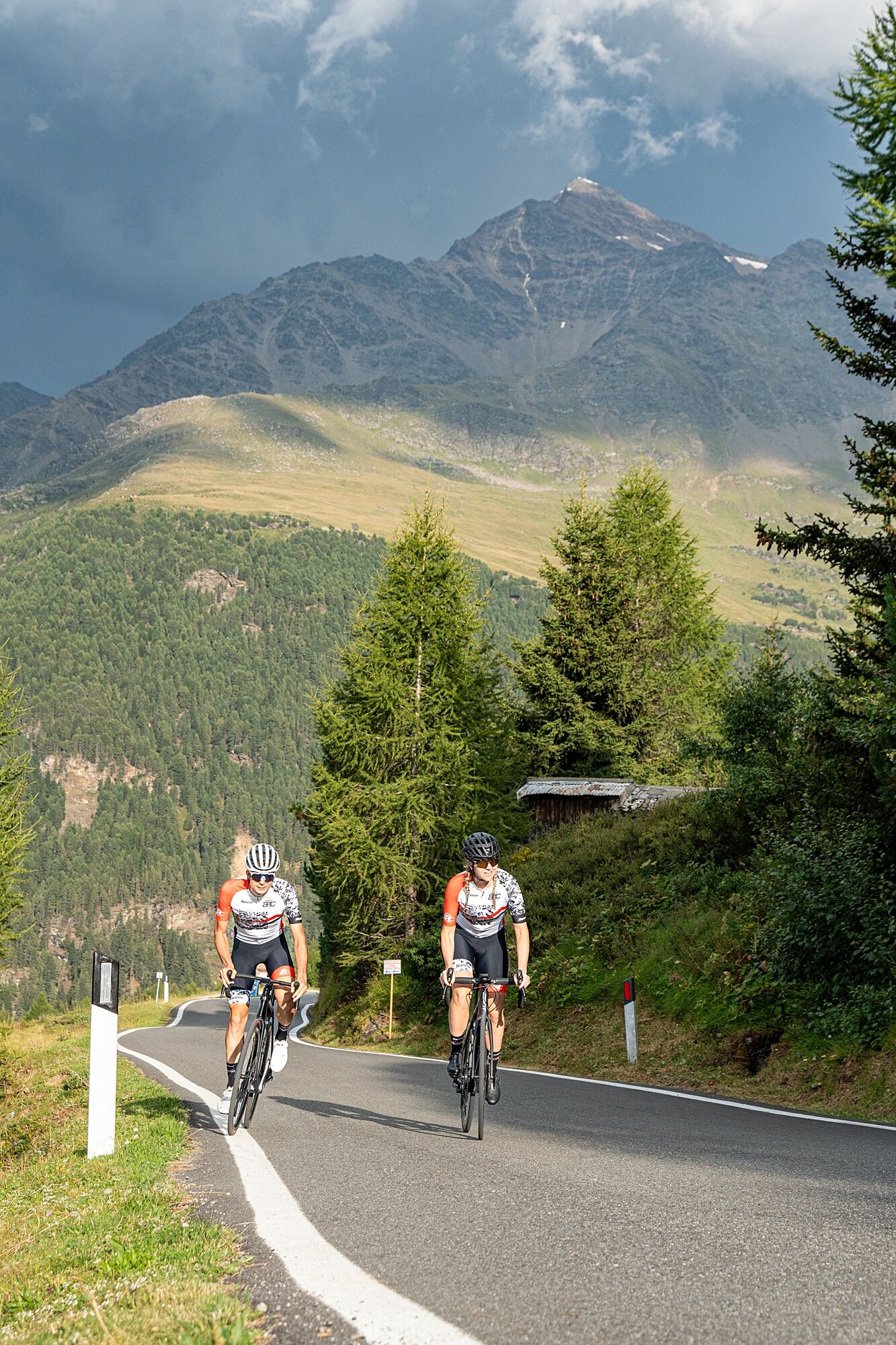
The climb to Passo Gavia from Bormio is a journey through unspoiled nature. About 25 km long, with an elevation gain of about 1400 meters, it alternates challenging sections with brief reliefs. The road,...
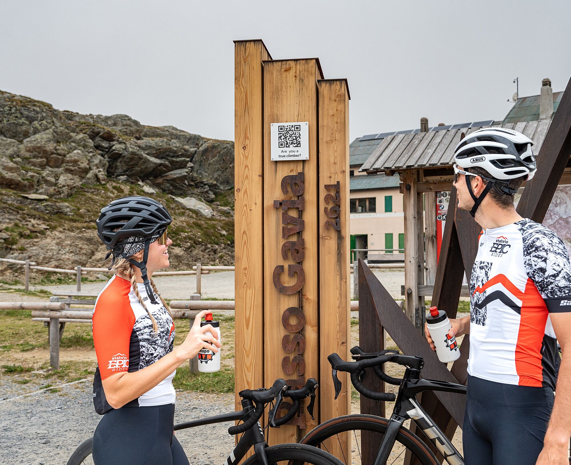
The climb to Passo Gavia from Bormio is a journey through unspoiled nature. About 25 km long, with an elevation gain of about 1400 meters, it alternates challenging sections with brief reliefs. The road, narrow and at times exposed, crosses woods, pastures, and rocky areas, culminating at 2621 meters at the pass with a view of the alpine lakes. It is a climb that demands respect and preparation, but it offers unforgettable emotions.
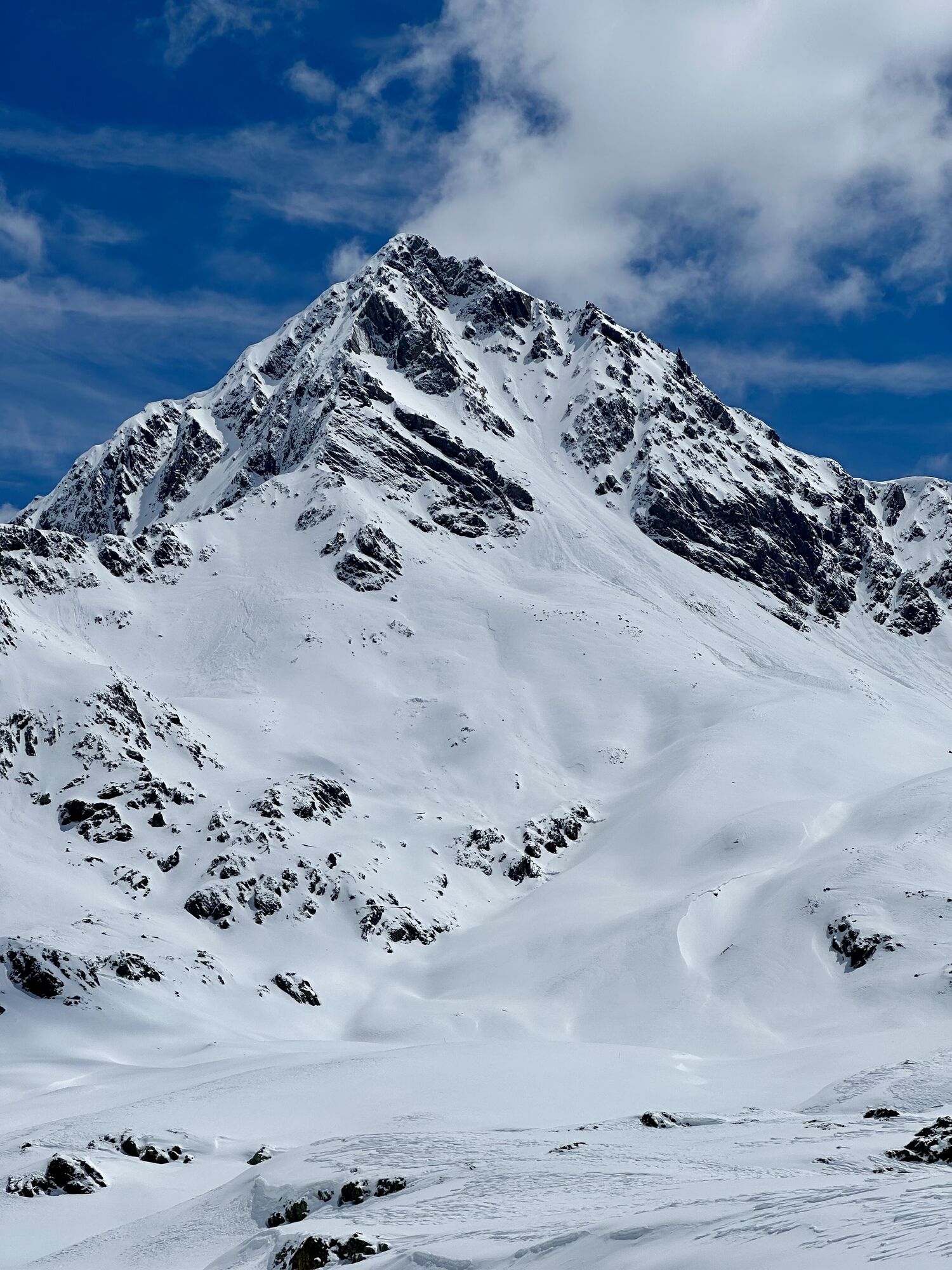
It returned to prominence in 2010 with the Giro d'Italia passage. The climb starts already from Bormio, although it gets tough after Santa Caterina. Climbing steadily for a few kilometers, you reach the Roccette area, where you can admire the valley and the Forni valley, dominated by a vast glacier.
At the pass stands the statue of the MADONNA DELLE VETTE, called to watch over and protect cyclists.


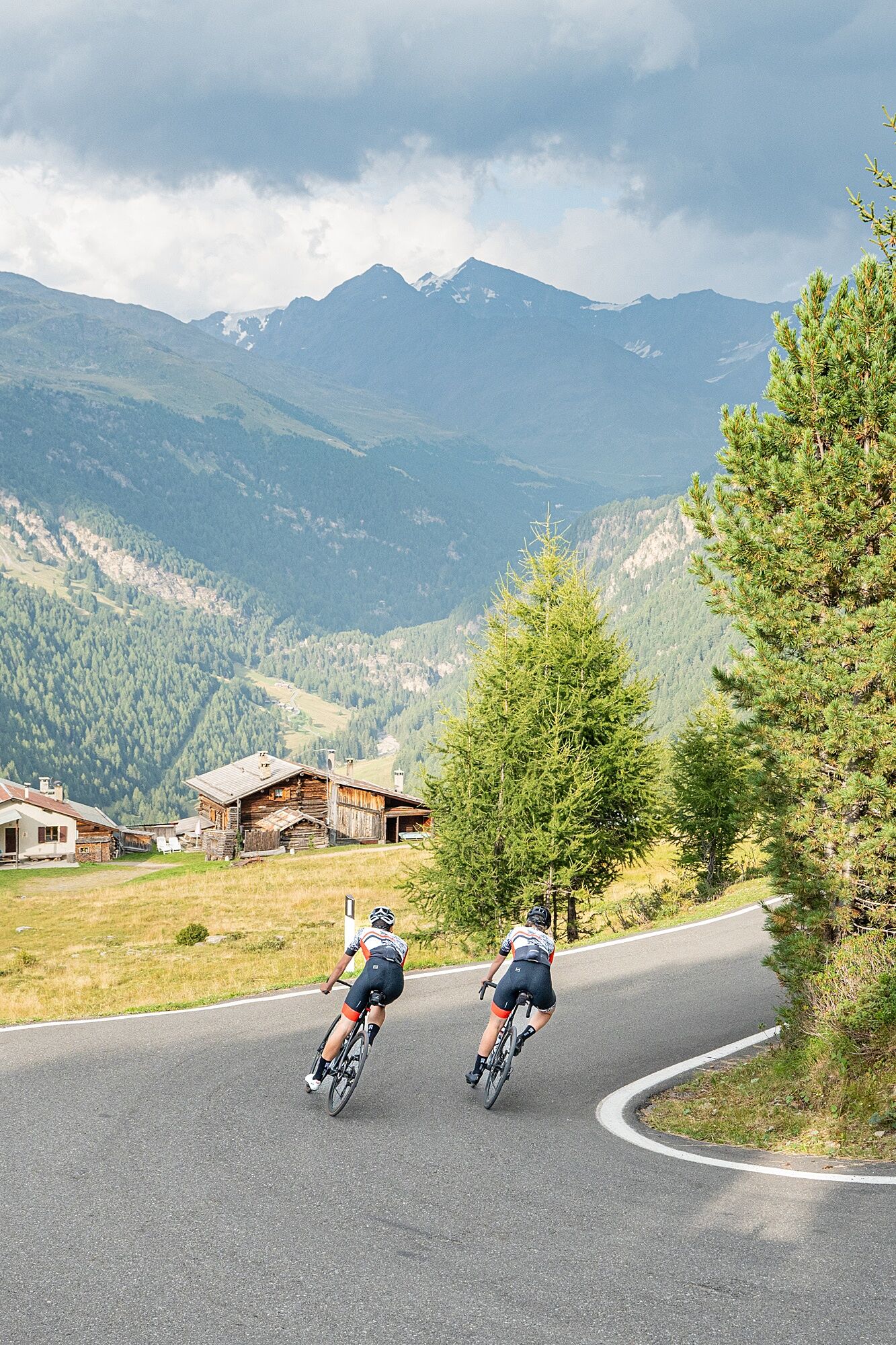
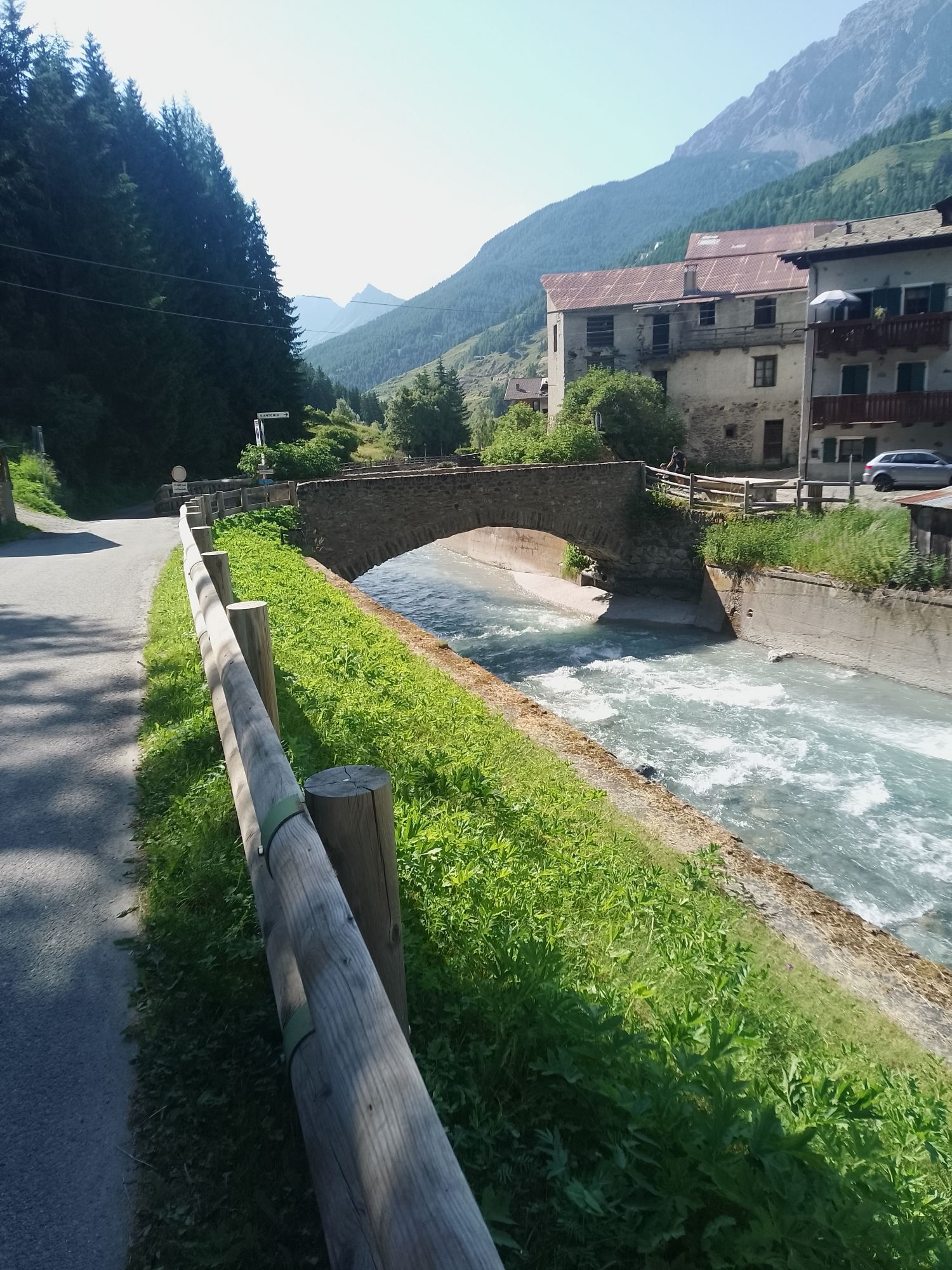
For those starting from Bormio, Valdidentro, or Valdisotto, follow road SS300 leading to Santa Caterina, from there begins the real climb.
Áno
Road Bikes: Agile gears are a must (compact 50/34 or 52/36 front and 11-32/34 rear). The road was newly paved in 2024.
MTB/Gravel: An excellent choice for stability and to better absorb irregularities in the road surface, especially in the more exposed parts with less uniform pavement.
E-bike: Allows you to overcome demanding slopes and fully enjoy the wild beauty of the pass. Make sure you have good battery life.
Clothing: Similar to Stelvio, but with particular attention to windproof/rain jackets.
Accessories: Front and rear lights are essential even during the day.
To guarantee you an unforgettable and safe experience on the roads and trails of Alta Valtellina, we invite you to follow these simple but fundamental guidelines:
Helmet Always Mandatory: Always wear your helmet, properly fastened. It is your main safety device, indispensable on every outing.
Adequate Clothing: Mountain weather changes quickly. Prepare layered clothing to protect you from sun, wind, rain, and cold. Gloves and glasses are recommended.
Essential Repair Kit: Always carry a minimal repair kit: spare inner tube (or tubeless kit), pump/CO2 cartridge, tire levers, multi-tool.
Hydration and Nutrition: Stay hydrated by drinking regularly. Carry enough water and energy supplements (bars, gels) for the entire ride.
Weather Conditions: Always check the weather forecast before heading out and be ready to adapt quickly in the mountains. In case of sudden bad weather (storms, fog), seek shelter.
Respect the Traffic Code: Even if our roads are less trafficked, always respect the traffic rules. Ride in single file, signal your intentions, and pay attention to other road users.
Do not leave traces or abandon waste.
Communication and Emergency: In case of emergency, know whom to contact (e.g., single emergency number 112/118).
3
Road Surface: In some sections, especially at high altitude, the surface can be damaged with potholes or debris. Be careful.
Weather Conditions: Gavia is known for its sudden climate changes. Always be prepared for all conditions, even in midsummer. Fog is frequent.
Water: There are not many water refill points after Santa Caterina Valfurva. Start with full bottles.
Refuges: Rifugio Bonetta at the top is a reference point for a break and refreshment.
Pay attention to the narrower sections and bring lights with you even during the day.
It is a climb to be tackled calmly, enjoying the breathtaking landscape around you.
Obľúbené výlety v okolí
-
3,9
Von Sulden zur Hinteren Schöntaufspitze
strednáTuristika 12,7 km -
3,7
Payerhütte 3020m
Turistika 6,98 km -
5,0
Wanderung/Aufstieg zur Payerhütte
svetloTuristika 15,9 km -
4,3
Sonnenaufgang auf der Rötelspitze im Nationalpark Stilfserjoch
Turistika 2,02 km -
4,5
Obervinschgau - Madritschjoch, der höchste Transalp Übergang
Mountainbike 9,54 km -
4,3
Ortler – Normalweg
ťažkéVysoké turné 7,30 km -
3,3
Watervallen wandeling
svetloTuristika 4,95 km -
Ortler über Meraner Weg (vom Tal/Trafoi)
ťažkéVysoké turné 11,9 km -
5,0
Pistenskitour zum Madritschjoch (3.123m)
svetloSkitour 16,6 km -
4,8
Wanderung: Heilige drei Brunnen zur Berglhütte
svetloTuristika 5,51 km
Turistika a stopovanie


Nenechajte si ujsť ponuky a inšpiráciu na ďalšiu dovolenku
Vaša e-mailová adresa bol pridaný do poštového zoznamu.