


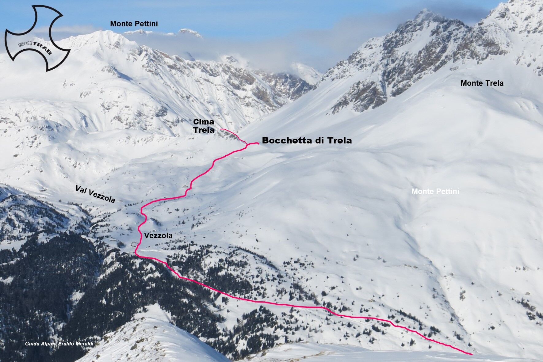
Mouth of Trela
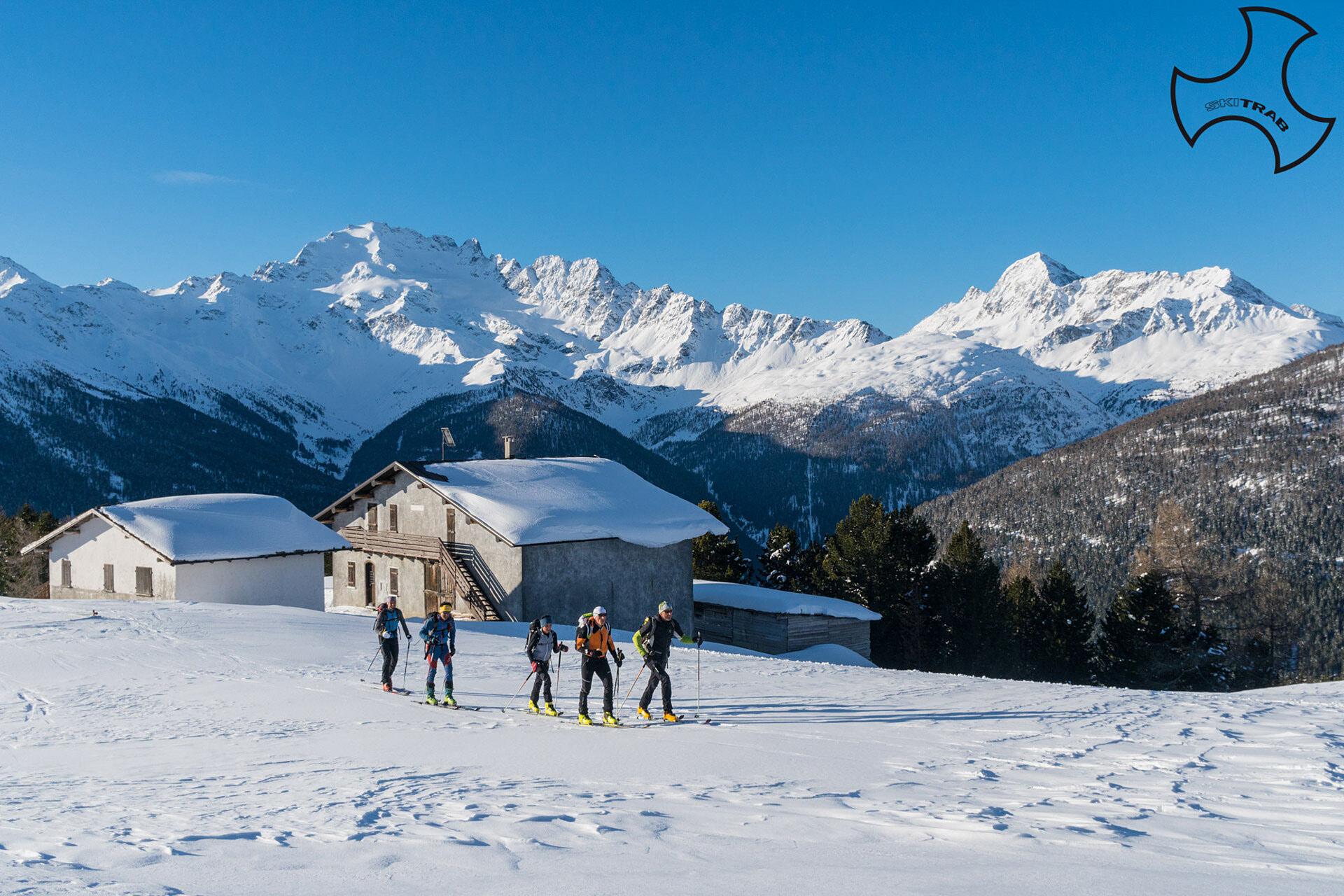
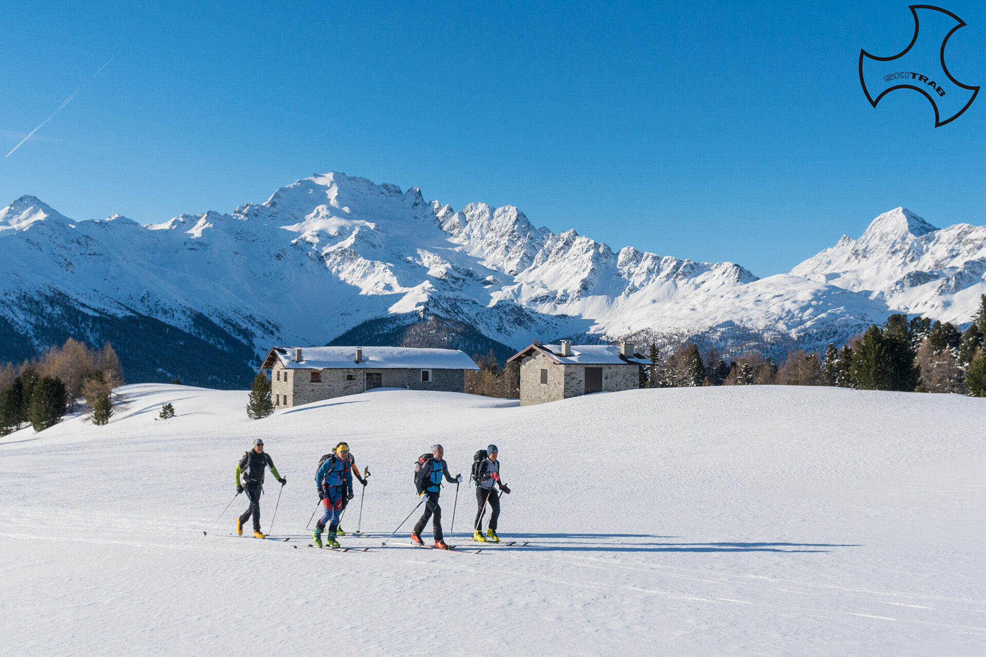
From Sant'Antonio di Scianno, follow the nice little road that climbs with a slight slope through the beautiful forest, arriving after a few hairpin bends at the first huts of Alpe Gattonino. Continue...
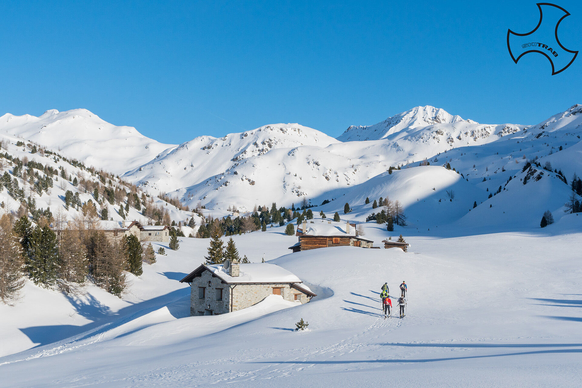
From Sant'Antonio di Scianno, follow the nice little road that climbs with a slight slope through the beautiful forest, arriving after a few hairpin bends at the first huts of Alpe Gattonino. Continue always following the small road at the basal edge of the wide meadow area until it crosses the flat road connecting Cancano with Arnoga. From here with a long diagonal turn to the left staying preferably on the road that climbs into the Vezzola valley you arrive at Vezzola placed at the wooded edge. Now on open ground continue northward going to cross a narrow little valley arriving shortly after at an isolated hut. Climb nearby and continue north until you cross a last short slope at Bocchetta di Trela. If you want to reach Cima Trela, continue left going over a short steep slope leading to the summit.

Stelvio Pass, Rifugio Livrio, Cima Tuckett.
Self-rescue equipment (ARTVA, shovel and probe).
The route description and trail are approximate and should be verified on site depending on the condition of the snowpack present during the hike.
Because this is a hike in a snowy mountain environment at high altitudes subject to continually changing snowpack conditions, it is advisable to have adequate experience in ski mountaineering, knowledge of the area, and up-to-date information on snow conditions.
Accompaniment with a professional guide is recommended.
Passed the bridge on the right.
The route description and trail are approximate and should be verified on site depending on the condition of the snowpack present during the hike.
Because this is a hike in a snowy mountain environment at high altitudes subject to continually changing snowpack conditions, it is advisable to have adequate experience in ski mountaineering, knowledge of the area, and up-to-date information on snow conditions.
Accompaniment with a professional guide is recommended.
Obľúbené výlety v okolí
-
4,3
Sonnenaufgang auf der Rötelspitze im Nationalpark Stilfserjoch
Turistika 2,02 km -
3,4
Sta.Maria, Prà da Vau - Lai da Rims - Alp Sot - Prà da Vau
ťažkéTuristika 14,7 km -
5,0
Crap da la Pare' with Joëlette
svetloTuristika 4,58 km -
2,0
Military Historical Hiking Trail "Scorluzzo"
strednáTuristika 9,52 km -
5,0
TIP Panorama Road Tyrol ➤ Stelvio Pass
svetloMotorrad 40,8 km -
5,0
Val Nera Waterfalls
svetloTuristika 5,70 km -
4,2
Val Federia Livigno
strednáElektronický bicykel 26,5 km -
5,0
Piz Umbrail und Abstieg zum Lai da Rims
ťažkéVysoké turné 15,0 km -
3,0
Val Mora - A sense of the Canadian wilderness
strednáTuristika 21,6 km -
5,0
444.02: Nationalpark Bike-Tour 2. Etappe
ťažkéMountainbike 39,6 km
Turistika a stopovanie


Nenechajte si ujsť ponuky a inšpiráciu na ďalšiu dovolenku
Vaša e-mailová adresa bol pridaný do poštového zoznamu.