







Valley Peak

From Arnoga follow the carriage road that halfway up the hillside runs through Val Viola and past the detours for Sattarona, Val Verva, you arrive after passing the Campo huts at the fork for Stagimel....
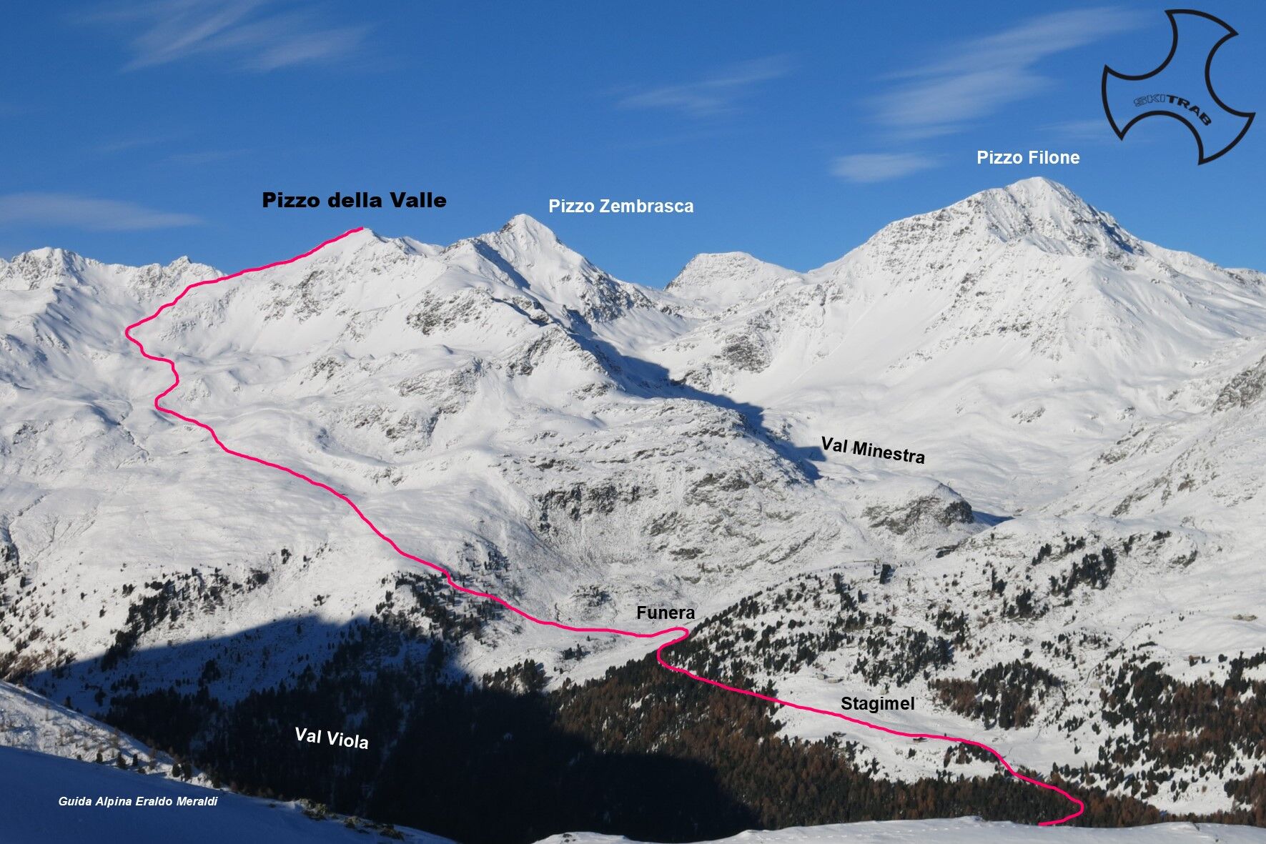
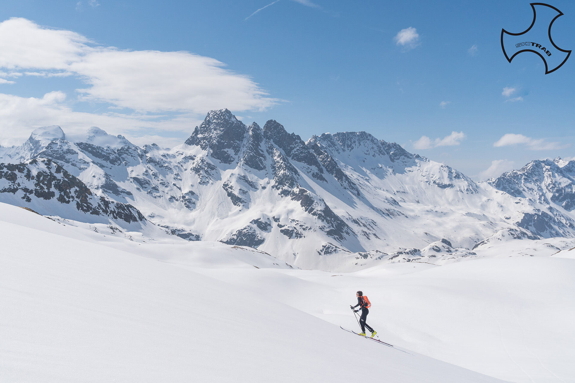
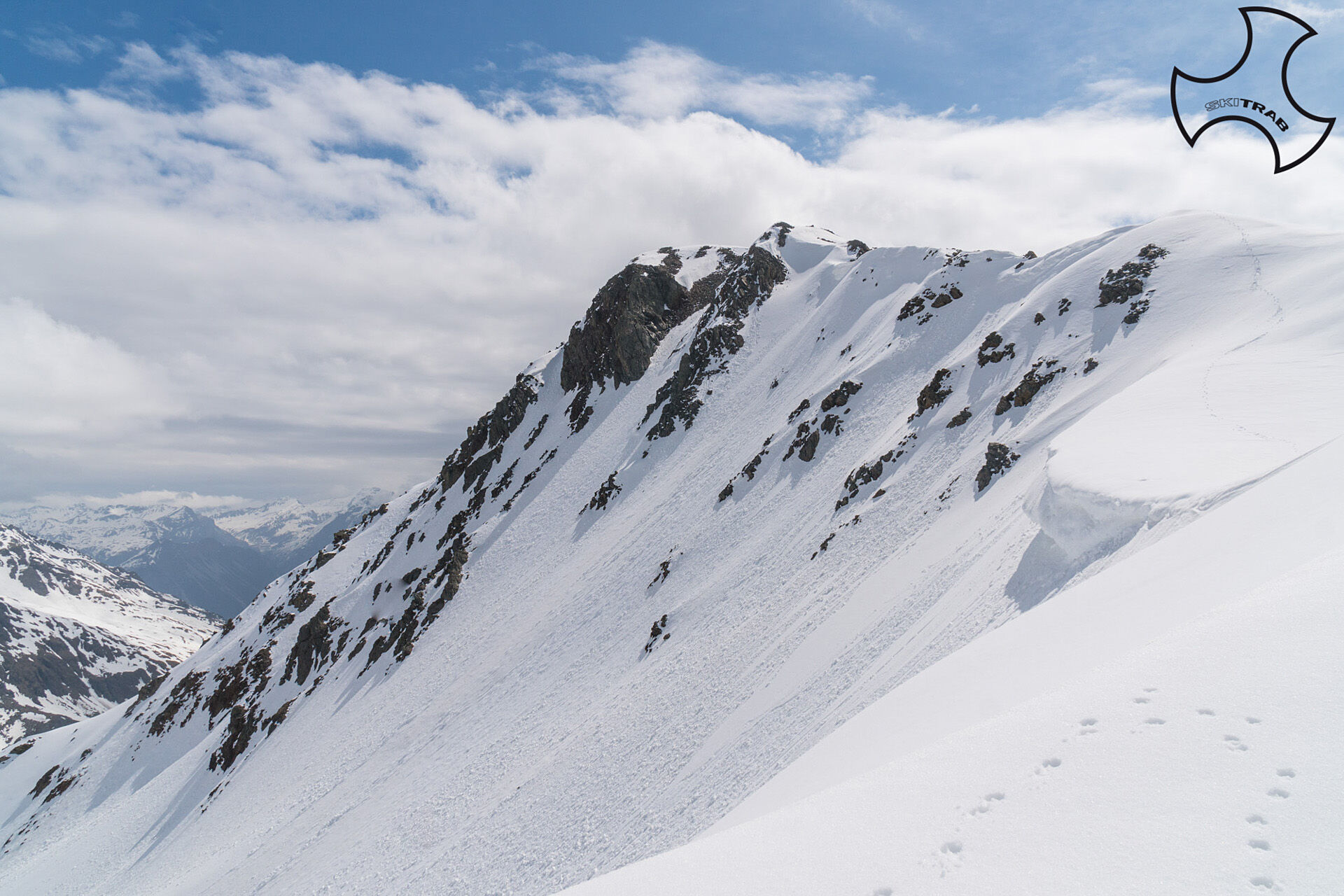
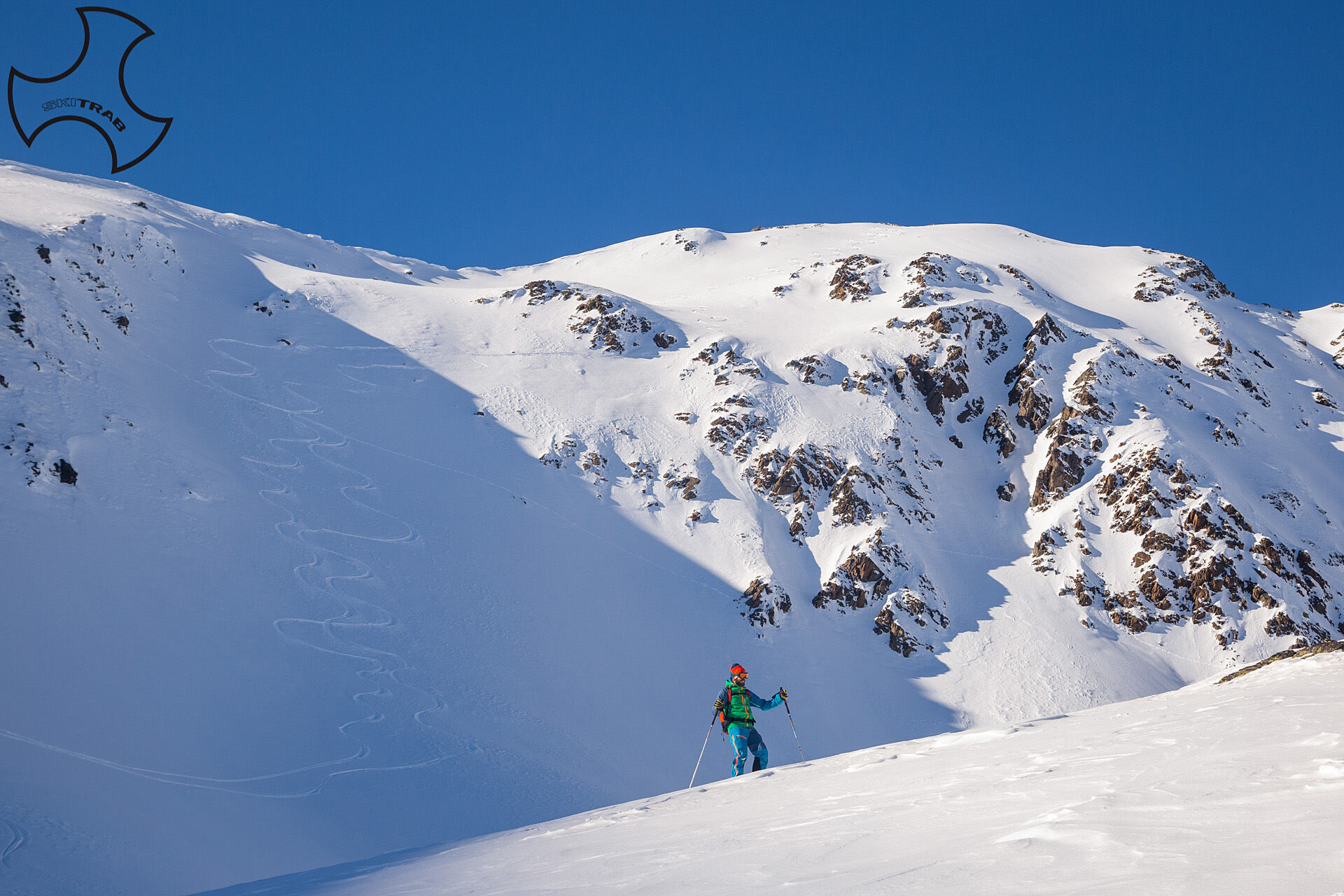
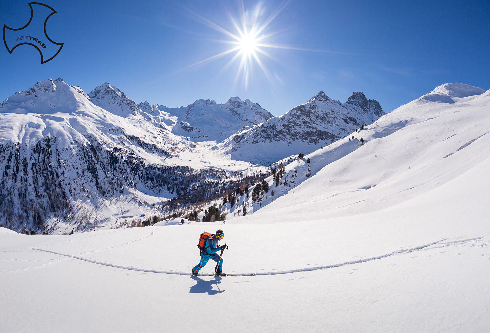
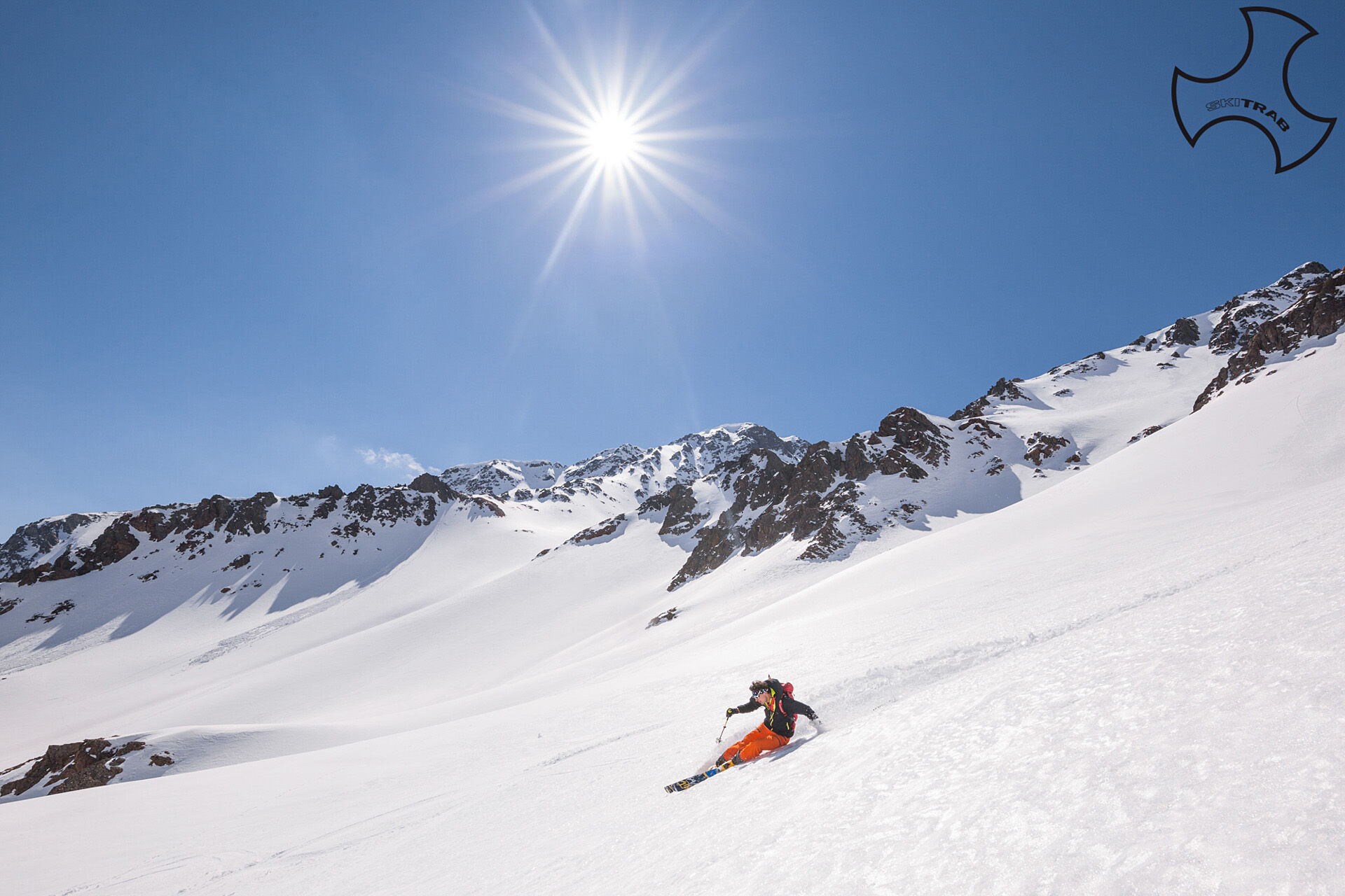
From Arnoga follow the carriage road that halfway up the hillside runs through Val Viola and past the detours for Sattarona, Val Verva, you arrive after passing the Campo huts at the fork for Stagimel. Then climb to the right, through a beautiful forest, and shortly after a few hairpin bends to the Baite di Stagimel huts; from here in a westerly direction continue following the small road that leads into Val Minestra and when you reach the bridge cross over to the opposite side. Still in a westerly direction, you gradually lose a bit of elevation gain by taking the left side of the slope in front of you and, having climbed the steep section, you arrive on some false plateaus that lead toward Lake Forbesana. Passing it on the right, you now continue on steeper slopes that lead to the nozzle on the south ridge; following the gradually widening ridge you reach the summit.

Arnoga, Sattarona, Horn the Resa.
Self-rescue equipment (ARTVA, shovel and probe). Rampant.
The route description and trail are approximate and should be verified on site depending on the condition of the snowpack present during the hike.
Because this is a hike in a snowy mountain environment at high altitudes subject to continually changing snowpack conditions, it is advisable to have adequate experience in ski mountaineering, knowledge of the area, and up-to-date information on snow conditions.
Accompaniment with a professional guide is recommended.
At the hairpin bend descend to the left.
The route description and trail are approximate and should be verified on site depending on the condition of the snowpack present during the hike.
Because this is a hike in a snowy mountain environment at high altitudes subject to continually changing snowpack conditions, it is advisable to have adequate experience in ski mountaineering, knowledge of the area, and up-to-date information on snow conditions.
Accompaniment with a professional guide is recommended.
Obľúbené výlety v okolí
-
5,0
Mountain hike to Lagh da Saoseo
ťažkéTuristika 15,0 km -
4,8
Lagalb - Val Minor - Motta Bianca - Lagalb
strednáTuristika 9,80 km -
4,7
Val Nera Waterfalls
svetloTuristika 5,70 km -
5,0
Crap da la Pare' with Joëlette
svetloTuristika 4,58 km -
5,0
Ospizio Bernina Station - Alp Grüm (-Cavaglia)
svetloTuristika 4,97 km -
5,0
Monte Scale Loop Trail
ťažkéTuristika 7,53 km -
4,2
Val Federia Livigno
strednáElektronický bicykel 26,5 km -
4,5
Da Sfazù a lago Saoseo
svetloTuristika 11,0 km -
5,0
Livigno–Tour of the Lakes: Cancano–San Giacomo
strednáMountainbike 47,1 km -
Mount of Mines
strednáSkitour 4,78 km
Turistika a stopovanie


Nenechajte si ujsť ponuky a inšpiráciu na ďalšiu dovolenku
Vaša e-mailová adresa bol pridaný do poštového zoznamu.





