







St. James Peak

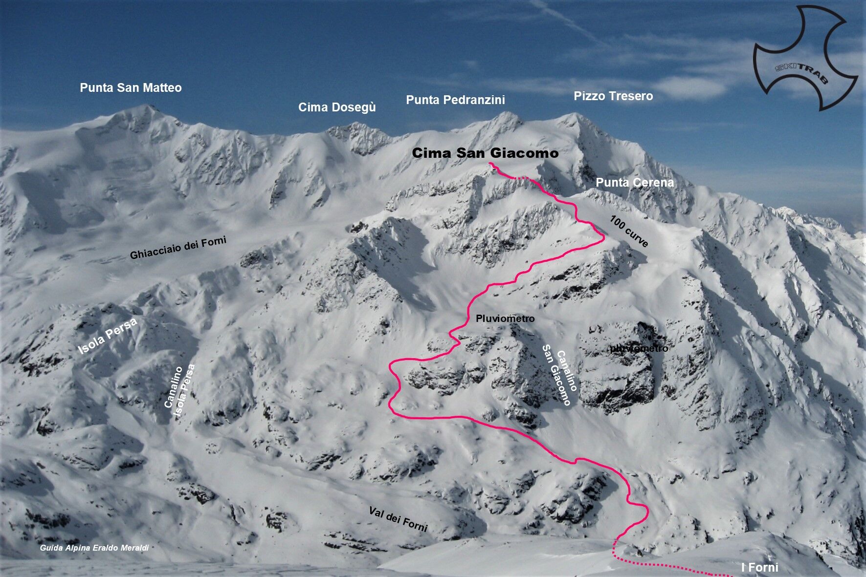
From the Forni, you go to the vicinity of the small artificial barrage and pass it at its base, bringing you to the right of the Frodolfo stream. You skirt the stream, gradually rising to the right for...
From the Forni, you go to the vicinity of the small artificial barrage and pass it at its base, bringing you to the right of the Frodolfo stream. You skirt the stream, gradually rising to the right for about 300 meters, then bending sharply to the right under an obvious rocky bank. When you reach a plateau, at the base of the S.Giacomo gully, you go left, thus bypassing the wide rocky band, bringing you to the middle amphitheater of the northern slope of S.Giacomo. (an area also known as the rain gauge area). You descend briefly into the basin continuing then slightly to the right going up the wide eastern slope leading onto the western part of the S.Giacomo Vedretta. You now climb to an obvious plateau located just above 3100 m at the base of a short, very steep section. You climb it until you reach a depression. Go to the NE ridge and take off your skis for the last steep section to reach the small summit plateau.

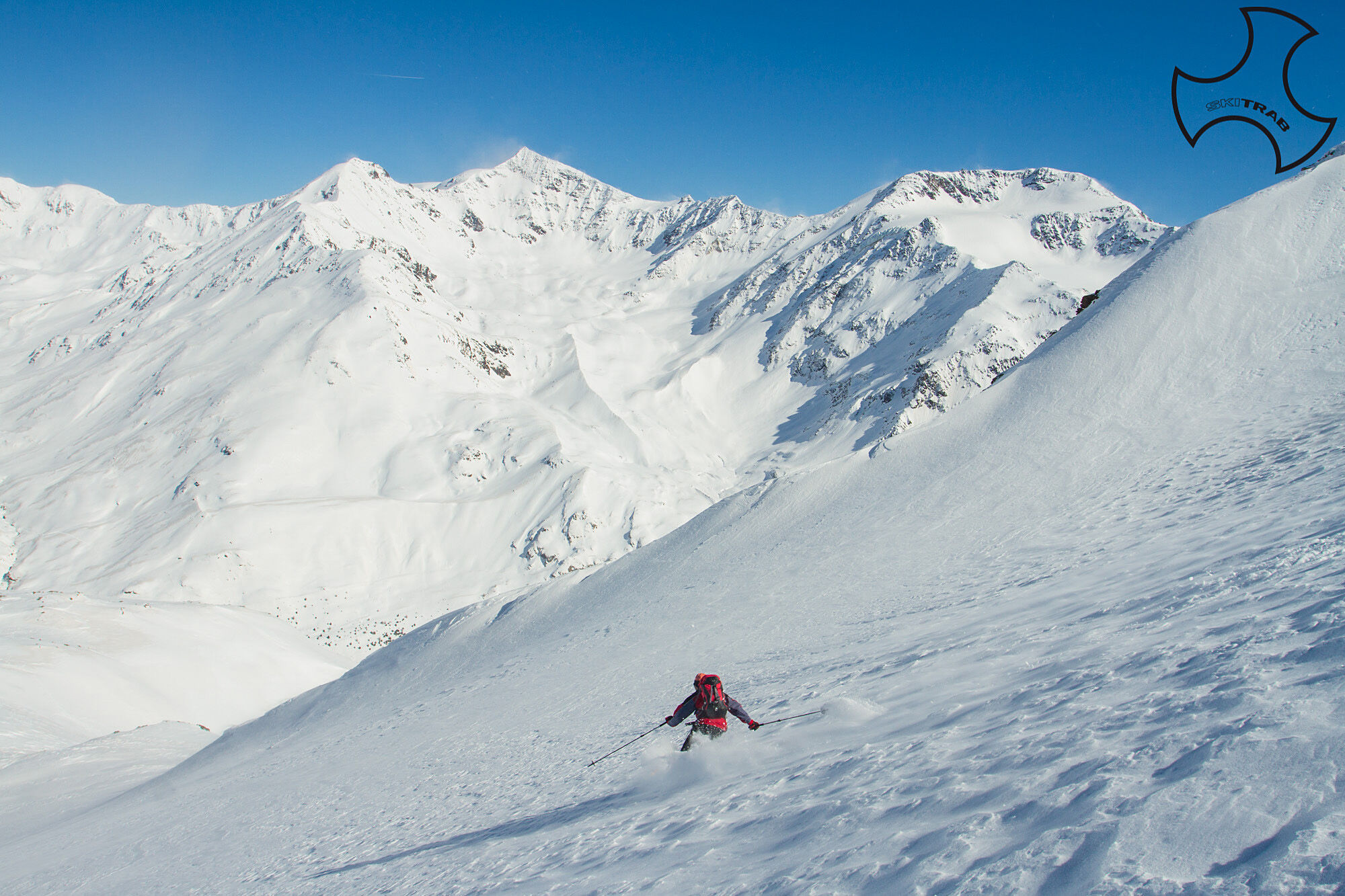

Plaghera, Alp Valley, Mt. Sobretta North.
Self-rescue equipment (ARTVA, shovel and probe). Rampant, harness, ice axe and crampons.
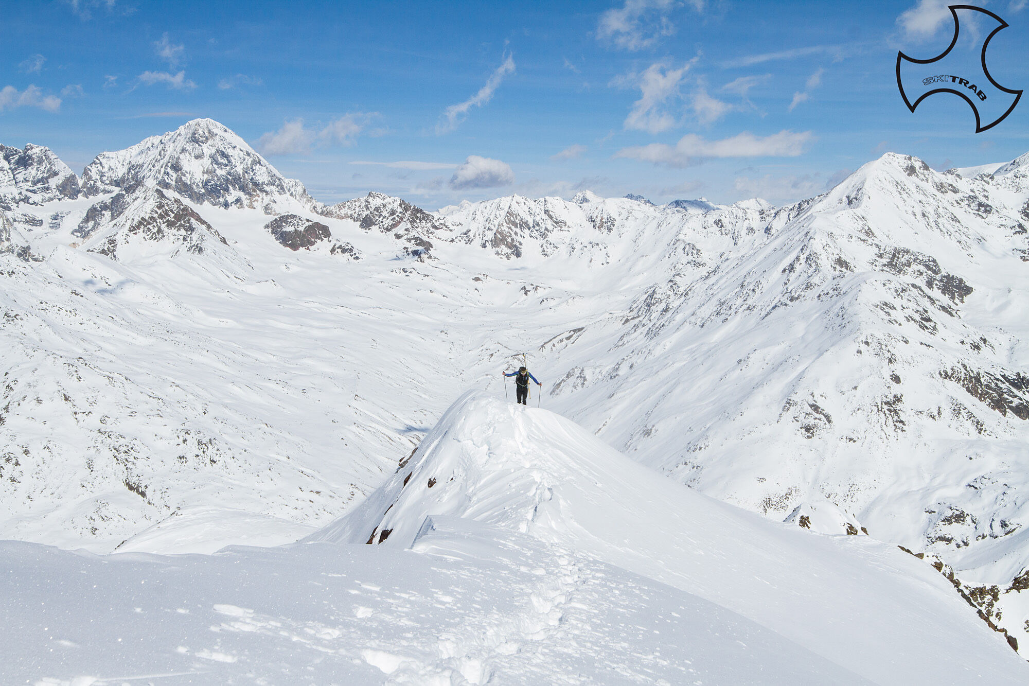
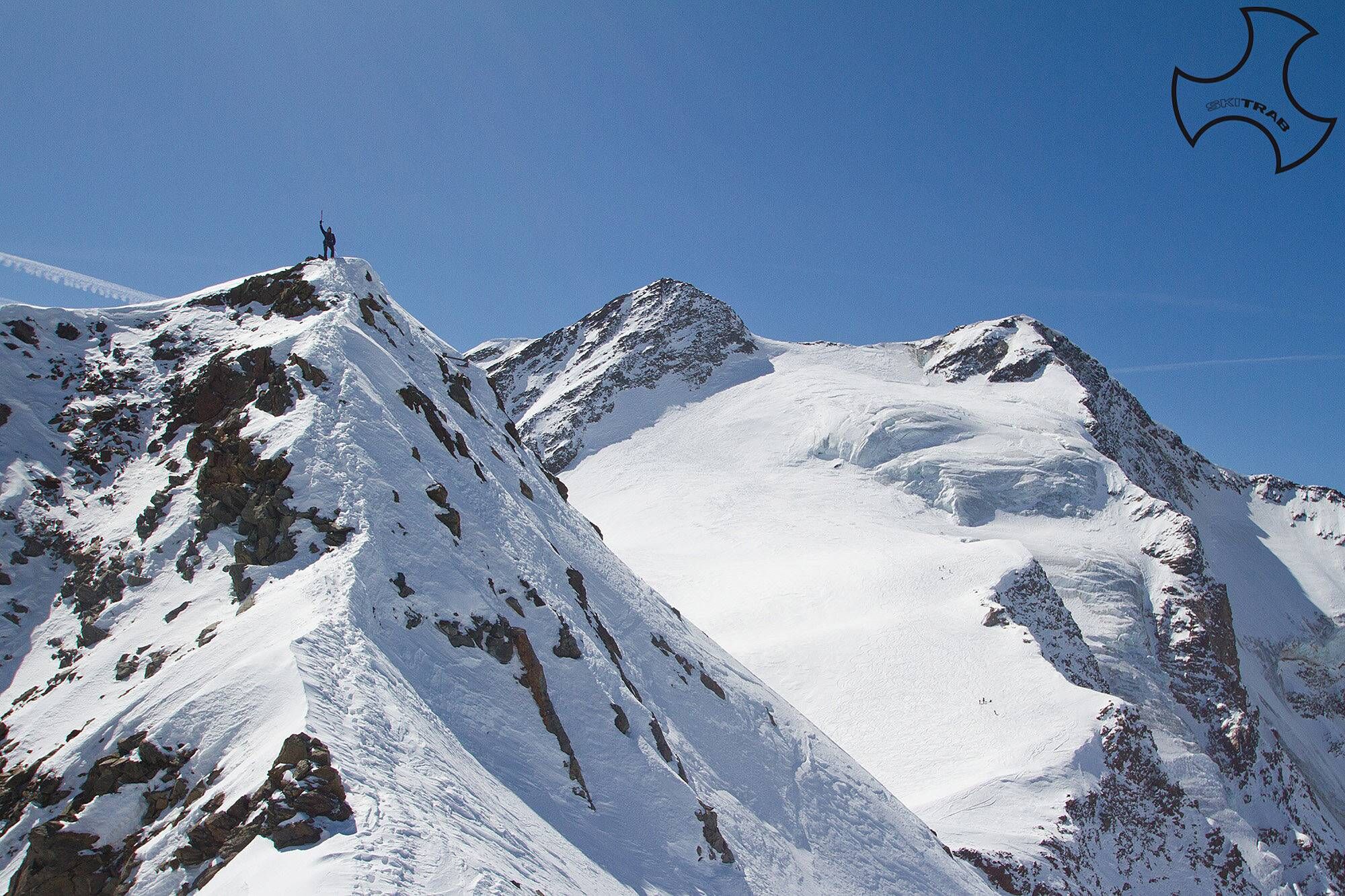
The steep section above the Vedretta di San Giacomo with hard snow is best climbed on foot. The final ridge leading to the summit is very exposed.
The route description and trail are approximate and should be checked on site depending on the condition of the snowpack present during the hike.
Because this is a hike in a snowy mountain environment at high altitudes subject to constantly changing snowpack conditions, it is advisable to have adequate experience in ski mountaineering, knowledge of the area and up-to-date information on snow conditions.
Accompaniment with a professional guide is recommended.
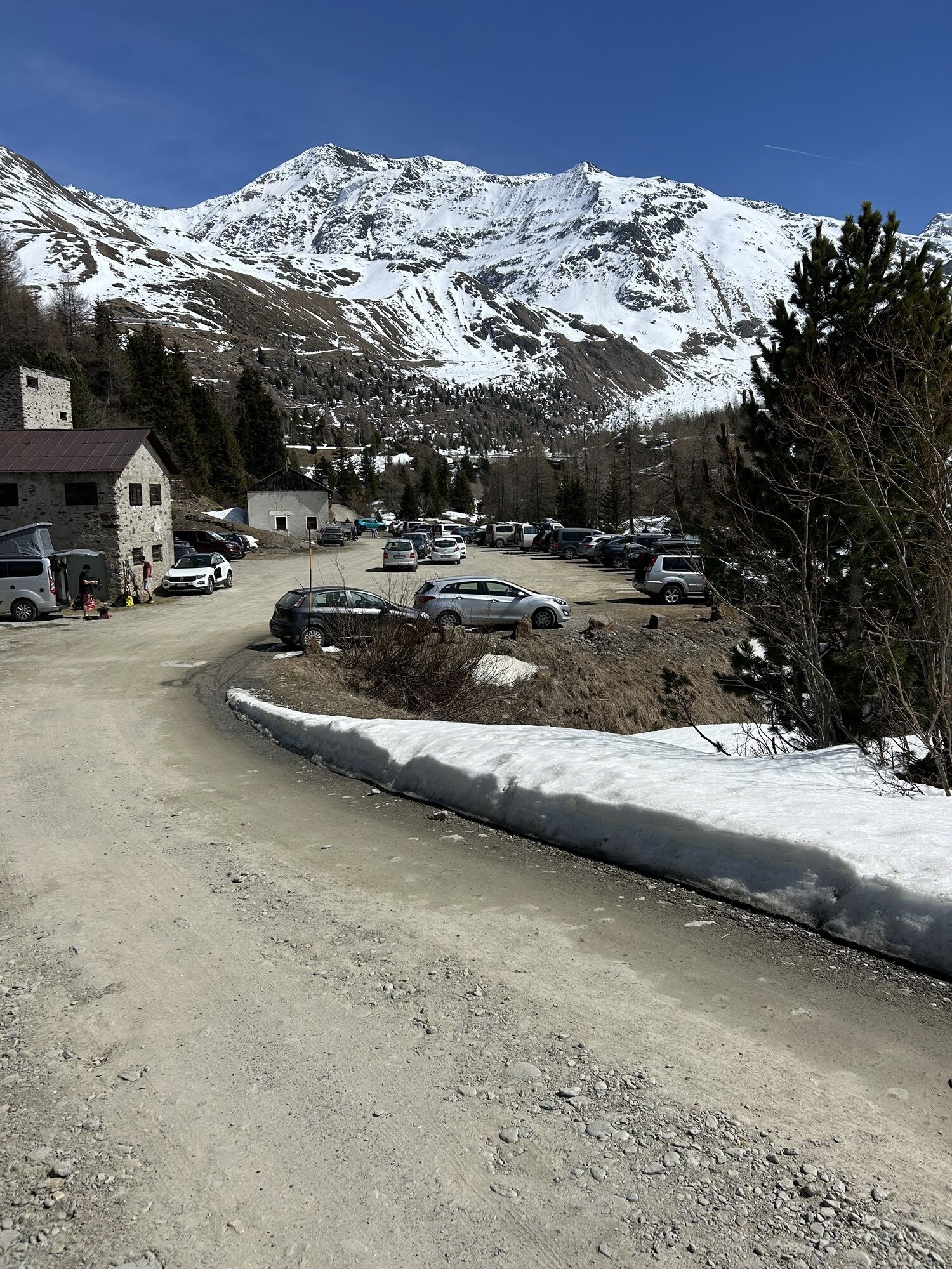
Ample parking spaces at the Forni.
The route description and trail are approximate and should be verified on site depending on the condition of the snowpack present during the hike.
Because this is a hike in a snowy mountain environment at high altitudes subject to continually changing snowpack conditions, it is advisable to have adequate experience in ski mountaineering, knowledge of the area, and up-to-date information on snow conditions.
Accompaniment with a professional guide is recommended.
Webové kamery z prehliadky

Obľúbené výlety v okolí
-
4,5
Martellerhütte Höhenweg
strednáVysoké turné 8,70 km -
5,0
Martell-Tal Rundweg zur Marteller Hütte
svetloTuristika 10,8 km -
4,9
Plimaschlucht
svetloHorská turistika 7,23 km -
3,9
Von Sulden zur Hinteren Schöntaufspitze
strednáTuristika 12,7 km -
3,7
Düsseldorfer Hütte 2721m
strednáTuristika 4,14 km -
3,7
Payerhütte 3020m
Turistika 6,98 km -
5,0
Wanderung/Aufstieg zur Payerhütte
svetloTuristika 15,9 km -
4,3
Obervinschgau - Madritschjoch, der höchste Transalp Übergang
Mountainbike 9,54 km -
5,0
Ortler über Meraner Weg (vom Tal/Trafoi)
ťažkéVysoké turné 11,9 km -
4,5
Ortler – Normalweg
ťažkéVysoké turné 7,30 km
Turistika a stopovanie


Nenechajte si ujsť ponuky a inšpiráciu na ďalšiu dovolenku
Vaša e-mailová adresa bol pridaný do poštového zoznamu.





