







Pre 10km LimoneXtreme

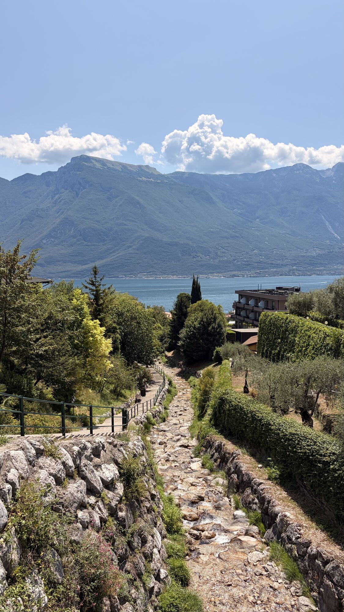



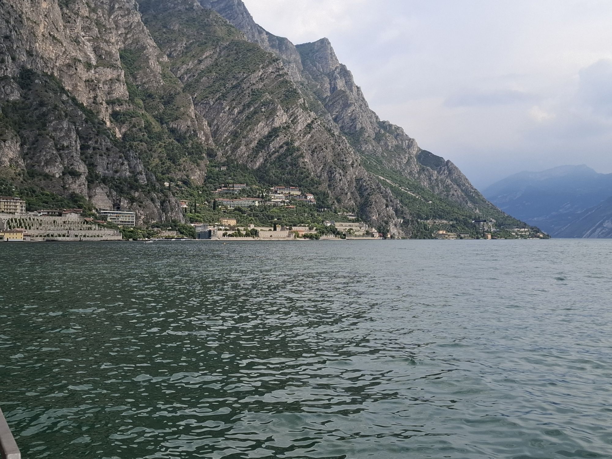
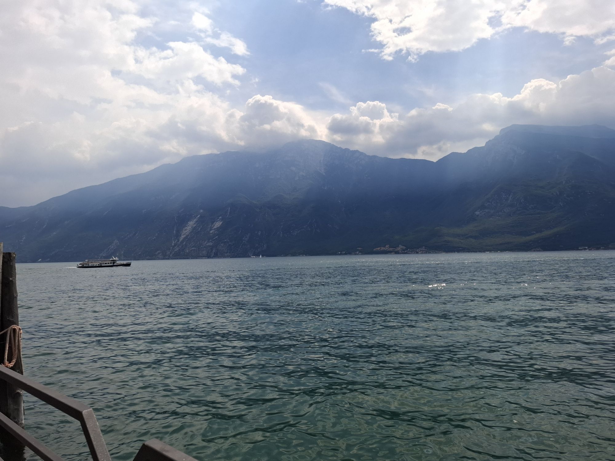
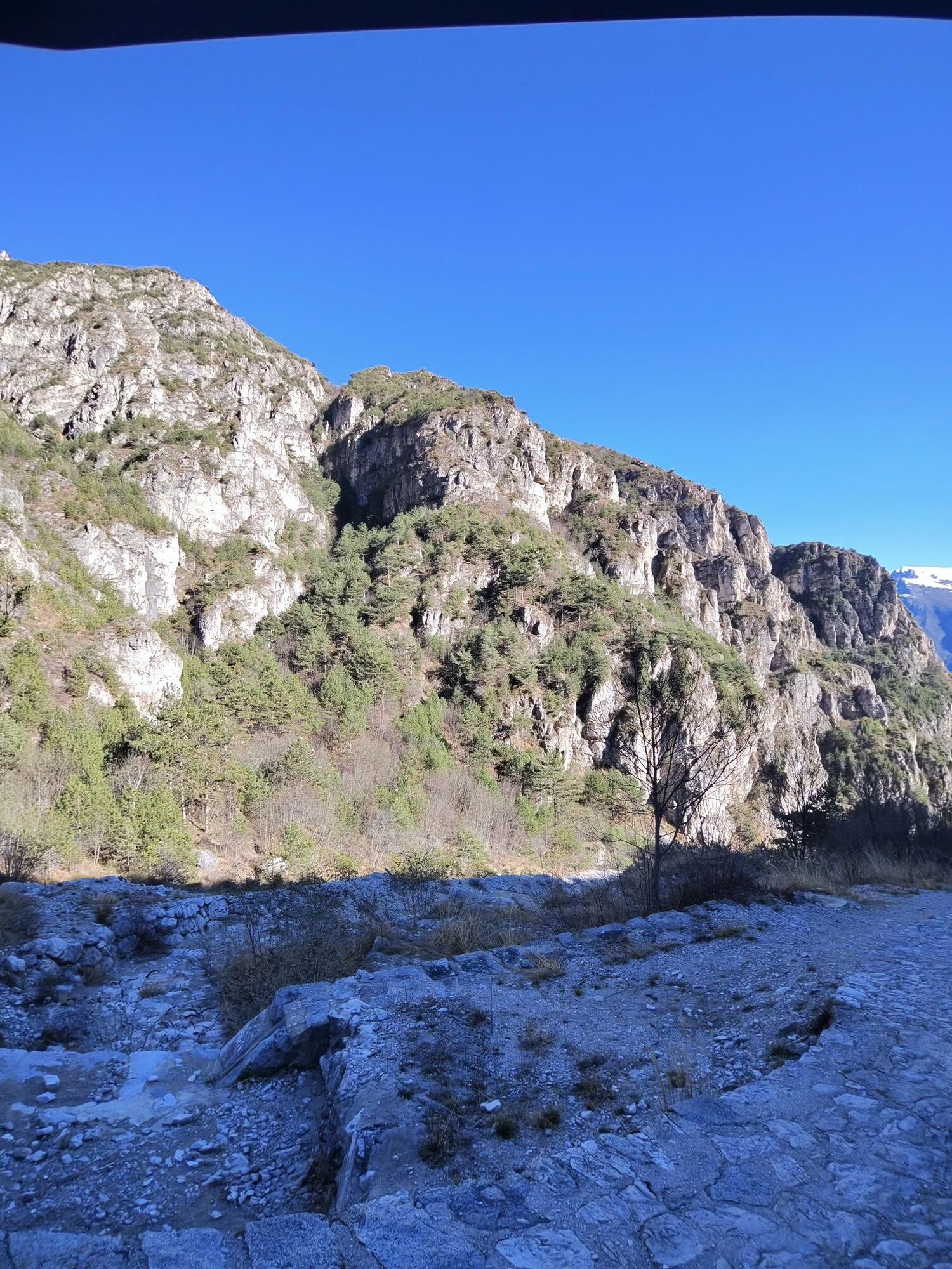
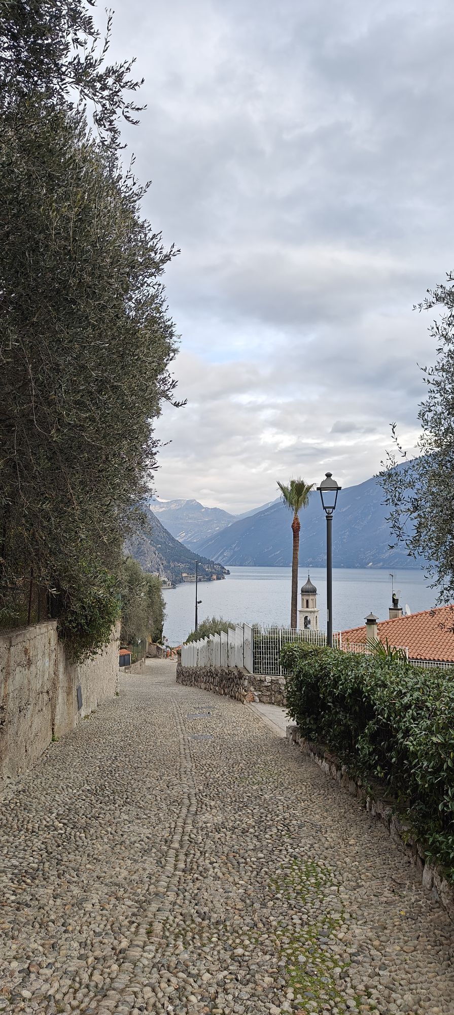
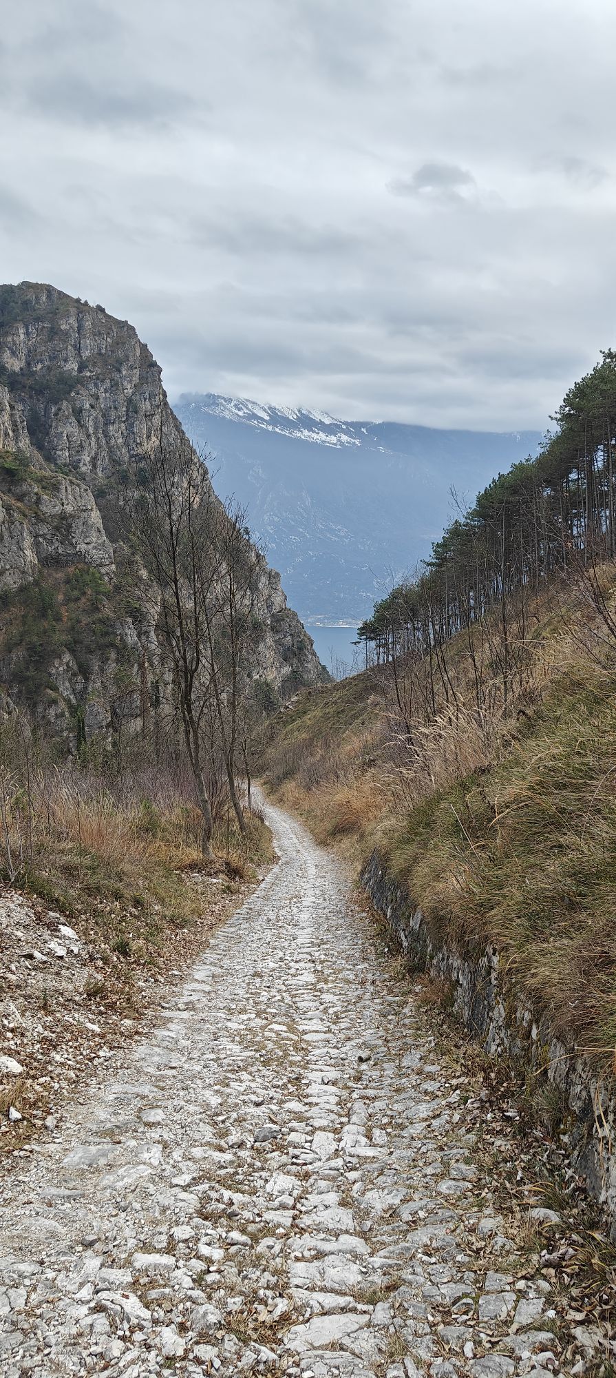
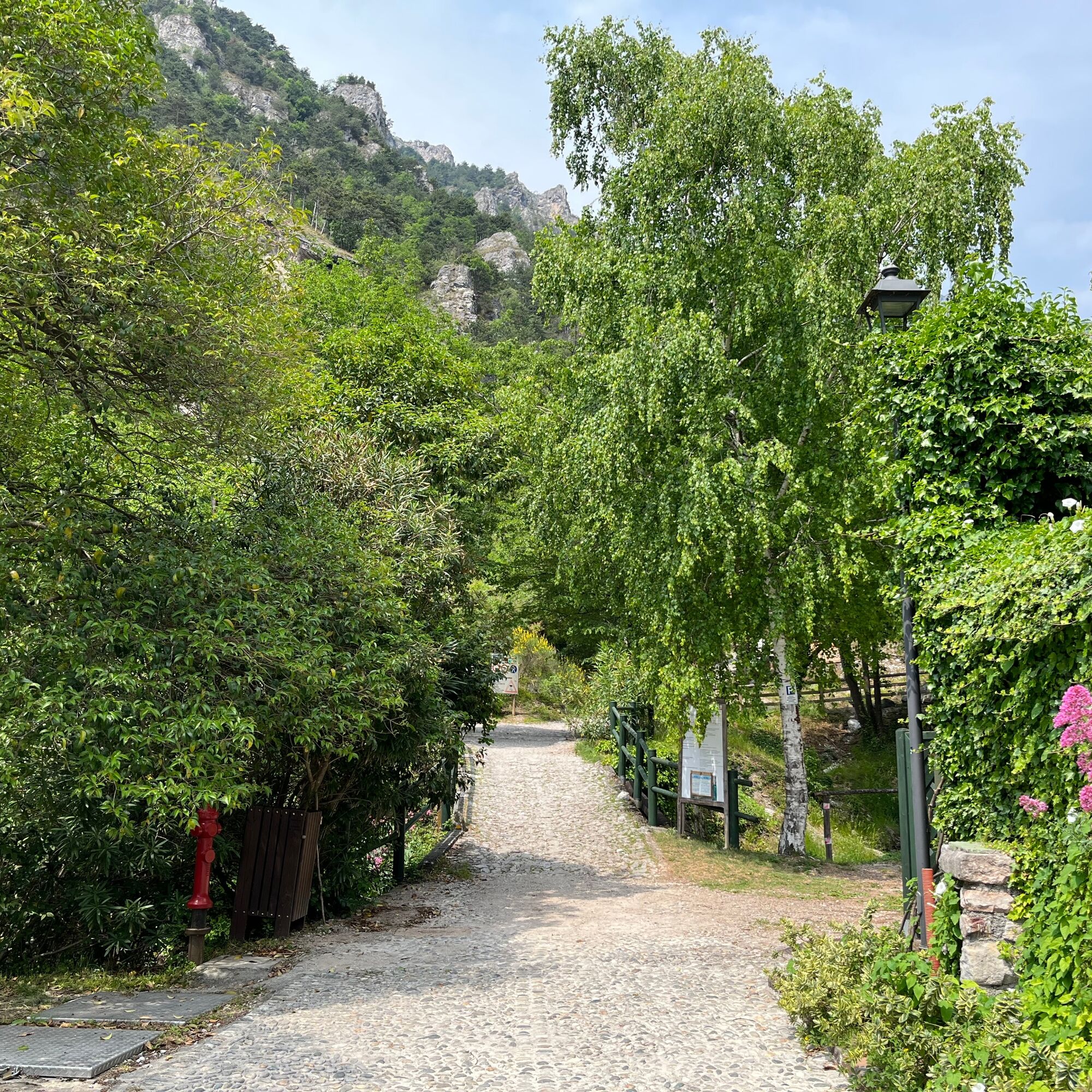
The 10 km LimonExtreme trail hike starts directly from the Limone sul Garda beach.
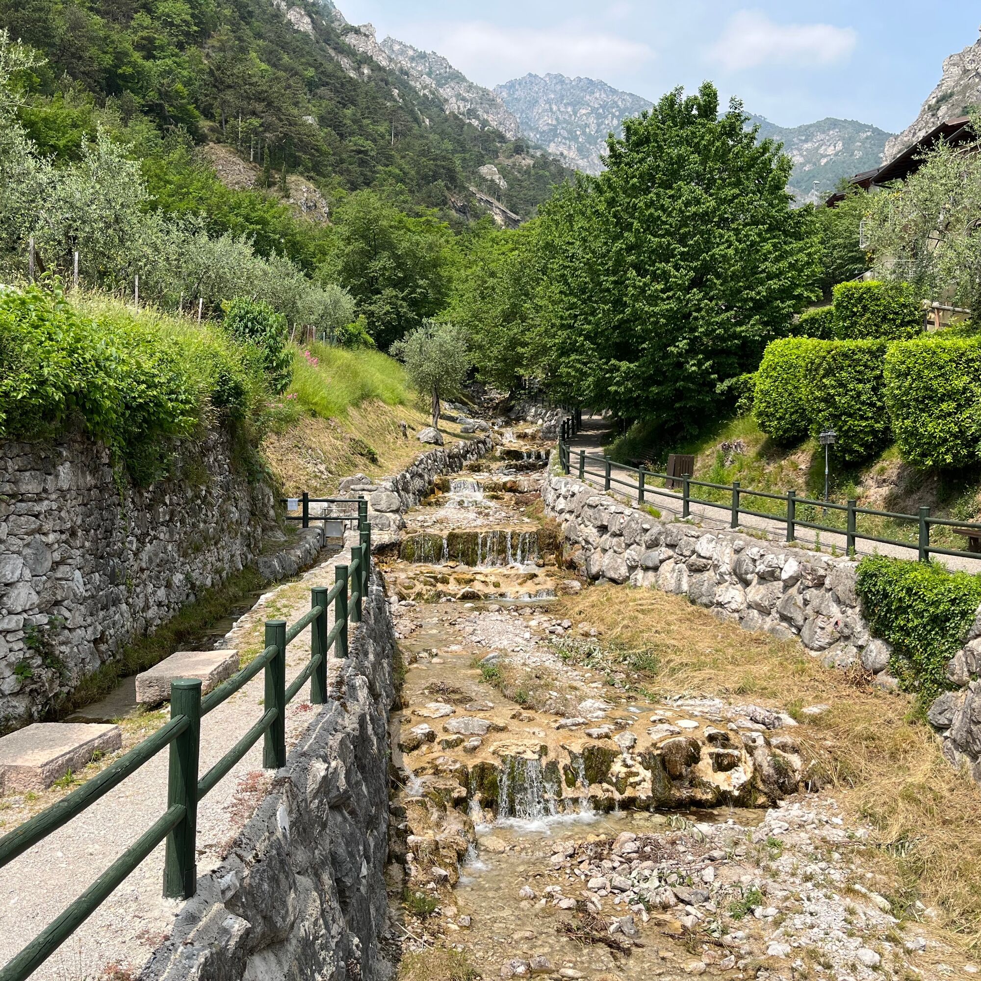
From here, you follow the path that runs alongside the San Giovanni stream, passing the Nepomuceno capital and continuing...
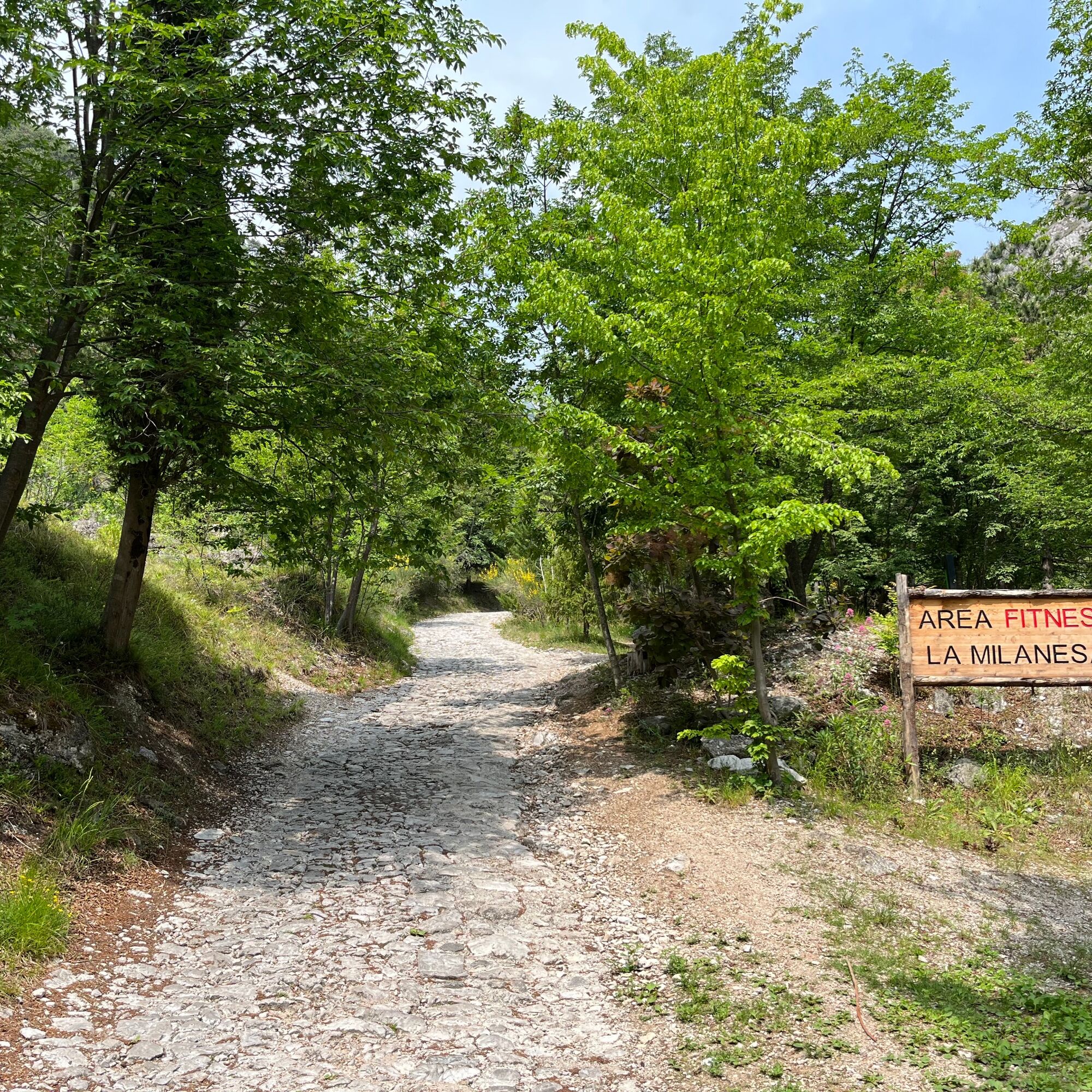
From here, you follow the path that runs alongside the San Giovanni stream, passing the Nepomuceno capital and continuing uphill among small waterfalls and pools of water until you reach La Milanesa (200 metres).
Cross the small bridge on the left, and you arrive at a point where several trails branch off and where there is also a fitness area for the more athletic hikers.
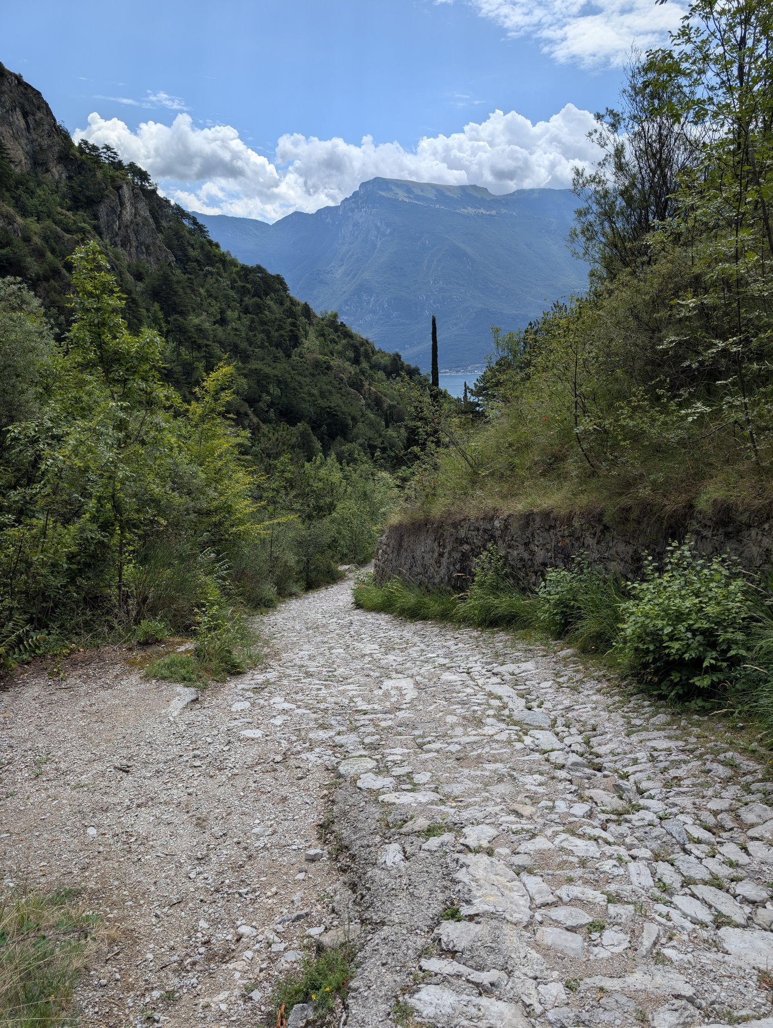
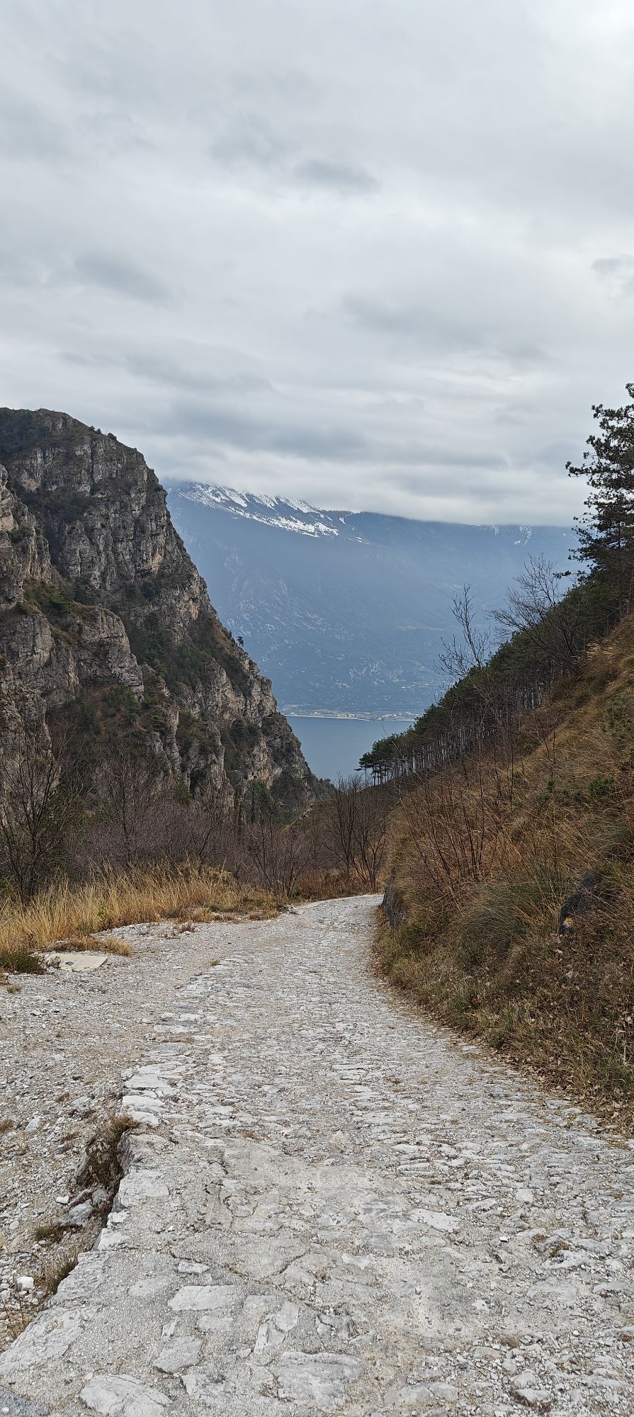
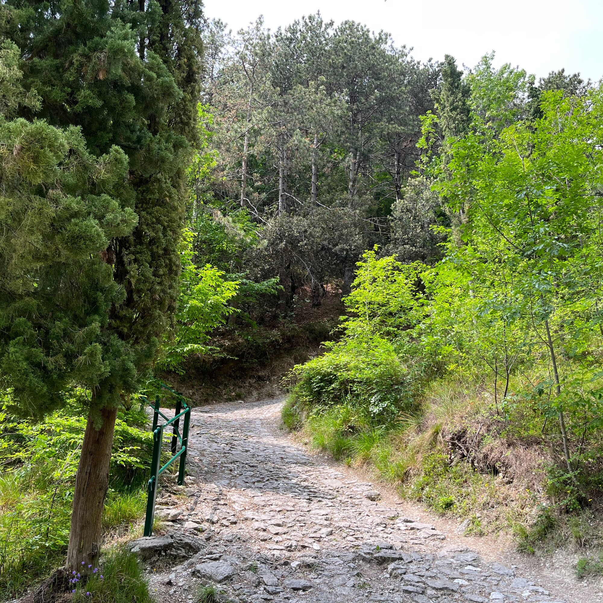
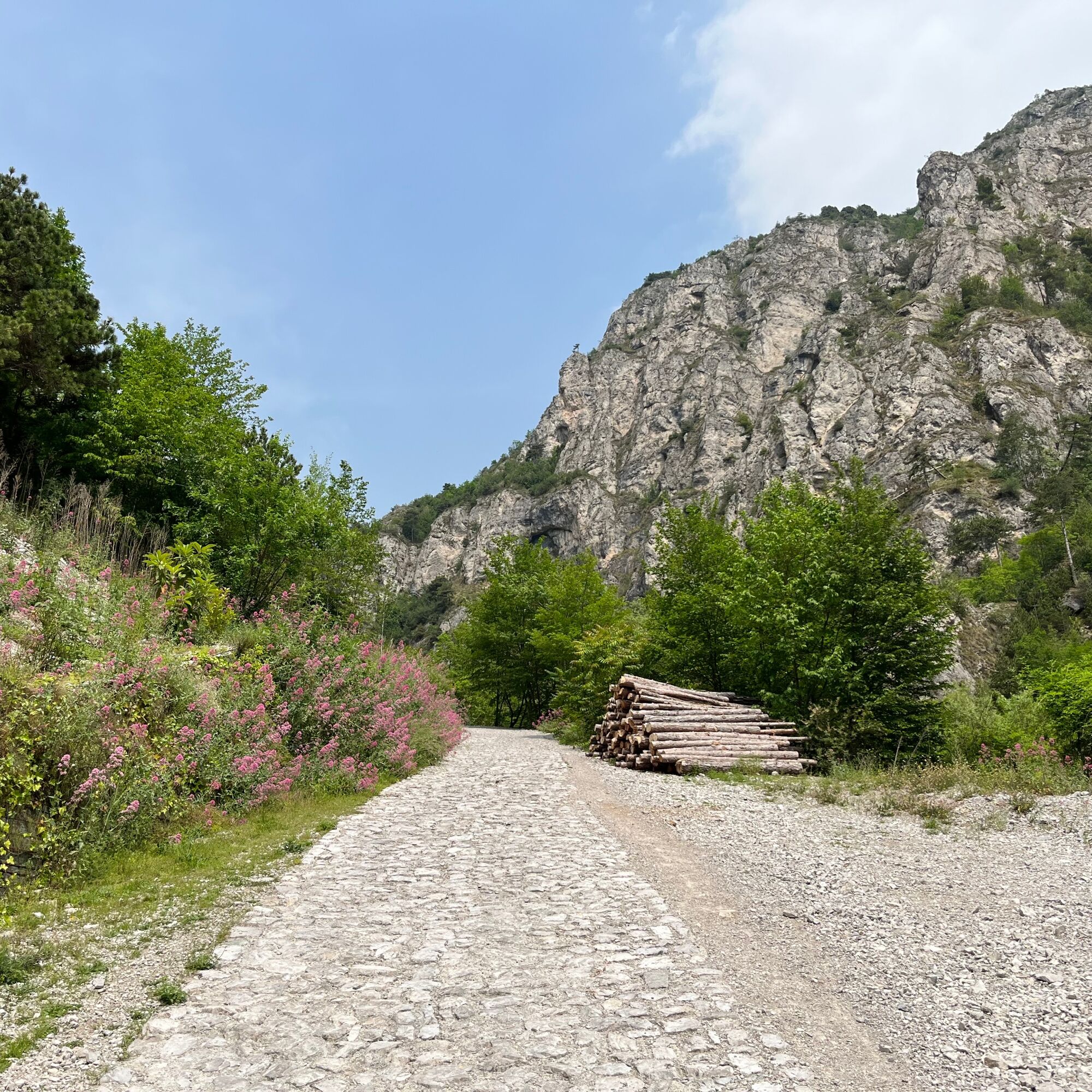
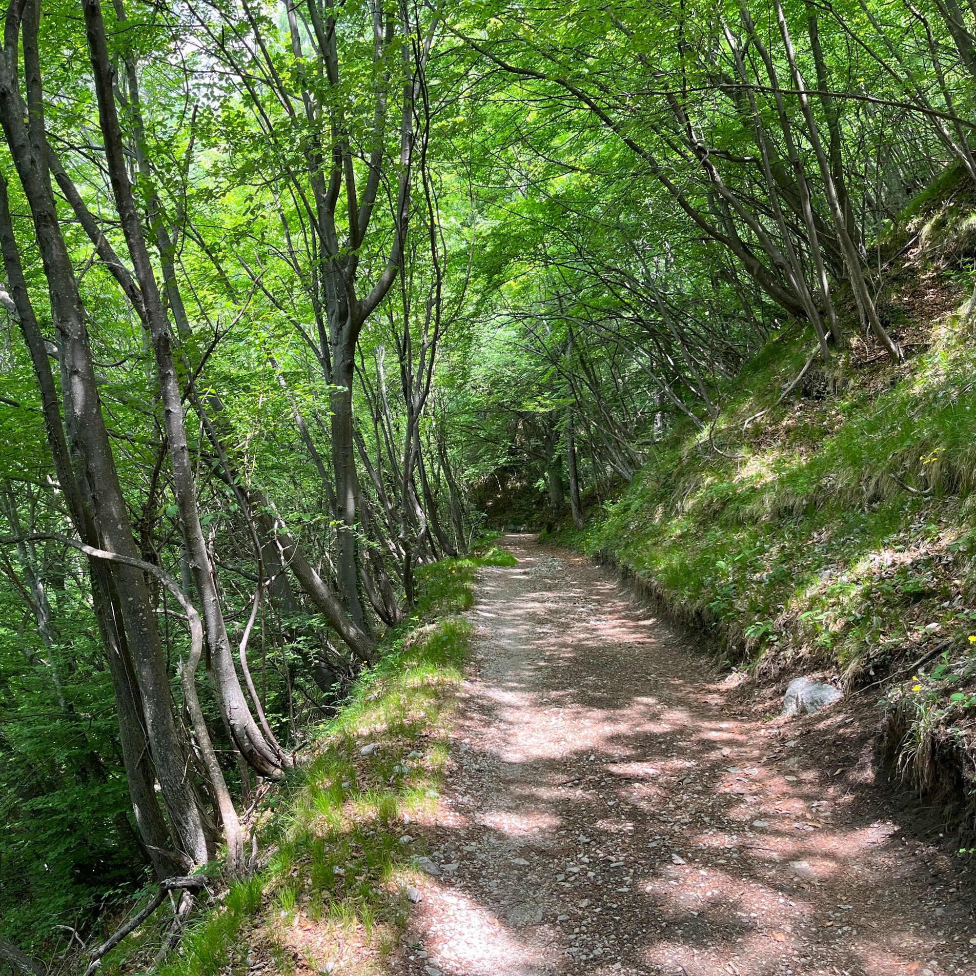
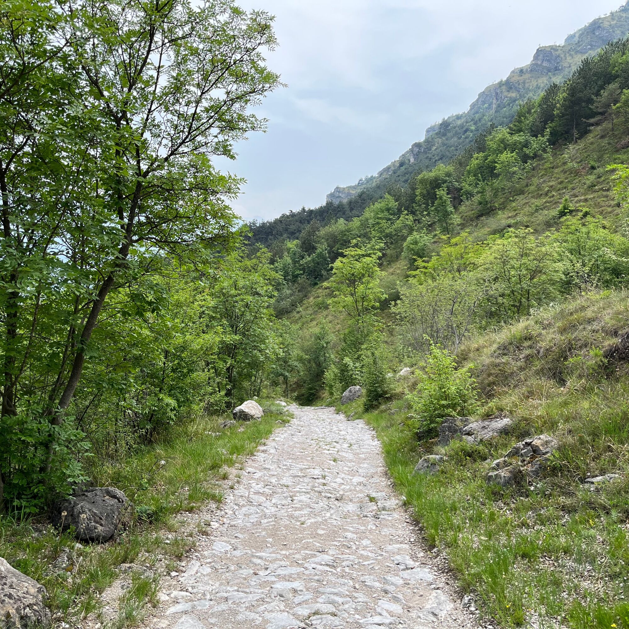
Now follow trail number 101 on the right, also known as the Antonioli trail, and begin to climb a steep dirt road that penetrates more and more into the valley.
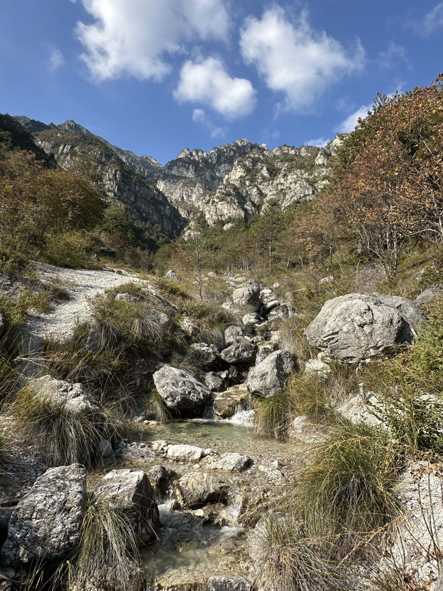
After a few minutes, you pass by a picturesque waterfall on the left, then you pass a series of hairpin bends and quickly gain altitude.
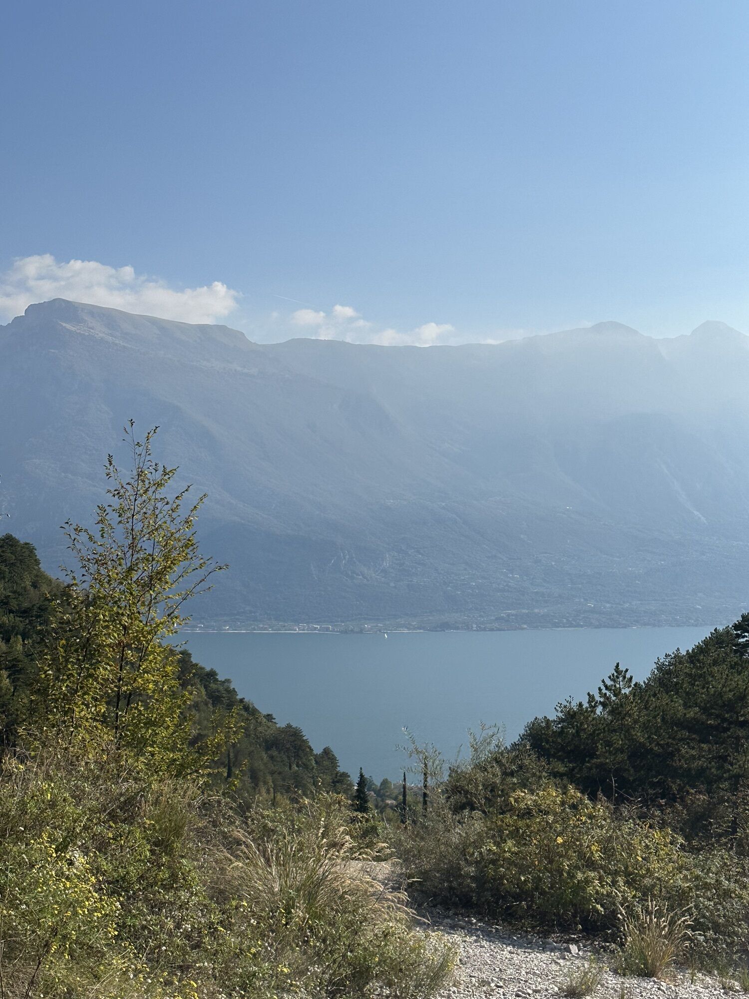
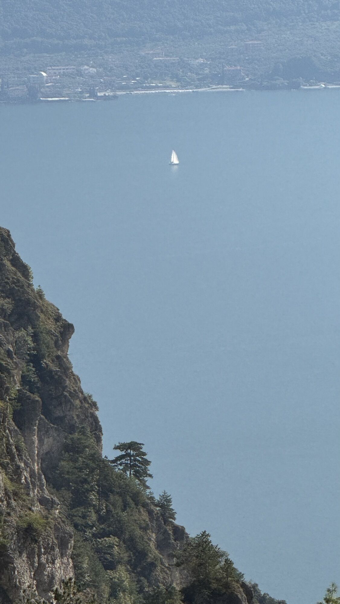
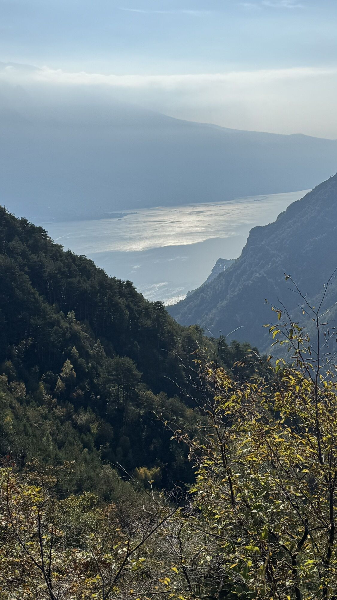
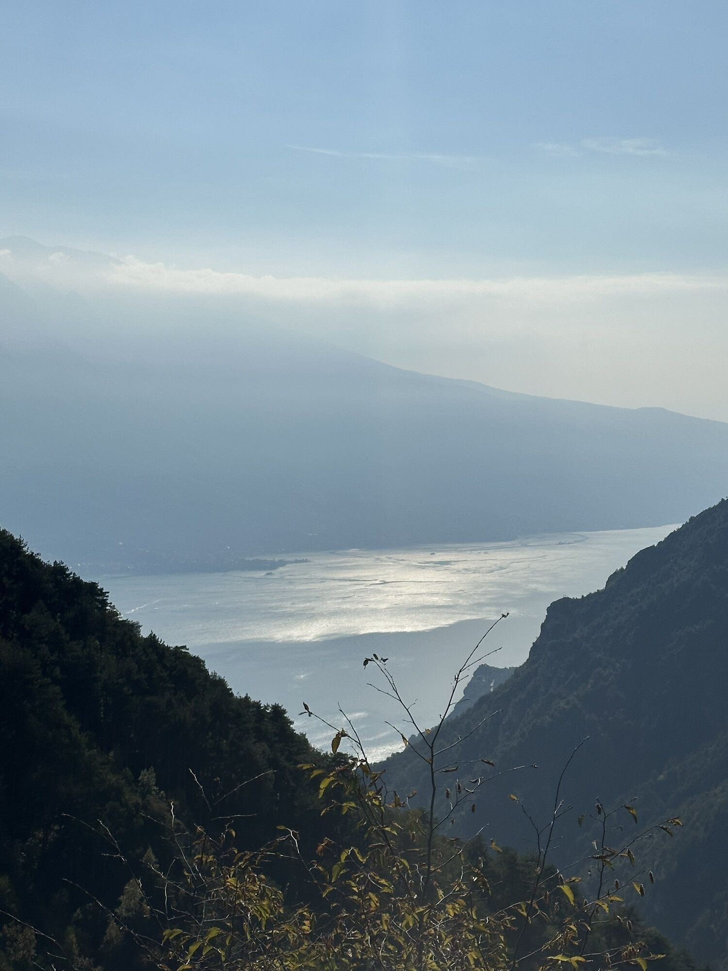
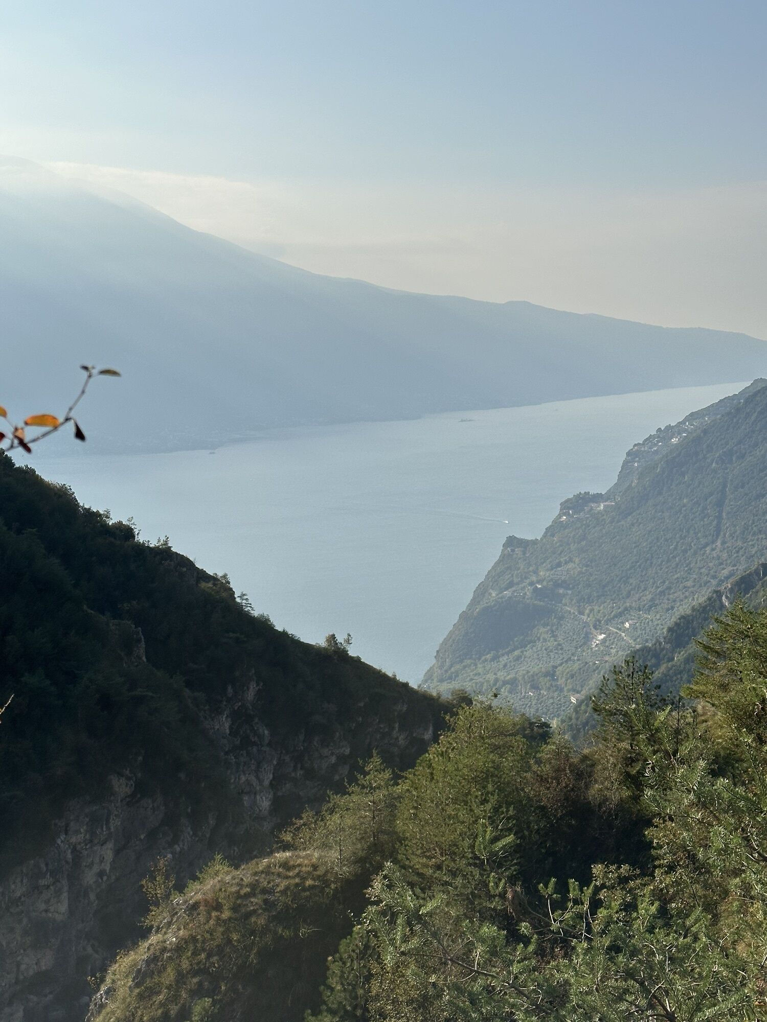
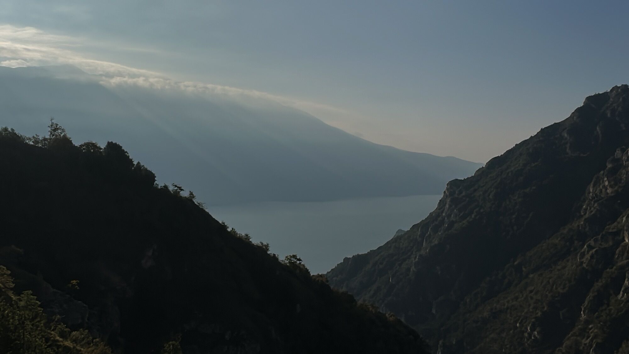
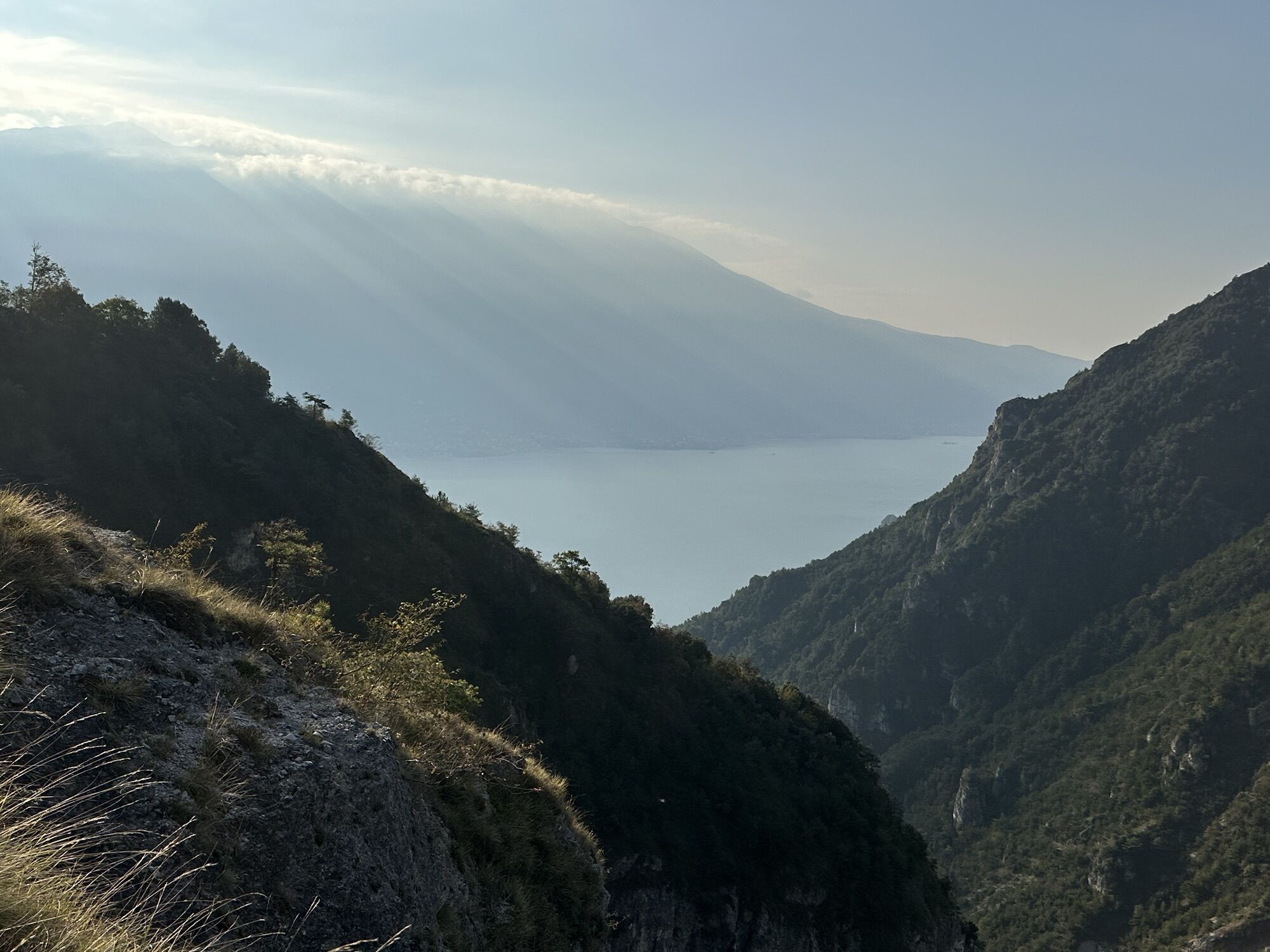
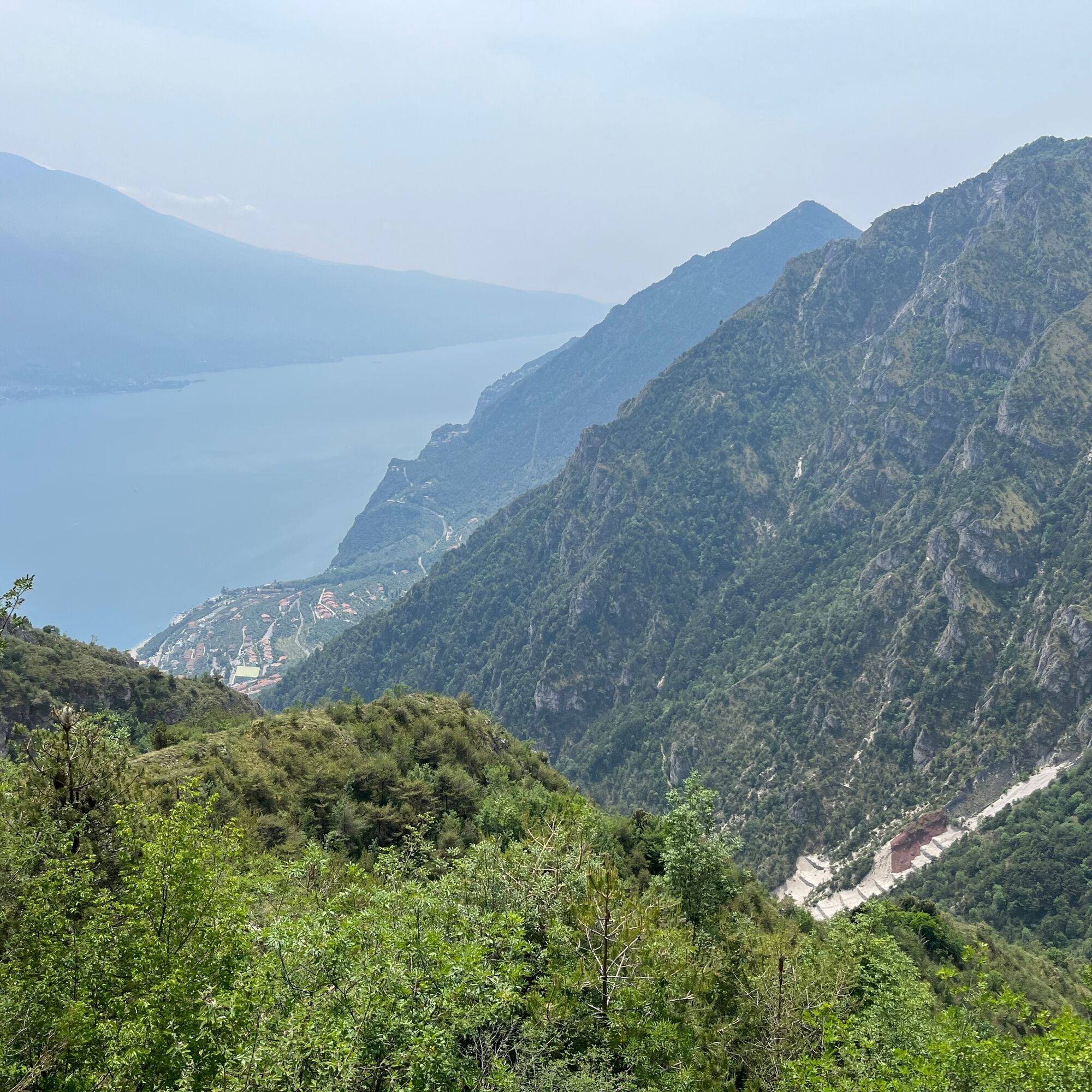
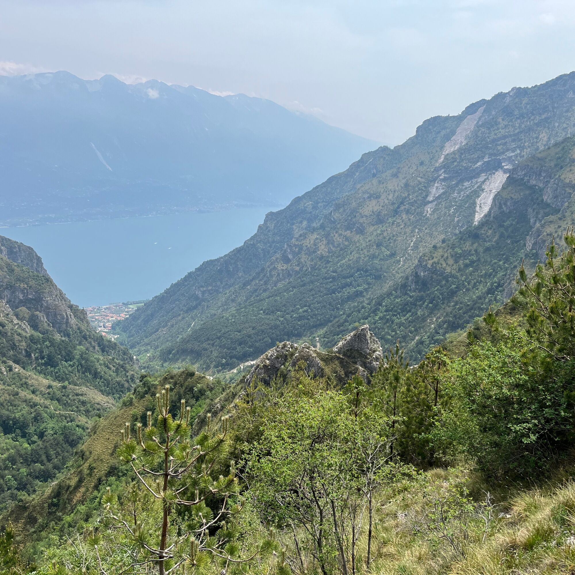
Behind us is a beautiful view of Lake Garda in the distance.
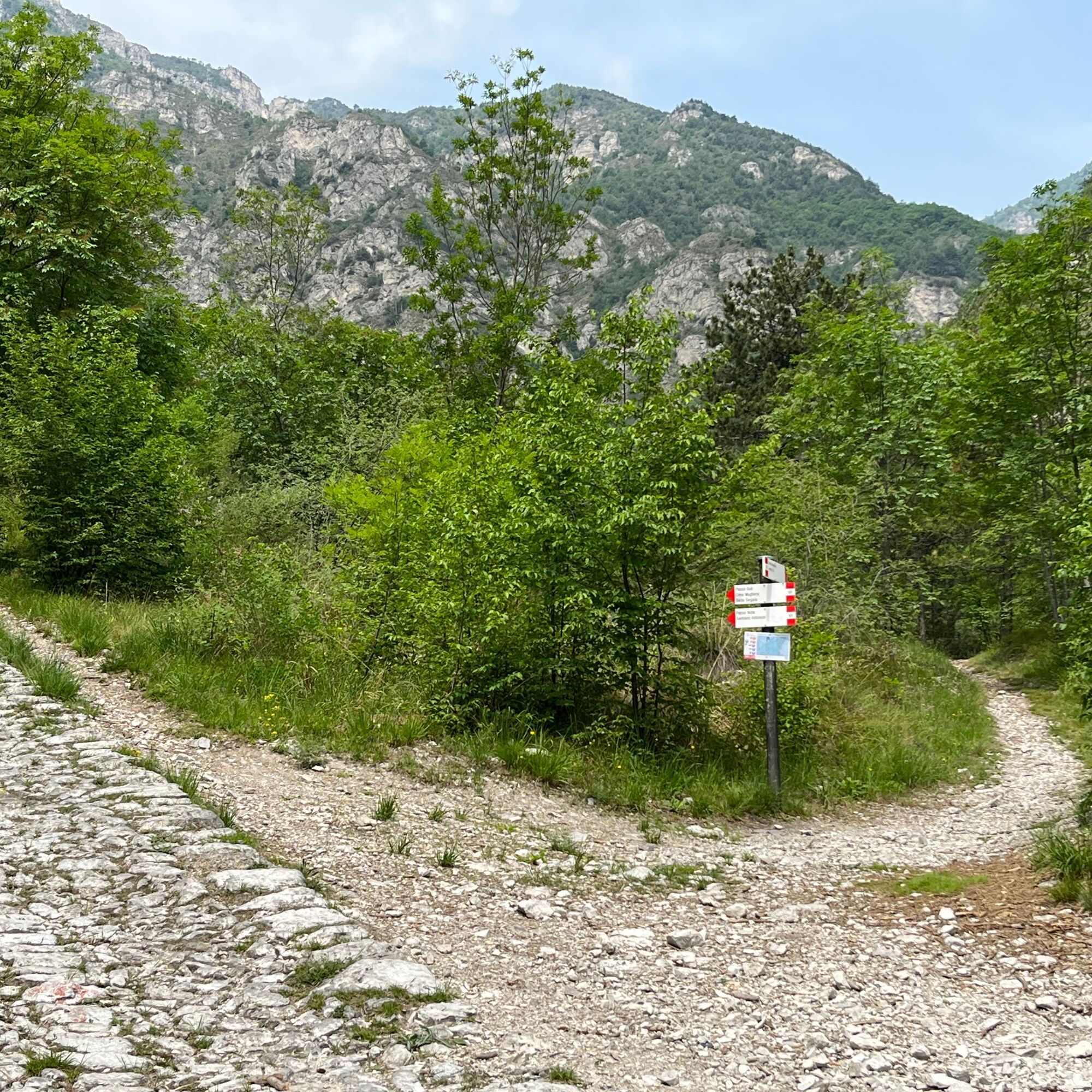
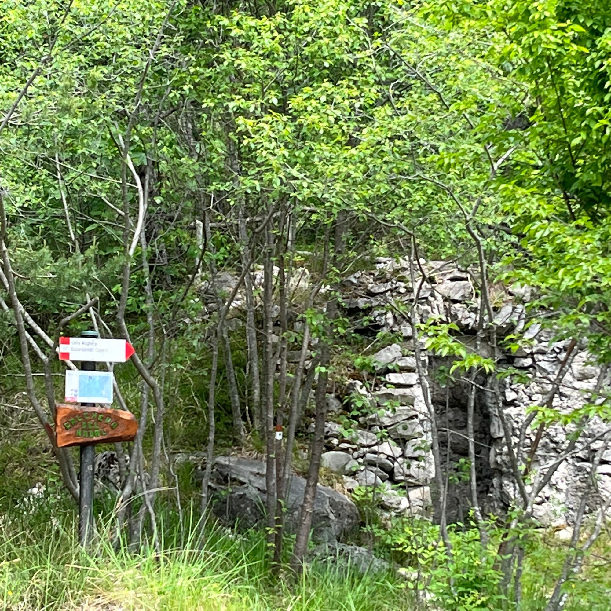
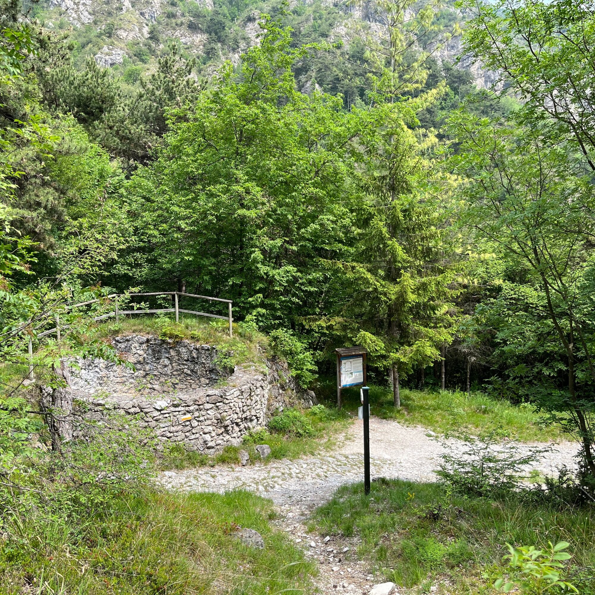
About 800 meters from the La Milanesa area, you reach a crossroads where, near the bed of the stream, there is a sign that invites you to turn right on trail 137 Cima Mughera Creste E. E. (expert hikers).
Here we can also see the sign for the various Limone trails, including the LimonExtreme.
Leave the dirt road (we will retake it later) and turn right, passing the stream's bed.
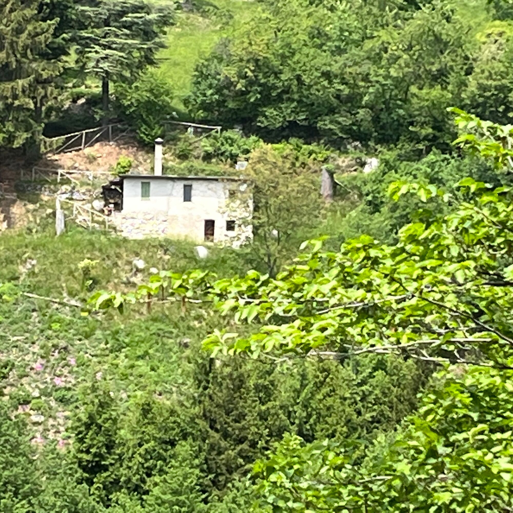
Now start to climb up the right side of the valley and pass by a furnace surrounded by vegetation.
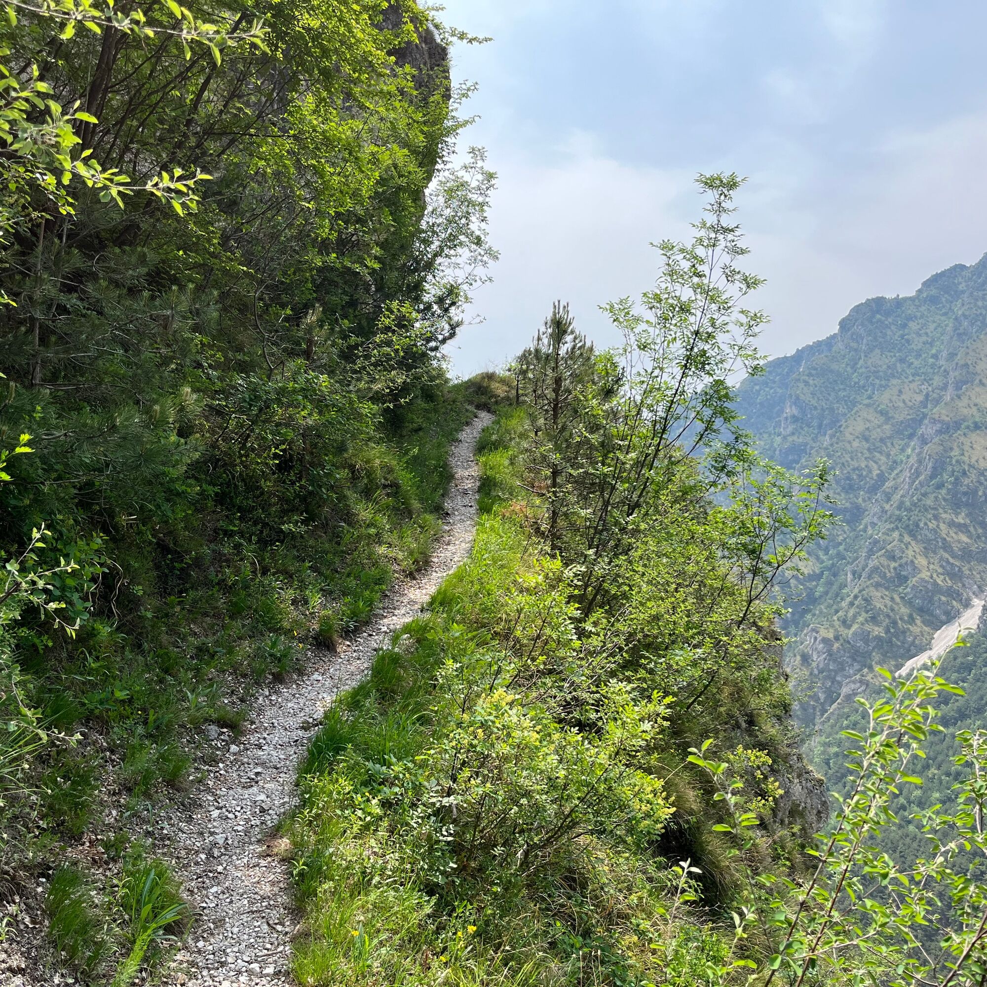
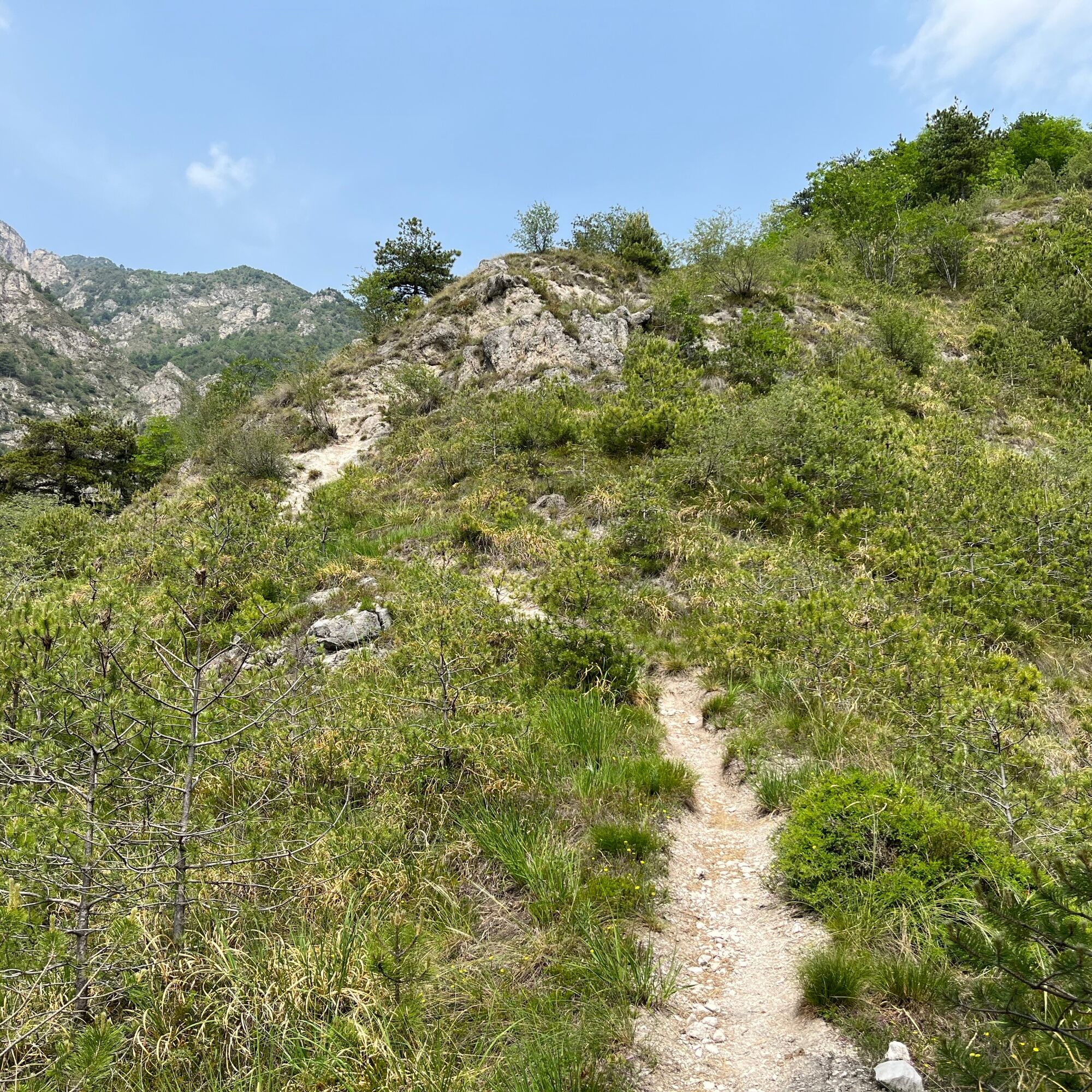
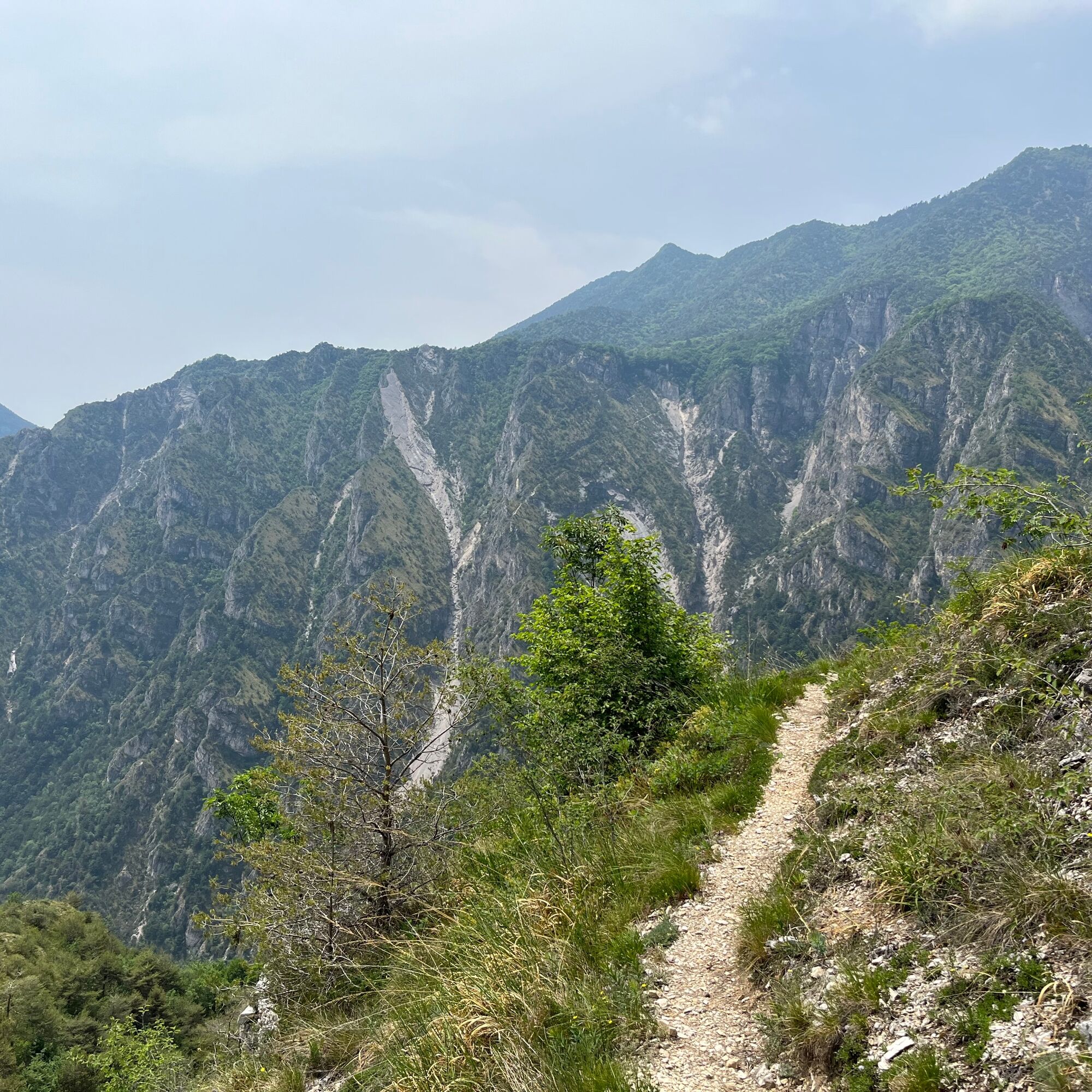
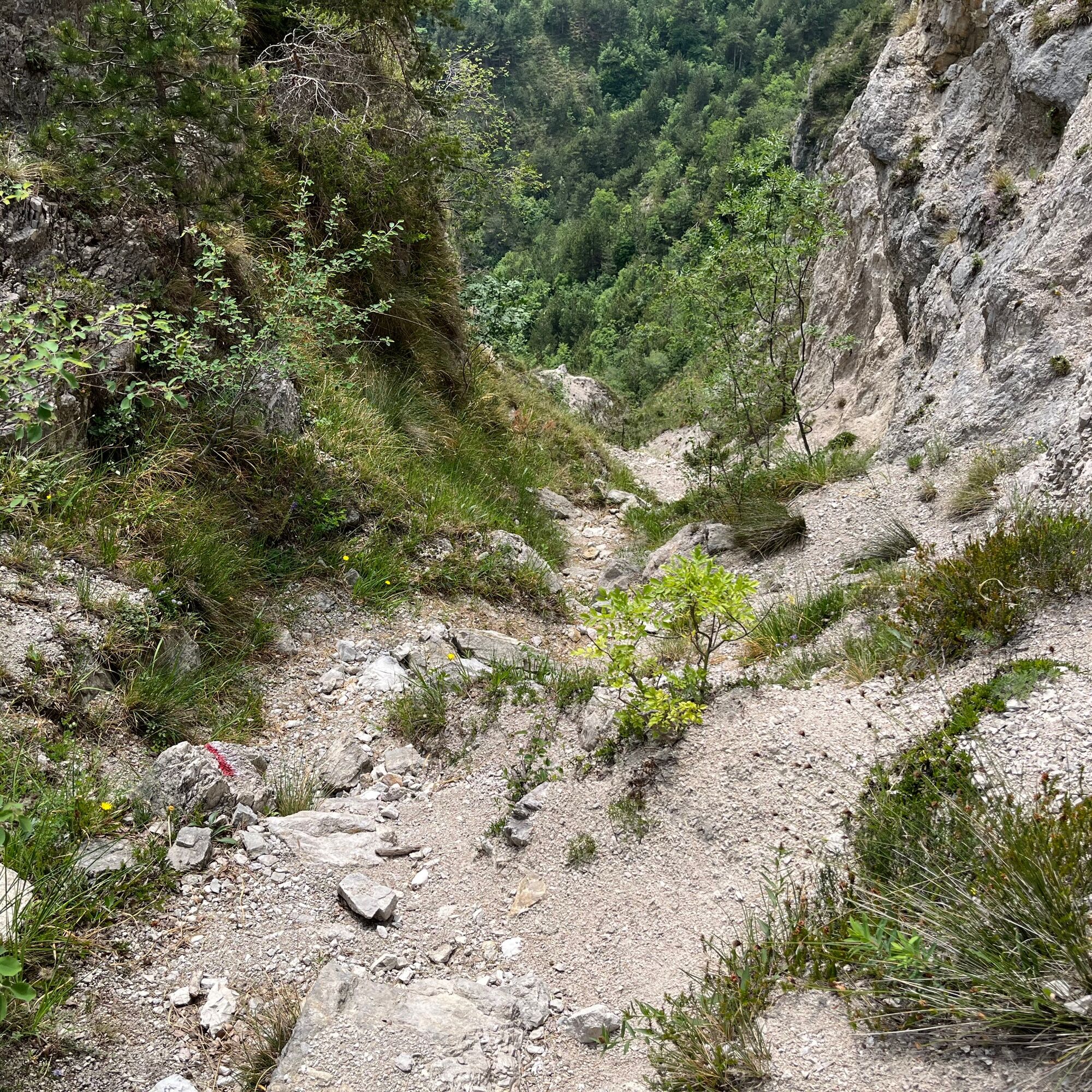
The trail becomes narrower and steeper, leaves the vegetation, and begins to climb on rocks, exposed stretches, and ridges, to be taken with particular care.
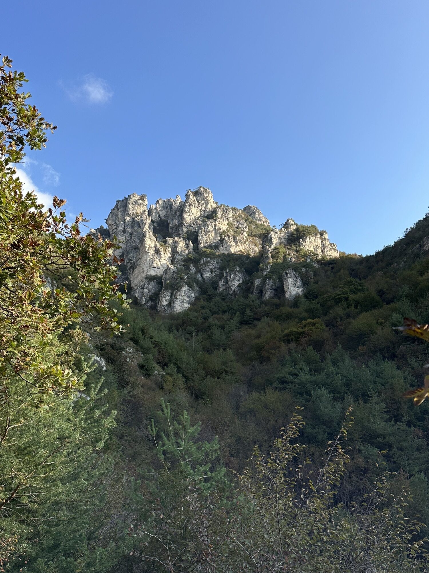
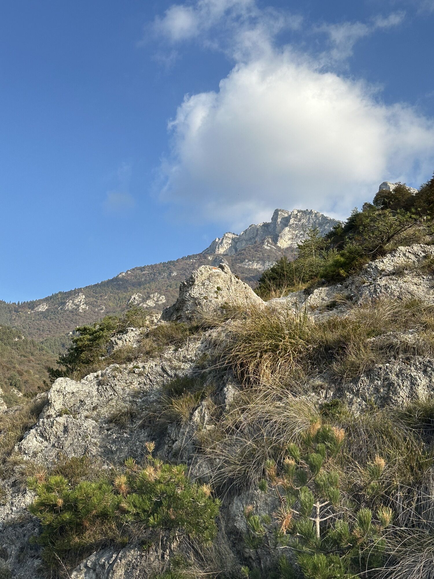
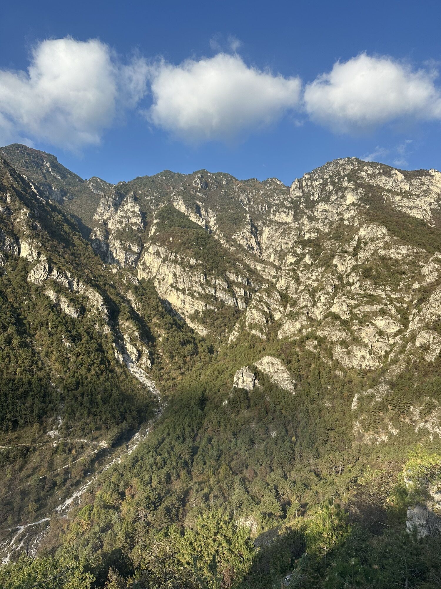
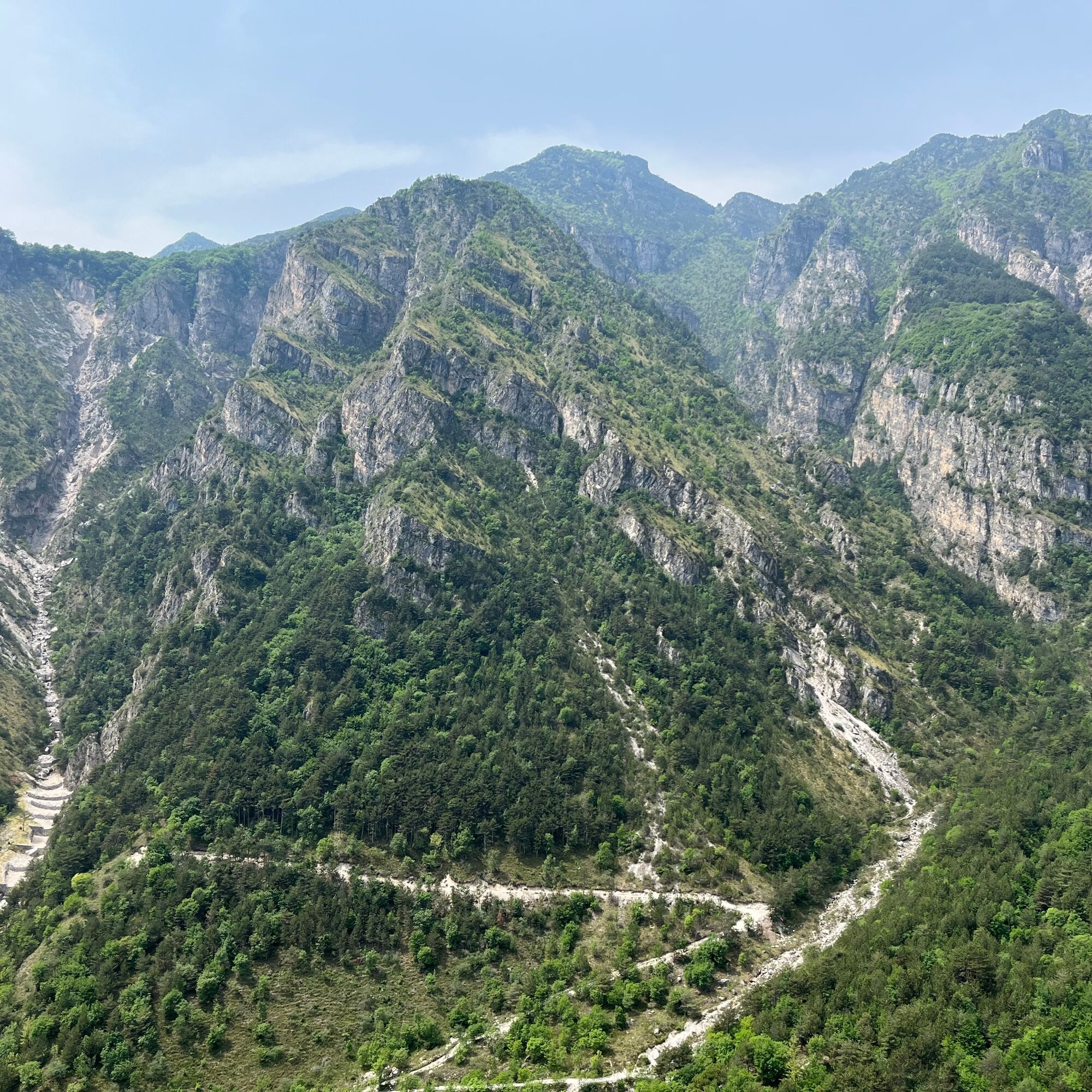
The panorama that opens up in this stretch embraces the peaks of the Singol Valley, a wild and unique environment in all of Lake Garda.
Continue steeply uphill until you reach a major trail crossroads.
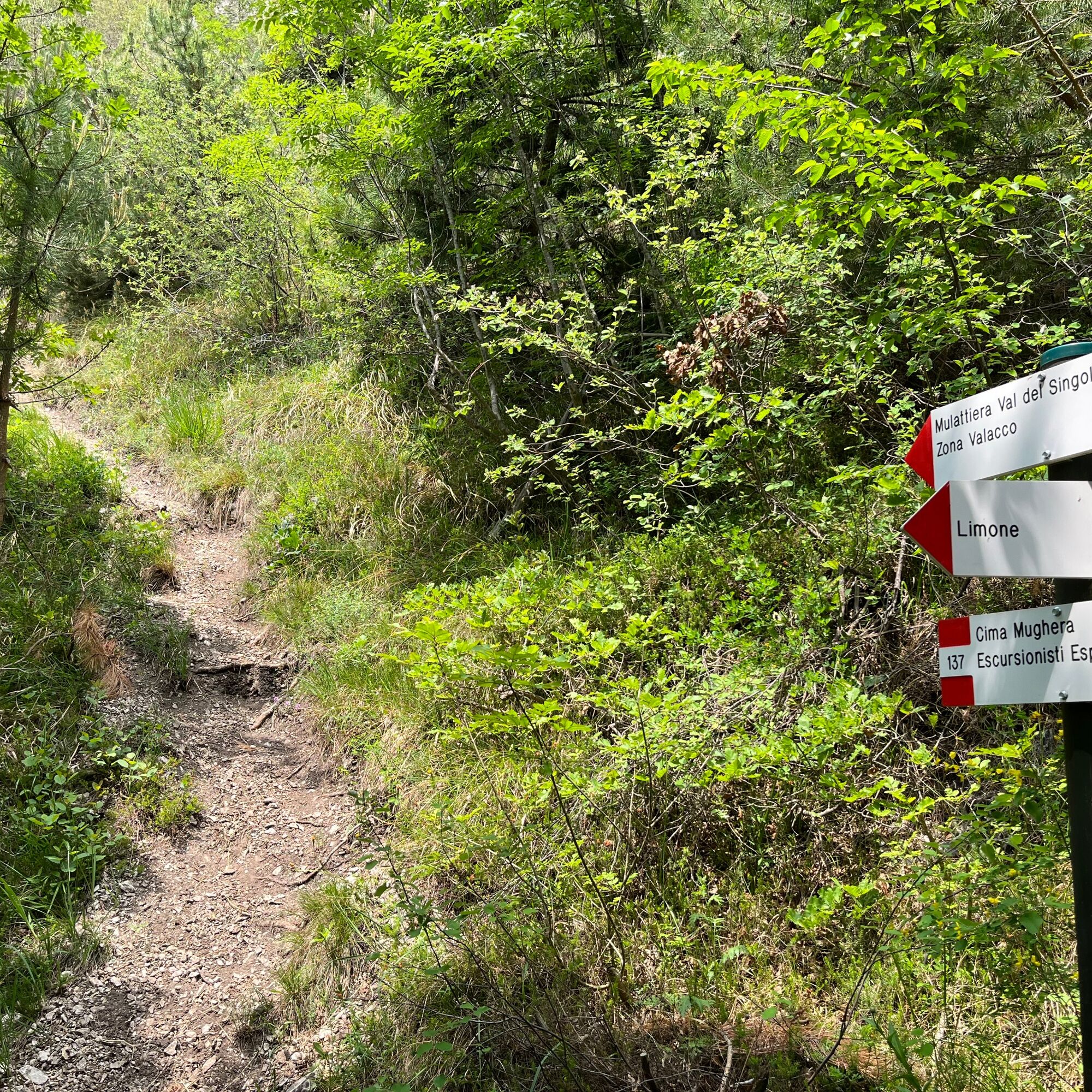
Remain on 137 to Cima Mughera and climb up 23% slopes surrounded by the peaks of Val del Singol.
Pass a section with a metal rope and return to the woods until you reach another crossroads.
Now it is time to leave trail 137 and turn left, taking number 137C for the Mulattiera Val del Singol.
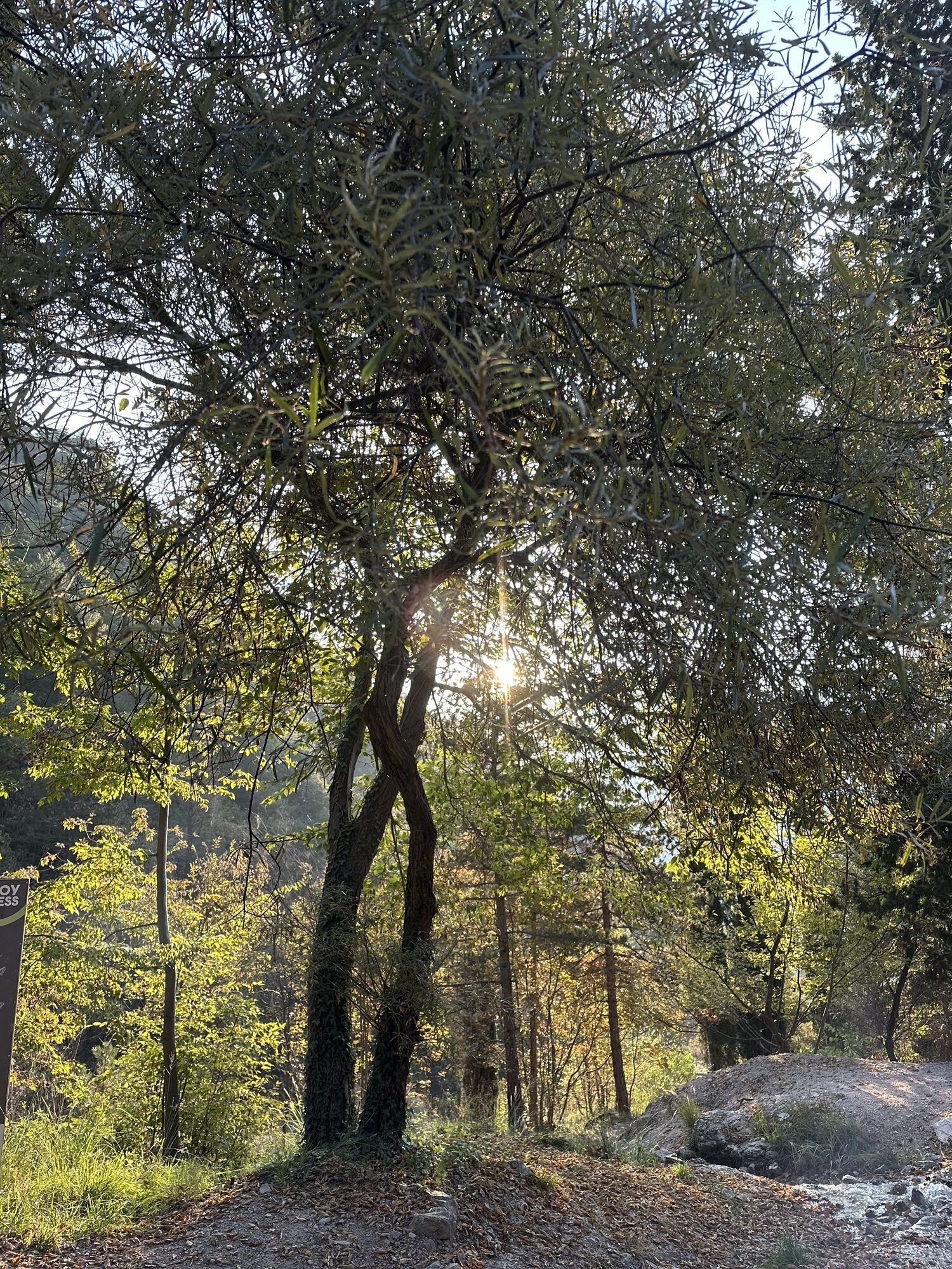
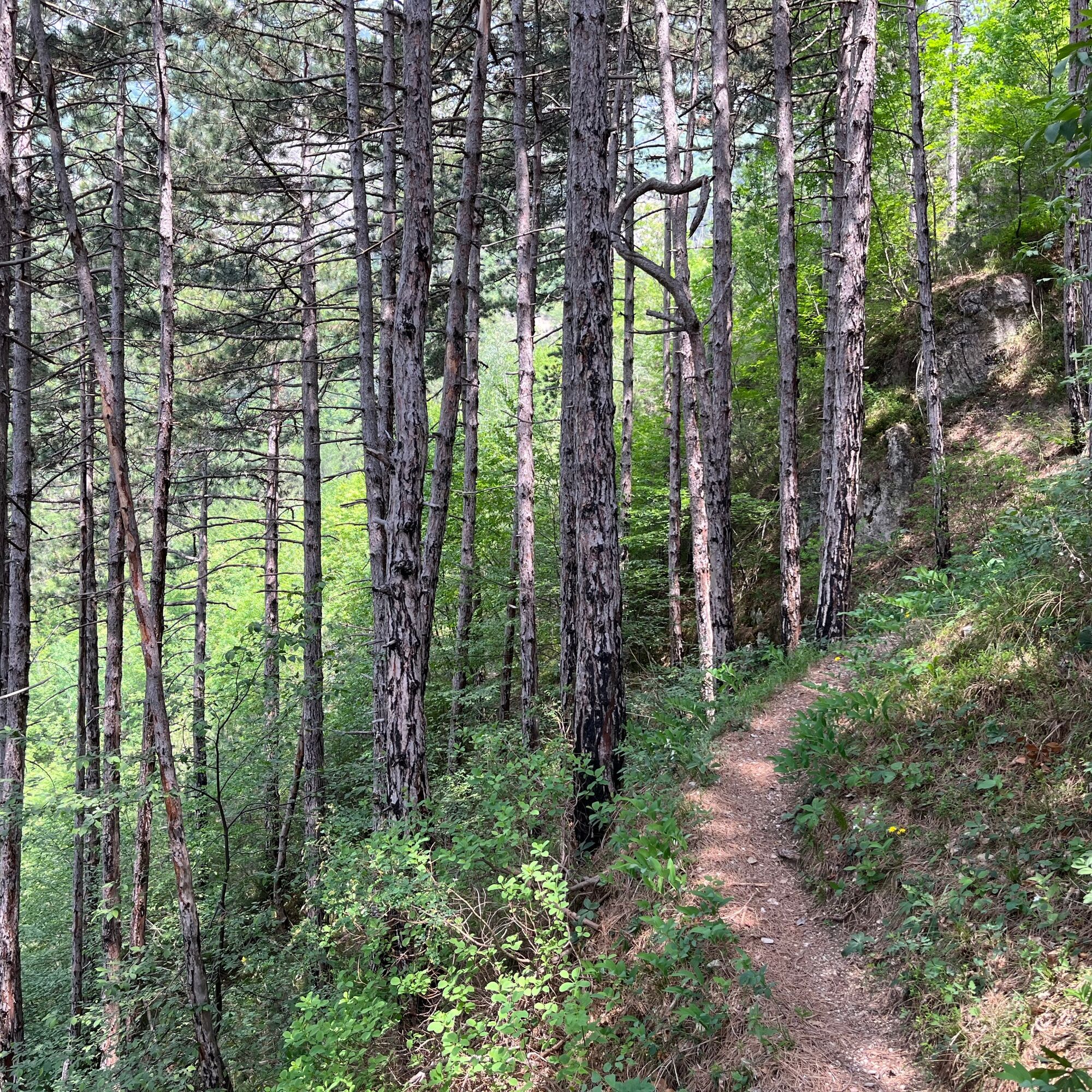
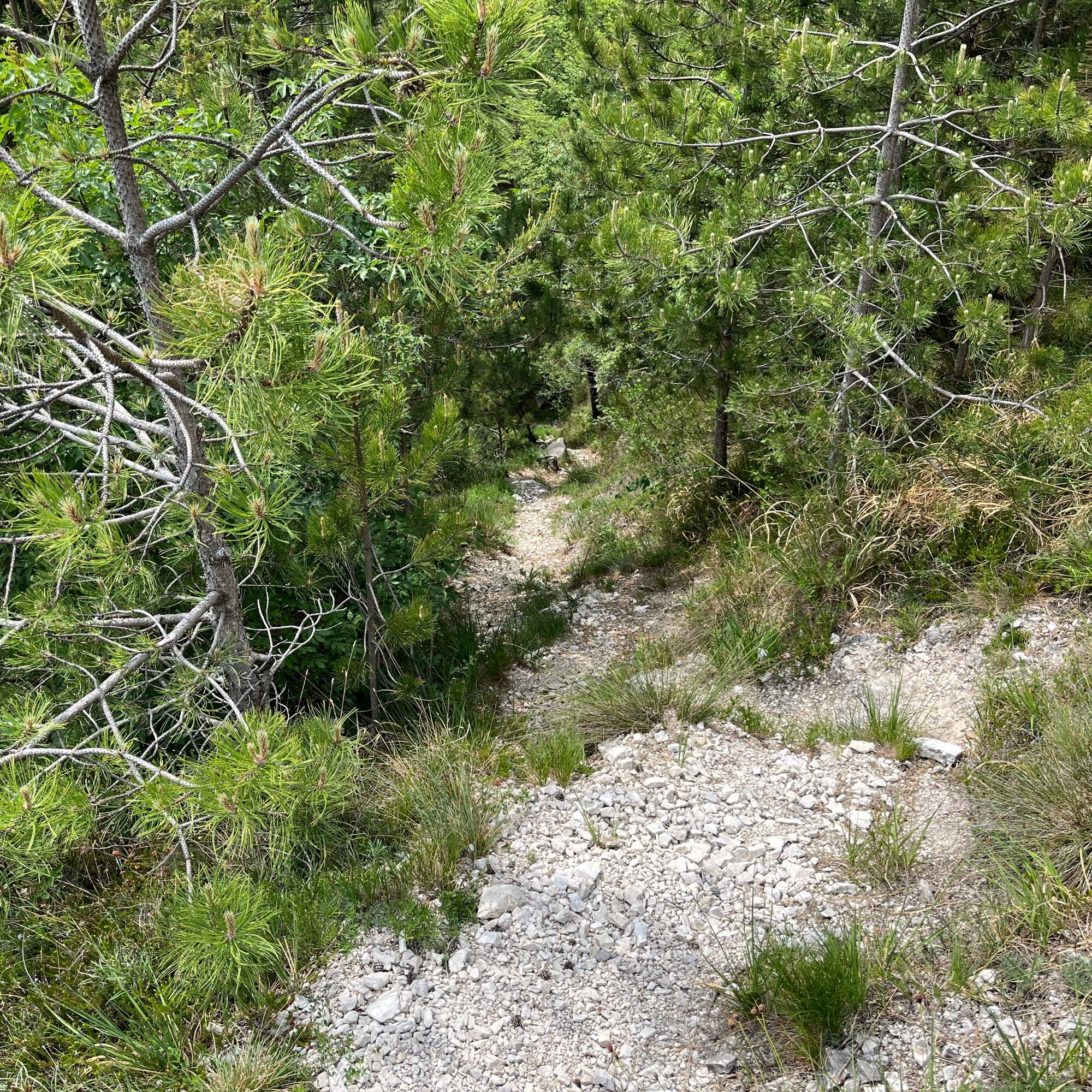
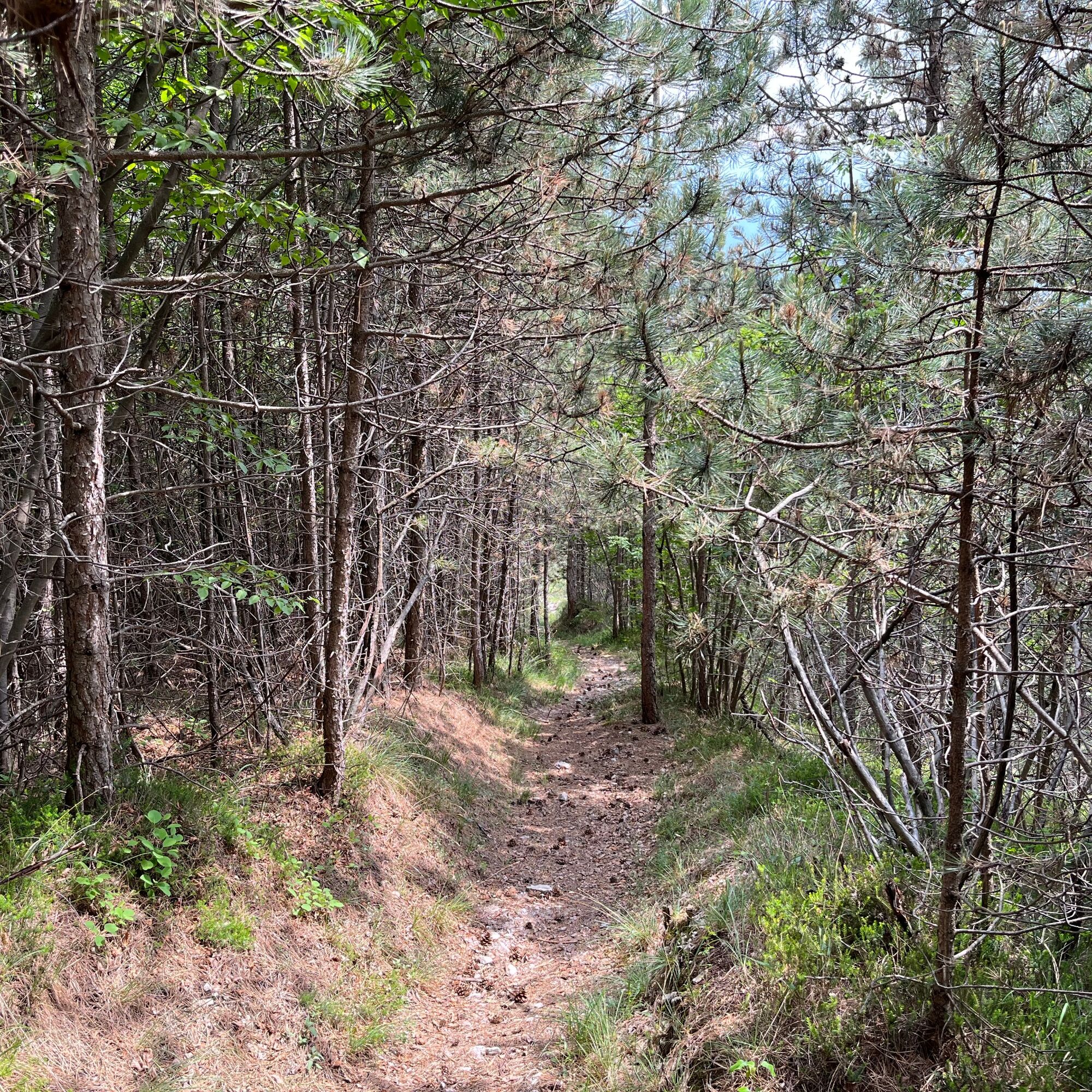
Continuing slightly uphill, you pass a stretch that offers views of Lake Garda in the distance. Then you enter a shady wooded area full of pine trees, a completely different vegetation from the one you've just been through.
The trail reaches further on the Mulattiera Val del Singol. Continue to follow it uphill until you reach the Malga Valaco.
Now begins the descent to Limone!
Immediately after the Malga, take trail 125B Pala dei Salcc on the left, which descends quickly into the woods, crosses the stream, and runs alongside it in the shade for a short stretch.
Then follow trail 126 Limone Diretto, leaving the woods behind you and reaching an area of rock and boulders that heads downhill and must be taken with caution (some sections have metal ropes to facilitate moving forward).
The trail re-enters the wood and ends at the Mulattiera Val del Singol, where you can see another furnace.
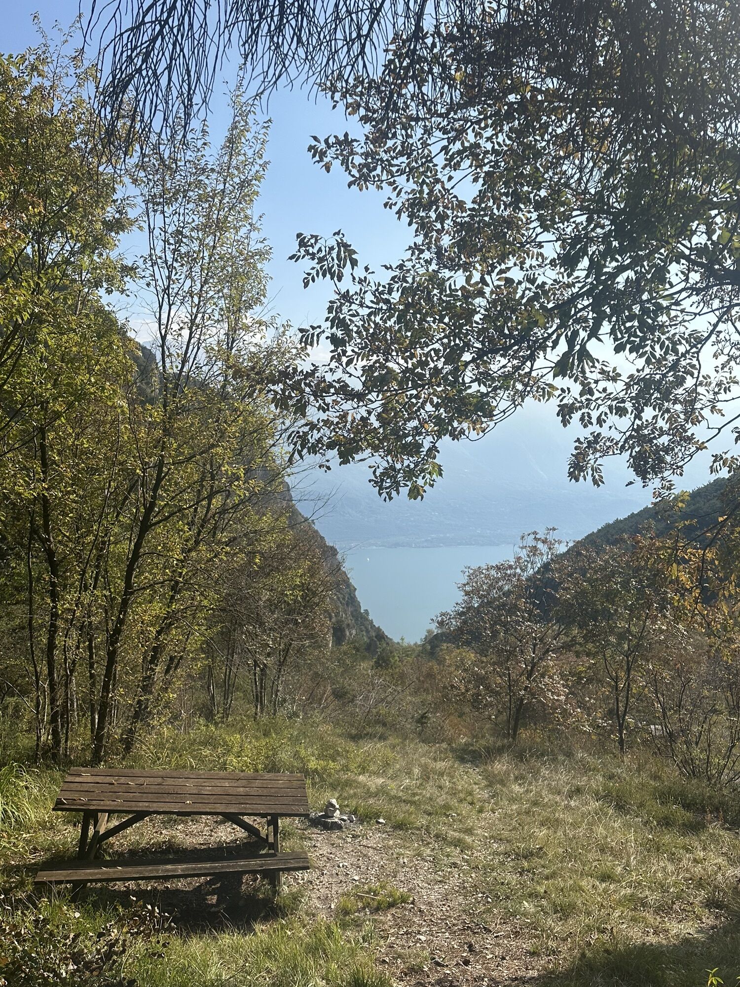
There is a table with benches, ideal for resting and catching your breath.
Back on the road, follow the dirt road downhill and then follow the stretch of road you took on the way up to Limone sul Garda.


2) Choose a suitable route according to your abilities
3) Choose suitable equipment and gear for the hike
4) Consult weather bulletins
5) Going alone is riskier
6) Leave information about your itinerary and approximate time of return
7) Do not hesitate to rely on a professional guide
8) Always check the signs and signposts you find on the route
9) Do not hesitate to retrace your steps
10) Always wear suitable clothing for the season, taking into account the type of excursion, the altitude, and the weather, which can change very quickly in the mountains.
11) Equipment: in addition to suitable shoes, it is recommended to bring a water bottle, first aid equipment, a map, a multifunctional knife, and an outdoor application for your mobile phone.
12) In the event of an accident, call 112
As you can imagine, the navigability of itineraries in a mountain environment is closely linked to the conditions and therefore depends on natural phenomena, environmental changes and weather. For this reason, the information contained in this sheet may have changed. Before setting off, find out about the condition of the route by contacting the managers of the lodges on your route, the mountain guides, nature park visitor centres, or tourist offices.
Take the A4 Milan-Venice motorway and exit at Brescia Est, then take the ring road towards Lago - Madonna di Campiglio - Salò. From Salò, follow the signs for Riva del Garda
For those arriving by train, on the other hand, the nearest train stations to Limone are Desenzano del Garda in the south of the lake or Rovereto in the north.

Webové kamery z prehliadky


Obľúbené výlety v okolí
-
5,0
Bastione and Santa Barbara, the lords of Riva del Garda
strednáTuristika 2,94 km -
4,9
Via Ferrata dell’Amicizia - Cima SAT
strednáVia ferrata 4,41 km -
4,8
Sentiero Busatte Tempesta
svetloTuristika 7,90 km -
4,8
Bocca Fortini - Tour
ťažkéMountainbike 35,4 km -
4,8
Via Ferrata Fausto Susatti - Cima Capi (from Ledro)
strednáVia ferrata 7,11 km -
4,6
Via Ferrata delle Laste e Gallerie di Cima Rocca
svetloVia ferrata 6,38 km -
4,5
Walking around Lake Ledro
svetloTuristika 9,40 km -
4,5
Tremalzo Big - Tour
ťažkéMountainbike 45,6 km -
4,8
Ponale Path (from Ledro)
strednáTuristika 10,8 km -
4,9
Riva del Garda nach Ledrosee und zurück
strednáE-MTB 37,6 km
Turistika a stopovanie


Nenechajte si ujsť ponuky a inšpiráciu na ďalšiu dovolenku
Vaša e-mailová adresa bol pridaný do poštového zoznamu.





