



La Vecia & Baita Segala

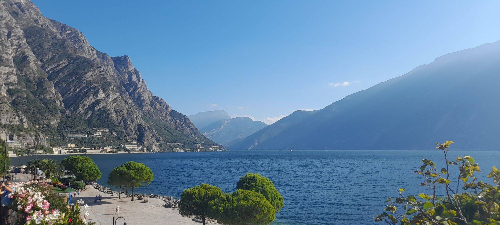
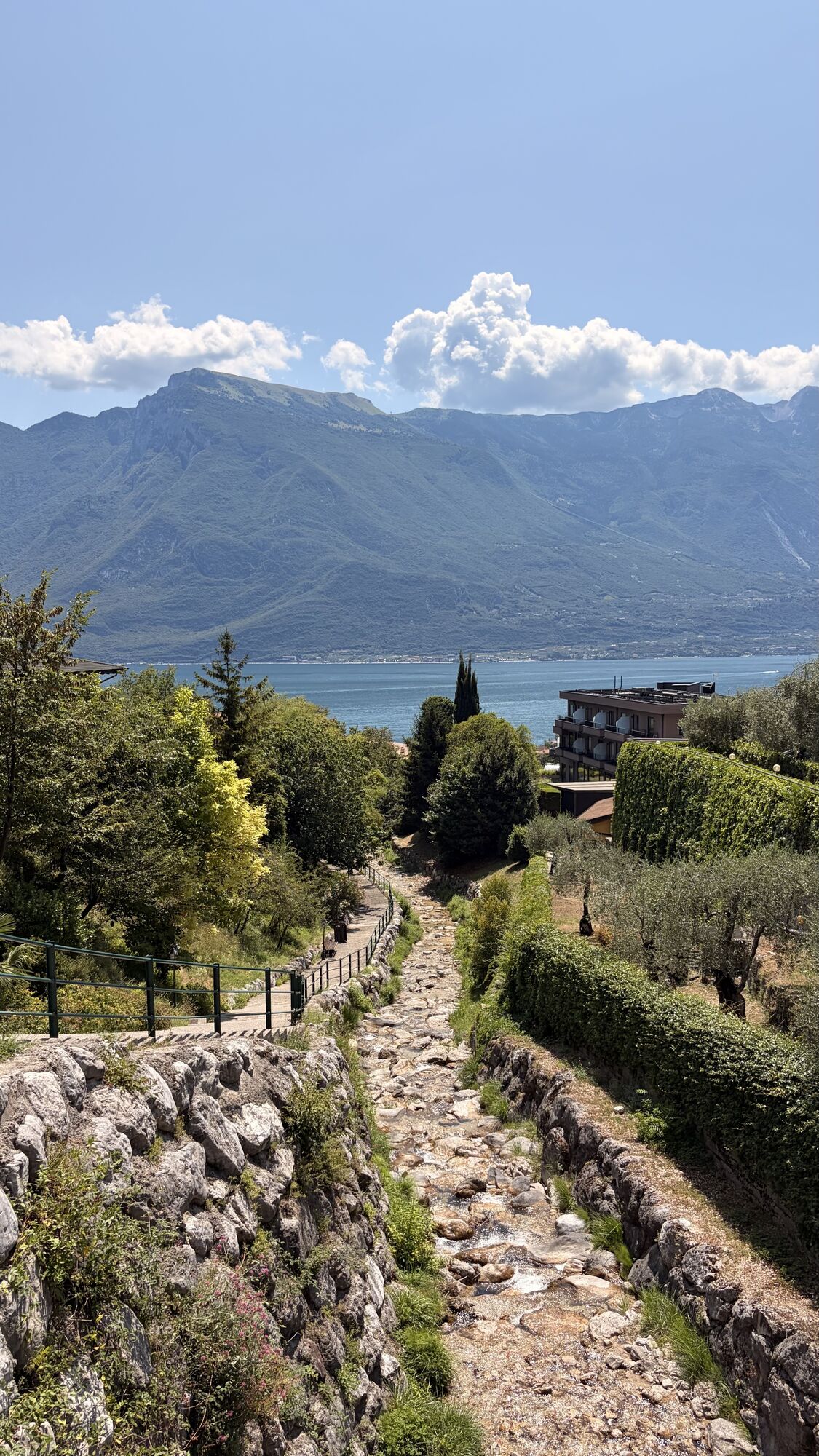


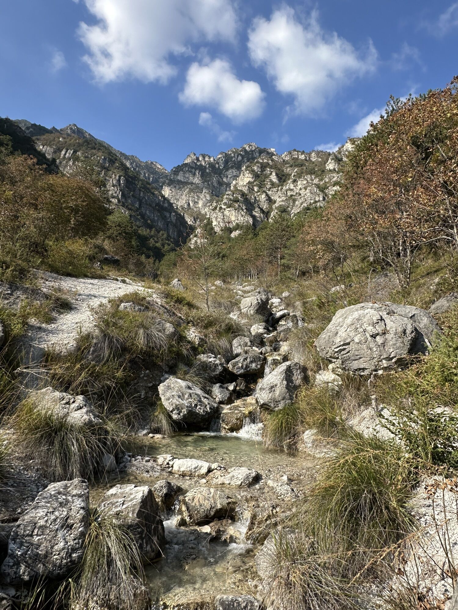
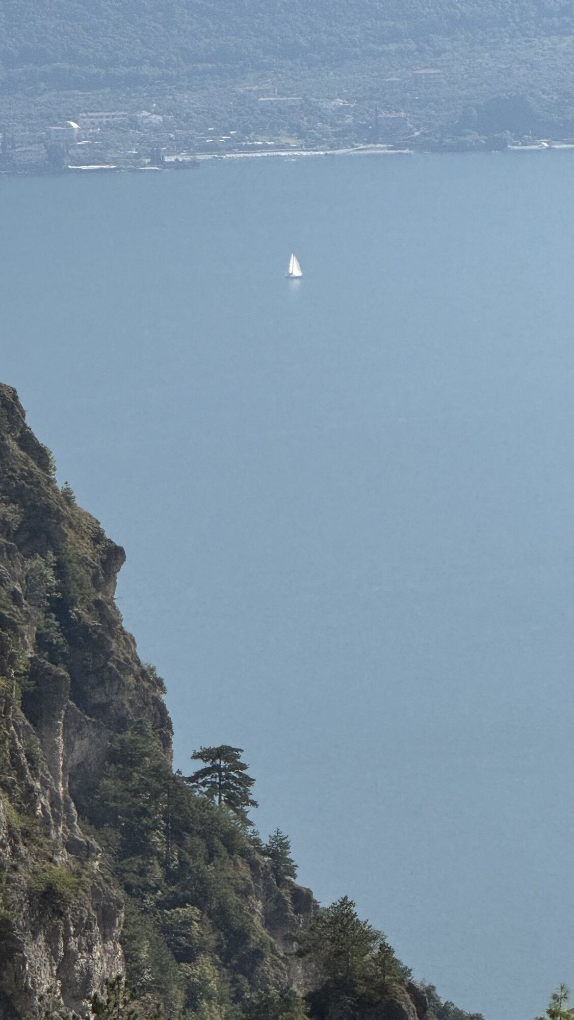
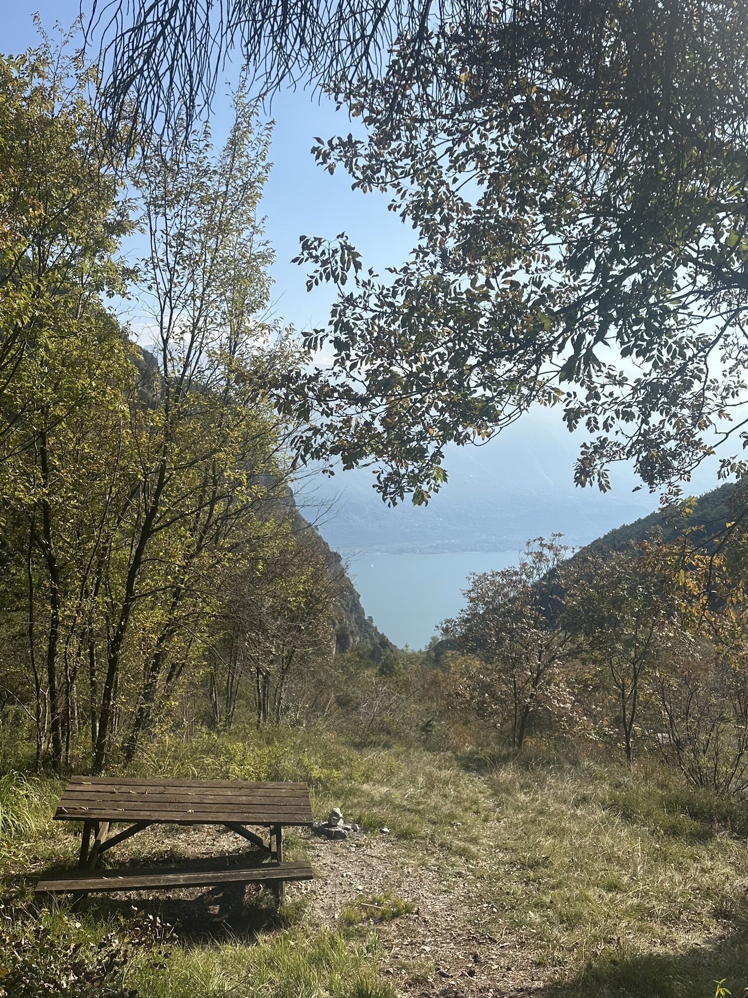
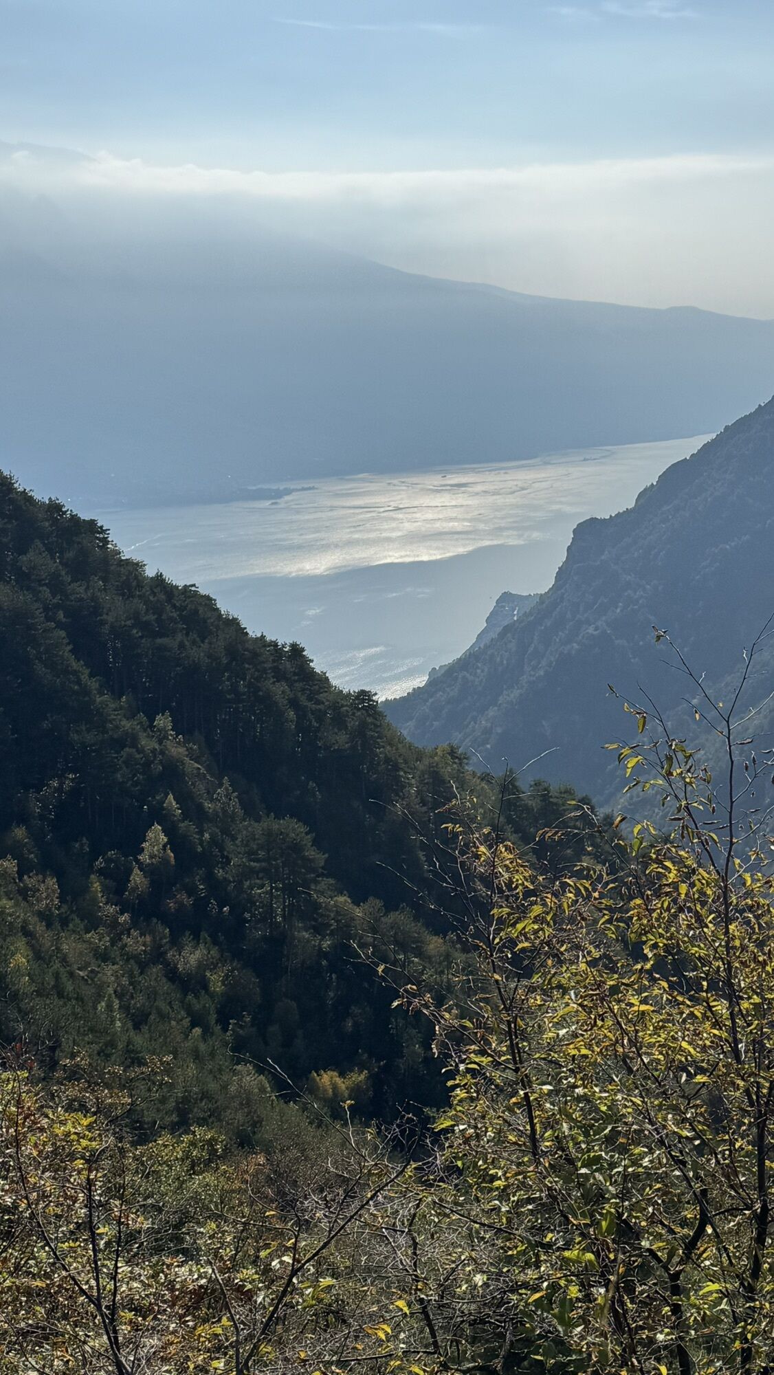
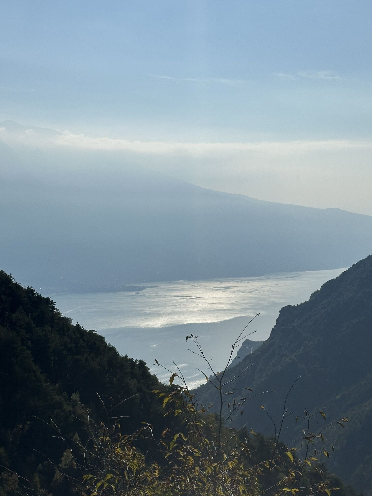


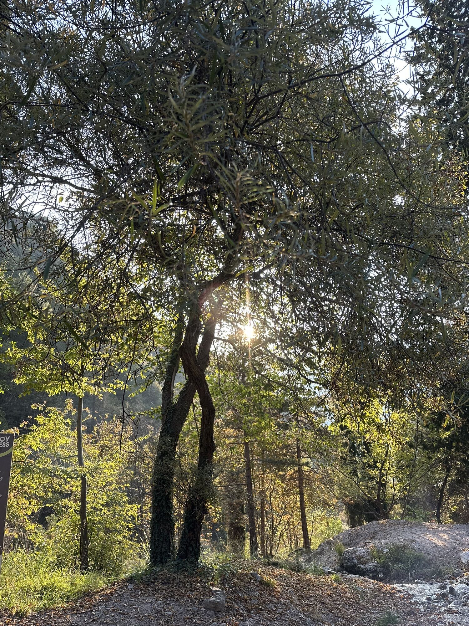


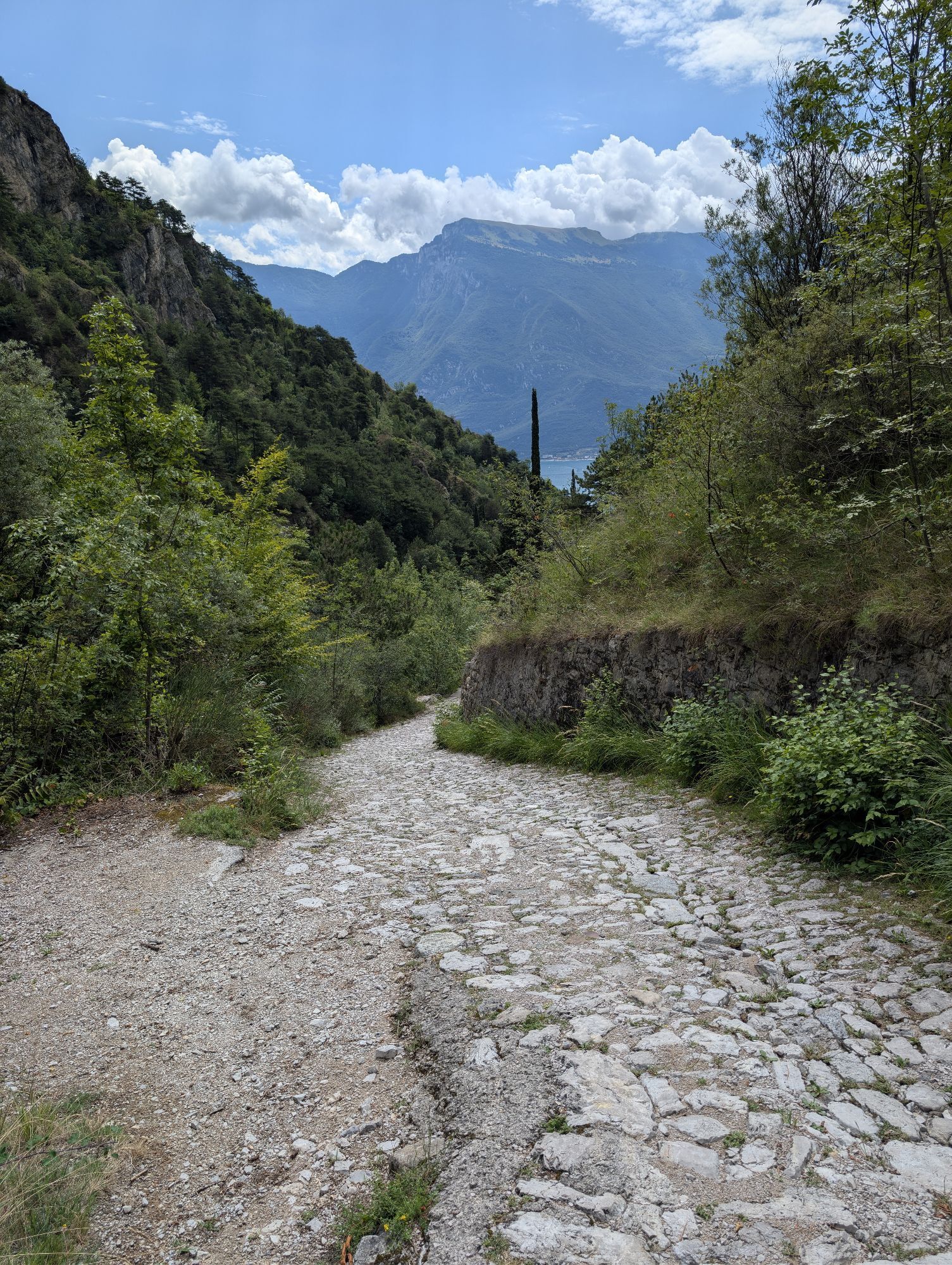


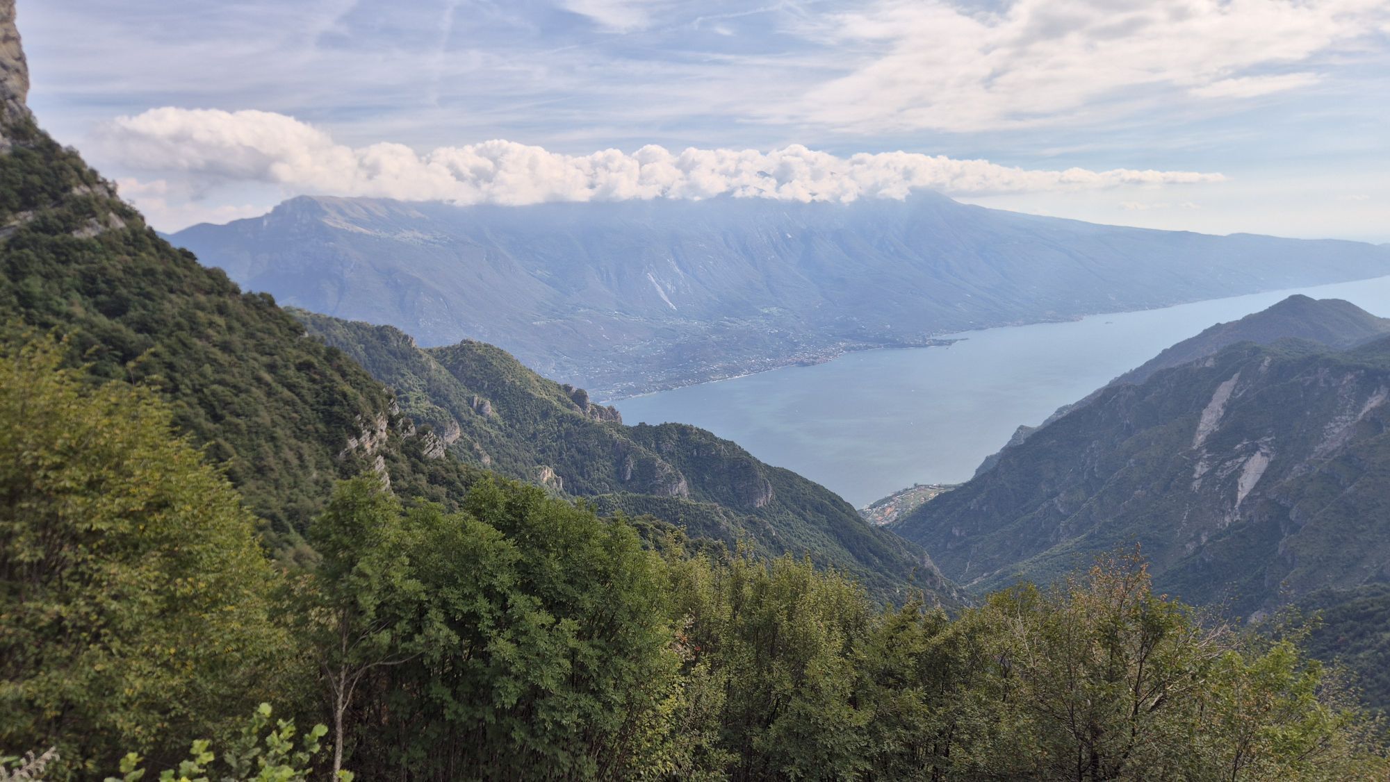

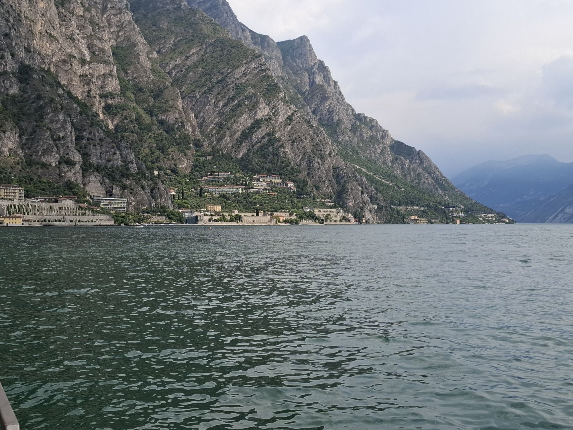
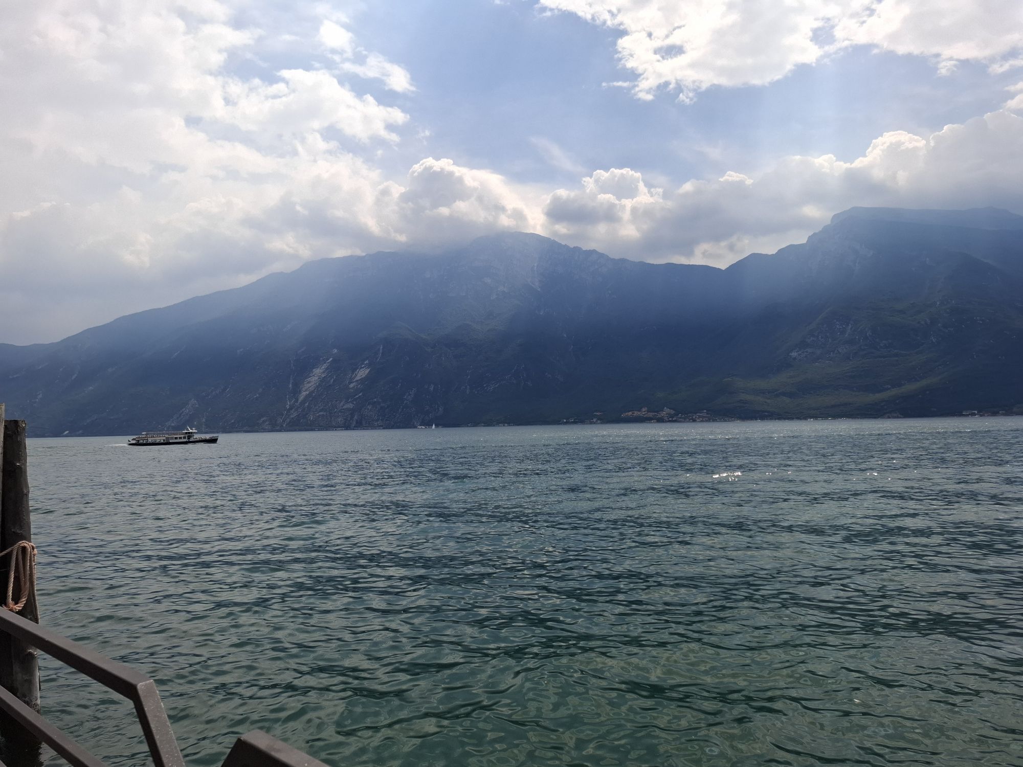

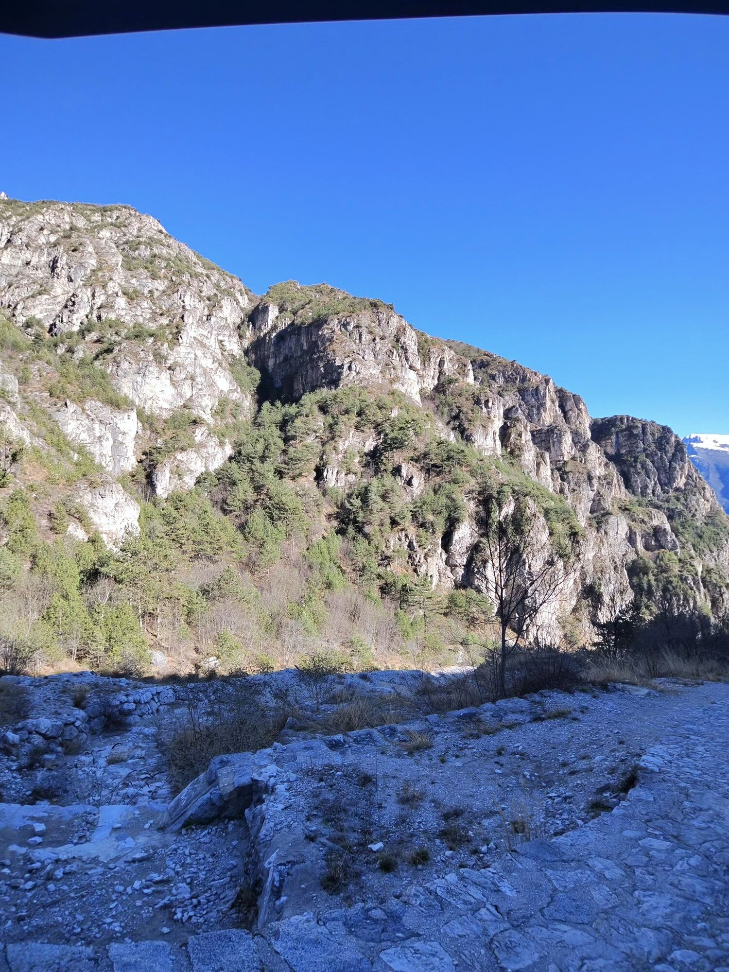

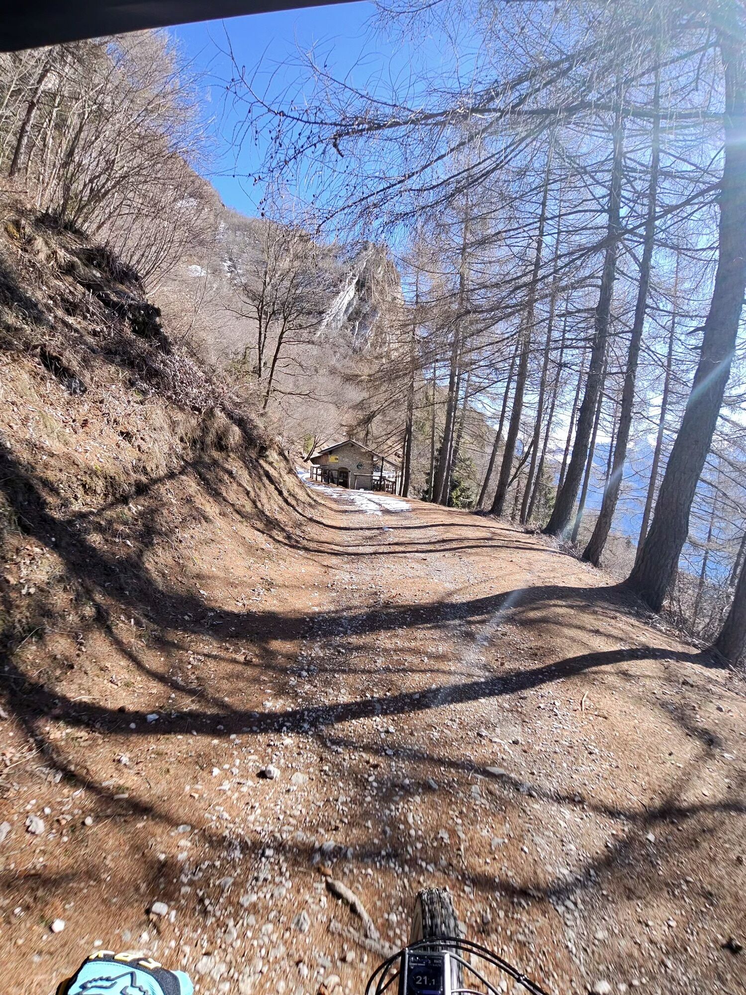
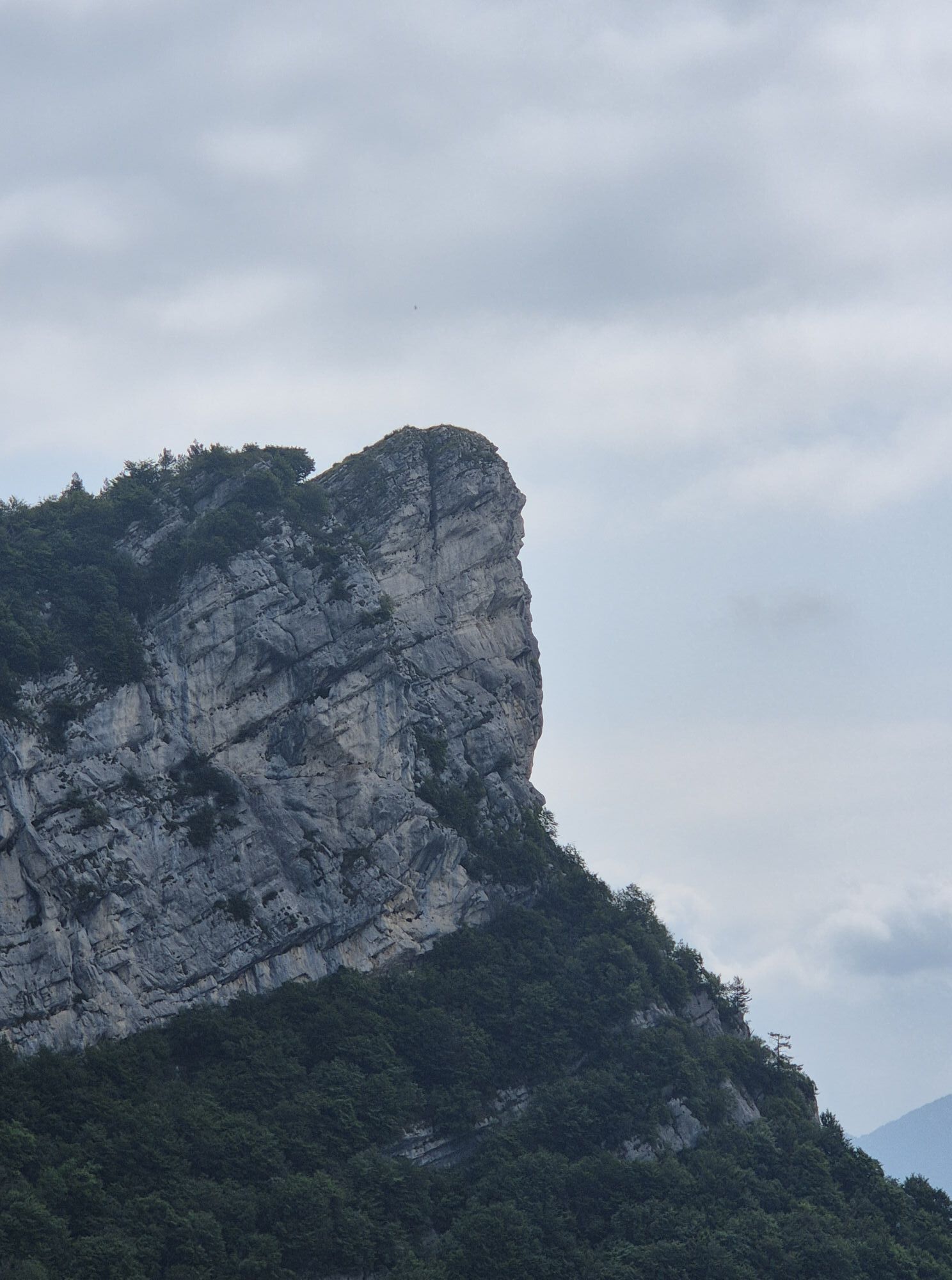


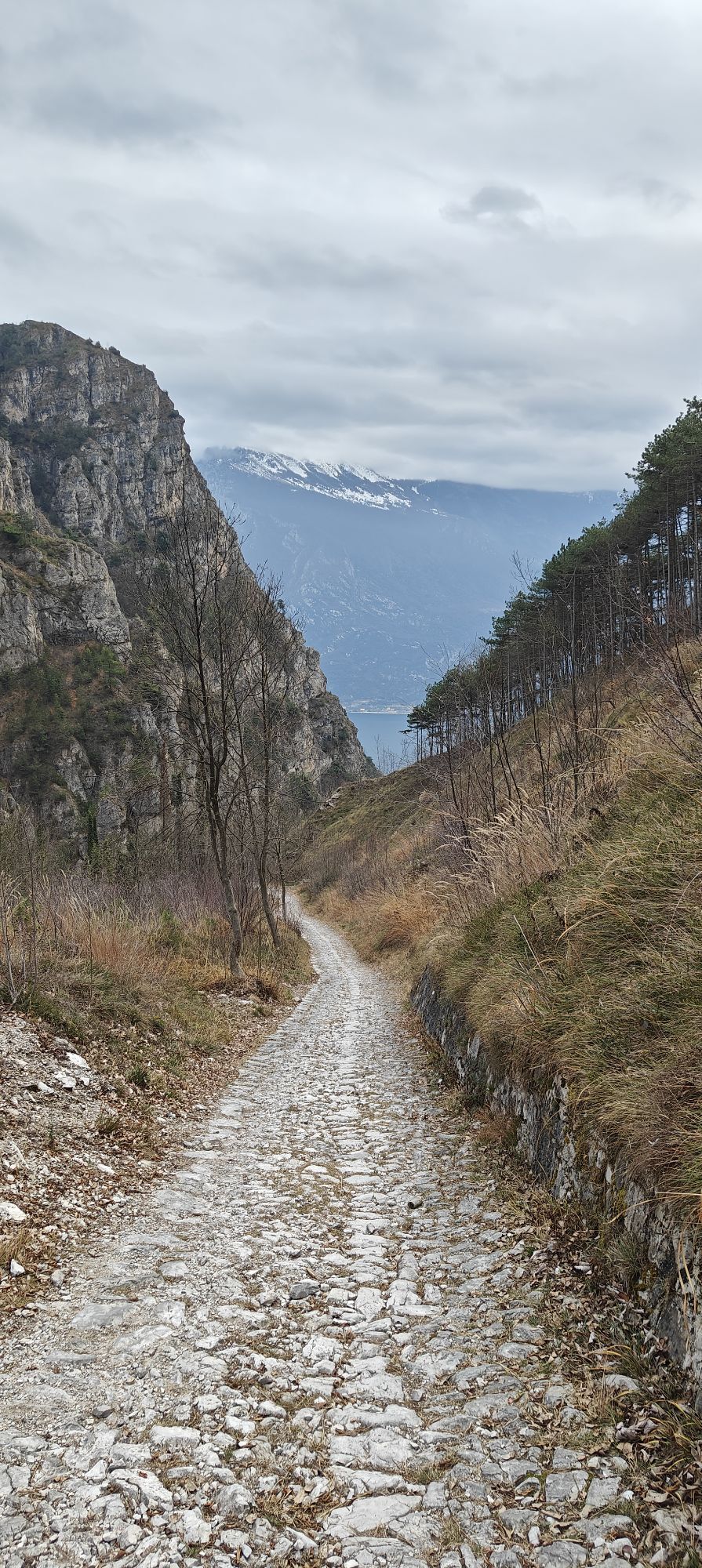
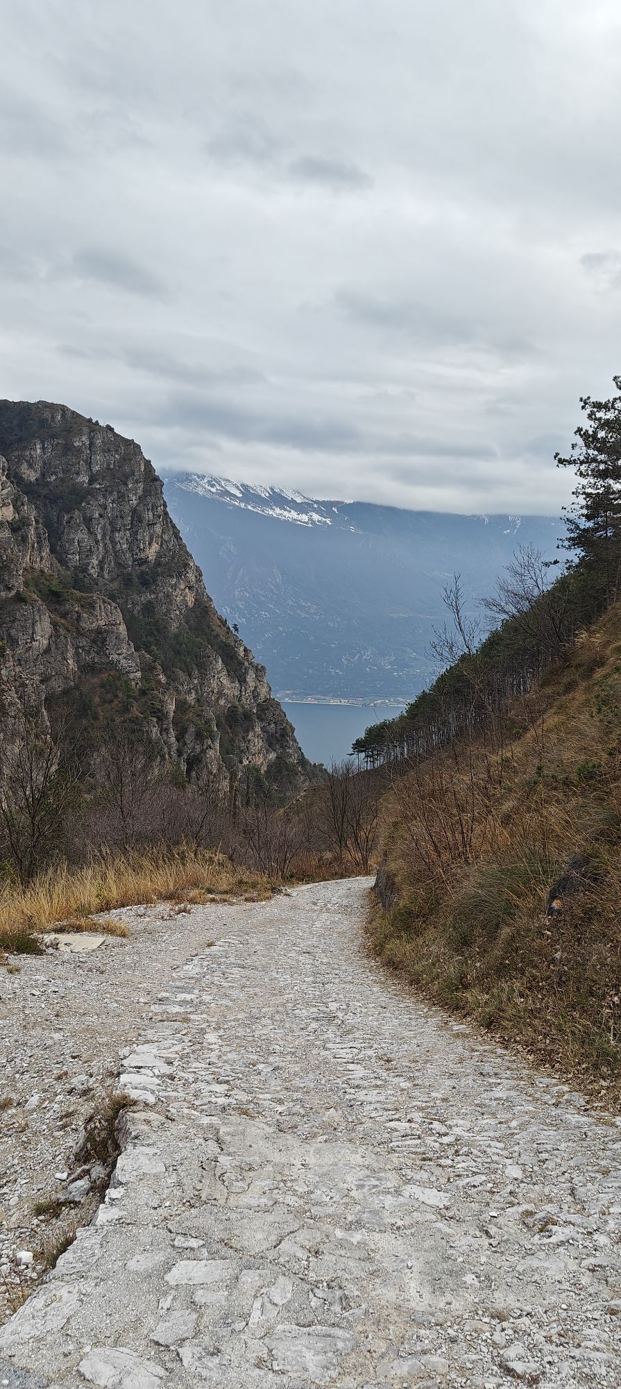


The starting point for this excursion is the centre of Limone sul Garda. From the beach, go up Passeggiata San Giovanni, past waterfalls and pools of water, until you reach the La Milanesa area.
Turn...
Turn left (Campaldo - Preals signs) and follow the
Sentiero Natura itinerary for a stretch, first slightly uphill and then level, until you come to the fork with
trail 112 Preals Dalco for experts only.
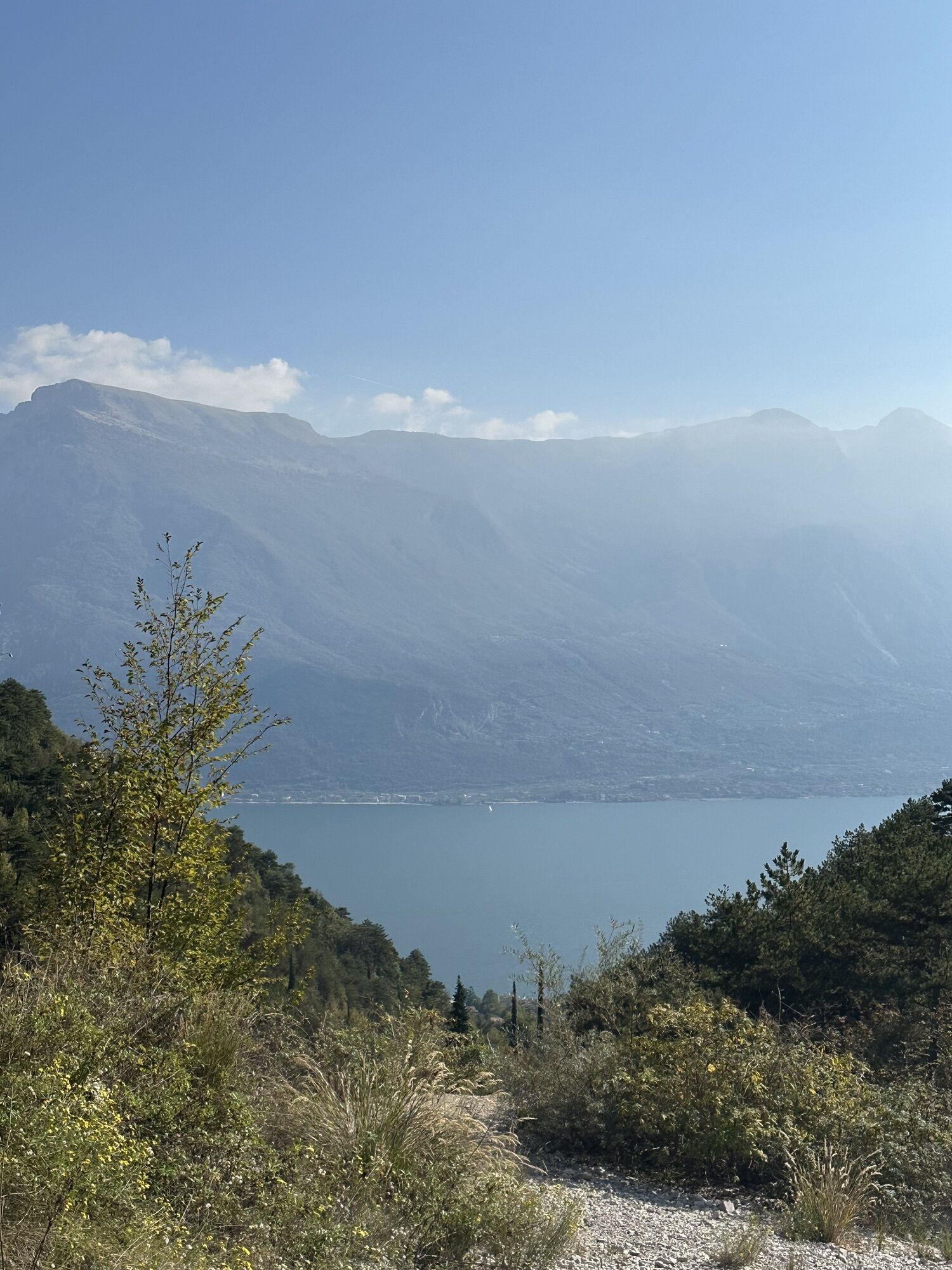
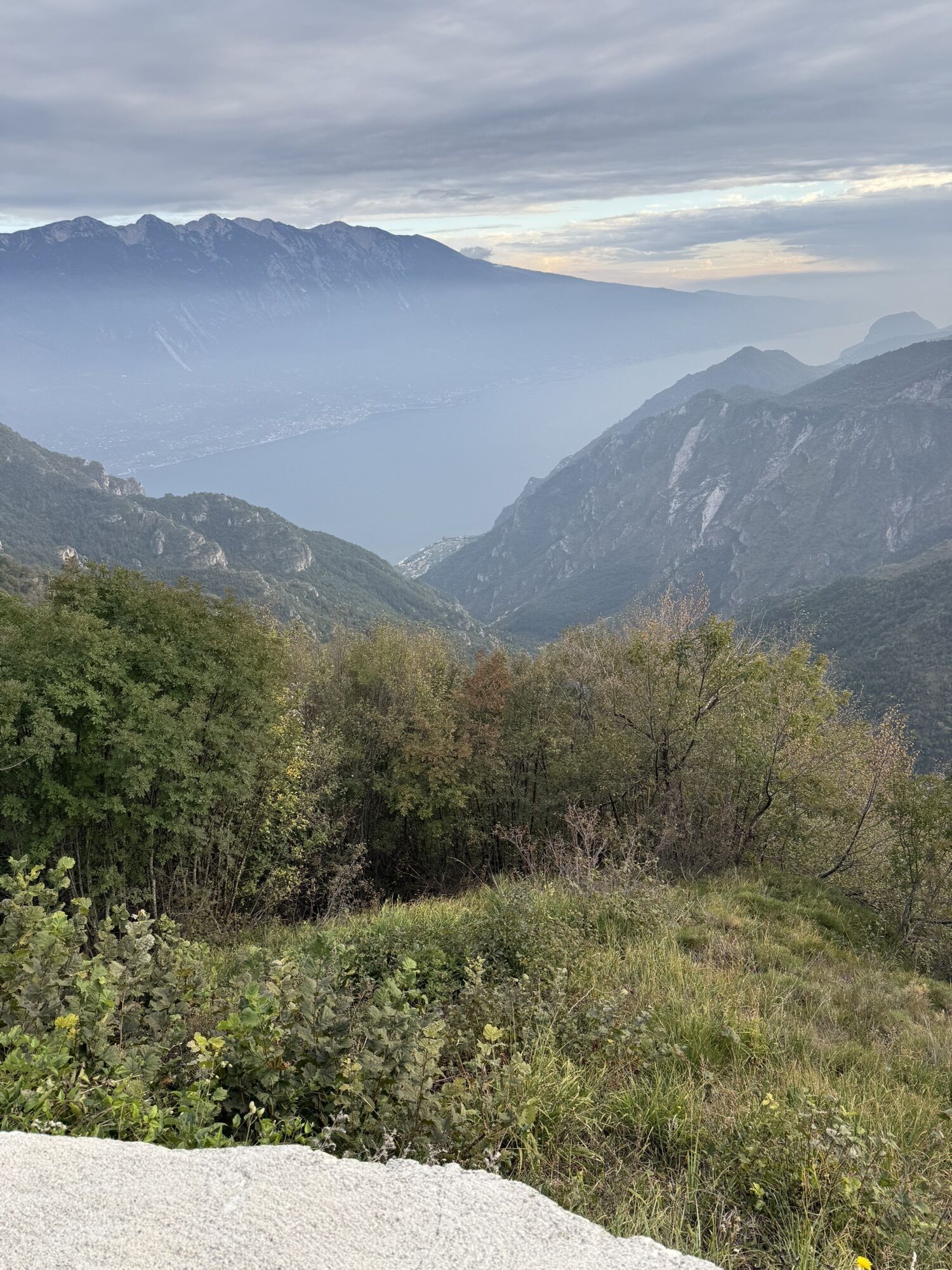
Turn right and start climbing steeply , going higher and higher with unbeatable views of Lake Garda behind you (this section has the most beautiful views of the hike).
As you get closer and closer to the highest part of the mountain, you pass a section with a metal rope
and climb up to the top near Monte Preals.
Follow the signs for Bocchetta Valle Scaglione from here, walking along an easy, semi-level trail.
When you reach the pass, start climbing again towards the next destination:
Monte Corna Vecchia.
Trail 102 climbs steadily through the woods and approaches the peaks that crown Limone sul Garda.
After a zig-zag stretch , you reach
Bocchetta Val Faigole and turn right, now following the
signs for Cima Traversole
.
The trail is level at the beginning, with some exposed stretches, then reaches a bivouac , which is very useful in bad weather, and descends steeply to the
Bocchetta Val Tregadone Piccolo
.
From this point, a new climb begins that leads to the
Traversole peak ( 1441 m ), from which you can
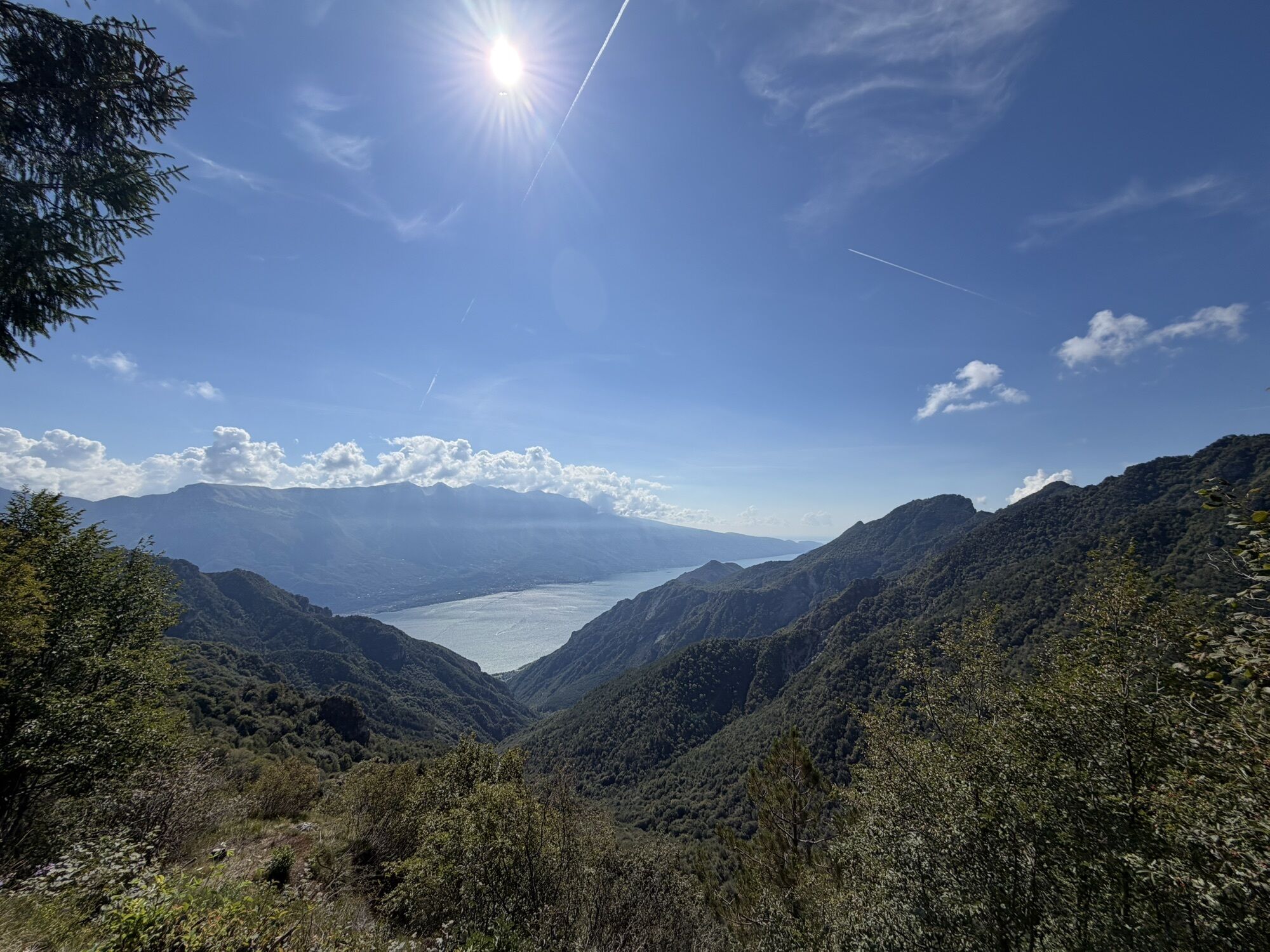
admire Lake Garda in the distance and a good part of the route taken so far.
Along the same trail, go down into the woods until you reach the dirt road that leads to Passo Nota on the left
and Baita Segala on the right.
.Turn right and walk along the easy, level forest road, with panoramic views of the lake every now and then.
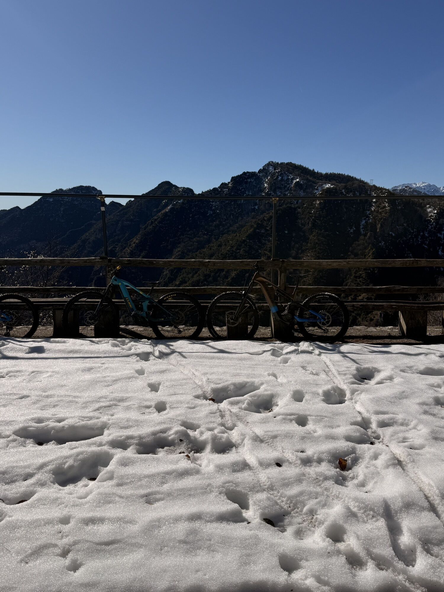
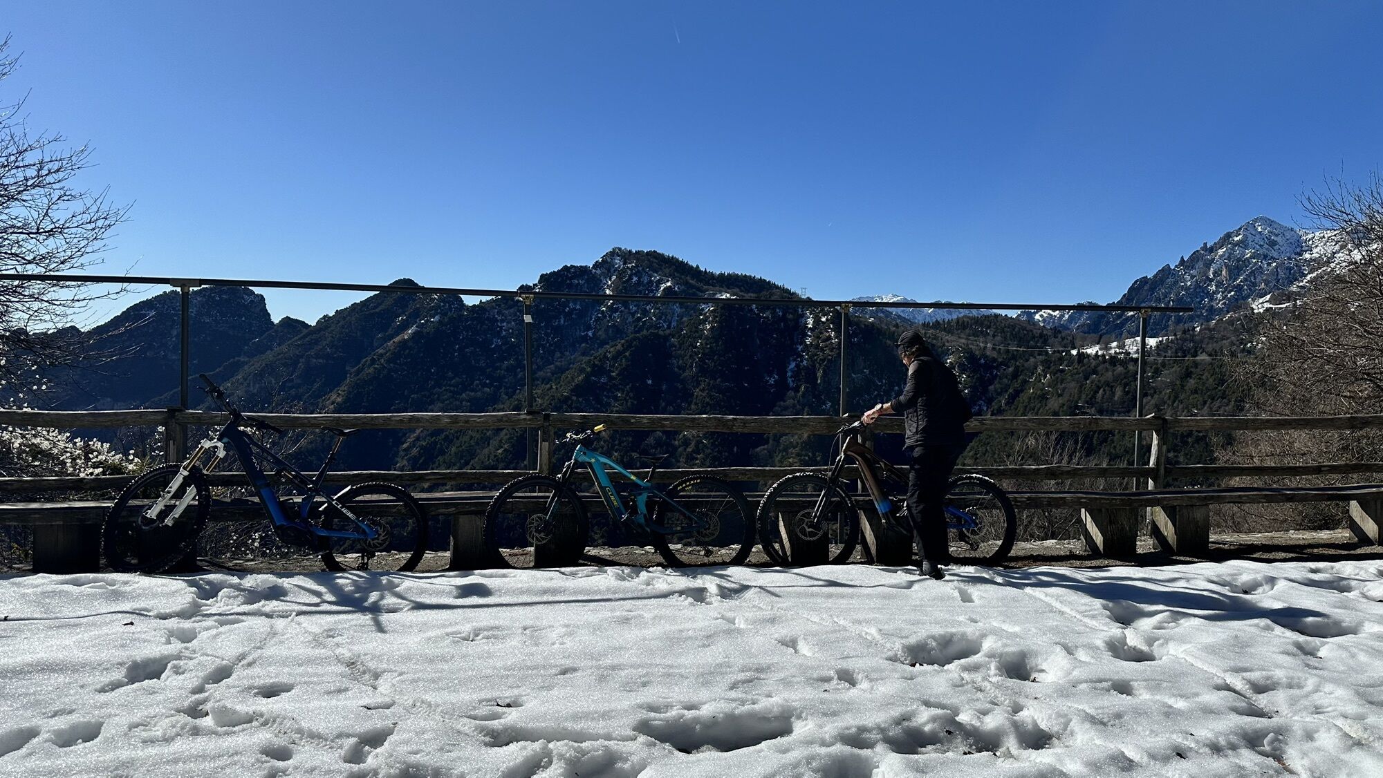
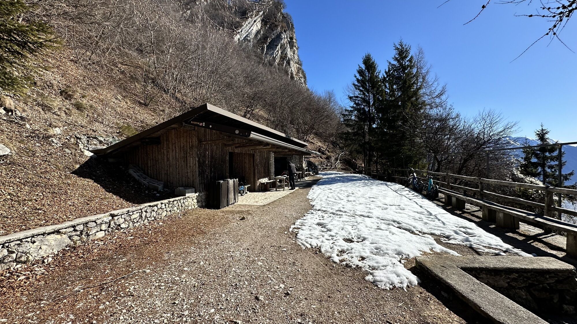
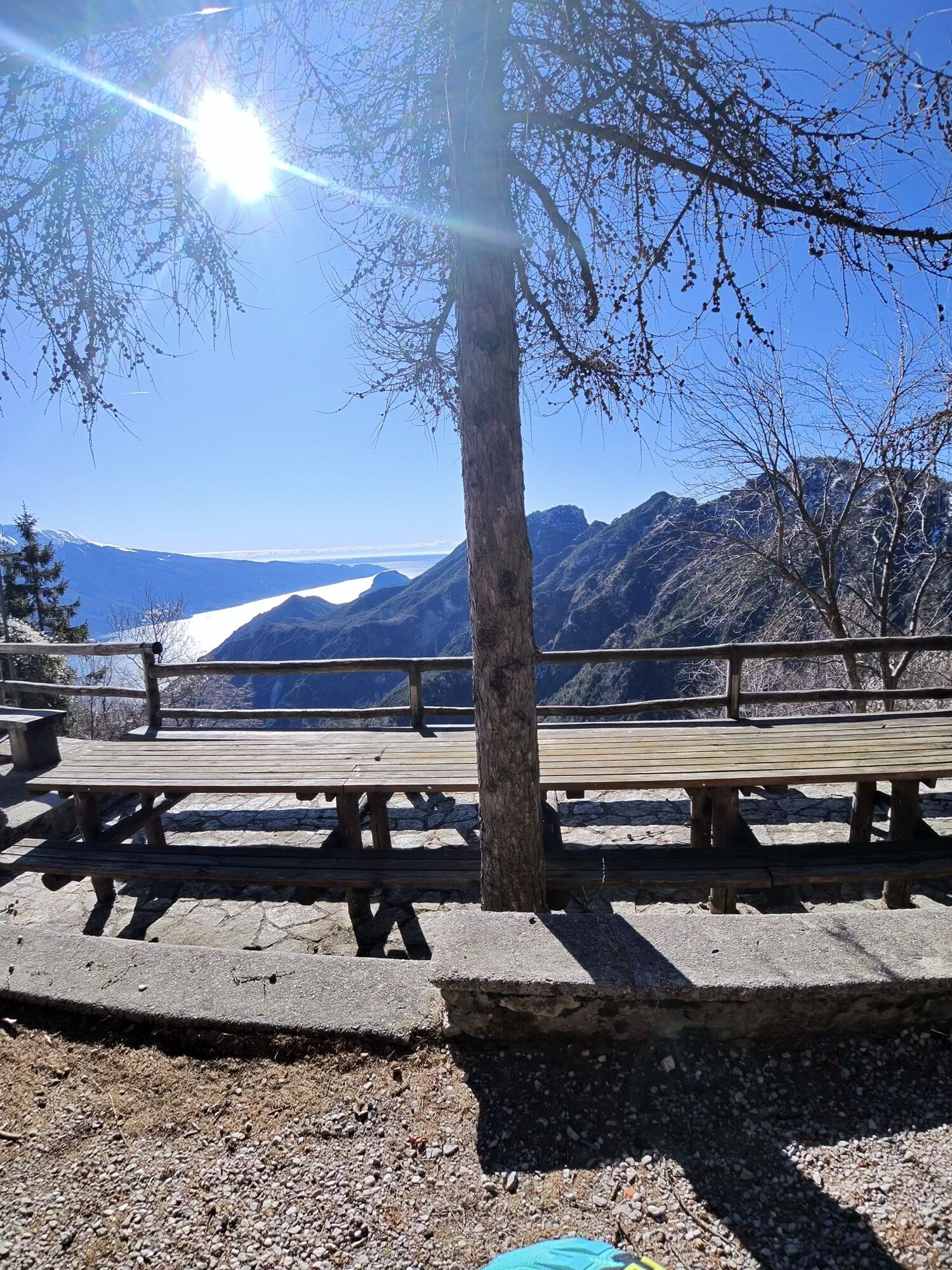
In about ten minutes, you will reach Baita Segala , a small wooden house run by the Alpine troops, which offers
outdoor tables and benches , ideal for eating a packed lunch with a panoramic view, and an indoor area, perfect as a shelter in the event of bad weather.
The descent toward Limone sul Garda begins from Baita Segala.
Take the trail that winds immediately behind the lodge (marked), descending first with a steep zig-zag
and then down into the woods on trail 104.
Pass signs for Malga Vallacco and descend
along trail 117 until you meet the fork you took on the way up, which leads to Cima Mughera,
Continue on trail 101, and you will arrive at La Milanesa.
Then take Passeggiata San Giovanni and return to Limone sul Garda.



2) Choose a suitable route according to your abilities
3) Choose suitable equipment and gear for the hike
4) Consult weather bulletins
5) Going alone is riskier
6) Leave information about your itinerary and approximate time of return
7) Do not hesitate to rely on a professional guide
8) Always check the signs and signposts you find on the route
9) Do not hesitate to retrace your steps
10) Always wear suitable clothing for the season, taking into account the type of excursion, the altitude, and the weather, which can change very quickly in the mountains.
11) Equipment: in addition to suitable shoes, it is recommended to bring a water bottle, first aid equipment, a map, a multifunctional knife, and an outdoor application for your mobile phone.
12) In the event of an accident, call 112
As you can imagine, the navigability of itineraries in a mountain environment is closely linked to the conditions and therefore depends on natural phenomena, environmental changes and weather. For this reason, the information contained in this sheet may have changed. Before setting off, find out about the condition of the route by contacting the managers of the lodges on your route, the mountain guides, nature park visitor centres, or tourist offices.
The town of Limone sul Garda is served by the bus line Riva del Garda / Desenzano and the bus line Riva del Garda / Brescia.
For those arriving by train, on the other hand, the nearest train stations to Limone are Desenzano del Garda in the south of the lake or Rovereto in the north.
Take the A4 Milan-Venice motorway and exit at Brescia Est, then take the ring road towards Lago - Madonna di Campiglio - Salò. From Salò, follow the signs for Riva del Garda
Webové kamery z prehliadky

Obľúbené výlety v okolí
-
5,0
Bastione and Santa Barbara, the lords of Riva del Garda
strednáTuristika 2,94 km -
4,9
Via Ferrata dell’Amicizia - Cima SAT
strednáVia ferrata 4,41 km -
4,8
Bocca Fortini - Tour
ťažkéMountainbike 35,4 km -
4,8
Via Ferrata Fausto Susatti - Cima Capi (from Ledro)
strednáVia ferrata 7,11 km -
4,8
Sentiero Busatte Tempesta
svetloTuristika 7,90 km -
4,6
Via Ferrata delle Laste e Gallerie di Cima Rocca
svetloVia ferrata 6,38 km -
4,5
Walking around Lake Ledro
svetloTuristika 9,40 km -
4,5
Tremalzo Big - Tour
ťažkéMountainbike 45,6 km -
4,8
Ponale Path (from Ledro)
strednáTuristika 10,8 km -
4,9
Riva del Garda nach Ledrosee und zurück
strednáE-MTB 37,6 km
Turistika a stopovanie


Nenechajte si ujsť ponuky a inšpiráciu na ďalšiu dovolenku
Vaša e-mailová adresa bol pridaný do poštového zoznamu.


