







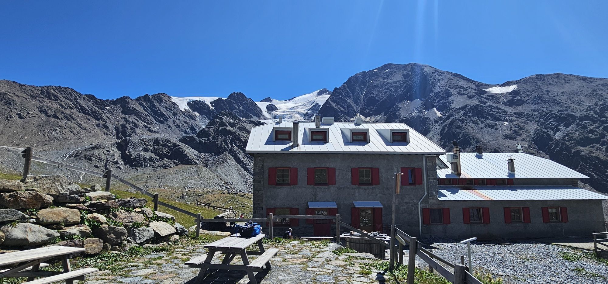
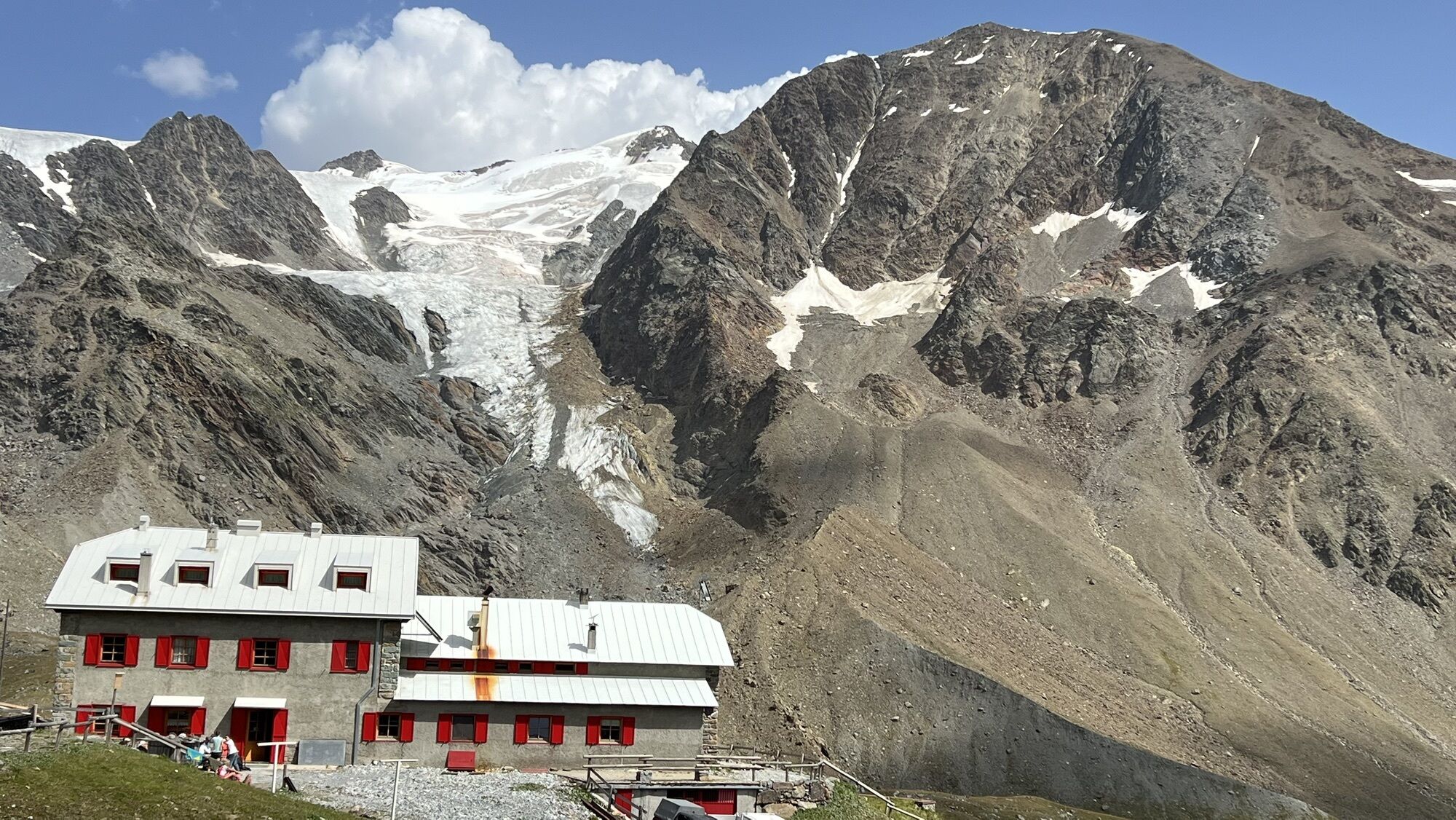
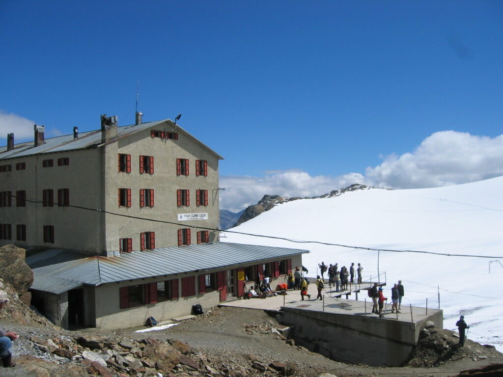
Rifugio Casati

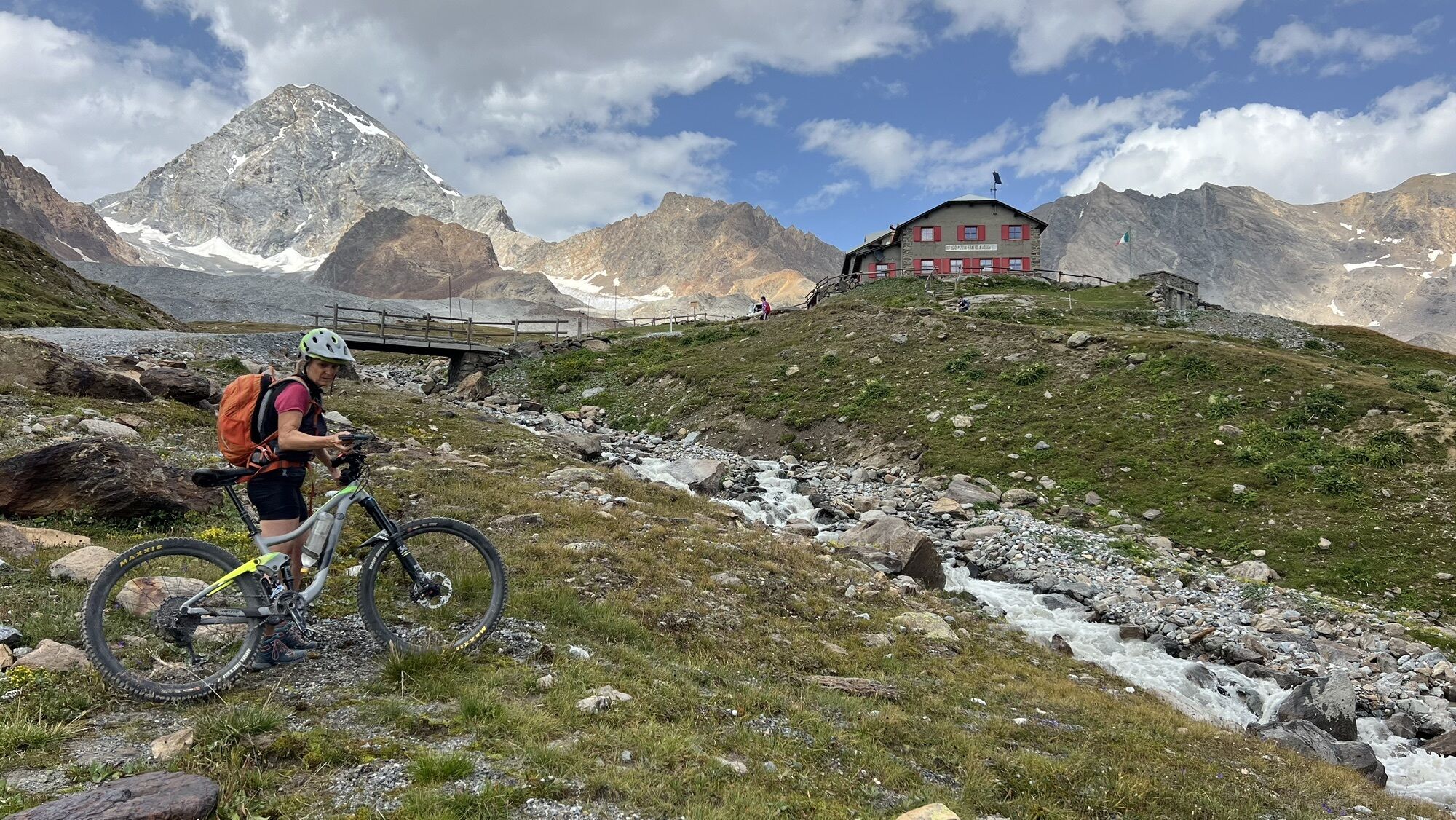
From Forni, take the road north, quite steep, that climbs up the mountain with some turns, until you reach trail S555 leading to Rifugio Pizzini. From there, continue uphill along the drivable road S528...
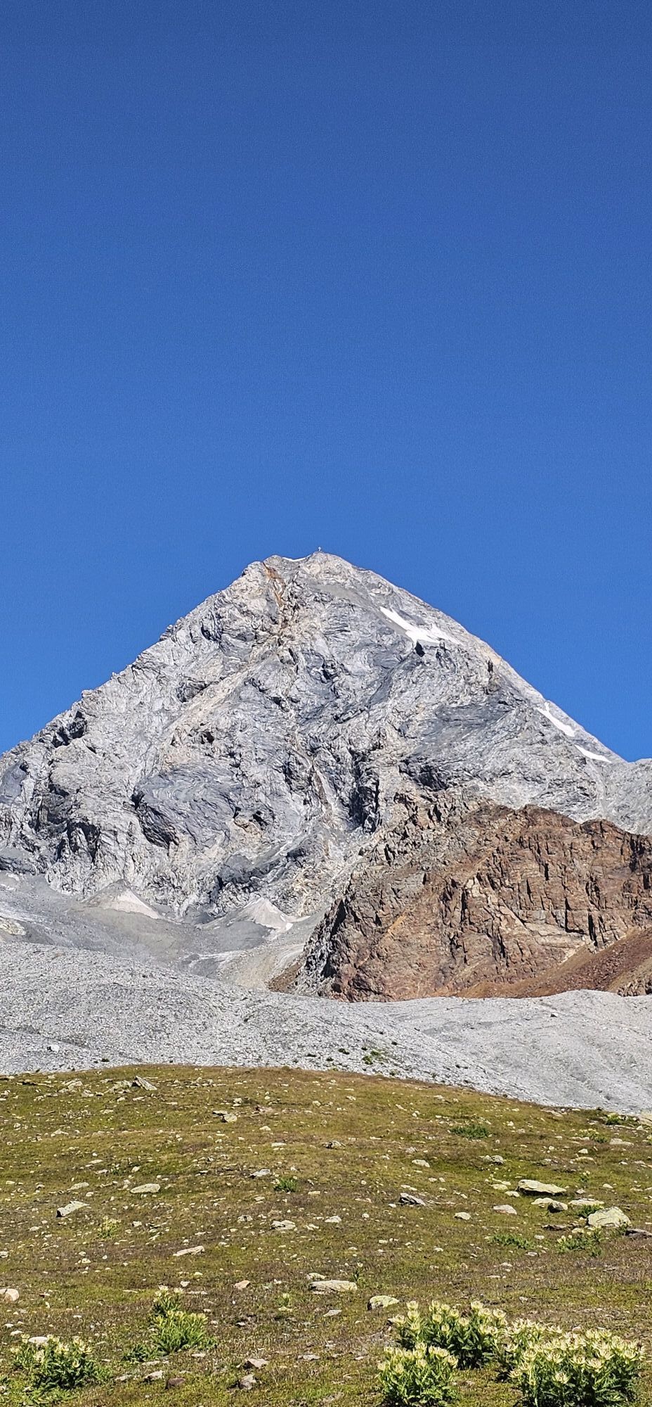
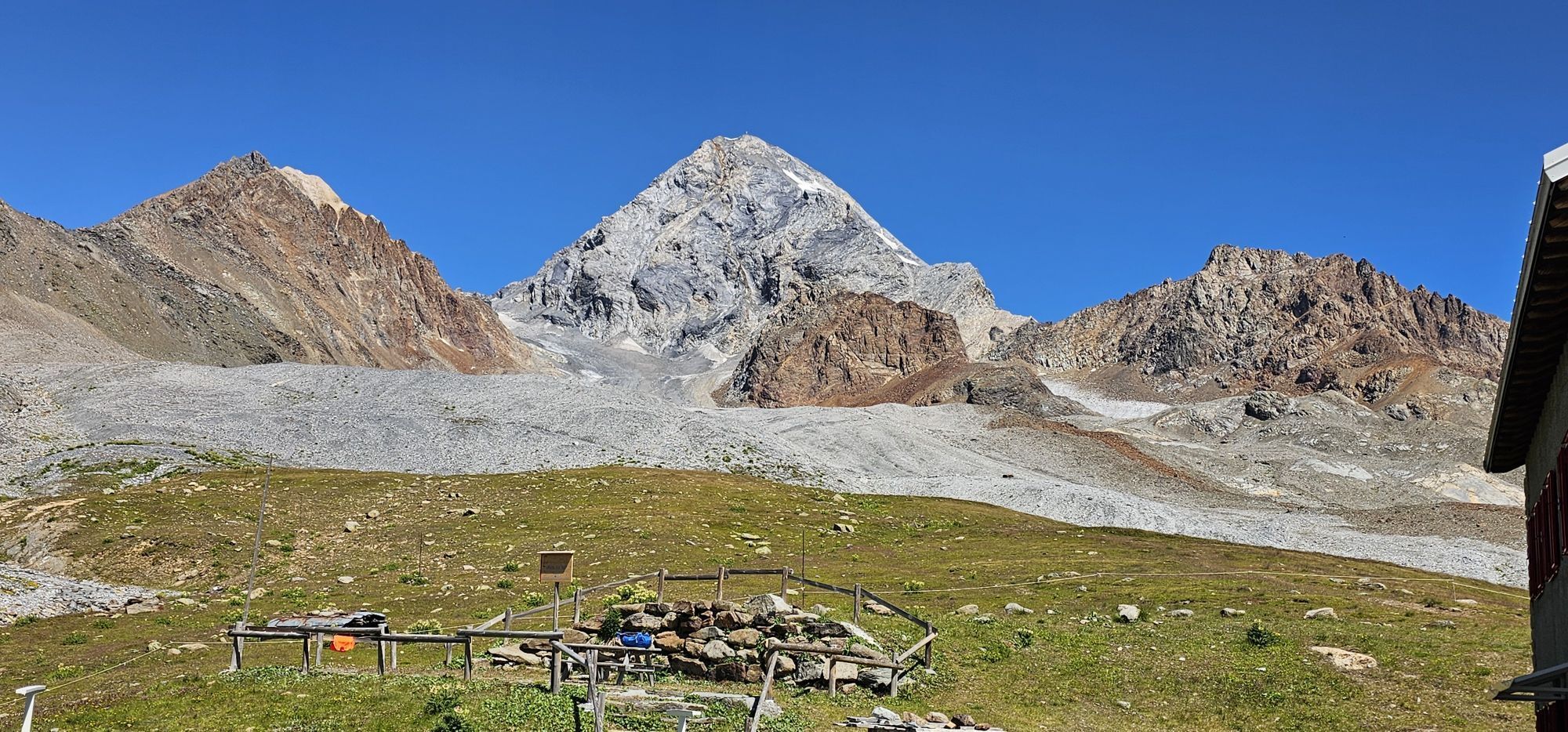
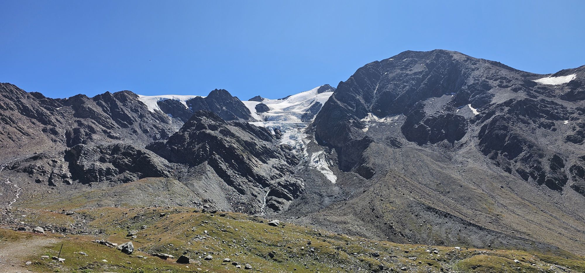
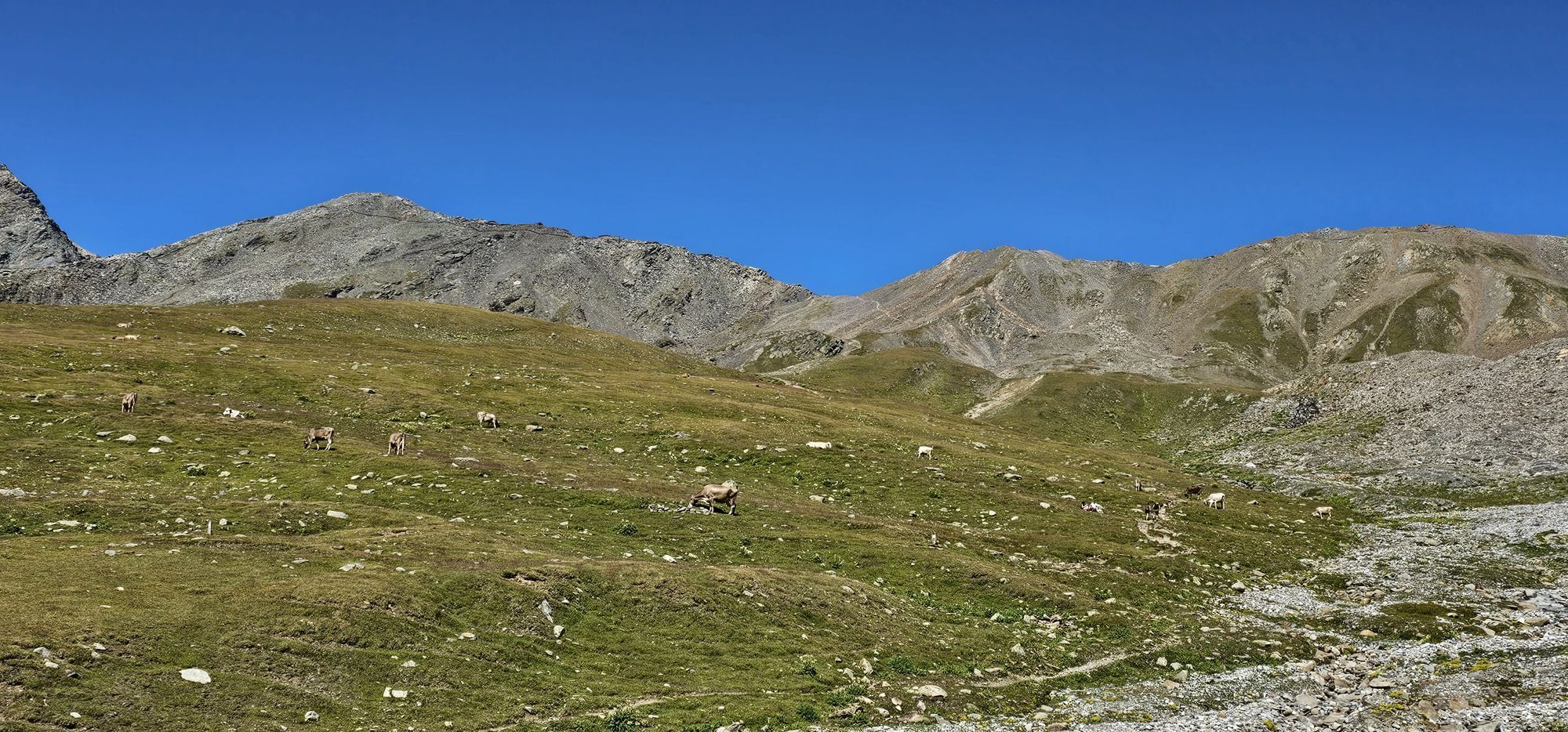
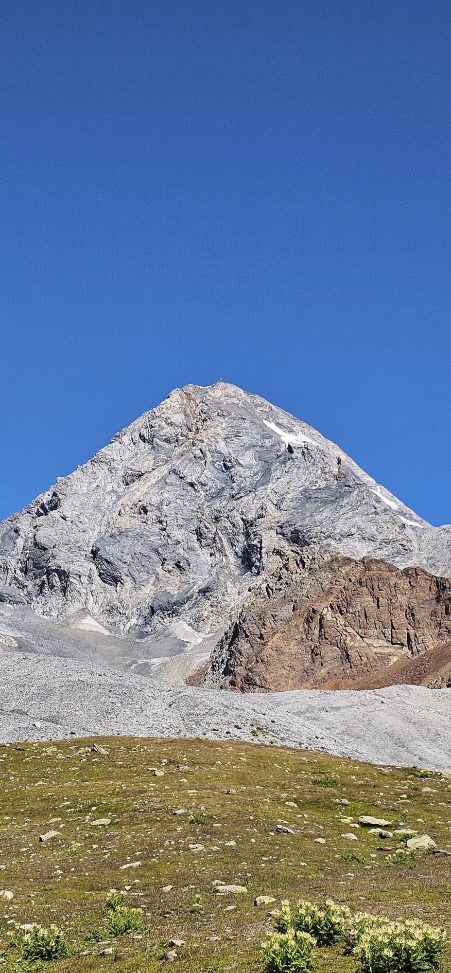
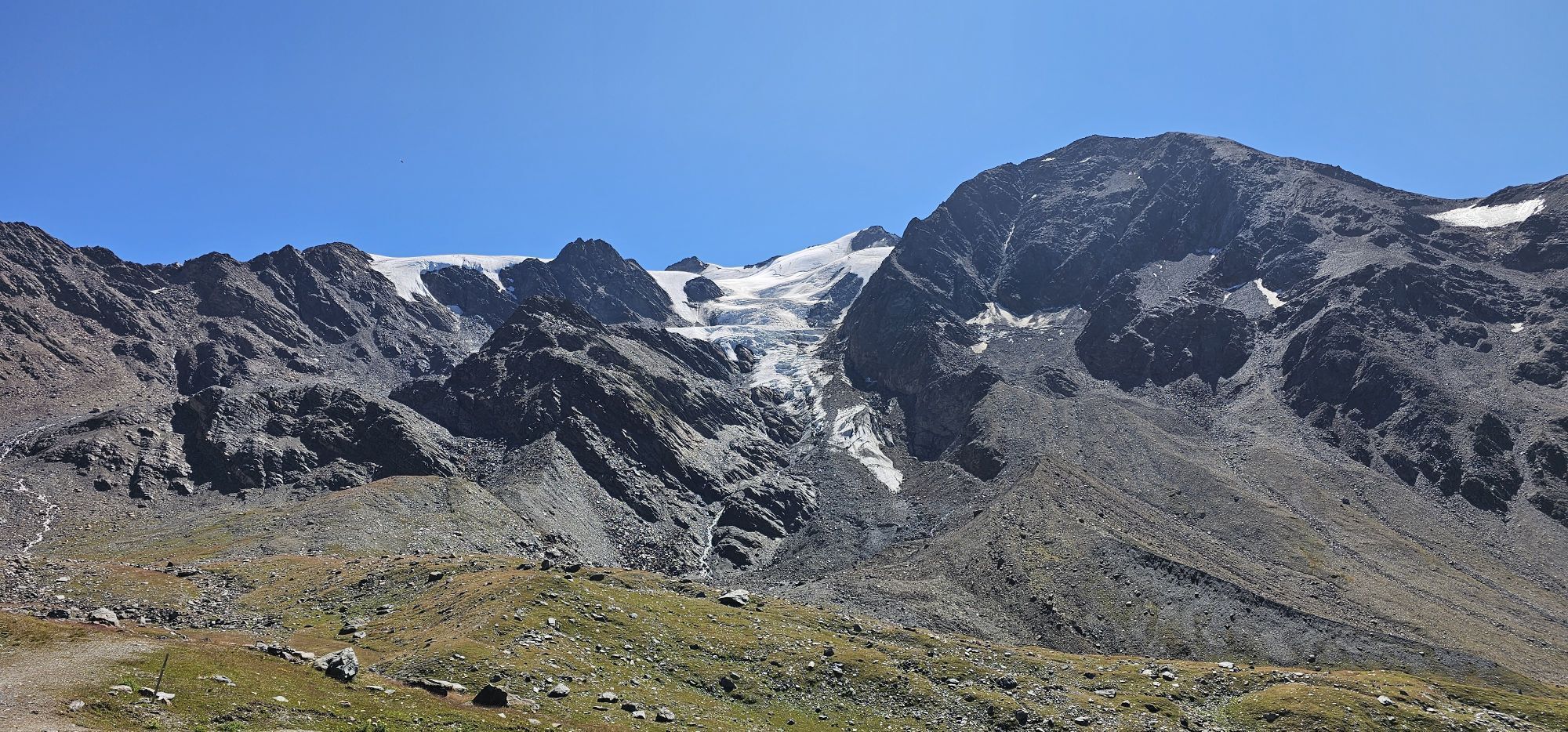
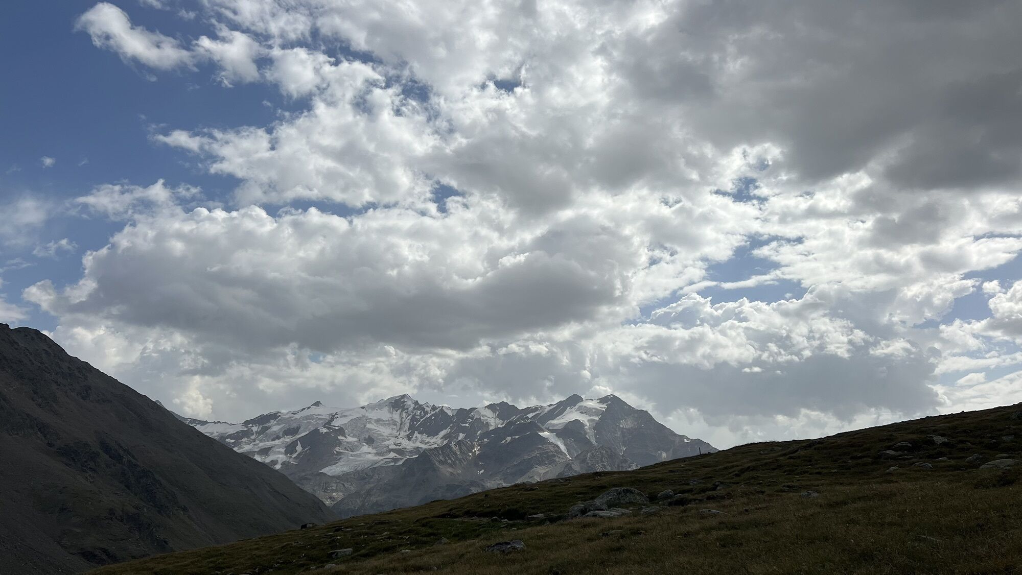
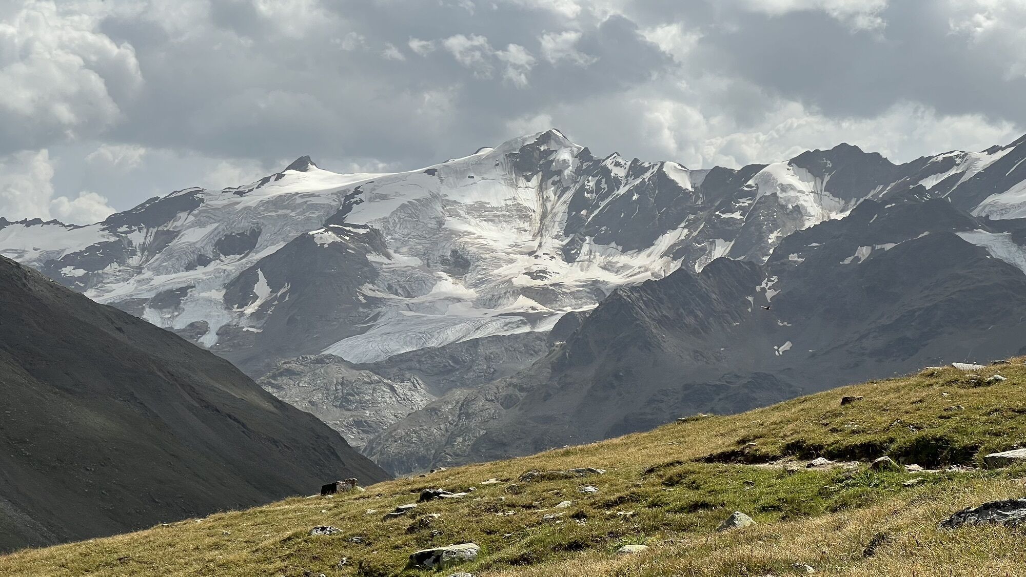
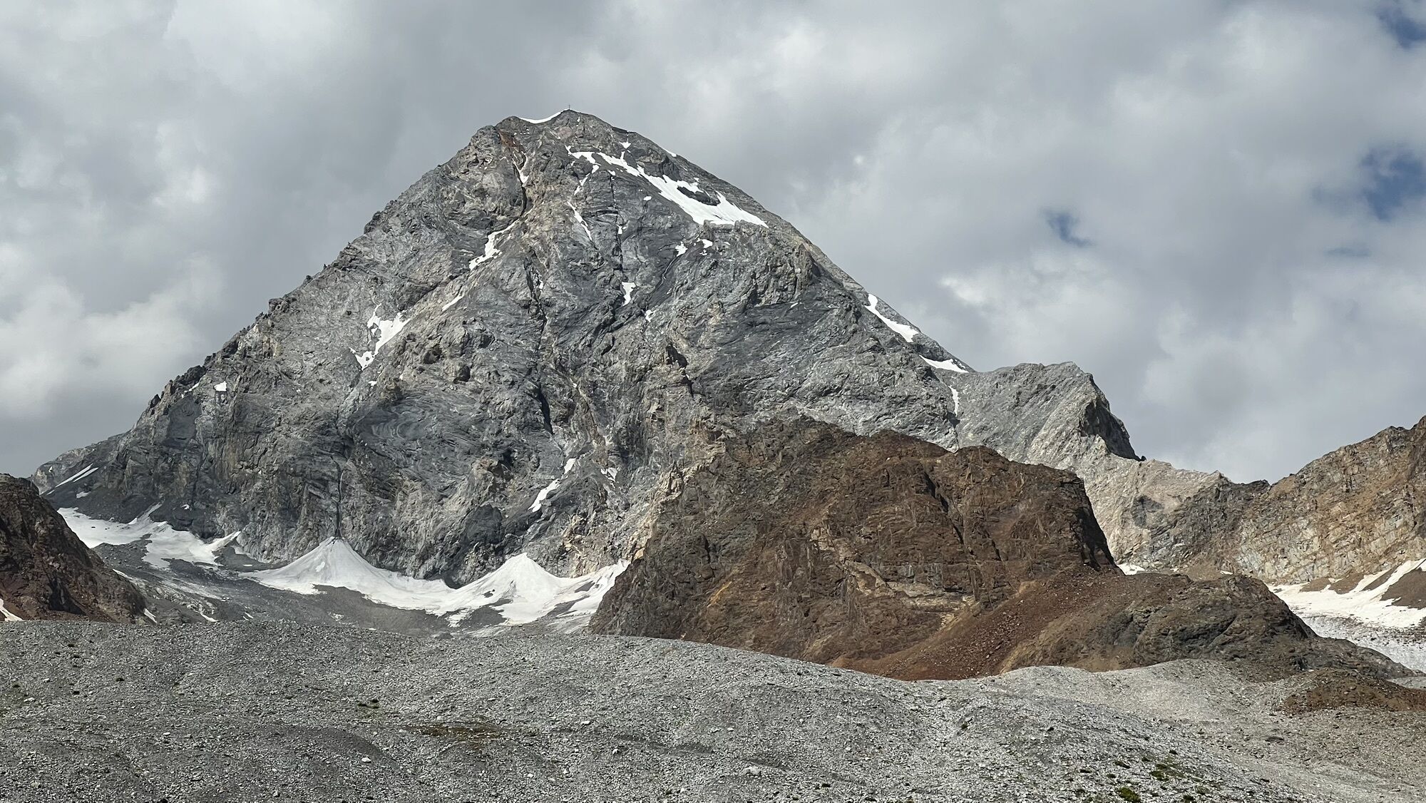
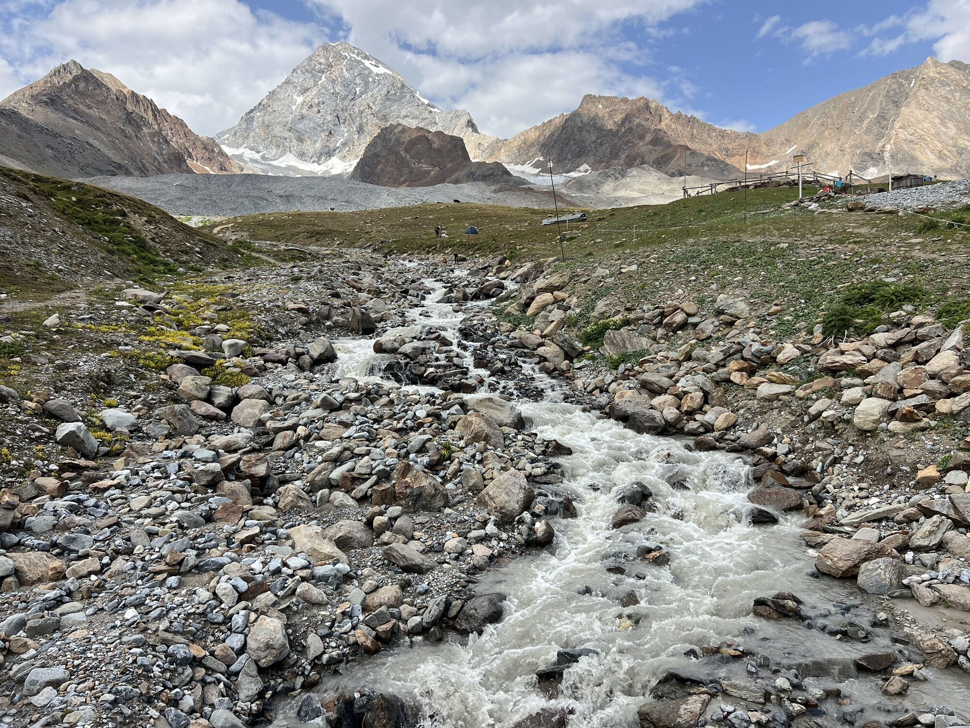
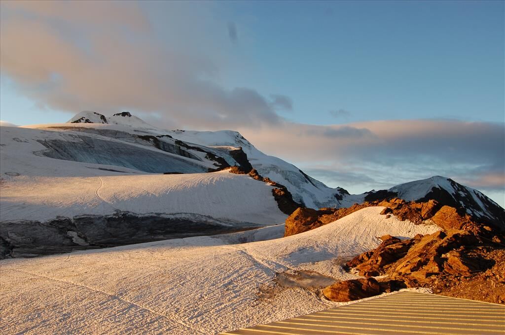
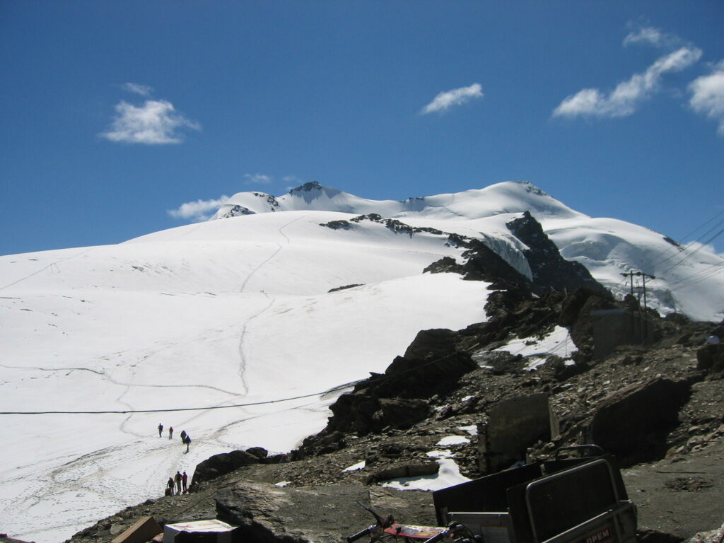
From Forni, take the road north, quite steep, that climbs up the mountain with some turns, until you reach trail S555 leading to Rifugio Pizzini. From there, continue uphill along the drivable road S528 until the cable car. You face a grand high mountain spectacle: on the left, the Zebru' passes and the Cima delle Pale Rosse; in front, the flat ridge, partially edged with ice; on the right, the snowy masses of Monte Cevedale and Pasquale. At 2744 m altitude, you pass by the now silted Cede'c Lakes. A steep stretch, and you are on a ridge. On the left, cross one of the source branches of the Cede'c stream and start climbing the steep slope in tight switchbacks. Soon you reach Passo del Cevedale, beyond which you descend to Rifugio Casati at 3254 m altitude. Slightly above is Rifugio Guasti, used in case of high attendance and as a winter refuge.


Niblogo - Alpe Ardof - Val Zebru' - Shepherd's Hut - Rifugio V Alpini
Mount Cevedale m.3769 With its 3769 m, it is the innermost and central point of the entire Valfurva mountain range and constitutes an important orographic node. From here depart the Thirteen summits that reach the characteristic pyramidal structure of Tresero, with a ridge 35 km long at altitudes above 3200 m.

Webové kamery z prehliadky

Aktivity počas prehliadky

Obľúbené výlety v okolí
-
4,5
Martellerhütte Höhenweg
strednáVysoké turné 8,70 km -
5,0
Martell-Tal Rundweg zur Marteller Hütte
svetloTuristika 10,8 km -
4,9
Plimaschlucht
svetloHorská turistika 7,23 km -
4,9
Lyfispitze
strednáTuristika 12,3 km -
3,9
Von Sulden zur Hinteren Schöntaufspitze
strednáTuristika 12,7 km -
3,7
Düsseldorfer Hütte 2721m
strednáTuristika 4,14 km -
3,7
Payerhütte 3020m
Turistika 6,98 km -
4,5
Tschengelser Hochwand Stelvio, Trentino-Alto Adige
strednáVia ferrata 14,3 km -
4,4
Sonnenaufgang auf der Rötelspitze im Nationalpark Stilfserjoch
Turistika 2,02 km -
5,0
Wanderung/Aufstieg zur Payerhütte
svetloTuristika 15,9 km
Turistika a stopovanie


Nenechajte si ujsť ponuky a inšpiráciu na ďalšiu dovolenku
Vaša e-mailová adresa bol pridaný do poštového zoznamu.





