


The Potholes Path
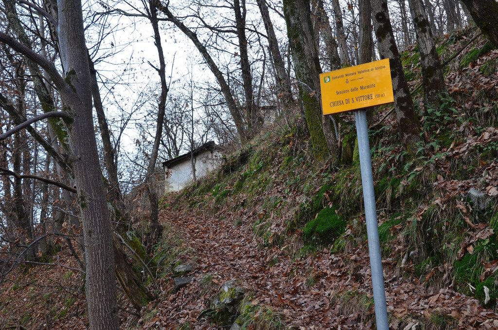
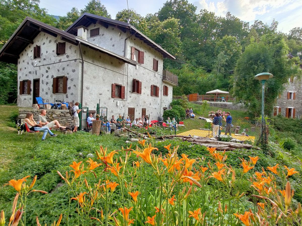
After leaving the car in the parking lot at Valbona, follow the sign that leads to the ascent path made up of an ancient and beautiful very steep cobbled mule track. Going up you will find the Church of...
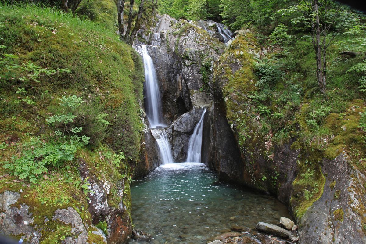
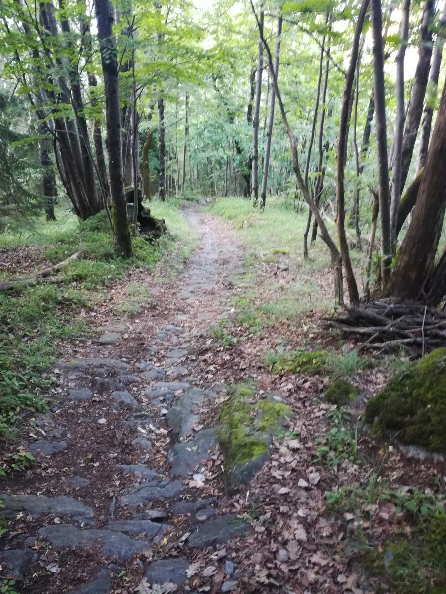
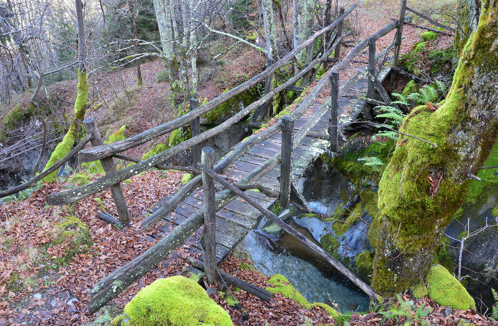
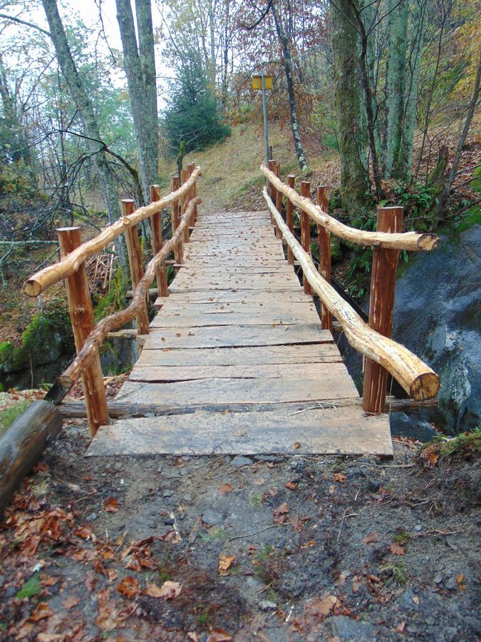
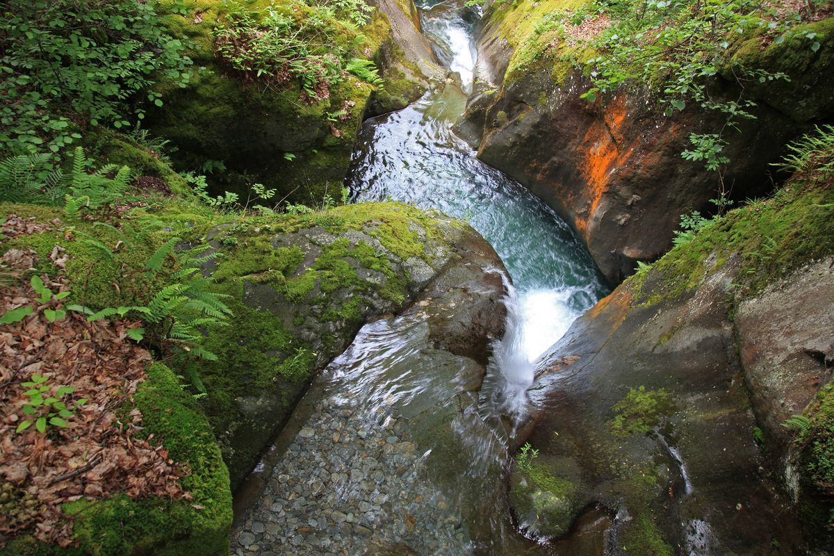
After leaving the car in the parking lot at Valbona, follow the sign that leads to the ascent path made up of an ancient and beautiful very steep cobbled mule track. Going up you will find the Church of S. Vittore. A little further on, a detour leads to the abandoned Bettoli district. A new small bridge over the Serio stream allows us to admire a very suggestive and unique spectacle in the Orobie: the giant potholes. The potholes, deep almost circular basins dug into the rock along the watercourse, are the result of the polishing action exerted over millennia by the water that flowed over the rocks under the glacier. Upon reaching the left bank, you can admire this fascinating spectacle by climbing along the bank of the stream. Great care is needed if the ground is wet, so it is not recommended to walk this path on humid or rainy days. Continuing along the path, you move away from the stream and rejoin the mule track, to follow it up to the dirt road; then descend to the starting point, following partly the mule track and partly the dirt road. Along this path there is a very particular and interesting vegetation which, unlike most Orobie valleys, is xerophilous, i.e. dry type. Along this path there are relatively few chestnut trees and the forest, unlike others in the Orobie area, consists mainly of oaks, birches, and larches.
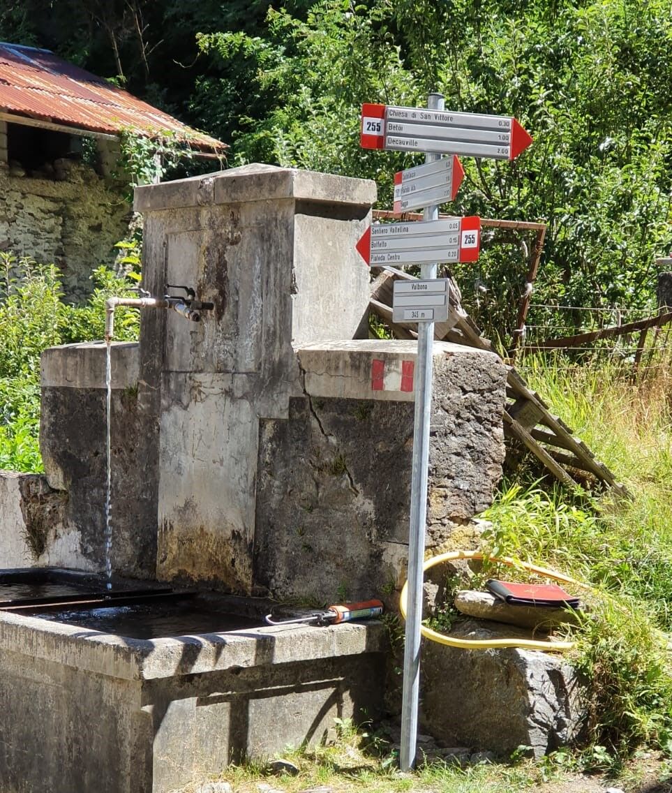

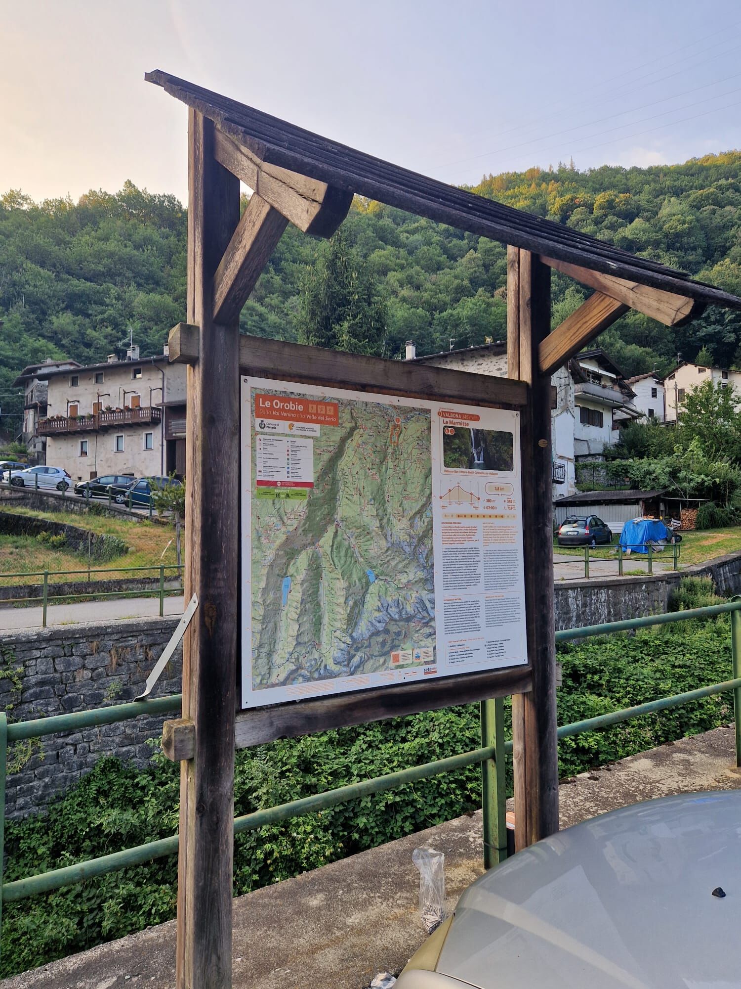
From Valbona follow the hiking and thematic signs
Hiking boots
Light hiking equipment
From Sondrio towards Piateda loc. Valbona
From Sondrio train station, bus line to Piateda
loc. Valbona
Great care is needed if the ground is wet, so it is not recommended to walk this path on humid or rainy days. Especially in these conditions avoid approaching the potholes.
The Marmitte are easily accessible also by climbing the dirt road to Castellaccio. Continue, staying left at the fork after Castellaccio, until the end of the dirt road where, after a short stretch, you can reach the Marmitte directly.
Obľúbené výlety v okolí
-
4,5
Rifugio Curo’ e lago del Barbellino - lago naturale del Barbellino - lago Gelt
ťažkéTuristika 26,4 km -
4,0
Valbondione-Curò
strednáTuristika 7,02 km -
Val dal Saient - Short version
Turistika 11,4 km -
4,0
Mufule' Lake Ring
strednáTuristika 5,49 km -
5,0
Brunone
strednáHorská turistika 15,0 km -
Cesta Valtellina
strednáCyklistika 113,2 km -
5,0
Bosio-Galli Refuge (from Piasci)
svetloTuristika 4,58 km -
3,0
Cima Meriggio
svetloTuristika 11,6 km -
Via Dei Terrazzamenti
strednádiaľková pešia trasa 74,1 km -
4,0
Poggi-Montagna Itinerary (GAL VALTELLINA call)
strednáTuristika 9,66 km

Turistika a stopovanie


Nenechajte si ujsť ponuky a inšpiráciu na ďalšiu dovolenku
Vaša e-mailová adresa bol pridaný do poštového zoznamu.