





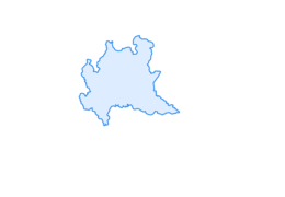

Malghera lakes circuit
Úroveň náročnosti: T3
Easy and panoramic loop route that develops along the section of the Sentiero Italia trail that goes into the upper part of the Sacco Valley, accessible both on foot and by MTB, starting and ending at...
Easy and panoramic loop route that develops along the section of the Sentiero Italia trail that goes into the upper part of the Sacco Valley, accessible both on foot and by MTB, starting and ending at the Malghera Refuge parking lot (1937 m). From the parking lot, follow the dirt road that enters the Upper Sacco Valley and shortly reaches the homonymous Casera. From here begins the mid-slope path which, with gentle slopes, enters the valley reaching the Pian di Mezzo locality (2150 m), where it crosses the stream, intersects the path leading to the Duilio Strambini bivouac (2537 m) and the Sacco Pass (2736 m), and continues in the opposite direction, still with constant but never excessive slopes, on the opposite side of the valley. Shortly, it rises to the panoramic terrace of the Pian Sortivo locality (2360 m), where it intersects the path to the beautiful Scalpellino lake (2480 m) and reaches the homonymous lake. The path continues slightly downhill to bypass the large boulders of a prominent moraine ridge, crosses a swampy area via a footbridge, then ascends to reach the highest point of the route (2368 m) at Pian del Lago, where there is a small wooden shelter used as a bivouac, the homonymous lake, and intersections with the trails to the Vermulera Pass (2733) and the continuation of the Sentiero Italia towards Biancadino Vermulera Eita. Our route instead leaves the easy path of the Sentiero Italia and begins a steep and more rugged descent on the slope towards the valley floor where it crosses the stream and returns to the Sacco Casera and the Malghera locality.
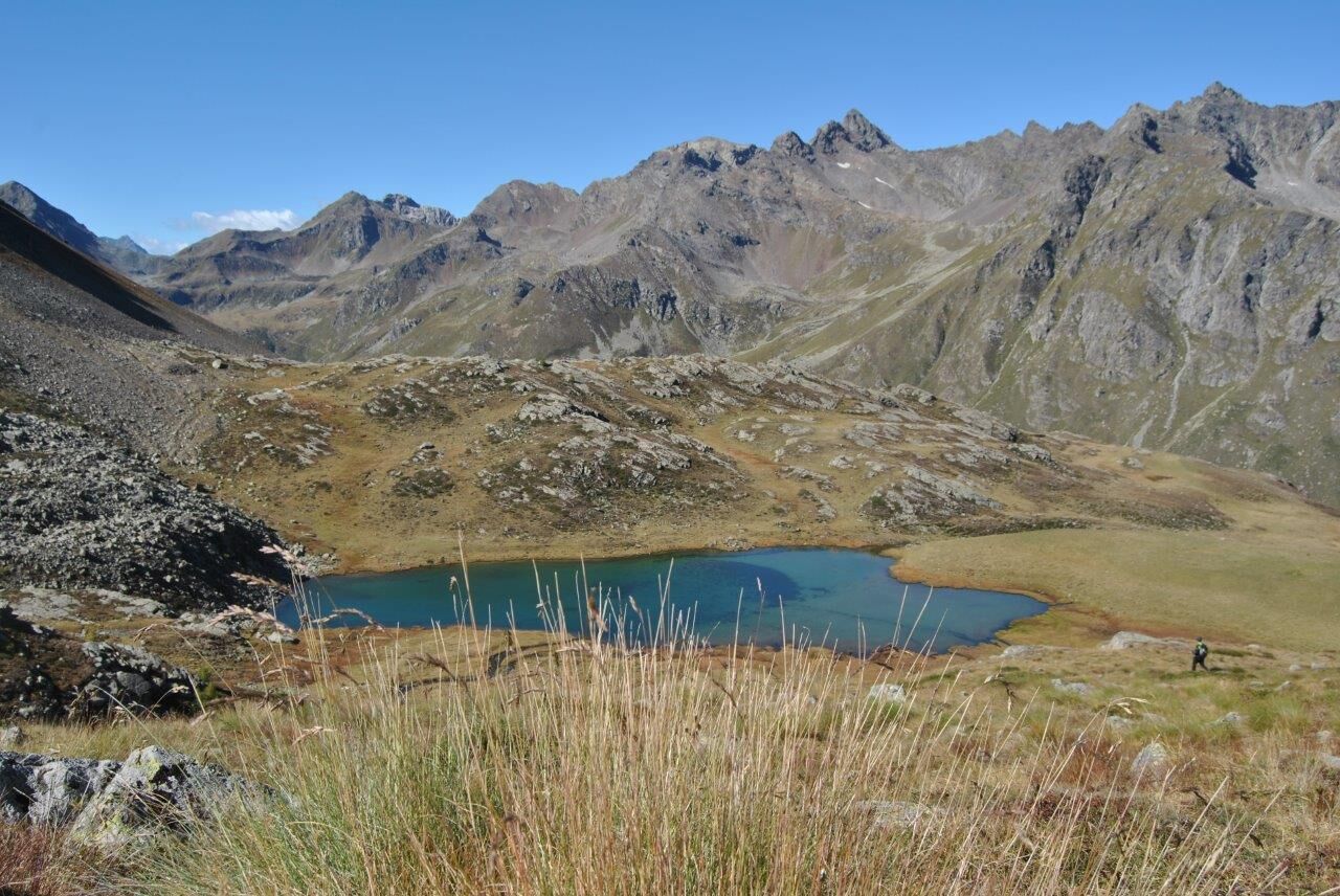

Malghera - Pian del Lago - Malghera
Malghera
T3
Získajte prehľad
Vždy naživo na mieste s viac ako 9 500 webovými kamerami. bergfex Ako používateľ Pro si teraz môžete pozrieť príslušné webové kamery pre mnohé zájazdy v aplikácii zájazdy z. Môžete si tak priamo prezerať aktuálne podmienky.
Obľúbené výlety v okolí
-
5,0
Mountain hike to Lagh da Saoseo
ťažkéTuristika 15,0 km -
5,0
Lagalb - Val Minor - Motta Bianca - Lagalb
strednáTuristika 9,80 km -
4,8
Val Nera Waterfalls
svetloTuristika 5,70 km -
5,0
Ospizio Bernina Station - Alp Grüm (-Cavaglia)
svetloTuristika 4,97 km -
4,5
Lago Bianco
Turistika 7,91 km -
4,5
53 Bernina Tour Switzerland: Stage 2 Bernina Pass-Diavolezza
strednáTuristika 8,67 km -
4,5
Da Sfazù a lago Saoseo
svetloTuristika 11,0 km -
Alp Grüm - Cavaglia - Poschiavo
strednáTuristika 9,41 km -
4,0
Giro del Lago - Le prese - Miralago
svetloTuristika 7,43 km -
5,0
53 Bernina Tour Switzerland: Stage 1 Poschiavo-Bernina Pass
strednáTuristika 14,6 km
Turistika a stopovanie


Nenechajte si ujsť ponuky a inšpiráciu na ďalšiu dovolenku
Vaša e-mailová adresa bol pridaný do poštového zoznamu.





