







Sentiero Italia D37N - Stage Rifugio Branca-Passo di Gavia

Úroveň náročnosti: T2
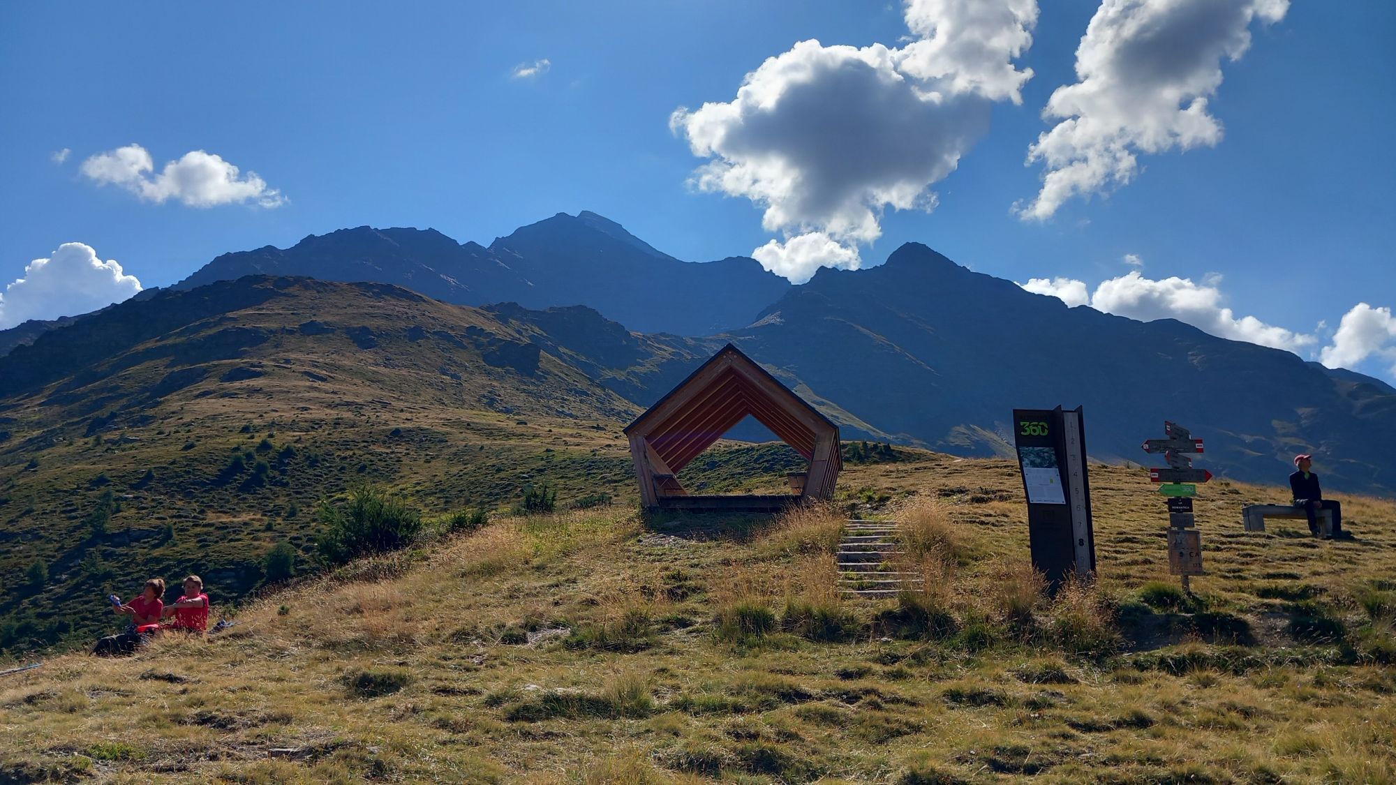
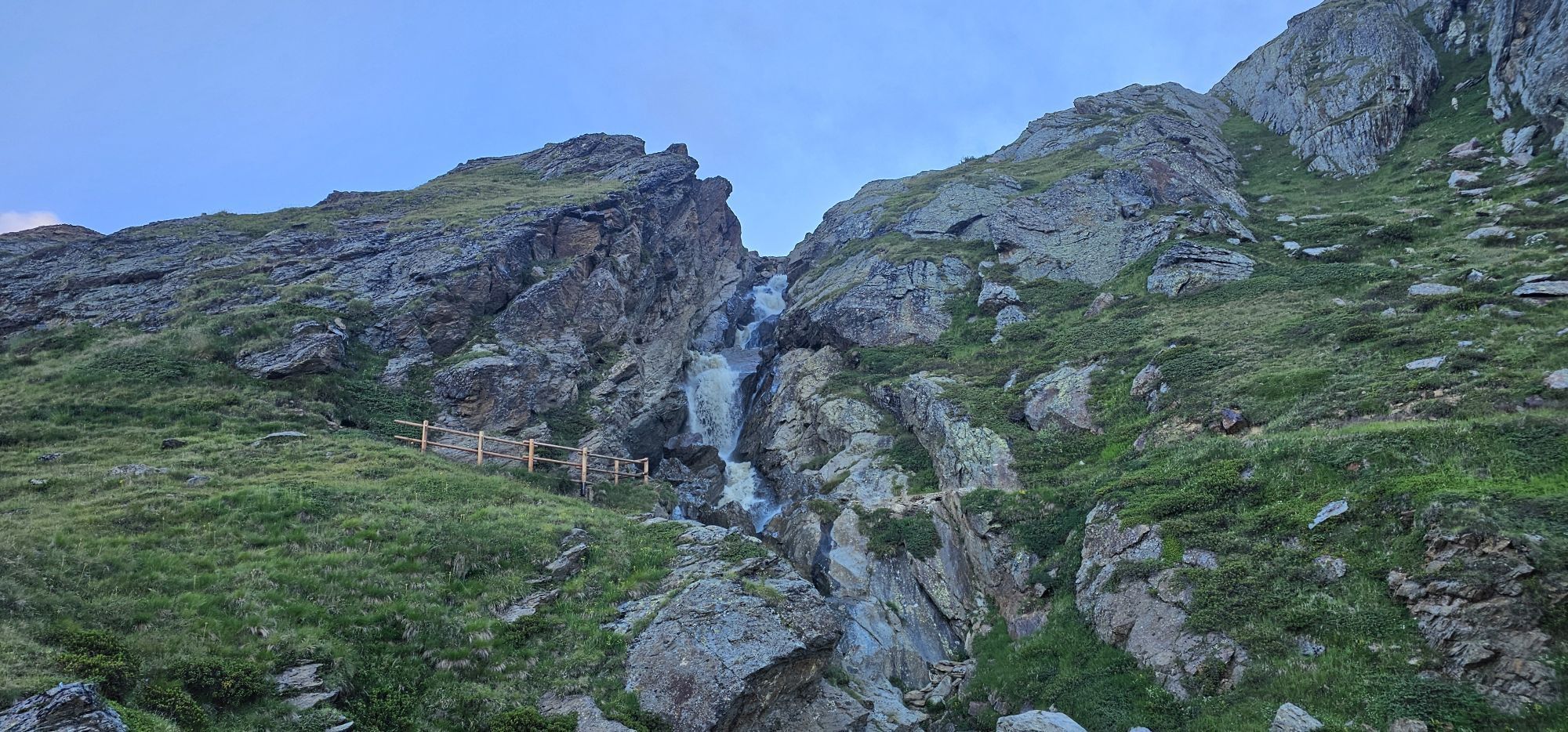
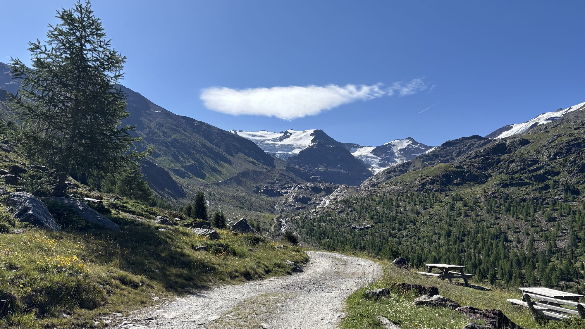
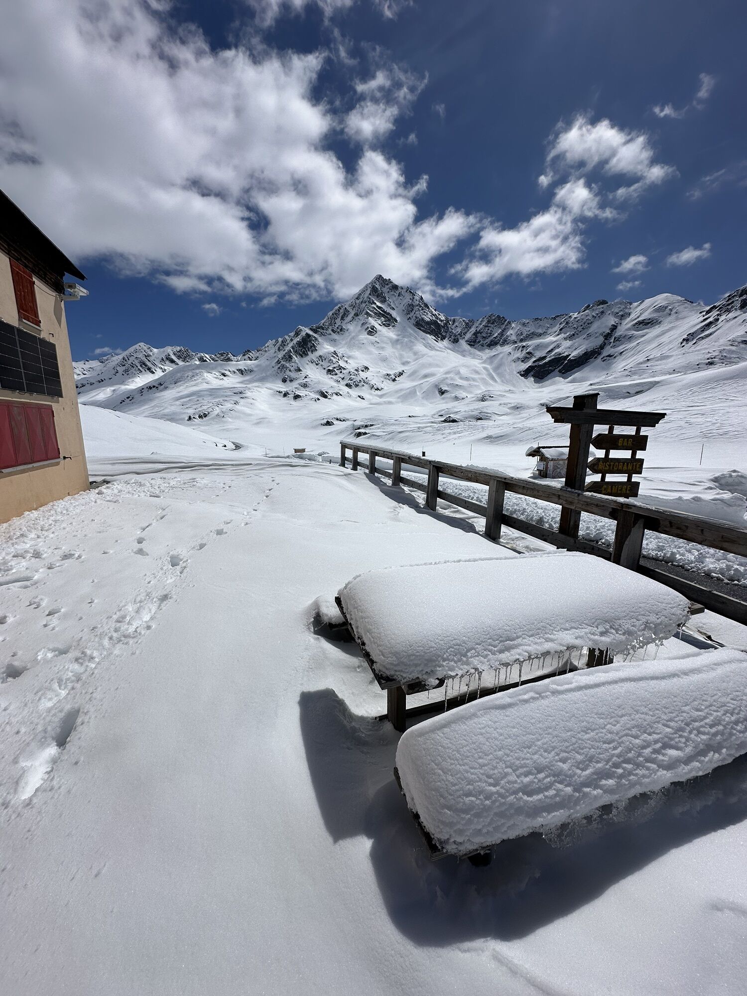
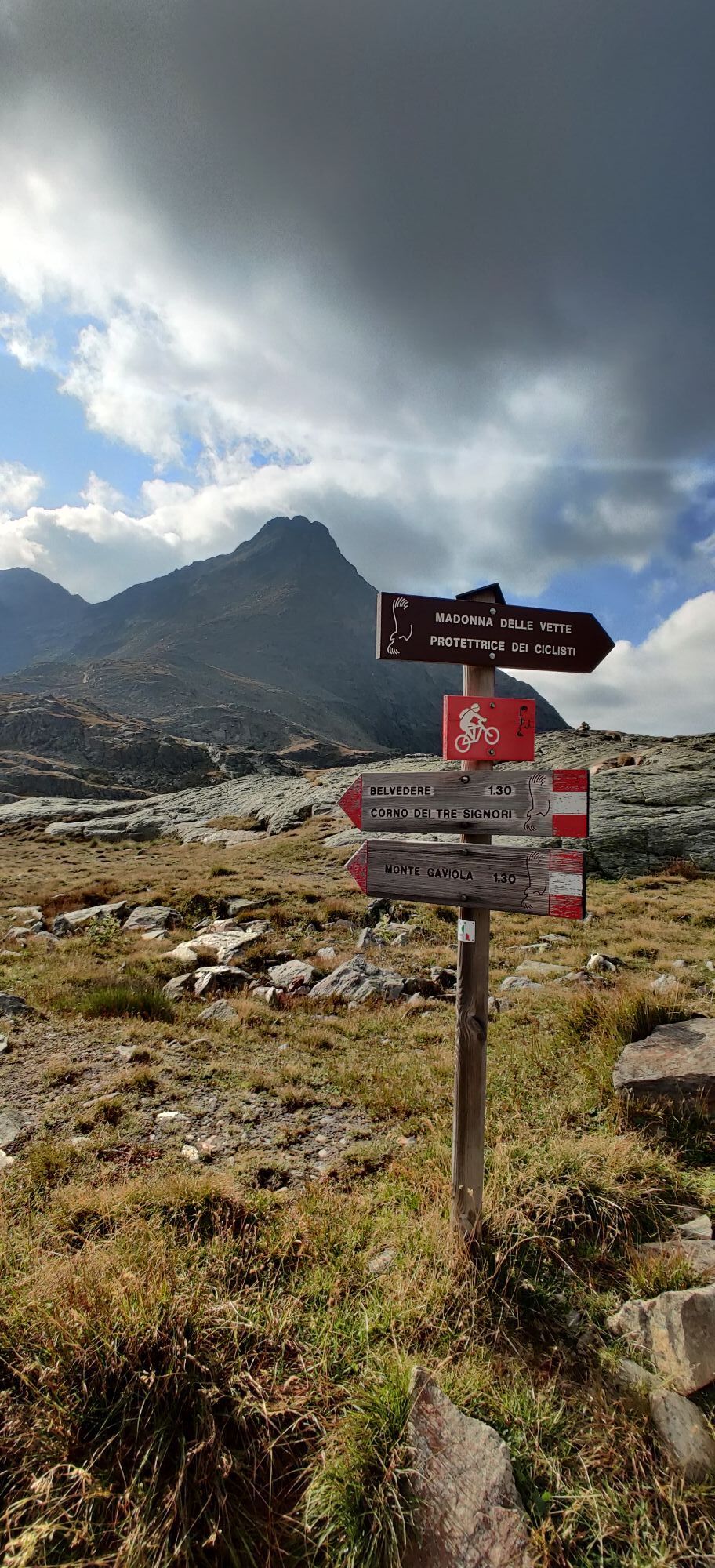
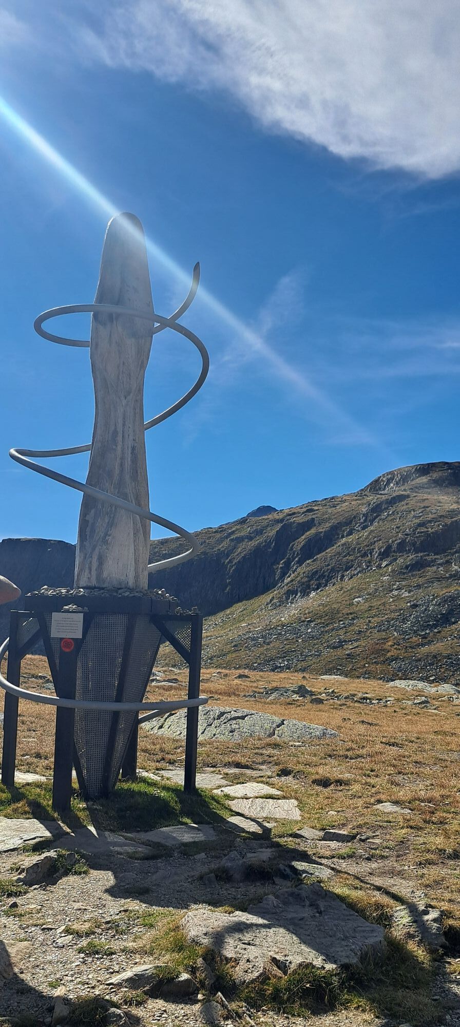
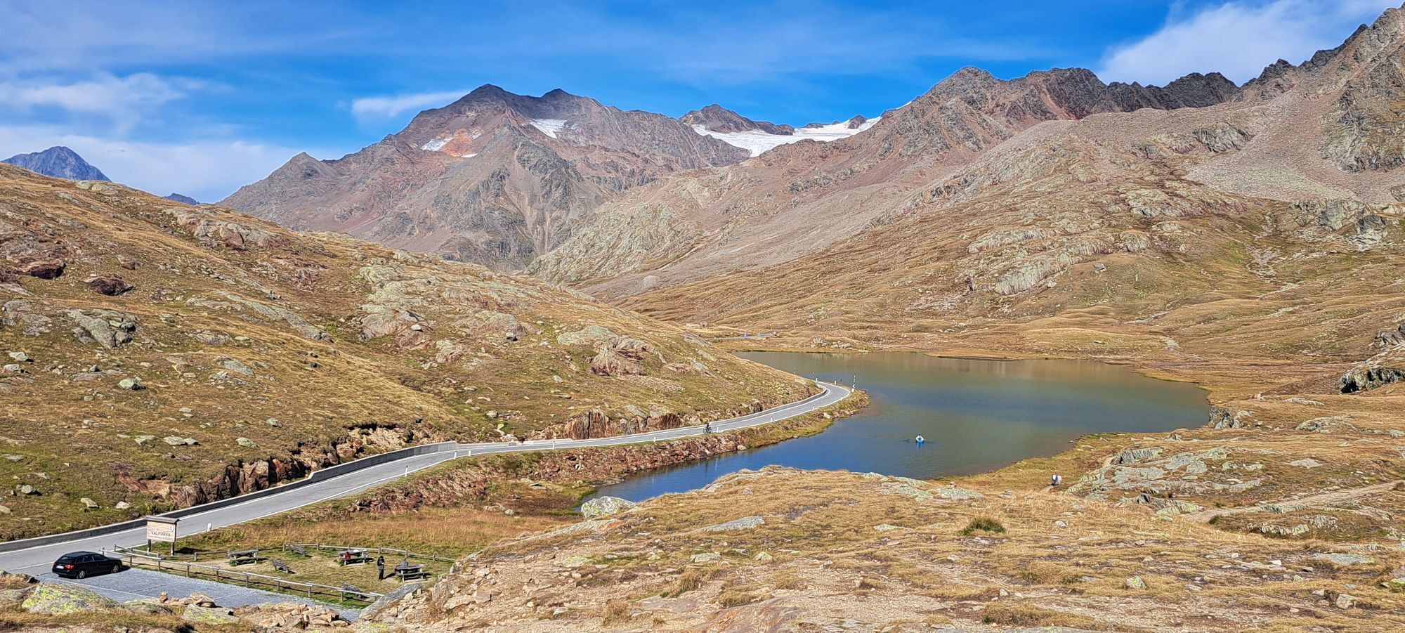
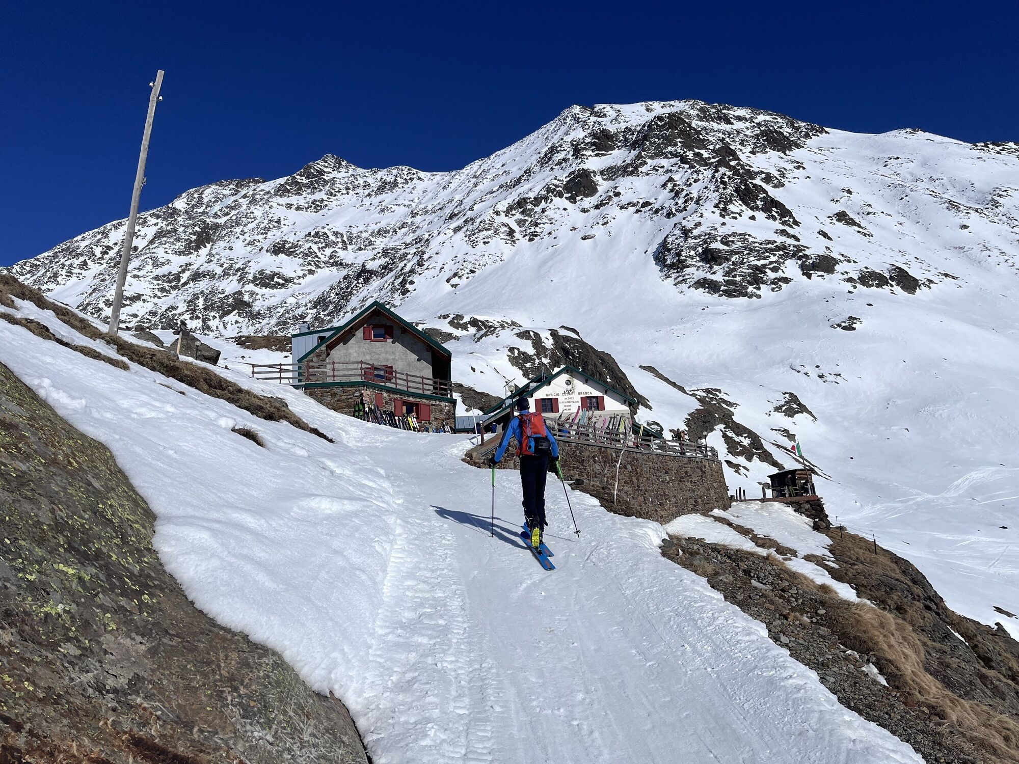
After a long series of long stages with high elevation gain, the penultimate one in Lombardy presents intermediate length and elevation gain. From the Rifugio Branca you descend towards Santa Caterina...
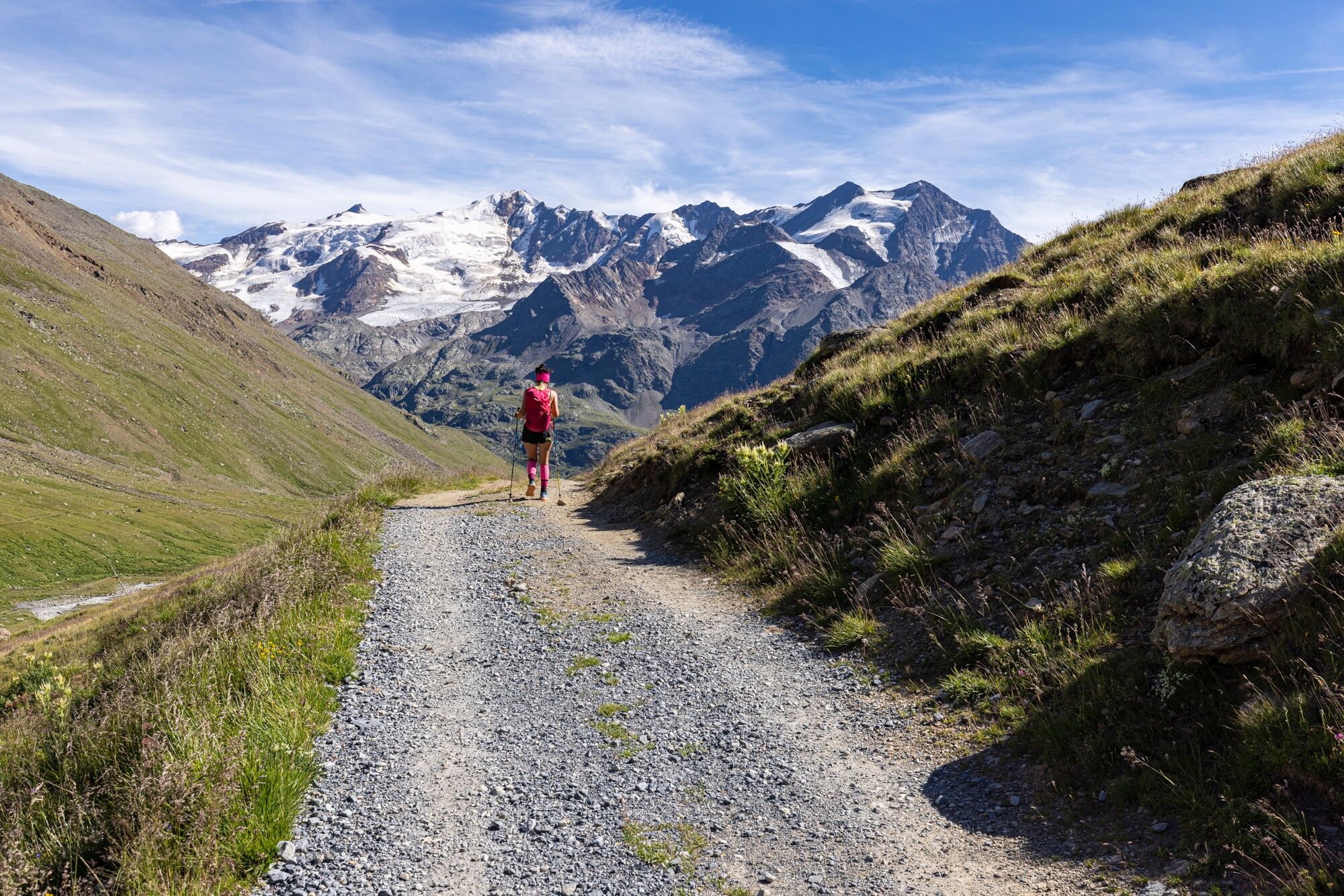
After a long series of long stages with high elevation gain, the penultimate one in Lombardy presents intermediate length and elevation gain. From the Rifugio Branca you descend towards Santa Caterina Valfurva on the left side of the valley passing through Malga Salettina continuing until you meet a path that climbs to the top of Dosso Tresero, avoiding descending to the valley along the road. From here you turn decidedly south along the valley leading to Passo Gavia encountering the state road at certain points and continuing along a path that cuts across the hairpin bends up to the pass.

Rifugio Branca - Passo di Gavia
T2

Webové kamery z prehliadky


Obľúbené výlety v okolí
-
4,5
Martellerhütte Höhenweg
strednáVysoké turné 8,70 km -
5,0
Martell-Tal Rundweg zur Marteller Hütte
svetloTuristika 10,8 km -
4,9
Plimaschlucht
svetloHorská turistika 7,23 km -
3,9
Von Sulden zur Hinteren Schöntaufspitze
strednáTuristika 12,7 km -
3,7
Payerhütte 3020m
Turistika 6,98 km -
5,0
Wanderung/Aufstieg zur Payerhütte
svetloTuristika 15,9 km -
4,3
Obervinschgau - Madritschjoch, der höchste Transalp Übergang
Mountainbike 9,54 km -
5,0
Ortler über Meraner Weg (vom Tal/Trafoi)
ťažkéVysoké turné 11,9 km -
4,5
Ortler – Normalweg
ťažkéVysoké turné 7,30 km -
4,7
Stilfs - Stelvio - Madritschspitze - Cima Madriccio
ťažkéTuristika 16,3 km
Turistika a stopovanie


Nenechajte si ujsť ponuky a inšpiráciu na ďalšiu dovolenku
Vaša e-mailová adresa bol pridaný do poštového zoznamu.





