







The mule track of Val Madre
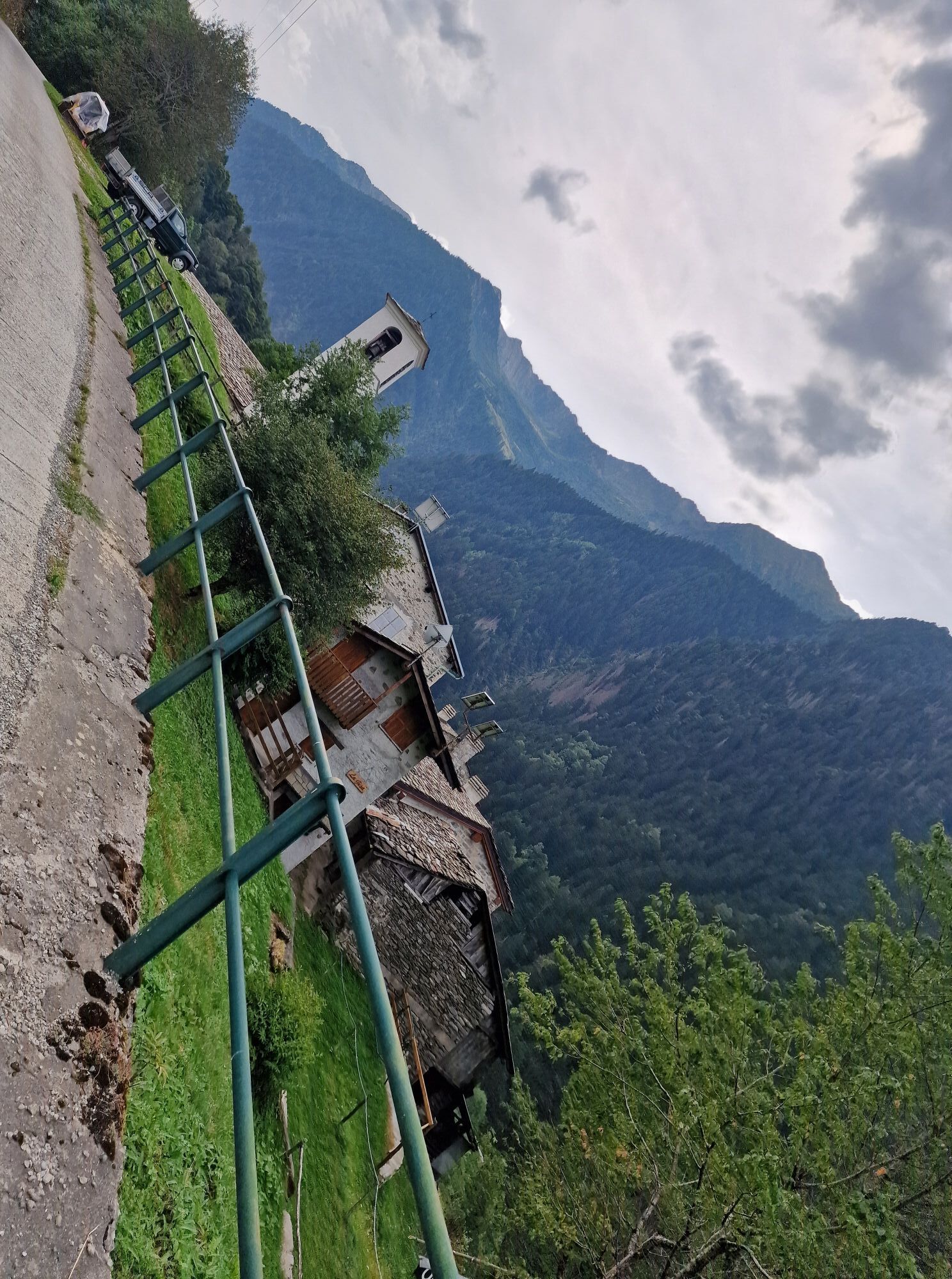
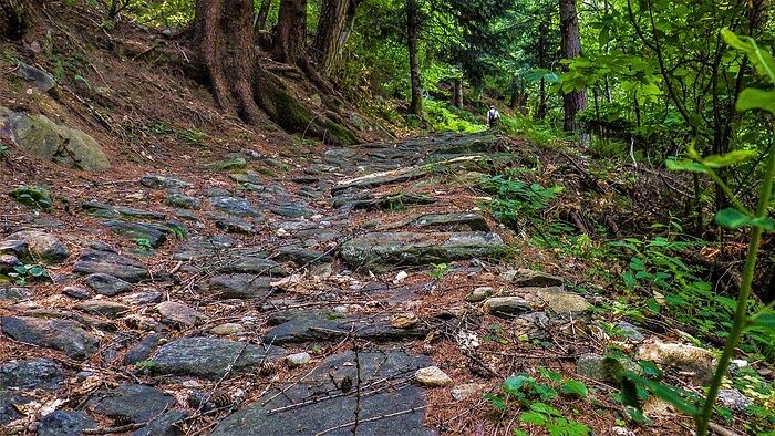
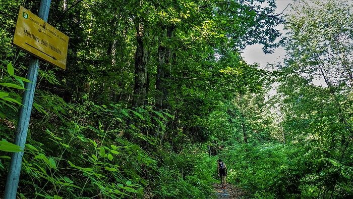
The beautiful paved mule track starts from the center of Fusine and climbs through the forest until it meets the asphalt road which is followed for a very short stretch. The path is then taken again on...
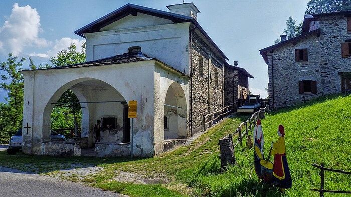
The beautiful paved mule track starts from the center of Fusine and climbs through the forest until it meets the asphalt road which is followed for a very short stretch. The path is then taken again on the left until reaching the church of the Madonnina and from here continue along the road for two hairpin bends up to the height of some houses. On the right, the mule track is resumed; at the fork, continue on the right to the houses of Ronco and the meadows of Dosso di Sotto. Just before Pizzabella, the mule track was destroyed by a landslide in 1987. Upon reaching Pizzabella, take the carriage road that enters the valley and leads to the core of Valmadre. On the return, follow the carriage road, pass Pizzabella, and continue to the meadows of Dosso di Sopra from where a beautiful path starts that, after a series of hairpin bends, leads to Dosso di Sotto. From this point, follow the mule track again. Until the early twentieth century, the exploitation of iron veins was very flourishing and numerous furnaces were present in Valmadre. The progressive increase in extraction and transport costs caused the end of mining activity and consequently the population abandoned the mountain. Valmadre was once at the center of intense commercial exchanges between the local populations and those of Bergamo through the Dordona Pass (2061 m), entirely traversed by the mule track. Until the 15th century, the path that crossed Valmadre climbed among inaccessible cliffs; the transit of horses and cattle was very difficult and therefore iron, dairy products, wine, and handicrafts were carried on the shoulders by men. Around 1500, the mule track was built, and the Duke of Milan imposed a tax on goods passing through the Dordona Pass. The carriage road that reaches Valmadre was built in 1980.

Obľúbené výlety v okolí
-
Rifugio Bosio-Galli (from Primolo)
strednáTuristika 8,35 km -
5,0
Fusine-Dordona Pass (MTB-EMTB)
svetloMountainbike 20,4 km -
5,0
Bosio-Galli Refuge (from Piasci)
svetloTuristika 4,58 km -
4,2
Il Bivacco - Bivacco Pedrinelli - Passo di Publino - Pizzo Zerna
ťažkéTuristika 15,9 km -
3,0
Cima Meriggio
svetloTuristika 11,6 km -
5,0
Via Priula da Mezzoldo a Ca’ San Marco
svetloTuristika 9,65 km -
5,0
Costiera dei Cech among forests, vineyards and villages
strednáTuristika 5,43 km -
5,0
Dazio's Colmen - A Mediterranean oasis in the midst of the Alps
svetloTuristika 5,62 km -
Via Dei Terrazzamenti
strednádiaľková pešia trasa 74,1 km -
Predarossa Valley, extraordinary high-altitude landscape
strednáTuristika 4,26 km
Turistika a stopovanie


Nenechajte si ujsť ponuky a inšpiráciu na ďalšiu dovolenku
Vaša e-mailová adresa bol pridaný do poštového zoznamu.





