






The path of the ancient districts
Starting from the Moia district and the parking lot, following the signs, you reach the Marescialli district from where the path begins that initially passes in front of a washhouse. The path leads into...
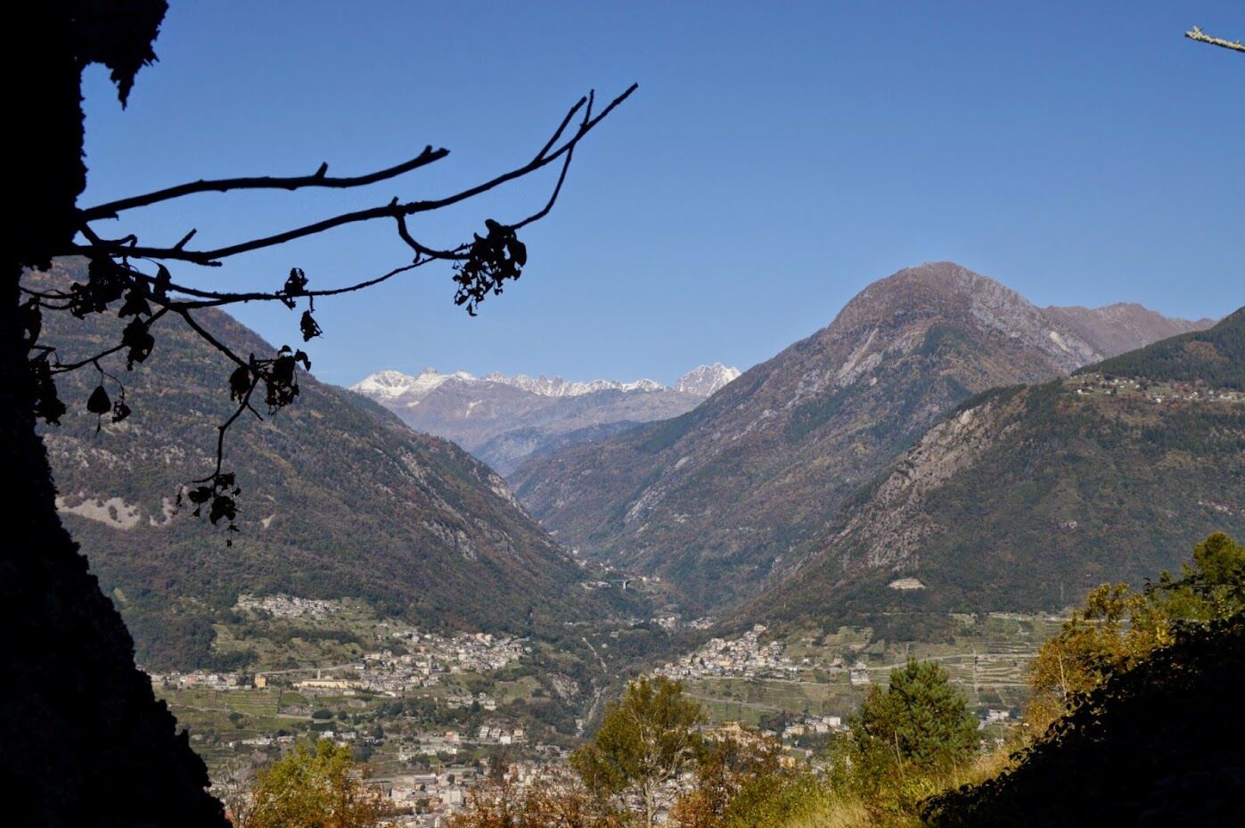
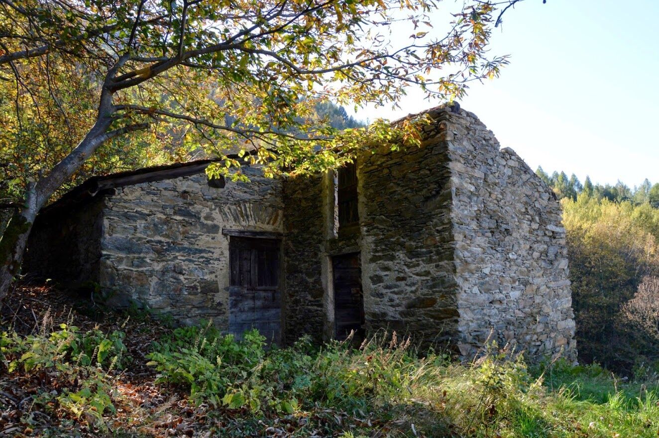
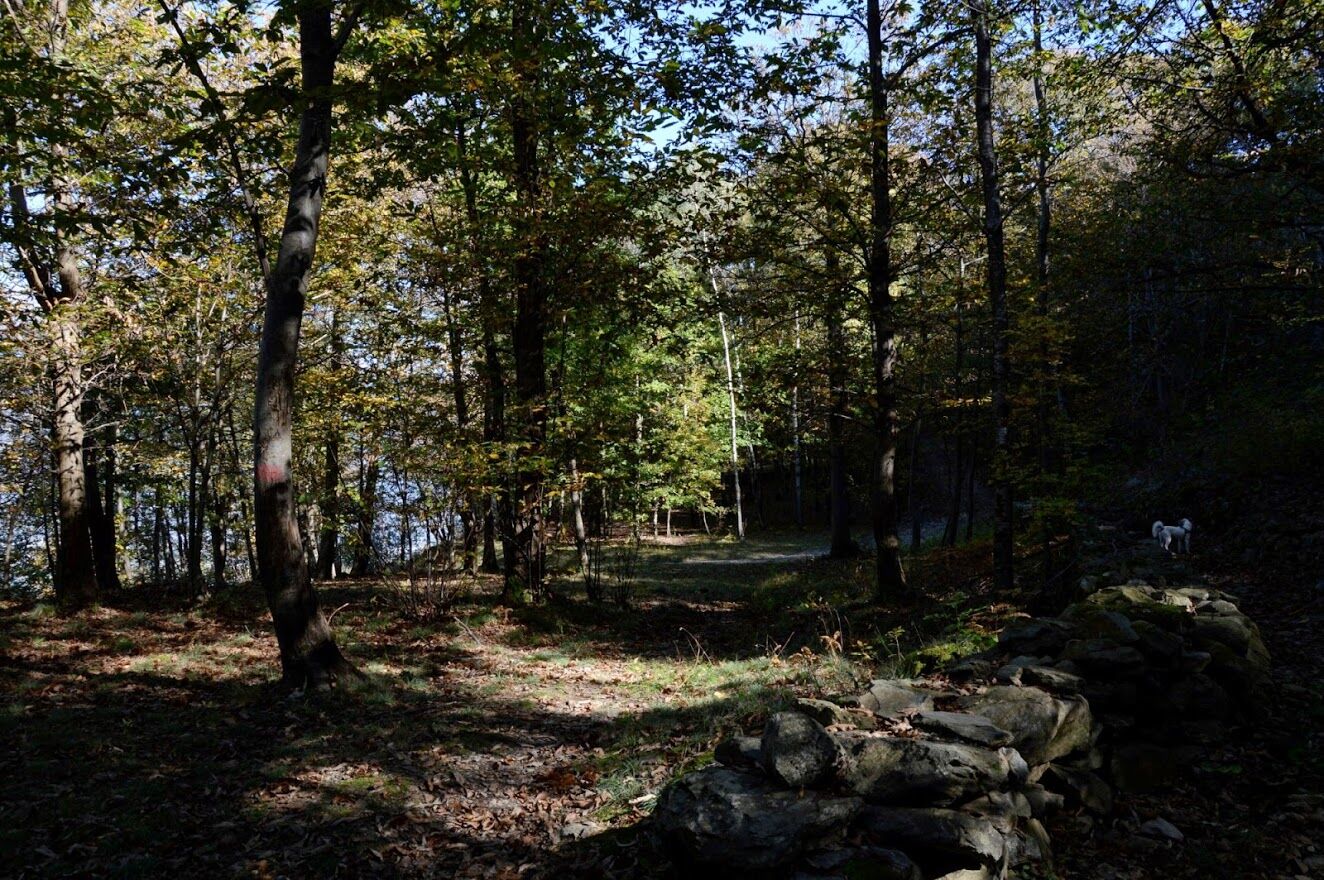
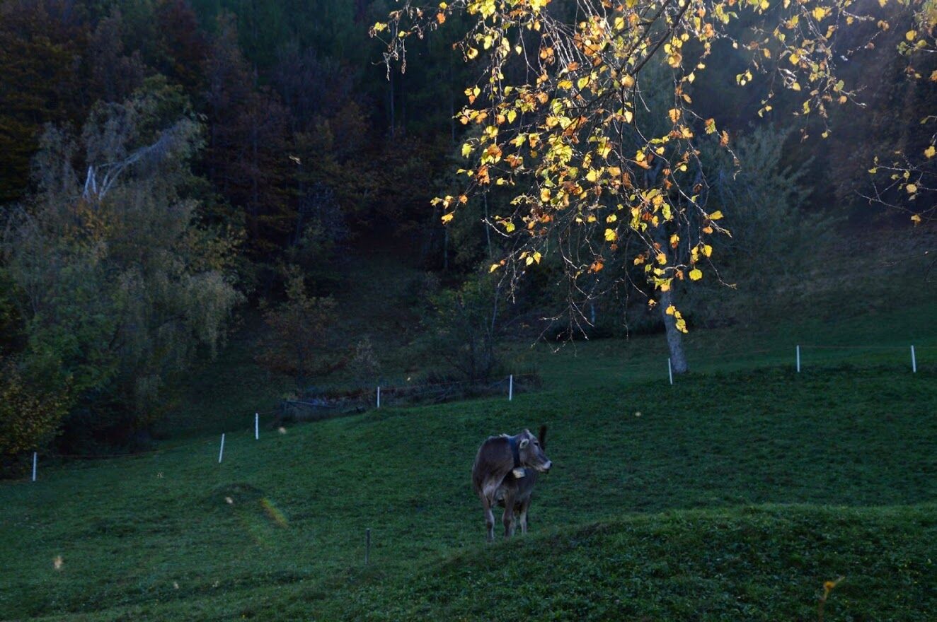
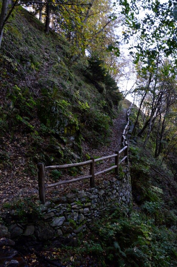
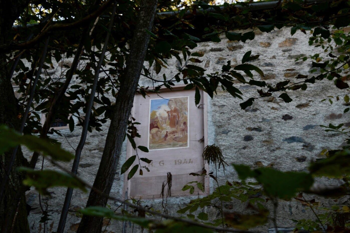
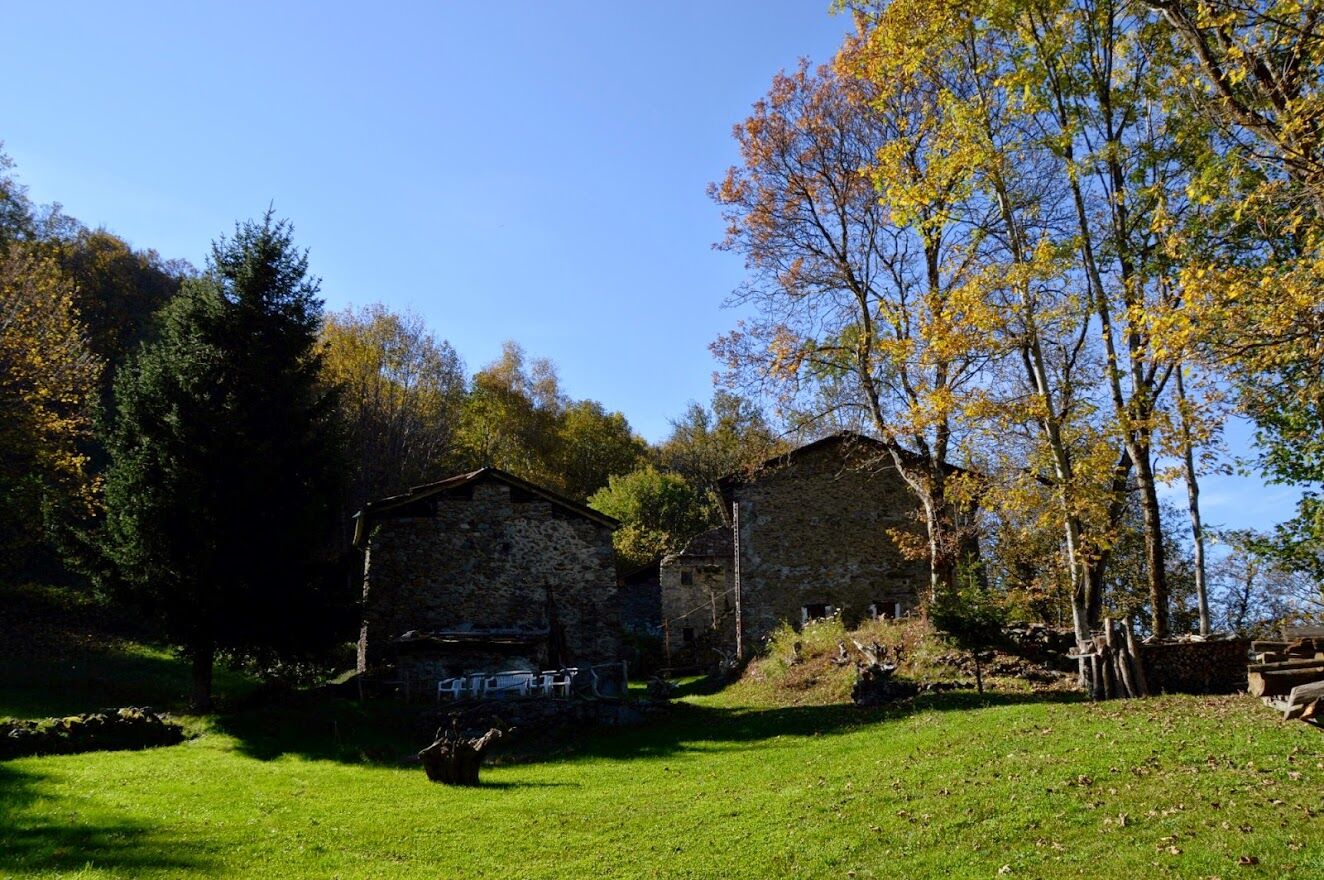
Starting from the Moia district and the parking lot, following the signs, you reach the Marescialli district from where the path begins that initially passes in front of a washhouse. The path leads into the forest that takes you to Gandola. In the Ravasciolo locality, it is possible to make a detour to observe one of the many small semi-mountain residential clusters that were once used as haylofts and for housing livestock before going up to the alpine pasture. Until a few years ago, the meadows were much more extensive and the view of Sondrio and the valley floor was not obscured by trees which today, due to the progressive abandonment of meadows and mountain pastures, are reclaiming their natural space. The route climbs along a very well-marked mule track until reaching the meadows and houses of Paganoni, located on a very panoramic plain. From here you can admire the suggestive and majestic spectacle of Valmalenco, with Pizzo Scalino, the Bernina group with Pizzo Palù, the Scerscen and Roseg, and the Disgrazia group. If the day is clear, the view towards the lower Valtellina and towards the upper valley is very long. From here you continue along the path that leads to the Romeri district passing through a forest mainly made up of oaks, born on an ancient landslide. From Ca' di Romeri the path descends towards Giambelli and returns to the starting point passing through the numerous humid forests typical of the Orobie valleys.

Moia
The districts and the forest.
Získajte prehľad
Vždy naživo na mieste s viac ako 9 500 webovými kamerami. bergfex Ako používateľ Pro si teraz môžete pozrieť príslušné webové kamery pre mnohé zájazdy v aplikácii zájazdy z. Môžete si tak priamo prezerať aktuálne podmienky.
Obľúbené výlety v okolí
-
5,0
Brunone
strednáHorská turistika 15,0 km -
5,0
Carona - Rifugio Fratelli Calvi - Portulino - Monte Madonnino
ťažkéTuristika 25,6 km -
Cesta Valtellina
strednáCyklistika 113,2 km -
Rifugio Bosio-Galli (from Primolo)
strednáTuristika 8,35 km -
5,0
Fusine-Dordona Pass (MTB-EMTB)
svetloMountainbike 20,4 km -
5,0
Bosio-Galli Refuge (from Piasci)
svetloTuristika 4,58 km -
4,2
Il Bivacco - Bivacco Pedrinelli - Passo di Publino - Pizzo Zerna
ťažkéTuristika 15,9 km -
3,0
Cima Meriggio
svetloTuristika 11,6 km -
Via Dei Terrazzamenti
strednádiaľková pešia trasa 74,1 km -
4,0
Poggi-Montagna Itinerary (GAL VALTELLINA call)
strednáTuristika 9,66 km
Turistika a stopovanie


Nenechajte si ujsť ponuky a inšpiráciu na ďalšiu dovolenku
Vaša e-mailová adresa bol pridaný do poštového zoznamu.





