


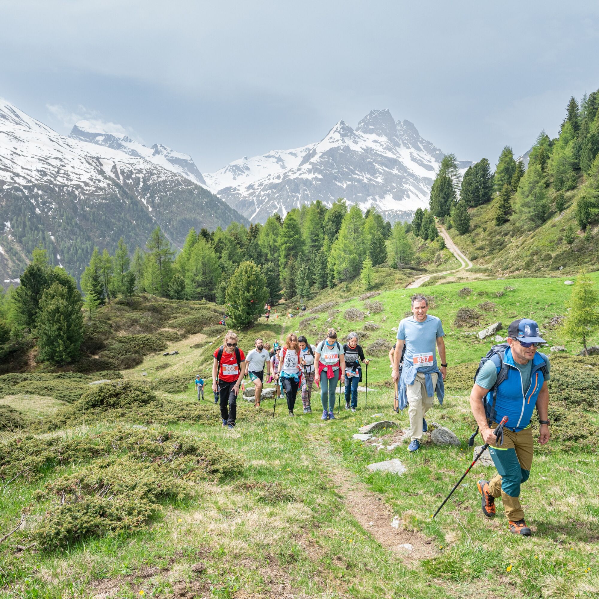
TrailRun Alta Valtellina - Walk
With an extraordinary naturalistic backdrop, the TrailRun promises an unforgettable day for the whole family, starting at 9 a.m., with various options to choose from: the 21-kilometer long race, competitive...
Walk with refreshments
Usual appointment for Val Viola lovers with the non-competitive walk: a guided experience within everyone's reach of about 6.5 km, with refreshments
Registration will open soon > find out all the details at trailrunaltavaltellina.it


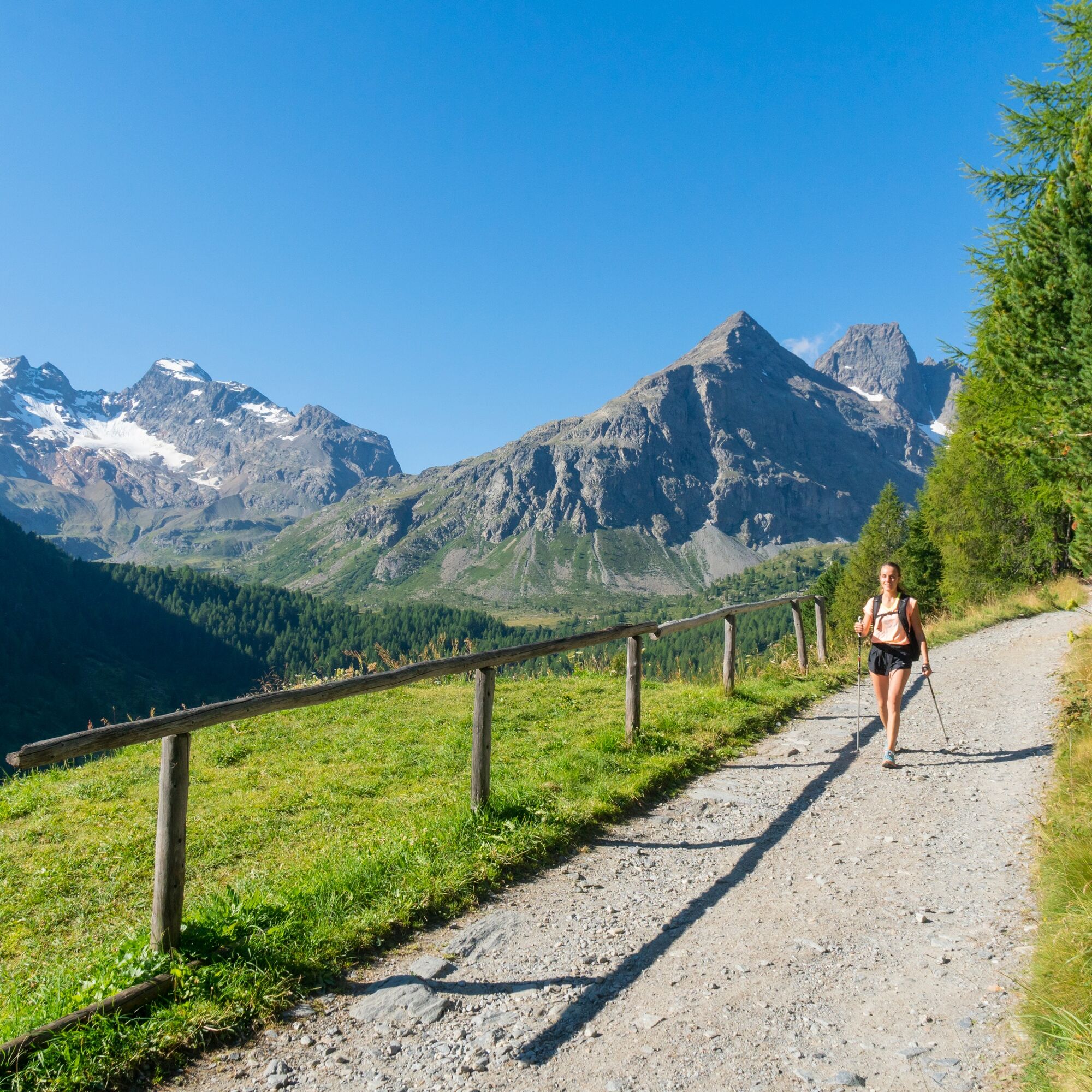
Follow the SS. 38 Foscagno road that leads from Bormio in the direction of Livigno, passing through Valdidentro.
Áno
No specific equipment is required.
Participants will be accompanied by a guide.
To reach Arnoga, drive along the SS 38 Foscagno road that leads from Bormio in the direction of Livigno, passing through Valdidentro.
A free shuttle service departing from Isolaccia is provided for participants in the TrailRun Alta Valtellina event.
Info c/o Valdidentro Tourist Office - tel. 0342 985331
Arnoga locality - parking lot with very small spaces
The use of poles or ski poles is recommended.
This is an unmissable experience that best combines sports, gastronomy and nature!
Obľúbené výlety v okolí
-
5,0
Mountain hike to Lagh da Saoseo
ťažkéTuristika 15,0 km -
5,0
Crap da la Pare' with Joëlette
svetloTuristika 4,58 km -
4,5
Stelvio Epic Rides: Passo dello Stelvio
ťažkéCestný bicykel 20,9 km -
5,0
Val Nera Waterfalls
svetloTuristika 5,70 km -
4,2
Val Federia Livigno
strednáElektronický bicykel 26,5 km -
5,0
444.02: Nationalpark Bike-Tour 2. Etappe
ťažkéMountainbike 39,6 km -
4,5
Da Sfazù a lago Saoseo
svetloTuristika 11,0 km -
Mount of Mines
strednáSkitour 4,78 km -
Val da Camp (724)
strednáTuristika 5,33 km -
5,0
Monte Scale Loop
strednáTuristika 7,53 km
Turistika a stopovanie


Nenechajte si ujsť ponuky a inšpiráciu na ďalšiu dovolenku
Vaša e-mailová adresa bol pridaný do poštového zoznamu.