




Stelvio Natural Winter Walk: Spring Trail

Úroveň náročnosti: 4
From the La Fonte center, continue on the left side of the trail, thus climbing the Cevedale trail for a few meters. The path continues into the woods, gently ascending for 3 km until reaching the Plaghera...
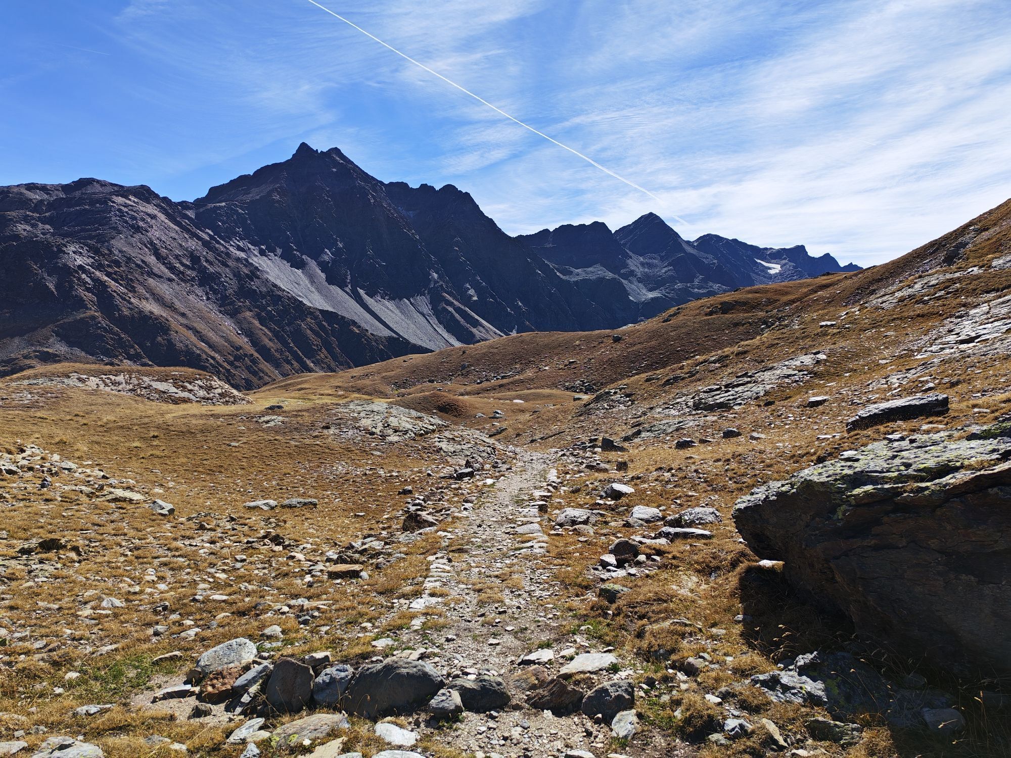
From the La Fonte center, continue on the left side of the trail, thus climbing the Cevedale trail for a few meters. The path continues into the woods, gently ascending for 3 km until reaching the Plaghera locality. Here you find yourself entirely immersed in the woods until you reach the junction that leads to Rifugio Paradiso and Rifugio 2000, where it is possible to stop for a break. You can return to town on foot, following the same route, or by the Paradiso chairlift.


The signs indicate Rifugio Paradiso.
Follow:
- The pink ribbons placed on trees and signposts;
- Any directional signs placed at main crossroads;
- The beaten track, where present.
- In case of heavy snow, the ribbons remain the main reference to maintain the correct orientation along the Tour de Lëcia.
Waterproof winter trekking boots
Telescopic poles with snow baskets
Technical and breathable layered clothing
Waterproof and windproof jacket
Gloves, hat, and sunglasses
Sunscreen (even in winter)
Backpack with water and energy snacks
In case of variable conditions, light crampons are recommended in the backpack.
Be careful in case of heavy fresh snow or icy sections.
Do not leave the marked trail.
Avoid the route in case of poor visibility.
Inform someone of your itinerary before leaving.
In case of emergency: European single number 112.
4
Do not disturb wildlife and keep a suitable distance in case of sightings.
Do not leave waste.
Keep dogs on a leash, where allowed.
Avoid loud noises and music to not disturb the natural environment.
Stop in the panoramic clearings to observe the landscape and listen to the silence of the woods.
After a recent snowfall, the route takes on an even more suggestive charm, but always check the conditions before setting off.
Also ideal as a guided experience to deepen the naturalistic and environmental aspects of the Park.

Obľúbené výlety v okolí
-
3,9
Von Sulden zur Hinteren Schöntaufspitze
strednáTuristika 12,7 km -
3,7
Payerhütte 3020m
Turistika 6,98 km -
4,4
Sonnenaufgang auf der Rötelspitze im Nationalpark Stilfserjoch
Turistika 2,02 km -
5,0
Wanderung/Aufstieg zur Payerhütte
svetloTuristika 15,9 km -
4,3
Obervinschgau - Madritschjoch, der höchste Transalp Übergang
Mountainbike 9,54 km -
5,0
Ortler über Meraner Weg (vom Tal/Trafoi)
ťažkéVysoké turné 11,9 km -
4,6
Stilfs - Stelvio - Madritschspitze - Cima Madriccio
ťažkéTuristika 16,3 km -
4,5
Ortler – Normalweg
ťažkéVysoké turné 7,30 km -
5,0
Ortler über Hintergrat
ťažkéVysoké turné 8,03 km -
3,5
Watervallen wandeling
svetloTuristika 4,95 km
Turistika a stopovanie


Nenechajte si ujsť ponuky a inšpiráciu na ďalšiu dovolenku
Vaša e-mailová adresa bol pridaný do poštového zoznamu.


