







Nidwalden High Trail
Úroveň náročnosti: T3
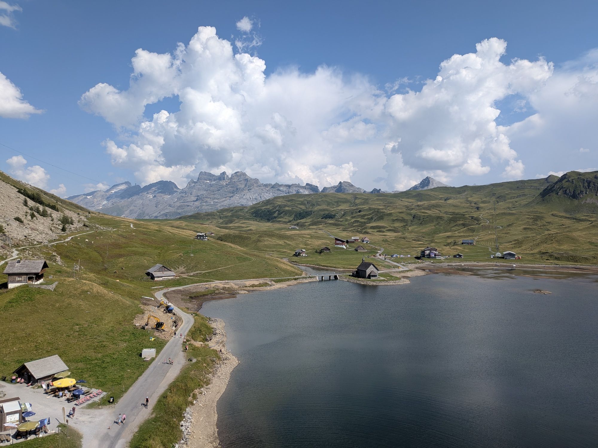
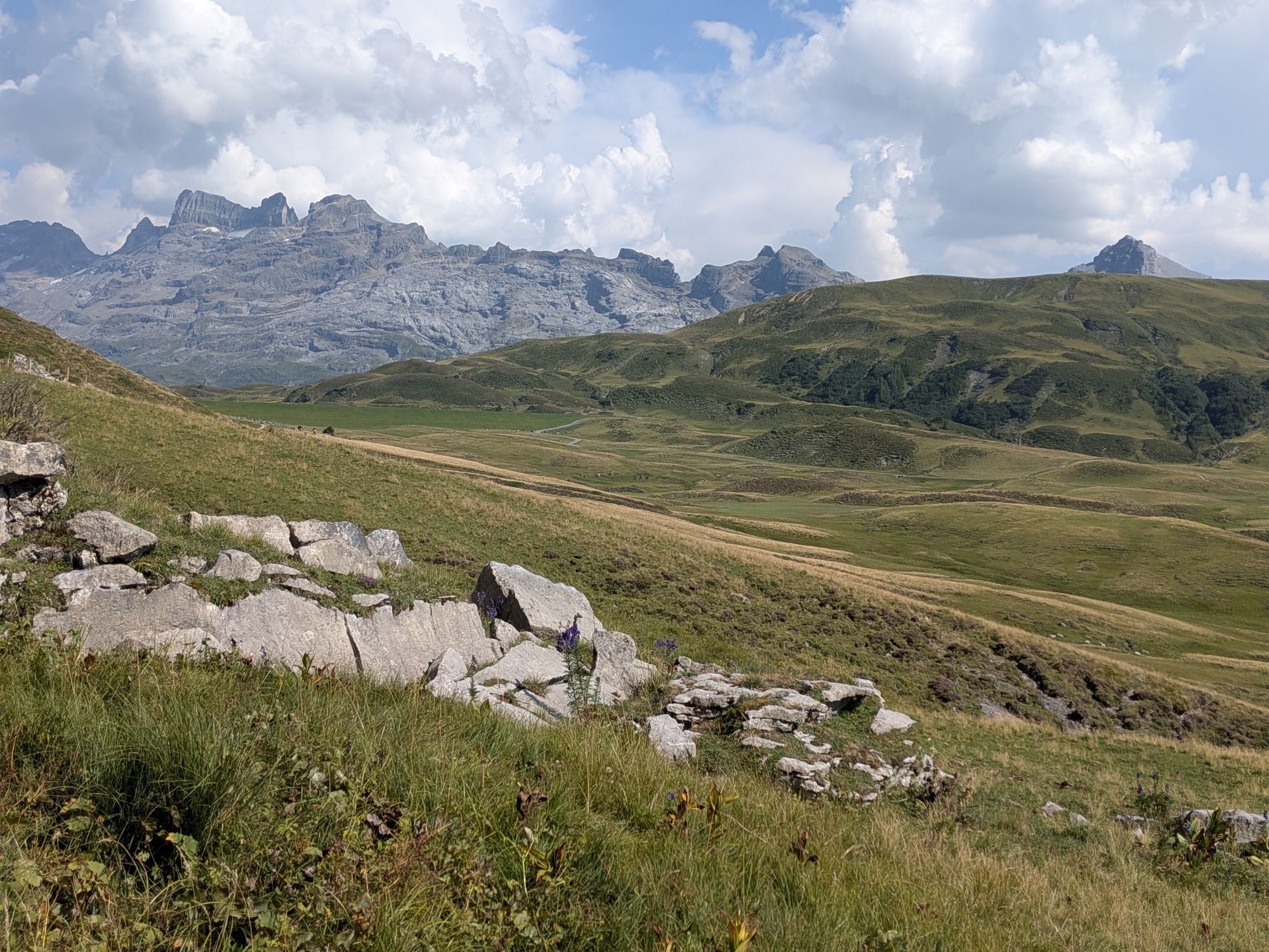
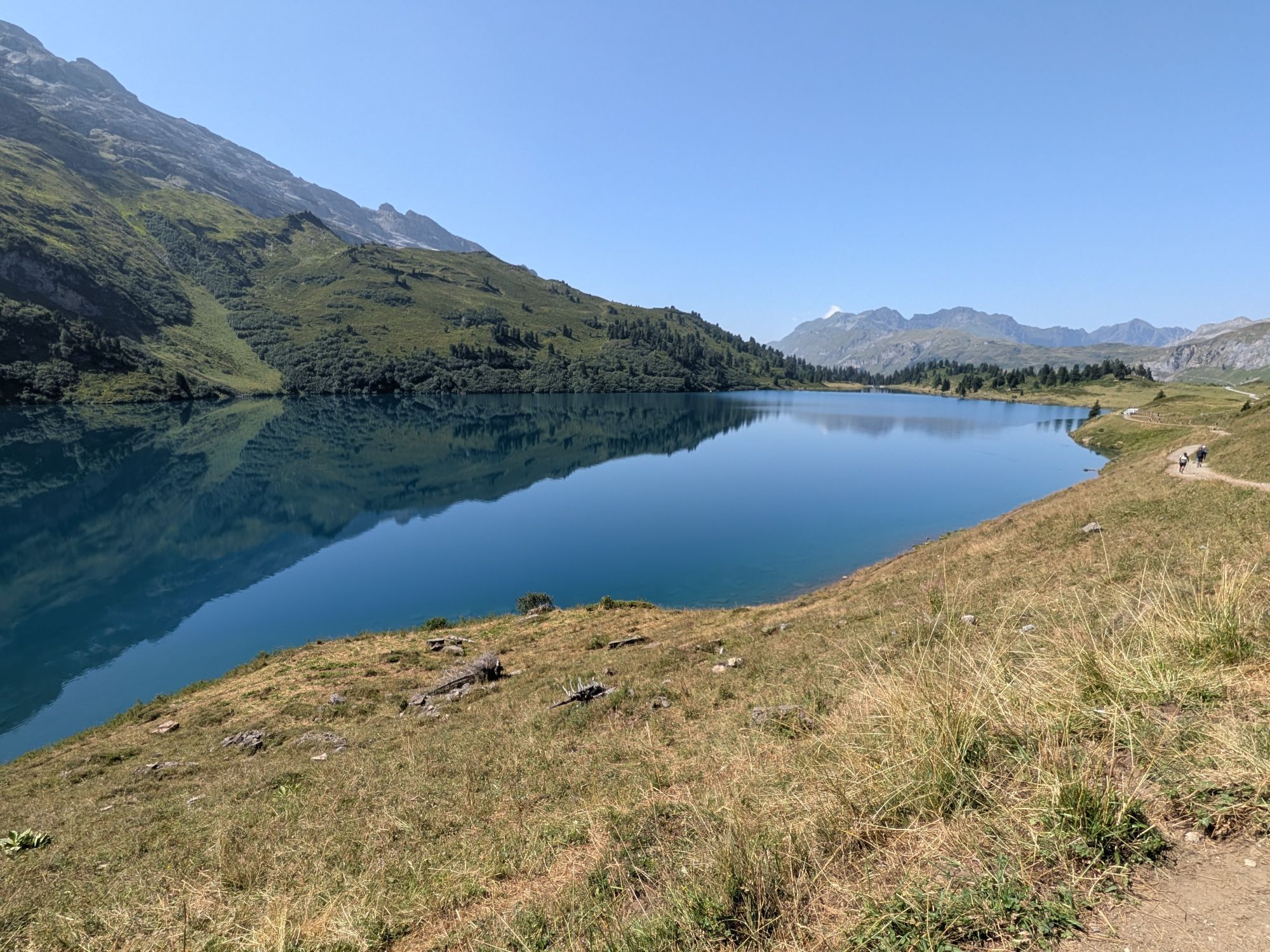
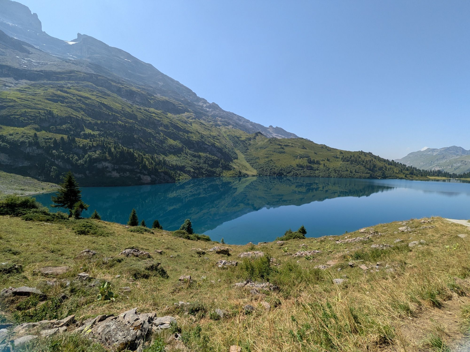
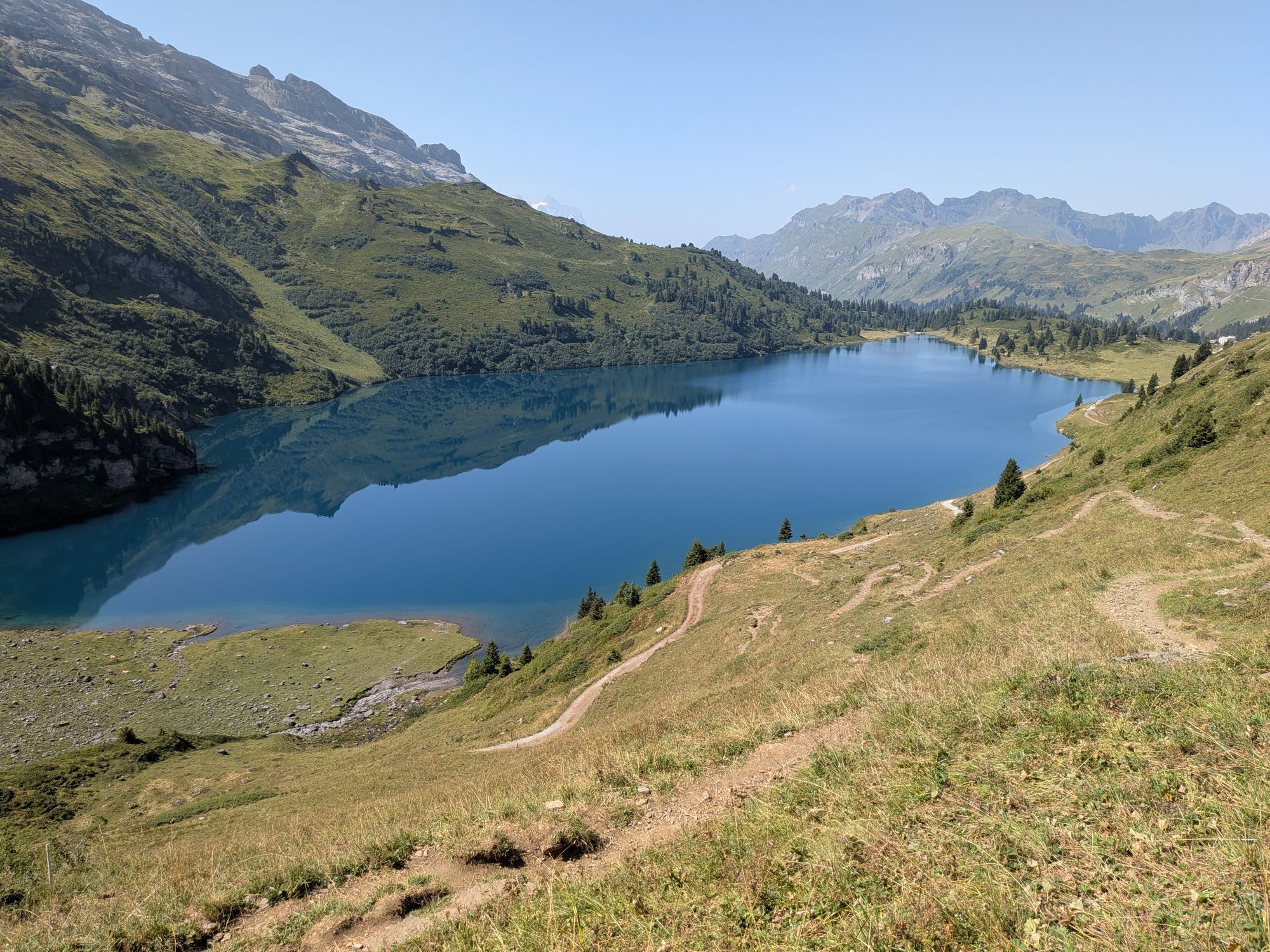
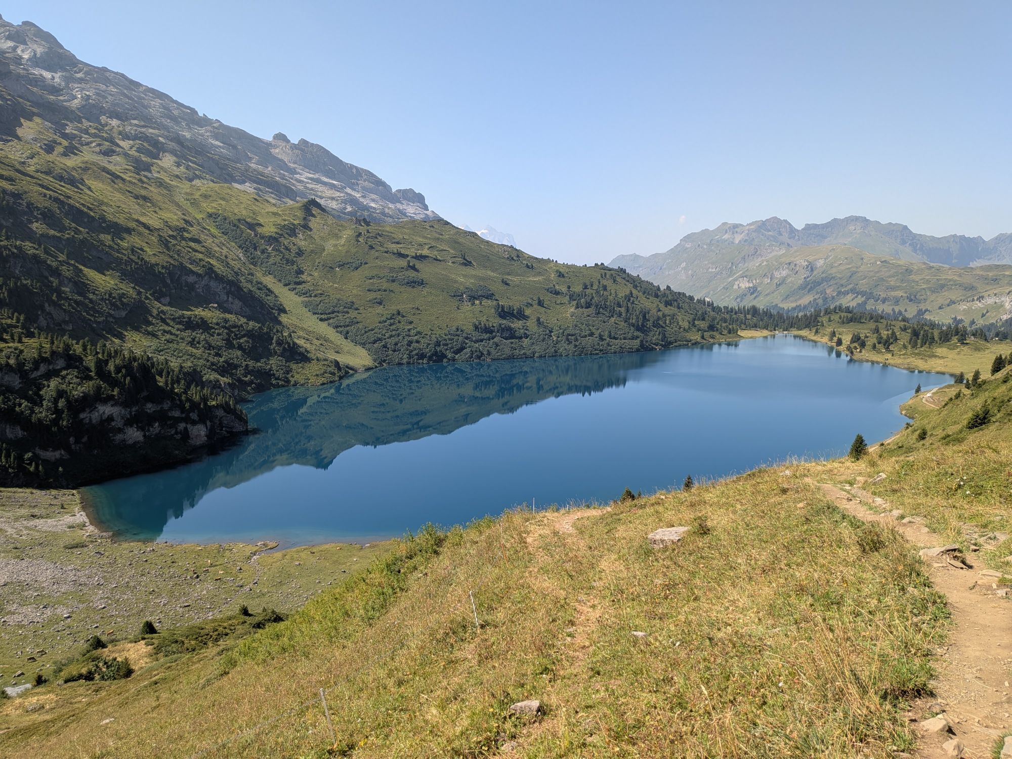
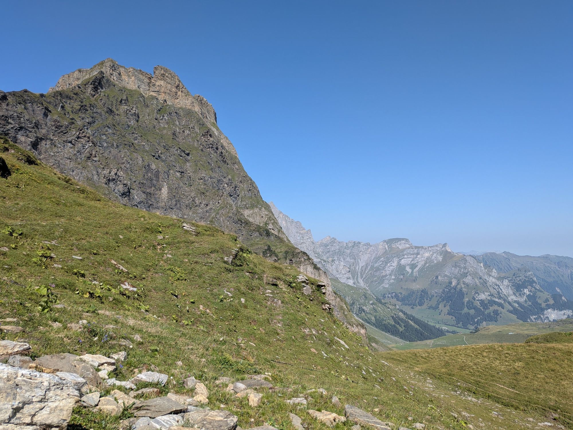
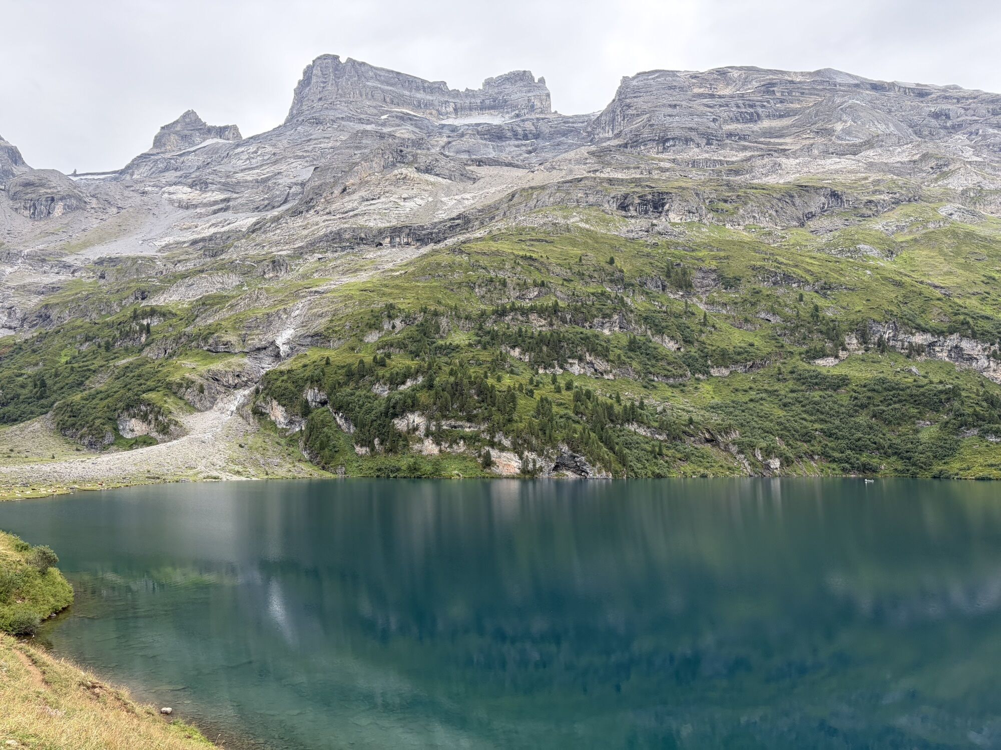
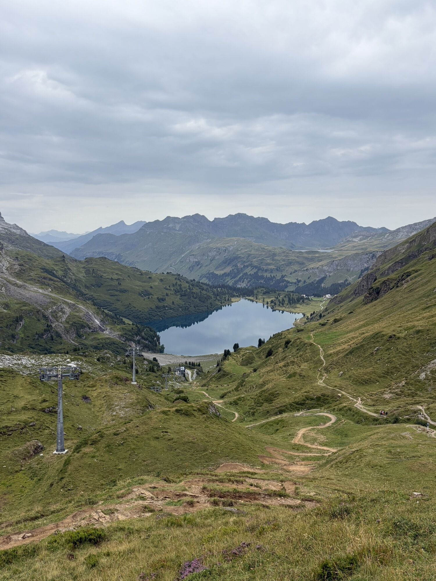
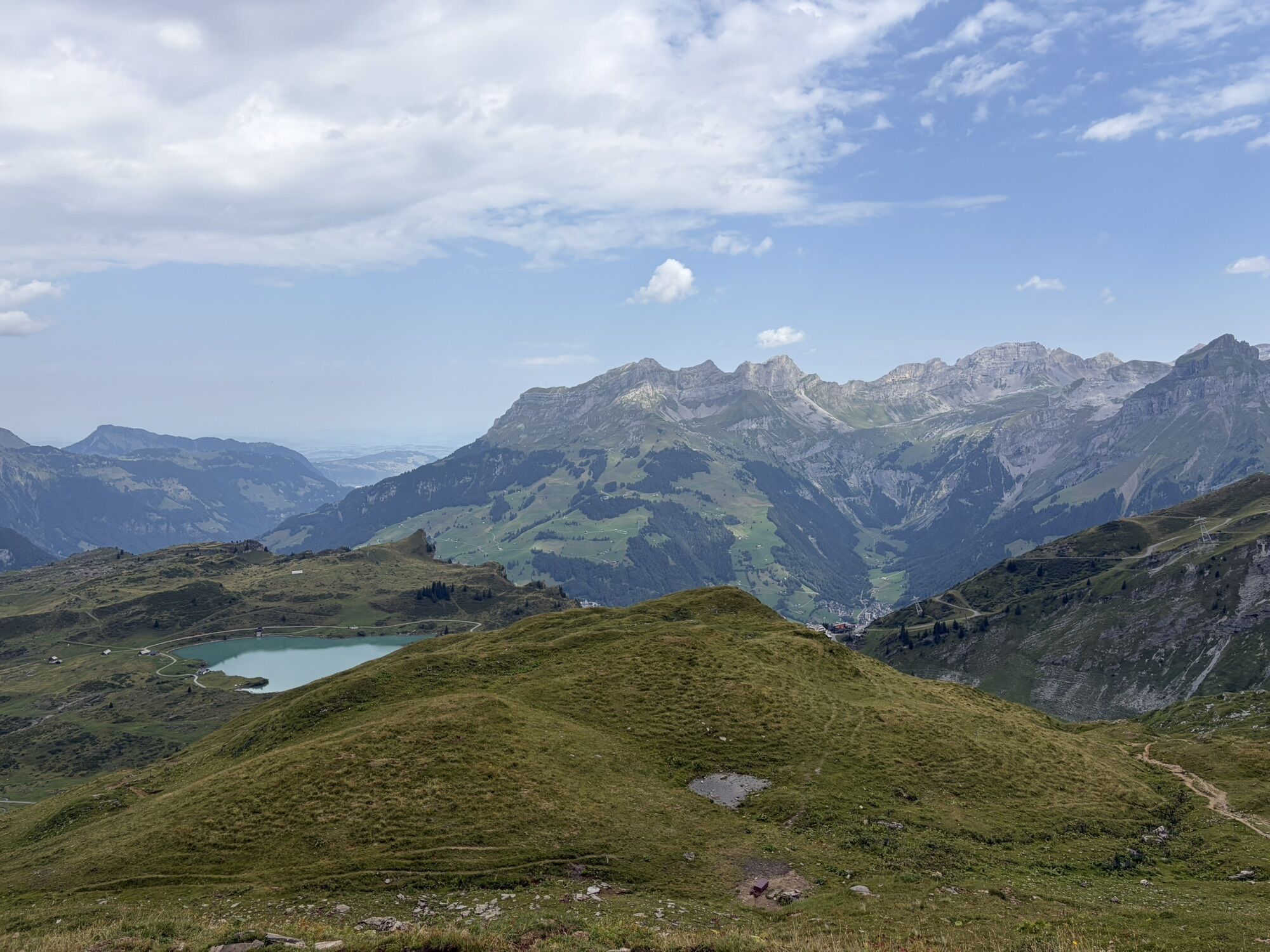
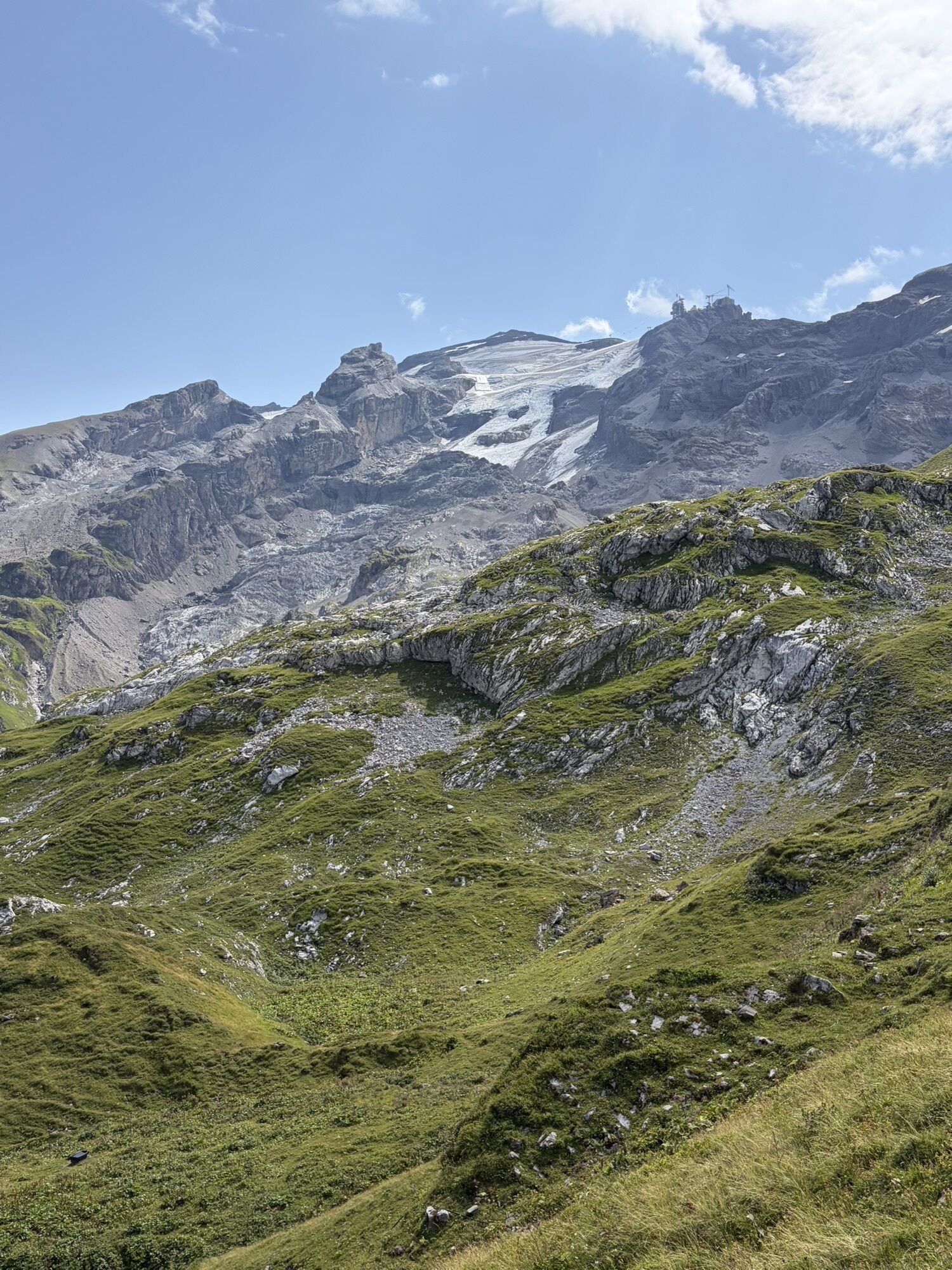
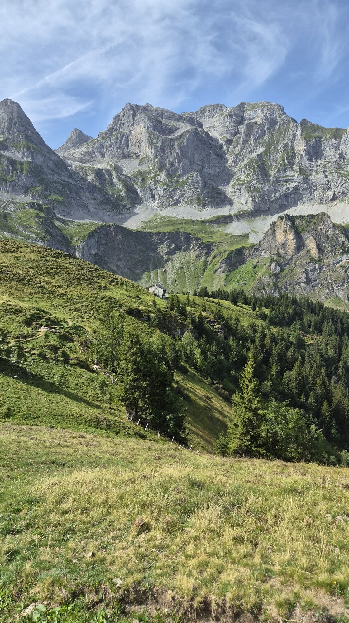
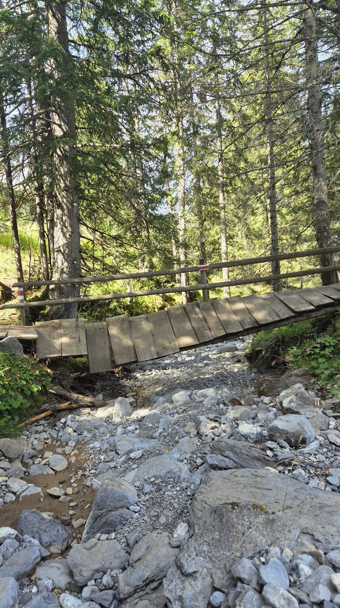
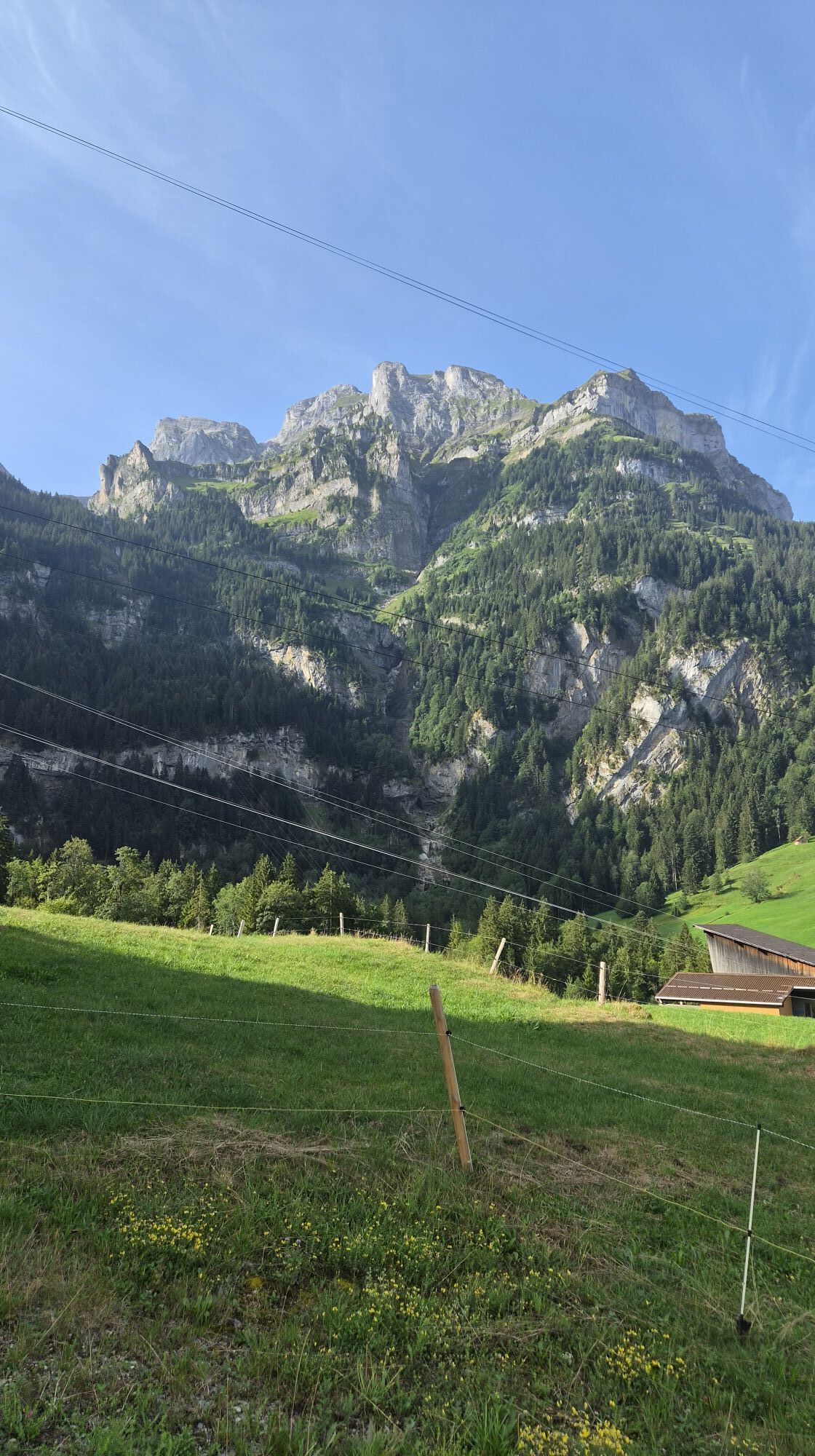
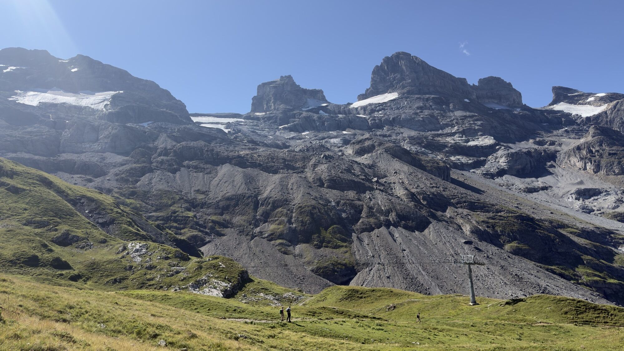
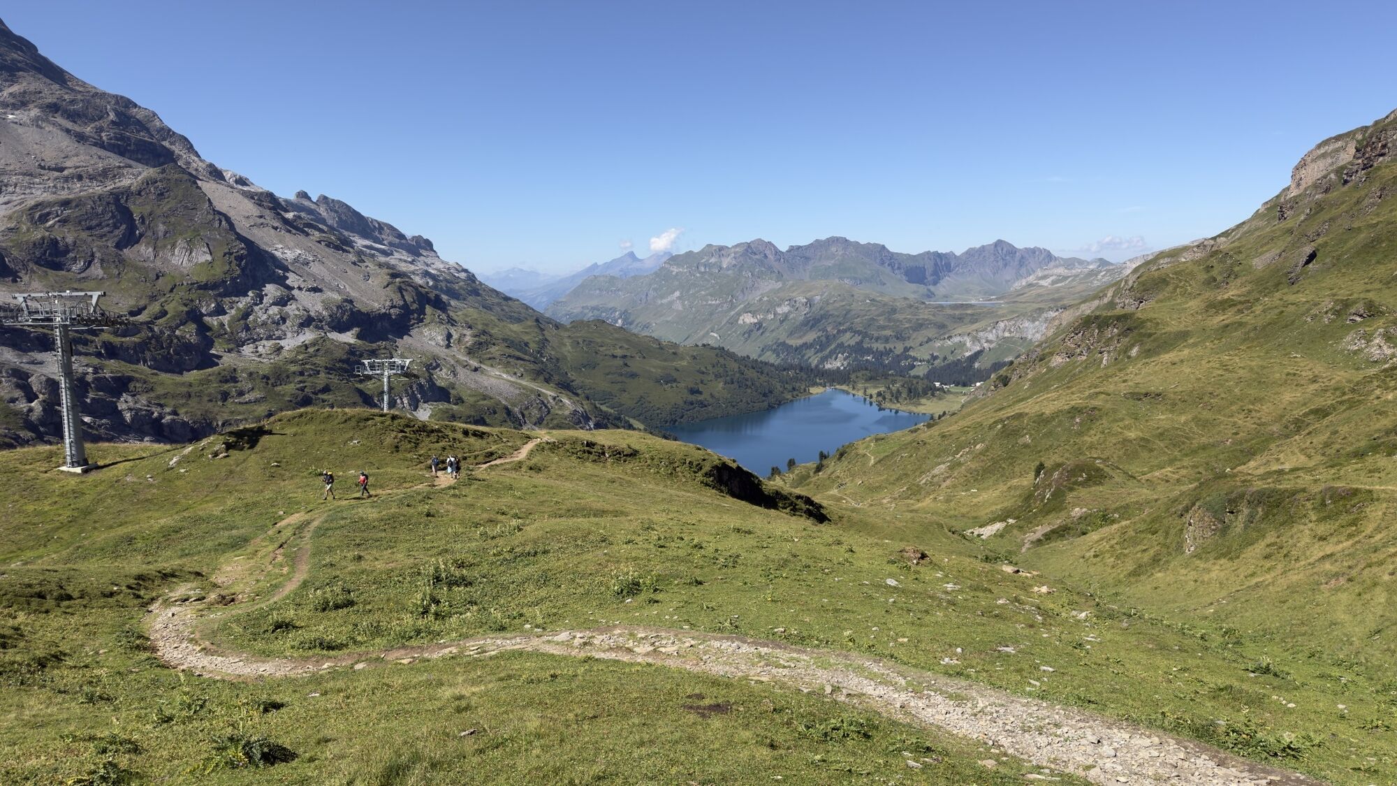
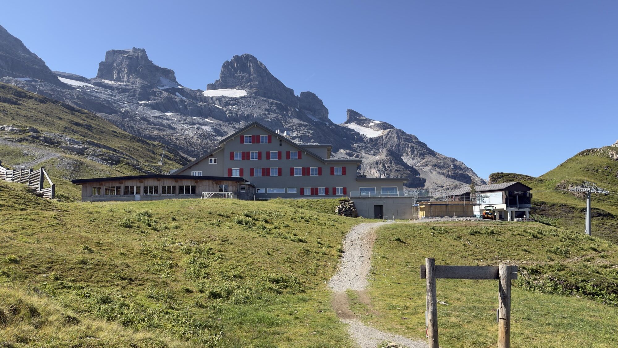
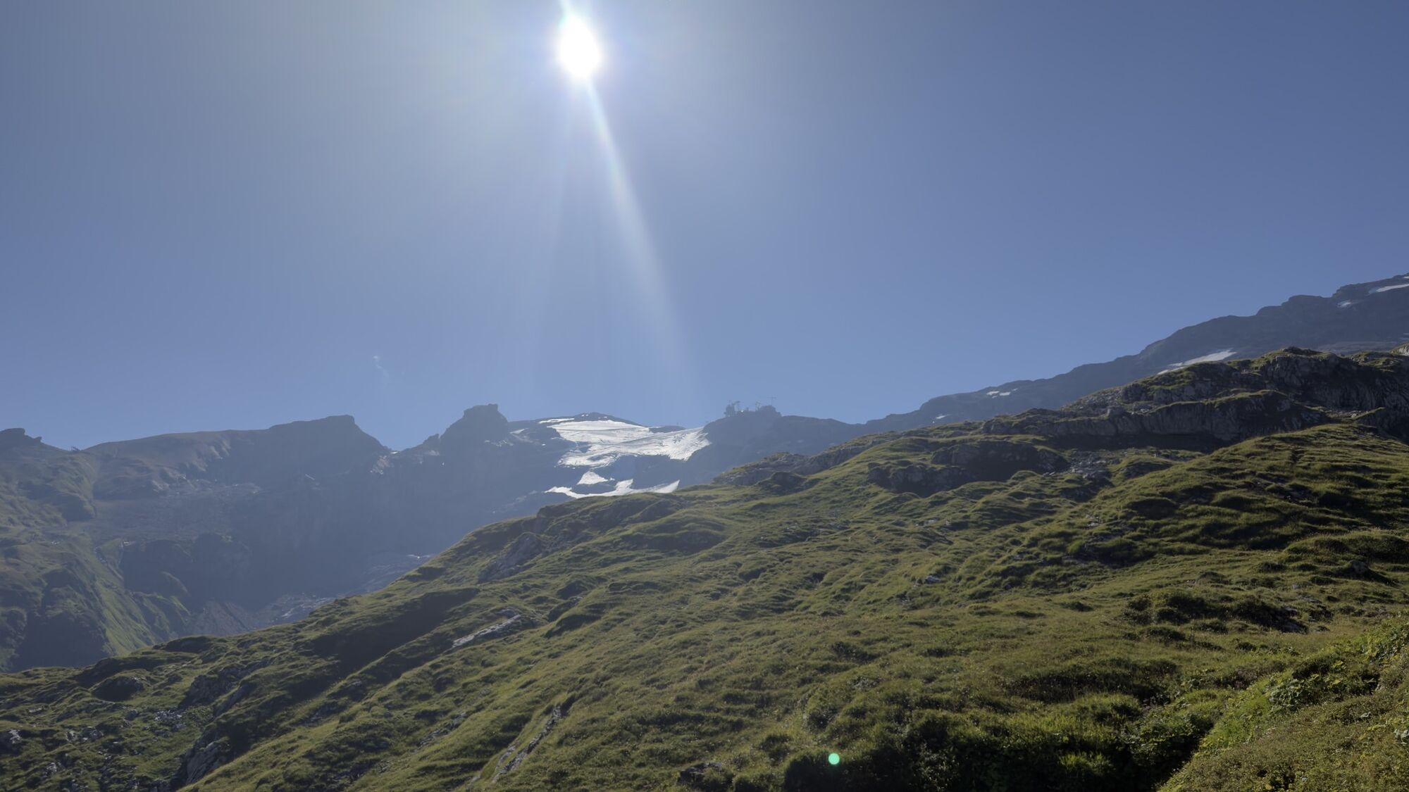
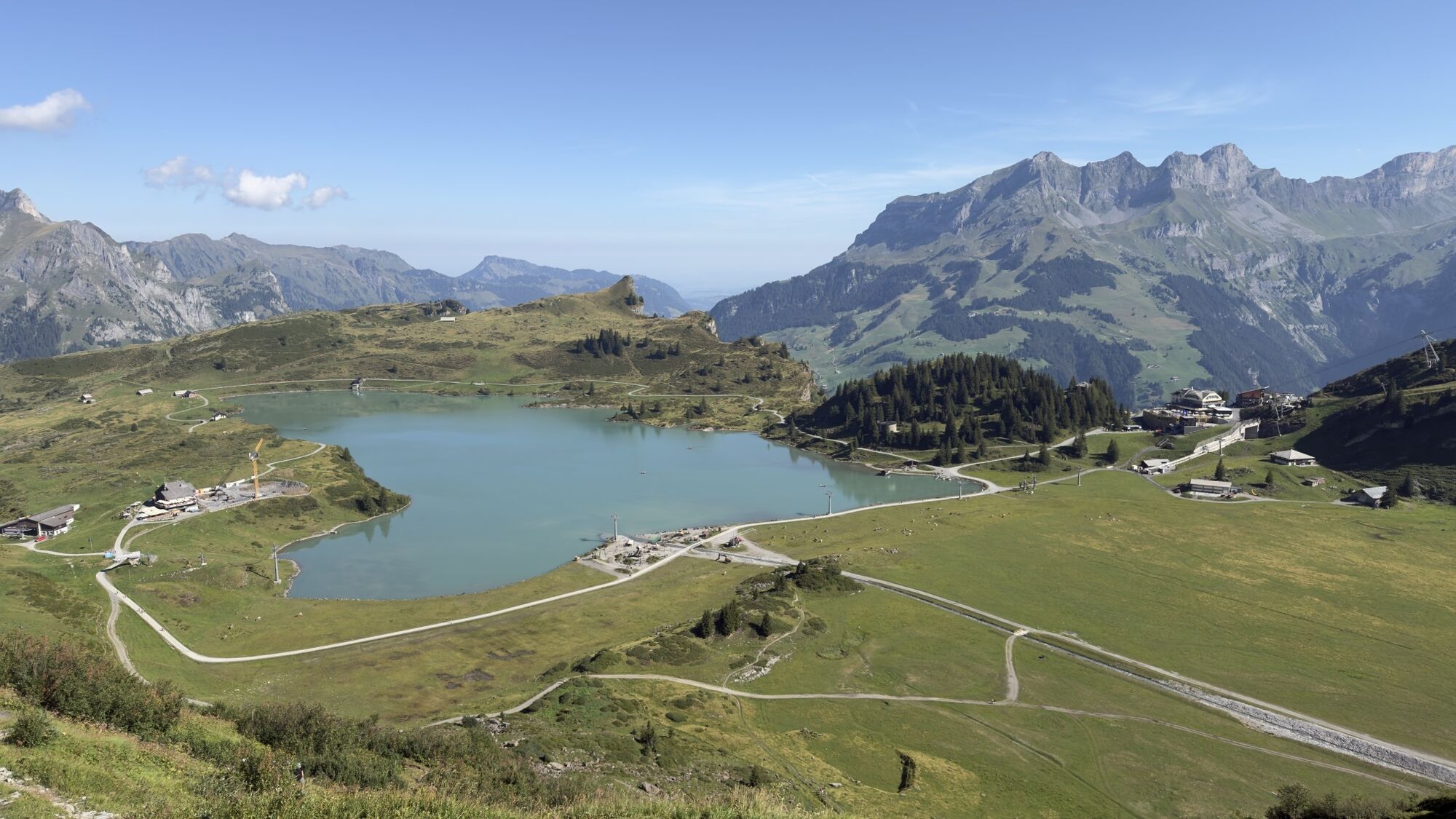
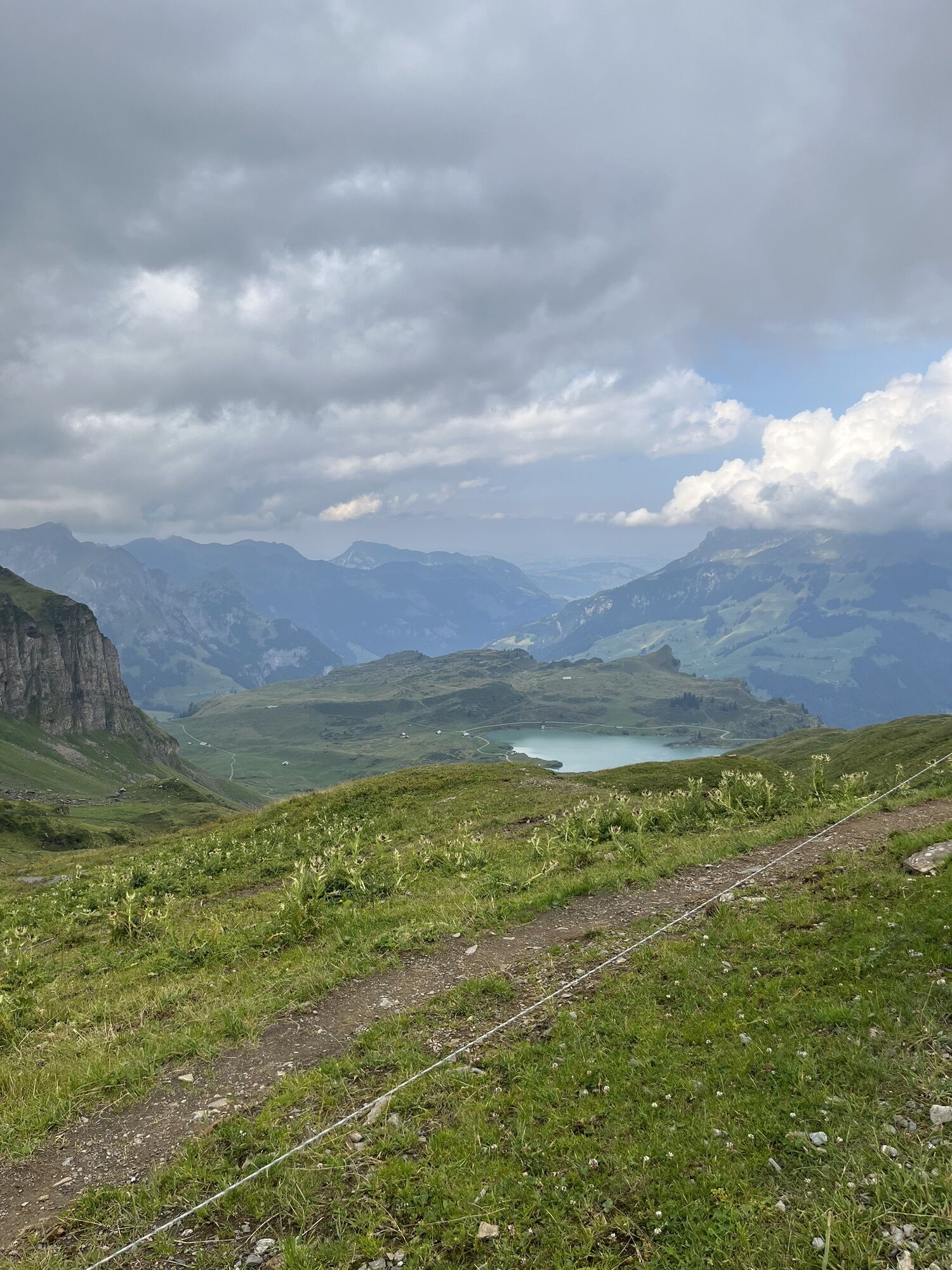
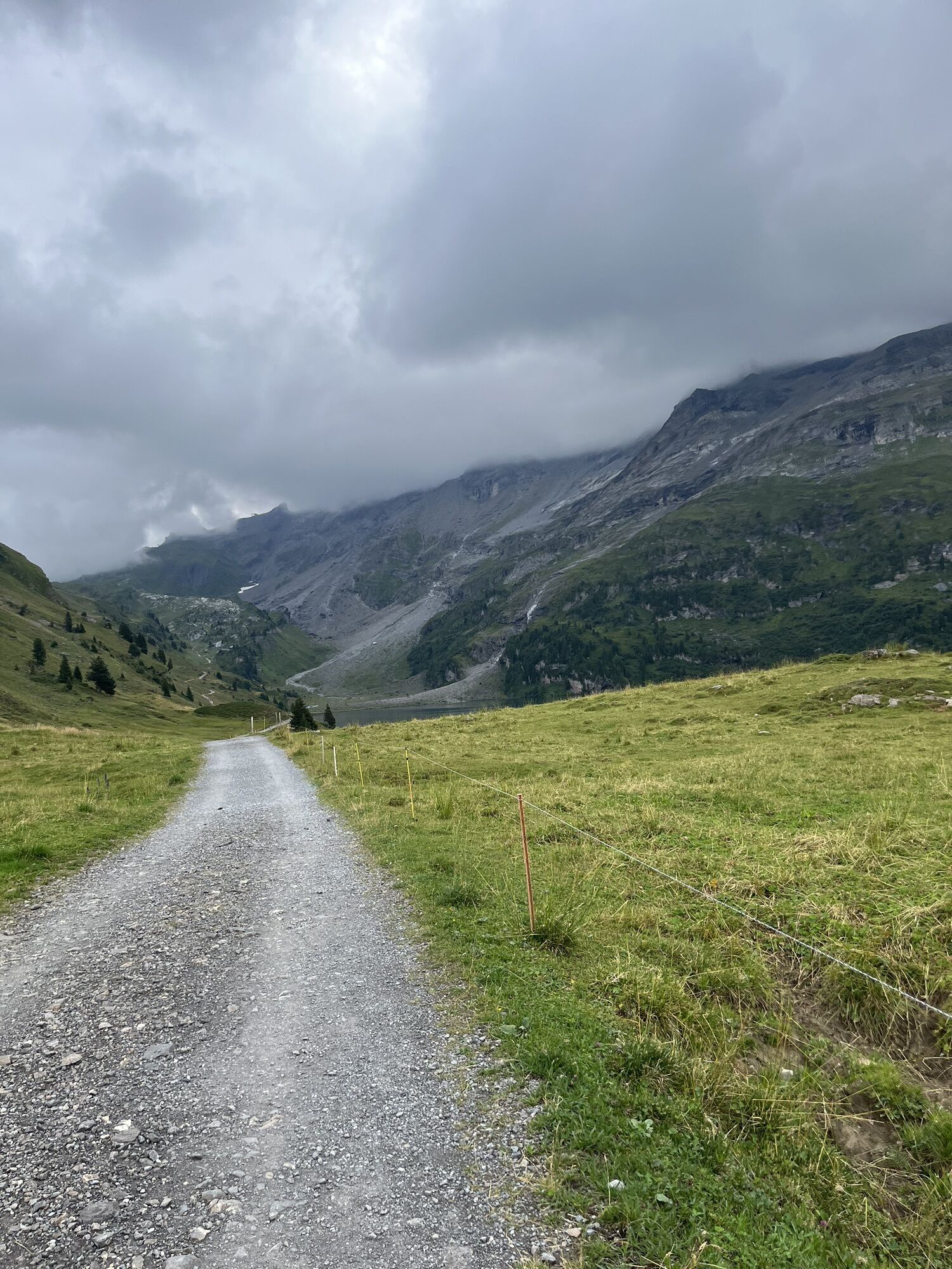
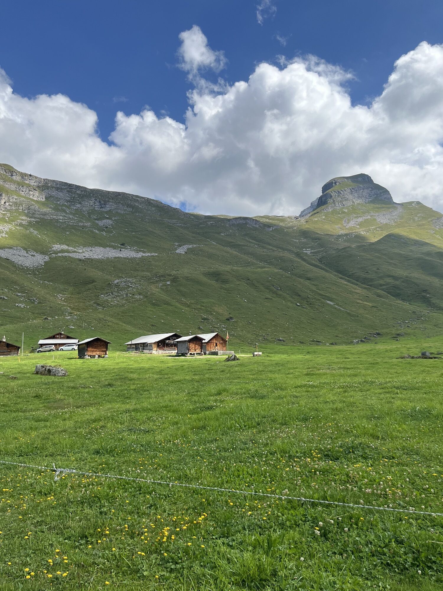
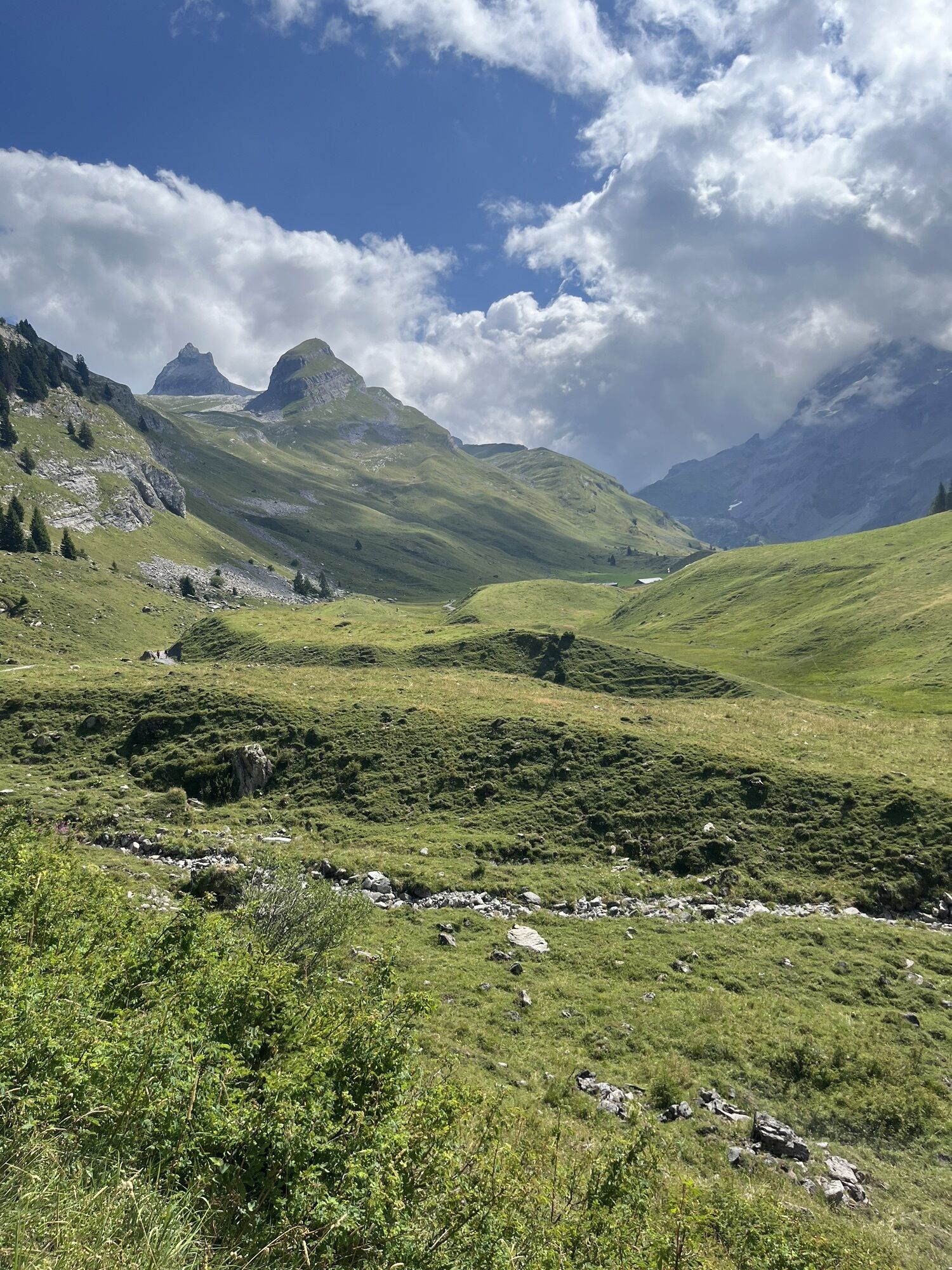
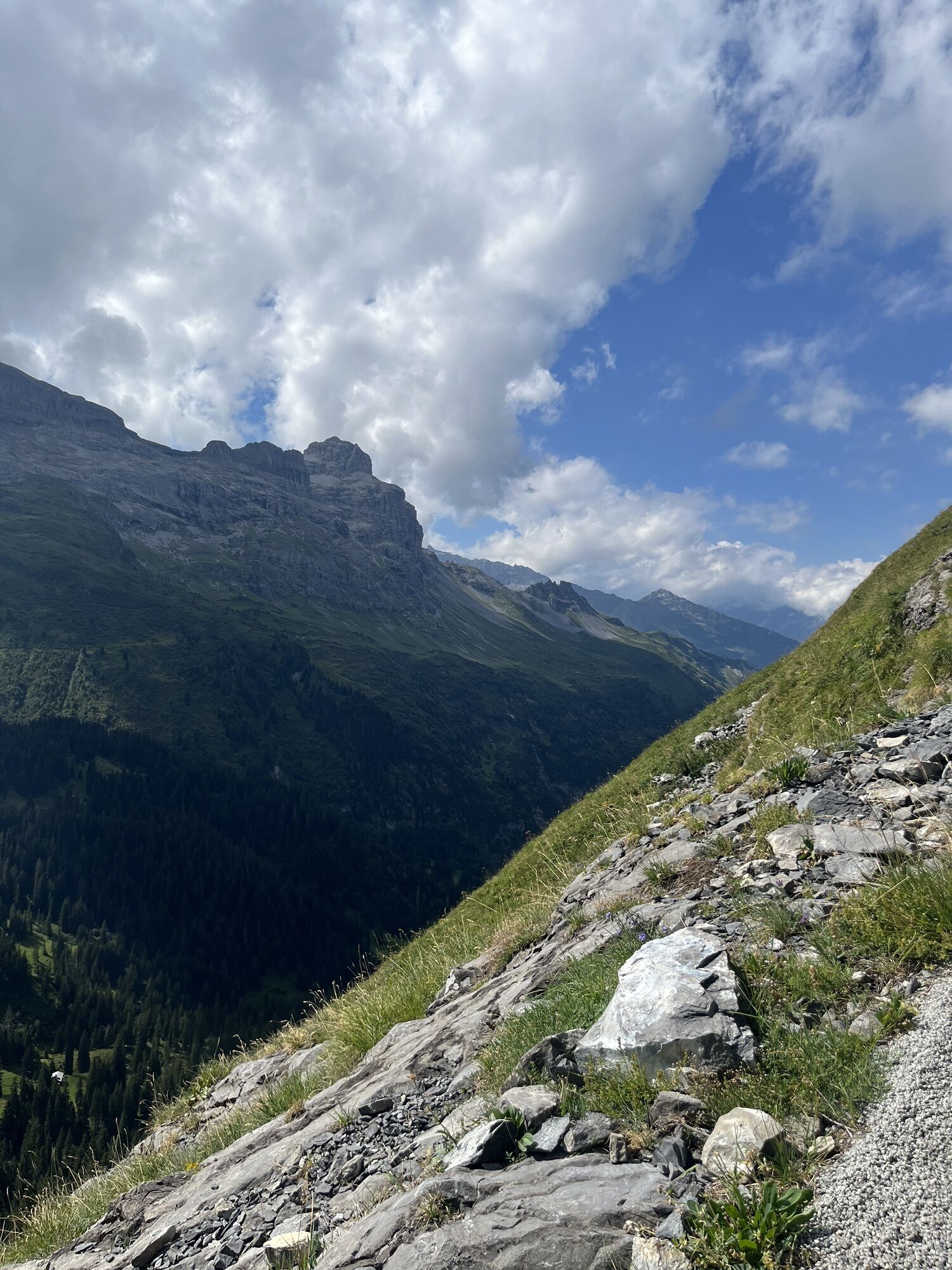
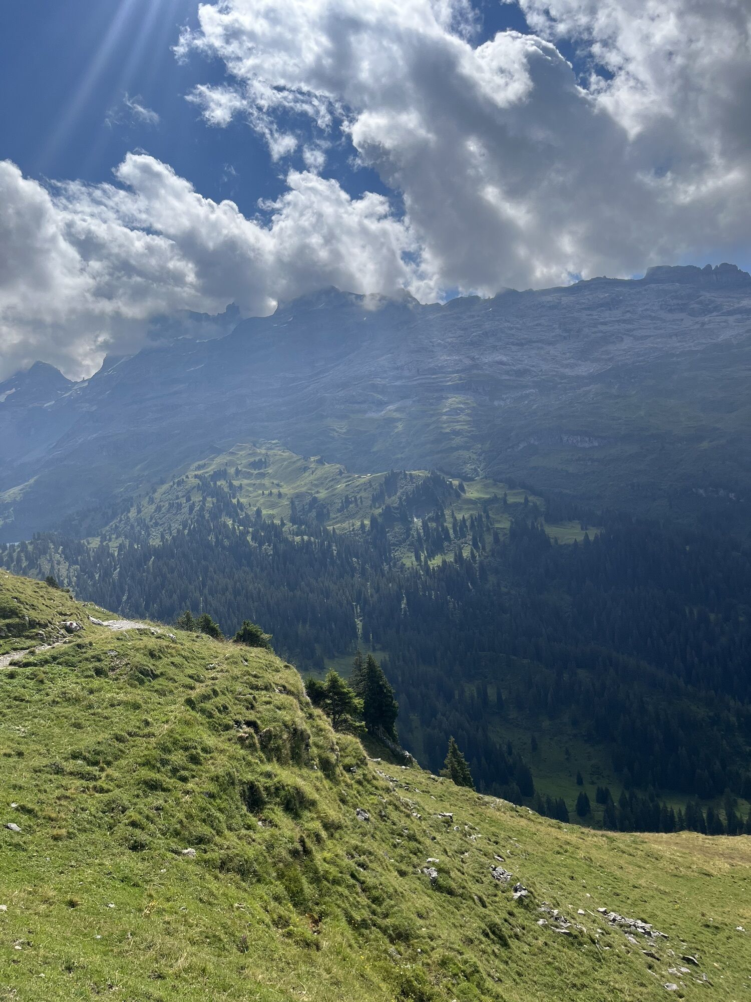
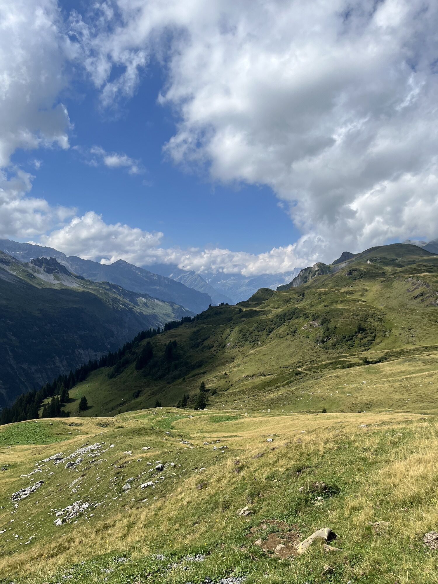
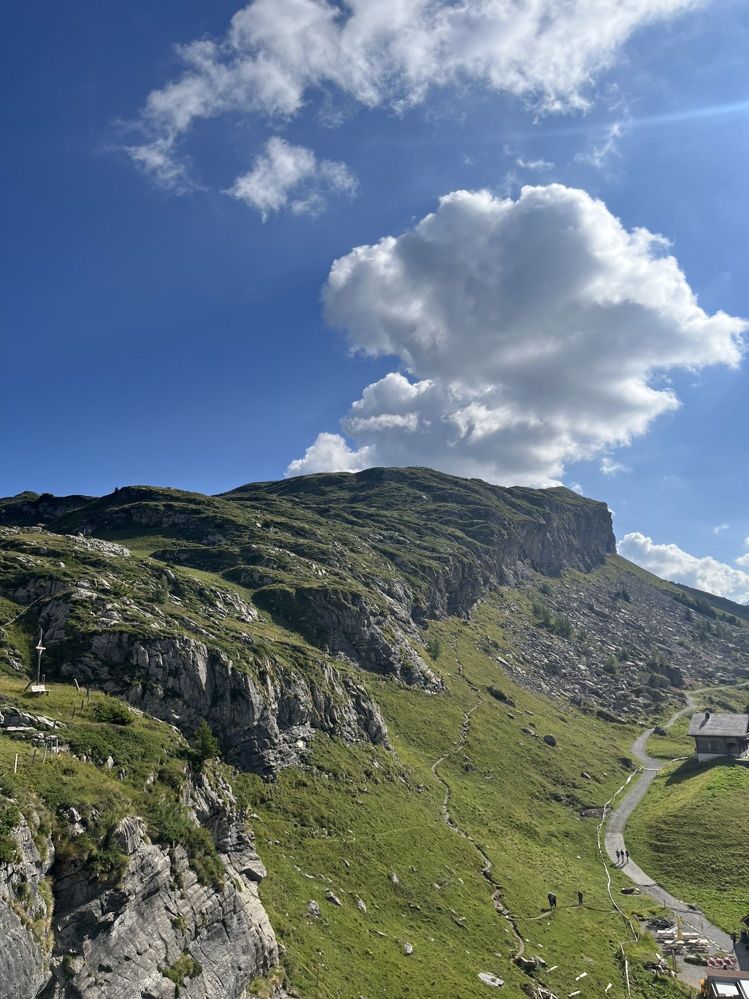
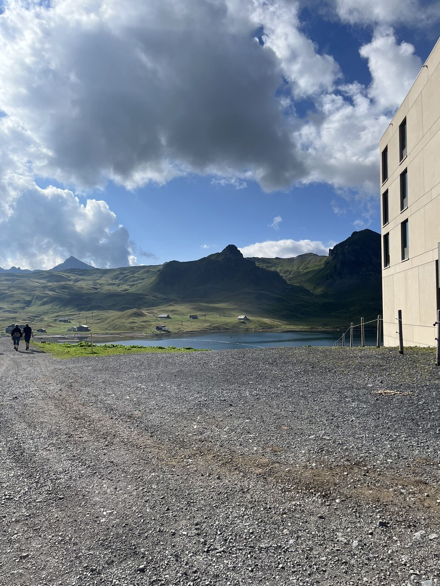
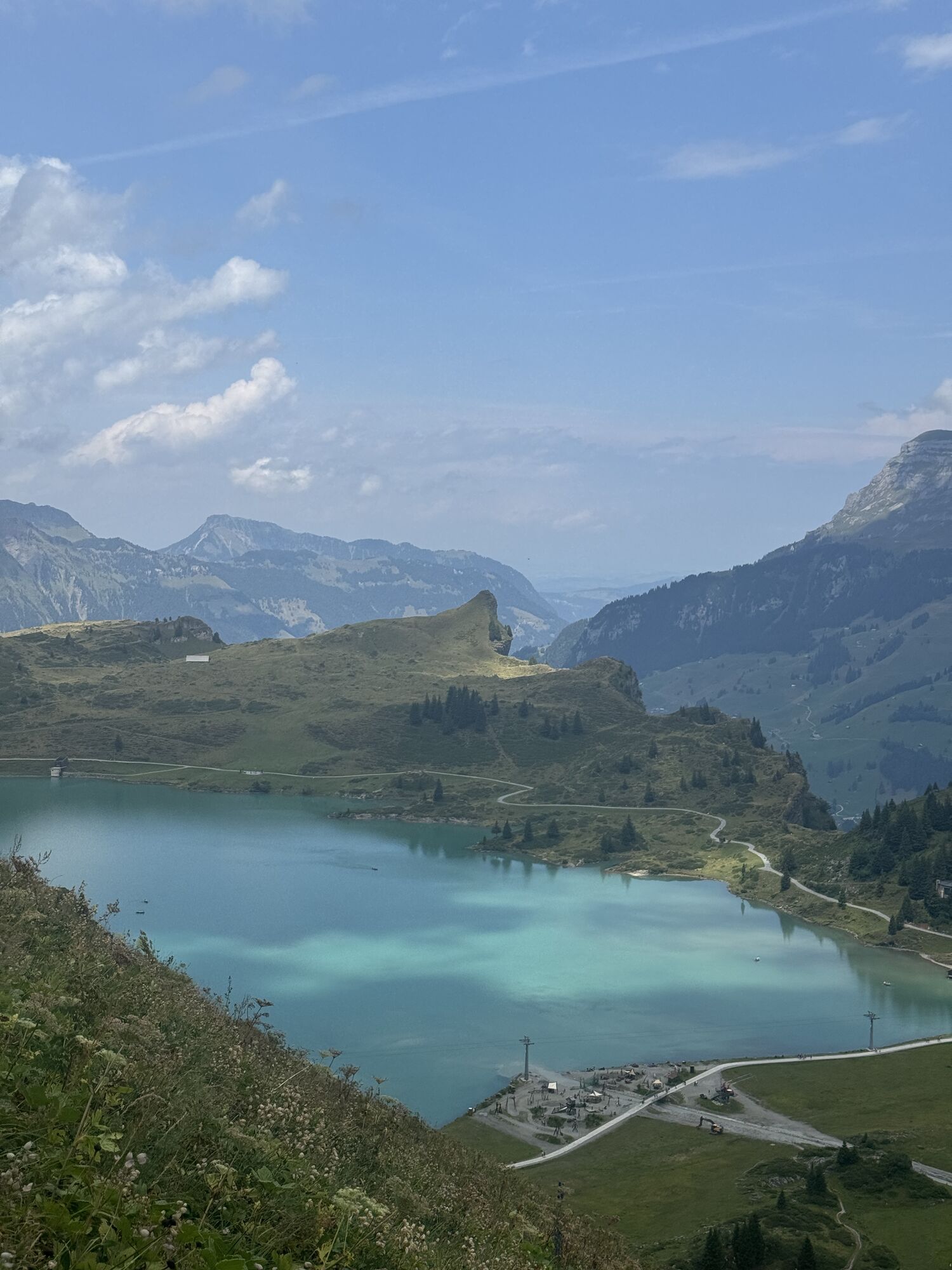
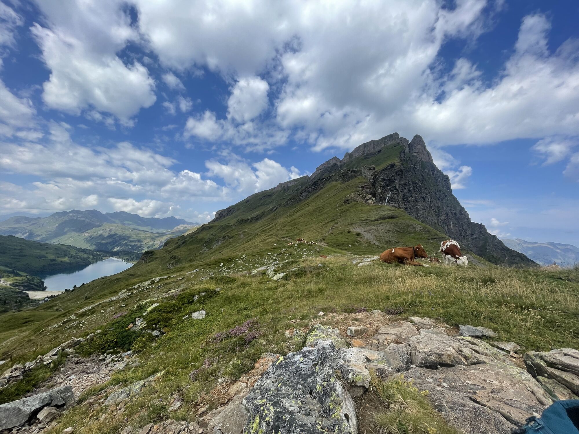
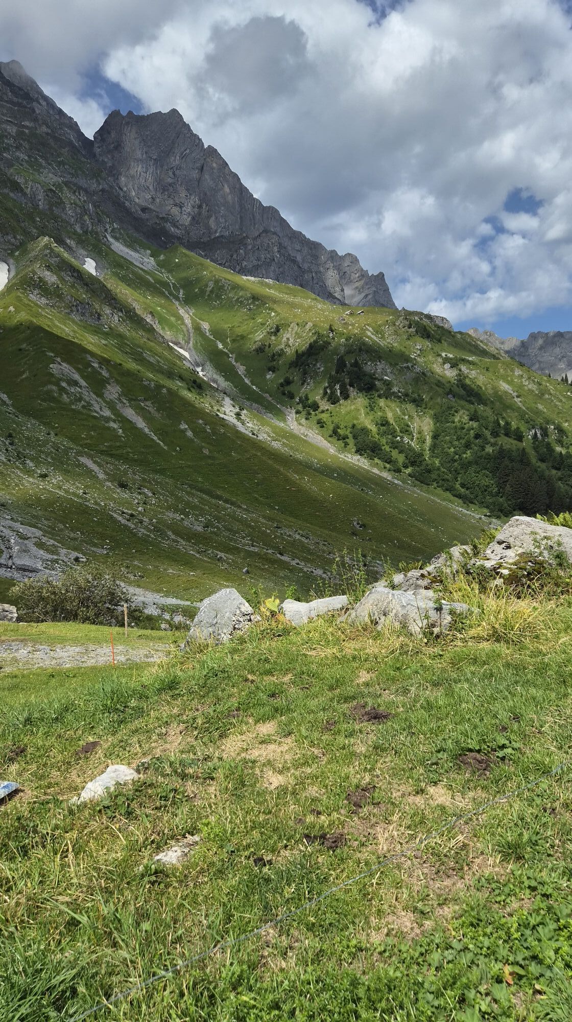
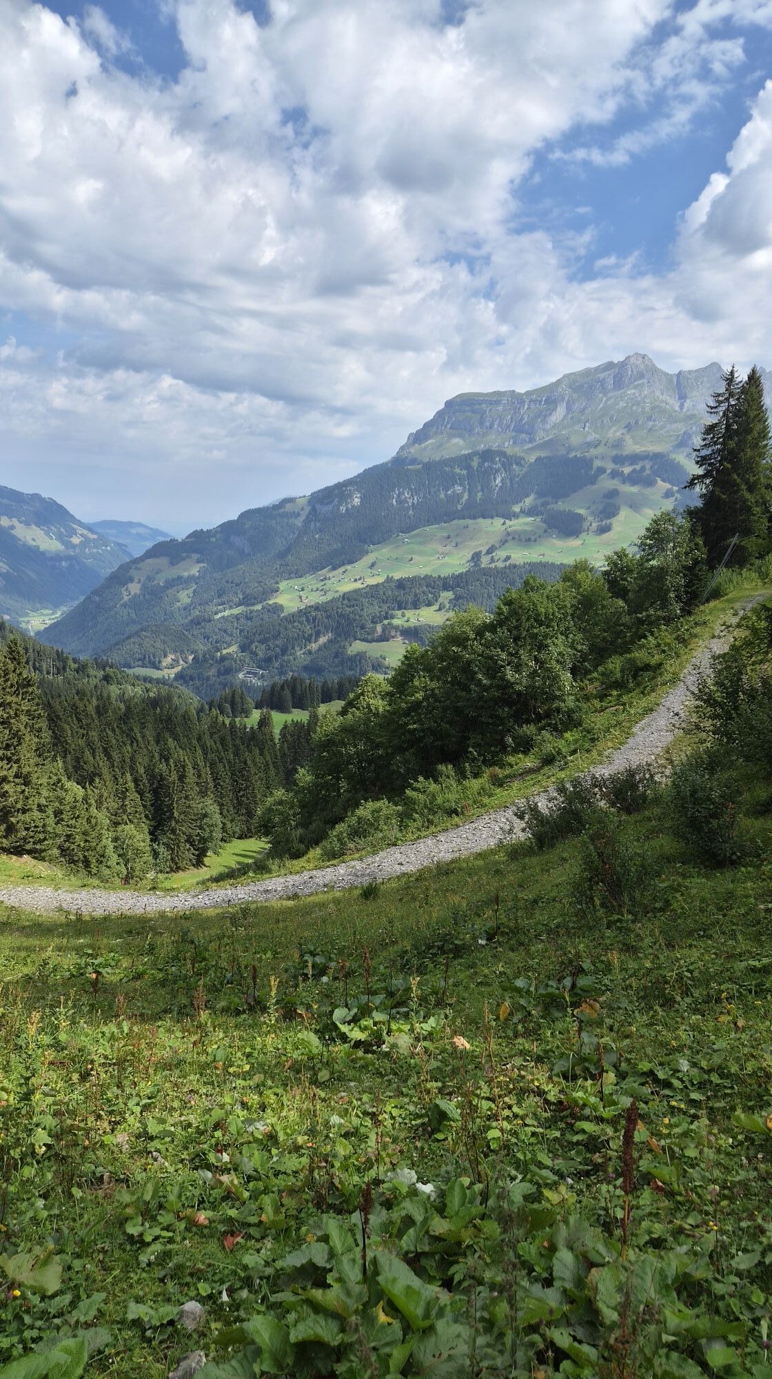
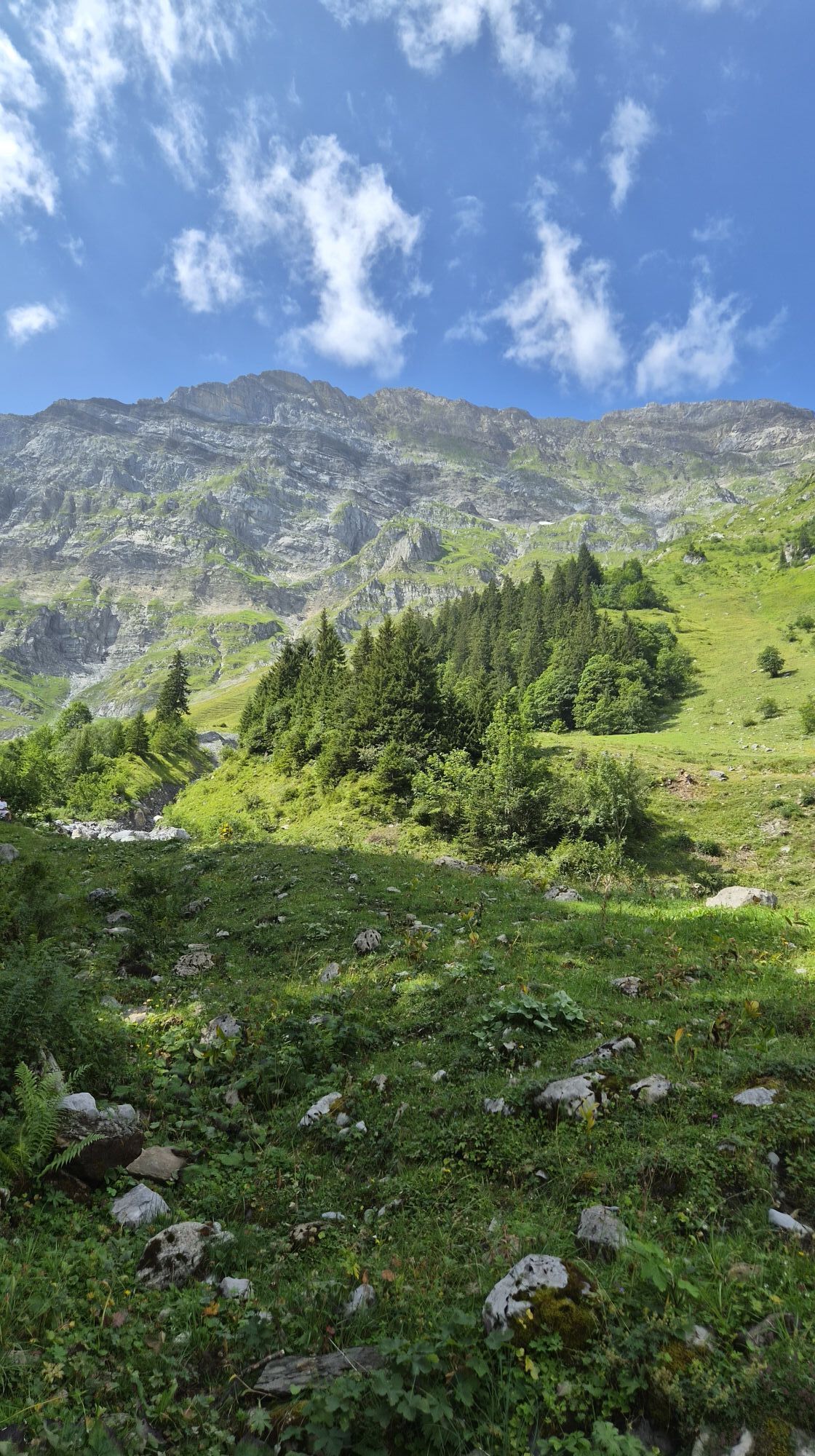
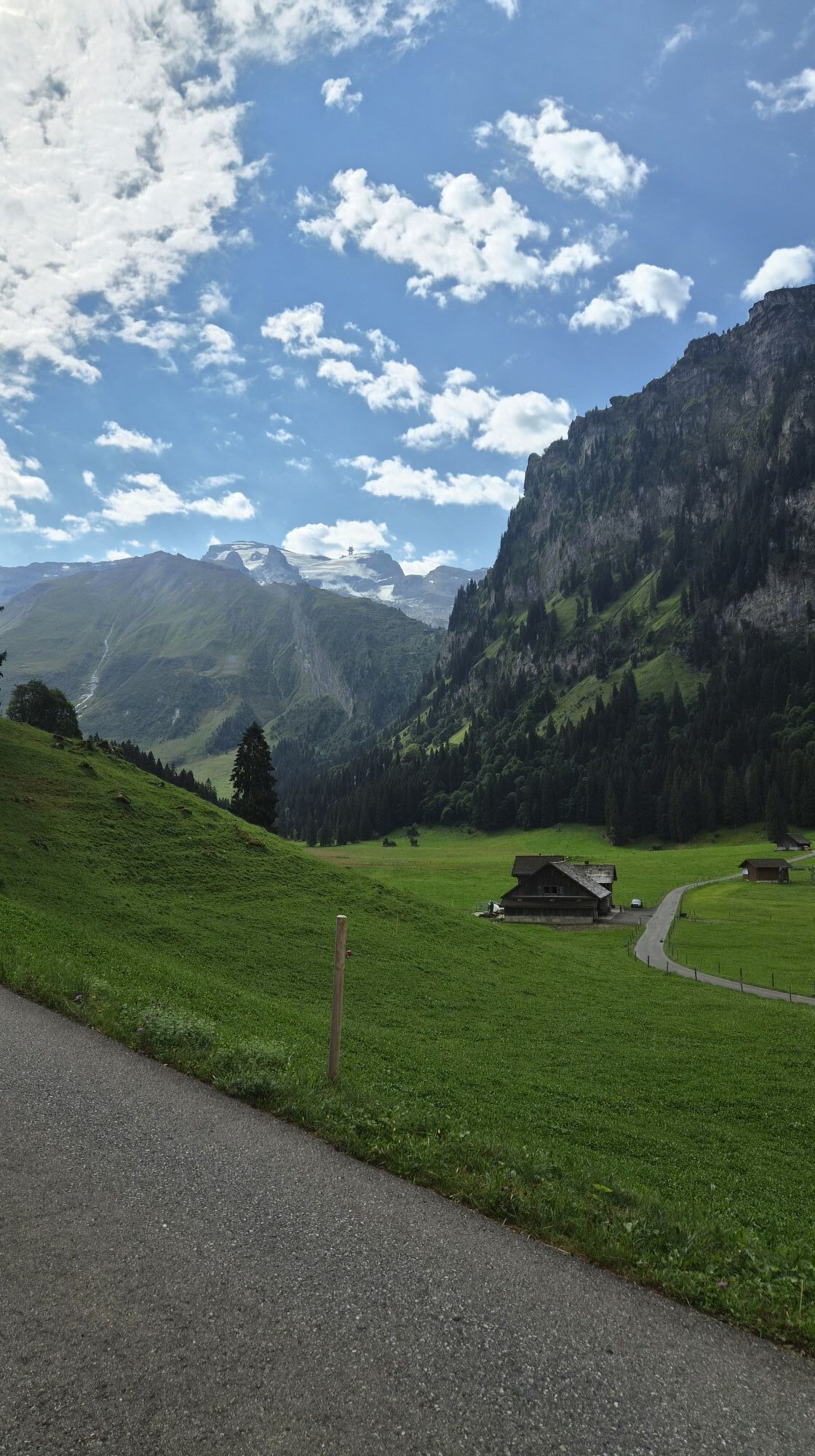
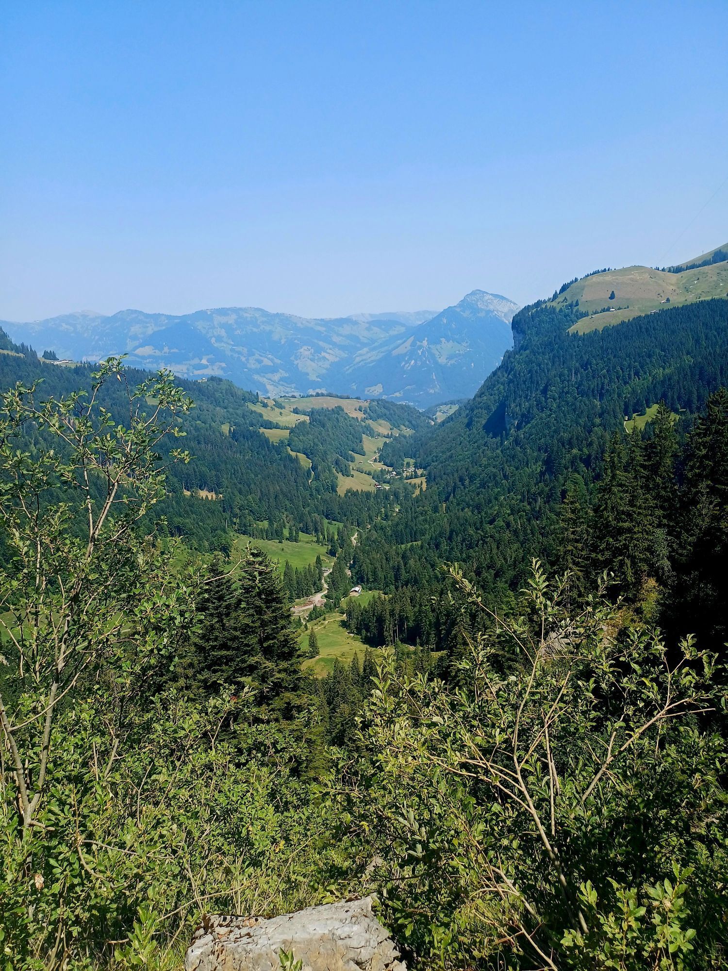
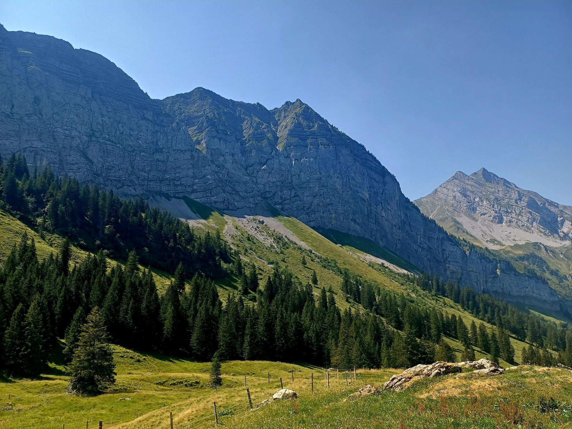
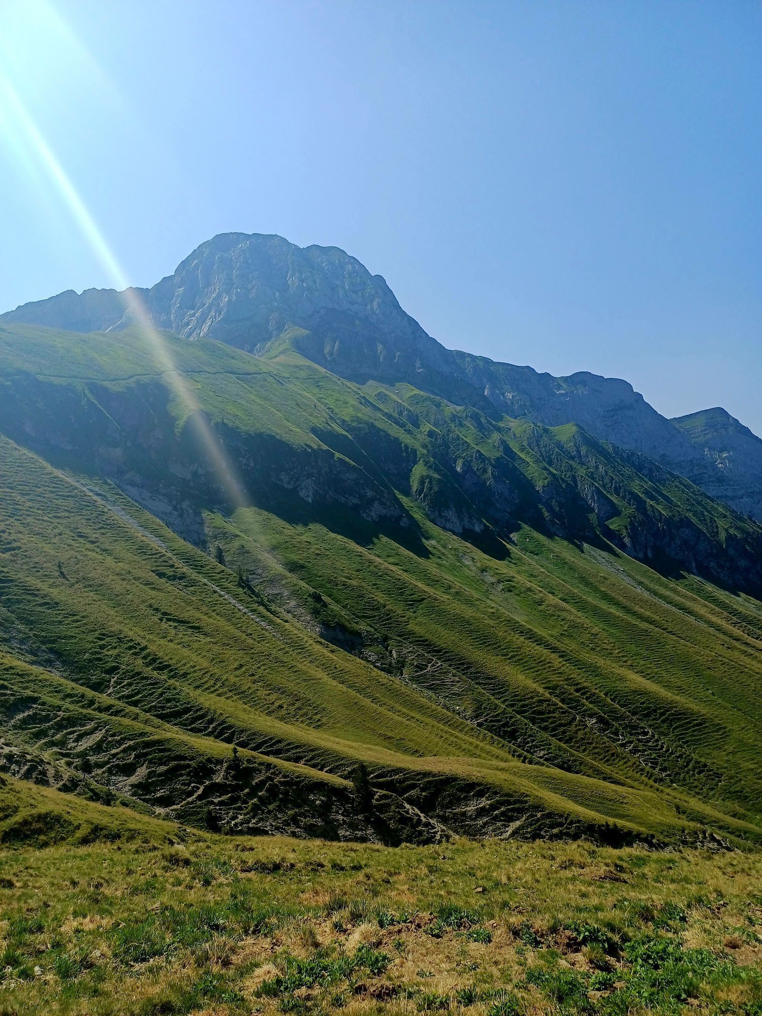
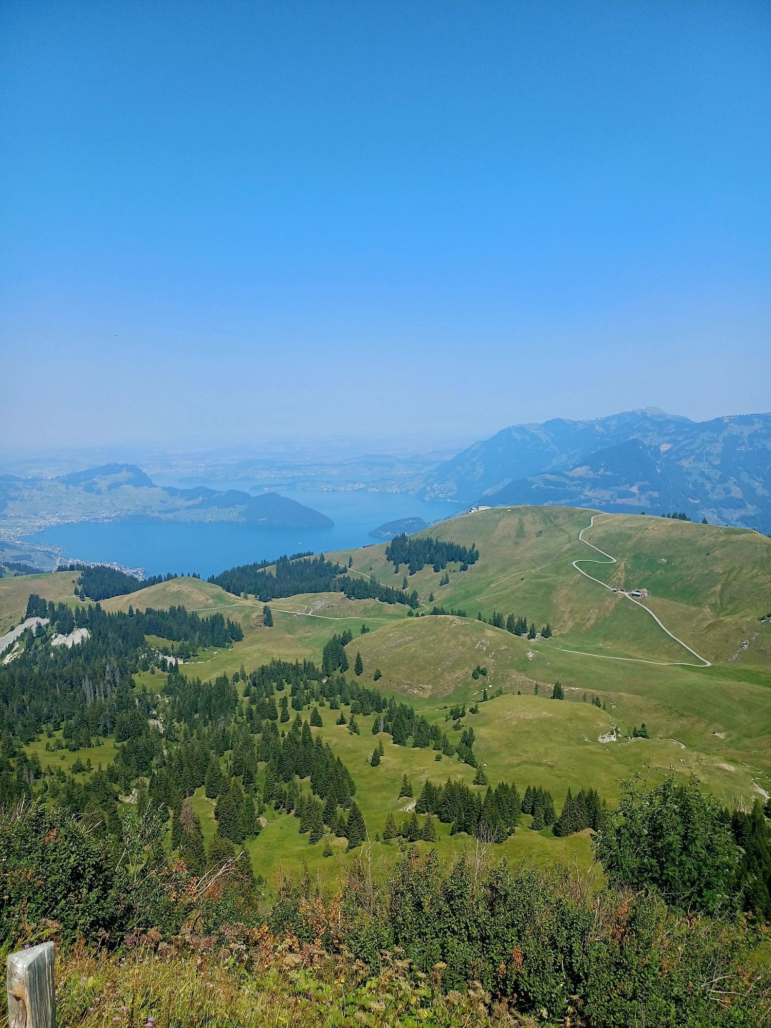
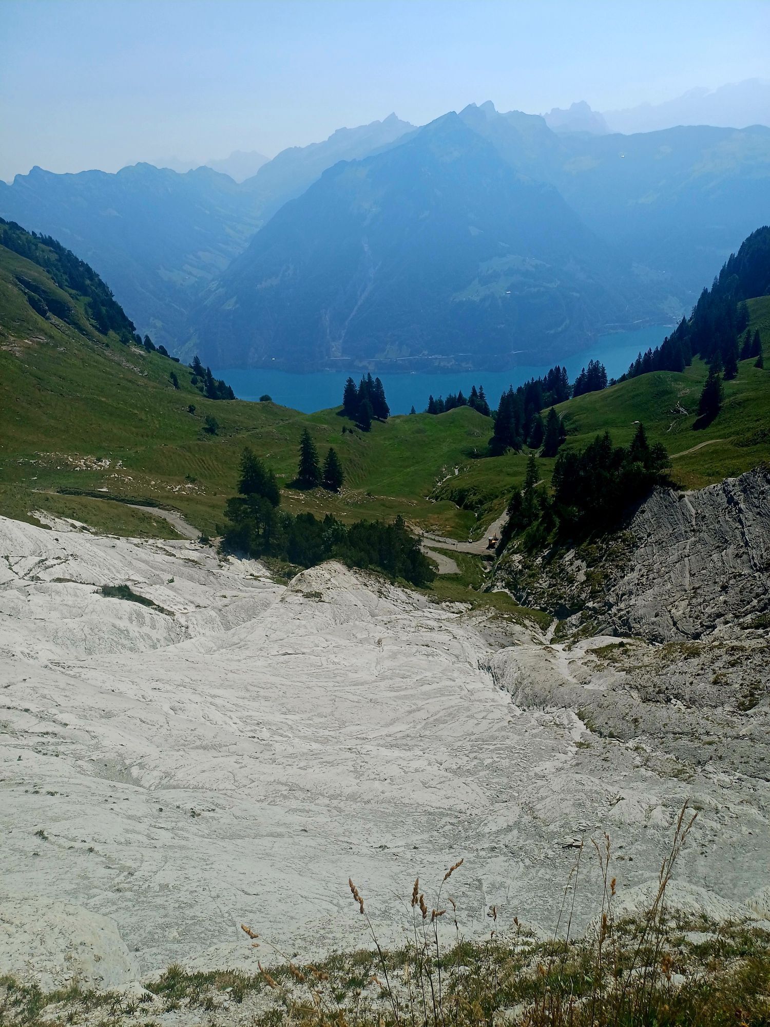
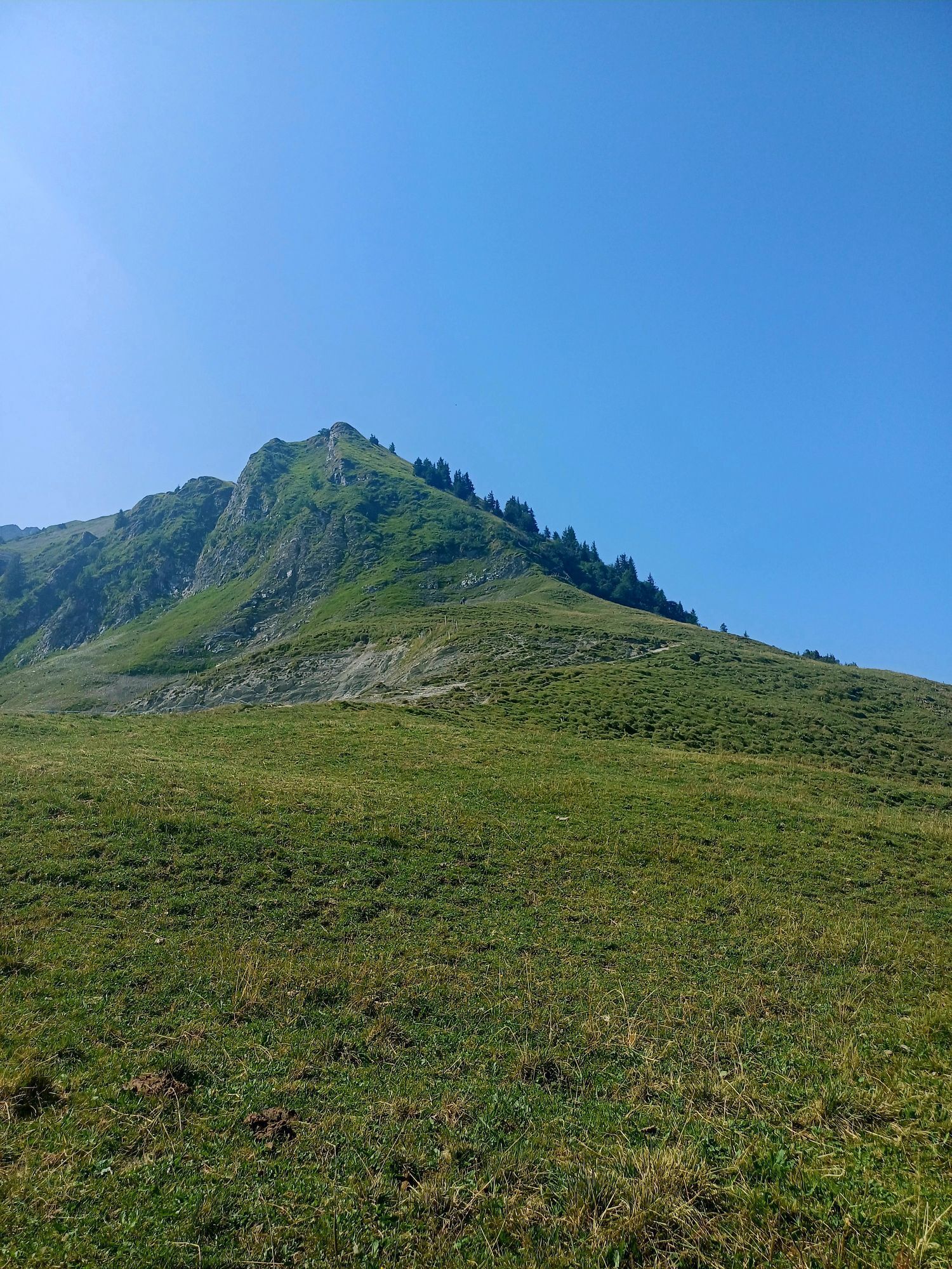
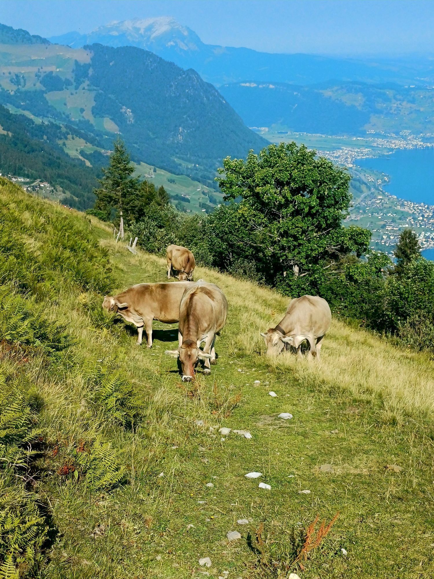
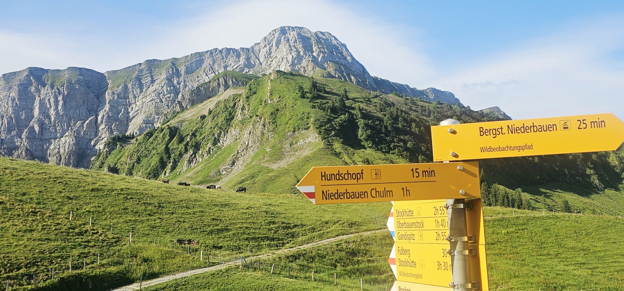
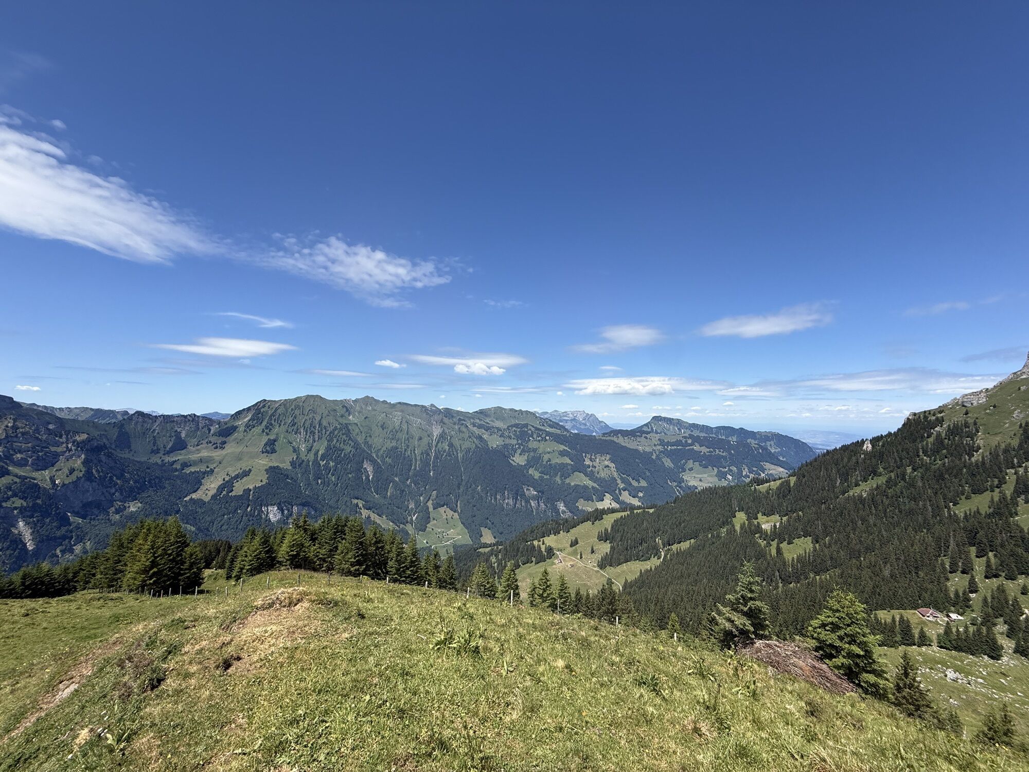
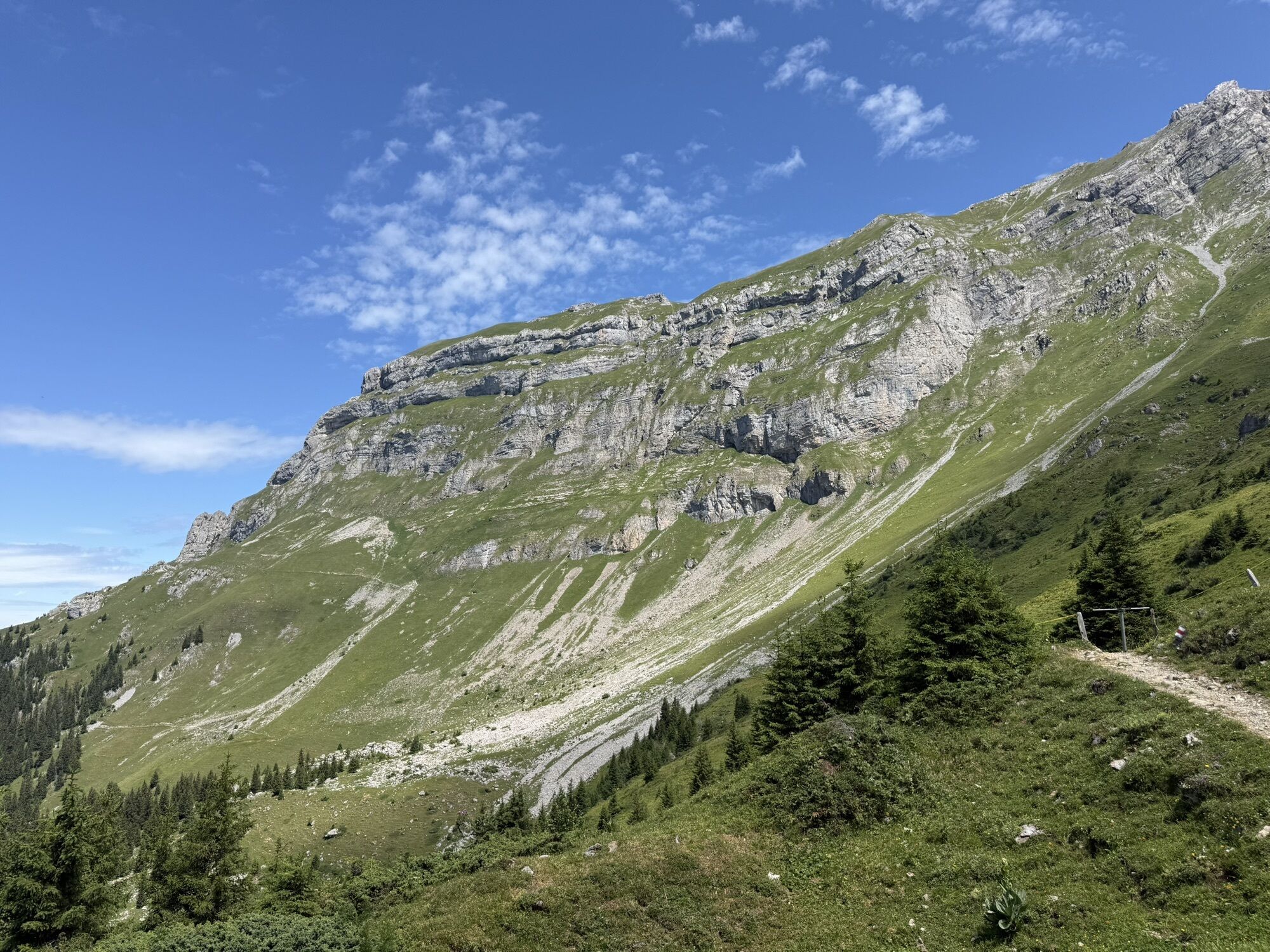
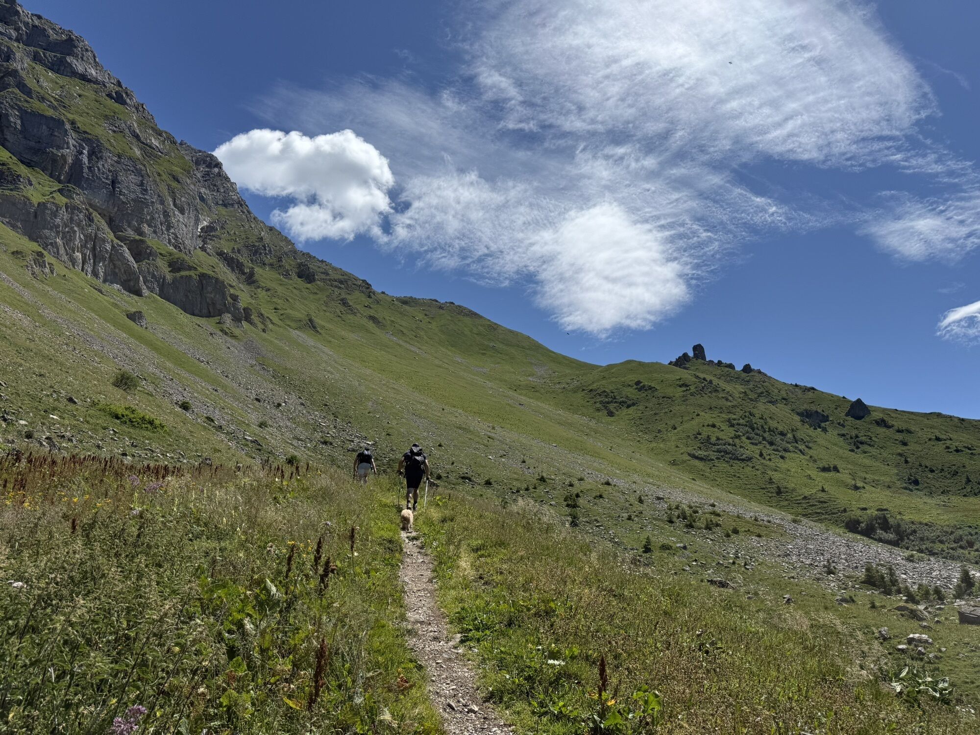
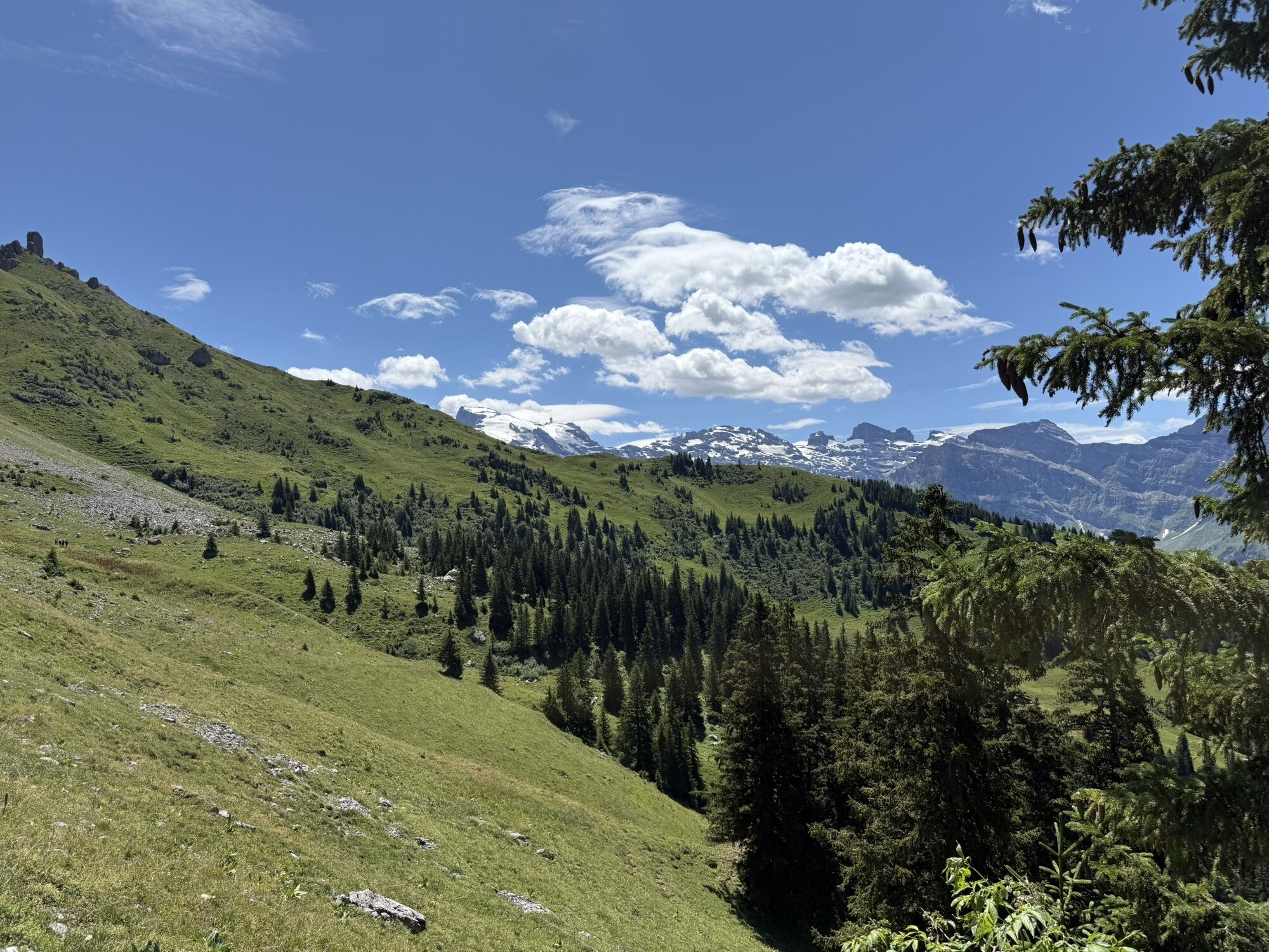
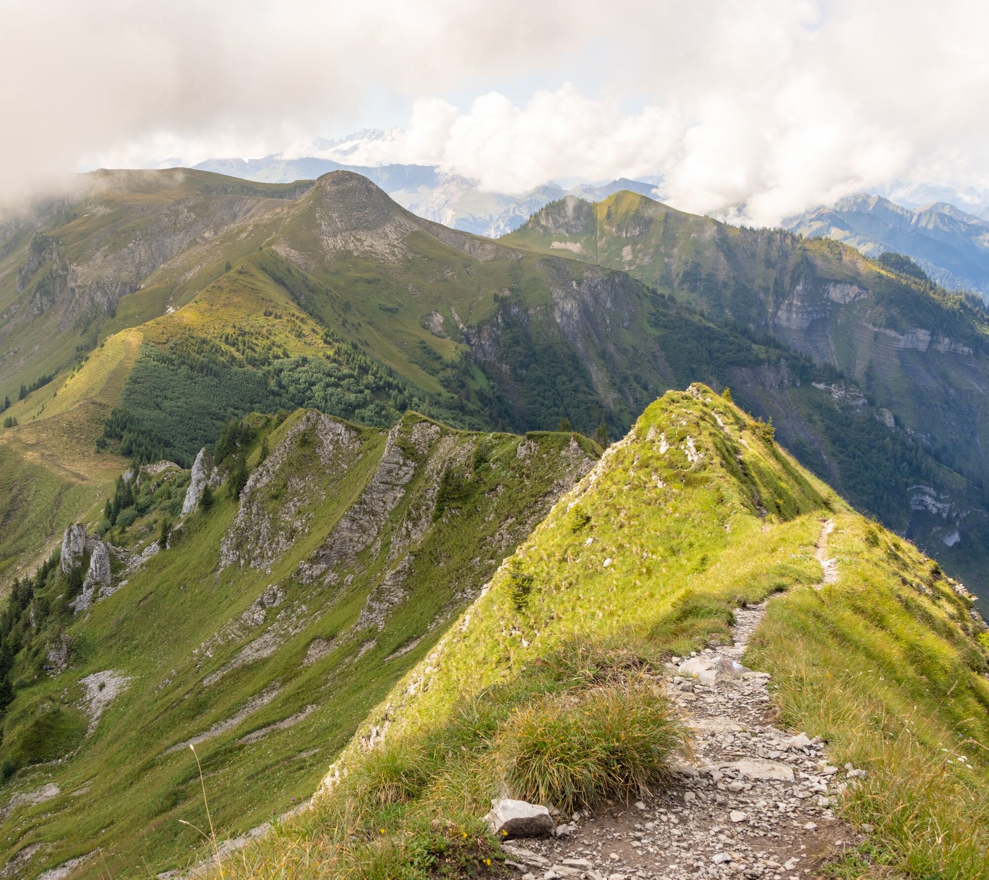
The Nidwalden High Trail circles the Engelberg Valley along marked mountain trails and winds through a stunning landscape between the Pre-Alps and the Alps. At altitudes ranging from about 1,600 to 2,...
Stage 1: Stanserhorn to Storegg Pass
The first stage begins with a breathtaking panorama from the Stanserhorn. The view stretches across numerous lakes, the Central Swiss Alps, and far into the Mittelland. After descending toward the Ächerli Pass, the trail leads along mountain paths and scenic ridges to the Storegg Pass. A few exposed sections require sure-footedness and set the tone for an intense mountain experience.
Stage 2: Storegg Pass to Melchsee-Frutt
From the Storegg Pass, the route leads through alpine meadows, wooded sections, and a rugged scree field toward Melchsee-Frutt. Along the way, views open up to the Walenstöcke and into the Engelberg Valley. The destination lies in a wide high valley, characterized by flower-filled meadows, mountain air, and the deep-blue lakes surrounding Melchsee-Frutt.
Stage 3: Melchsee-Frutt to Engelberg
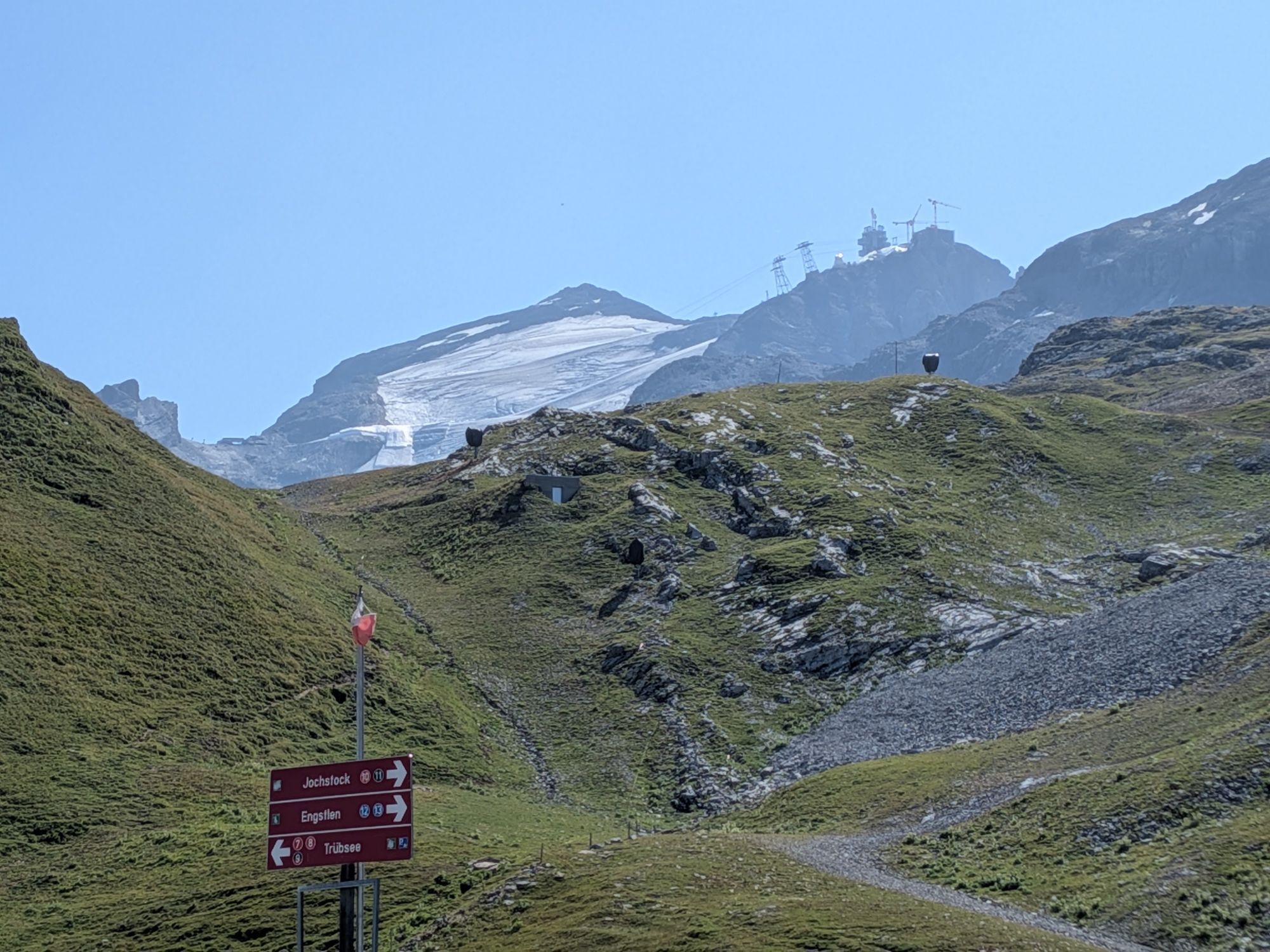
This stage connects several mountain lakes with alpine crossings and sweeping views. From Melchsee, the trail leads via Tannalp and Engstlenalp to the Joch Pass. The landscape becomes increasingly high-alpine, with views of the Titlis and the Bernese Alps. The descent via Trübsee ends in the monastery village of Engelberg, which stands out with its Benedictine monastery and alpine village charm.
Stage 4: Engelberg to Oberrickenbach
From Engelberg, the trail ascends to the Brunnihütte and continues along the famous Walenpfad. The route passes below the Walenstöcke and offers impressive views toward the Titlis, Bannalpsee, and the mountains of Central Switzerland. After the scenic pass at Walegg, the descent continues through alpine pastures and wooded sections to Oberrickenbach.
Stage 5: Oberrickenbach to Brisenhaus
On this stage, Nidwalden reveals its peaceful and unspoiled side. The trail leads via Brändlen and through the Steinalper Forest to Niederrickenbach, a car-free pilgrimage site home to the Benedictine convent of Maria Rickenbach. The route then continues uphill through stands of sycamore maple to Brisenhaus. The SAC hut is situated in a scenic spot at the foot of the Brisen, offering views of Mount Pilatus, Mount Rigi, and the Mittelland.
Stage 6: Brisenhaus to Niederbauen
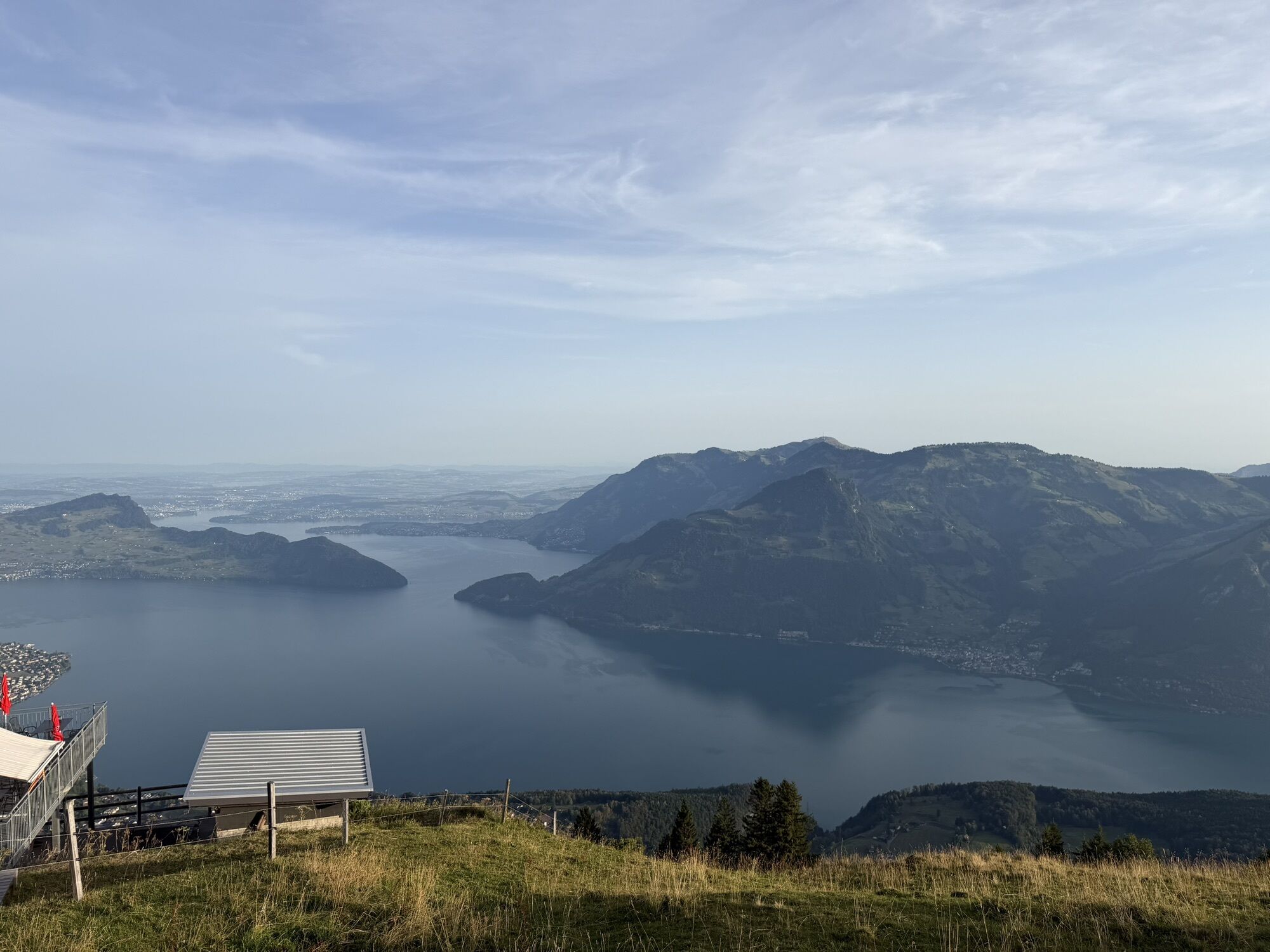
The final stage leads along the mountain flanks of Schwalmis and Oberbauen toward Niederbauen. Along the wildlife observation trail, informational signs provide insights into the region’s wildlife. With a little luck, you may spot birds or wild animals. The trail is frequently accompanied by views of Pilatus, Rigi, Mythen, and Lake Lucerne. The Nidwalden High Trail ends at the Niederbauen mountain station with a spectacular finale overlooking the lake.


Áno
Accessible by train and bus
Very limited availability; we recommend using public transportation
T3
Discover the Nidwalden High Trail at a leisurely pace on a 5-day hiking holiday with Eurotrek. Luggage transfer, selected cable car journeys, digital travel documents and a carefully planned route are all included – leaving you more time to enjoy yourself, marvelling at the scenery and simply being in the moment. Book this offer now and experience the Nidwalden High Trail with complete peace of mind!
Further informations
Webové kamery z prehliadky
-
Alpina, Melchsee
-
Käserstatt - Meiringen Hasliberg
-
Beckenried - Bootshafen Rütenen
-
Chälen - Bergstation
-
Panoramarestaurant Alpen Tower
-
Erzegg Talstation
-
Erzegg Bergstation
-
Engelberg Loipe Gerschnialp
-
Skirennzentrum / Tschuggi
-
Bidmi - Mägisalp
-
Gummenalp
-
Klewenalp
-
Engelberg - Fürenalp
-
Bonistock
-
Melchsee Frutt Dorf
-
Mägisalp
-
Skilift Gitschenen
-
Tälli
-
Hotel Engstlenalp
-
Hotel Engstlenalp
-
Gadmen
-
Pilgerhaus Maria-Rickenbach
-
Emmetten Niederbauen
-
Gleitschirm Landeplatz Emmetten
-
Bannalp
-
Stans / Spital Nidwalden
-
Ergglen - Bergstation
-
Isleten - Bauen
-
Rütliwiese
-
Rugghubelhütte
-
Engelberg Süd
-
Engelberg Loipe Dorf
-
Engelberg Golf West
-
Engelberg Grünenwald
-
Walenstöcke - Brändlen
-
Engelberg Hotel Bellevue Terminus
-
Engelberg Dorf
-
Engelberg Dorfstrasse
-
Talstation Skilift Klostermatte Engelberg
-
Stockhütte - Bergstation Süd
Získajte prehľad
Vždy naživo na mieste s viac ako 9 500 webovými kamerami. bergfex Ako používateľ Pro si teraz môžete pozrieť príslušné webové kamery pre mnohé zájazdy v aplikácii zájazdy z. Môžete si tak priamo prezerať aktuálne podmienky.
Obľúbené výlety v okolí
-
4,7
Brunnipfad
svetloTuristika 5,64 km -
4,7
Stanserhorn
svetloTuristika 17,9 km -
5,0
Walenpfad
strednáTuristika 12,2 km -
4,8
Klettersteige Brunnistöckli und Rigidalstock
ťažkéVia ferrata 6 km -
4,8
Melchsee-Frutt - Balmeregghorn - Planplatten - Käserstatt
Turistika 12,4 km -
4,0
Panorama Wanderung Melchsee-Frutt - Abgschütz - Älggialp - Stöckalp
Turistika 17,1 km -
4,3
Rund um den Melchsee
Turistika 3,21 km -
3,0
Vier-Seen-Höhenwanderung im Herzen der Schweiz
strednáTuristika 16,6 km -
4,0
Panorama-Rundwanderung Melchsee-Frutt - Planplatten - Melchsee-Frutt
Turistika 17,9 km -
4,7
Gitschen
ťažkéTuristika 13,7 km
Turistika a stopovanie


Nenechajte si ujsť ponuky a inšpiráciu na ďalšiu dovolenku
Vaša e-mailová adresa bol pridaný do poštového zoznamu.





