



Wildspitz round tour

Úroveň náročnosti: S1
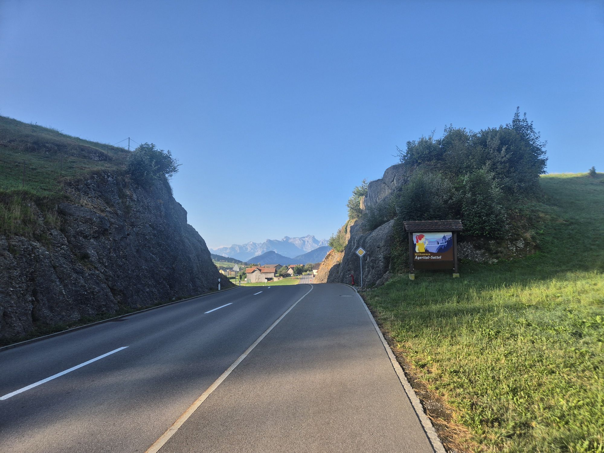
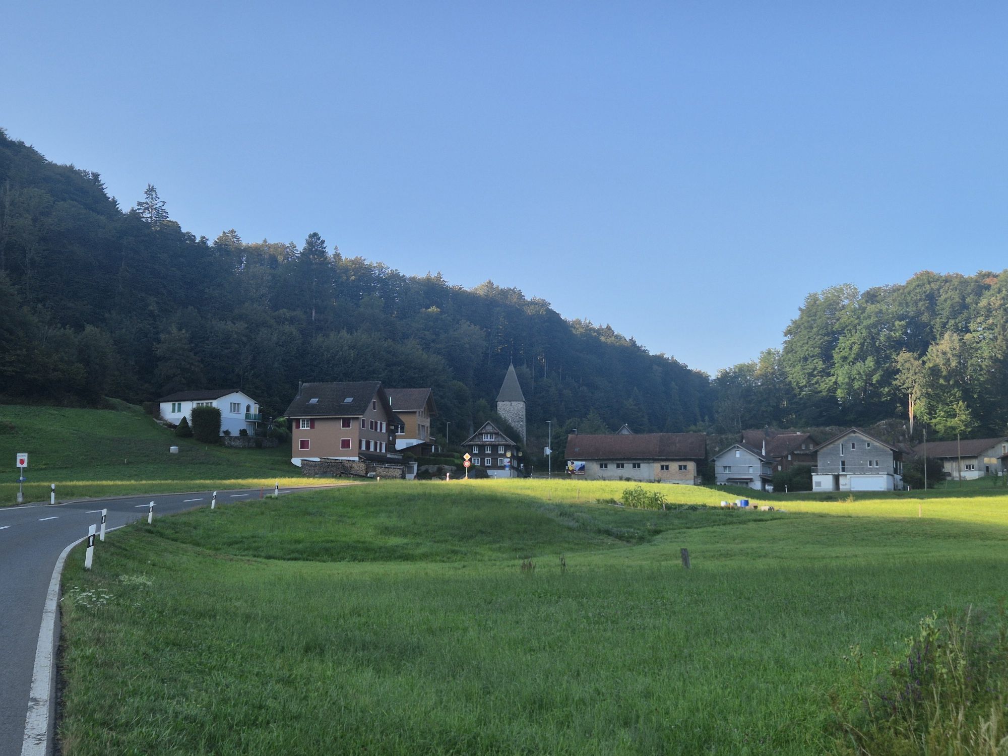

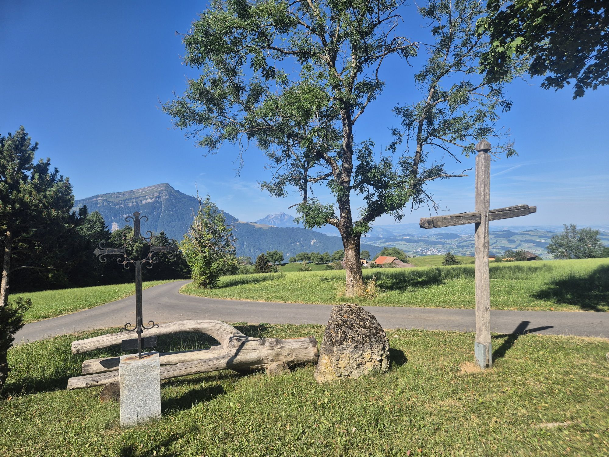
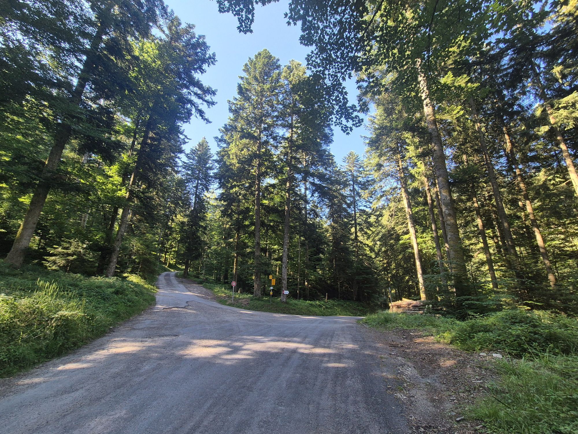


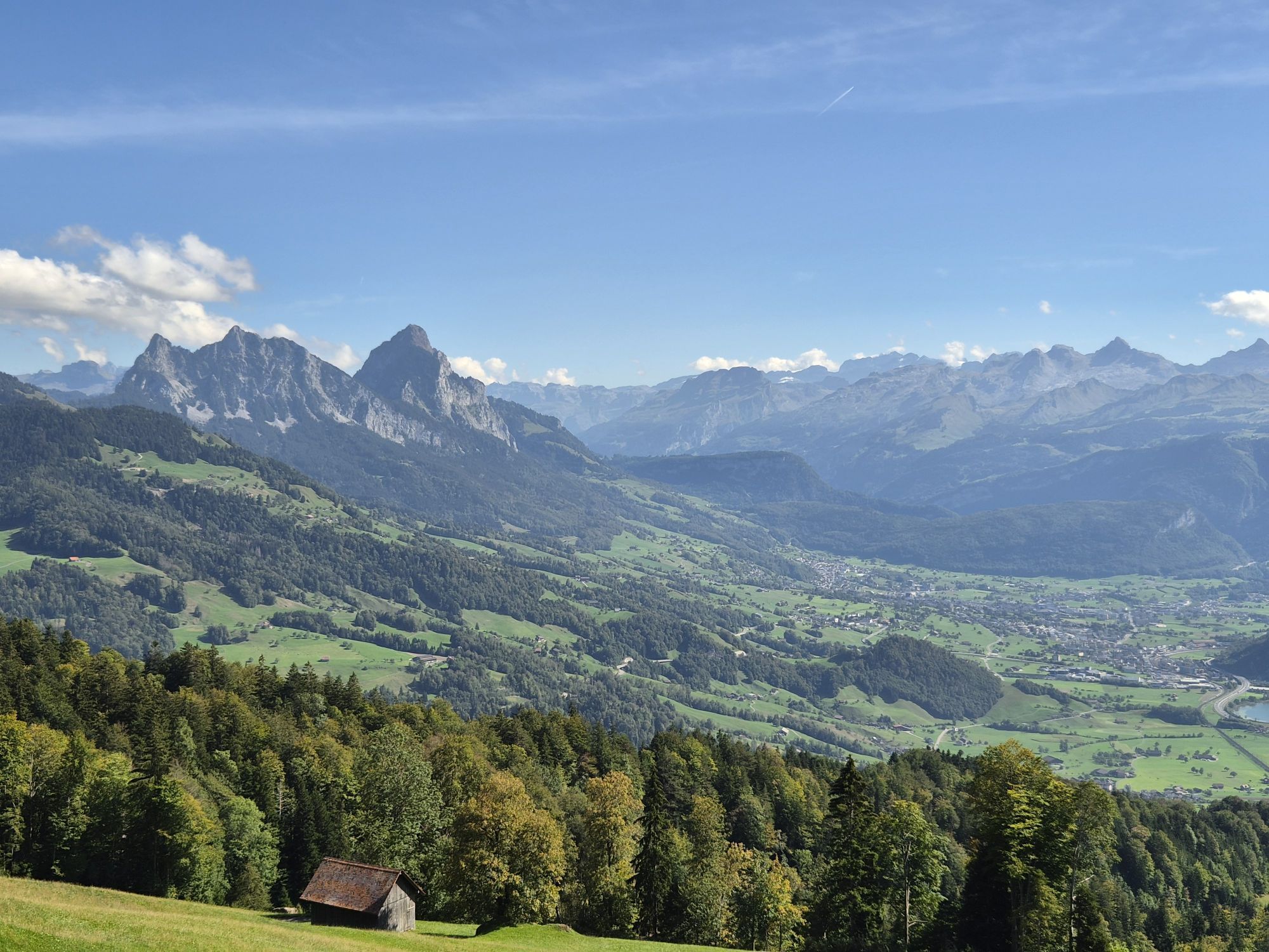
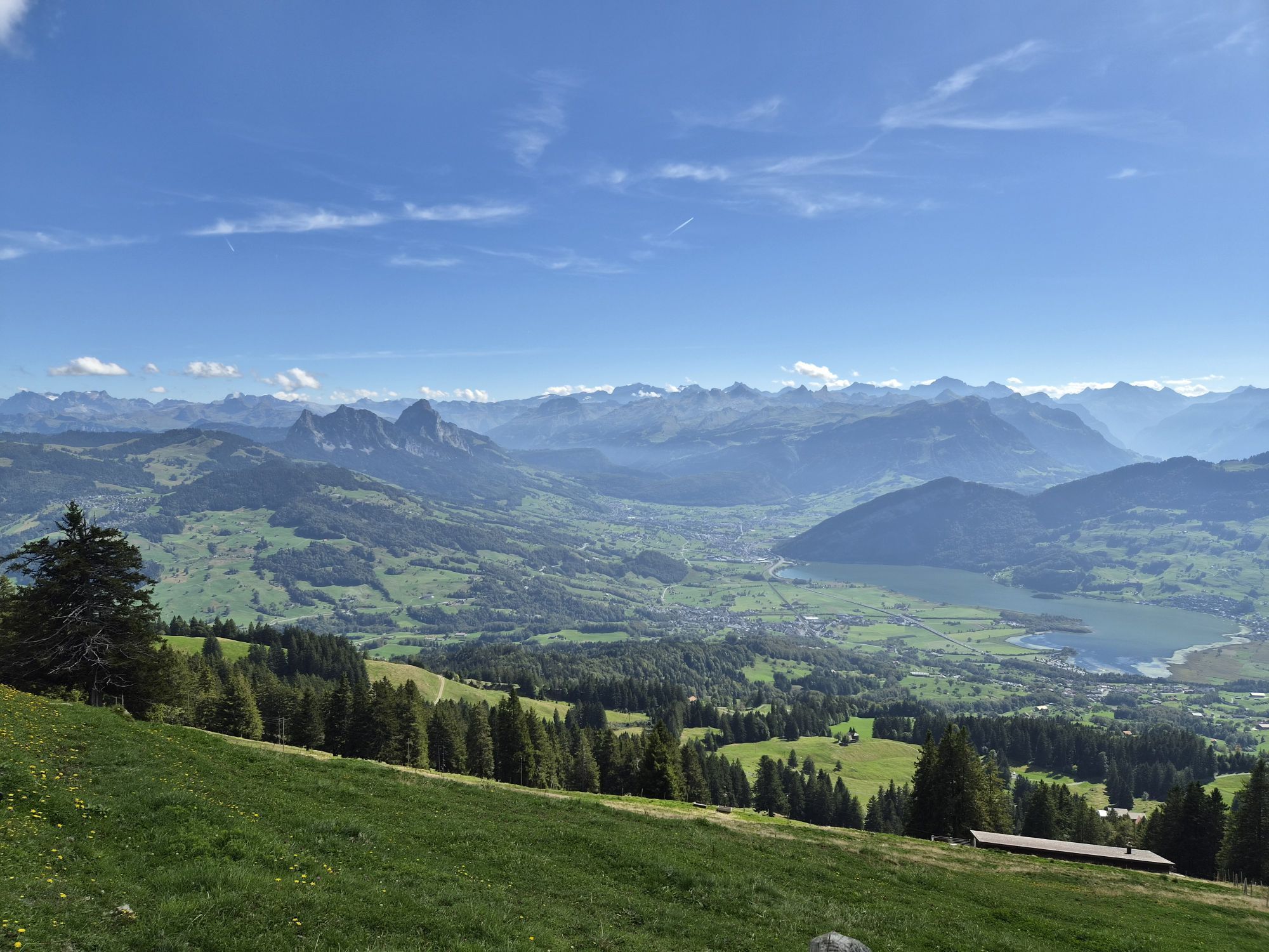
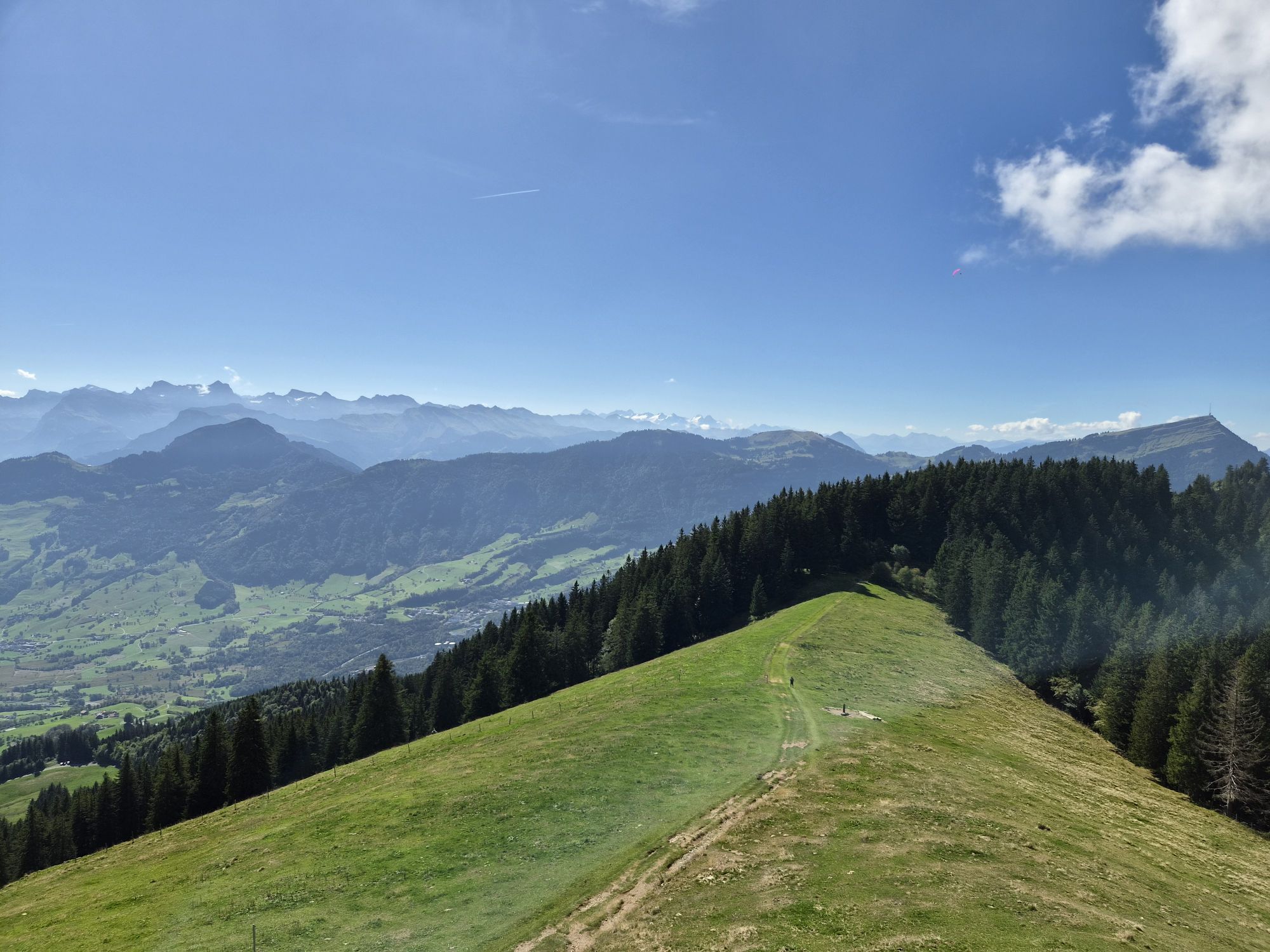
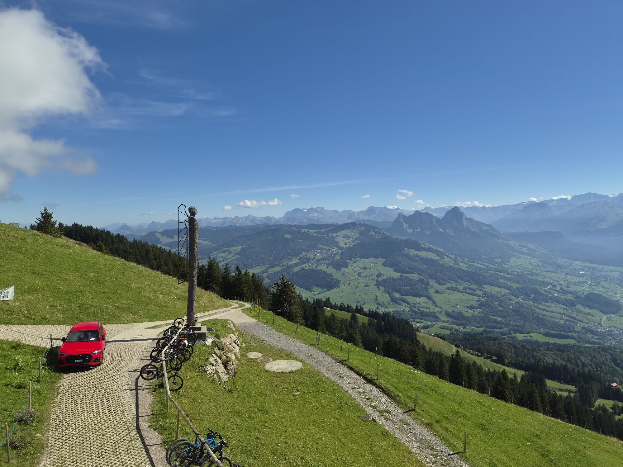
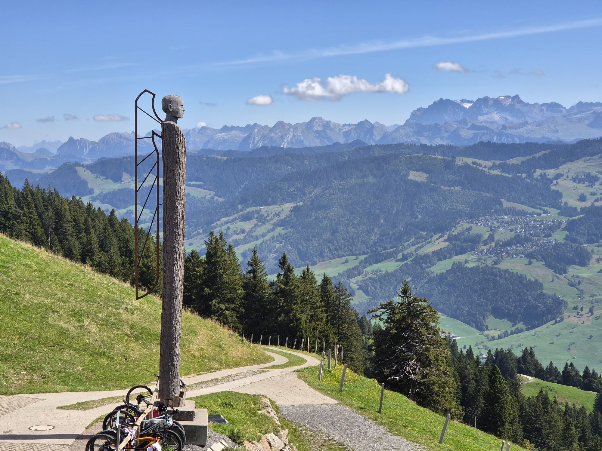
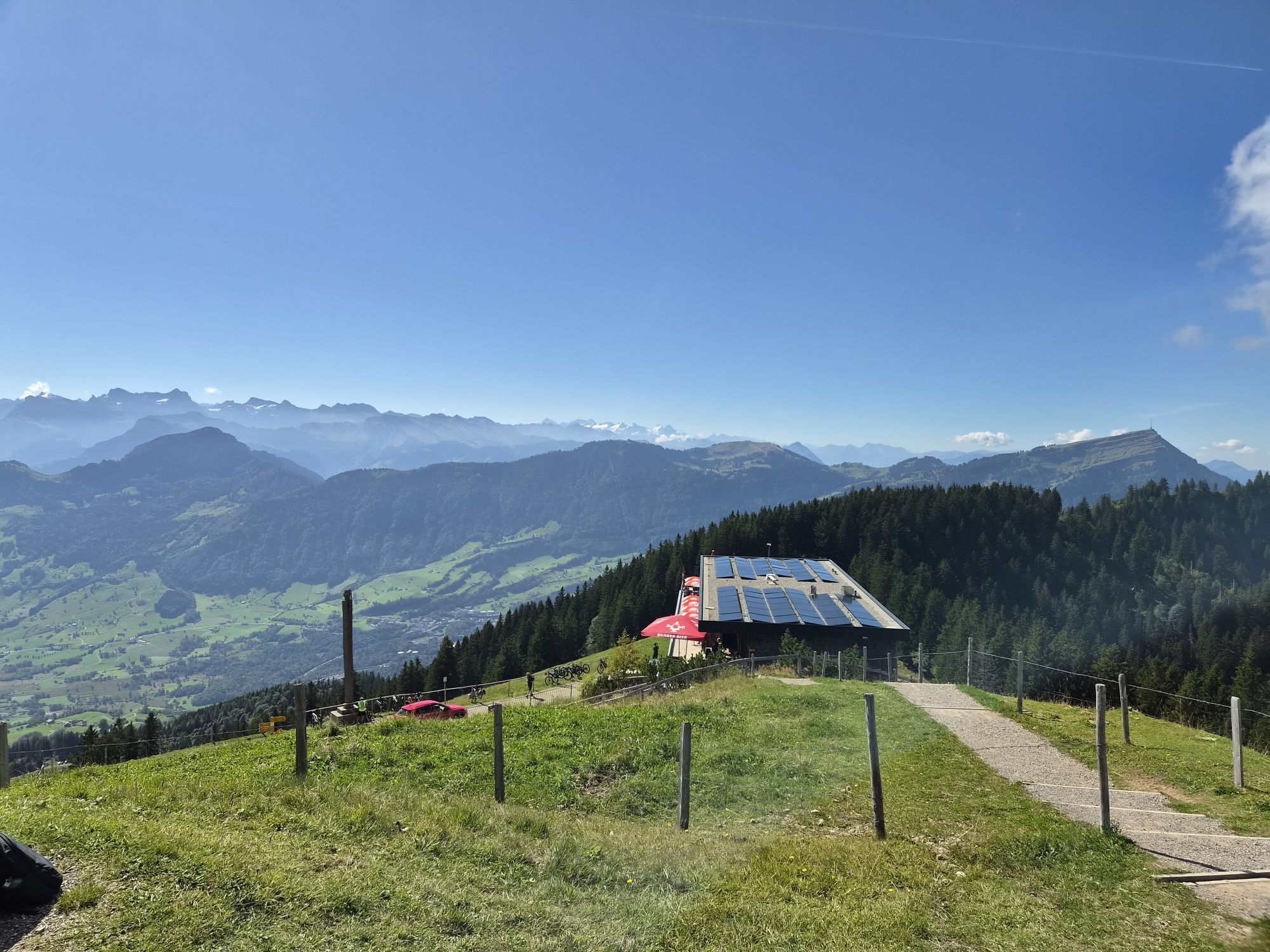


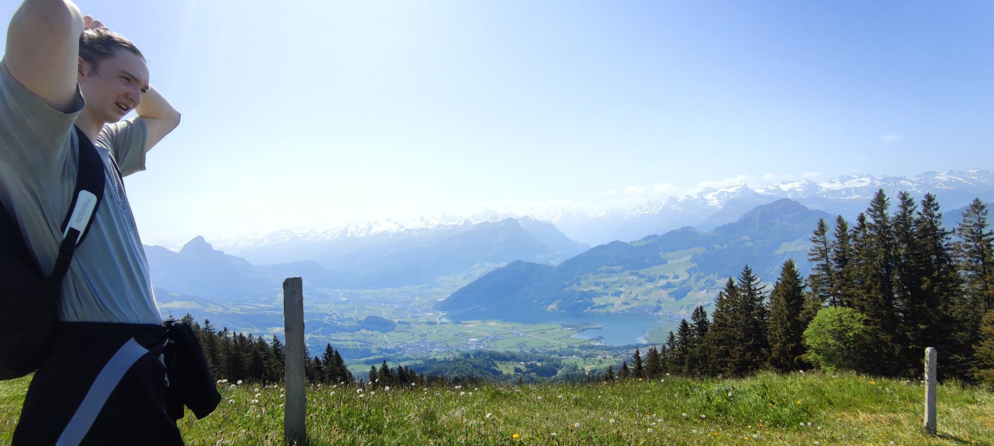


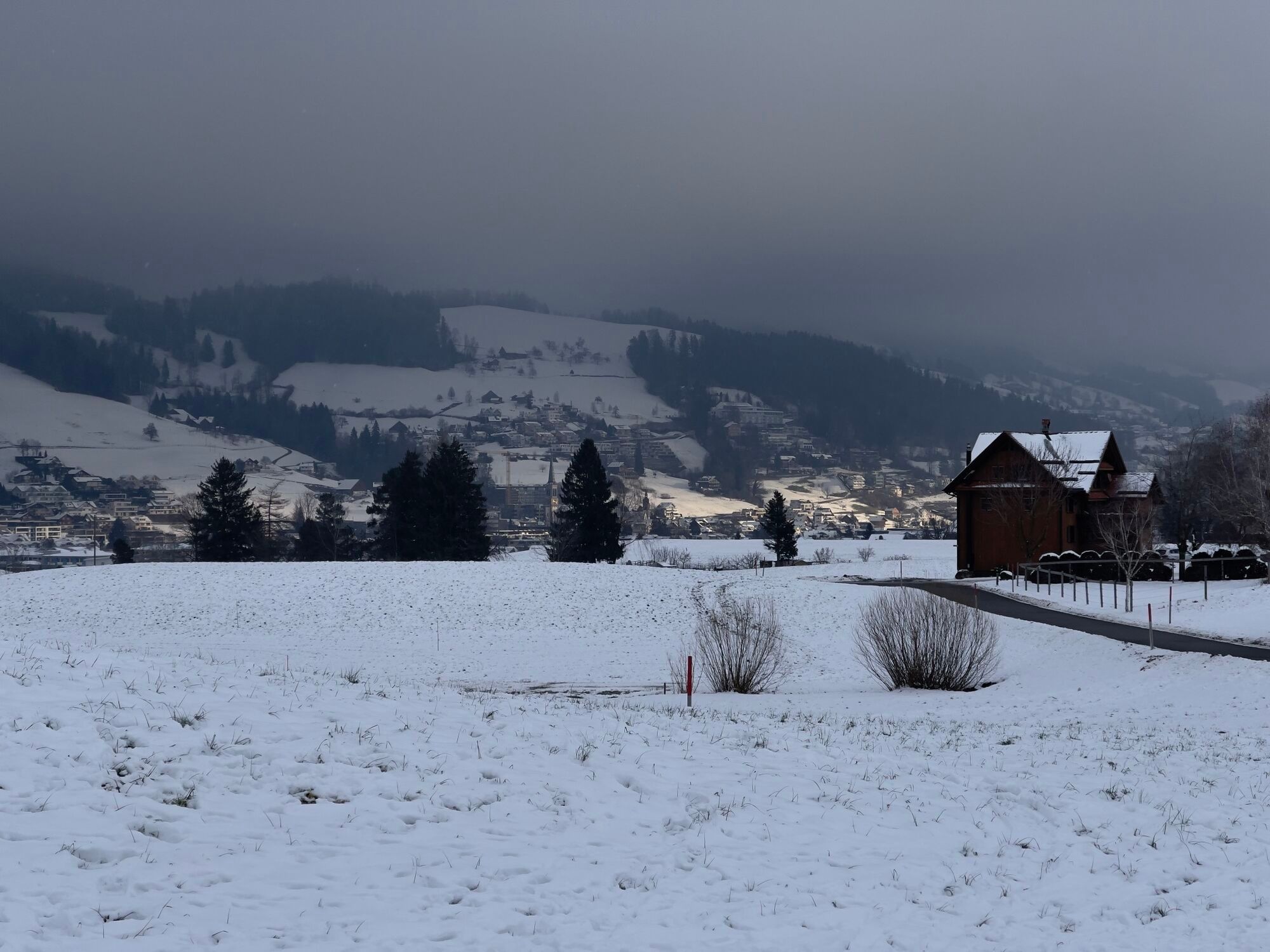
This varied mountain bike tour takes us to the "Wildspitz" summit, which offers a magnificent Alpine panorama. There are various places to stop for refreshments along the way. The ascent to the summit...
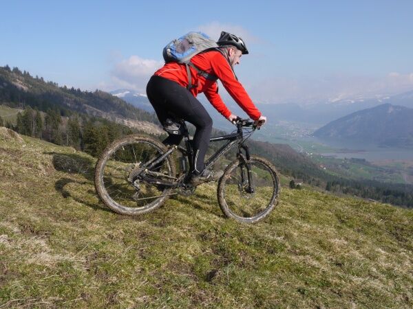
This varied mountain bike tour takes us to the "Wildspitz" summit, which offers a magnificent Alpine panorama. There are various places to stop for refreshments along the way. The ascent to the summit is relatively easy on a well-maintained asphalt road, but the descent down the north-facing forest slopes is only recommended for experienced bikers. Some sections are technically demanding. The route is then easier along the Ägerisee back to the starting point.
This richly varied mountain bike tour takes us to the summit of the "Wildspitz", which offers a magnificent alpine panorama. Throughout the entire tour, various stops for refreshments tempt you to enjoy a pleasurable stop. The ascent is relatively easy on a well-maintained asphalt road to the summit, but the descent over the north-facing forest slopes is only recommended for experienced bikers. Some parts are technically demanding. It is rather easier to ride along the Ägerisee back to the starting point.
Note(s)
In wet weather, the difficulties on the descent increase (see also variant A).
Between Wildspitz and Stafel, the route runs mostly in closed forest, so depending on the conditions, it may affect GPS reception.
Note(s) In wet weather, the difficulty of the descent increases (see also variant A). Between Wildspitz and Stafel, the route runs mostly in closed forest, so depending on the conditions it may affect GPS reception. See also Vital Eggenberger; Central Switzerland; Tour 7 shows a similar route
See also
Vital Eggenberger; Central Switzerland; Tour 7 shows a similar route


Sattel Letziturm - Sattel - Wildspitz - Urzelenboden - Buschenchappeli - Nollengatter - Wildbrunnen - Nas - Sattel Letziturm
S1
Webové kamery z prehliadky

Obľúbené výlety v okolí
-
4,3
Mythenweg - Bergwanderung auf den Grossen Mythen
ťažkéTuristika 3,40 km -
4,5
Kleiner Mythen
strednáTuristika 6,31 km -
3,9
Rundweg Seebodenalp Küssnacht am Rigi, Schweiz
strednáTuristika 9,56 km -
4,7
Mythen via Ibergeregg
strednáTuristika 9,73 km -
4,5
Brunni-Feuerstellen-Rundwanderung
svetloTuristika 11,5 km -
5,0
Wanderung entlang der Mythen, Alp "Zwüschet-Mythen"
strednáTuristika 10,5 km -
4,4
Seebodenalp Panoramaweg
svetloTuristika 5,25 km -
4,7
Holzegg - Grosser Mythen - Restaurant Grosser Mythen - Alpwirtschaft Brunnialp
strednáTuristika 5,66 km -
3,9
Gnipen - ab Goldau - Rundwanderung
strednáTuristika 10,6 km -
4,8
Home-Rigi Kulm-Home
strednáTuristika 18,6 km
Turistika a stopovanie


Nenechajte si ujsť ponuky a inšpiráciu na ďalšiu dovolenku
Vaša e-mailová adresa bol pridaný do poštového zoznamu.


